Multipitch Atlas

Velebit Express

Rujičin kuk · Dabarski kukovi (Velebit) · Croatia

Read the cautionsBail with caveatsBolting confidence: medium

The easiest bolted line on the face, up flakes, cracks and water grooves in a wild karst setting. It dries fastest after rain. Pitch grades are from the Čujić topo; camptocamp's ascensionists felt 5b/5c/5b/5b.

Rujičin kuk, Dabarski kukoviPhoto: Dom · CC BY-NC-ND 3.0

Photo

Rujičin kuk, Dabarski kukoviPhoto: Dom · CC BY-NC-ND 3.0
Hardest pitch
5b
Pitches
4
Length
140 m
Approach
10 min
Aspect
SW
South-west-facing
Rope
2×50 m to abseil
walk-off also possible
Read before you go

Bolted with no trad gear required, but pitch 1 is sparsely bolted and pitch 2 has one gap of more than 10 m before the crux step.

The route

Overview

Velebit Express is the easy introduction to the south-west face of Rujičin kuk, one of the white limestone towers of the Dabarski kukovi in the middle Velebit. Four pitches follow flakes, cracks and water grooves, cross the gully that splits the face, and finish up a slab and a short steep step to the crest. It is bolted, but not evenly: the first pitch is sparse and pitch 2 has one long gap, so it feels more alpine than the grade suggests. It stays drier after rain than the neighbouring slab routes. The setting is wild karst with dolines and forest and very few people.

The climbing

Pitch by pitch

Pitches of Velebit Express
PitchGradeLengthBoltsNotes
P14c35 m5 boltsA run of flakes and water grooves trending slightly left, then easier rock to the belay. Only 5 bolts in 35 m; you can add slings. camptocamp contributors felt 5b.
P25b40 m–Straight up, then traverse right towards the gully with only one bolt in more than 10 m. A delicate step gains the gully (crux); cross it rising slightly on good flakes, then continue diagonally right past bolts to the belay. camptocamp contributors felt 5c.
P35a40 m–Long pitch up and slightly right past a small tree onto an easing slab with water grooves. Very well protected. Chain belay, with a rescue plaque, below the steep step under the summit. camptocamp contributors felt 5b.
P44c25 m–A steep step straight above the belay, then easy rock to a belay just under the crest. camptocamp contributors felt 5b.

Getting there

Approach

To the parking

Base: Karlobag on the coast, or Baške Oštarije on the pass above it. From Karlobag drive about 10 km towards Gospić, then turn left for Ledenik / Ravni Dabar. Ignore a left fork and follow the tarmac for about 6 km to the Dabarska kosa pass, where the whole face comes into view. Continue about 1 km on a good gravel track to the narrows between Kuk od Korita and Rujičin kuk, which marks the end of the face. Several small parking spots there. No public transport is mentioned in any source.

On foot · about 10 min

About 10 min. From the track walk down along the foot of the wall. After 5 to 10 min, where the ground eases and the trees open, continue under the wall and scramble a few metres onto a rocky knoll topped by a clump of big trees, directly below the gully or wide crack that splits the face. The route starts just left of that gully, up a smaller crack trending slightly left, and crosses the gully on pitch 2.

Map of the walk-in

  • Crag

Loading map

The point marks the crag, not the exact start of the route.

Coordinates · crag

44.56563, 15.12060

Point from camptocamp waypoint 43168

For your phone or watch

Download GPX

Contains the route point. Opens in most mapping apps and GPS watches.

Points are compiled from published sources, with the precision stated above. They were not surveyed on the ground: check them against a current topo.

Getting down

Descent

Walk off: from the top belay go up and left about 20 m to the marked trail on the crest and follow the waymarks back to the track, about 10 min. Or abseil: first a 25 m abseil down the final step. This lands at a row of anchors reserved for rescue; the permitted abseil anchor is a few metres lower, on the left as you face the rock. From there go down the face using the linked belays of the neighbouring routes. camptocamp says two 50 m abseils should do it if you know the wall, and three are easy to find. You land at the foot of the face on the other side of the starting knoll. A 2023 party took 45 min for the abseils.

Retreat

Bailing off the route

Bail with caveats

Yes, with two ropes. Abseiling the face is a described alternative to the 10 min walk-off, but it does not follow the route: you use the linked belays of neighbouring routes, and camptocamp says they are easy to find. Pitch 2 traverses right across a gully, so do not expect to abseil straight back down your own line.

Retreat from
R3 is a chain belay; from near it the described abseil line runs down the face on neighbouring routes' linked belays in two or three abseils of up to 50 m. Whether R1 and R2 themselves are linked is not stated. The row of anchors at the foot of the final step is reserved for rescue; use the permitted anchor a few metres lower on the left, facing the rock.
Point of no return
None documented. By inference, from R3 the top is one 25 m pitch of 4c away and the walk-off takes 10 min, which is quicker than abseiling.
Carry
2×50 m ropes. A few slings and a maillon in case you have to abseil from R1 or R2.
Basis
Part stated, part inferredcamptocamp states the abseil option, the linked belays on neighbouring routes, the chain at R3 and the rescue-only anchors; retreat from R1 and R2 and the gear to leave are inferred.

Partly inferred from the route facts

Safety

Hazards

  • Spaced bolts: pitch 1 has only 5 bolts in 35 m, and on pitch 2 there is a single bolt in more than 10 m on the traverse towards the gully, just before the delicate crux step. A 2023 report confirms pitch 1 is 'not over-equipped' and the later pitches much better.
  • At the top of the first abseil there are anchors reserved for mountain rescue. Do not use them; the permitted abseil anchor is a few metres lower to the left (facing the rock).
  • Access restrictions: climbing is prohibited on most of the Dabarski kukovi cliffs to protect flora and fauna. Rujičin kuk is one of the three where it is allowed (with Agin kuk and Kuk Čelina). New routes need approval from Velebit Nature Park.
  • Remote karst area: carry your own drinking water.

Sun and weather

Conditions

South-west face, summit at about 940 m. camptocamp reports climbed it in June and July. It is the route on the face that stays driest after rain: in July 2023 it was almost dry the day after a night storm while the neighbouring slabs were streaming. Quiet area.

Usual season · May to Oct

Sun on the wall · SW-facing

Working out the sunlit hours for this month.

  • January: not yet worked out
  • February: not yet worked out
  • March: not yet worked out
  • April: not yet worked out
  • May (usual season): not yet worked out
  • June (usual season): not yet worked out
  • July (usual season): not yet worked out
  • August (usual season): not yet worked out
  • September (usual season): not yet worked out
  • October (usual season): not yet worked out
  • November: not yet worked out
  • December: not yet worked out

Sun on the wallDaylight, wall in shade● Usual season

Estimated from the wall's aspect only. Ignores surrounding terrain, gullies and the wall's exact shape. Clock times are local to the wall (Central European time), for the 15th of each month.

Monthly climate averages for Dabarski kukovi (Velebit), 1991-2020
MeasureJanFebMarAprMay (usual season)Jun (usual season)Jul (usual season)Aug (usual season)Sep (usual season)Oct (usual season)NovDec
Mean daily high °C4581217212424191495
Mean daily low °C−3−30481315151173−1
Rain days 1 mm or more11101112118669111312
Sunshine hours a day5.97.59.110.511.912.913.312.610.38.26.25.5

● marks the usual climbing season. Averages for 1991-2020 at about 878 m. Area climate from Open-Meteo reanalysis (about 10 km grid): the wall and valley can differ. Data: Open-Meteo, CC BY 4.0.

What to carry

Gear

Quickdraw count is not given in any source. Take several slings and cord loops to supplement the bolts, as camptocamp advises. Two 50 m ropes if you plan to abseil; pitches are up to 40 m. Helmet.

Checklist

Quickdraws
Number not given in the sources
Rope
2×50 m to abseil; walk-off also possible
Helmet
One each
Abseil device and prusik
The descent or the retreat involves abseiling
Slings
Mentioned for retreat
Maillons or spare karabiners
To leave behind if you retreat

Derived from the route data; check it against a current topo

From climbers

Reader reports

Reader reports are not being collected yet. Until they are, check a current topo and the local club or guidebook publisher for recent changes to Velebit Express.

Worth knowing

Tips

  • The walk-off along the crest takes 10 min and is far quicker than abseiling.
  • Good fallback after rain when the slab routes such as Ma-Jo are wet.
  • Where to stay: camptocamp recommends the 'Velebit Kamp' campsite at Baške Oštarije. thetopo also mentions the mountaineers' lodge at Ravni Dabar, open at weekends in summer.
  • A camptocamp party took 2 h for the route.

Open questions

Where sources disagree

  • Pitch grades: the Čujić topo gives 4c, 5b, 5a, 4c; camptocamp's contributors felt 5b, 5c, 5b, 5b; Mountain Project gives 5b overall. The guidebook grades are listed here, with the camptocamp grades noted per pitch. Expect it to feel about a grade harder than the book.
  • Length: Mountain Project says 121 m; camptocamp's pitch lengths add up to 140 m and it gives 150 m of height. This entry uses 140 m.
  • Approach: about 10 min (camptocamp) against about 5 min plus 100 m under the wall (Mountain Project).
  • Bolting: Mountain Project simply says 'bolts and bolted anchors'; camptocamp rates it P1+ but spells out the sparse first pitch and the 10 m gap. This entry follows camptocamp.

Provenance

Sources

Same area

More in Dabarski kukovi (Velebit)

All routes in Dabarski kukovi (Velebit)
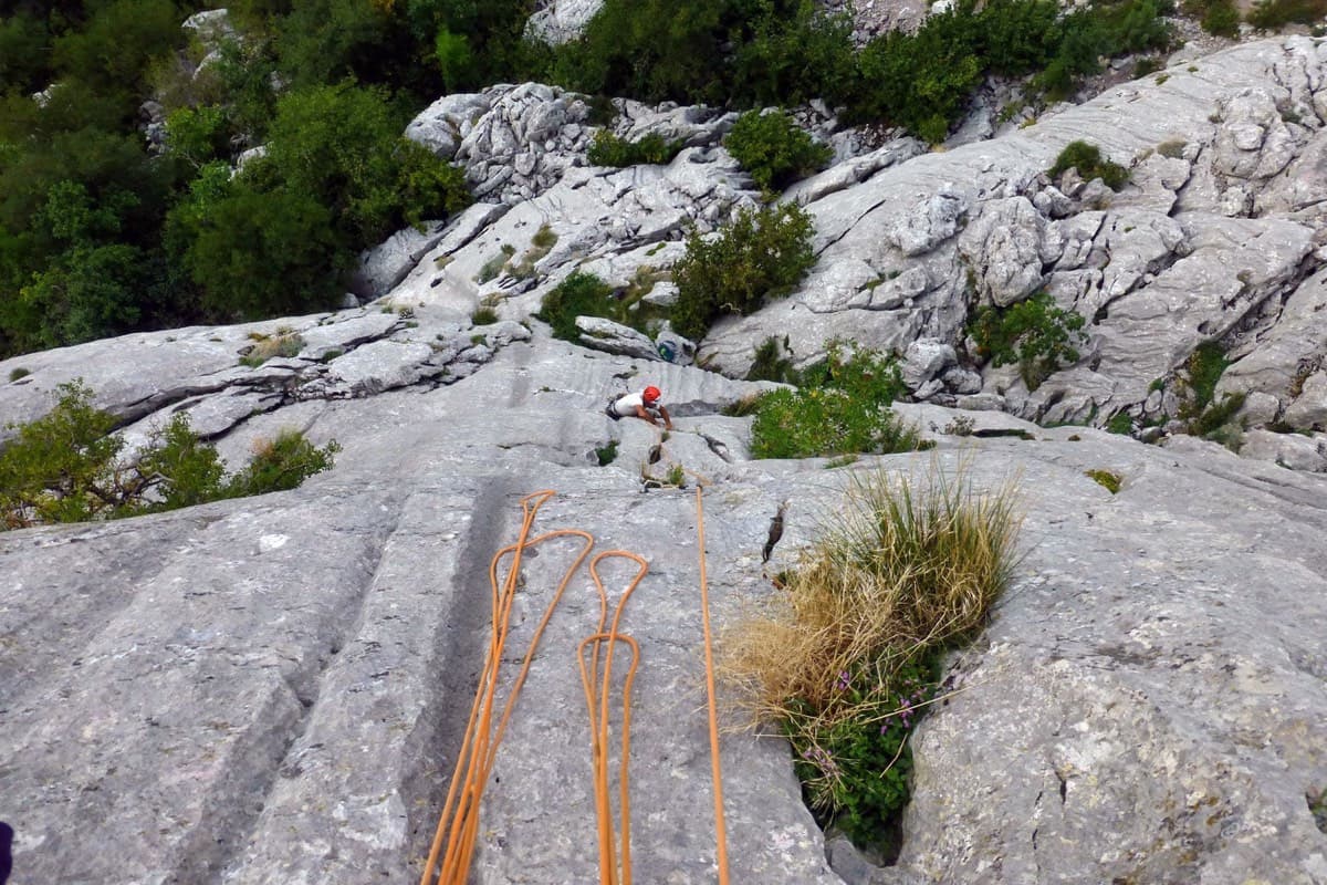
Looking down the lower part of Via Manuela on Rujičin kuk, August 2019

Croatia · Dabarski kukovi (Velebit)

Via Manuela

Four steep and technical pitches of 6a to 6b+ followed by two easy ones up the water-runnelled top of Rujičin kuk. The hard climbing is on compact, less featured rock than Paklenica and relies on footwork, including two delicate traverses. A quiet inland crag that is far cooler than the coast in summer.

6b+6 pitches145 m

Read the cautions
Around 5b · about 4 pitches

Similar elsewhere

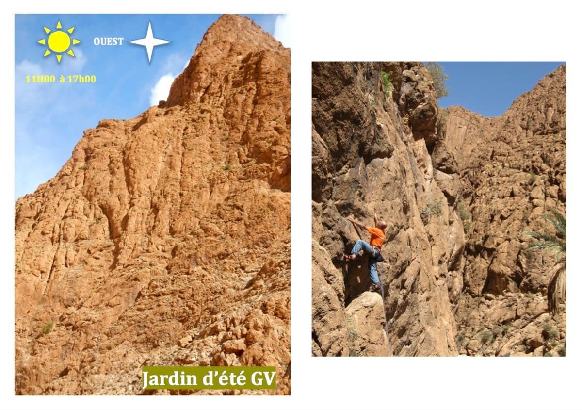
Jardin d'été multi-pitch wall (left) and a climber in the sector (right), Todra Gorge

Morocco · Todra Gorge (Todgha)

Tik Sab

Four pitches of even 5b, five minutes from the road. In the sun all afternoon. A good short first multipitch of a trip.

5b4 pitches125 m

Gorra Marinera, the Magdalenes, Gorra Frígia and Trencabarrals, Montserrat

Spain · Montserrat

Via Sargantanes

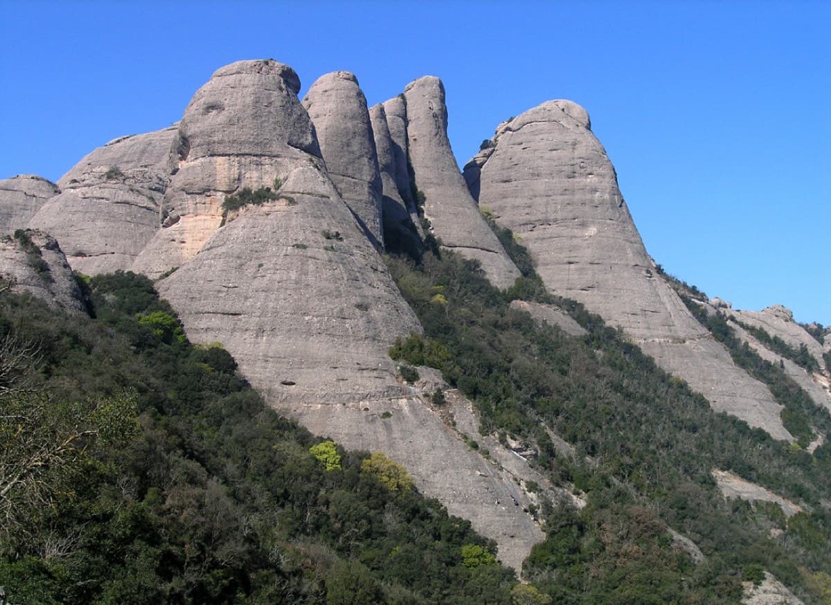
A popular first Montserrat multipitch close to the monastery. Steep pebble walls at 5b are split by easy slabs, finishing on an airy summit cap.

5b6 pitches145 m

Read the cautions

The Parete Zebrata (Placche Zebrate) above Dro, with the lines of three other routes at its left end marked

Italy · Arco & Valle del Sarca

Man-Ilia

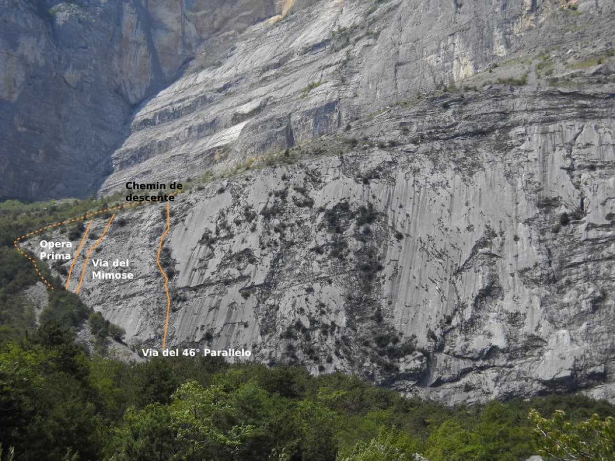
An easy, relaxing sport route on low-angle Zebrate slabs, trending left to right to join Cane Trippa at the fifth belay. It's an excellent first multipitch. Gulliver gives UIAA III / II–III / IV / IV–IV+ for the first four pitches, converted here.

5b6 pitches240 m

Topo of Anorexia on Mallo Colorado, Riglos

Spain · Riglos & Agüero (Mallos)

Anorexia

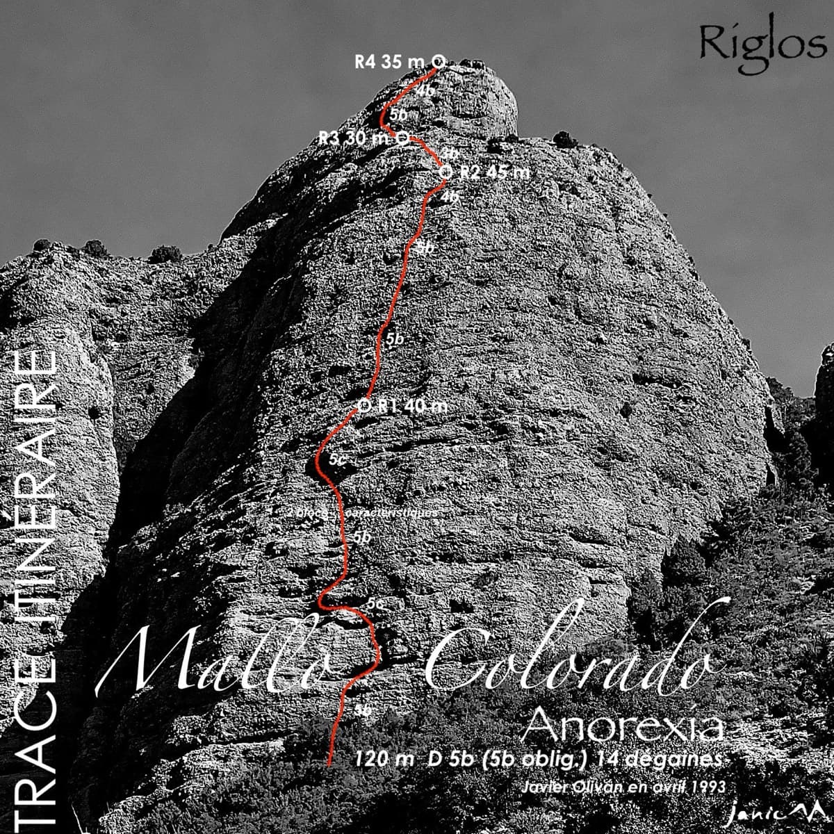
The best-known route on the Mallo Colorado. Two steep, juggy panza pitches have a well-protected boulder move, giving a short taste of real Riglos steepness at a friendly grade.

5c4 pitches150 m

Compiled from published sources and last verified October 2026. Bolts, anchors and access change. Climbing is dangerous and you are responsible for your own decisions: check a current topo and read the disclaimer.