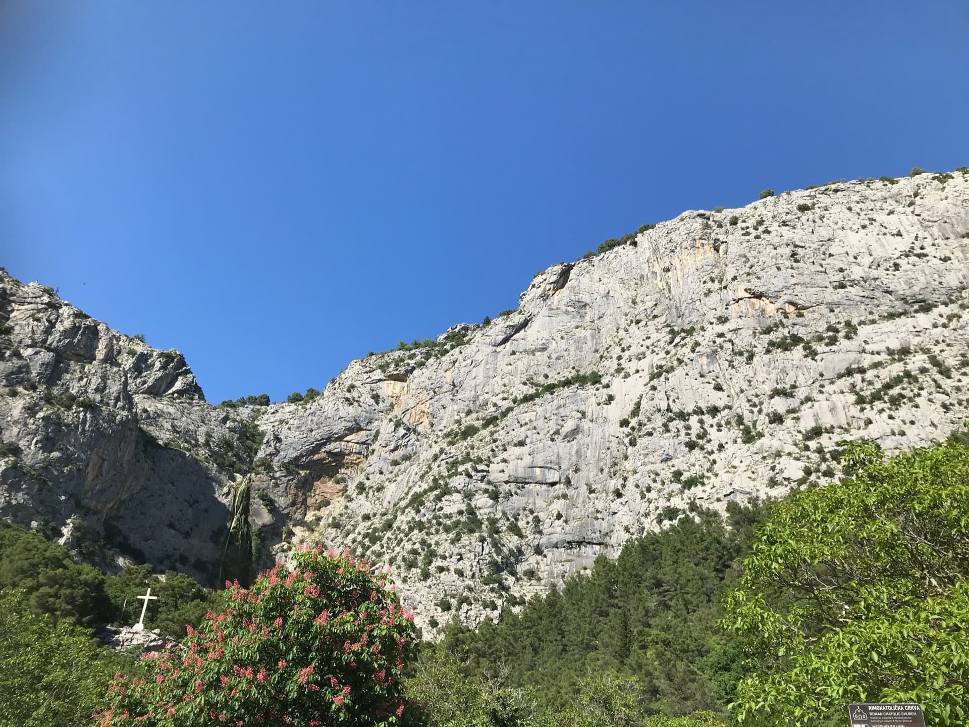
Croatia · Omiš
Rambo
Omiš's signature moderate: long, slabby pitches on knobbly grey limestone with big views over the Cetina mouth and the Adriatic. The crux is a short crack on the final pitch.
6a6 pitches230 m
Ilinac (tower above the Education Trail) · Omiš · Croatia
Easy to bailBolting confidence: medium
An easy, friendly route up a small tower and the ribs above it, on rock covered in knobs and warts. It is one of the very few bolted multipitch routes at this grade around Omiš and was put up with beginners in mind. The second belay touches the path, so you can walk off half-way.
The route
Warthogrock is a short, easy multipitch on the lower rocks of Ilinac, climbed in four pitches from the foot of a small tower to the Education Trail above. The first ascensionists' topo gives 5b+ for the hardest move and 5a obligatory, and describes it as a good first multipitch and a useful add-on to the longer Ilinac routes. Protection is a mix of stainless bolts and threads, rated very good by the authors. The second belay sits beside the path, and the first and third are rigged for abseiling, so the route is easy to cut short. It is lightly travelled: plezanje.net and thetopo.com show only a handful of logged ascents, the latest in April 2026.
The climbing
| Pitch | Grade | Notes |
|---|---|---|
| P1 | 5b | Up the front of the tower: 5b at the start, then 5a, on bolts and threads to a bolted belay on top. The topo marks a 25 m abseil from this belay. |
| P2 | 5a | Easy ground (3a) along the ledge to the left, then a 5a wall to a bolted belay beside the trail. You can walk off from here. |
| P3 | 5b+ | The best and hardest pitch: 5b, a 5b+ move, then 5a up the rib on bolts and threads to a bolted belay. The topo marks a 25 m abseil from here. |
| P4 | 5a | 5a up and right across the wall (an easier 3b variation cuts the corner), then 4c up the final rib to a bolted belay on the Education Trail. |
Getting there
Omiš is on the coast about 20 km south-east of Split and has a bus service from Split. For Ilinac, drive from the centre along the north (right) bank of the Cetina towards Gata, take the right fork back down to the river and park by the river just before the gated hydroelectric plant at Zakučac.
About 20 min. From the parking by the hydroelectric plant follow the wide path to the shrine of St Leopold Mandić (2 min), where the signed Education Trail starts. Follow it to the signpost between Station 5 and Station 6, where the trail splits into its ascent and descent branches; every information board carries a map. The first pitch, a small tower, is visible just above this junction. Follow cairns straight up for about 5 min to the foot of the tower. The start is marked by a red sling about 2 m up and a bolt beside the first big knob.
Loading map
The point marks the crag, not the exact start of the route.
Point from camptocamp waypoint 237965 (Ilinac)
Contains the route point. Opens in most mapping apps and GPS watches.
Points are compiled from published sources, with the precision stated above. They were not surveyed on the ground: check them against a current topo.
Coordinates: 43.45933, 16.70536 (crag)
Getting down
The route ends on the Education Trail. Follow it back down to the shrine and the car park, about 30 min.
Retreat
Easy to bail
The first ascensionists' topo states that you can abseil from the first and third belays (25 m each) and walk off from the second, which touches the trail. The route itself ends on the trail.
Safety
Sun and weather
Low-lying, close to the Cetina, so it is hot from late spring to early autumn. The aspect of the tower is not stated; Mountain Project describes Ilinac as a whole as south-west facing. The months given are those used for the other Ilinac routes; no source states a season for this route.
Sun on the wall
No estimate: the wall's aspect is not recorded for this route.
| Measure | Jan | Feb | Mar (usual season) | Apr (usual season) | May (usual season) | Jun | Jul | Aug | Sep | Oct (usual season) | Nov (usual season) | Dec |
|---|---|---|---|---|---|---|---|---|---|---|---|---|
| Mean daily high °C | 8 | 9 | 12 | 15 | 19 | 24 | 27 | 27 | 22 | 18 | 13 | 9 |
| Mean daily low °C | 1 | 2 | 4 | 8 | 12 | 16 | 18 | 19 | 15 | 11 | 7 | 3 |
| Rain days 1 mm or more | 11 | 10 | 10 | 12 | 10 | 7 | 5 | 5 | 8 | 11 | 13 | 12 |
● marks the usual climbing season. Averages for 1991-2020 at about 333 m. Area climate from Open-Meteo reanalysis. Temperatures are adjusted to the height of the crag; rain comes from a grid cell of about 10 to 25 km, and summer highs on sea cliffs can read a few degrees low. The wall and valley can differ. Data: Open-Meteo, CC BY 4.0.
What to carry
9 quickdraws, a single 50 m rope and 4 slings (the first ascensionists' list). The slings are for the threads and trees. Helmet.
Derived from the route data; check it against a current topo
From climbers
Reader reports are not being collected yet. Until they are, check a current topo and the local club or guidebook publisher for recent changes to Warthogrock.
Worth knowing
Open questions
Provenance
Same area
Croatia · Omiš
Omiš's signature moderate: long, slabby pitches on knobbly grey limestone with big views over the Cetina mouth and the Adriatic. The crux is a short crack on the final pitch.
6a6 pitches230 m
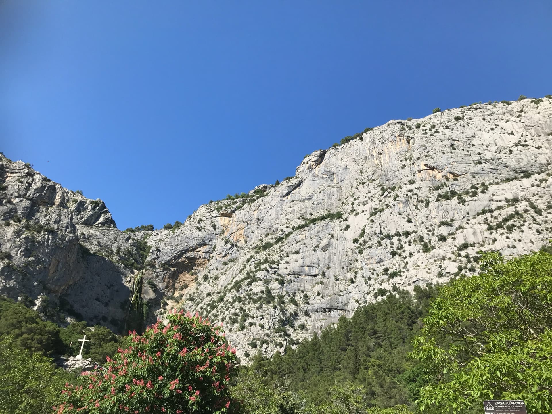
Croatia · Omiš
A long, varied line of slabs, corners and ledgy traverses up the middle of Ilinac. MP and plezanje.net count the pitches differently (7 vs 8) because they split the short easy top pitches differently.
6b8 pitches235 m
Read the cautions
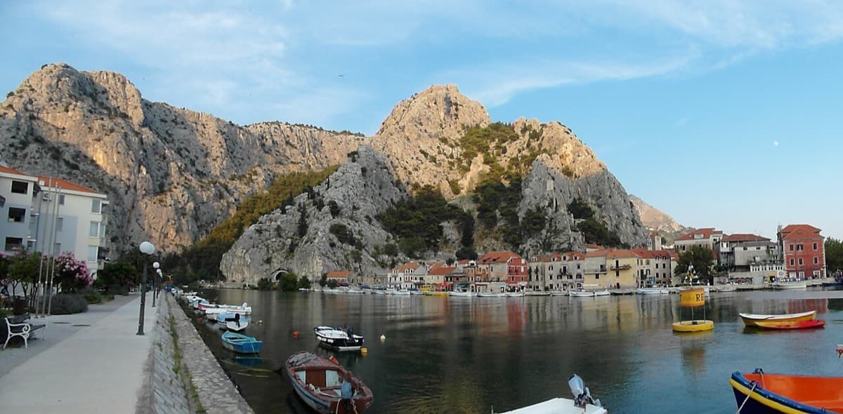
Croatia · Omiš
Sharp, coral-like rock mixing slab and steep juggy walls, finishing up a crack system. It has the best views in Omiš, over the sea, the river and the old town.
6a+5 pitches200 m
Read the cautions
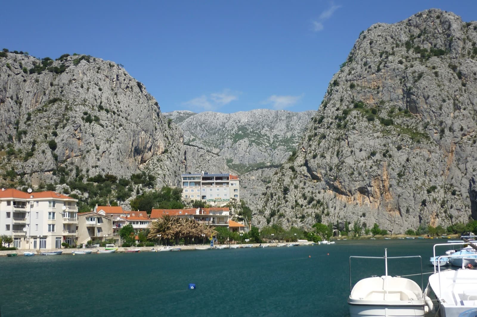
Croatia · Omiš
A 2024 line up the detached needle, nicknamed the Salami, on the south flank of Kula in the Cetina canyon behind Omiš. Five sustained pitches of 6b to 6c+ on excellent rock, split by a short walk across a ledge: crack-seamed slab, water grooves, an airy corner crack and steep technical wall climbing on the headwall. The obligatory grade is high.
6c+6 pitches220 m
Read the cautions
Around 5b+ · about 4 pitches
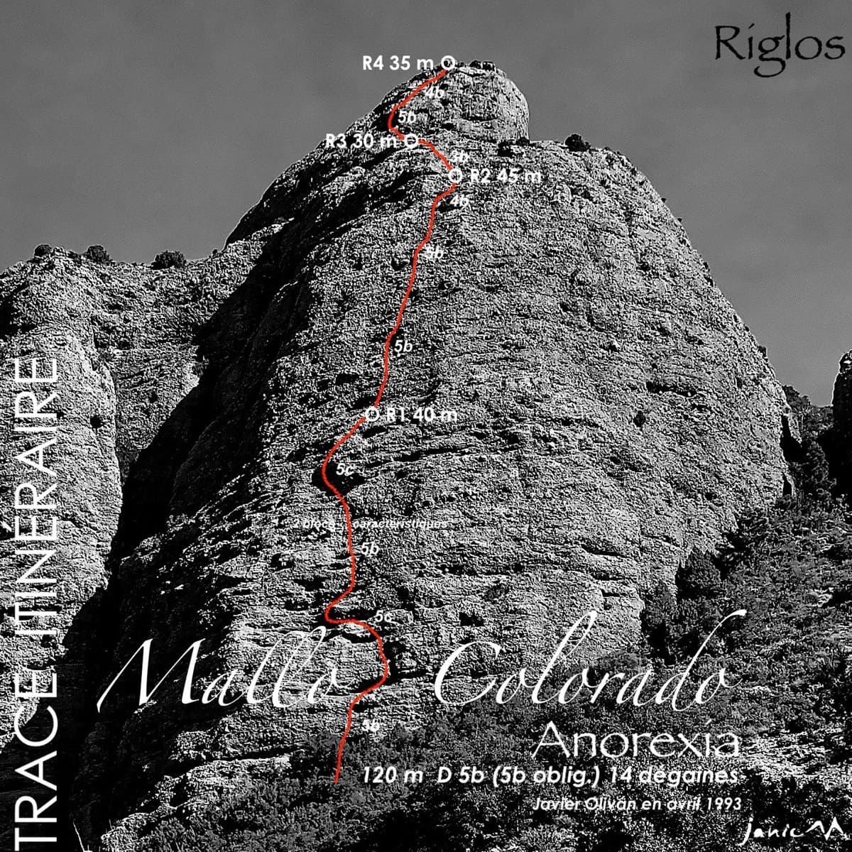
Spain · Riglos & Agüero (Mallos)
The best-known route on the Mallo Colorado. Two steep, juggy panza pitches have a well-protected boulder move, giving a short taste of real Riglos steepness at a friendly grade.
5c4 pitches150 m
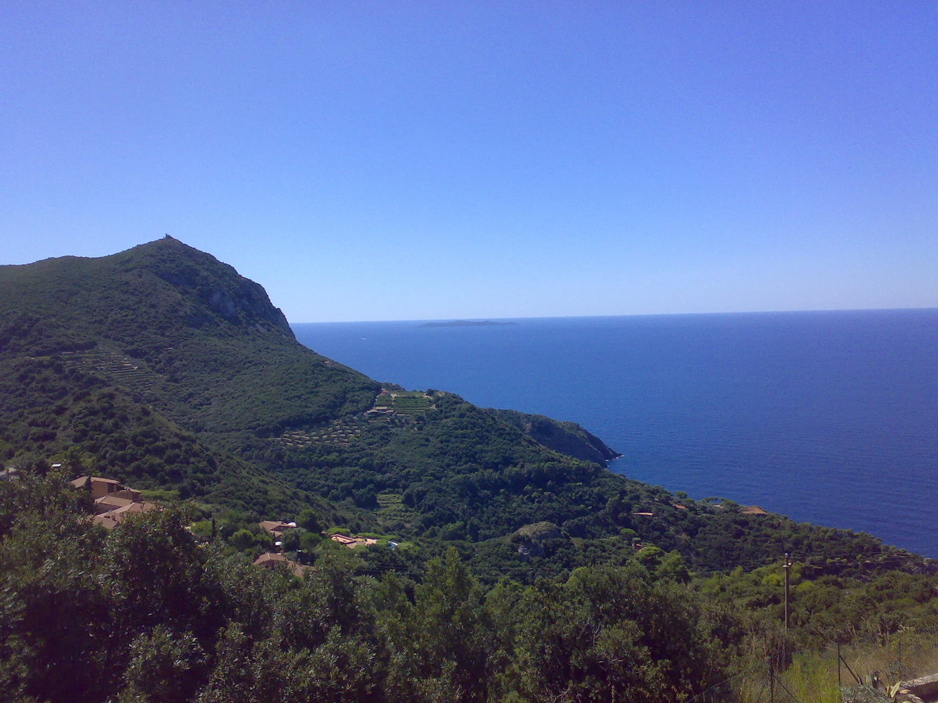
Italy · Monte Argentario
Four pitches on the sea-facing wall of Capo d'Uomo: a featured slab, an easy linking pitch, and two vertical, athletic pitches on sculpted grey limestone to the crest below the old watchtower. The final wall is the highlight. The lower pitches need care with holds.
5c4 pitches110 m
Read the cautions
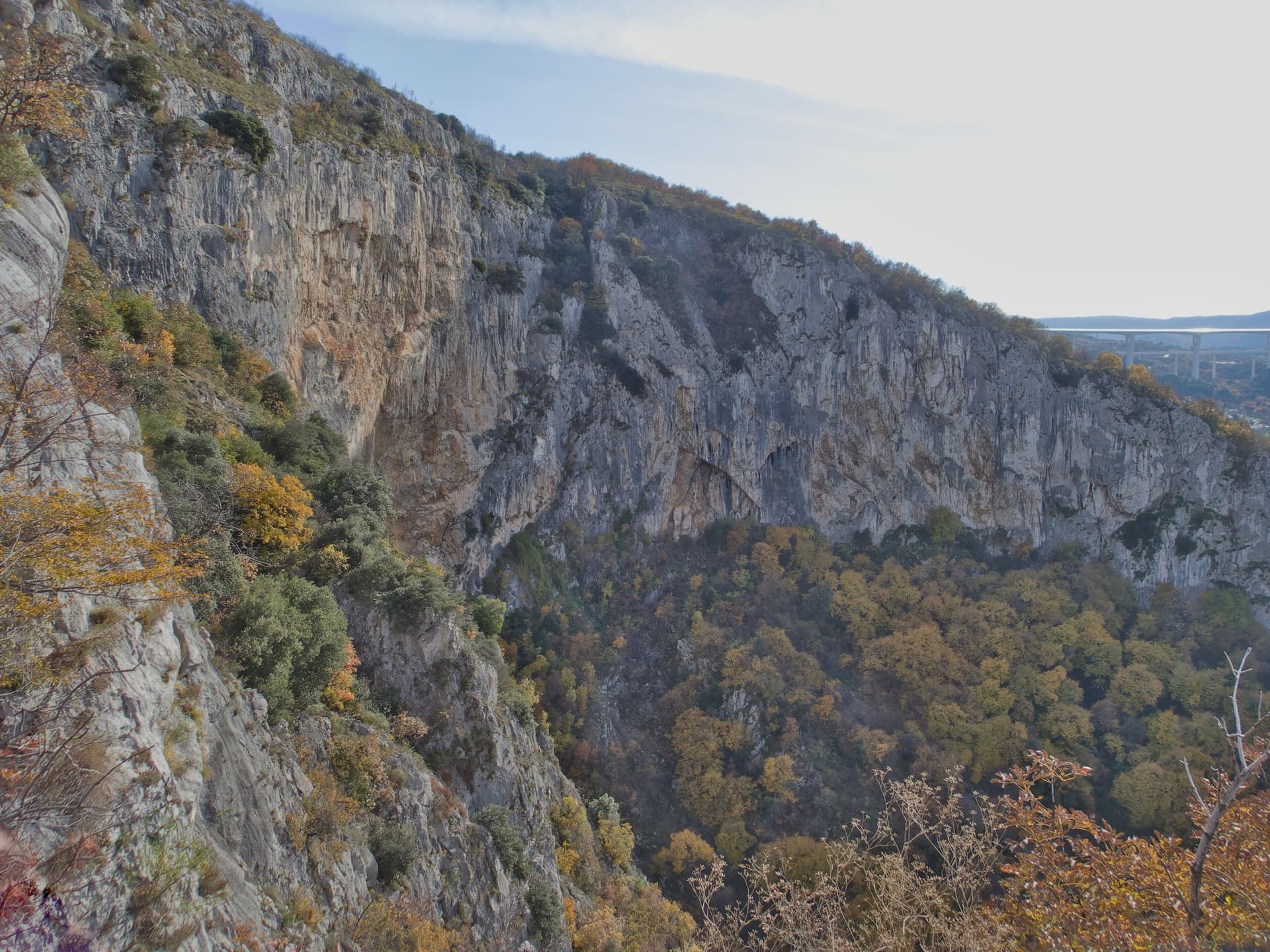
Slovenia · Osp
The easiest line on Osp's famous overhanging Big Wall, following an obvious right-slanting ramp, the only non-overhanging part of the face. It is in shade until about 11:30 in July.
5c4 pitches110 m
Read the cautions
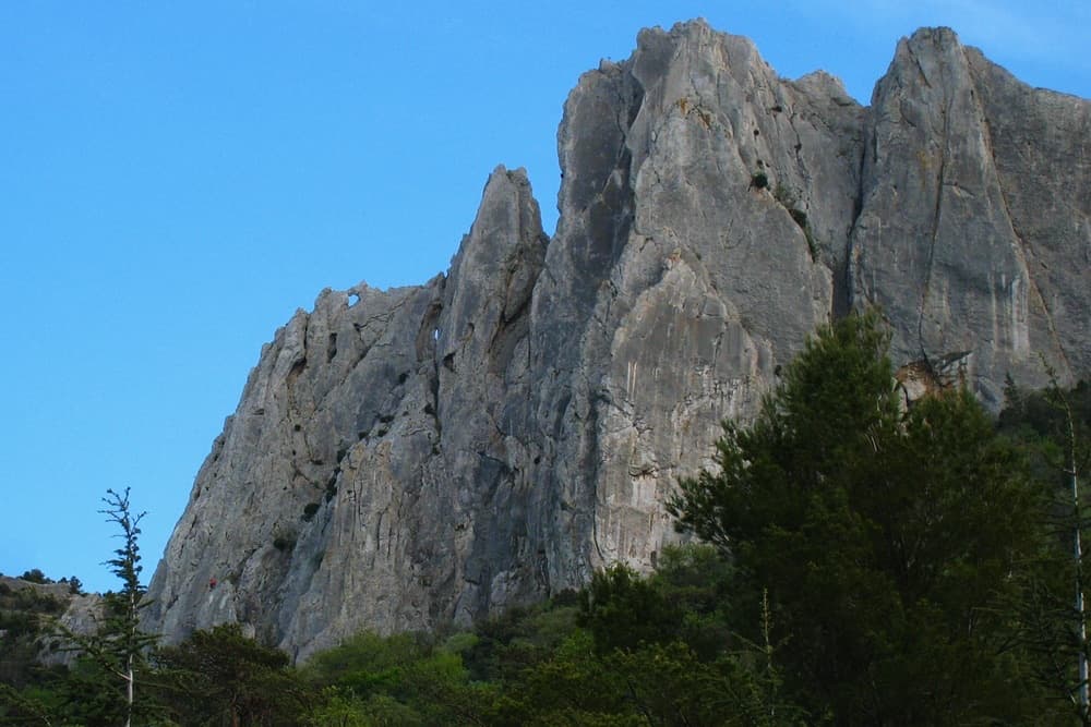
France · Dentelles de Montmirail
A short, generously bolted beginner's multipitch on the north face of the Gigondas chain: an easy corner, a fine vertical wall, a rising traverse, and then a squeeze through a natural window in the crest to finish on the sunny south side. Polished from traffic but full of character, and done in an hour or so.
5b4 pitches65 m
Compiled from published sources and last verified October 2026. Bolts, anchors and access change. Climbing is dangerous and you are responsible for your own decisions: check a current topo and read the disclaimer.