
Croatia · Omiš
Rambo
Omiš's signature moderate: long, slabby pitches on knobbly grey limestone with big views over the Cetina mouth and the Adriatic. The crux is a short crack on the final pitch.
6a6 pitches230 m
Kula – south face (Cetina canyon, Podašpilje) · Omiš · Croatia
Read the cautionsBail with caveatsBolting confidence: medium
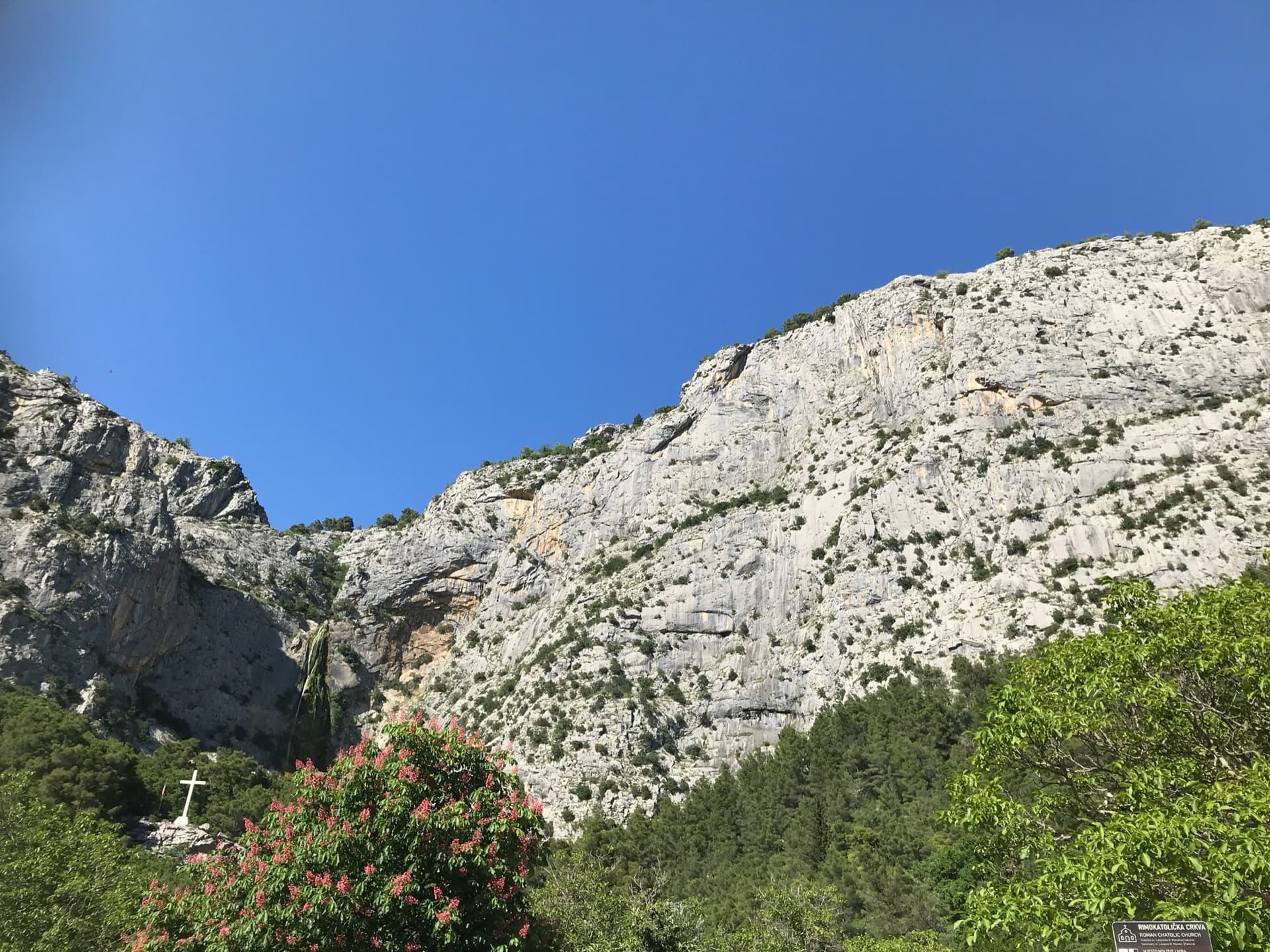
A 2024 line up the detached needle, nicknamed the Salami, on the south flank of Kula in the Cetina canyon behind Omiš. Five sustained pitches of 6b to 6c+ on excellent rock, split by a short walk across a ledge: crack-seamed slab, water grooves, an airy corner crack and steep technical wall climbing on the headwall. The obligatory grade is high.
Fully bolted with stainless hangers and chain belays, but the only description comes from a first ascensionist, the spacing is sporty in places and about 6c is obligatory.
The route
Pipeline takes an independent line through the Salami, a prominent needle on the south side of Kula above the Cetina canyon, a few kilometres inland from Omiš. It was put up in 2024 and is described by one of its authors as homogeneous, varied and on very good rock. The climbing is hard for the atlas: 6c+ on the first pitch and 6b to 6c above, with an obligatory grade of UIAA 7+ (about 6c), so you cannot pull through the cruxes. Only one source describes the route, and that source was written by a first ascensionist, so treat the detail as unconfirmed by repeat parties.
The climbing
| Pitch | Grade | Notes |
|---|---|---|
| P1 | 6c+ | A slab seamed with crack systems, then a powerful rock-over at the top of a wall of water grooves. The crux of the route. |
| P2 | walk | Walk up and slightly right across a flat, flowery ledge system to the start of the next pitch, which is marked by a sling. |
| P3 | 6c | Slightly right up the slab until the wall steepens, then up towards the prominent corner before the line branches left onto the tower. Technical, steep climbing to the belay under a small tree, with a run-out at the end. The niche above gives shade on hot days. |
| P4 | 6b | An excellent corner crack in an airy position. |
| P5 | 6c | Steep, technical wall climbing up the headwall of the tower, finishing on top of the needle at a flat spot the authors call the bivouac site. |
| P6 | 6b+ | A steep bouldery start, then enjoyable, flowing climbing up the back of Kula to the top. |
Getting there
From Omiš drive up the Cetina canyon. A few metres after the Kaštil Slanica restaurant turn right up a side road, which climbs in hairpins to its high point at the small village of Podašpilje. Park there; space is very limited.
About 30 min. From Podašpilje follow the signed path south-west towards Stupine. After about 300 m turn right onto an old path marked by a cairn and follow it for about 500 m until you leave the wood and cross a scree gully. Shortly after, you reach a second scree gully. About 100 m beyond it a path marked with cairns branches right and leads to the wall. bergsteigen.com gives the start at about 150 m above sea level and the village at 250 m, so expect to regain height on the way back.
Loading map
The point marks the base of the route.
Parking
Parking in Podašpilje (bergsteigen.com map marker); very limited space
Point from bergsteigen.com start marker ('Einstieg')
Contains the route point and parking. Opens in most mapping apps and GPS watches.
Points are compiled from published sources, with the precision stated above. They were not surveyed on the ground: check them against a current topo.
Coordinates: 43.42931, 16.73725 (route base) · Parking: 43.43192, 16.75359
Getting down
Abseil the route from the chain belays; this is the first option the source gives. The alternative is described as laborious: cross the plateau to the summit of Kula and follow the hiking path from there back towards the start. Allow about 1 hour.
Retreat
Bail with caveats
Abseiling the route from its chain belays is the descent the source lists first, so retreat should be possible from any belay. The caveats are that pitch 2 is a walk across a ledge, which you have to reverse on foot, and that no pitch lengths are published.
Partly inferred from the route facts
Safety
Sun and weather
South facing and low, so this is a route for the cooler months: bergsteigen.com marks February to April and September to November. In warm weather the niche above the pitch 3 belay is the only shade mentioned.
Sun on the wall · S-facing
Working out the sunlit hours for this month.
Sun on the wallDaylight, wall in shade● Usual season
Estimated from the wall's aspect only. Ignores surrounding terrain, gullies and the wall's exact shape. Clock times are local to the wall (Central European time), for the 15th of each month.
| Measure | Jan | Feb (usual season) | Mar (usual season) | Apr (usual season) | May | Jun | Jul | Aug | Sep (usual season) | Oct (usual season) | Nov (usual season) | Dec |
|---|---|---|---|---|---|---|---|---|---|---|---|---|
| Mean daily high °C | 8 | 9 | 12 | 15 | 19 | 24 | 27 | 27 | 22 | 18 | 13 | 9 |
| Mean daily low °C | 1 | 2 | 4 | 8 | 12 | 16 | 18 | 19 | 15 | 11 | 7 | 3 |
| Rain days 1 mm or more | 11 | 10 | 10 | 12 | 10 | 7 | 5 | 5 | 8 | 11 | 13 | 12 |
● marks the usual climbing season. Averages for 1991-2020 at about 333 m. Area climate from Open-Meteo reanalysis. Temperatures are adjusted to the height of the crag; rain comes from a grid cell of about 10 to 25 km, and summer highs on sea cliffs can read a few degrees low. The wall and valley can differ. Data: Open-Meteo, CC BY 4.0.
What to carry
12 quickdraws and two 60 m ropes (bergsteigen.com). No cams or nuts are listed. Helmet.
Derived from the route data; check it against a current topo
From climbers
Reader reports are not being collected yet. Until they are, check a current topo and the local club or guidebook publisher for recent changes to Pipeline.
Worth knowing
Open questions
Provenance
Same area
Croatia · Omiš
Omiš's signature moderate: long, slabby pitches on knobbly grey limestone with big views over the Cetina mouth and the Adriatic. The crux is a short crack on the final pitch.
6a6 pitches230 m
Croatia · Omiš
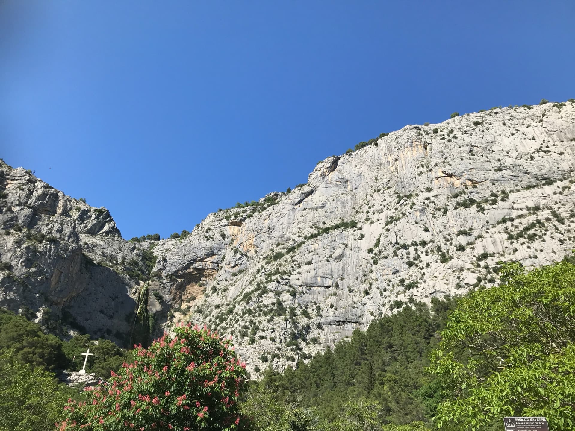
A long, varied line of slabs, corners and ledgy traverses up the middle of Ilinac. MP and plezanje.net count the pitches differently (7 vs 8) because they split the short easy top pitches differently.
6b8 pitches235 m
Read the cautions
Croatia · Omiš
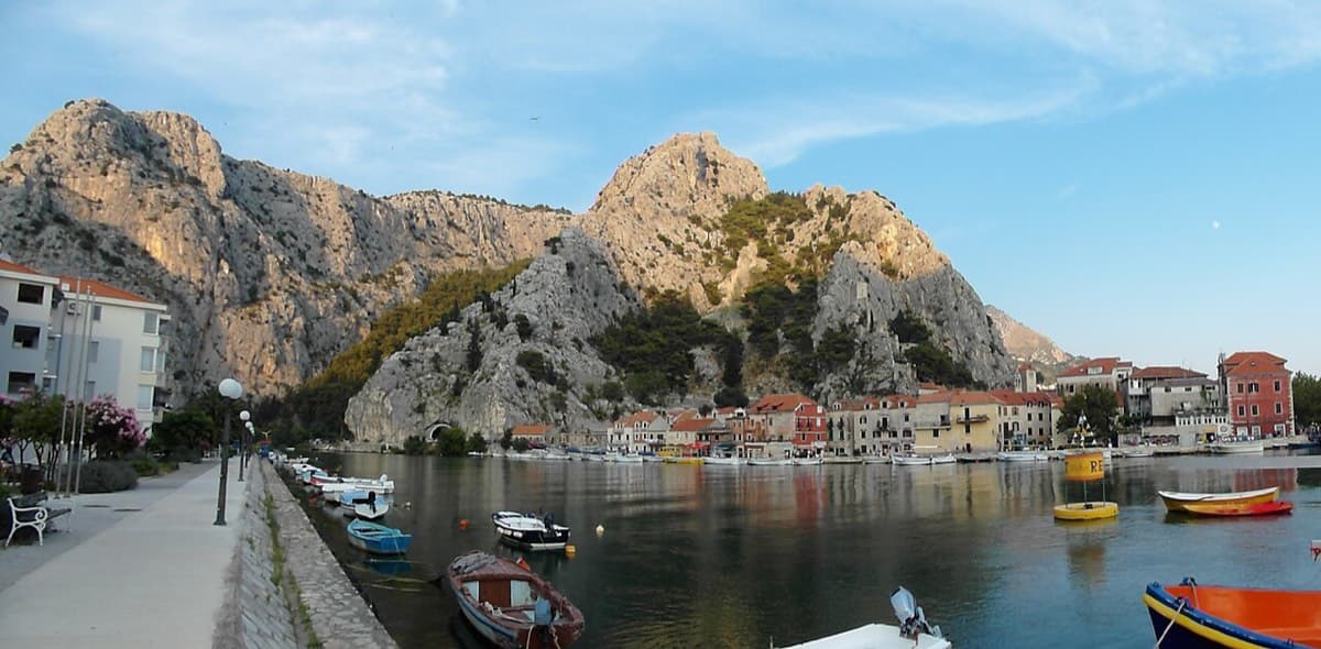
Sharp, coral-like rock mixing slab and steep juggy walls, finishing up a crack system. It has the best views in Omiš, over the sea, the river and the old town.
6a+5 pitches200 m
Read the cautions
Croatia · Omiš
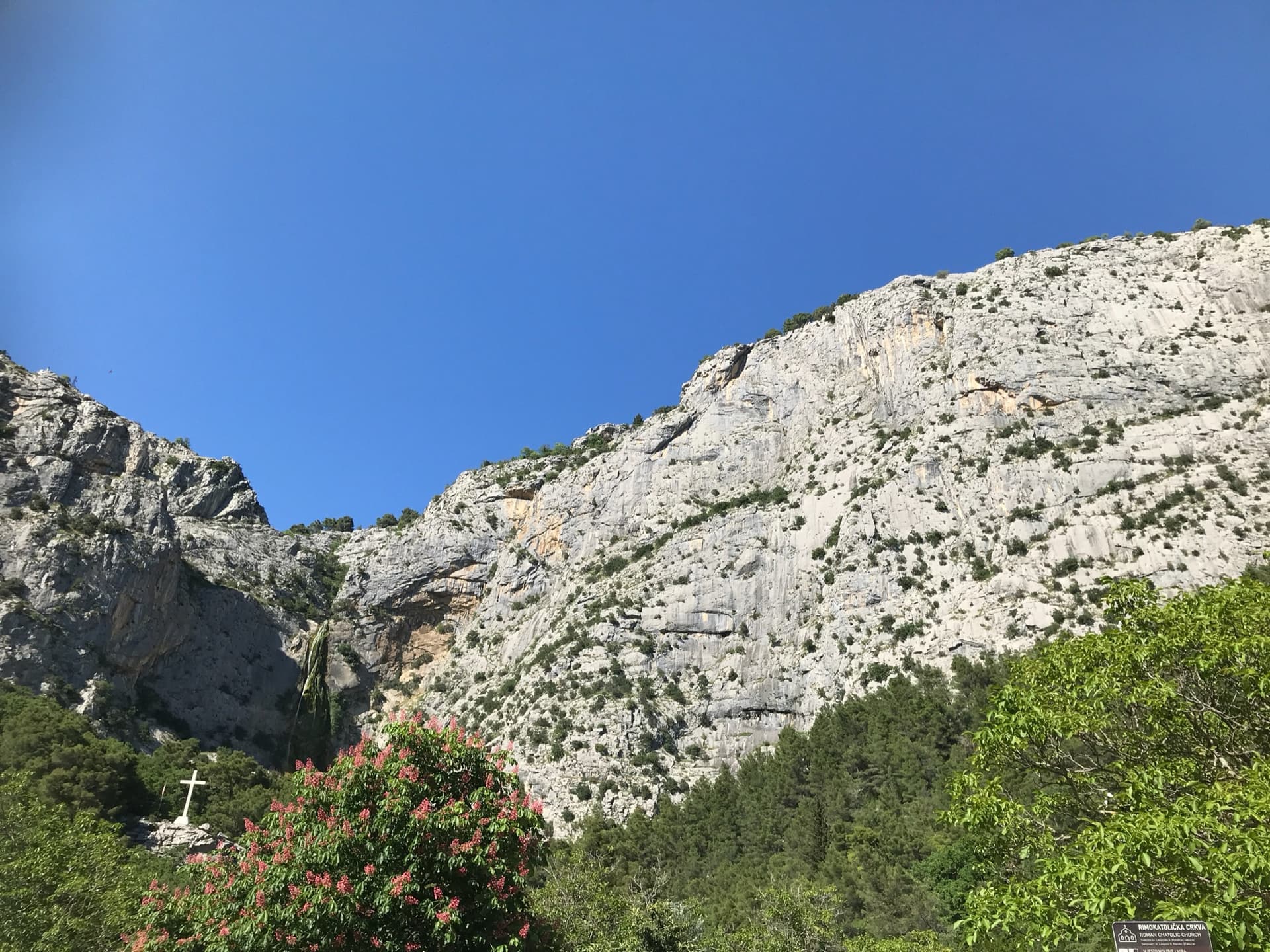
An easy, friendly route up a small tower and the ribs above it, on rock covered in knobs and warts. It is one of the very few bolted multipitch routes at this grade around Omiš and was put up with beginners in mind. The second belay touches the path, so you can walk off half-way.
5b+4 pitches130 m
Around 6c+ · about 6 pitches
Croatia · Paklenica
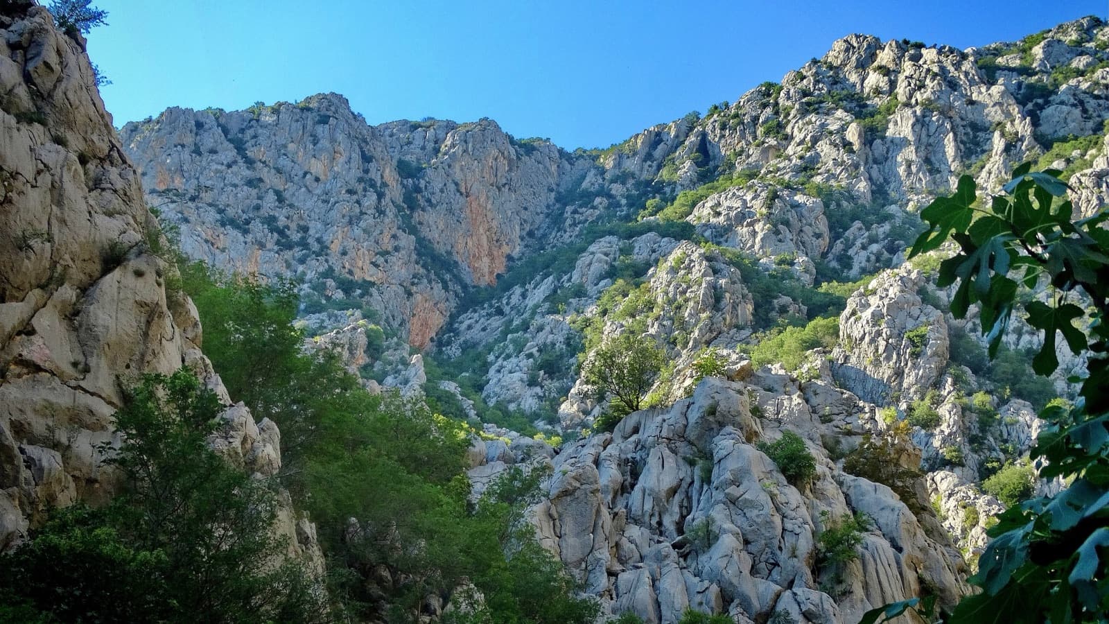
The line used for Paklenica's annual Big Wall Speed Climbing competition: steep, direct and on very rough rock that has stayed unpolished. A sustained 45 m 6c+ pitch on small holds is the crux, followed by sharp runnels, a big corner and three overhangs to finish. Fifteen minutes from the car.
6c+6 pitches200 m
Spain · Costa Blanca (Peñón de Ifach)
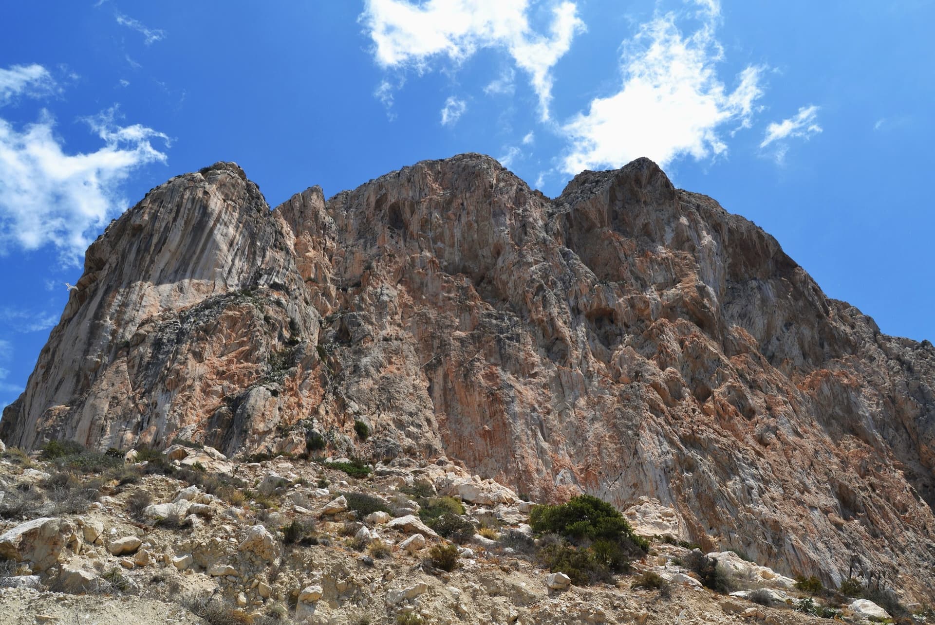
The sport classic of the Peñón: a thin slab, a corner crack that steepens into an overhang, a pillar, then a wild exit from a big cave 200 m above the sea. Sustained at 6b with a 6c fifth pitch on polished slopers and a 6c+ last pitch whose crux can be pulled through on a bolt.
6c+7 pitches220 m
Morocco · Taghia
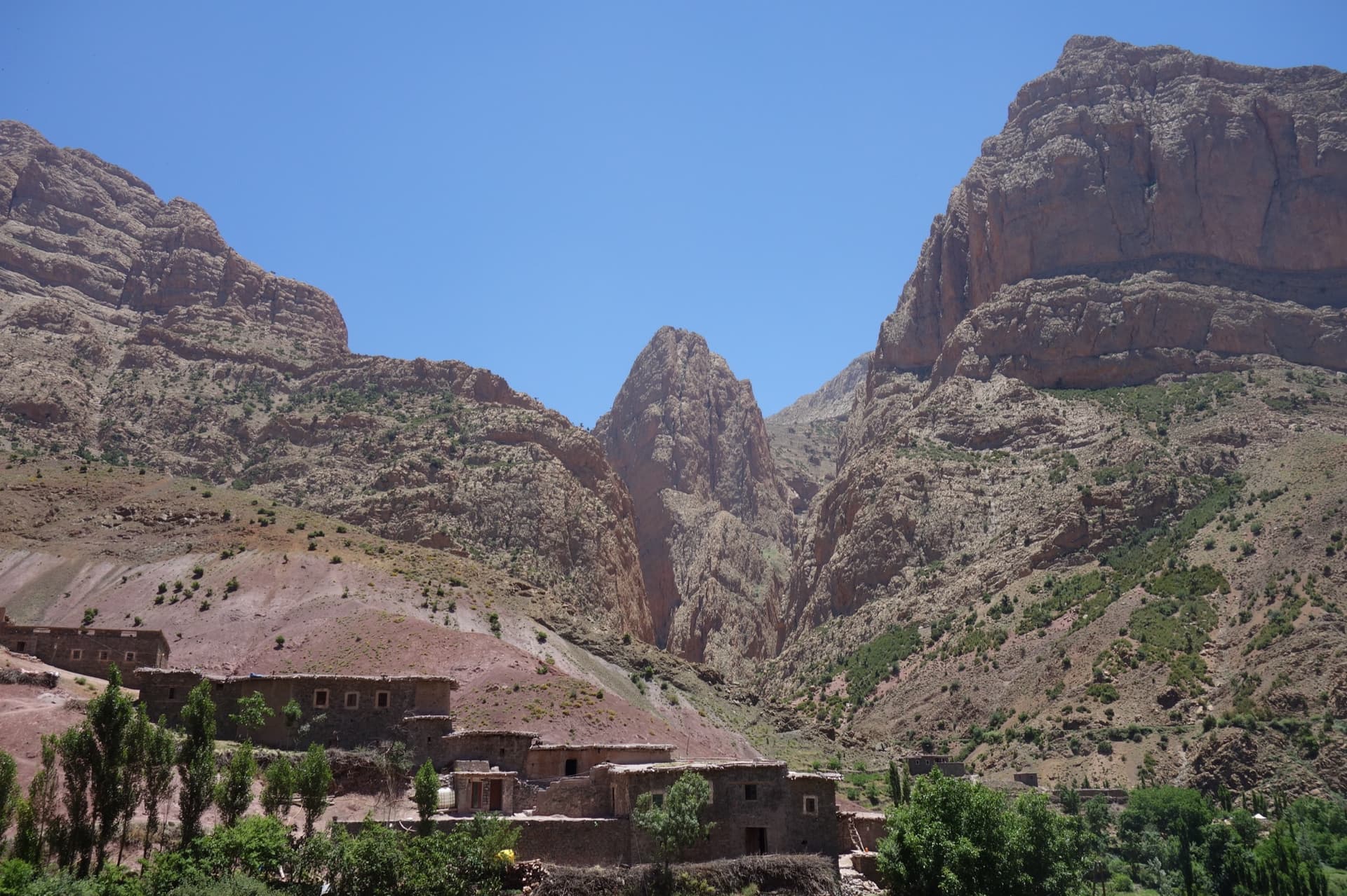
Five pitches on new, very rough red rock just right of Au nom de la Réforme. The first three are steep, fingery and continuous with one short crux each; the last two are much easier. The original grades are 7a+, 7a and 6c+, now widely thought generous, and the cruxes are bolted closely enough to pull through.
6c+5 pitches200 m
France · Verdon
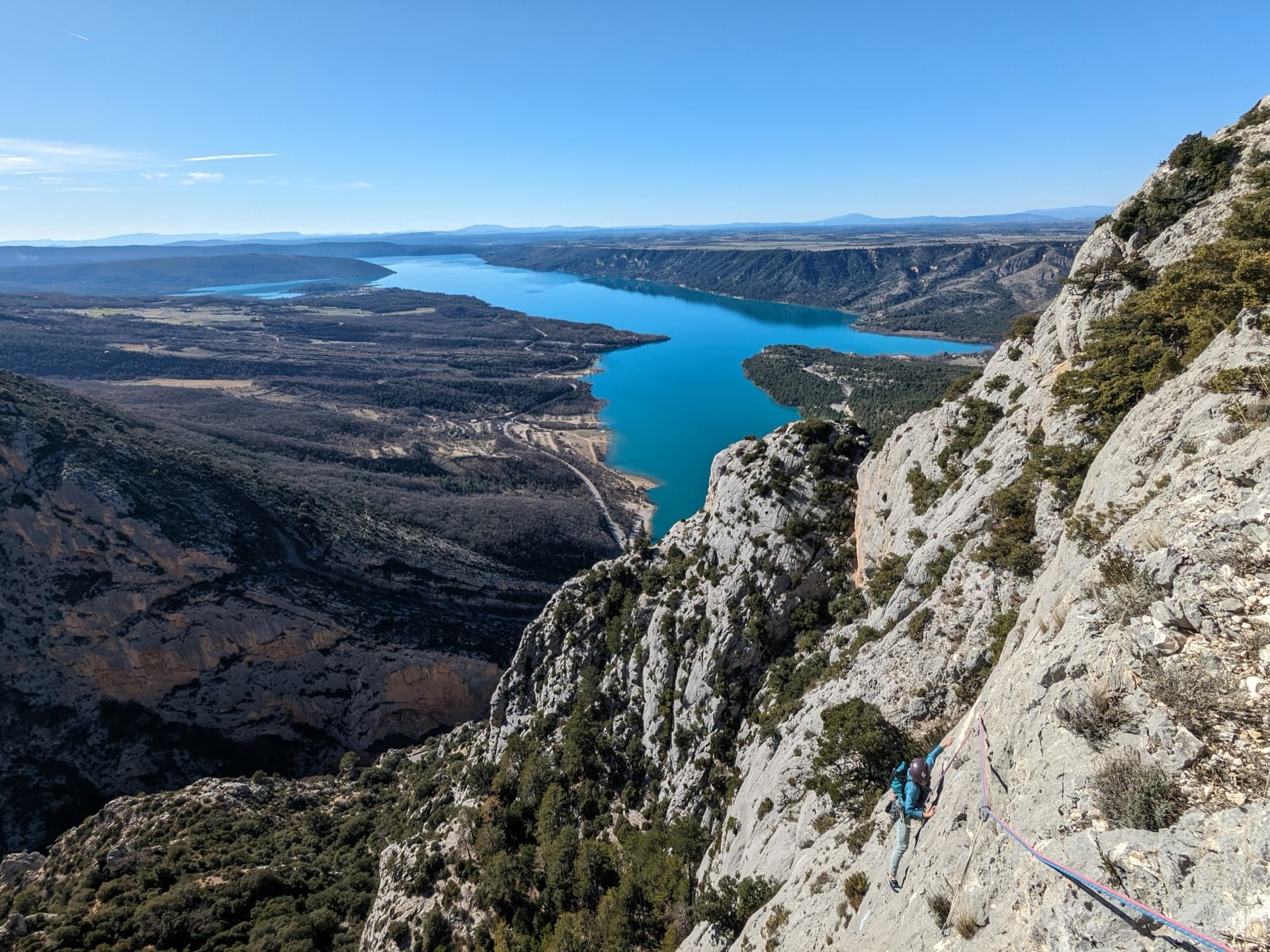
Seven pitches of compact grey water-pocketed wall high above the mouth of the Verdon gorge, with a view over the Lac de Sainte-Croix. It zigzags a great deal, so both leader and second need to be happy on traverses. A short, bouldery 6c+ bulge (6a/A0) is the only move above 6b+, and the final pillar pitch is the highlight.
6c+7 pitches160 m
Committing
Compiled from published sources and last verified October 2026. Bolts, anchors and access change. Climbing is dangerous and you are responsible for your own decisions: check a current topo and read the disclaimer.