Multipitch Atlas

Los Balcones de Anayet

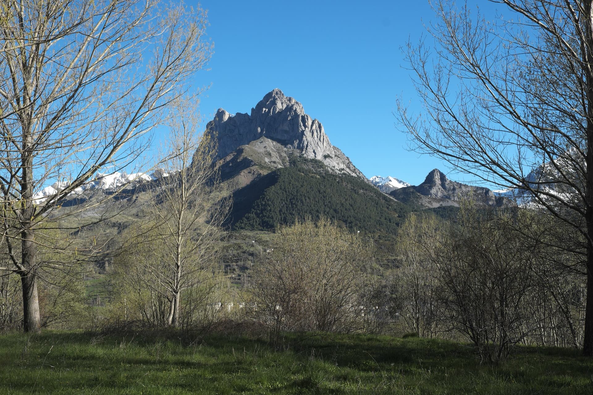
Pico de Anayet east face, Formigal · Aragonese Pyrenees (Tena & Canfranc valleys) · Spain

Read the cautionsBail with caveatsBolting confidence: high

A long, easy mountain route to a 2545 m summit above the Anayet lakes, on the dark volcanic rock of an old volcanic plug. Mostly 4c to 5a with one fine 5c corner on pitch 4; the lower half has broken rock and grassy channels, the upper 'balconies' are better. The day is long: two hours in, a via ferrata step on the approach and two hours out.

The east face of Pico de Anayet with the line and belays of Los Balcones de AnayetPhoto: janic · CC BY-SA 3.0

Topo

The east face of Pico de Anayet with the line and belays of Los Balcones de AnayetPhoto: janic · CC BY-SA 3.0
Hardest pitch
5c
Pitches
12
Length
350 m
Approach
120 min
Aspect
E
East-facing
Rope
1×50 m
walk-off
Read before you go

Well bolted and easy, but the bolts are 8 mm, the lower rock is fractured andesite, one ridge belay is on a sling and the whole day is long and high.

The route

Overview

Los Balcones de Anayet climbs the east face of Pico de Anayet (2545 m) straight to the summit, in view of the Anayet lakes for the whole day. The climbing is moderate and easy to follow, 4c to 5a on most pitches, with the crux in a three-sided corner on pitch 4 where the 5c is obligatory. The rock is andesite: fractured and sometimes grassy in the first six pitches, more solid on the upper ledges that give the route its name. It is a popular outing, and several parties on a summer weekend are normal. Treat it as a mountain day, not a crag route: the approach, the climb and the descent add up to nine to twelve hours for most parties.

The climbing

Pitch by pitch

Pitches of Los Balcones de Anayet
PitchGradeLengthBoltsNotes
P15a35 m9 boltsA sustained first pitch up the plinth in one push; the holds tend to slope downwards.
P24c20 m6 boltsA channel of fractured rock to the belay. camptocamp counts pitches 2 and 3 as one 45 m pitch with an intermediate belay on the left (7 bolts and a peg in total).
P33c25 m2 boltsA grassy gully: first a horizontal traverse, then a low-angle chimney. Two bolts and a peg.
P45c25 m8 boltsThe crux: a fine three-sided corner with obligatory 5c climbing. Eight bolts and a peg; a 2022 party that missed the peg found the third point a little far, while a 2016 party calls the pitch slightly committing but very well protected.
P53c25 m4 boltsAnother more or less grassy channel in line with the last pitch.
P65a35 m10 boltsLeave the belay well to the left up a vertical wall of fractured rock (5a), then stepped slabs to the edge of the spur.
P74b35 m6 boltsAn easy-angled slab with one thinner move in the middle. Six bolts and a thread. camptocamp gives 4a.
P84c35 m8 boltsSlab, a short wall, then steps. Eight bolts and three threads. camptocamp gives 40 m.
P95a35 m8 bolts4c climbing with a harder finish. Eight bolts and two threads. camptocamp gives 5b; the 2022 party gives 5a.
P104c25 m–Up to the summit ridge. The belay on the ridge is built on a sling (take slings). From here you can escape left to the normal route. camptocamp counts 11 bolts for pitches 10 and 11 together.
P113b20 m–Easy ground along the ridge.
P124c35 m–Along the crest, which steepens into fractured rock, to a belay a few steps from the summit. camptocamp gives grade 4, 45 m and 4 bolts; the 2022 party counted 8 bolts for pitches 11 and 12 together.

Getting there

Approach

To the parking

The route is reached from the Formigal ski area above Sallent de Gállego in the Tena valley (A-136 towards the Portalet pass). Parties in 2016 and 2022 found the road to the upper Anayet car park closed to cars and left the car at Corral de las Mulas (1625 m) beside the A-136, adding a few kilometres of tarmac (one party cycled it in 17 minutes). The openers suggest starting instead from the Portalet car park, going by Espelunciecha and the Canal Roya col.

On foot · about 120 min

About 2 h; allow up to 3 h if you walk the closed road. From the upper Formigal car park follow the track to the Puerto de Canal Roya, follow the crest for about 150 m and drop onto the west side, traversing on a cairned path towards the Anayet waterfalls. A short via ferrata climbs the rock step onto the plateau of the Anayet lakes (a 2017 party says to look for a red plastic plate marking it). Cross the plateau past the automatic weather station to the path that climbs to Anayet from Canal Roya. Leave it at about 2150 m and cross scree to the face, about 50 m left of the Couloir des Français. The alternative is the GR 11 from Formigal straight to the lakes. The start is where the reddish and grey rock meet and is marked with a large blue disc.

Map of the walk-in

  • Crag
  • Parking

Loading map

The point marks the crag, not the exact start of the route.

Coordinates · crag

42.78160, -0.45486

Parking

42.76479, -0.39436

Formigal, Sarrios sector (camptocamp access waypoint 131638). In summer the road above Corral de las Mulas on the A-136 has been reported closed to cars.

Point from camptocamp waypoint 178515 (Pico de Anayet summit); the route's own camptocamp point is a midpoint and was not used

For your phone or watch

Download GPX

Contains the route point and parking. Opens in most mapping apps and GPS watches.

Points are compiled from published sources, with the precision stated above. They were not surveyed on the ground: check them against a current topo.

Getting down

Descent

On foot by the normal route of Pico de Anayet: down a grassy gully on the east side, then a horizontal traverse to a section with chains, and the path to the col (2404 m) between the Pico and the Vértice de Anayet. From there descend to the Anayet lakes and reverse the approach, or cross the plateau on the GR 11 and take the blue-and-white marked path that traverses north-east from the top of the Culivillas ravine back towards the ski area. Parties report 2 h to 2 h 30 back to the car.

Retreat

Bailing off the route

Bail with caveats

The only retreat the sources describe is high up: where pitch 10 reaches the summit ridge you can escape left to the normal route. Lower down nobody reports abseiling, but every belay has 10 mm bolts and no pitch is longer than 35 m, so a 50 m rope would get you down belay to belay if you leave gear.

Retreat from
Any belay by abseil (inferred); the ridge after pitch 10 on foot (stated)
Point of no return
None stated
Carry
A 50 m rope and maillons or slings to leave at the belays
Basis
Part stated, part inferredThe ridge escape is stated on camptocamp. Abseiling from the lower belays is inferred from the belay bolts and pitch lengths; no source says the belays are rigged for it.

Partly inferred from the route facts

Safety

Hazards

  • The rock is andesite and of middling quality in the lower half, with loose stones on the easy grassy pitches. Heavy traffic has cleaned the line, but stay alert all the way to the top and do not climb directly below another party.
  • The bolts on the pitches are 8 mm and date from 2010.
  • A long day at altitude with no quick way down from the upper pitches until the ridge: avoid afternoon thunderstorms.
  • The descent by the normal route has an exposed traverse protected by chains.
  • Popular: 7 or 8 parties were on it on an August Saturday in 2017.

Sun and weather

Conditions

East face: sun in the morning, shade in the afternoon. The base is at about 2200 m and the summit at 2545 m, so this is a high-summer route; a party on 3 July 2016 still found a small snow patch at the foot of the wall, a few metres short of the start. A seep below the pitch 4 corner did not get in the way in August 2022. It can be cool in a north wind even in August.

Usual season · Jul to Sep

Sun on the wall · E-facing

Working out the sunlit hours for this month.

  • January: not yet worked out
  • February: not yet worked out
  • March: not yet worked out
  • April: not yet worked out
  • May: not yet worked out
  • June: not yet worked out
  • July (usual season): not yet worked out
  • August (usual season): not yet worked out
  • September (usual season): not yet worked out
  • October: not yet worked out
  • November: not yet worked out
  • December: not yet worked out

Sun on the wallDaylight, wall in shade● Usual season

Estimated from the wall's aspect only. Ignores surrounding terrain, gullies and the wall's exact shape. Clock times are local to the wall (Central European time), for the 15th of each month.

Monthly climate averages for Aragonese Pyrenees (Tena & Canfranc valleys), 1991-2020
MeasureJanFebMarAprMayJunJul (usual season)Aug (usual season)Sep (usual season)OctNovDec
Mean daily high °C447914192222171375
Mean daily low °C−3−3−11591112850−2
Rain days 1 mm or more141314181816141413141413

● marks the usual climbing season. Averages for 1991-2020 at about 1564 m. Area climate from Open-Meteo reanalysis. Temperatures are adjusted to the height of the crag; rain comes from a grid cell of about 10 to 25 km, and summer highs on sea cliffs can read a few degrees low. The wall and valley can differ. Data: Open-Meteo, CC BY 4.0.

What to carry

Gear

12 quickdraws, a 50 m rope and a few slings (for threads and for the ridge belay). Helmet. Via ferrata lanyards are not mentioned by any source for the short ferrata step on the approach.

Checklist

Quickdraws
12
Rope
1×50 m (walk-off)
Helmet
One each
Slings
Mentioned for retreat
Maillons or spare karabiners
To leave behind if you retreat

Derived from the route data; check it against a current topo

From climbers

Reader reports

Reader reports are not being collected yet. Until they are, check a current topo and the local club or guidebook publisher for recent changes to Los Balcones de Anayet.

Worth knowing

Tips

  • Allow 3 to 5 hours for the climb; a 2022 party took 3 h 06 with only four parties on the route.
  • A 2017 party says the neighbouring route Sueño de Verano is about as good and less busy: take both topos and choose at the foot of the wall.
  • The same party found the approach by Canal Roya quicker than expected: from the top of the track aim for the red hut, then bear left to the ferrata.
  • The Anayet lakes on the way back are a good place to swim.

Open questions

Where sources disagree

  • Pitch count: camptocamp's table has 12 pitches but groups 2-3 and 10-11; the camptocamp photo-topo and a 2022 party list 12 belays, and that party climbed it as 10 pitches by linking. The pitch table here follows the 2022 report and the photo-topo.
  • Grades differ slightly between camptocamp (pitch 7 at 4a, pitch 9 at 5b, last pitch grade 4) and the 2022 party (4b, 5a, 4c).
  • The openers call the crux corner 'pitch 4'; a 2016 party calls the same corner 'L3' because they counted the first easy pitches together.
  • Approach time: 1 h 40 (2022, after cycling the road), 2 h (2017) and 3 h (2016, on foot from the road).

Provenance

Sources

Same area

More in Aragonese Pyrenees (Tena & Canfranc valleys)

All routes in Aragonese Pyrenees (Tena & Canfranc valleys)
The twin limestone summits of Peña Foratata above the forest, seen from Sallent de Gállego in spring.

Spain · Aragonese Pyrenees (Tena & Canfranc valleys)

La Joya del Gállego

Varied, sustained limestone of chimneys, dihedrals and compact fluted slabs high above the Tena valley. Bearded-vulture nesting closes the face from 1 Dec to 31 Jul unless lifted early, so check montanaregulada.org.

6a+10 pitches265 m

Read the cautions
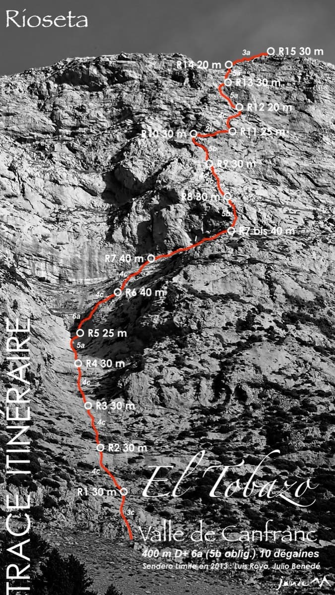
Topo of Valle de Canfranc on the south face of El Tobazo

Spain · Aragonese Pyrenees (Tena & Canfranc valleys)

Valle de Canfranc

A long, mostly easy slab-and-dihedral route with a single 6a slab on pitch 6, in a fine setting facing away from Candanchú. Wait about 30 h after rain because the lower gully drains water.

6a15 pitches400 m

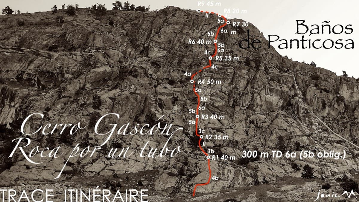
Topo of Roca por un Tubo, Pared de la Tubería (Cerro Gascón), Baños de Panticosa

Spain · Aragonese Pyrenees (Tena & Canfranc valleys)

Roca por un Tubo

High-mountain granite slabs and dihedrals above the Panticosa spa. Three 6a cruxes mix friction slab with a short flaky roof on pitch 7.

6a9 pitches300 m

Read the cautions

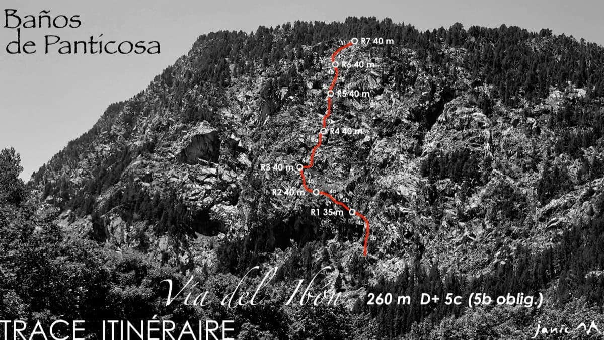
The Pared del Ibón above Baños de Panticosa with the line and belays of Vía del Ibón

Spain · Aragonese Pyrenees (Tena & Canfranc valleys)

Vía del Ibón

A mountain-style line on dark, weathered granite twenty-five minutes above the spa of Baños de Panticosa. It links ramps, a short overhanging break, slabs and a rounded boulder, with one well-bolted 5c move and the rest 4b to 5b. The rock between the good sections is earthy and lichenous, but the friction is excellent and the bolting generous.

5c7 pitches260 m

Around 5c · about 12 pitches

Similar elsewhere

The Palavar slabs above Ailefroide; Palavar-les-Flots follows the leaning pillar on the left

France · Ailefroide

Palavar-les-Flots

Ailefroide's best-known easy long route: a consistent run of 4th-grade slab and pillar climbing with two harder steps (5b+ on L4, a 5c friction move on L8). It is very popular, so start early.

5c12 pitches310 m

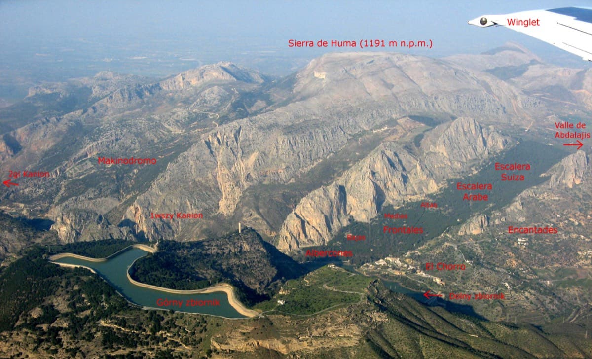
Annotated aerial view of El Chorro showing Frontales, Escalera Árabe and Escalera Suiza (labels in Polish)

Spain · El Chorro

Blue Line

The longest easy line in El Chorro. It starts up a broken corner-ramp, then climbs a steeper wall trending right to the top. It's uncommitting and easy to link pitches, with some loose rock to watch for.

5c12 pitches310 m

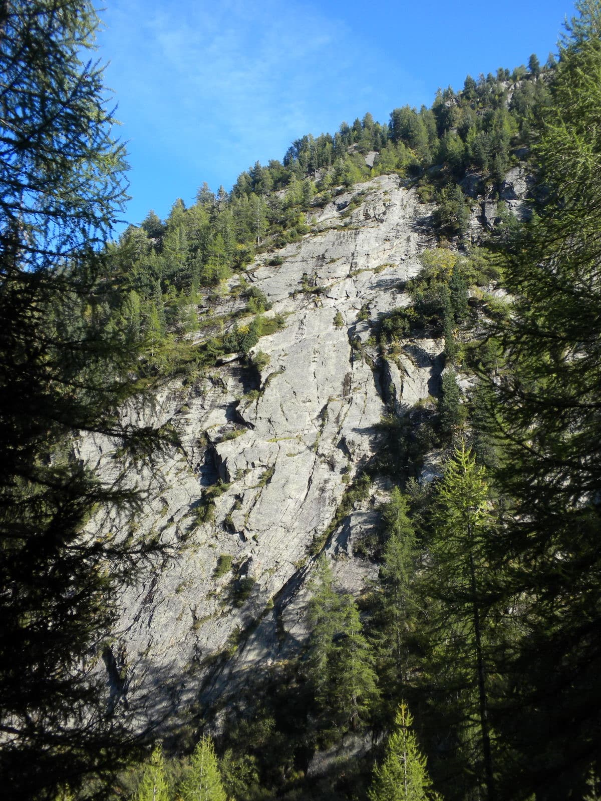
The slab of L'île aux Razmokets in the Vallon de Bérard, seen through the larches from the valley path; the line is not marked.

France · Chamonix valley

L'île aux Razmokets

A long, friendly slab route in the quiet Vallon de Bérard: twelve pitches that follow a chain of cracks and flakes across a compact gneiss slab, with two sustained 5c pitches low down. It stays in the shade until about midday, which makes it a summer route, and it dries slowly. Many parties stop after pitch 7 or 8 and abseil.

5c12 pitches350 m

The narrows of the Todra Gorge in late afternoon light, a few minutes' walk upstream of the Mansour wall; a view of the gorge, not of this route's wall.

Morocco · Todra Gorge (Todgha)

Berbertraum

Thirteen short pitches, mostly grade 4, with two 5c steps. The longest pitch is 45 m. A big day of easy mileage in the sun above the palm grove.

5c13 pitches340 m

Compiled from published sources and last verified October 2026. Bolts, anchors and access change. Climbing is dangerous and you are responsible for your own decisions: check a current topo and read the disclaimer.