Multipitch Atlas

Dis-moi Céline

Tour de Famelon (Leysin) · Vaud Alps · Switzerland

Read the cautionsBail with caveatsBolting confidence: medium

A climbing way up the Tour de Famelon above Leysin: two pitches up a small pillar, a walk across grass, then three pitches on a compact south wall with runnels and thin moves. Short pitches, grassy links and a stiff 6a to finish, in a fine setting.

The Tour de Famelon above Leysin seen from the southPhoto: Zacharie Grossen · CC BY-SA 3.0

Photo

The Tour de Famelon above Leysin seen from the southPhoto: Zacharie Grossen · CC BY-SA 3.0
Hardest pitch
6a
Pitches
5
Length
m
Approach
40 min
Aspect
SE
South-east-facing
Rope
1×50 m
Read before you go

Sound bolts, but a ground-fall risk low on pitch 1, vague route finding between grass ledges and rotten belay cords.

The route

Overview

The Tour de Famelon (2143 m) is the northernmost of the three limestone towers above Leysin. Dis-moi Céline threads its south-east side in five pitches broken by a 30 m walk, so it is less a wall climb than a way of reaching the summit with your hands on rock. The first two pitches wander between grass ledges; the last three, on a compact south-facing wall, are the good ones, and the final 6a is widely felt to be nearer 6b. Regular ascents since 2018 make it one of the better-documented moderate routes around Leysin.

The climbing

Pitch by pitch

Pitches of Dis-moi Céline
PitchGradeNotes
P15aA pillar with good holds that vegetation is trying to fill, a grassy middle section, then a pleasant vertical slab before moving right of the edge a few metres below the belay. Bolts are missing low down: a ground fall is possible until the third bolt is clipped. Just possible on a 30 m rope.
P25bTraverse horizontally left from the belay along a grass ledge to a nice section of a few moves up a runnel. Where it turns to gardening, go well left (no bolt shows the way) to some vertical runnels; the belay is just above.
P35cBefore this pitch walk up about 30 m of grass with the rope in hand, then descend about 10 m to the left behind a big block and past a fir tree to a ledge under the south-facing wall (belay of two bolts and a ring). Then climb the compact wall above: a thin move 5 or 6 m up, a rising traverse left where the second needs to be steady because the crux comes just after a bolt, then easier ground leftwards. One flake sounds hollow.
P45cUp the compact wall above the belay, with the crux after the second bolt to traverse left, then easy to the belay; take care not to send stones onto your second. The correct belay is about 6 m to the right, past a small fir, not the first one you reach.
P56aThe hardest pitch: one difficult move on mediocre holds near the start, then quickly over. Parties in 2023 and 2025 thought it 6b or a hard 6a+.

Getting there

Approach

To the parking

From Leysin or Le Sépey a narrow alp road leads to the Crête du Fer (Les Fers, 1679 m), where there is a large car park by the restaurant; the road is open in summer only. Leysin is reached by rack railway from Aigle. One party came instead from the Lac de Mayen side with mountain bikes.

On foot · about 40 min

From the Chalet des Fers take the path towards the Tour de Famelon. At the junction below the south-west face take the right-hand path towards the Pierre du Moëllé. Keep on it as it passes onto the east side. Before it enters the zone of limestone pavement and big blocks, it passes below an area of small scree: there, climb the grassy combe (no path) to the rocks. The route starts on an indistinct pillar isolated in the grass, before the main east-face walls, with the name painted in red. 40 minutes. Parties say it does not look like the foot of a multipitch from below, and that the camptocamp GPS track helps.

Map of the walk-in

  • Crag
  • Parking

Loading map

The point marks the crag, not the exact start of the route.

Coordinates · crag

46.38322, 7.02365

Parking

46.37262, 7.03063

Crête du Fer (Les Fers), large car park by the restaurant (camptocamp access waypoint 1013118)

Point from camptocamp waypoint 37221 (Tour de Famelon summit)

For your phone or watch

Download GPX

Contains the route point and parking. Opens in most mapping apps and GPS watches.

Points are compiled from published sources, with the precision stated above. They were not surveyed on the ground: check them against a current topo.

Getting down

Descent

From the top follow the crest (traces of a path) to the summit of the Tour de Famelon, then take the hiking path back down to Les Fers.

Retreat

Bailing off the route

Bail with caveats

Each belay has two bolts and a ring, and the pitches are short, so you could abseil from the stances with a 50 m rope. The route is cut by grass ledges and a walking section, which means that from the foot of the upper wall you can also simply walk off across the grass. No source describes a retreat.

Retreat from
The first two belays by abseil; the ledge at the foot of the upper wall (start of pitch 3) on foot; the belays on the upper wall by abseil back to that ledge.
Point of no return
None documented.
Carry
A 50 m rope and cord to replace the rotten belay links.
Basis
Inferred from the route factsBelay hardware and the walking section are stated on camptocamp; the retreat options are inferred from them.

Partly inferred from the route facts

Safety

Hazards

  • A possible ground fall on pitch 1 before the third bolt, noted by five separate parties.
  • Route finding on pitch 2, where no bolt is visible at the point you must go left, and at the fourth belay, which is off to the right.
  • Loose stones on the ledges above your second, and one hollow flake on pitch 3.
  • The belay cords are rotten: link the two bolts yourself.
  • Greasy grass on the walking sections when wet.

Sun and weather

Conditions

South-east to south facing limestone topping out at 2137 m. The first pitch faces east and goes into shade early; the upper wall is in the sun. Parties have climbed it from June to mid-November in dry autumns. The grass and black peat on the linking ledges stay greasy after rain, and cloud and fog are common on the towers.

Usual season · Jun to Oct

Sun on the wall · SE-facing

Working out the sunlit hours for this month.

  • January: not yet worked out
  • February: not yet worked out
  • March: not yet worked out
  • April: not yet worked out
  • May: not yet worked out
  • June (usual season): not yet worked out
  • July (usual season): not yet worked out
  • August (usual season): not yet worked out
  • September (usual season): not yet worked out
  • October (usual season): not yet worked out
  • November: not yet worked out
  • December: not yet worked out

Sun on the wallDaylight, wall in shade● Usual season

Estimated from the wall's aspect only. Ignores surrounding terrain, gullies and the wall's exact shape. Clock times are local to the wall (Central European time), for the 15th of each month.

Monthly climate averages for Vaud Alps, 1991-2020
MeasureJanFebMarAprMayJun (usual season)Jul (usual season)Aug (usual season)Sep (usual season)Oct (usual season)NovDec
Mean daily high °C−6−4−126111313106−1−6
Mean daily low °C−15−14−10−7−32330−4−10−15
Rain days 1 mm or more131214141919191715131313

● marks the usual climbing season. Averages for 1991-2020 at about 2182 m. Area climate from Open-Meteo reanalysis. Temperatures are adjusted to the height of the crag; rain comes from a grid cell of about 10 to 25 km, and summer highs on sea cliffs can read a few degrees low. The wall and valley can differ. Data: Open-Meteo, CC BY 4.0.

What to carry

Gear

10 quickdraws and slings or cord to link the belays. Camptocamp says a 30 m rope is just enough for the first two pitches; a 50 m single rope is the practical choice. Helmet: loose stones lie on the ledges.

Checklist

Quickdraws
10
Rope
1×50 m
Helmet
One each
Cord
Mentioned for retreat

Derived from the route data; check it against a current topo

From climbers

Reader reports

Reader reports are not being collected yet. Until they are, check a current topo and the local club or guidebook publisher for recent changes to Dis-moi Céline.

Worth knowing

Tips

  • Allow about 3 to 3.5 hours for the route.
  • From the third belay, traverse right along the foot of the wall to the correct fourth belay rather than using the nearer one up and left; it reduces rope drag on the last pitch.
  • Do not underestimate the grades, especially the last pitch.
  • The restaurant at the Crête du Fer is at the car park.

Open questions

Where sources disagree

  • This route is documented in detail only on camptocamp (one route page and nine trip reports); no second independent site was found.
  • Grade of the last pitch: 6a in the topo; 6b or 6a++ according to parties in 2023 and 2025.
  • Pitch 3 is 'not hard for 5c' to a 2022 party and has a thin crux to others.
  • Equipment: 'like new' in 2022, 'correct, not too abundant' in 2025, 'rather well equipped but 5c obligatory' in 2020.
  • Length: no source gives a height or pitch lengths, so none is recorded.
  • Aspect: south-east in the route header; the first pitch faces east and the upper wall south.

Provenance

Sources

Same area

More in Vaud Alps

All routes in Vaud Alps
The Miroir d'Argentine above the larches of Solalex in evening light, cloud sitting on the ridge.

Switzerland · Vaud Alps

Remix

The bolted way up the Miroir d'Argentine: fourteen pitches of compact limestone slab, with the difficulties in the first four pitches and long, easy, run-out friction above. A big day out at a modest grade with a mountain walk-off. Do not underestimate it.

5c+14 pitches400 m

Read the cautions
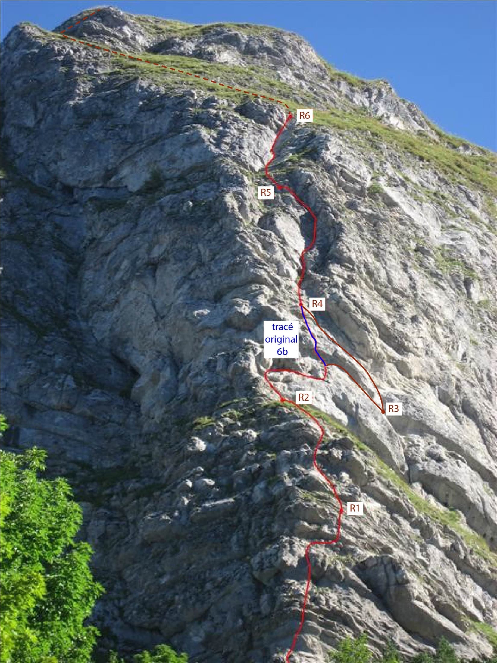
Photo-topo of Ace of Spades on the Dent de Jaman: the 2015 line in red, the original 6b variant in blue and the approximate summit exit dashed

Switzerland · Vaud Alps

Ace of Spades

Six short pitches up the west edge of the pillar on the Dent de Jaman, the limestone tooth above Montreux, with Lake Geneva at your back. Slopers low down, a delicate traverse, then a fine slab and two good corner pitches. Hugely popular, a short walk from a mountain railway halt.

5c6 pitches120 m

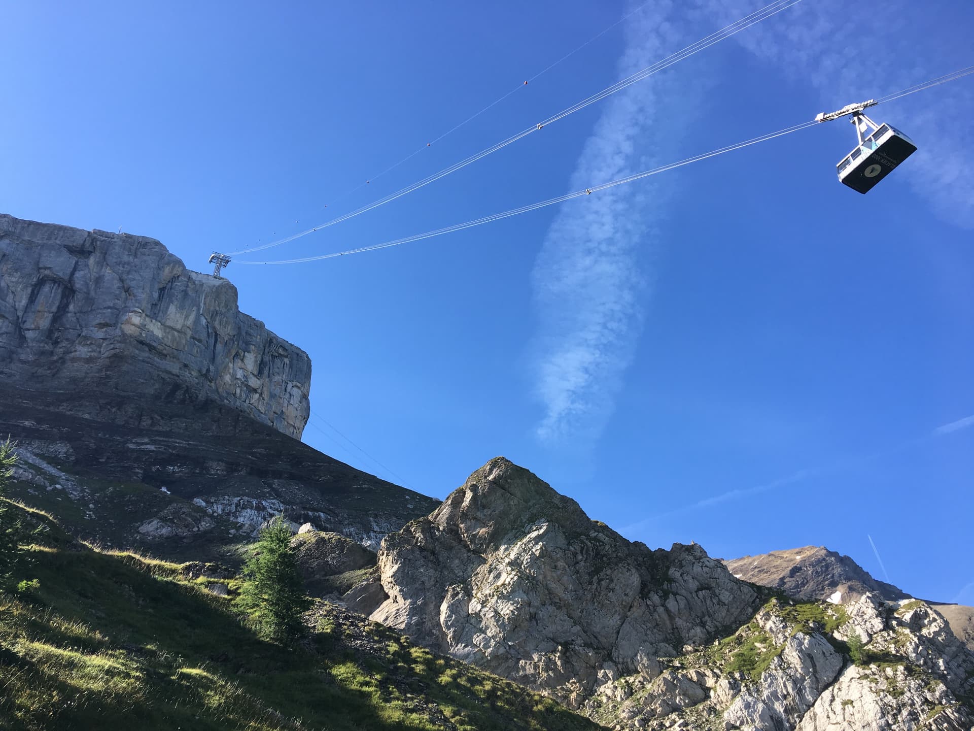
The Tête aux Chamois cliff under the Glacier 3000 cable car; the route climbs below the pylon

Switzerland · Vaud Alps

La diagonale du fou

Five short, varied pitches on compact limestone directly under the Glacier 3000 cable car, reached by a section of via ferrata. Not strenuous, generously bolted and friendly in grade. It tops out beside the cable-car station and the Diablerets hut.

6a5 pitches200 m

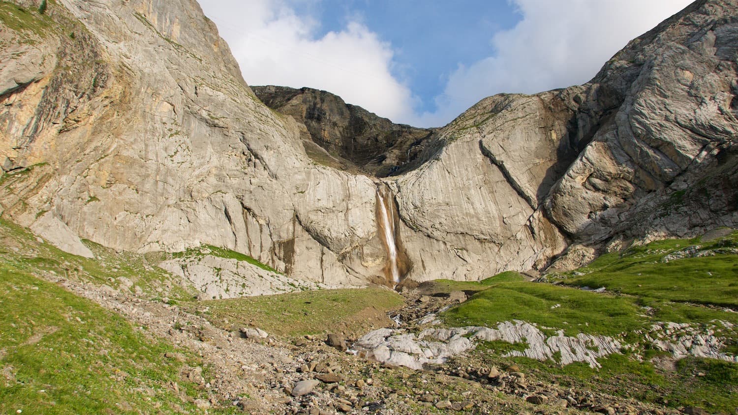
The Falaise du Dar and its waterfall above the Col du Pillon; Mérite alpin climbs the wall to the right of the fall

Switzerland · Vaud Alps

Mérite alpin

The first route opened on the wall right of the Dar waterfall: an easy pitch, two long pitches of steep technical slab and a fine vertical corner with a few athletic moves. Sustained for its grade on superb grey limestone, in the shade for most of the day.

6a+4 pitches130 m

Read the cautions

Around 6a · about 5 pitches

Similar elsewhere

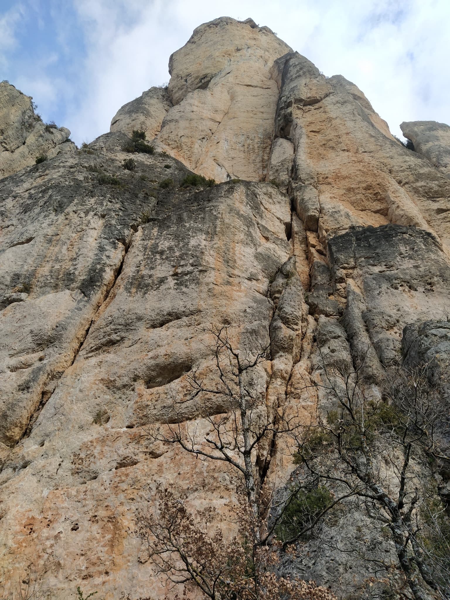
The wall of the Fusée sector seen from the foot of Gallo Loco

France · Gorges de la Jonte

Gallo Loco

Five pitches beside the Fusée monolith, built around a superb 35 to 40 m corner that ends under a big roof and escapes left across a wildly exposed but easy traverse. Rebolted in 2012 and better protected than most routes here. Rated a must at the grade by several recent parties.

6a5 pitches120 m

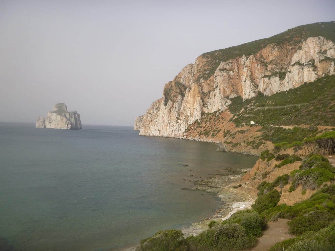
The Masua sea cliffs with the Pan di Zucchero stack offshore

Italy · Sardinia

Acciughe e Bottarga

An easy line up the edge of the tall sea cliff beside Porto Flavia, starting a few metres above the water. The lower half is broken and unremarkable; the upper arête and slab are on superb, very abrasive grey limestone with a view of the Pan di Zucchero stack. Almost plaisir, in a serious place.

6a5 pitches160 m

The headland of Capo d'Uomo on Monte Argentario with its watchtower on top, and the island of Giannutri on the horizon. The multipitch wall drops towards the sea below the tower; the routes are not visible in this view.

Italy · Monte Argentario

Argento Argentario (with the Spigolo Bonatti finish)

Three independent pitches on the wall below Capo d'Uomo, ending with a memorable 40 m wall of pockets, drips and flowstone at 6a. The route proper stops on the arête; the opener suggests carrying on up the last two pitches of the Spigolo Bonatti, an exposed 5c traverse and an easy ridge, to finish at the tower.

6a5 pitches200 m

Looking down the lichen-covered granite slab of Bügeleisen towards the forest at Handegg

Switzerland · Grimsel

Bügeleisen

A short, varied granite route up a pale, smooth pillar across the valley from the Handegg slabs: a corner crack, then friction and edge slabs that get harder pitch by pitch. Grades are stiff, and the last pitch is sustained and tricky. A good half day or uncertain-weather route with a 15-minute approach.

6a5 pitches200 m

Compiled from published sources and last verified October 2026. Bolts, anchors and access change. Climbing is dangerous and you are responsible for your own decisions: check a current topo and read the disclaimer.