Multipitch Atlas

Acciughe e Bottarga

Falesie di Masua (Iglesiente) · Sardinia · Italy

Bail with caveatsBolting confidence: medium

An easy line up the edge of the tall sea cliff beside Porto Flavia, starting a few metres above the water. The lower half is broken and unremarkable; the upper arête and slab are on superb, very abrasive grey limestone with a view of the Pan di Zucchero stack. Almost plaisir, in a serious place.

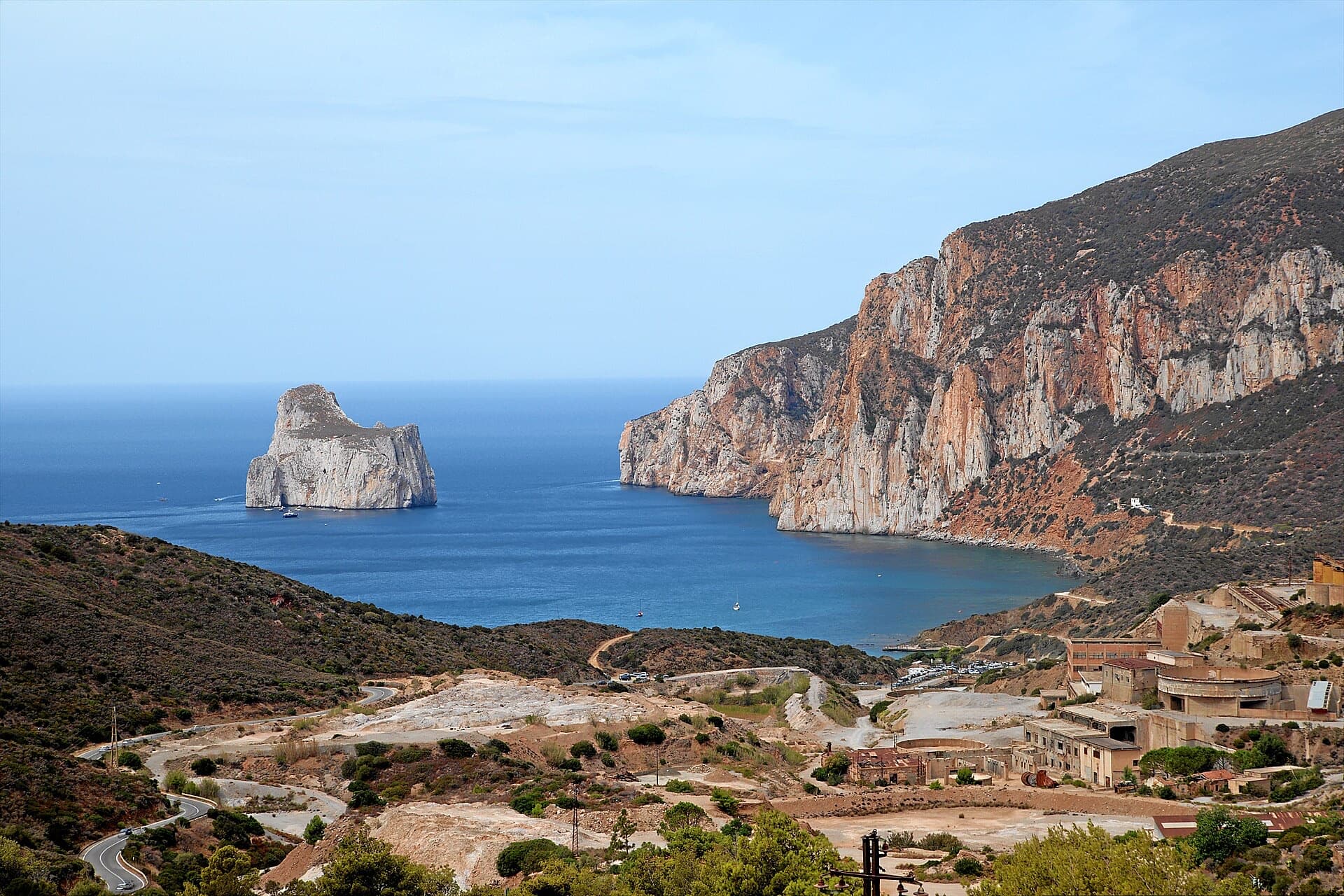
The Masua sea cliffs with the Pan di Zucchero stack offshorePhoto: Benga · CC BY-SA 3.0

Photo

The Masua sea cliffs with the Pan di Zucchero stack offshorePhoto: Benga · CC BY-SA 3.0
Hardest pitch
6a
Pitches
5
Length
160 m
Approach
25 min
Aspect
SE
South-east-facing
Rope
1×70 m
80 m better

The route

Overview

Acciughe e Bottarga climbs the sea cliff to the right of the Porto Flavia mine port at Masua, on the south-west coast of Sardinia. It was bolted in February 2013 by Maurizio Oviglia and Lagomarsino and roughly follows the historic route Gabriella. Five pitches, one move of 6a at the start and 5b to 5c after that. The rock is compact white limestone low down and grey, water-worn and very rough higher up. The setting, directly above the sea opposite the Pan di Zucchero, is the reason to come.

The climbing

Pitch by pitch

Pitches of Acciughe e Bottarga
PitchGradeLengthNotes
P16a20 mA technical vertical start on a compact slab, then easier diagonally left to a comfortable belay in a niche. Hard o Soft continues to the right.
P25c20 mA long easy traverse left (ignore the bolts going up, which belong to Megaminimondo), then a short vertical pillar or crack on good holds and a move left onto a comfortable ledge.
P35c30 mA short wall, then an easy section in a gully with dirty rock and some loose stones, and a long smooth leaning pillar to an uncomfortable belay on a pulpit.
P45c30 mThe best pitch: the exposed arête on very abrasive, beautifully sculpted rock to a comfortable terrace by a tree.
P55b30 mA short slab of water-pocketed rock to a slightly hanging, uncomfortable belay.

Getting there

Approach

To the parking

From Cagliari take the SS130 towards Iglesias; about 5 km after Iglesias turn right for Nebida and continue to Masua. From Masua follow signs to the beach, then towards the mines and Porto Flavia on a dirt road that an ordinary car can manage, and park in the car park below the gate of the Porto Flavia site.

On foot · about 25 min

20 to 30 minutes. From the car park return to the dirt road, go round the gate and walk a short way towards the Porto Flavia tunnel entrance without reaching it. There are two ways down to the shore. The direct one follows a crumbling crest of red earth on the left, which parties call delicate and sketchy. The safer one goes down to the pebble beach and along the shore over big boulders: slower, but several parties recommend it. From the beach, pass a large rock on its seaward side with easy scrambling and continue over rough ground to a ledge at the foot of the cliff. The route starts on a white wall right of a big reddish eroded area, a few metres above the sea, and shares its start with Hard o Soft, which then goes slightly right.

Map of the walk-in

  • Crag
  • Parking

Loading map

The point marks the crag, not the exact start of the route.

Coordinates · crag

39.33751, 8.41043

Parking

39.33659, 8.41621

camptocamp waypoint 688783 (Masua - Porto Flavia)

Point from camptocamp waypoint 630606

For your phone or watch

Download GPX

Contains the route point and parking. Opens in most mapping apps and GPS watches.

Points are compiled from published sources, with the precision stated above. They were not surveyed on the ground: check them against a current topo.

Getting down

Descent

By abseil. Gulliver.it describes five: from belay 5 to belay 4; straight down (right of the route, not along it) to a chain-and-ring station in the gully; down the gully, with loose stones and vegetation, to another chained station well to the right, about 15 m above belay 2; diagonally right to belay 1 in the niche, clipping a bolt or two to stay in line; then slightly right to the ground a few metres left of the start. Camptocamp counts four abseils. You can also abseil the route itself by clipping bolts, but it is more awkward.

Retreat

Bailing off the route

Bail with caveats

Abseiling is the normal way down and every belay is bolted, so you can retreat from any point. The caveats are that the route climbs diagonally, the equipped abseil line leaves the route to the right, and ropes have jammed in the vegetated gully.

Retreat from
Any belay. From belays 1 and 2 you can abseil directly; from higher up use the chained stations in the gully right of the route.
Point of no return
None documented.
Carry
A 70 m rope at least (80 m better), or two ropes. A few quickdraws to clip on the diagonal abseils.
Basis
Stated in the sourcesGulliver.it describes the abseil stations one by one and the risk of jamming; camptocamp confirms abseiling the route.

Safety

Hazards

  • The direct approach down the red earth slope is loose and exposed. The beach approach is safer.
  • Loose stones in the gully on pitch 3 and on the abseil line through it.
  • The third abseil can jam; the descent is diagonal and dirty. Keep the ropes tidy in the vegetation.
  • The start is close to the water; swell could make the foot of the route unpleasant (no source reports on sea state).
  • The rock on the upper pitches is extremely abrasive on hands and rope.

Sun and weather

Conditions

South to south-east facing and directly above the sea: sunny for most of the day and hot from late spring. Reports are from April, late October and early November; one October party climbed in 30°C with sirocco. Treat the season as the same as the other Masua routes, autumn to spring.

Usual season · Jan to May, Oct to Dec

Sun on the wall · SE-facing

Working out the sunlit hours for this month.

  • January (usual season): not yet worked out
  • February (usual season): not yet worked out
  • March (usual season): not yet worked out
  • April (usual season): not yet worked out
  • May (usual season): not yet worked out
  • June: not yet worked out
  • July: not yet worked out
  • August: not yet worked out
  • September: not yet worked out
  • October (usual season): not yet worked out
  • November (usual season): not yet worked out
  • December (usual season): not yet worked out

Sun on the wallDaylight, wall in shade● Usual season

Estimated from the wall's aspect only. Ignores surrounding terrain, gullies and the wall's exact shape. Clock times are local to the wall (Central European time), for the 15th of each month.

Monthly climate averages for Sardinia, 1991-2020
MeasureJan (usual season)Feb (usual season)Mar (usual season)Apr (usual season)May (usual season)JunJulAugSepOct (usual season)Nov (usual season)Dec (usual season)
Mean daily high °C141417202530343428241815
Mean daily low °C77911151922221916129
Rain days 1 mm or more9910118433771010

● marks the usual climbing season. Averages for 1991-2020 at about 100 m. Area climate from Open-Meteo reanalysis. Temperatures are adjusted to the height of the crag; rain comes from a grid cell of about 10 to 25 km, and summer highs on sea cliffs can read a few degrees low. The wall and valley can differ. Data: Open-Meteo, CC BY 4.0.

What to carry

Gear

About 10 quickdraws and a single 70 m rope; 80 m is more comfortable for the abseils (gulliver.it). Helmet.

Checklist

Quickdraws
10
Rope
1×70 m (80 m better)
Helmet
One each
Abseil device and prusik
The descent or the retreat involves abseiling

Derived from the route data; check it against a current topo

From climbers

Reader reports

Reader reports are not being collected yet. Until they are, check a current topo and the local club or guidebook publisher for recent changes to Acciughe e Bottarga.

Worth knowing

Tips

  • Do not follow Hard o Soft (6a+) to the right on pitch 1 or Megaminimondo straight up on pitch 2.
  • A 2017 party linked this route with Tukafezzalite the same day.
  • L'Italia Liberata, already in the atlas, is reached from the same car park.

Open questions

Where sources disagree

  • Start height: about 3 m above the water according to camptocamp, about 10 m according to gulliver.it.
  • Pitch lengths on camptocamp add up to 130 m against a stated 160 m on both sites.
  • Abseils: four on camptocamp, five on gulliver.it.
  • Aspect: south-east on camptocamp, south on gulliver.it.
  • Obligatory grade: 6a on camptocamp, 5c on gulliver.it.

Provenance

Sources

Same area

More in Sardinia

All routes in Sardinia
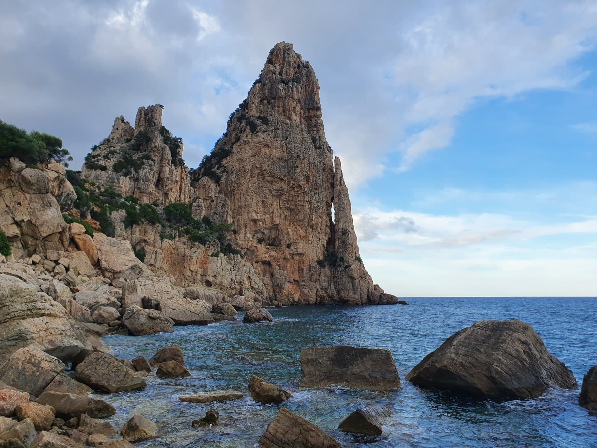
Pedra Longa, the 128 m limestone tower on the Baunei coast, seen from the shoreline rocks at its foot.

Italy · Sardinia

Marinaio di Foresta

An airy, mostly left-rising traverse that spirals round the Pedra Longa sea stack to its summit, on water-runnelled grey walls and pocketed white rock right above the sea. It has become one of the most popular routes in Sardinia, so expect queues.

6a+7 pitches190 m

Committing
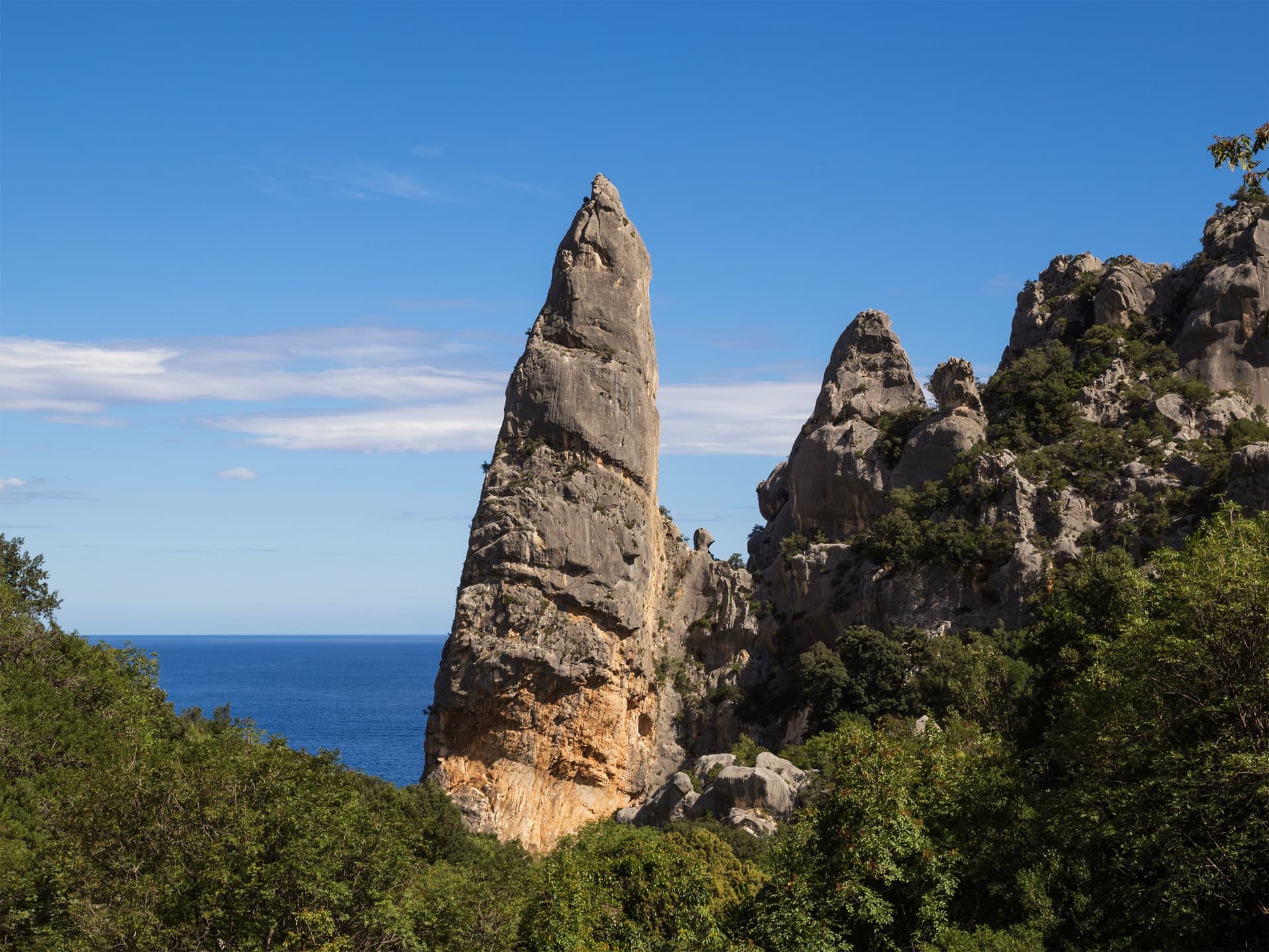
The Aguglia di Goloritzè, the 140 m limestone spire above Cala Goloritzè, seen from the approach path with the Gulf of Orosei behind.

Italy · Sardinia

Easy Gymnopédie

This is the easiest way to the top of Sardinia's iconic 140 m pinnacle above Cala Goloritzè. Short technical bulges and walls lead to a fine slab finish, and the harder overhangs can be aided. Gulliver splits it into 4 pitches; camptocamp gives 5. Check seasonal access rules for Cala Goloritzè before going.

6b5 pitches150 m

Read the cautions

The orange limestone cliffs of Masua (right) above the old mine workings, with the Pan di Zucchero sea stack offshore.

Italy · Sardinia

L'Italia Liberata

A short but superb sea-cliff route on beautifully sculpted limestone in an incredible setting near Pan di Zucchero. Corners and an airy pillar lead to a steep, rounded 6a wall. Camptocamp rates it 'great'.

6a4 pitches120 m

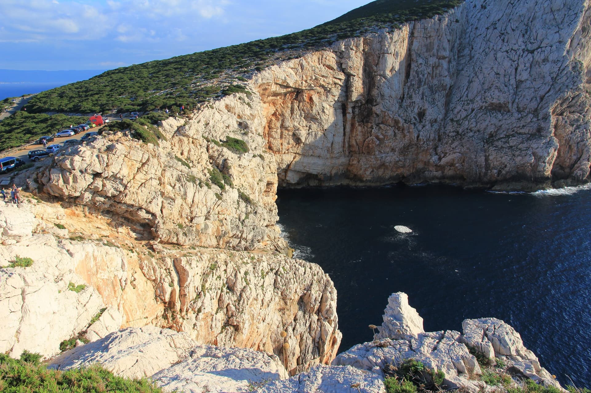
The limestone sea cliffs of Capo Caccia below the Foradada viewpoint car park, dropping straight into the sea.

Italy · Sardinia

Powaqqatsi

The easiest line on the Capo Caccia sea cliff: six pitches of 4b to 4c on pocketed, sharply sculpted limestone above the open sea. You abseil in from the top and climb out. The first two pitches are vegetated; the climbing proper starts on the pitch 3 slab.

4c6 pitches145 m

Read the cautionsCommitting

Around 6a · about 5 pitches

Similar elsewhere

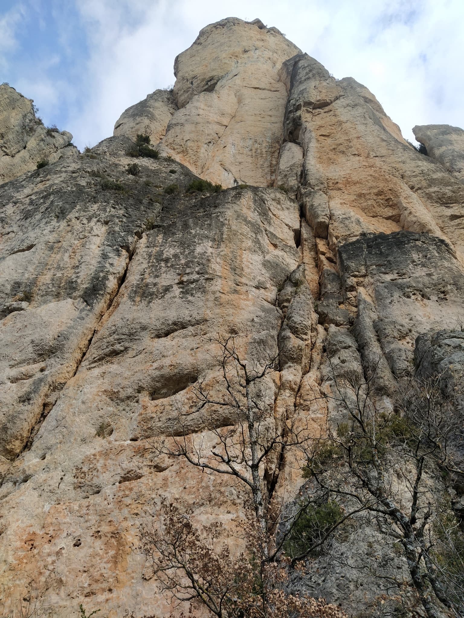
The wall of the Fusée sector seen from the foot of Gallo Loco

France · Gorges de la Jonte

Gallo Loco

Five pitches beside the Fusée monolith, built around a superb 35 to 40 m corner that ends under a big roof and escapes left across a wildly exposed but easy traverse. Rebolted in 2012 and better protected than most routes here. Rated a must at the grade by several recent parties.

6a5 pitches120 m

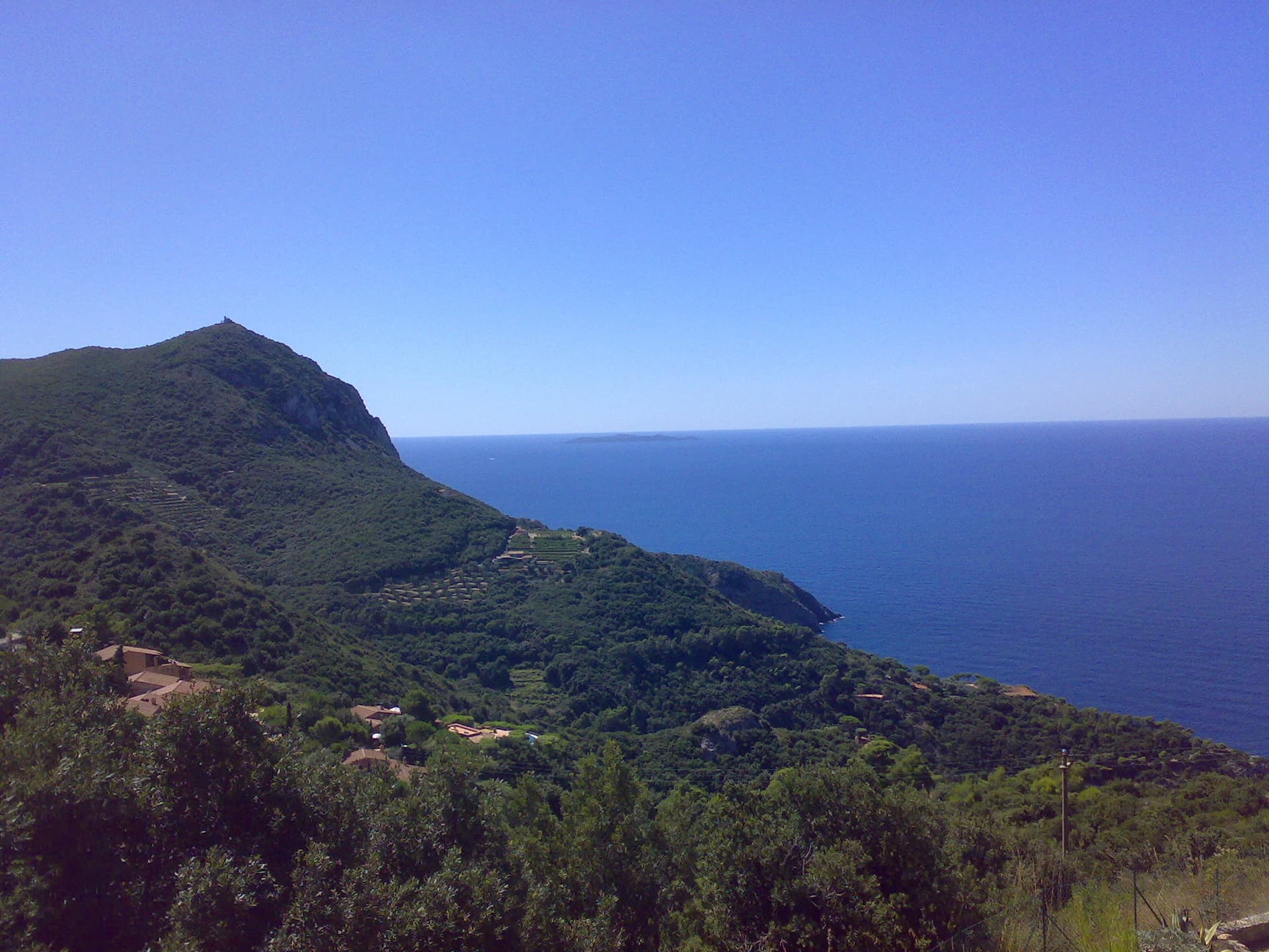
The headland of Capo d'Uomo on Monte Argentario with its watchtower on top, and the island of Giannutri on the horizon. The multipitch wall drops towards the sea below the tower; the routes are not visible in this view.

Italy · Monte Argentario

Argento Argentario (with the Spigolo Bonatti finish)

Three independent pitches on the wall below Capo d'Uomo, ending with a memorable 40 m wall of pockets, drips and flowstone at 6a. The route proper stops on the arête; the opener suggests carrying on up the last two pitches of the Spigolo Bonatti, an exposed 5c traverse and an easy ridge, to finish at the tower.

6a5 pitches200 m

Looking down the lichen-covered granite slab of Bügeleisen towards the forest at Handegg

Switzerland · Grimsel

Bügeleisen

A short, varied granite route up a pale, smooth pillar across the valley from the Handegg slabs: a corner crack, then friction and edge slabs that get harder pitch by pitch. Grades are stiff, and the last pitch is sustained and tricky. A good half day or uncertain-weather route with a 15-minute approach.

6a5 pitches200 m

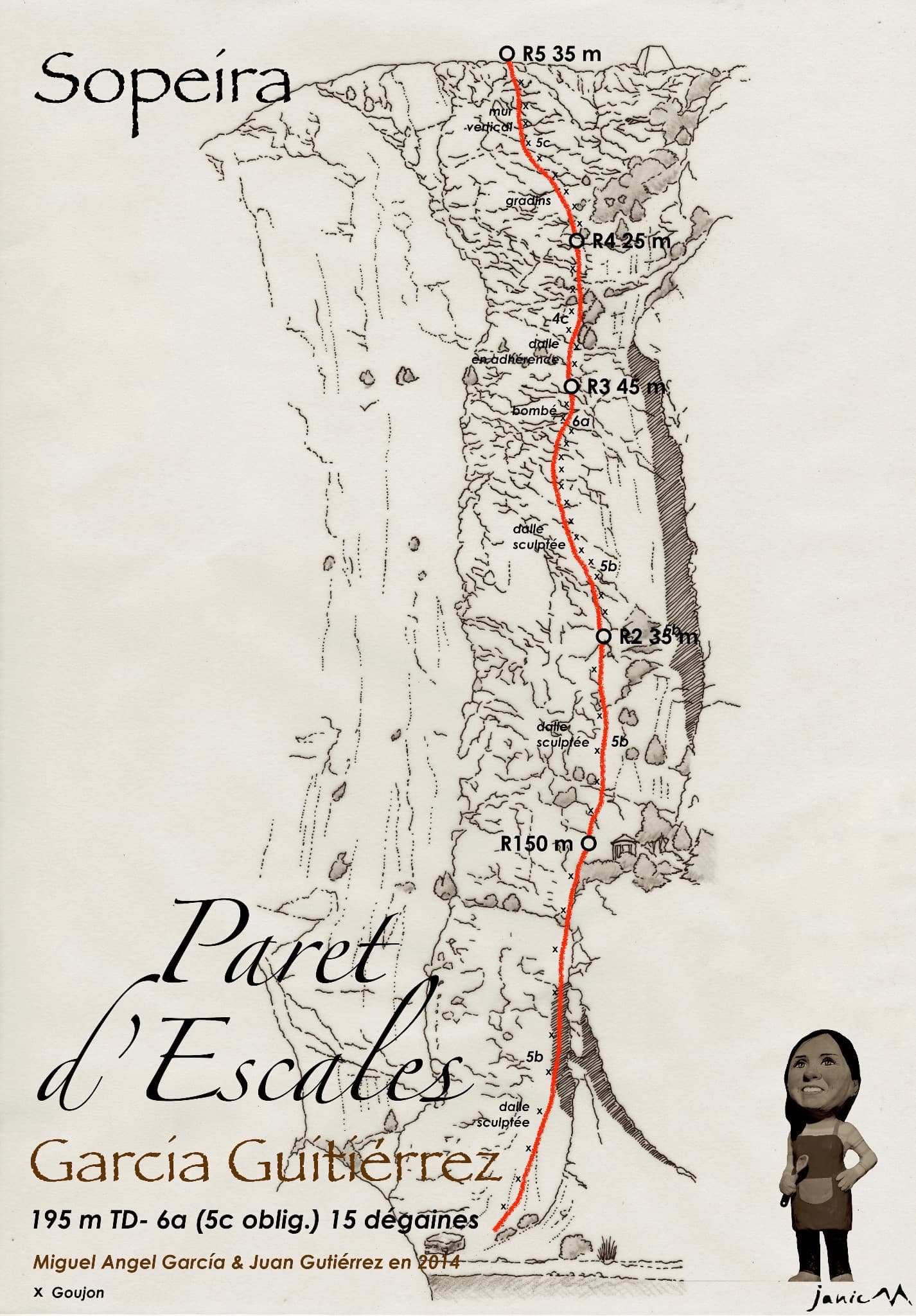
Drawn topo of García-Gutiérrez on the Paret d'Escales, with belays, pitch lengths and grades.

Spain · Escales (Ribagorça Pyrenees)

García-Gutiérrez

The neighbour of Xin Xan and a step up from it: adherence slabs low down, then an excellent, vertical third pitch on good holds that passes a small roof. It follows the edge of a corner without climbing in it. The last pitch has some doubtful rock.

6a5 pitches195 m

Compiled from published sources and last verified October 2026. Bolts, anchors and access change. Climbing is dangerous and you are responsible for your own decisions: check a current topo and read the disclaimer.