Spain · Escales (Ribagorça Pyrenees)
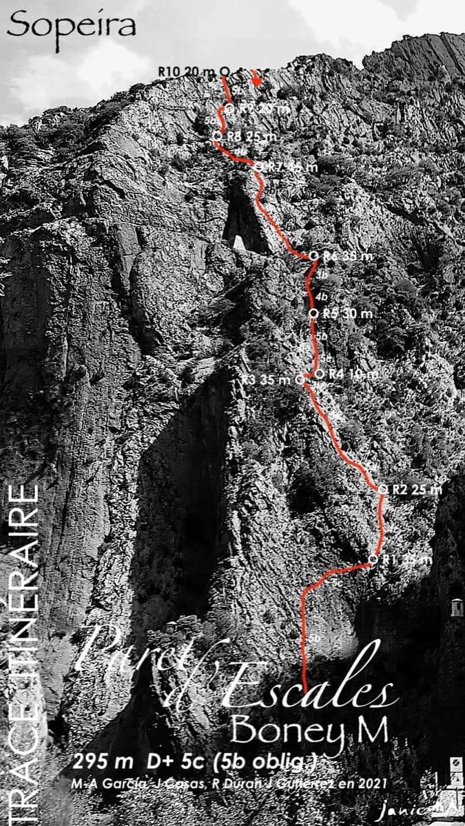
Boney M
A modern two-tier line above the Escales dam. Six pitches of slab and a well-protected 6a gully lead to the big ledge, and four more pitches of 5b wall reach the ridge.
6a10 pitches295 m
Paret d'Escales · Escales (Ribagorça Pyrenees) · Spain
Bail with caveatsBolting confidence: high
The neighbour of Xin Xan and a step up from it: adherence slabs low down, then an excellent, vertical third pitch on good holds that passes a small roof. It follows the edge of a corner without climbing in it. The last pitch has some doubtful rock.
The route
García-Gutiérrez starts a few metres right of Xin Xan and runs close to it on the first pitch before the lines separate. Most of it is easy-angled slab on very rough rock; the exceptions are the whole of pitch 3 and the end of pitch 5, which are vertical. The first ascensionists cleaned it thoroughly. The guidebook author rates pitch 3 as excellent and the rest as mixed, and notes that the line is squeezed between its neighbours in places. About 2 hours of climbing.
The climbing
| Pitch | Grade | Length | Bolts | Notes |
|---|---|---|---|---|
| P1 | 5b | 50 m | 10 bolts | An adherence slab with little for the hands, a crack, then another slab with more holds, to a comfortable belay. Other sources measure 45 m. Shares some ground with Minha Terra Galega. |
| P2 | 5a | 35 m | 6 bolts | A succession of small slabs and steps to a belay beside a tree. |
| P3 | 6a | 45 m | 15 bolts | A vertical wall on good holds, trending left until a few metres below the roof, with a fine move half-way, then the roof: one well-protected 6a move, or A0 with a long reach. Comfortable belay on a small ledge. The guidebook author suggests 6a+. |
| P4 | 4c | 25 m | 6 bolts | A small adherence slab with one fine move, then two more slabs split by a ledge, to a terrace. Xin Xan's penultimate belay is just below and left. |
| P5 | 5c | 35 m | 9 bolts | Steps, then a vertical wall on holds where footwork matters, on rock that is doubtful in places. The belay, across the wide ledge, is set very high and is hard to reach for a short climber. |
Getting there
Sopeira is on the N-230 between Lleida and Pont de Suert/Vielha, about 14 km south of Pont de Suert. Turn into the village and take the small road down to the river and the hydro-electric power station. Park on the right beside the power station, just before the bridge; parking is forbidden on the far side of the bridge, and stonefall onto cars left close under the wall is frequent. You can also park at the small car park by the dam, on the left as you come out of a tunnel on the N-230.
10 minutes from the power station: cross the bridge, follow the river, pass the ladder left of the power station entrance and walk up the true left bank to the foot of the dam. It is the second route from the right, with no name painted at the foot. Three routes start within about 5 m of each other here; Xin Xan is the one about 3 m to the left.
Loading map
The point marks the crag, not the exact start of the route.
Parking
camptocamp access waypoint 473447 (Presa d'Escales)
Point from camptocamp waypoint 187969 (Paret d'Escales)
Contains the route point and parking. Opens in most mapping apps and GPS watches.
Points are compiled from published sources, with the precision stated above. They were not surveyed on the ground: check them against a current topo.
Coordinates: 42.32417, 0.74528 (crag) · Parking: 42.32110, 0.74518
Getting down
Either abseil the route from R4, where each belay down has two ringed bolts that are not linked, or finish pitch 5 and walk off. On foot: Follow the ledge west towards the dam to the tunnel that slopes steeply down (a big chain hangs in it; take a head torch, and watch for iron spikes at the sides of the path). At the tunnel exit take the ledge to the right, with a handline, then a roped 'staircase', and come back left towards the dam. From there either go down the rock-cut staircase to the foot of the routes, or walk out along the dam to the main road and back to the village.
Retreat
Bail with caveats
Abseiling the route from R4 is one of the two normal descents: every belay up to R4 has two ringed bolts. The bolts are not linked, so you thread both or leave cord. Pitches reach 45 to 50 m, so two 60 m ropes are needed. From R5 you walk off.
Safety
Sun and weather
West-facing: in March the foot of the route gets the sun around midday. A November party found the rock cold and the friction poor. Pitch 1 seeps after rain when Xin Xan next door is dry. Spray from the dam can soak the base when water is being released.
Sun on the wall · W-facing
Working out the sunlit hours for this month.
Sun on the wallDaylight, wall in shade● Usual season
Estimated from the wall's aspect only. Ignores surrounding terrain, gullies and the wall's exact shape. Clock times are local to the wall (Central European time), for the 15th of each month.
| Measure | Jan | Feb | Mar (usual season) | Apr (usual season) | May (usual season) | Jun | Jul | Aug | Sep | Oct (usual season) | Nov (usual season) | Dec |
|---|---|---|---|---|---|---|---|---|---|---|---|---|
| Mean daily high °C | 9 | 10 | 13 | 15 | 20 | 24 | 27 | 27 | 23 | 18 | 12 | 9 |
| Mean daily low °C | −1 | −1 | 2 | 4 | 8 | 12 | 15 | 15 | 12 | 8 | 3 | −0 |
| Rain days 1 mm or more | 7 | 6 | 9 | 12 | 12 | 9 | 7 | 9 | 9 | 9 | 8 | 6 |
● marks the usual climbing season. Averages for 1991-2020 at about 752 m. Area climate from Open-Meteo reanalysis. Temperatures are adjusted to the height of the crag; rain comes from a grid cell of about 10 to 25 km, and summer highs on sea cliffs can read a few degrees low. The wall and valley can differ. Data: Open-Meteo, CC BY 4.0.
What to carry
15 quickdraws and 2×60 m ropes (camptocamp). Head torch for the tunnel if you walk off. Cord or a sling to link the two belay bolts.
Derived from the route data; check it against a current topo
From climbers
Reader reports are not being collected yet. Until they are, check a current topo and the local club or guidebook publisher for recent changes to García-Gutiérrez.
Worth knowing
Open questions
Provenance
Same area
Spain · Escales (Ribagorça Pyrenees)
A modern two-tier line above the Escales dam. Six pitches of slab and a well-protected 6a gully lead to the big ledge, and four more pitches of 5b wall reach the ridge.
6a10 pitches295 m
Spain · Escales (Ribagorça Pyrenees)
The longest easy route on the wall: 300 m of pleasant climbing on flakes and pockets, almost all between 4b and 5a. A steeper 5c wall starts it and a finer 6a slab finishes it on the crest. It has several easy escapes on foot and is often combined with Boney M or Xin Xan.
6a10 pitches310 m
Spain · Escales (Ribagorça Pyrenees)
Five long pitches of easy-angled, sculpted slab with pockets and small cracks, right beside the Escales dam. The climbing is steady 5a to 5b on very rough rock, with a steeper fractured wall to finish. It is the usual first multipitch on the wall.
5c5 pitches200 m
Read the cautions
Spain · Escales (Ribagorça Pyrenees)
A shady summer route on the wall above the Escales reservoir, five flat minutes from the car. It winds through corners and cracks low down and finishes up slabs, with the lake below you all the way. One slab move on pitch 4 is hard and is normally pulled through at A0.
6a+6 pitches185 m
Around 6a · about 5 pitches
France · Gorges de la Jonte
Five pitches beside the Fusée monolith, built around a superb 35 to 40 m corner that ends under a big roof and escapes left across a wildly exposed but easy traverse. Rebolted in 2012 and better protected than most routes here. Rated a must at the grade by several recent parties.
6a5 pitches120 m
Italy · Sardinia
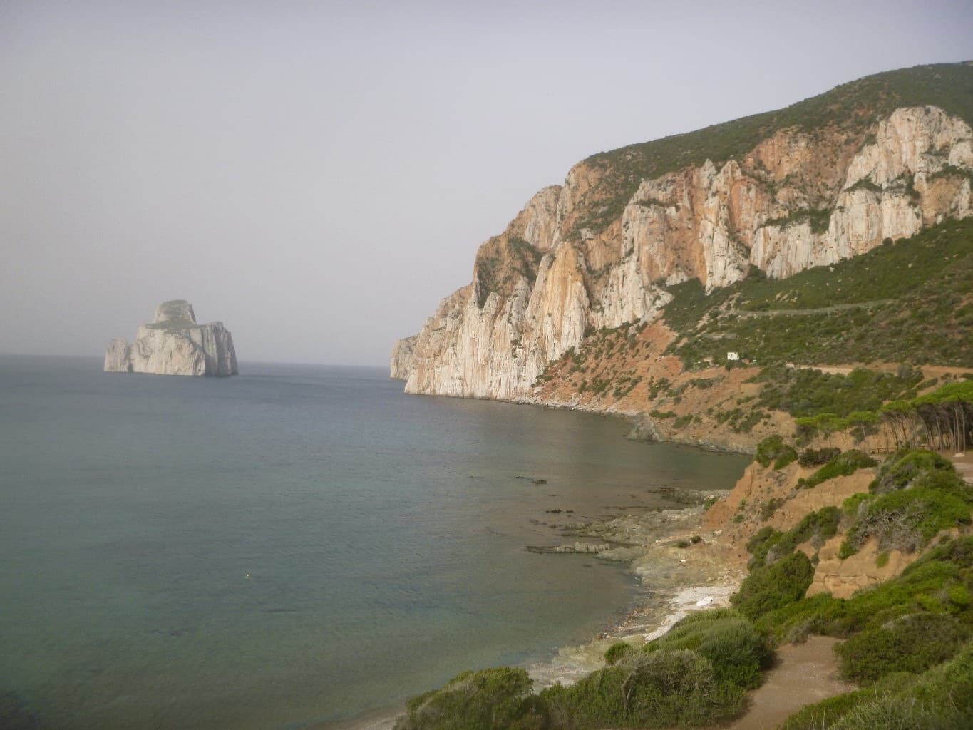
An easy line up the edge of the tall sea cliff beside Porto Flavia, starting a few metres above the water. The lower half is broken and unremarkable; the upper arête and slab are on superb, very abrasive grey limestone with a view of the Pan di Zucchero stack. Almost plaisir, in a serious place.
6a5 pitches160 m
Italy · Monte Argentario
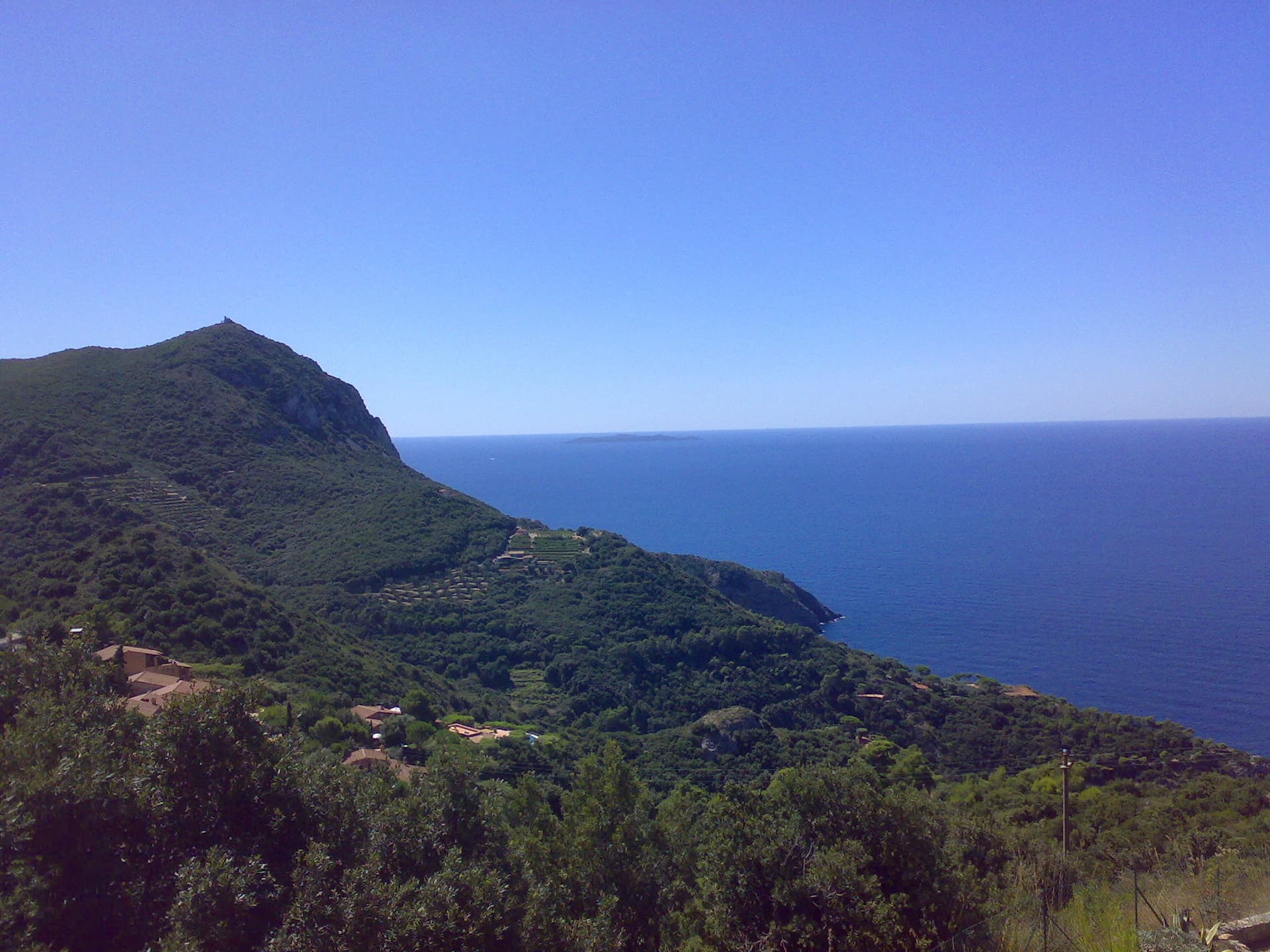
Three independent pitches on the wall below Capo d'Uomo, ending with a memorable 40 m wall of pockets, drips and flowstone at 6a. The route proper stops on the arête; the opener suggests carrying on up the last two pitches of the Spigolo Bonatti, an exposed 5c traverse and an easy ridge, to finish at the tower.
6a5 pitches200 m
Switzerland · Grimsel
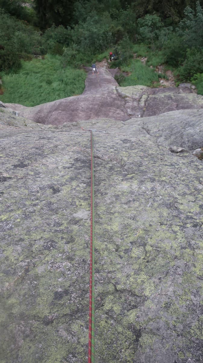
A short, varied granite route up a pale, smooth pillar across the valley from the Handegg slabs: a corner crack, then friction and edge slabs that get harder pitch by pitch. Grades are stiff, and the last pitch is sustained and tricky. A good half day or uncertain-weather route with a 15-minute approach.
6a5 pitches200 m
Compiled from published sources and last verified October 2026. Bolts, anchors and access change. Climbing is dangerous and you are responsible for your own decisions: check a current topo and read the disclaimer.