Spain · Escales (Ribagorça Pyrenees)
Boney M
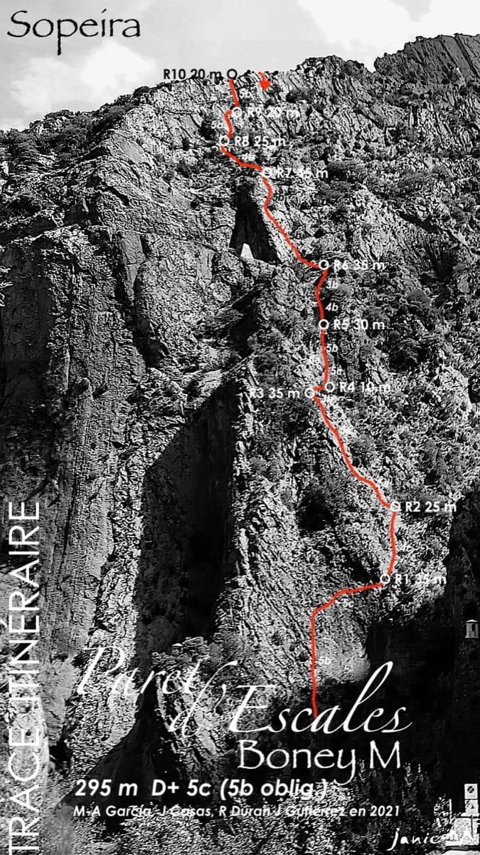
A modern two-tier line above the Escales dam. Six pitches of slab and a well-protected 6a gully lead to the big ledge, and four more pitches of 5b wall reach the ridge.
6a10 pitches295 m
Paret d'Escales · Escales (Ribagorça Pyrenees) · Spain
Easy to bailBolting confidence: high
The longest easy route on the wall: 300 m of pleasant climbing on flakes and pockets, almost all between 4b and 5a. A steeper 5c wall starts it and a finer 6a slab finishes it on the crest. It has several easy escapes on foot and is often combined with Boney M or Xin Xan.
The route
Lolita la Flamenca takes the spur on the right of the wall below the Escales dam, right of the big red corner of Minha Terra Galega, and continues above the half-height ledge to the ridge. It was opened in 2020 by the team behind García-Gutiérrez and is similar in style but easier. The only hard climbing is a well-protected move on pitch 1 and the last pitch, where 5b is obligatory. The rock is good almost throughout and the route has been cleaned thoroughly. The route is very popular; a July 2026 party took five hours.
The climbing
| Pitch | Grade | Length | Bolts | Notes |
|---|---|---|---|---|
| P1 | 5c | 30 m | 5 bolts | V/V+ on the topo. A steep wall with a rising traverse, 5 bolts and 3 pegs, then broken rock. The belay is on the railing of the power station's ventilation shaft. |
| P2 | 4c | 35 m | 8 bolts | Cross the ledge, climb cracks on the spur (IV+, take care with the rock in places), then curve right into an easy corner. 8 bolts and 3 pegs. |
| P3 | 4b | 30 m | 5 bolts | Straight up an easy-angled groove, pass left of a tree, then a small pillar on good flakes to a comfortable belay on its top. 5 bolts and 1 peg. |
| P4 | 5a | 40 m | 7 bolts | A short rising line through fractured ochre rock, then a slab of flakes out onto the crest, which you follow to a belay at a notch. |
| P5 | 5a | 30 m | 7 bolts | Traverse right, go straight up between the trees, then a fine slab that finishes on the crest. 7 bolts and 1 peg. This is the pitch where a small cam was suggested in 2020. |
| P6 | 3b | 30 m | 0 bolts | An unbolted grade II link, close to walking, to the big ledge and a belay at an isolated block. |
| P7 | 5a | 35 m | 9 bolts | IV+. Start on the right of the ledge up a slab of good flakes, then curve left to the belay, which sits in a gully that funnels stones. |
| P8 | 4c | 15 m | 4 bolts | IV+/IV. A groove in compact rock. Can be linked with pitch 9 (45 m). |
| P9 | 4b | 30 m | 6 bolts | IV+. Slightly right. |
| P10 | 6a | 35 m | 13 bolts | V+/6a. A finer slab: a 6a start, then airy 5c to the ridge. 13 bolts and 1 peg. The best pitch. |
Getting there
Sopeira is on the N-230 between Lleida and Pont de Suert/Vielha, about 14 km south of Pont de Suert. Turn into the village and take the small road down to the river and the hydro-electric power station. Park on the right beside the power station, just before the bridge; parking is forbidden on the far side of the bridge, and stonefall onto cars left close under the wall is frequent. You can also park at the small car park by the dam, on the left as you come out of a tunnel on the N-230.
5 to 10 minutes. From the power station, cross the parapet and take the staircase to the path along the Noguera Ribagorçana, and follow it towards the foot of the dam. Lolita is the right-most line of bolts, on the spur right of the big red corner. You can skip pitch 1 by walking up the stairs that lead to the white hut.
Loading map
The point marks the crag, not the exact start of the route.
Parking
camptocamp access waypoint 473447 (Presa d'Escales)
Point from camptocamp waypoint 187969 (Paret d'Escales)
Contains the route point and parking. Opens in most mapping apps and GPS watches.
Points are compiled from published sources, with the precision stated above. They were not surveyed on the ground: check them against a current topo.
Coordinates: 42.32417, 0.74528 (crag) · Parking: 42.32110, 0.74518
Getting down
Abseil the route from R10 to the big ledge: R10 to R9, R9 to R8, R8 to the ledge. A 2025 party did it in two abseils with 60 m ropes by skipping one station (about 58 m). On the ledge, walk west. Follow the ledge west towards the dam to the tunnel that slopes steeply down (a big chain hangs in it; take a head torch, and watch for iron spikes at the sides of the path). At the tunnel exit take the ledge to the right, with a handline, then a roped 'staircase', and come back left towards the dam. From there either go down the rock-cut staircase to the foot of the routes, or walk out along the dam to the main road and back to the village.
Retreat
Easy to bail
The whole route is set up for retreat. The Basque report lists abseil-equipped belays at R2, R3 and R4 low down and R7 to R10 above, and from R5 and R6 you simply walk off along the big ledge. Pitch 1 can also be avoided or reversed by the stairs to the white hut.
Safety
Sun and weather
South-facing below the dam at about 700 to 1,000 m. An October 2026 party who started around 09:00 found it hot by midday; a late-July party climbed from 08:00 to 13:00. When the dam's sluices are open the spray soaks the foot of the wall and the start cannot be reached: a party was turned back on 1 June 2024.
Sun on the wall · S-facing
Working out the sunlit hours for this month.
Sun on the wallDaylight, wall in shade● Usual season
Estimated from the wall's aspect only. Ignores surrounding terrain, gullies and the wall's exact shape. Clock times are local to the wall (Central European time), for the 15th of each month.
| Measure | Jan | Feb | Mar (usual season) | Apr (usual season) | May (usual season) | Jun | Jul | Aug | Sep | Oct (usual season) | Nov (usual season) | Dec |
|---|---|---|---|---|---|---|---|---|---|---|---|---|
| Mean daily high °C | 9 | 10 | 13 | 15 | 20 | 24 | 27 | 27 | 23 | 18 | 12 | 9 |
| Mean daily low °C | −1 | −1 | 2 | 4 | 8 | 12 | 15 | 15 | 12 | 8 | 3 | −0 |
| Rain days 1 mm or more | 7 | 6 | 9 | 12 | 12 | 9 | 7 | 9 | 9 | 9 | 8 | 6 |
● marks the usual climbing season. Averages for 1991-2020 at about 752 m. Area climate from Open-Meteo reanalysis. Temperatures are adjusted to the height of the crag; rain comes from a grid cell of about 10 to 25 km, and summer highs on sea cliffs can read a few degrees low. The wall and valley can differ. Data: Open-Meteo, CC BY 4.0.
What to carry
14 quickdraws plus belay kit and 2×60 m ropes (camptocamp). Head torch for the tunnel. The guidebook author's 2020 note suggests a small cam for mid-pitch 5; a Basque report says the bolting is sufficient and that the many cracks take nuts or cams if you want them.
Derived from the route data; check it against a current topo
From climbers
Reader reports are not being collected yet. Until they are, check a current topo and the local club or guidebook publisher for recent changes to Lolita la Flamenca.
Worth knowing
Open questions
Provenance
Same area
Spain · Escales (Ribagorça Pyrenees)
A modern two-tier line above the Escales dam. Six pitches of slab and a well-protected 6a gully lead to the big ledge, and four more pitches of 5b wall reach the ridge.
6a10 pitches295 m
Spain · Escales (Ribagorça Pyrenees)
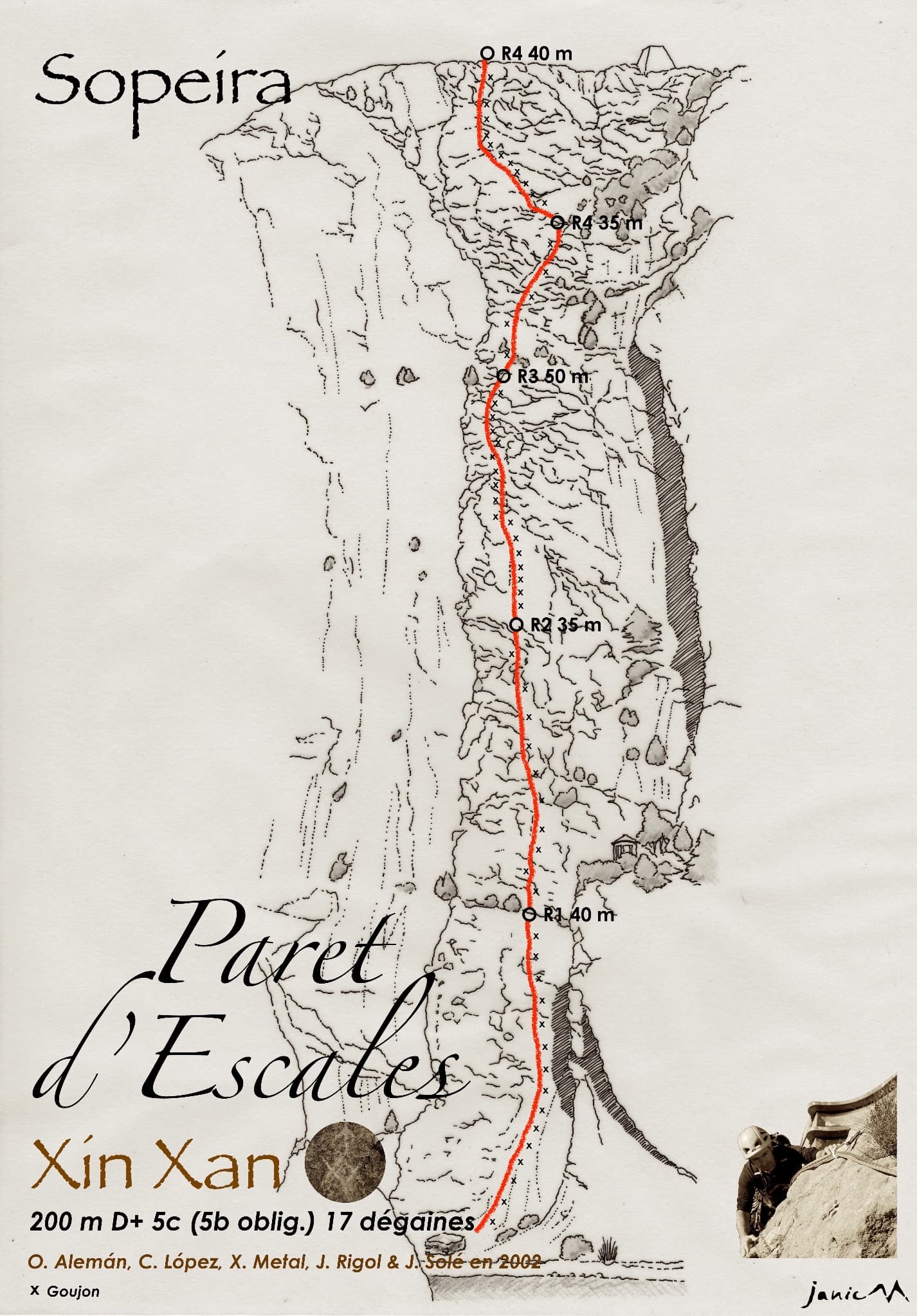
Five long pitches of easy-angled, sculpted slab with pockets and small cracks, right beside the Escales dam. The climbing is steady 5a to 5b on very rough rock, with a steeper fractured wall to finish. It is the usual first multipitch on the wall.
5c5 pitches200 m
Read the cautions
Spain · Escales (Ribagorça Pyrenees)
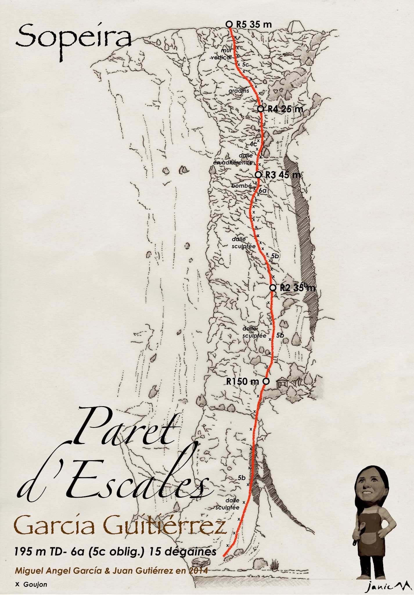
The neighbour of Xin Xan and a step up from it: adherence slabs low down, then an excellent, vertical third pitch on good holds that passes a small roof. It follows the edge of a corner without climbing in it. The last pitch has some doubtful rock.
6a5 pitches195 m
Spain · Escales (Ribagorça Pyrenees)
A shady summer route on the wall above the Escales reservoir, five flat minutes from the car. It winds through corners and cracks low down and finishes up slabs, with the lake below you all the way. One slab move on pitch 4 is hard and is normally pulled through at A0.
6a+6 pitches185 m
Around 6a · about 10 pitches
Italy · Aosta Valley
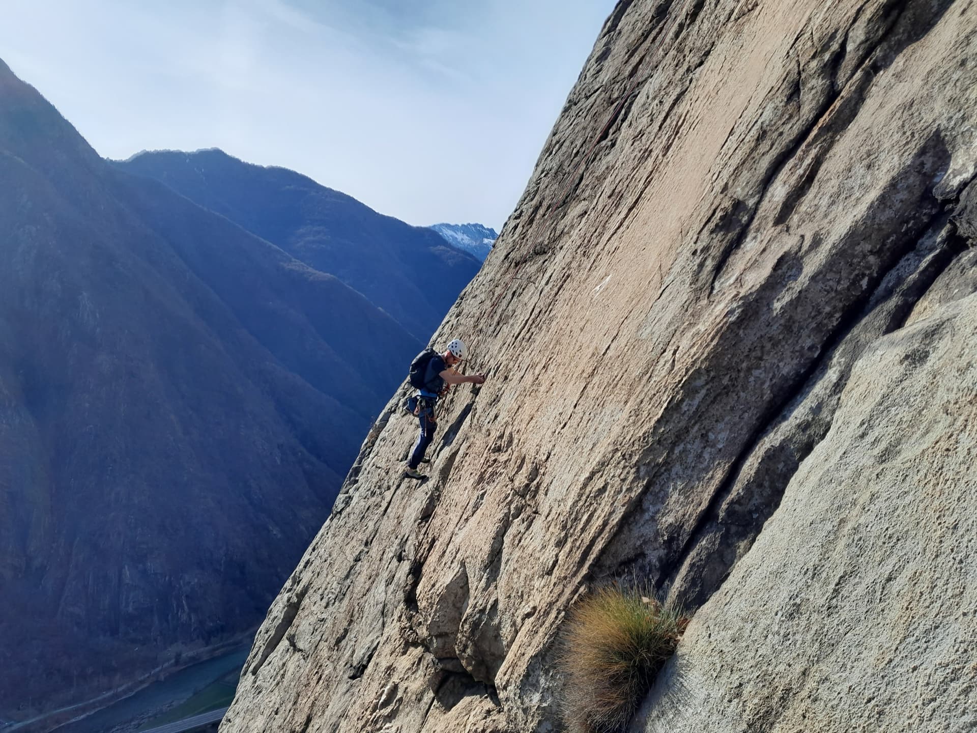
This is the most-climbed route on the Paretone. It gives sustained, varied slab and crack climbing on good gneiss, and the hardest moves are a fine crack on P2, a slanting corner and a punchy wall. Queues are common on good days. The Mani Nude guidebook grades it stiffly; camptocamp's Italian page calls it sustained at 5b–5c+ with a single 6a.
6a10 pitches290 m
Read the cautions
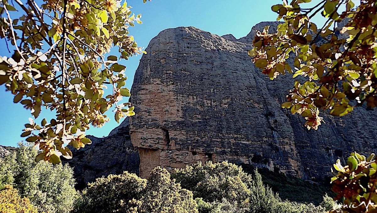
Spain · Riglos & Agüero (Mallos)
Starts past the huge roof on the west face and climbs to the Punta Blanca. A superb short 6a corner on pitch 3, then a long run of grade 4 and 5. In shade in the morning.
6a10 pitches250 m
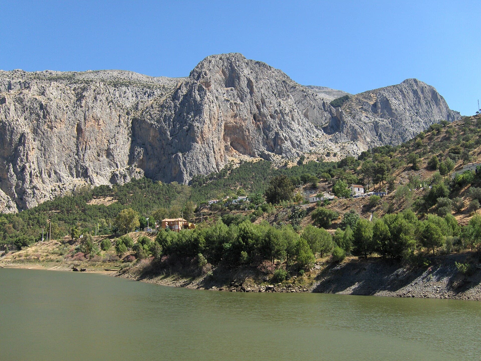
Spain · El Chorro
The absolute El Chorro classic: a physical, sustained line that feels tough for the grade, with a 6a traverse right under the roof. Polished in places from heavy traffic.
6a9 pitches182 m
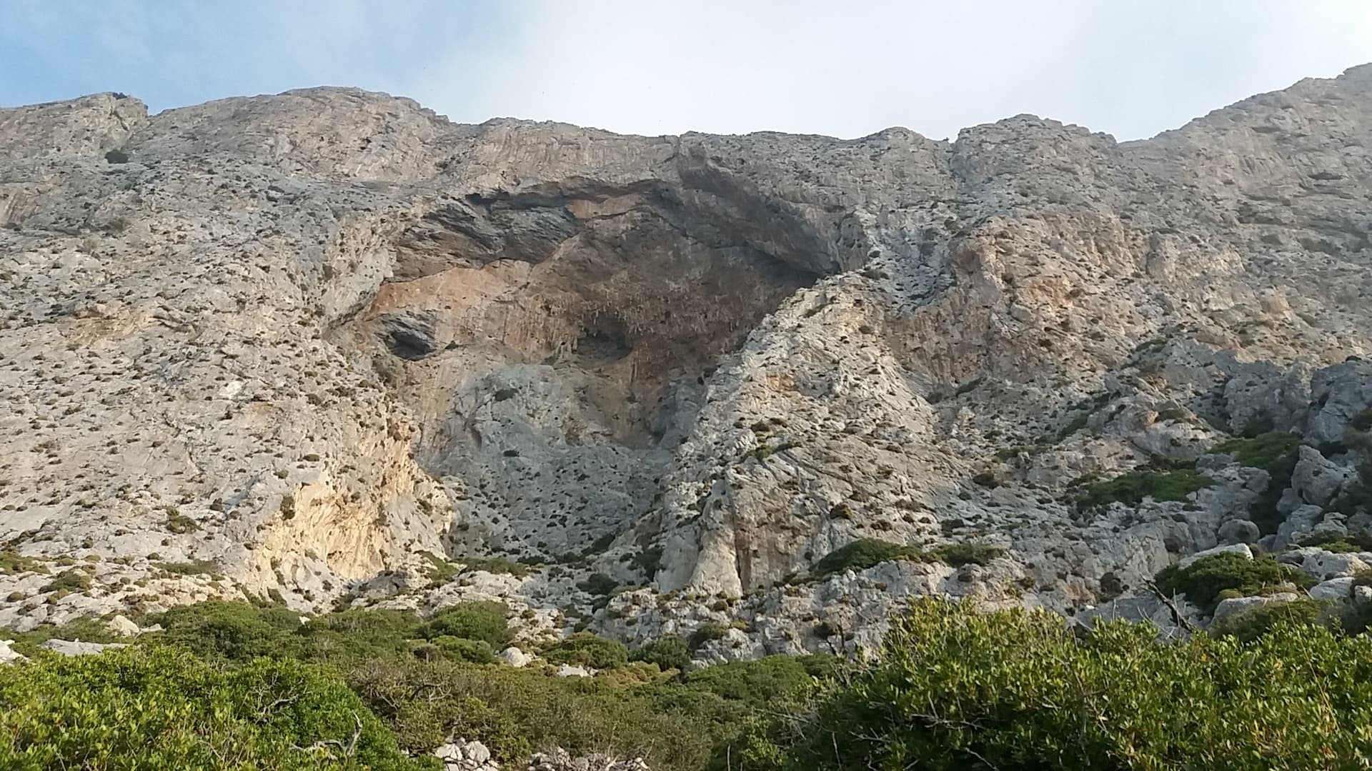
Greece · Kalymnos & Telendos
A sustained, varied line on sculpted limestone. It starts with an easy slab and builds to slightly overhanging jugs with huge exposure on the top pitch. Mountain Project and camptocamp grade the crux 6a+ (Rockfax says 6a). With a 70 m rope you can link several pairs of pitches.
6a9 pitches265 m
Compiled from published sources and last verified October 2026. Bolts, anchors and access change. Climbing is dangerous and you are responsible for your own decisions: check a current topo and read the disclaimer.