Multipitch Atlas

Gallo Loco

La Fusée · Gorges de la Jonte · France

Bail with caveatsBolting confidence: high

Five pitches beside the Fusée monolith, built around a superb 35 to 40 m corner that ends under a big roof and escapes left across a wildly exposed but easy traverse. Rebolted in 2012 and better protected than most routes here. Rated a must at the grade by several recent parties.

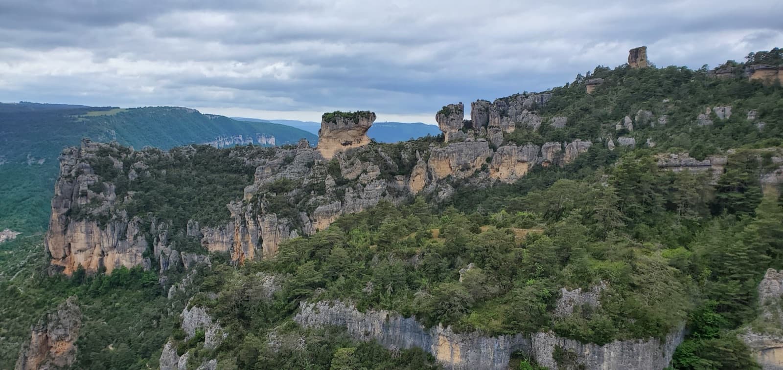
The wall of the Fusée sector seen from the foot of Gallo LocoPhoto: Anthony Marty · CC BY-NC-ND 3.0

Photo

The wall of the Fusée sector seen from the foot of Gallo LocoPhoto: Anthony Marty · CC BY-NC-ND 3.0
Hardest pitch
6a
Pitches
5
Length
120 m
Approach
20 min
Aspect
S
South-facing
Rope
2×50 m

The route

Overview

Gallo Loco starts up the corner on the left side of the Fusée, shares its first metres with the route La Fusée, then slants left to take the big corner above. Pitches 3 and 4 are the reason to come: a long corner, a steep juggy wall under the roof and a 5 m traverse in a very exposed position. A final pitch on rough grey rock leads to the top. Since the 2012 rebolt the protection is reassuring, and the route is the usual next step after Le Bitard. Expect queues in spring.

The climbing

Pitch by pitch

Pitches of Gallo Loco
PitchGradeNotes
P15cEasy steps to the foot of a corner, where the first bolt is about 10 m up. Climb the corner and leave it by traversing left; the grade is in this short traverse. Pass a first belay and keep traversing to a chained belay on a huge terrace.
P25cA fine pitch of crack and slab slanting left on good holds. La Fusée goes right here. The belay on the terrace is not chained.
P36aA magnificent corner of 35 to 40 m to a cramped belay under the big roof. Most parties do not stop there.
P46aVery short. Finish the corner leftwards under the roof on a steep wall of big holds, then traverse 5 m left in a very exposed position, more impressive than hard, to a belay on a small step. Linked with pitch 3 this gives nearly 50 m.
P55cA long pitch straight up excellent rough grey rock, with a small overhang at the exit.

Getting there

Approach

To the parking

The Jonte gorge starts at Le Rozier, about 20 km east of Millau: drive via Aguessac and the lower Tarn gorge to Le Rozier, then take the D996 towards Meyrueis. The main car park is a few kilometres past Le Rozier, on both sides of the road beside an SOS phone post; smaller lay-bys further up the road are closer to the Bitard and Fusée paths. Spaces are limited, so park nose-in. Le Rozier and Peyreleau have campsites, gîtes, shops and a cash machine, some of them seasonal; Meyrueis has services all year. Wild camping is banned in the gorge.

On foot · about 20 min

A well-marked path with obvious cairns climbs directly below the Fusée, a grey monolith with a distinctive shape. The start is the corner bounding the Fusée on its left, just right of a small sector of hard single pitches. The names of Gallo Loco and La Fusée are scratched at the foot of the corner but are hard to read. A 2025 party on the neighbouring sub-sector reports an easy 20 minutes on foot; the tourism sheet says 5.

Map of the walk-in

  • Crag
  • Parking

Loading map

The point marks the crag, not the exact start of the route.

Coordinates · crag

44.19537, 3.23996

Parking

44.19180, 3.23766

Roadside parking for the Fusée sector on the D996 (coordinates from the Tourisme Occitanie sector sheet)

Point from camptocamp waypoint 103645 (La Jonte - Fusée)

For your phone or watch

Download GPX

Contains the route point and parking. Opens in most mapping apps and GPS watches.

Points are compiled from published sources, with the precision stated above. They were not surveyed on the ground: check them against a current topo.

Getting down

Descent

From the last belay make four abseils down 'Les Canons de la Baronne': 25 m, 30 m, 30 m and 40 m. They are steep and free of vegetation, so ropes rarely snag; the third is offset to the left as you face the rock. A 2026 party with 2×60 m linked the first two (about 55 m). Do not abseil the route La Fusée (see hazards).

Retreat

Bailing off the route

Bail with caveats

The normal descent is by abseil, but down a neighbouring route from the very top. Part-way up, only the first belay is chained, so you would leave slings or karabiners, and pitches 1, 2 and 4 all traverse. No source describes a retreat.

Retreat from
The chained belay on the terrace at the top of pitch 1 is the simplest point (inferred).
Point of no return
Probably the exposed leftward traverse at the end of pitch 4; after it the top is one pitch away.
Carry
Two 50 m ropes, plus slings, cord and maillons for the unchained belays.
Basis
Inferred from the route factsCamptocamp states that belays are unchained and describes only the abseils from the top; the retreat picture is inferred from that and from the pitch descriptions.

Partly inferred from the route facts

Safety

Hazards

  • Griffon vultures nested in pitch 4 of the neighbouring route La Fusée in 2024. Camptocamp asks climbers not to abseil that route and not to climb its fourth pitch while the nest is occupied; check the club site for the current season.
  • Rope drag on the linked pitches 3 and 4 unless you extend the runners.
  • Queues: a May 2024 party waited an hour and a half at the foot behind slow teams.

Sun and weather

Conditions

South-facing limestone between about 550 and 800 m. The local club says you can climb here all year with some planning, but summer is very hot and the gorge is best avoided in a strong south-east wind. A party in April climbed in sun with a cool breeze and found it ideal.

Usual season · Mar to Jun, Sep to Nov

Sun on the wall · S-facing

Working out the sunlit hours for this month.

  • January: not yet worked out
  • February: not yet worked out
  • March (usual season): not yet worked out
  • April (usual season): not yet worked out
  • May (usual season): not yet worked out
  • June (usual season): not yet worked out
  • July: not yet worked out
  • August: not yet worked out
  • September (usual season): not yet worked out
  • October (usual season): not yet worked out
  • November (usual season): not yet worked out
  • December: not yet worked out

Sun on the wallDaylight, wall in shade● Usual season

Estimated from the wall's aspect only. Ignores surrounding terrain, gullies and the wall's exact shape. Clock times are local to the wall (Central European time), for the 15th of each month.

Climate figures for Gorges de la Jonte are not available yet

What to carry

Gear

14 quickdraws if you link pitches 3 and 4 (one party took 15), some of them extendable. Slings and karabiners for the belays, which are not chained apart from the first. Two 50 m ropes for the abseils. Helmet.

Checklist

Quickdraws
14
Rope
2×50 m
Helmet
One each
Abseil device and prusik
The descent or the retreat involves abseiling
Slings
Mentioned for retreat
Maillons or spare karabiners
To leave behind if you retreat
Cord
Mentioned for retreat

Derived from the route data; check it against a current topo

From climbers

Reader reports

Reader reports are not being collected yet. Until they are, check a current topo and the local club or guidebook publisher for recent changes to Gallo Loco.

Worth knowing

Tips

  • Link pitches 3 and 4 to the belay left of the roof: it is far more comfortable and the belayer can see the leader.
  • Fast parties climb the route in about an hour; allow about 3 hours with the abseils.
  • Camptocamp notes the name is Spanish for 'crazy rooster', a play on the first ascensionist's surname, Coq.

Open questions

Where sources disagree

  • Pitch count: the 2024 guide links pitches 3 and 4, giving four pitches; camptocamp lists five, which is used here.
  • Approach time: 5 minutes on the tourism sheet, about 20 minutes in a 2025 trip report.
  • The camptocamp crag page puts the sector at 460 m; the route page gives 600 to 800 m.
  • Individual pitch lengths are not published apart from the 35 to 40 m corner.

Provenance

Sources

Same area

More in Gorges de la Jonte

All routes in Gorges de la Jonte
Looking down the Jonte gorge towards Le Rozier from the Ravin des Échos, photographed from Zébulon

France · Gorges de la Jonte

Zébulon

Probably the most approachable multipitch in the Jonte: four pitches of grade 3 and 4 on excellent, juggy rock up the right side of a pillar, with solid chained belays where leader and second stay in sight. Vultures circle past by late morning. The walk-off needs a little care.

4c4 pitches100 m
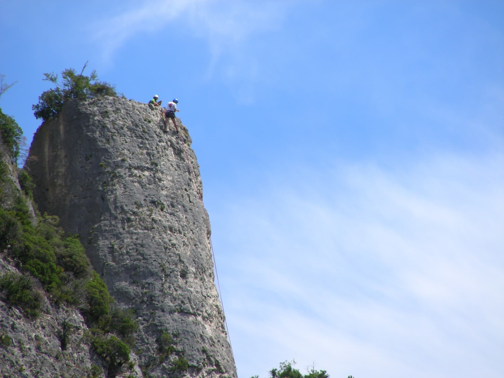
Climbers on the flat summit of the Bitard pillar, Gorges de la Jonte

France · Gorges de la Jonte

Le Bitard

The pillar that gives the sector its name, climbed in four short pitches on grey, well-featured rock. The third pitch is a sustained vertical crack and the best of the route. It is the usual first multipitch for visitors because the bolts are closer than elsewhere in the gorge.

5c4 pitches100 m

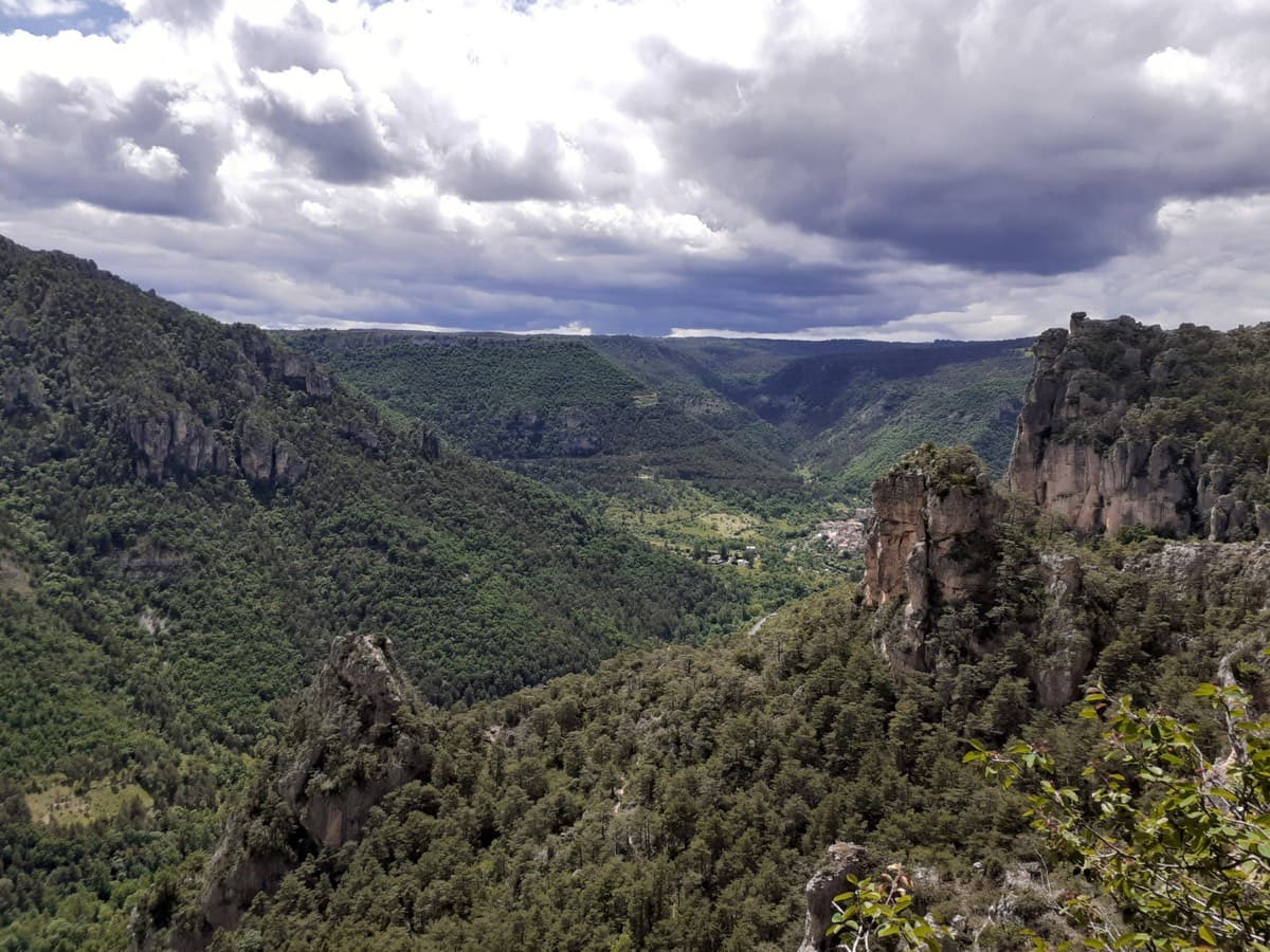
A view of the region, not this route's wall. The cliffs and rock towers of the Jonte gorge seen from the top of Zébulon.

France · Gorges de la Jonte

Le Jardin Enchanté

A four-pitch face route in the Bitard sector that starts easily and then asks for careful footwork on a traversing slab and a steeper wall of flakes. Freshly rebolted in 2022, but you still climb between the bolts. Very popular with groups.

5c4 pitches130 m

Read the cautions

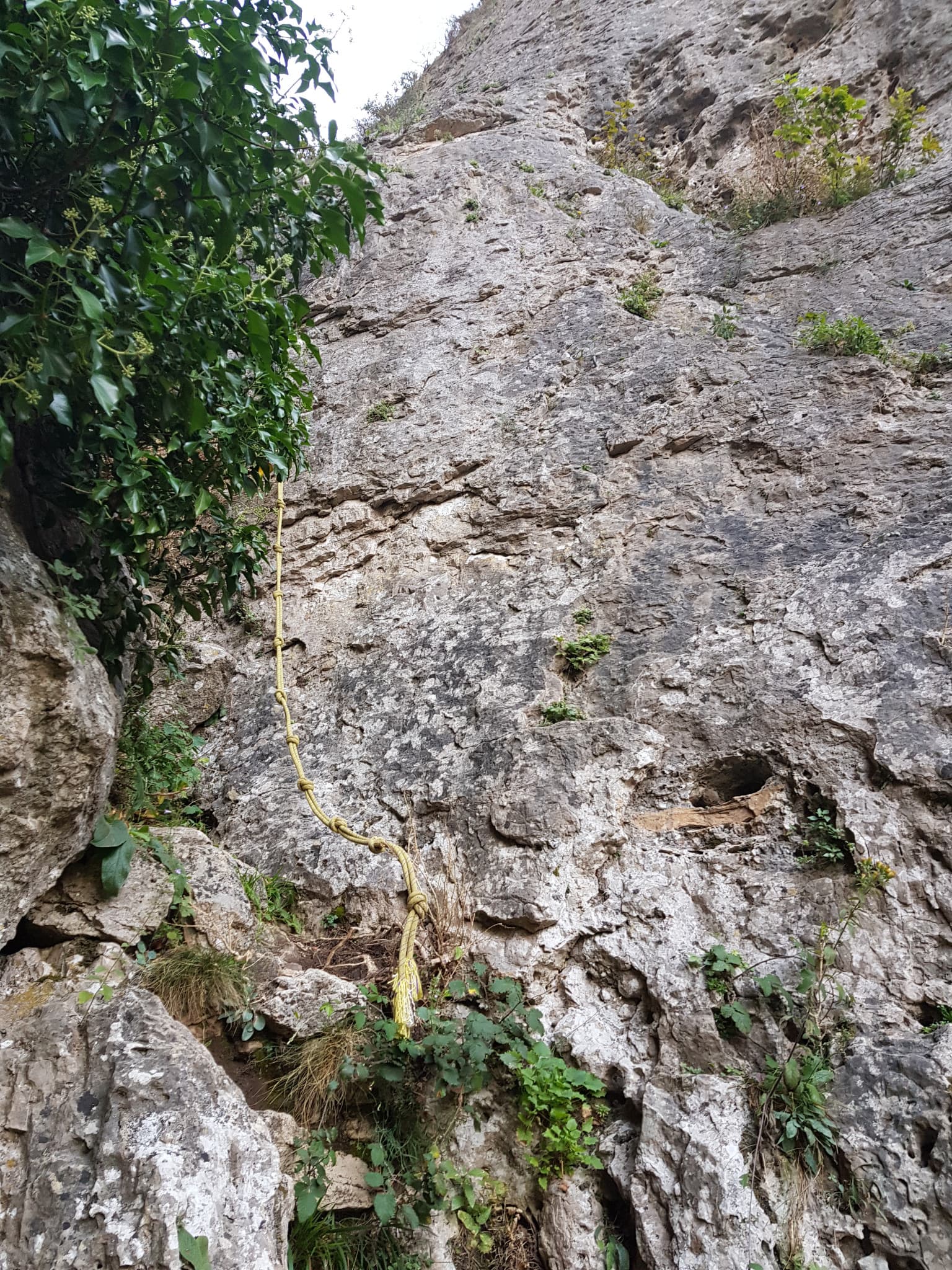
The start of La canicule t'emballe ?, just before the yellow fixed rope in the ravine

France · Gorges de la Jonte

La canicule t'emballe ?

A recent five-pitch route with unusually generous bolting for the Jonte. A long, fairly vertical 5c+ wall is followed by a traverse, a gully and an optional squeeze through a horizontal slot to a belay in a cave. Shaded in the morning and again from mid-afternoon.

5c+5 pitches110 m

Around 6a · about 5 pitches

Similar elsewhere

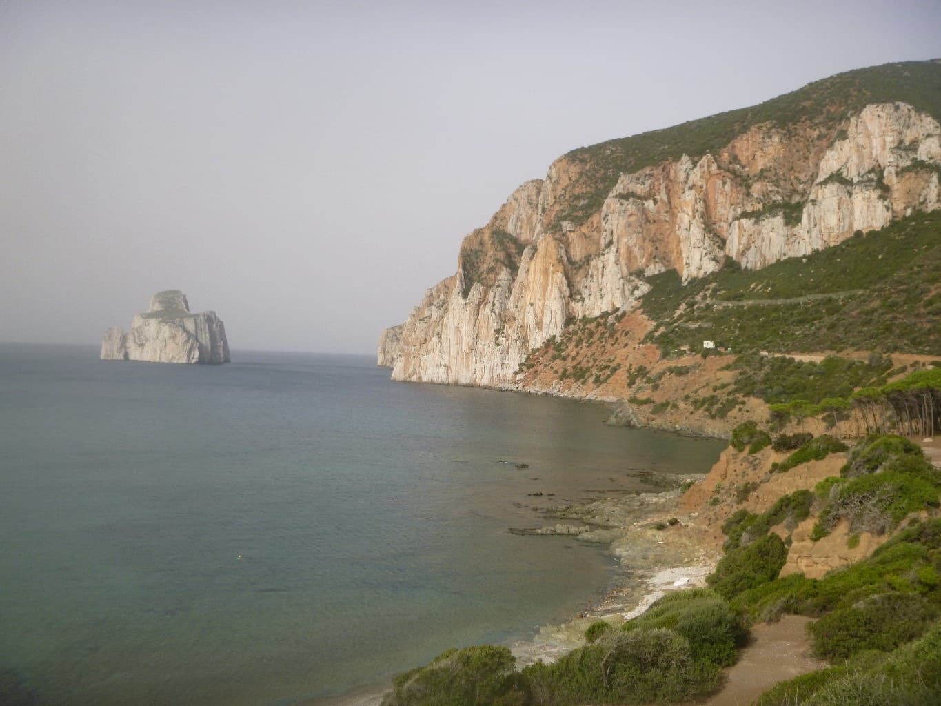
The Masua sea cliffs with the Pan di Zucchero stack offshore

Italy · Sardinia

Acciughe e Bottarga

An easy line up the edge of the tall sea cliff beside Porto Flavia, starting a few metres above the water. The lower half is broken and unremarkable; the upper arête and slab are on superb, very abrasive grey limestone with a view of the Pan di Zucchero stack. Almost plaisir, in a serious place.

6a5 pitches160 m

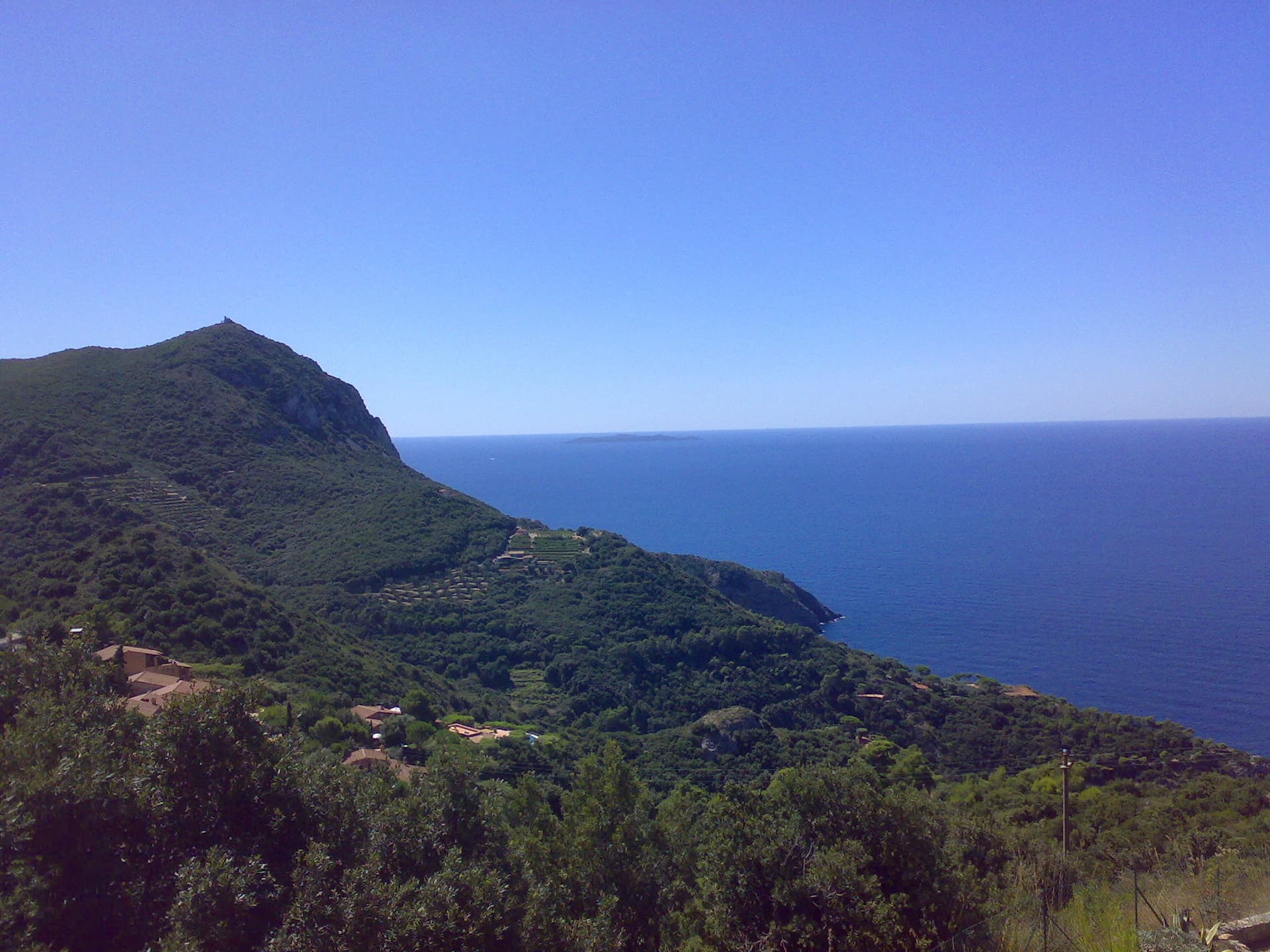
The headland of Capo d'Uomo on Monte Argentario with its watchtower on top, and the island of Giannutri on the horizon. The multipitch wall drops towards the sea below the tower; the routes are not visible in this view.

Italy · Monte Argentario

Argento Argentario (with the Spigolo Bonatti finish)

Three independent pitches on the wall below Capo d'Uomo, ending with a memorable 40 m wall of pockets, drips and flowstone at 6a. The route proper stops on the arête; the opener suggests carrying on up the last two pitches of the Spigolo Bonatti, an exposed 5c traverse and an easy ridge, to finish at the tower.

6a5 pitches200 m

Looking down the lichen-covered granite slab of Bügeleisen towards the forest at Handegg

Switzerland · Grimsel

Bügeleisen

A short, varied granite route up a pale, smooth pillar across the valley from the Handegg slabs: a corner crack, then friction and edge slabs that get harder pitch by pitch. Grades are stiff, and the last pitch is sustained and tricky. A good half day or uncertain-weather route with a 15-minute approach.

6a5 pitches200 m

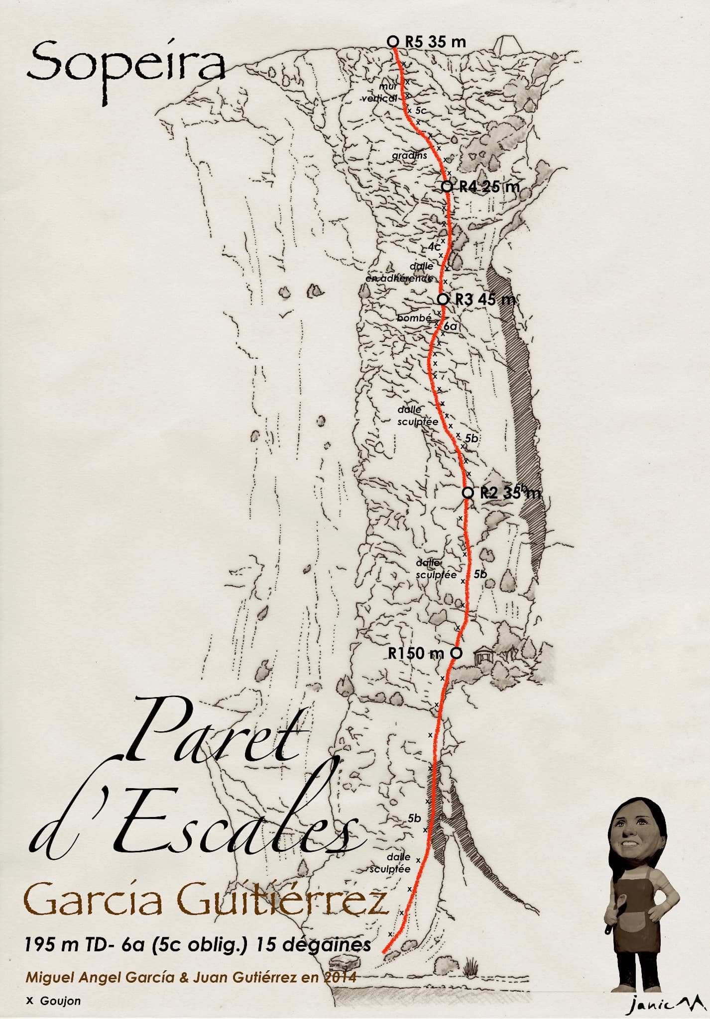
Drawn topo of García-Gutiérrez on the Paret d'Escales, with belays, pitch lengths and grades.

Spain · Escales (Ribagorça Pyrenees)

García-Gutiérrez

The neighbour of Xin Xan and a step up from it: adherence slabs low down, then an excellent, vertical third pitch on good holds that passes a small roof. It follows the edge of a corner without climbing in it. The last pitch has some doubtful rock.

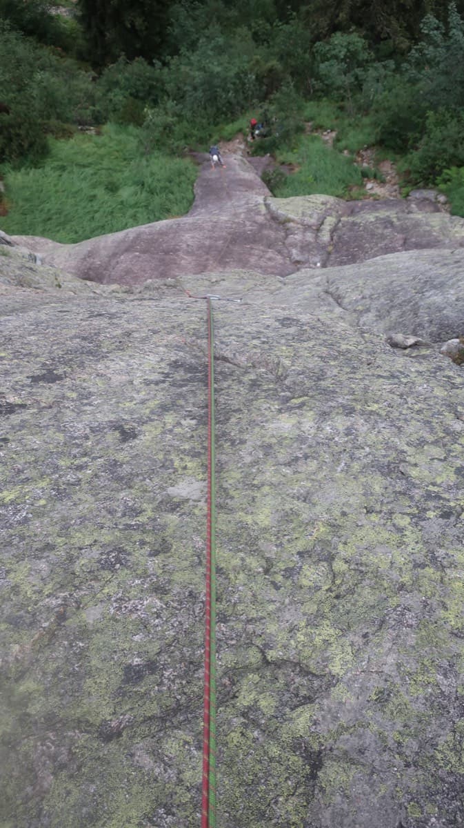
6a5 pitches195 m

Compiled from published sources and last verified October 2026. Bolts, anchors and access change. Climbing is dangerous and you are responsible for your own decisions: check a current topo and read the disclaimer.