Multipitch Atlas

La canicule t'emballe ?

Ravin des Échos – L'envers de la Cathédrale · Gorges de la Jonte · France

Bail with caveatsBolting confidence: high

A recent five-pitch route with unusually generous bolting for the Jonte. A long, fairly vertical 5c+ wall is followed by a traverse, a gully and an optional squeeze through a horizontal slot to a belay in a cave. Shaded in the morning and again from mid-afternoon.

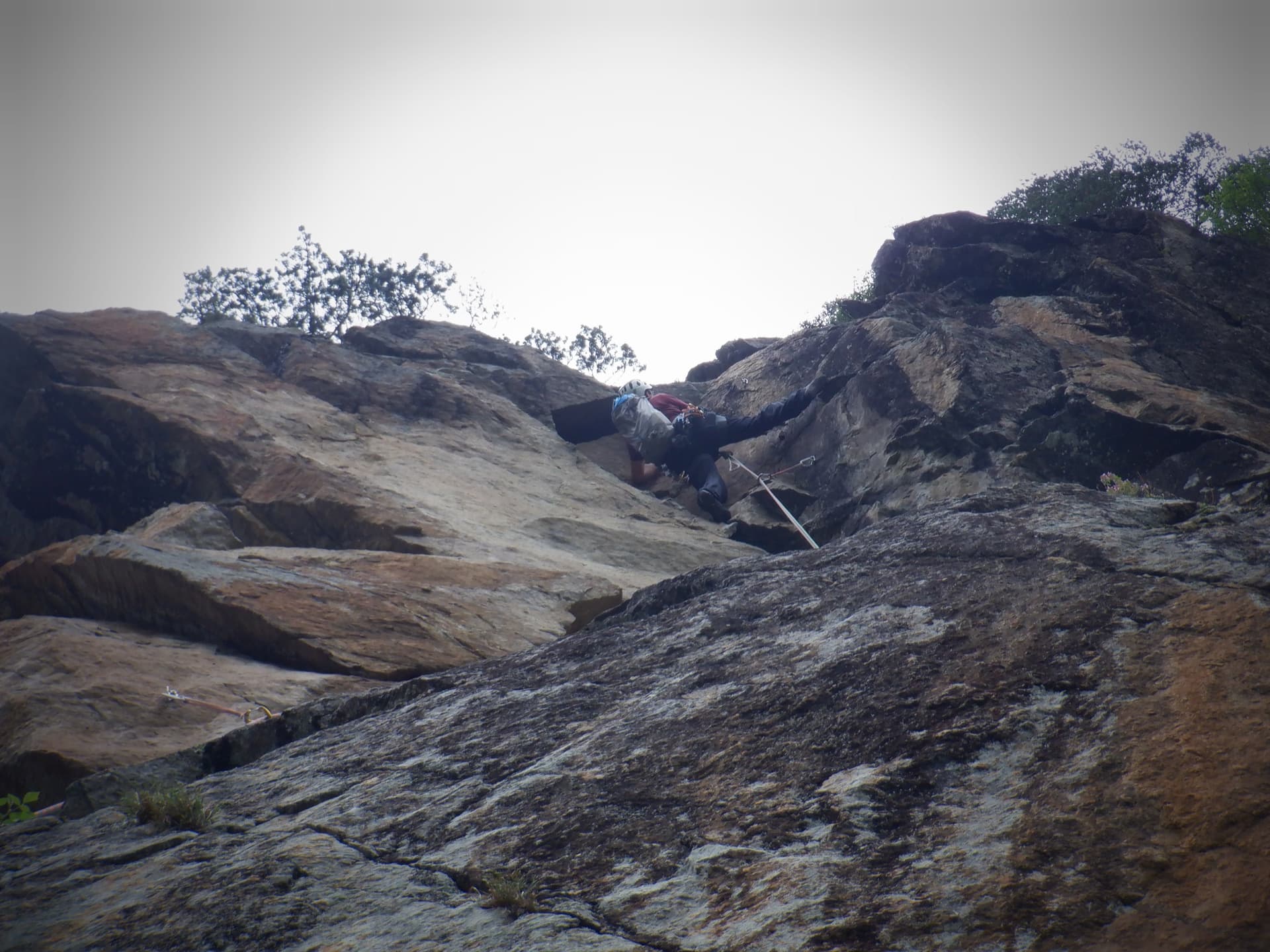
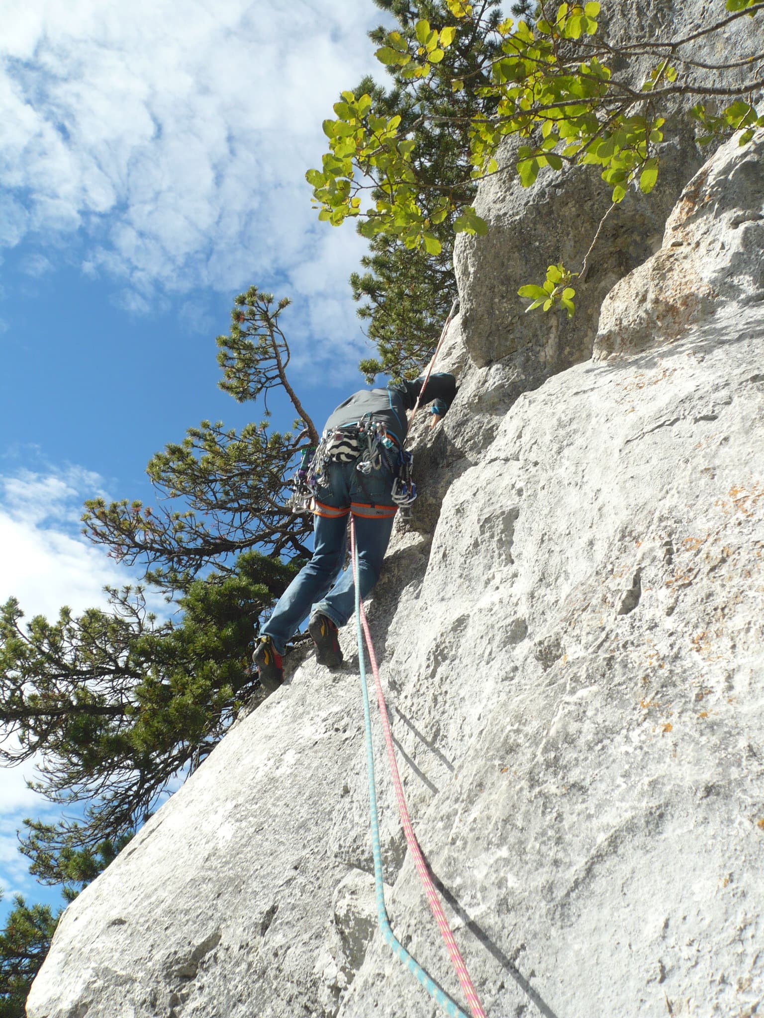
The start of La canicule t'emballe ?, just before the yellow fixed rope in the ravinePhoto: NoemieM · CC BY-NC-ND 3.0

Photo

The start of La canicule t'emballe ?, just before the yellow fixed rope in the ravinePhoto: NoemieM · CC BY-NC-ND 3.0
Hardest pitch
5c+
Pitches
5
Length
110 m
Approach
30 min
Aspect
SW
South-west-facing
Rope
–

The route

Overview

This 2024 route starts from a small beginners' sector in the ravine behind the Cathédrale tower and works up to the rim in five pitches. The second pitch is the main event: 35 m of sustained, near-vertical wall with a few thin moves. After a rightward traverse the route takes the side of a gully and, in its original form, crawls left through a horizontal fault to a belay inside a cave. Trip reports consistently describe the protection as plentiful, which is rare here, and the grade as accessible. An 'extension' (6a+) and the neighbouring Pégase can be linked for a longer day.

The climbing

Pitch by pitch

Pitches of La canicule t'emballe ?
PitchGradeLengthNotes
P15b15 mStraight up the left-hand line of the short beginners' routes to a chained belay.
P25c+35 mCarry on straight up a long, fairly vertical wall. Sustained with a few thin moves. Two belays: a comfortable one that is not linked and a less comfortable chained one.
P35a+20 mTraverse right, with some down-climbing at the start, to a belay at the end of the traverse. You can skip it and continue to the next belay at the foot of the gully, which makes about 35 m.
P45c30 mFollow the glue-ins on the right side of the gully (a cord marks the first). Once stood on the jammed block, squeeze into the horizontal fault on the left to find the belay in the cave. You can instead exit straight up on older hangers and skip the caving.
P55a+15 mA short pitch to a final belay on a tree.

Getting there

Approach

To the parking

The Jonte gorge starts at Le Rozier, about 20 km east of Millau: drive via Aguessac and the lower Tarn gorge to Le Rozier, then take the D996 towards Meyrueis. The main car park is a few kilometres past Le Rozier, on both sides of the road beside an SOS phone post; smaller lay-bys further up the road are closer to the Bitard and Fusée paths. Spaces are limited, so park nose-in. Le Rozier and Peyreleau have campsites, gîtes, shops and a cash machine, some of them seasonal; Meyrueis has services all year. Wild camping is banned in the gorge.

On foot · about 30 min

From the car park with the SOS phone post follow the path up to the Cathédrale; signs lead as far as the ravine. At the foot of the Cathédrale go right to the ravine of 'l'envers de la Cathédrale', where there is a small beginners' sector on glue-ins facing the hard routes on the back of the tower. The route is the leftmost line, just before a yellow fixed rope that drops into the ravine. Allow 30 minutes; two parties needed time to find the start.

Map of the walk-in

  • Crag
  • Parking

Loading map

The point marks the crag, not the exact start of the route.

Coordinates · crag

44.19639, 3.22639

Parking

44.19222, 3.22556

D996 Cirque des Vases car park by the SOS phone post (camptocamp waypoint 187443)

Point from camptocamp waypoint 188274 (La Jonte - Ravin des Échos)

For your phone or watch

Download GPX

Contains the route point and parking. Opens in most mapping apps and GPS watches.

Points are compiled from published sources, with the precision stated above. They were not surveyed on the ground: check them against a current topo.

Getting down

Descent

Join the path 10 m north-east of the exit. Either walk about 50 m and find the first abseil on the left (two ropes round a tree and a ring): abseils of 10 m, 20 m and 25 m down a dry canyon, the last avoidable by a squeeze, then continue down the ravine to the start. Or walk to the top of the ravine of 'l'envers de la Cathédrale' and descend it with the fixed ropes. An April 2025 party advises going straight down on the less obvious fixed ropes near the bottom, not the ones leading right towards the tower, to avoid an abseil and an exposed traverse.

Retreat

Bailing off the route

Bail with caveats

The first two belays have chains, so retreat from the lower wall looks simple. After the traverse on pitch 3 no source describes going back down, and the normal way off is to finish the route.

Retreat from
R1 and the chained belay at R2 (inferred from the stated chains).
Point of no return
The rightward traverse of pitch 3, which begins with down-climbing; beyond it the route follows a gully to the rim.
Carry
A single 50 m rope reaches the ground from R1; from R2 at about 50 m up you would abseil in two stages (inferred from pitch lengths).
Basis
Inferred from the route factsCamptocamp states which belays are chained and gives pitch lengths; nobody reports an actual retreat.

Partly inferred from the route facts

Safety

Hazards

  • On the last section do not drift into the corner-chimney: a 2024 party found very poor rock and no protection there.
  • The bolt at the entrance to the cave is hard to see; two parties missed the cave belay.
  • Finding the descent ravine and the right fixed ropes takes some searching on a first visit.

Sun and weather

Conditions

South-west and west facing limestone at about 700 m, in shade in the morning and again from mid-afternoon, which makes it a better warm-weather choice than the south faces. The local club says the gorge is climbable all year with planning and should be avoided in a strong south-east wind. One party found the cave section slightly damp the day after rain but passable.

Usual season · Mar to Jun, Sep to Nov

Sun on the wall · SW-facing

Working out the sunlit hours for this month.

  • January: not yet worked out
  • February: not yet worked out
  • March (usual season): not yet worked out
  • April (usual season): not yet worked out
  • May (usual season): not yet worked out
  • June (usual season): not yet worked out
  • July: not yet worked out
  • August: not yet worked out
  • September (usual season): not yet worked out
  • October (usual season): not yet worked out
  • November (usual season): not yet worked out
  • December: not yet worked out

Sun on the wallDaylight, wall in shade● Usual season

Estimated from the wall's aspect only. Ignores surrounding terrain, gullies and the wall's exact shape. Clock times are local to the wall (Central European time), for the 15th of each month.

Climate figures for Gorges de la Jonte are not available yet

What to carry

Gear

Quickdraw numbers per pitch are not published; camptocamp suggests about 20 if you link the first two pitches. The longest pitch is 35 m and the longest abseil 25 m, so a single rope covers it; no source states a rope length. Helmet.

Checklist

Quickdraws
Number not given in the sources
Rope
Length not given in the sources
Helmet
One each
Abseil device and prusik
The descent or the retreat involves abseiling

Derived from the route data; check it against a current topo

From climbers

Reader reports

Reader reports are not being collected yet. Until they are, check a current topo and the local club or guidebook publisher for recent changes to La canicule t'emballe ?.

Worth knowing

Tips

  • Allow 2 to 3 hours on the route.
  • Link it with Pégase below or the 6a+ 'extension' above for a longer outing, as several parties do.
  • Parking by the SOS post fills up; arrive early or walk a little further.

Open questions

Where sources disagree

  • Pitch 3 is listed as 20 m or 35 m depending on which belay you use.
  • The final pitches can be climbed two ways: through the cave to the tree belay, or straight up on older hangers; reports describe both.
  • The route postdates the printing of the 2024 guide, so the camptocamp page is the main written description; check the club site for updates.

Provenance

Sources

Same area

More in Gorges de la Jonte

All routes in Gorges de la Jonte
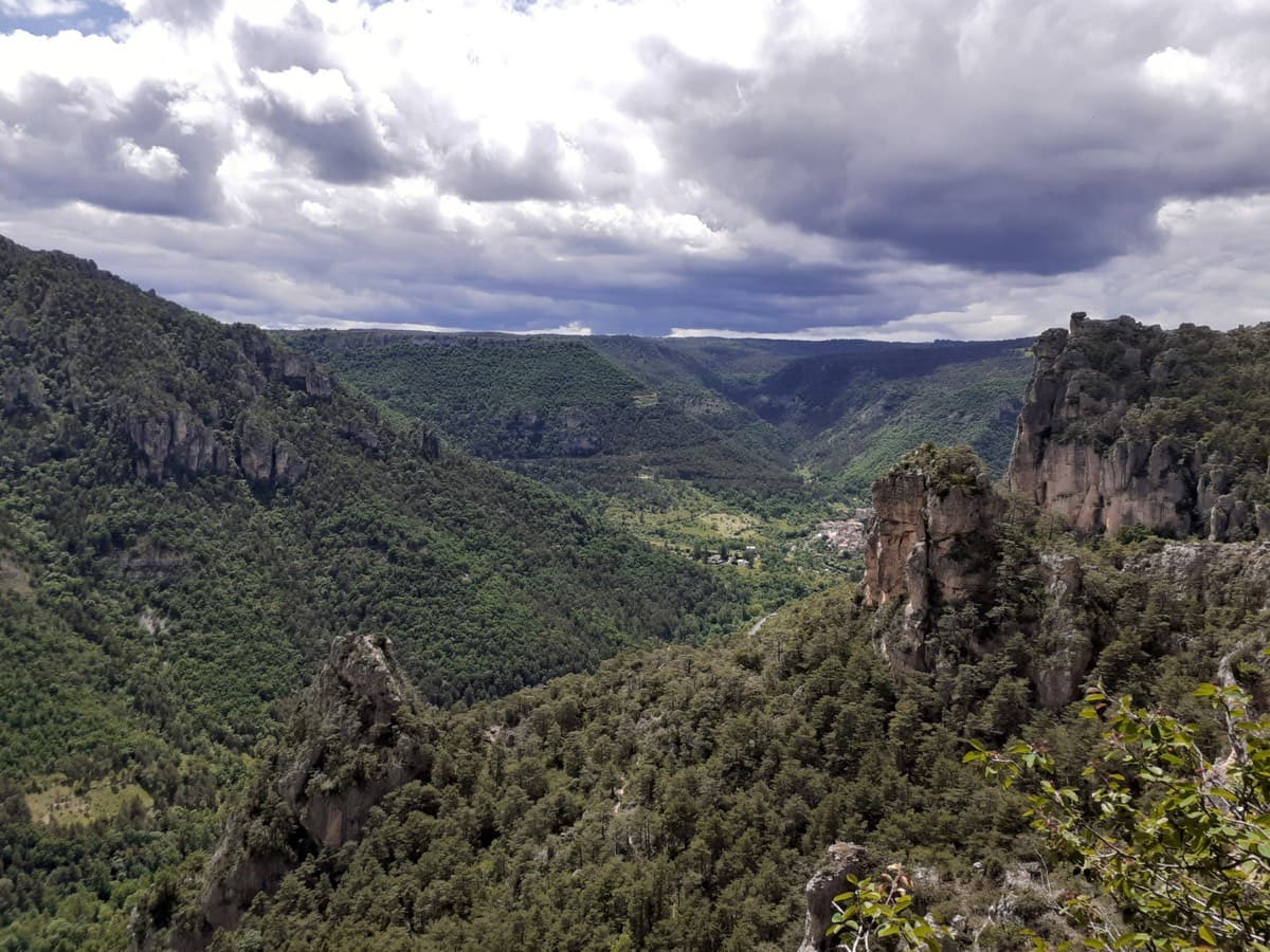
Looking down the Jonte gorge towards Le Rozier from the Ravin des Échos, photographed from Zébulon

France · Gorges de la Jonte

Zébulon

Probably the most approachable multipitch in the Jonte: four pitches of grade 3 and 4 on excellent, juggy rock up the right side of a pillar, with solid chained belays where leader and second stay in sight. Vultures circle past by late morning. The walk-off needs a little care.

4c4 pitches100 m
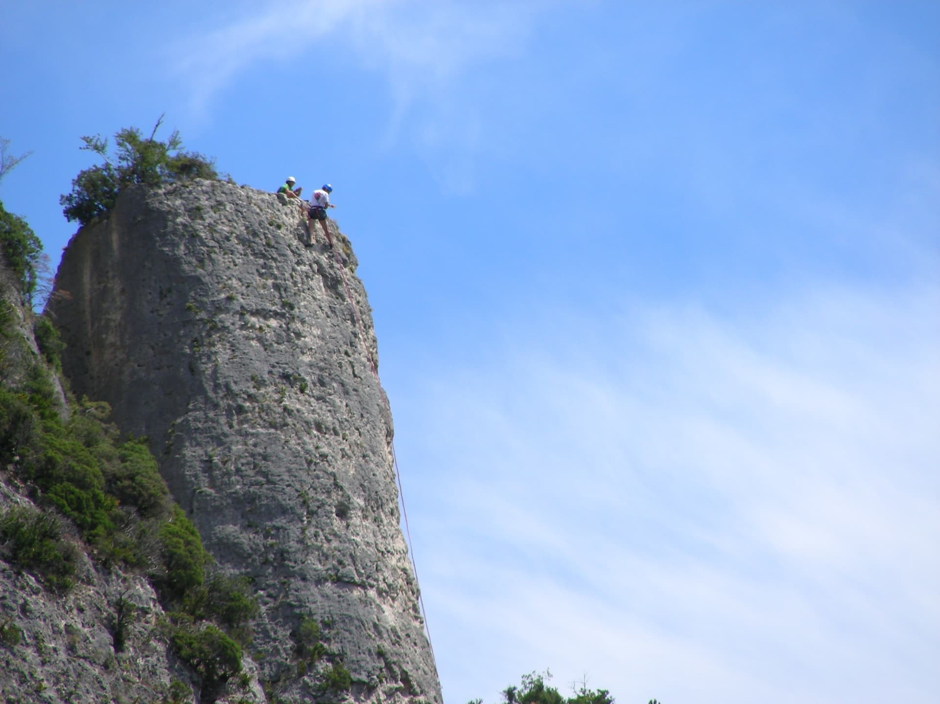
Climbers on the flat summit of the Bitard pillar, Gorges de la Jonte

France · Gorges de la Jonte

Le Bitard

The pillar that gives the sector its name, climbed in four short pitches on grey, well-featured rock. The third pitch is a sustained vertical crack and the best of the route. It is the usual first multipitch for visitors because the bolts are closer than elsewhere in the gorge.

5c4 pitches100 m

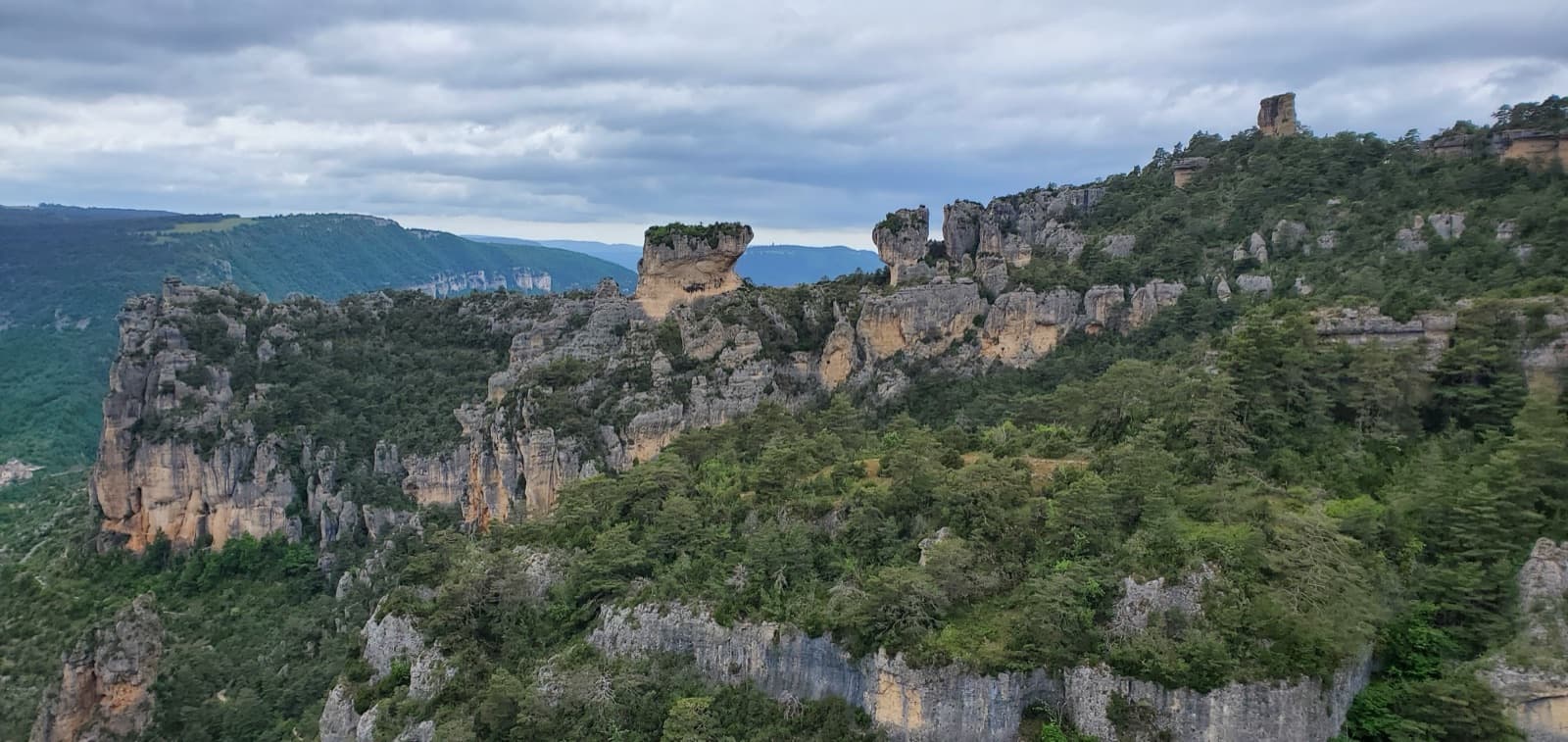
A view of the region, not this route's wall. The cliffs and rock towers of the Jonte gorge seen from the top of Zébulon.

France · Gorges de la Jonte

Le Jardin Enchanté

A four-pitch face route in the Bitard sector that starts easily and then asks for careful footwork on a traversing slab and a steeper wall of flakes. Freshly rebolted in 2022, but you still climb between the bolts. Very popular with groups.

5c4 pitches130 m

Read the cautions

The wall of the Fusée sector seen from the foot of Gallo Loco

France · Gorges de la Jonte

Gallo Loco

Five pitches beside the Fusée monolith, built around a superb 35 to 40 m corner that ends under a big roof and escapes left across a wildly exposed but easy traverse. Rebolted in 2012 and better protected than most routes here. Rated a must at the grade by several recent parties.

6a5 pitches120 m

Around 5c+ · about 5 pitches

Similar elsewhere

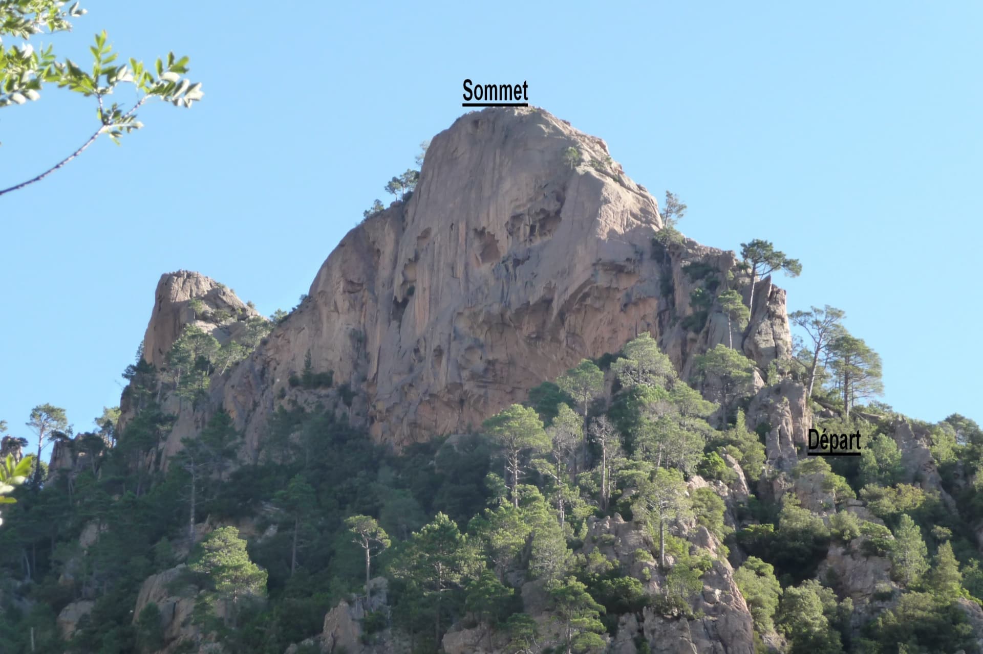
The Dente di a Purcaraccia above the Purcaraccia valley, with the start and summit of the south arête marked

France · Bavella

Iznogoud (Arête S)

An easy friction-slab route up the south arête of a small granite tooth above the Purcaraccia cascades: a slab and corner, a walk, then two pitches of clean, airy slab climbed mostly on your feet, and a scramble to a summit with a huge view. Parties find the grades generous. The approach is a long, beautiful walk past the pools, with a rougher finish through maquis.

5c+5 pitches130 m

Read the cautions

Just below the hard moves of the final corner on Südwind, Nösslachwand

Austria · Ötztal

Südwind

Five pitches of juggy gneiss wall and arêtes on the left side of the Nösslachwand, finishing up a slightly overhanging corner that you bridge. Not very demanding but athletic for the grade, with the crux right at the top.

5c+5 pitches150 m

Setting off on the second pitch of Tante Ju

Switzerland · Glarus (Brüggler)

Tante Ju

Five pitches beside the big corner below the summit, topping out right at the Brüggler's summit cross. The first pitch is the 5c+ crux and the last has a single 5c move; the middle is easier and not very sustained, with a short vegetated traverse.

5c+5 pitches200 m

Committing

A view of the region, not this route's wall. The Schneekar cirque and the north side of the Treffauer in the Wilder Kaiser; the route climbs the lower rocks of this flank, but the exact line is not marked.

Austria · Wilder Kaiser

Running Muschi

A short climb on good to very good rock on the sunny side of the Kaiser above Ellmau. Rough slabs alternate with short steep passages, and a fine steep pillar provides the finish and the one move of 6-/6. Most of it is around UIAA 5 or easier.

5c+5 pitches135 m

Compiled from published sources and last verified October 2026. Bolts, anchors and access change. Climbing is dangerous and you are responsible for your own decisions: check a current topo and read the disclaimer.