Multipitch Atlas

Südwind

Nösslachwand, Längenfeld (Au) · Ötztal · Austria

Bail with caveatsBolting confidence: high

Five pitches of juggy gneiss wall and arêtes on the left side of the Nösslachwand, finishing up a slightly overhanging corner that you bridge. Not very demanding but athletic for the grade, with the crux right at the top.

Just below the hard moves of the final corner on Südwind, NösslachwandPhoto: Théo Giani · CC BY-NC-ND 3.0

Photo

Just below the hard moves of the final corner on Südwind, NösslachwandPhoto: Théo Giani · CC BY-NC-ND 3.0
Hardest pitch
5c+
Pitches
5
Length
150 m
Approach
15 min
Aspect
SW
South-west-facing
Rope
1×60 m

The route

Overview

A short, well-bolted outing on the big gneiss wall at Au, suited to a half-day. The first two pitches are easy; pitches 3 and 4 are steep and juggy, and the last pitch gives the crux in a slightly overhanging corner with a technical exit. Approach and descent are well marked. A French party in 2025 found the pitches athletic for their grades. Climbers Paradise warns that the last pitch is demanding and has some loose rock.

The climbing

Pitch by pitch

Pitches of Südwind
PitchGradeLengthNotes
P13a30 mFrom the left side of the small terrace climb up and left to a broad ledge with a big tree; the chain belay is at the far left of the ledge and hard to see. This belay can also be reached by fixed ropes. Camptocamp grades the pitch 4b.
P24a27 mSlightly right, then straight up to a good ledge with some loose stones. Camptocamp gives 4c and 35 m.
P35a33 mGo round the block holding the two belays on its right; the route is the left-hand line. Steep and athletic, with arêtes, to a hanging belay. Camptocamp gives 5b/c.
P45c28 mA hard start left of the belay, then athletic climbing on plenty of holds with a fine view. Camptocamp gives 5b and found it a little easier than pitch 3.
P55c+22 mThe crux. A hard but well-protected start left of the belay, an easy traverse right, then a slightly overhanging corner on big holds that you can bridge, with a technical exit. Climbers Paradise notes some loose rock.

Getting there

Approach

To the parking

Leave the A12 at the Ötztal exit and drive up the valley through Umhausen. After the village the valley narrows; where it widens again, at Au just before Längenfeld, a small sewage works with a chapel stands on the left. Park on the signed gravel car park on the bank of the Ötztaler Ache, opposite the works; do not park at the chapel or the recycling yard. By public transport, take the train to Ötztal-Bahnhof and the bus to Au (Längenfeld).

On foot · about 15 min

From the car park go through the cycle-path underpass to the sewage works on the other side of the road, then left on the hiking path towards Wiesle. About 50 m after a wayside shrine, at a clearing, a clear track marked by a small cairn branches right to the foot of the wall and a rock platform. Climb onto the platform and go past the Sonnenblume start (a stone with a sunflower glued to the rock); the route begins there and is named on a metal plate. Do not take the very first faint track right from the path, which leads awkwardly to the sport crag. About 15 minutes.

Map of the walk-in

  • Route base
  • Parking

Loading map

The point marks the base of the route.

Coordinates · route base

47.10930, 10.95380

Parking

47.10560, 10.95314

Signed car park by the Ötztaler Ache at Au

Point from bergsteigen.com map marker (route start, approximate); camptocamp crag waypoint 1791635 agrees within 40 m

For your phone or watch

Download GPX

Contains the route point and parking. Opens in most mapping apps and GPS watches.

Points are compiled from published sources, with the precision stated above. They were not surveyed on the ground: check them against a current topo.

Getting down

Descent

From the route book at the top follow a ledge left along a fixed rope, continue along ledges and fixed ropes, and finish down a path to the hiking trail. Follow the marked trail in zigzags back to the car park. Climbers Paradise describes the way as marked with orange dots and gives 20 minutes; bergsteigen.com gives 30.

Retreat

Bailing off the route

Bail with caveats

Belays are on chains and pitches are 22 to 33 m, so a 60 m rope reaches each belay below (inferred; no source describes abseiling). A 2025 party retreated in rain after one pitch, and the first belay is linked to the ground by fixed ropes.

Retreat from
After pitch 1 by the fixed ropes (reported). Higher up, belay to belay on the chains (inferred).
Point of no return
None documented.
Carry
A 60 m rope.
Basis
Part stated, part inferredChain belays and fixed ropes are from camptocamp; the one-pitch retreat is from a 2025 camptocamp outing; abseiling from higher belays is inferred from pitch lengths.

Partly inferred from the route facts

Safety

Hazards

  • The route is close to a water streak: in strong wind the lower part can be damp, and it is best climbed after a dry day.
  • Some loose rock on the last pitch.
  • The belay after pitch 1 is hidden at the far left of the ledge.

Sun and weather

Conditions

West to south-west facing gneiss between about 1200 and 1370 m. Climbers Paradise gives June to September as the best season. The routes sit beside a water streak, so the lower pitches are often damp: start only after a dry day. Climbers Paradise says the west-facing Roxette sector of the same wall gets the sun from about 15:00 in summer, so expect shade in the morning here too (inferred).

Usual season · Jun to Sep

Sun on the wall · SW-facing

Working out the sunlit hours for this month.

  • January: not yet worked out
  • February: not yet worked out
  • March: not yet worked out
  • April: not yet worked out
  • May: not yet worked out
  • June (usual season): not yet worked out
  • July (usual season): not yet worked out
  • August (usual season): not yet worked out
  • September (usual season): not yet worked out
  • October: not yet worked out
  • November: not yet worked out
  • December: not yet worked out

Sun on the wallDaylight, wall in shade● Usual season

Estimated from the wall's aspect only. Ignores surrounding terrain, gullies and the wall's exact shape. Clock times are local to the wall (Central European time), for the 15th of each month.

Monthly climate averages for Ötztal, 1991-2020
MeasureJanFebMarAprMayJun (usual season)Jul (usual season)Aug (usual season)Sep (usual season)OctNovDec
Mean daily high °C−025813171919161251
Mean daily low °C−10−8−4−1379961−5−9
Rain days 1 mm or more121215162022222115131313

● marks the usual climbing season. Averages for 1991-2020 at about 1267 m. Area climate from Open-Meteo reanalysis. Temperatures are adjusted to the height of the crag; rain comes from a grid cell of about 10 to 25 km, and summer highs on sea cliffs can read a few degrees low. The wall and valley can differ. Data: Open-Meteo, CC BY 4.0.

What to carry

Gear

12 quickdraws (Climbers Paradise says about 15), a 60 m single rope or two ropes, helmet.

Checklist

Quickdraws
12
Rope
1×60 m
Helmet
One each

Derived from the route data; check it against a current topo

From climbers

Reader reports

Reader reports are not being collected yet. Until they are, check a current topo and the local club or guidebook publisher for recent changes to Südwind.

Worth knowing

Tips

  • The first two pitches are shared with Schwarze Madonna, which branches right at a double chain belay.
  • Allow about 1 hour 45 minutes for the climbing.
  • If the first pitch is wet you can reach the first belay by the fixed ropes, as a 2025 party did.

Open questions

Where sources disagree

  • Pitch grades: Climbers Paradise gives 3a, 4a, 5a, 5c, 5c+; camptocamp gives 4b, 4c, 5b/c, 5b, 5c+ and stresses that the last pitch is hard for the grade. bergsteigen.com gives UIAA 6 with one hard move.
  • Length: 150 m on bergsteigen.com, 140 m on Climbers Paradise, 150 m of pitches on camptocamp.
  • Quickdraws: 12 on bergsteigen.com and camptocamp, about 15 on Climbers Paradise.
  • Aspect: south-west on bergsteigen.com and camptocamp, west on Climbers Paradise.

Provenance

Sources

Same area

More in Ötztal

All routes in Ötztal
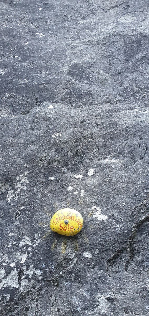
The painted stone that marks the start of Strada del Sole at the foot of the Nösslachwand

Austria · Ötztal

Strada del Sole

The best-known long route at Nösslach: steep, well-travelled gneiss slabs low down, a zigzag through the big roof zone in the middle, and more slab to finish. Two pitches of about 6b to 6b+, the rest around 6a.

6b+7 pitches200 m
A view of the region, not this route's wall. The painted stone that marks the start of Strada del Sole at the foot of the Nösslachwand

Austria · Ötztal

Caipirinha

A mix of slabs and steep, juggy passages in the Sonnenblume sector, mostly around 5b to 5c+. The one hard move is a small roof on pitch 4 (6b+), which goes easily on aid.

6b+5 pitches170 m

A view of the region, not this route's wall. The painted stone that marks the start of Strada del Sole at the foot of the Nösslachwand

Austria · Ötztal

Linas Traumreise

Steep, exposed gneiss left of the Reinhard Schiestl via ferrata, finding a way between huge roofs. The cruxes are the steep slabs of pitches 5 and 6 (6c). Stiffly graded, and the abseil descent is not for everyone.

6c8 pitches195 m

A view of the region, not this route's wall. The painted stone that marks the start of Strada del Sole at the foot of the Nösslachwand

Austria · Ötztal

Sonnenblume

The multipitch classic of the Nösslachwand and the easiest line on its west face: seven short pitches of gneiss slab beside a water streak, improving with height, with a few steep wall moves and an arête crux. Polished in places.

5c+7 pitches160 m

Around 5c+ · about 5 pitches

Similar elsewhere

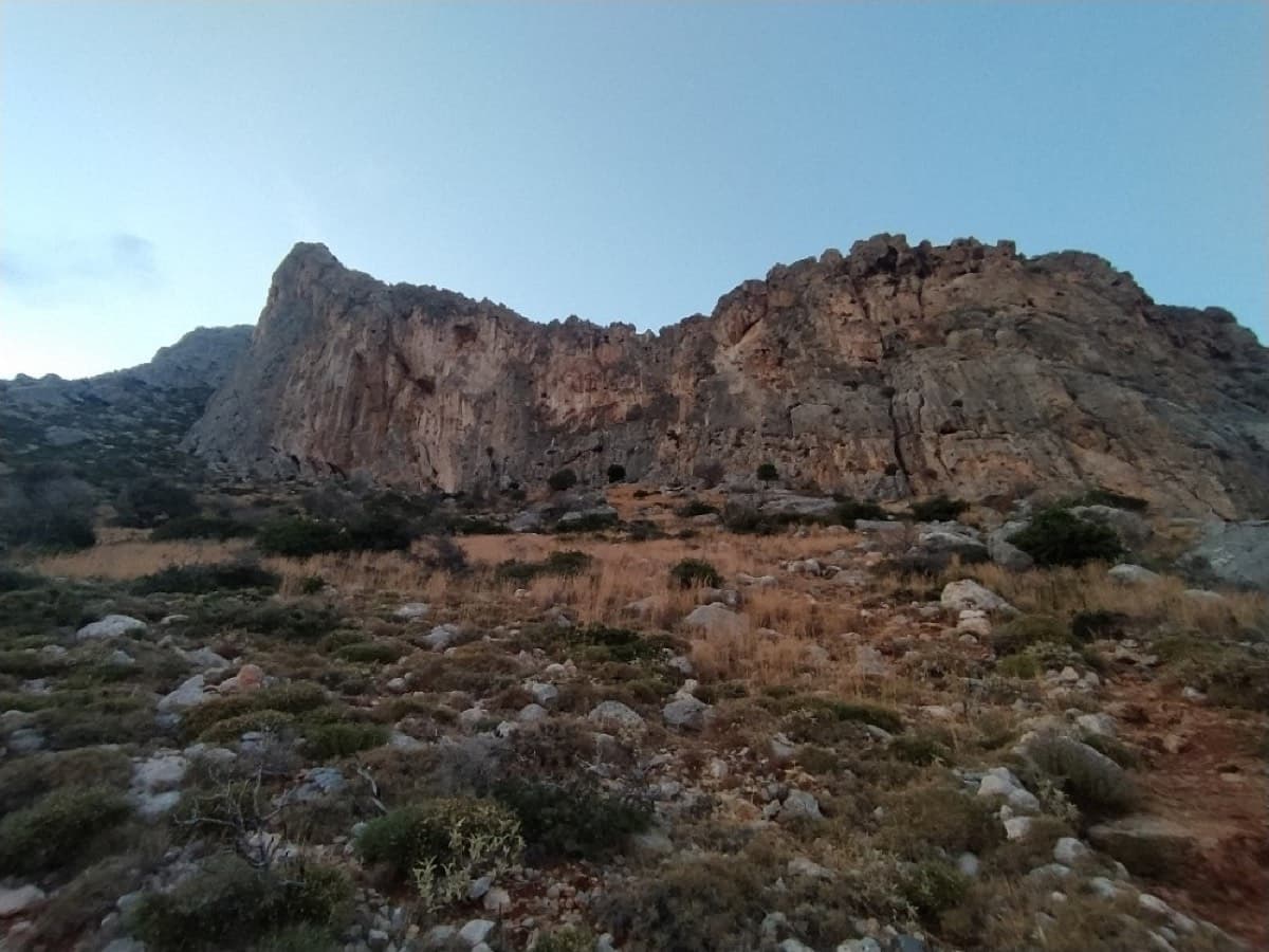
The cliff above the Grande Grotta: 3 Stripes starts on the second-to-last spur on the left and finishes up the shaded wall

Greece · Kalymnos & Telendos

3 Stripes

Kalymnos's best-known introduction to multi-pitch: a series of steps and slabs, always with plenty of holds, finishing on top of the Grande Grotta. The upper pitches feel very exposed. Real pitch lengths are shorter than the guidebook says (20–25 m).

5c+6 pitches175 m

Committing

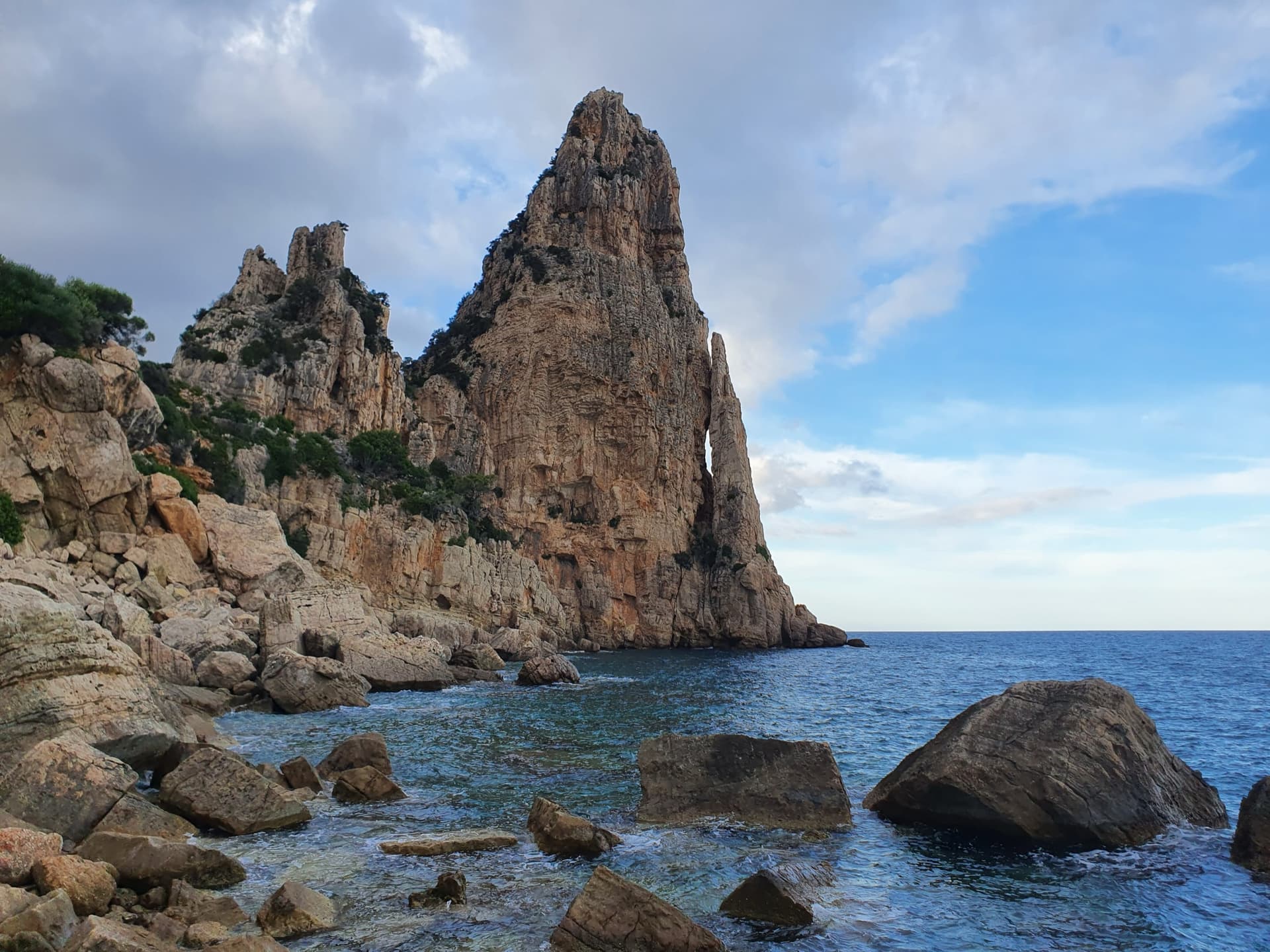
Pedra Longa, the 128 m limestone tower on the Baunei coast, seen from the shoreline rocks at its foot.

Italy · Sardinia

Signorina Fantasia

The easy way up the Pedra Longa sea stack: four short pitches starting almost at the water, with one steep and airy 5c+ pitch between friendlier 5b and 4c ground. Shorter and much easier than its neighbour Marinaio di Foresta, in the same setting.

5c+4 pitches90 m

The Zobolo cliff; Zobolo tou Laou is on the highest part, on the left

Greece · Cape Maleas (Peloponnese)

Zobolo tou Laou

An even, well-bolted line with sea views: a short corner and slab, steep walls and a superb final pitch with a juggy steep crux. The last belay is hanging and uncomfortable.

5c+4 pitches135 m

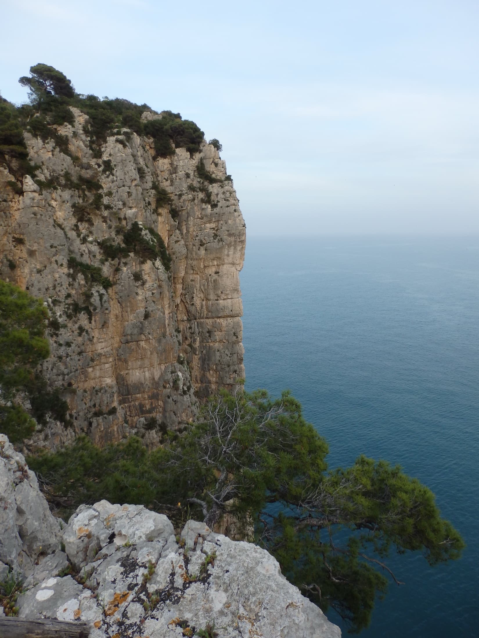
The limestone sea cliff of the Montagna Spaccata on Monte Orlando, Gaeta, seen from the park path. Via Beatrice is on these cliffs; the line is not marked.

Italy · Gaeta & Sperlonga

Via Beatrice

The easiest and one of the most repeated long routes on the Gaeta sea cliff. You abseil to a terrace just above the waves, traverse left, pull one polished 5c move and then climb chimneys and clefts beside a huge detached needle to the cliff top. The setting is the attraction: bridging in a chimney hanging over the sea.

5c5 pitches155 m

Committing

Compiled from published sources and last verified October 2026. Bolts, anchors and access change. Climbing is dangerous and you are responsible for your own decisions: check a current topo and read the disclaimer.