Multipitch Atlas

Running Muschi

Gildensteig (below the Regalpspitze), Ellmau · Wilder Kaiser · Austria

Bail not documentedBolting confidence: medium

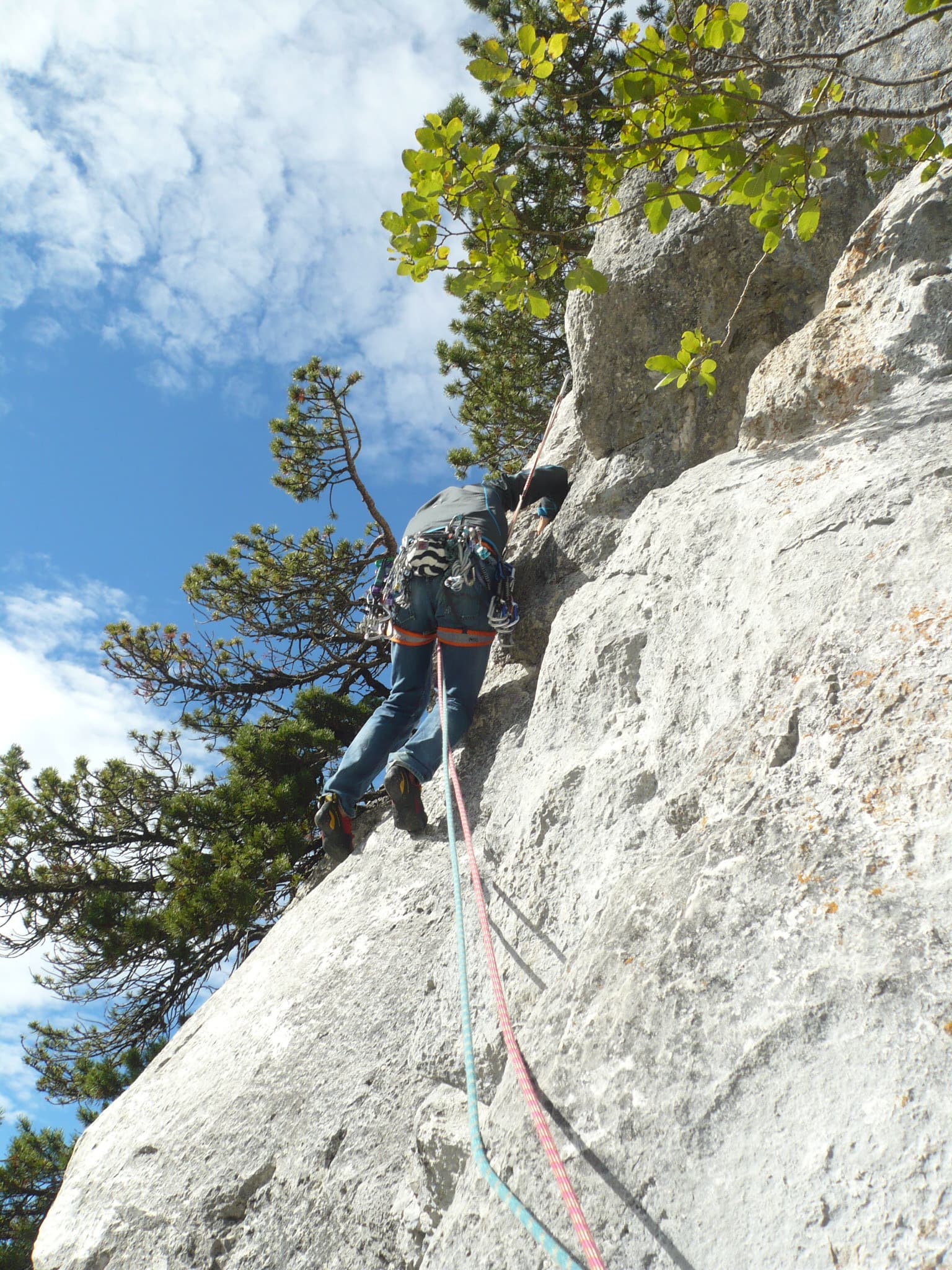
A short climb on good to very good rock on the sunny side of the Kaiser above Ellmau. Rough slabs alternate with short steep passages, and a fine steep pillar provides the finish and the one move of 6-/6. Most of it is around UIAA 5 or easier.

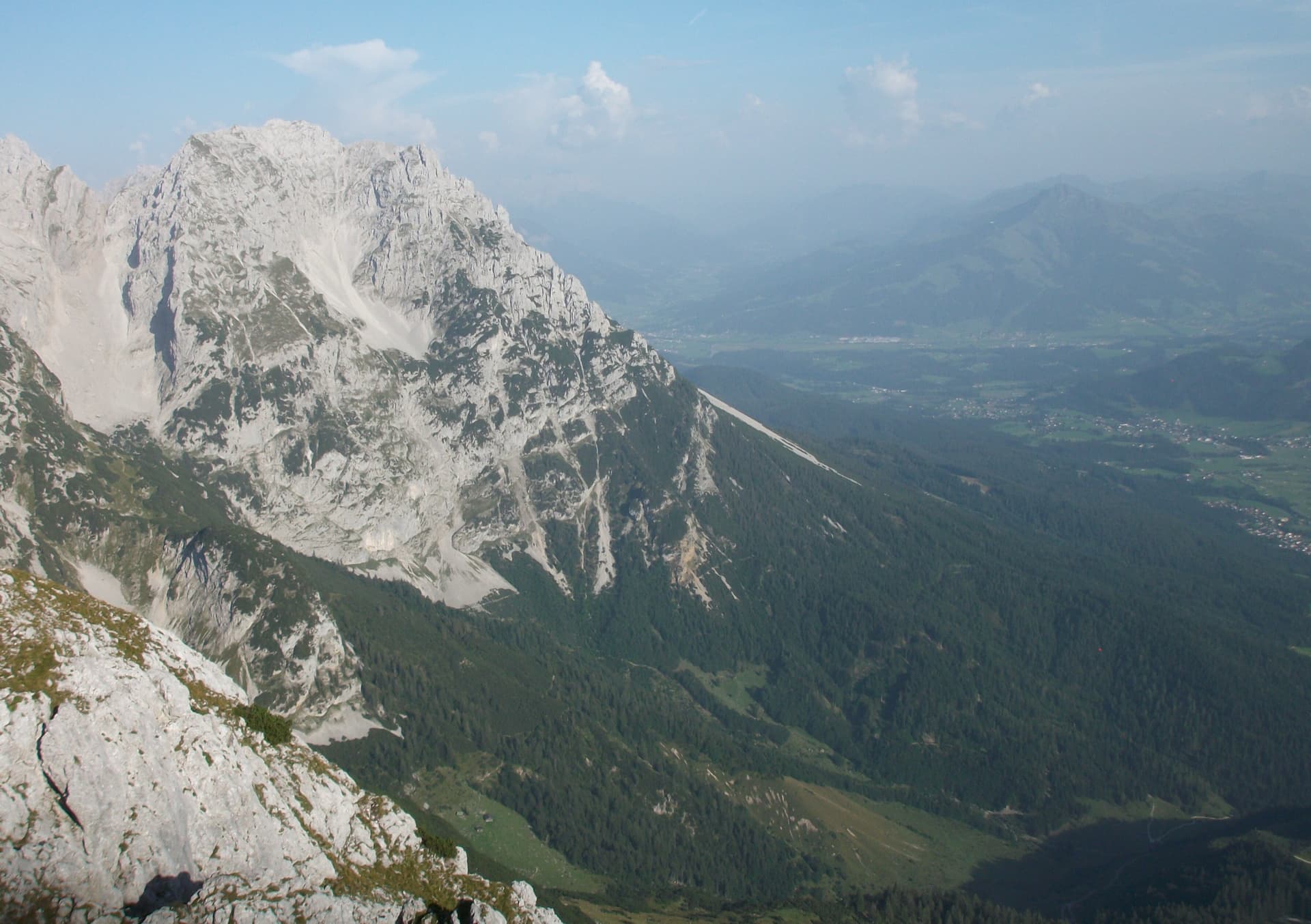
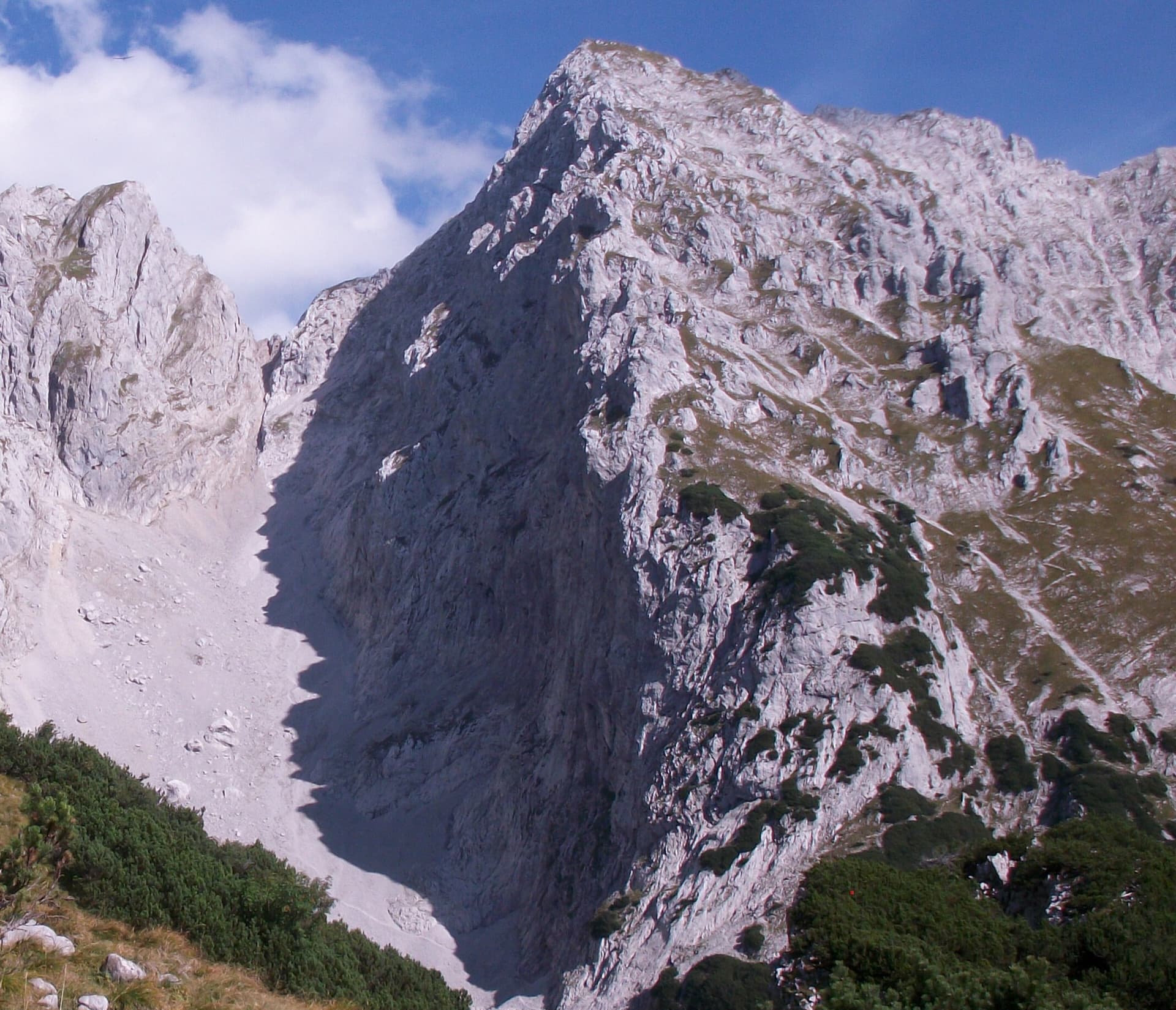
A view of the region, not this route's wall. The Schneekar cirque and the north side of the Treffauer in the Wilder Kaiser; the route climbs the lower rocks of this flank, but the exact line is not marked.Photo: Stefan.straub · CC BY-SA 4.0

Photo

A view of the region, not this route's wall. The Schneekar cirque and the north side of the Treffauer in the Wilder Kaiser; the route climbs the lower rocks of this flank, but the exact line is not marked.Photo: Stefan.straub · CC BY-SA 4.0
Hardest pitch
5c+
Pitches
5
Length
135 m
Approach
90 min
Aspect
S
South-facing
Rope
1×50 m
walk-off

The route

Overview

Running Muschi lies on the rocks beside the Gildensteig path, above the crag known as the Wildererkanzel and about 20 minutes from the Ackerlhütte. Franz Greiderer and Pluto Astl climbed it in June 2016. The route starts up a rough slab ramp, continues over slabs and a short ridge and ends on a steep pillar, which holds the crux. It is short, so it pairs well with routes at the Kleines Törl or serves as a spring or autumn outing of its own. The grade comes from the first ascensionists.

The climbing

Pitch by pitch

Pitches of Running Muschi
PitchGradeNotes
P1–A rough slab ramp, with a short steep section at the end.
P2–Slabs.
P3–A steep start.
P4–Along the ridge to the foot of the final pillar.
P55c+The steep pillar with the crux move of UIAA 6-/6. It goes well as one pitch; there is an intermediate belay if you want it.

Getting there

Approach

To the parking

From the Inntal motorway (exit Wörgl-Ost or Kufstein-Süd) drive to Ellmau and take the road to the Wochenbrunner Alm (1085 m). The last section is a toll road with a car park at the alm.

On foot · about 90 min

From the Wochenbrunner Alm take the forest road to the Gaudeamushütte. After the hut go a short way towards the Ellmauer Tor, then right towards the Ackerlhütte. On the crest near the Brennender Palfen (climbers' grave) turn left onto the Gildensteig and follow it until, above the Wildererkanzel crag, it comes close to the big rocks. For Running Muschi descend steeply along the rock for a short way. The start is at a rough slab with a bolt. The route Good Food starts a little higher up. Allow 1 h 30.

Map of the walk-in

  • Crag
  • Parking

Loading map

The point marks the crag, not the exact start of the route.

Coordinates · crag

47.55474, 12.33644

Parking

47.54169, 12.31923

Toll-road car park at the Wochenbrunner Alm, Ellmau (start of the bergsteigen.com GPX track)

Point from highest point of the bergsteigen.com GPX track for the route (about 1980 m)

For your phone or watch

Download GPX

Contains the route point and parking. Opens in most mapping apps and GPS watches.

Points are compiled from published sources, with the precision stated above. They were not surveyed on the ground: check them against a current topo.

Getting down

Descent

From the end of the route on the rock tower cross to the Gildensteig, which is in view, and follow it down to the right to the foot of the wall. Return to the valley by the approach. bergsteigen.com allows 1 h 30 in all.

Retreat

Bailing off the route

Bail not documented

Retreat is not documented. The route is climbed on a single 50 m rope and finished by a walk-off. Every belay has two bolts, and the pitches are short, so abseiling from a belay looks feasible, but whether the belays are linked or rigged for abseiling is not stated.

Retreat from
Two-bolt belays (stated); suitability for abseiling not stated.
Point of no return
Not documented. From the ridge before the final pillar the route is nearly over.
Carry
Maillons and cord. With one 50 m rope an abseil reaches 25 m, so check the pitch lengths on the topo before relying on it.
Basis
Inferred from the route factsbergsteigen.com states the belay bolts and the walk-off only.

Partly inferred from the route facts

Safety

Hazards

  • Snow on the approach path in spring.
  • The descent crosses from an exposed tower to the path; stay roped until you are on the Gildensteig if in doubt (inferred from the terrain description).

Sun and weather

Conditions

South facing; the highest point of the bergsteigen.com track is at about 1980 m. Snow can lie on the approach until late spring, and the route is not advised then. The source recommends it for spring and autumn once the path is clear.

Usual season · Jun to Oct

Sun on the wall · S-facing

Working out the sunlit hours for this month.

  • January: not yet worked out
  • February: not yet worked out
  • March: not yet worked out
  • April: not yet worked out
  • May: not yet worked out
  • June (usual season): not yet worked out
  • July (usual season): not yet worked out
  • August (usual season): not yet worked out
  • September (usual season): not yet worked out
  • October (usual season): not yet worked out
  • November: not yet worked out
  • December: not yet worked out

Sun on the wallDaylight, wall in shade● Usual season

Estimated from the wall's aspect only. Ignores surrounding terrain, gullies and the wall's exact shape. Clock times are local to the wall (Central European time), for the 15th of each month.

Monthly climate averages for Wilder Kaiser, 1991-2020
MeasureJanFebMarAprMayJun (usual season)Jul (usual season)Aug (usual season)Sep (usual season)Oct (usual season)NovDec
Mean daily high °C−4−315101415151171−4
Mean daily low °C−14−13−9−6−13551−3−9−13
Rain days 1 mm or more131317162121211816141314

● marks the usual climbing season. Averages for 1991-2020 at about 1717 m. Area climate from Open-Meteo reanalysis. Temperatures are adjusted to the height of the crag; rain comes from a grid cell of about 10 to 25 km, and summer highs on sea cliffs can read a few degrees low. The wall and valley can differ. Data: Open-Meteo, CC BY 4.0.

What to carry

Gear

A single 50 m rope, 10 quickdraws, slings and a helmet. No nuts or cams.

Checklist

Quickdraws
10
Rope
1×50 m (walk-off)
Helmet
One each
Maillons or spare karabiners
To leave behind if you retreat
Cord
Mentioned for retreat

Derived from the route data; check it against a current topo

From climbers

Reader reports

Reader reports are not being collected yet. Until they are, check a current topo and the local club or guidebook publisher for recent changes to Running Muschi.

Worth knowing

Tips

  • Good Food (UIAA 5, 80 m) and Bergsteigernudeln (7-, 135 m) are on the same rocks.
  • The Ackerlhütte is about 20 minutes from the route.

Open questions

Where sources disagree

  • Single source. No second site describes the route.
  • The pitch count of 5 is inferred from the bergsteigen.com photo captions (pitches 1, 2 and 3, the ridge, and a caption 'in the 5th pitch' on the final pillar). The topo is behind a login, so per-pitch grades and lengths are not published openly.
  • Dates: the page shows an information date of 4 November 2011 but gives the first ascent as 6 June 2016.
  • Protection: the header rates it 'good', one step below 'very good', while listing no additional gear.

Provenance

Sources

Same area

More in Wilder Kaiser

All routes in Wilder Kaiser
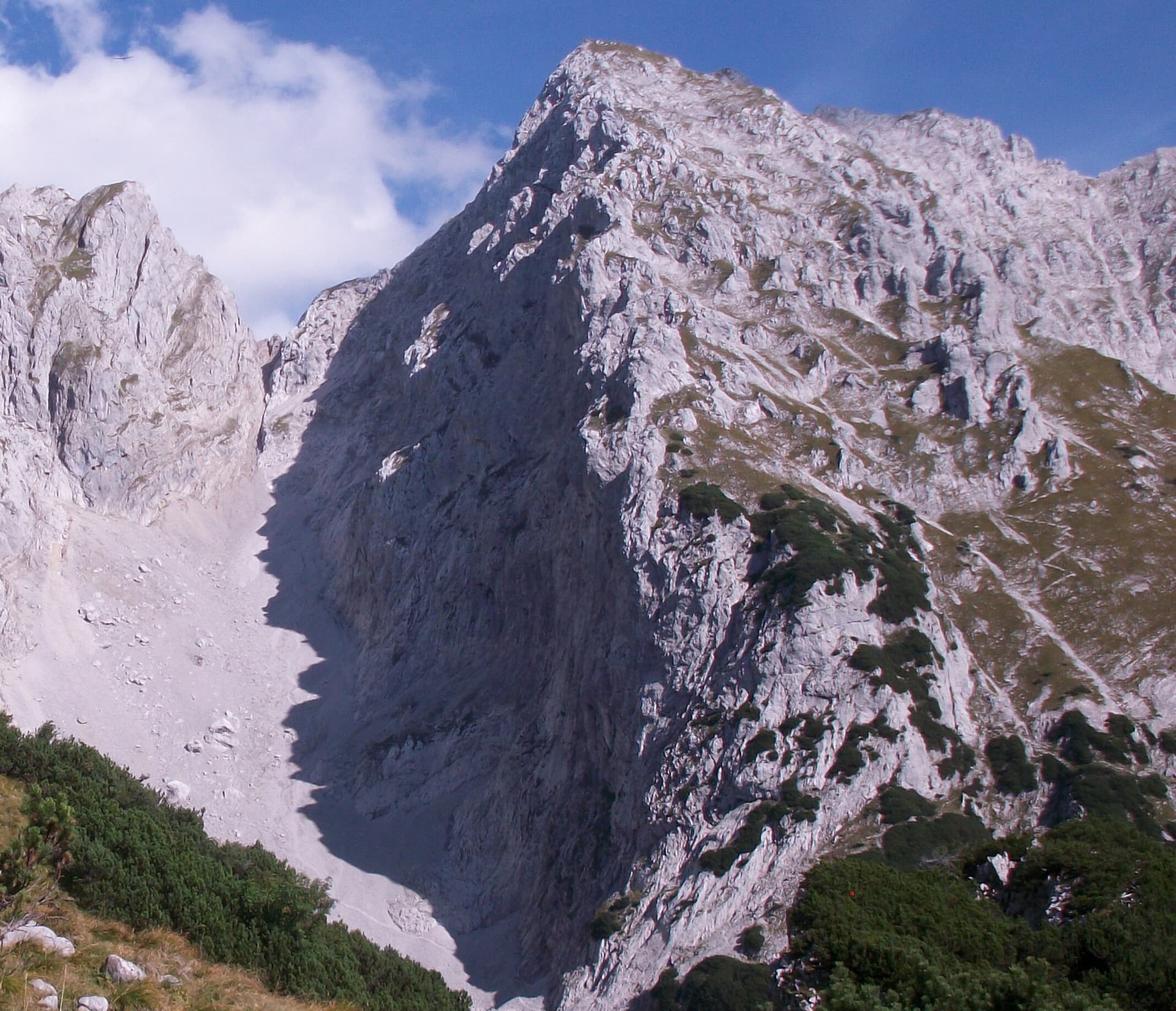
The Schneekar cirque and the north side of the Treffauer in the Wilder Kaiser; the route climbs the lower rocks of this flank, but the exact line is not marked.

Austria · Wilder Kaiser

König der Löwen

Nine pitches of easy slabs and water runnels beside the Treffauer normal route, UIAA 5 at most if you take the easy variant on pitch 4. Lots of bolts and friendly ground make it one of the most popular routes in the Schneekar. The rock is not solid everywhere and the walk-in is two hours.

5a9 pitches280 m
The Schneekar cirque and the north side of the Treffauer in the Wilder Kaiser; the route climbs the lower rocks of this flank, but the exact line is not marked.

Austria · Wilder Kaiser

Via Max

A short alpine sport route in the Schneekar that steepens as it goes: a scrambling start, fine water runnels on rough rock, then a smooth slab into an overhang on pitch 4. The crux is UIAA 7 to 7+ and can be aided on the bolts.

6c5 pitches180 m

The Treffauer seen from the west, with the Wegscheid pastures below; the Multerkar plinth routes are on the lower rock band of this side

Austria · Wilder Kaiser

RWI

With König der Löwen, the most climbed route on the walls above Scheffau. Nine pitches of slabs, steep walls and small pillars at UIAA 5 to 6, with one short squeeze through a cleft and a walking pitch across a big ledge. It faces south-west and suits spring and autumn days.

6a9 pitches295 m

A view of the region, not this route's wall. The Schneekar cirque and the north side of the Treffauer in the Wilder Kaiser; the route climbs the lower rocks of this flank, but the exact line is not marked.

Austria · Wilder Kaiser

Tour für Abenteurer

Also listed as Sappl-Zott. The heart of the route is a deep chimney that takes you about 50 m inside the mountain, well bolted and enjoyable where chimneys usually are not. Slab and wall pitches before and after, a traverse and a big flake on the ridge make a varied eight-pitch outing, finished by an airy abseil.

5c+8 pitches295 m

Around 5c+ · about 5 pitches

Similar elsewhere

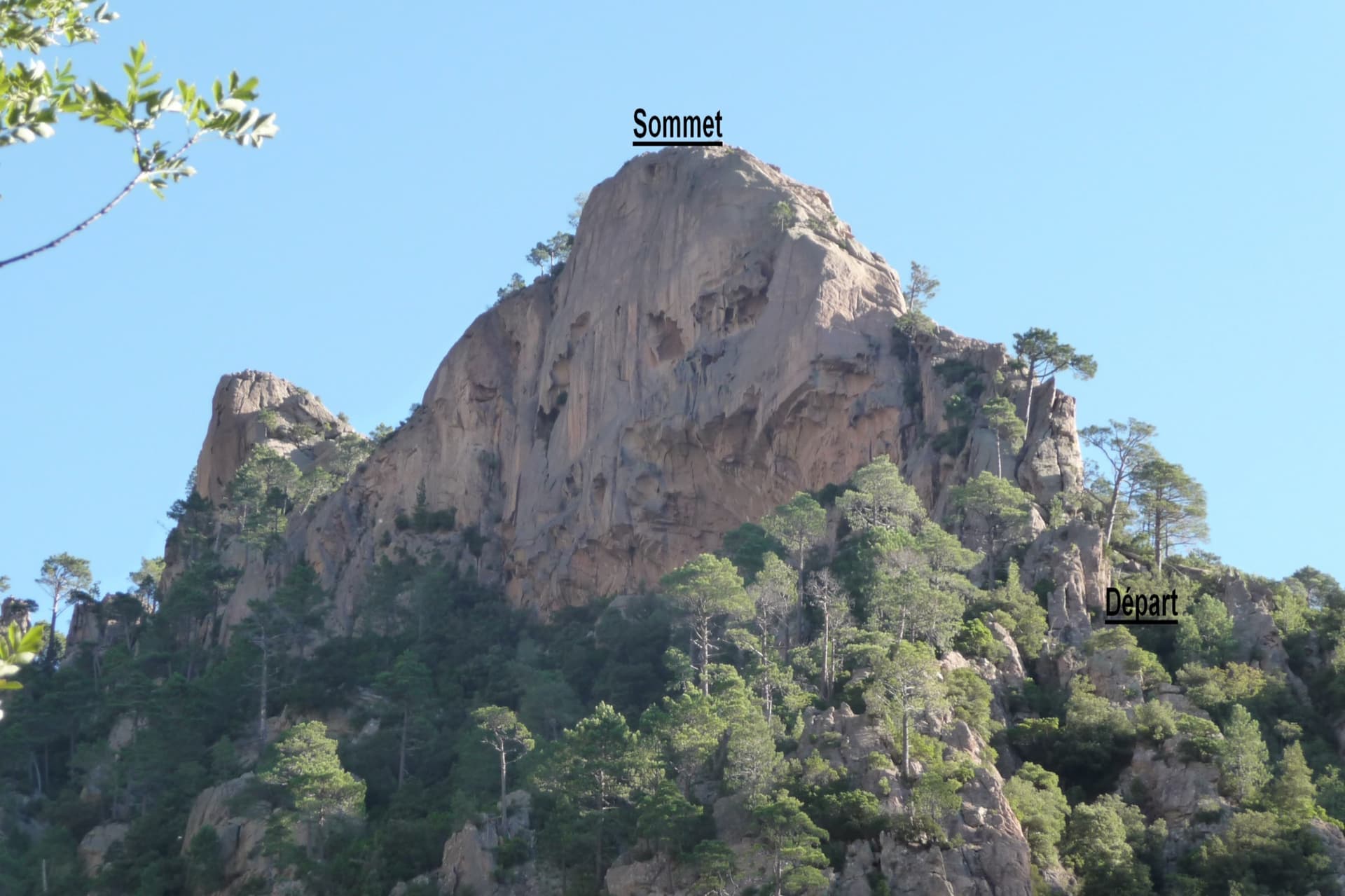
The Dente di a Purcaraccia above the Purcaraccia valley, with the start and summit of the south arête marked

France · Bavella

Iznogoud (Arête S)

An easy friction-slab route up the south arête of a small granite tooth above the Purcaraccia cascades: a slab and corner, a walk, then two pitches of clean, airy slab climbed mostly on your feet, and a scramble to a summit with a huge view. Parties find the grades generous. The approach is a long, beautiful walk past the pools, with a rougher finish through maquis.

5c+5 pitches130 m

Read the cautions

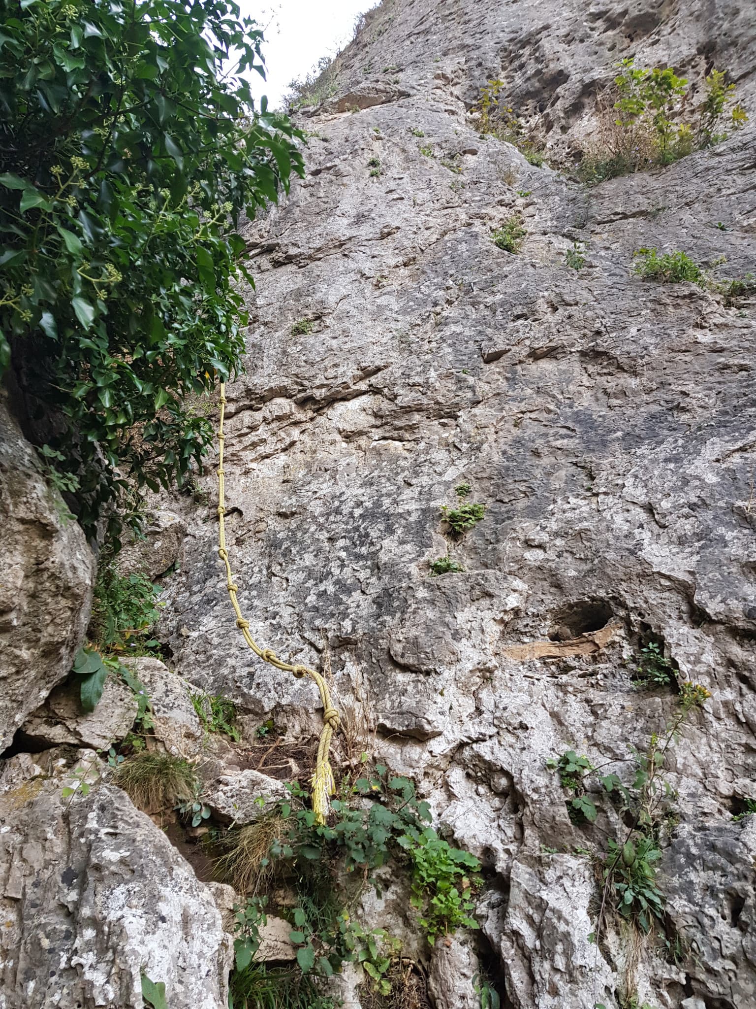
The start of La canicule t'emballe ?, just before the yellow fixed rope in the ravine

France · Gorges de la Jonte

La canicule t'emballe ?

A recent five-pitch route with unusually generous bolting for the Jonte. A long, fairly vertical 5c+ wall is followed by a traverse, a gully and an optional squeeze through a horizontal slot to a belay in a cave. Shaded in the morning and again from mid-afternoon.

5c+5 pitches110 m

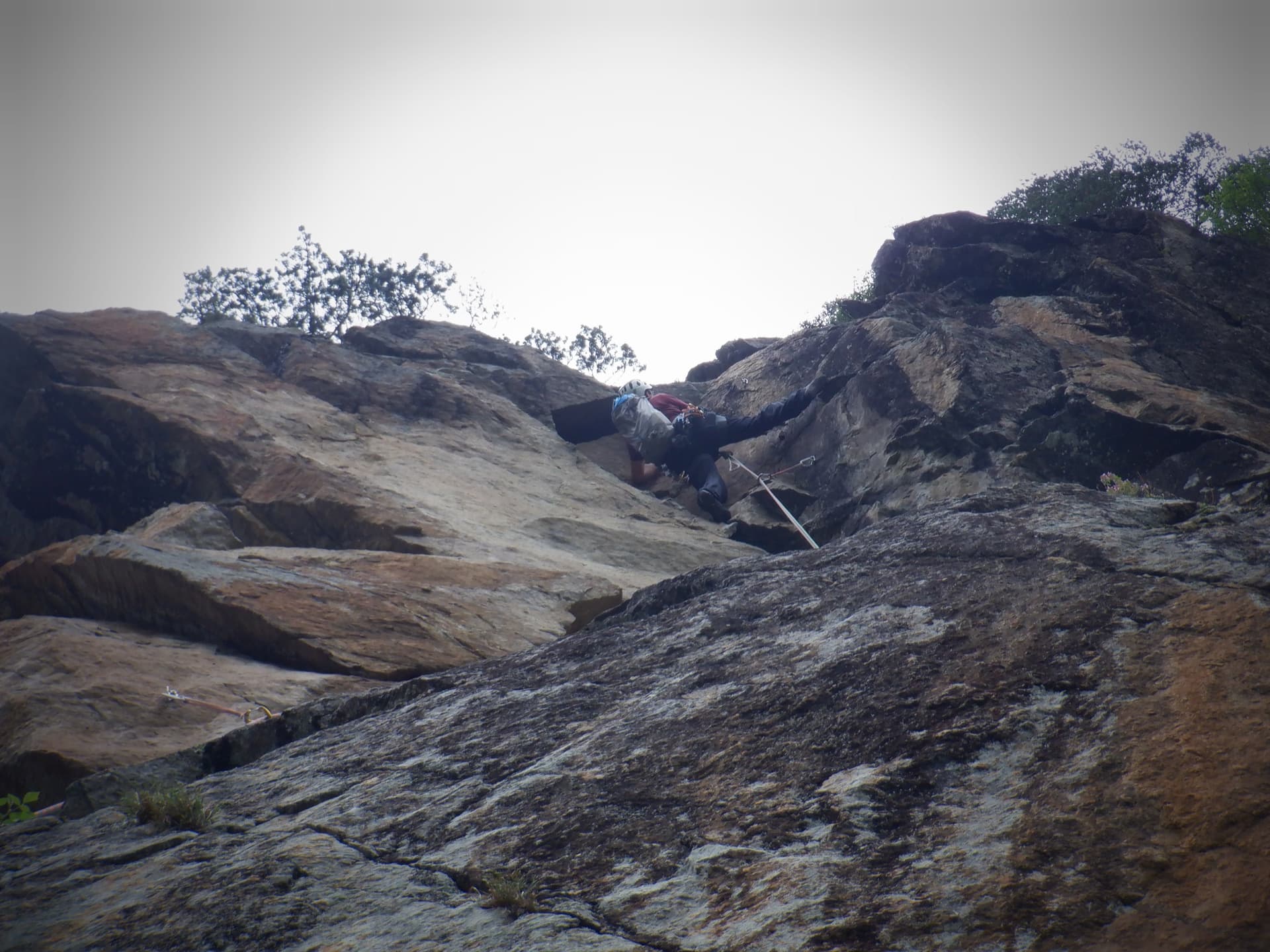
Just below the hard moves of the final corner on Südwind, Nösslachwand

Austria · Ötztal

Südwind

Five pitches of juggy gneiss wall and arêtes on the left side of the Nösslachwand, finishing up a slightly overhanging corner that you bridge. Not very demanding but athletic for the grade, with the crux right at the top.

5c+5 pitches150 m

Setting off on the second pitch of Tante Ju

Switzerland · Glarus (Brüggler)

Tante Ju

Five pitches beside the big corner below the summit, topping out right at the Brüggler's summit cross. The first pitch is the 5c+ crux and the last has a single 5c move; the middle is easier and not very sustained, with a short vegetated traverse.

5c+5 pitches200 m

Committing

Compiled from published sources and last verified October 2026. Bolts, anchors and access change. Climbing is dangerous and you are responsible for your own decisions: check a current topo and read the disclaimer.