Multipitch Atlas

Mérite alpin

Falaise du Dar (Col du Pillon) · Vaud Alps · Switzerland

Read the cautionsEasy to bailBolting confidence: medium

The first route opened on the wall right of the Dar waterfall: an easy pitch, two long pitches of steep technical slab and a fine vertical corner with a few athletic moves. Sustained for its grade on superb grey limestone, in the shade for most of the day.

The Falaise du Dar and its waterfall above the Col du Pillon; Mérite alpin climbs the wall to the right of the fallPhoto: alexduchablais · CC BY-SA 3.0

Photo

The Falaise du Dar and its waterfall above the Col du Pillon; Mérite alpin climbs the wall to the right of the fallPhoto: alexduchablais · CC BY-SA 3.0
Hardest pitch
6a+
Pitches
4
Length
130 m
Approach
45 min
Aspect
N
North-facing
Rope
2×50 m
Read before you go

Fully bolted but with 1990s spacing on steep slab, a torrent to cross and stonefall risk early in the season.

The route

Overview

The Falaise du Dar is an amphitheatre of water-worn limestone around the Dar waterfall, 45 minutes above the Col du Pillon, developed by the Remy brothers in the early 1990s. Mérite alpin gave its name to the shadier sector right of the fall and is the most approachable multipitch there: 4c, 6a, 6a and 6a+ in four pitches, with a 50 m third pitch. The climbing is steep slab that needs real footwork, then a corner. It is fully bolted, but in the style of its time, with some distance between bolts on the slabs.

The climbing

Pitch by pitch

Pitches of Mérite alpin
PitchGradeLengthNotes
P14c30 mAn easy pitch to a belay at the foot of a nearly vertical section. At the first belay stay right: another, harder route crosses to the left.
P26a30 mA technical slab climbed diagonally right, with the belay after a small corner.
P36a50 mA long, sustained pitch of technical slab to a belay on a ledge. Nearly 50 m; a 2026 party thought the slab a full 6a+.
P46a+30 mA very fine vertical corner with a few athletic moves. Sometimes a little damp, but the equipment is good. Belay on a ledge.

Getting there

Approach

To the parking

Drive from Aigle through Le Sépey and Les Diablerets to the Col du Pillon (1546 m), or come from Gstaad via Gsteig. There is a large car park at the pass by the Glacier 3000 cable-car station and a restaurant. By public transport take the train from Aigle to Les Diablerets, then the postbus or shuttle to the pass.

On foot · about 45 min

From the Col du Pillon follow the Prés-Jordan path for about 15 minutes. Shortly before the footbridge over the Dar torrent, at a boulder marked 'Dar' in yellow, turn left up a track to the foot of the cliff; 45 to 50 minutes in all. For this route you cross the torrent on boulders, which can be very difficult when it is high after heavy rain or late in the day on hot days; the route is to the right of the waterfall, with its name marked at the start.

Map of the walk-in

  • Crag
  • Parking

Loading map

The point marks the crag, not the exact start of the route.

Coordinates · crag

46.34003, 7.20755

Parking

46.35382, 7.20546

Col du Pillon car park and bus stop (camptocamp access waypoint 120212)

Point from camptocamp waypoint 41762 (Falaise du Dar)

For your phone or watch

Download GPX

Contains the route point and parking. Opens in most mapping apps and GPS watches.

Points are compiled from published sources, with the precision stated above. They were not surveyed on the ground: check them against a current topo.

Getting down

Descent

Abseil the route with two 50 m ropes.

Retreat

Bailing off the route

Easy to bail

Abseiling the route is the normal descent, so you can turn round at any belay with two 50 m ropes. The third pitch is nearly 50 m, which is why two full ropes are needed.

Retreat from
Any belay.
Point of no return
None.
Carry
Two 50 m ropes and slings in case the belay bolts are not linked.
Basis
Stated in the sourcesCamptocamp gives abseiling the route as the descent and a 2026 party confirms the need for two 50 m ropes.

Safety

Hazards

  • Stonefall while snow remains above the waterfall, and whenever the torrent is high.
  • The torrent crossing on boulders can be impassable or dangerous in high water; you also have to get back across.
  • Bolts are spaced on the slabs and the 6a moves between them are obligatory.
  • The corner of the last pitch is often damp.
  • Afternoon storms: one 2026 party got down just before the rain.

Sun and weather

Conditions

North-facing limestone at about 1900 to 2050 m, out of the sun from morning until about 14:00 in July and noticeably wetter and shadier than the Festival sector left of the waterfall. It is a heat-wave venue. Wait until the snow patches above the waterfall have melted, because until then stones come down with the meltwater; in practice July to September. The torrent swells in the afternoon.

Usual season · Jul to Sep

Sun on the wall · N-facing

Working out the sunlit hours for this month.

  • January: not yet worked out
  • February: not yet worked out
  • March: not yet worked out
  • April: not yet worked out
  • May: not yet worked out
  • June: not yet worked out
  • July (usual season): not yet worked out
  • August (usual season): not yet worked out
  • September (usual season): not yet worked out
  • October: not yet worked out
  • November: not yet worked out
  • December: not yet worked out

Sun on the wallDaylight, wall in shade● Usual season

Estimated from the wall's aspect only. Ignores surrounding terrain, gullies and the wall's exact shape. Clock times are local to the wall (Central European time), for the 15th of each month.

Monthly climate averages for Vaud Alps, 1991-2020
MeasureJanFebMarAprMayJunJul (usual season)Aug (usual season)Sep (usual season)OctNovDec
Mean daily high °C−6−4−126111313106−1−6
Mean daily low °C−15−14−10−7−32330−4−10−15
Rain days 1 mm or more131214141919191715131313

● marks the usual climbing season. Averages for 1991-2020 at about 2182 m. Area climate from Open-Meteo reanalysis. Temperatures are adjusted to the height of the crag; rain comes from a grid cell of about 10 to 25 km, and summer highs on sea cliffs can read a few degrees low. The wall and valley can differ. Data: Open-Meteo, CC BY 4.0.

What to carry

Gear

Two 50 m ropes. At least 15 quickdraws for the long third pitch, not counting the belays. Slings for the belays: on the neighbouring routes the two belay bolts are not linked. Helmet.

Checklist

Quickdraws
15
Rope
2×50 m
Helmet
One each
Abseil device and prusik
The descent or the retreat involves abseiling
Slings
Mentioned for retreat

Derived from the route data; check it against a current topo

From climbers

Reader reports

Reader reports are not being collected yet. Until they are, check a current topo and the local club or guidebook publisher for recent changes to Mérite alpin.

Worth knowing

Tips

  • A club party of four took 5.5 hours for the climb and abseils; a pair should need rather less.
  • It suits a half day in the afternoon shade during a heat wave.
  • If the torrent is too high, the routes on the left bank (Festival sector) are reached without crossing it.
  • Pitches 2 to 4 are the reason to come; the first is only an approach pitch.

Open questions

Where sources disagree

  • Aspect: north in the camptocamp route header, north-west for the cliff as a whole and on the tourist-office page.
  • Pitch lengths: only reported by a 2026 party (about 30 m each, with the third nearly 50 m), which adds up to roughly 140 m against the 130 m in the header.
  • Grade: the third pitch is 6a in the topo and felt 6a+ to that party.
  • Belay hardware: new belays were fitted in 2024 on Kinley, Holiday Sport and Planète brutale on the same cliff; no source says whether Mérite alpin was included.

Provenance

Sources

Same area

More in Vaud Alps

All routes in Vaud Alps
The Miroir d'Argentine above the larches of Solalex in evening light, cloud sitting on the ridge.

Switzerland · Vaud Alps

Remix

The bolted way up the Miroir d'Argentine: fourteen pitches of compact limestone slab, with the difficulties in the first four pitches and long, easy, run-out friction above. A big day out at a modest grade with a mountain walk-off. Do not underestimate it.

5c+14 pitches400 m

Read the cautions
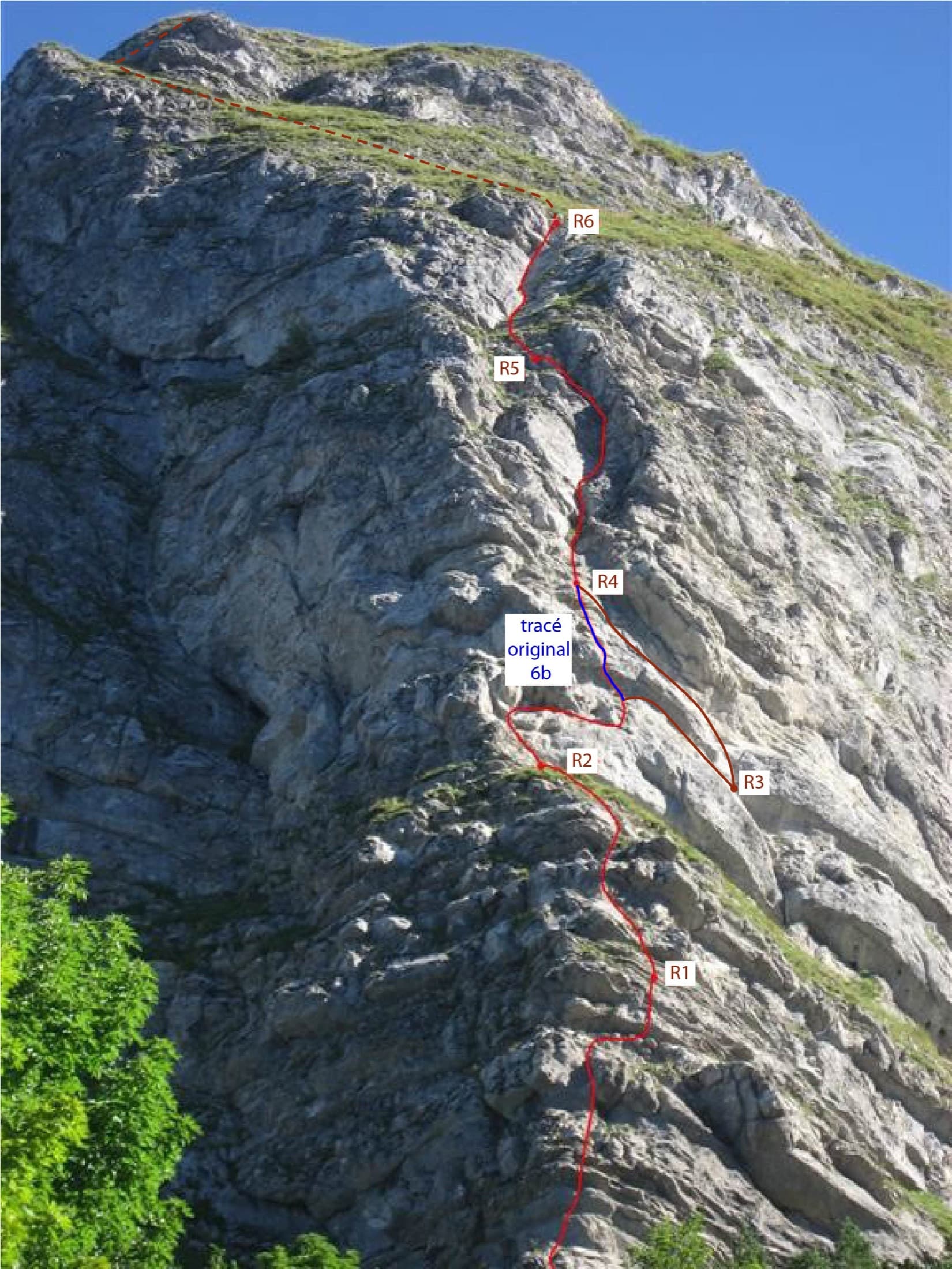
Photo-topo of Ace of Spades on the Dent de Jaman: the 2015 line in red, the original 6b variant in blue and the approximate summit exit dashed

Switzerland · Vaud Alps

Ace of Spades

Six short pitches up the west edge of the pillar on the Dent de Jaman, the limestone tooth above Montreux, with Lake Geneva at your back. Slopers low down, a delicate traverse, then a fine slab and two good corner pitches. Hugely popular, a short walk from a mountain railway halt.

5c6 pitches120 m

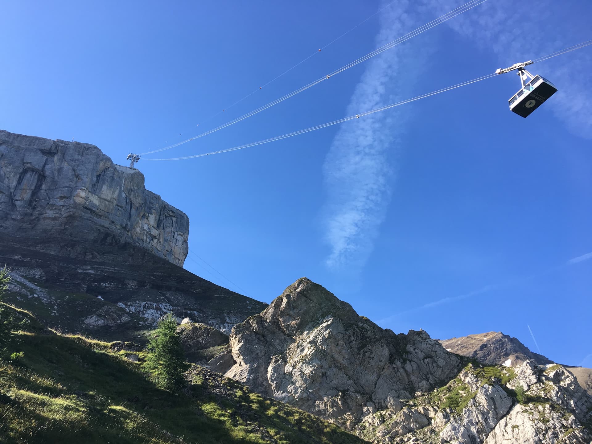
The Tête aux Chamois cliff under the Glacier 3000 cable car; the route climbs below the pylon

Switzerland · Vaud Alps

La diagonale du fou

Five short, varied pitches on compact limestone directly under the Glacier 3000 cable car, reached by a section of via ferrata. Not strenuous, generously bolted and friendly in grade. It tops out beside the cable-car station and the Diablerets hut.

6a5 pitches200 m

The Tour de Famelon above Leysin seen from the south

Switzerland · Vaud Alps

Dis-moi Céline

A climbing way up the Tour de Famelon above Leysin: two pitches up a small pillar, a walk across grass, then three pitches on a compact south wall with runnels and thin moves. Short pitches, grassy links and a stiff 6a to finish, in a fine setting.

6a5 pitches m

Read the cautions

Around 6a+ · about 4 pitches

Similar elsewhere

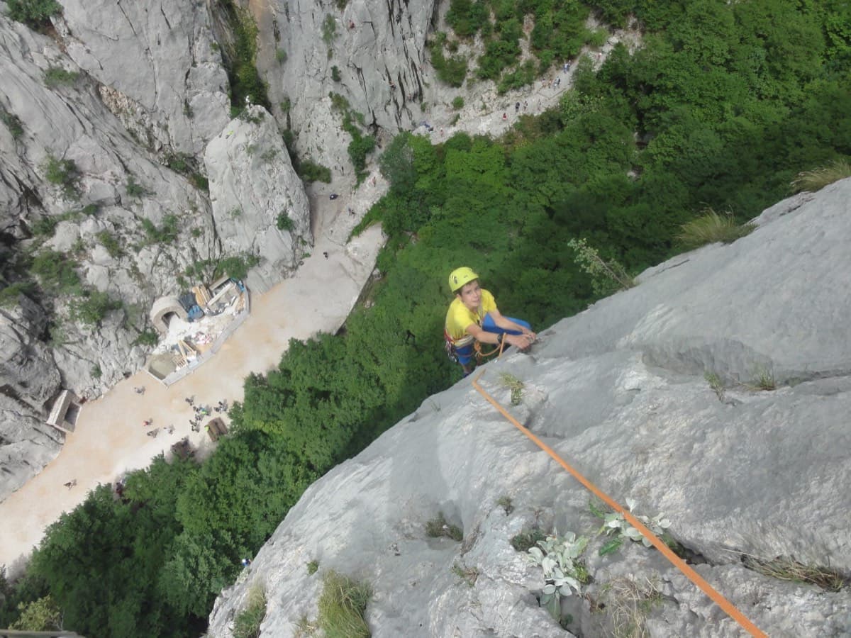
Climber on pitch 3 of Karamara Sweet Temptations, Veliki Ćuk, above the Paklenica canyon floor

Croatia · Paklenica

Karamara Sweet Temptations

A five-minute approach from the gorge café. There is a polished boulder-problem start, then wandering grooves and an airy traverse on the 6a+ third pitch.

6a+4 pitches110 m

Read the cautions

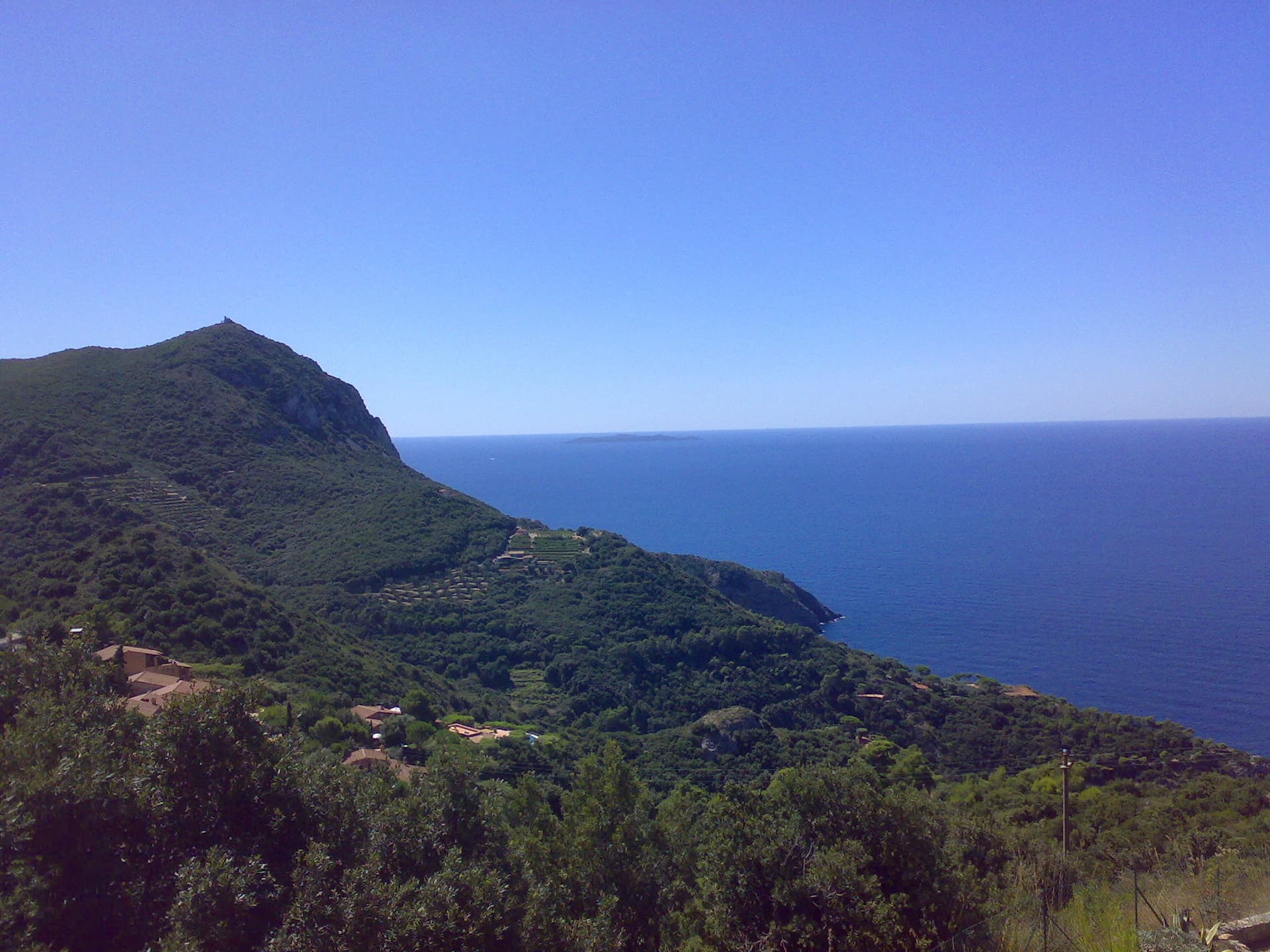
The headland of Capo d'Uomo on Monte Argentario with its watchtower on top, and the island of Giannutri on the horizon. The multipitch wall drops towards the sea below the tower; the routes are not visible in this view.

Italy · Monte Argentario

Stefy

The hardest of the short multipitch lines at Capo d'Uomo. Two approach pitches shared with the Via del Diedro lead to a sustained, technical 6a+ slab pitch that slants right on superb rock, then a varied 6a pitch up a smooth slab and a juggy bulge to the crest. The best climbing on this wall is at the top.

6a+4 pitches130 m

The Sierra de Callosa rising behind the houses of Redován; the La Pancha climbing sector is on this side of the range, a short walk above the village

Spain · Vega Baja (Orihuela & Callosa)

Todos los Santos

Four pitches up the dome of La Pancha, right above the houses of Redován. A slabby warm-up, a 6a+ pitch through a steep band on big holds, a fine technical wall, and a long last pitch of delicate face climbing that most people rate the best. Excellent rock and an urban outlook.

6a+4 pitches130 m

Mala Mojstrovka (left) and Nad Šitom glava (right) from the Vršič Pass in autumn; the routes are on the pale rock wall of Nad Šitom glava above the larches.

Slovenia · Vršič Pass (Julian Alps)

Rdeča pentlja

Beautiful plates and mini dolomite-style runnels, then a final corner. It makes a neat companion to its neighbours on the same face.

6a+4 pitches110 m

Compiled from published sources and last verified October 2026. Bolts, anchors and access change. Climbing is dangerous and you are responsible for your own decisions: check a current topo and read the disclaimer.