
Spain · Vega Baja (Orihuela & Callosa)
Código Vertical
A popular modern four-pitch classic on Pared Negra's compact grey limestone, around UIAA 6/6+ (about French 6a). Best on cool, sunny winter days.
6a4 pitches150 m
Sierra de Callosa, Redován (La Pancha) · Vega Baja (Orihuela & Callosa) · Spain
Bail with caveatsBolting confidence: high
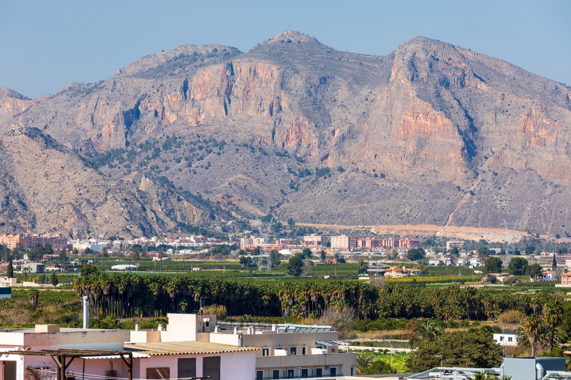
Four pitches up the dome of La Pancha, right above the houses of Redován. A slabby warm-up, a 6a+ pitch through a steep band on big holds, a fine technical wall, and a long last pitch of delicate face climbing that most people rate the best. Excellent rock and an urban outlook.
The route
La Pancha is the big limestone dome above Redován, covered in single-pitch sport routes with a handful of multipitch lines to the top. Todos los Santos is the most often described of them: four pitches at 6a+ maximum (6a obligatory), on rock that every report calls excellent. The crux is the second pitch, steep but on good holds; the third is a thin vertical wall and the fourth a long, elegant pitch at 5+. Names and grades are written at the foot of the routes here. The cliff faces south and is a winter venue.
The climbing
| Pitch | Grade | Length | Notes |
|---|---|---|---|
| P1 | 4+ | 15 m | From the plaque follow the first line of bolts up a slab with good edges to a comfortable belay in a small cave. The hangers were described as black and faded in 2012 and as painted blue in 2015. Camptocamp grades this pitch 5 and gives 30 m, continuing obliquely right past a first belay. |
| P2 | 6a+ | 35 m | The crux. Start right of the first bolt, cross a slightly loose section, pass a rib and a small roof that is airy but has good holds, then traverse right to the belay on a cramped ledge. The line of bolts continues straight up, so the move right to the belay is deliberate. Camptocamp gives 20 m and describes it as zigzagging. |
| P3 | 6a | 30 m | A fine, sustained wall with a 6a to 6a+ move, easing into a slightly overhanging, grassy corner. Belay on a large ledge. Camptocamp gives 20 m. |
| P4 | 5+ | 40 m | The whole pitch is visible from the belay: an easy slab, then a steep technical section on edges with few footholds, crux at mid-height, easing to a ledge on the left. A parallel line on the left is about the same grade and ends a little lower. Camptocamp gives 35 m. |
Getting there
Redován is a village in the Vega Baja, between Orihuela and Callosa de Segura. Drive to the sports centre (polideportivo) in the upper part of the village and use its car park.
15 to 20 minutes. From the top of the sports centre car park take the well-worn path marked with white and yellow paint, which climbs with wooden steps towards the cliff; a wooden sign part-way up points to the climbing area. The route name is on a plaque at the foot.
Loading map
The point marks the crag, not the exact start of the route.
Point from camptocamp waypoint 470941 (Redován)
Contains the route point. Opens in most mapping apps and GPS watches.
Points are compiled from published sources, with the precision stated above. They were not surveyed on the ground: check them against a current topo.
Coordinates: 38.12040, -0.90393 (crag)
Getting down
By abseil. A 2022 party made a single 50 m abseil from a station signposted from the top of the face and reached by a handline. A 2017 report from the neighbouring route describes the same descent in two steps: facing the village, go left following cairns and arrows chiselled in the rock, make a short abseil to a ledge, and continue left to a second abseil shared by the routes of the sector. You can also abseil the route itself: a 2012 party with a 70 m rope made four abseils (37, 30, 20 and 25 m) and took about an hour, using a sport-route anchor for the third.
Retreat
Bail with caveats
Every belay has a chain and a ring, and the route has been abseiled, so you can retreat from any stance. It is not a clean line: the belays are offset and one abseil ends at a sport-route anchor, so expect to clip bolts as directionals and to take your time.
Safety
Sun and weather
South-facing at low altitude (camptocamp gives about 100 m at the foot of the routes). A cool-season route: parties in October and November found it too hot. In late May the sun reaches the wall at about noon, so start early. The last belay is in full sun.
Sun on the wall · S-facing
Working out the sunlit hours for this month.
Sun on the wallDaylight, wall in shade● Usual season
Estimated from the wall's aspect only. Ignores surrounding terrain, gullies and the wall's exact shape. Clock times are local to the wall (Central European time), for the 15th of each month.
| Measure | Jan (usual season) | Feb (usual season) | Mar (usual season) | Apr (usual season) | May | Jun | Jul | Aug | Sep | Oct | Nov (usual season) | Dec (usual season) |
|---|---|---|---|---|---|---|---|---|---|---|---|---|
| Mean daily high °C | 16 | 18 | 20 | 23 | 26 | 31 | 33 | 33 | 29 | 25 | 20 | 17 |
| Mean daily low °C | 5 | 6 | 8 | 11 | 14 | 18 | 21 | 21 | 18 | 14 | 10 | 6 |
| Rain days 1 mm or more | 4 | 4 | 5 | 5 | 4 | 2 | 1 | 2 | 5 | 5 | 5 | 4 |
● marks the usual climbing season. Averages for 1991-2020 at about 27 m. Area climate from Open-Meteo reanalysis. Temperatures are adjusted to the height of the crag; rain comes from a grid cell of about 10 to 25 km, and summer highs on sea cliffs can read a few degrees low. The wall and valley can differ. Data: Open-Meteo, CC BY 4.0.
What to carry
14 to 15 quickdraws including one or two extendable ones for the zigzags. Two 50 m ropes or a single 70 m for the abseils. No cams or nuts needed.
Derived from the route data; check it against a current topo
From climbers
Reader reports are not being collected yet. Until they are, check a current topo and the local club or guidebook publisher for recent changes to Todos los Santos.
Worth knowing
Open questions
Provenance
Same area
Spain · Vega Baja (Orihuela & Callosa)
A popular modern four-pitch classic on Pared Negra's compact grey limestone, around UIAA 6/6+ (about French 6a). Best on cool, sunny winter days.
6a4 pitches150 m
Spain · Vega Baja (Orihuela & Callosa)
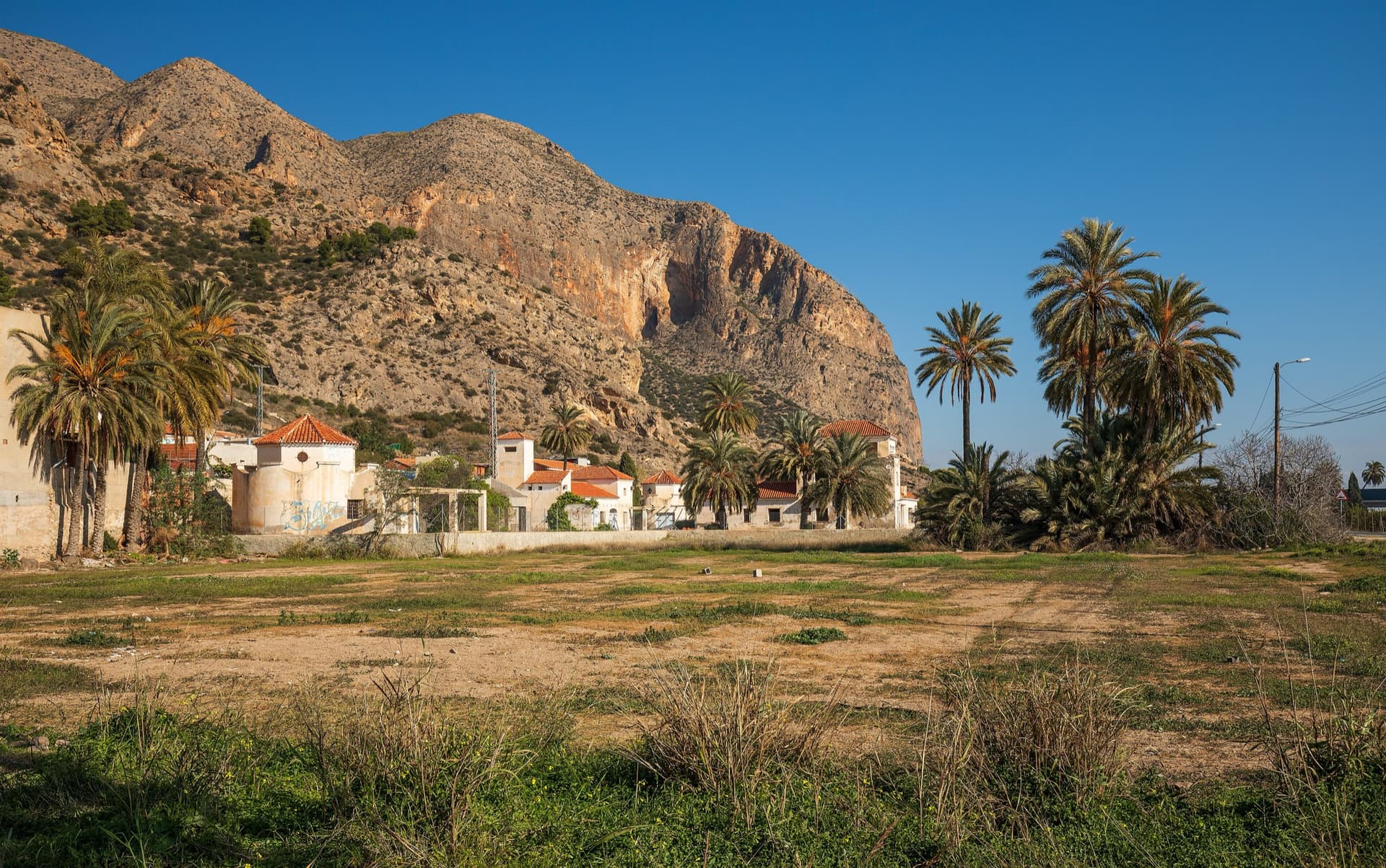
A long, steady V+ spur to the summit of the Sierra de Callosa on exceptional rock. Many terraces allow a safe retreat, which makes it good mileage for building multipitch experience. Check local seasonal climbing restrictions in the Sierra de Callosa.
5+9 pitches500 m
Read the cautions
Spain · Vega Baja (Orihuela & Callosa)
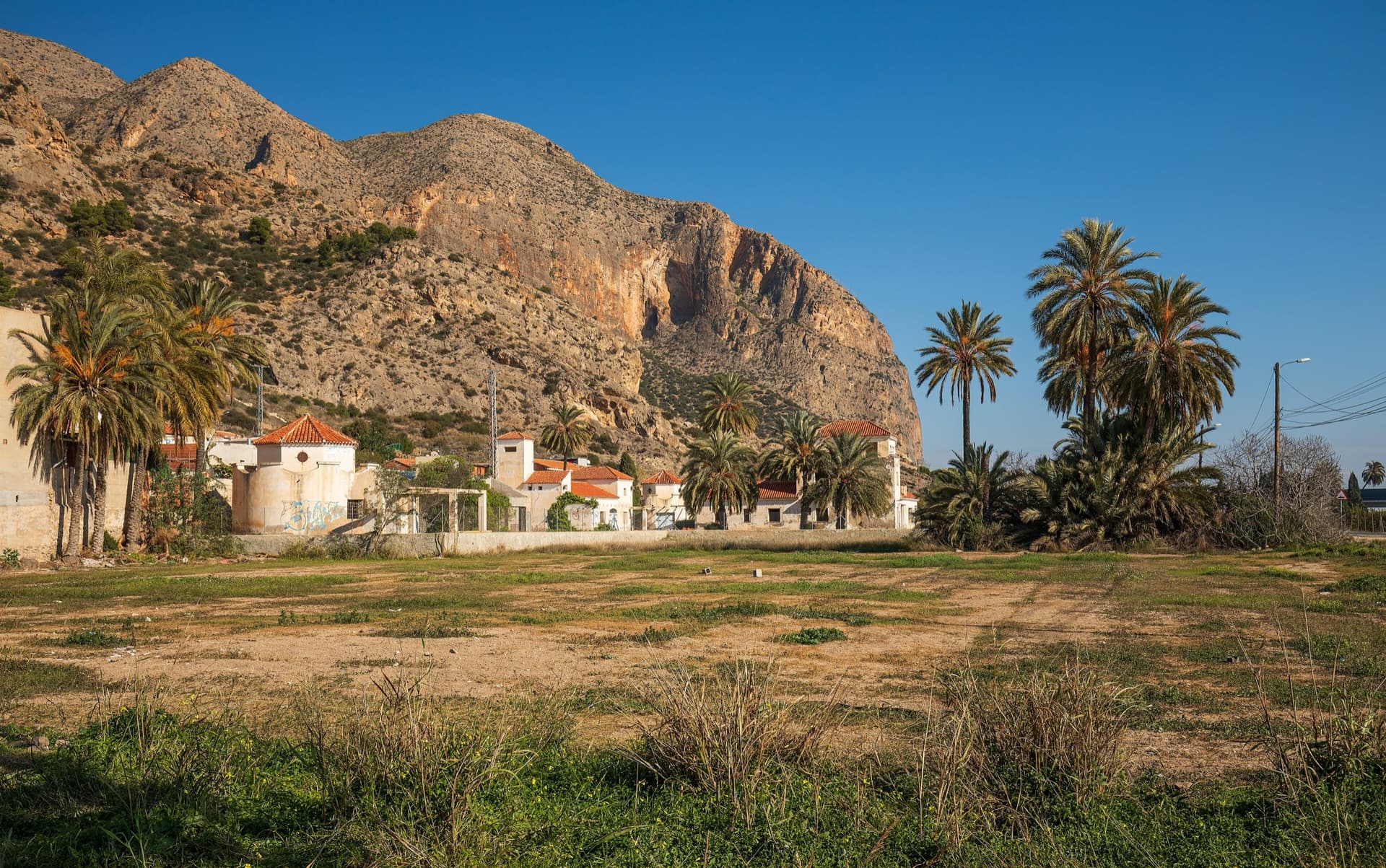
The classic of Redován: ten pitches and 300 m of steady grade 5 with three steeper pitches on red rock. The eighth pitch, a traverse right into an overhanging corner above the orange cliffs, is the one people remember. Closed from January to June for nesting eagles.
6a+10 pitches300 m
Spain · Vega Baja (Orihuela & Callosa)
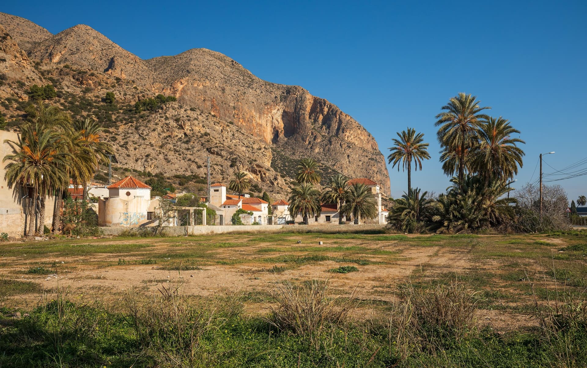
Five pitches up the centre of La Pancha, the main wall above Redován. The second pitch climbs the middle of a red pillar with a polished crux on flat holds; the 40 m last pitch is an elegant slab that looks much harder than it is. Outside the bird closure that affects Botri.
6b+5 pitches150 m
Around 6a+ · about 4 pitches
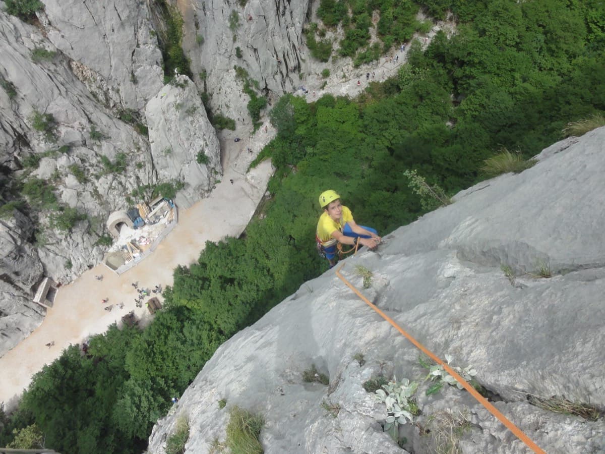
Croatia · Paklenica
A five-minute approach from the gorge café. There is a polished boulder-problem start, then wandering grooves and an airy traverse on the 6a+ third pitch.
6a+4 pitches110 m
Read the cautions
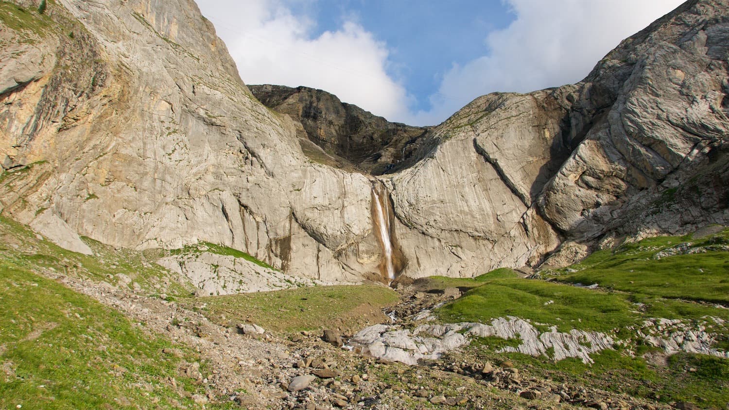
Switzerland · Vaud Alps
The first route opened on the wall right of the Dar waterfall: an easy pitch, two long pitches of steep technical slab and a fine vertical corner with a few athletic moves. Sustained for its grade on superb grey limestone, in the shade for most of the day.
6a+4 pitches130 m
Read the cautions
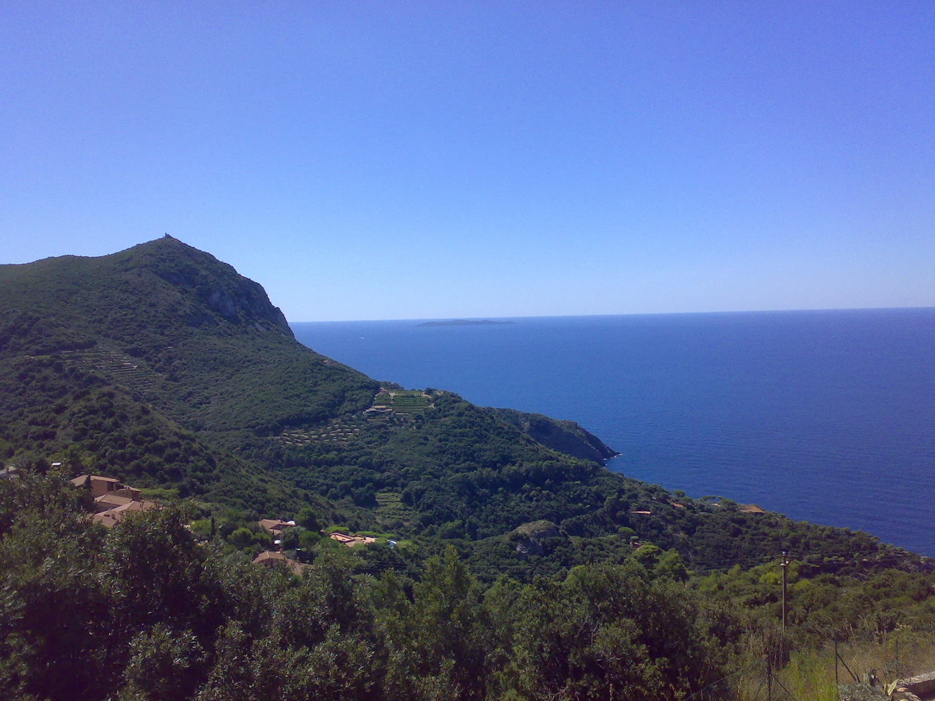
Italy · Monte Argentario
The hardest of the short multipitch lines at Capo d'Uomo. Two approach pitches shared with the Via del Diedro lead to a sustained, technical 6a+ slab pitch that slants right on superb rock, then a varied 6a pitch up a smooth slab and a juggy bulge to the crest. The best climbing on this wall is at the top.
6a+4 pitches130 m
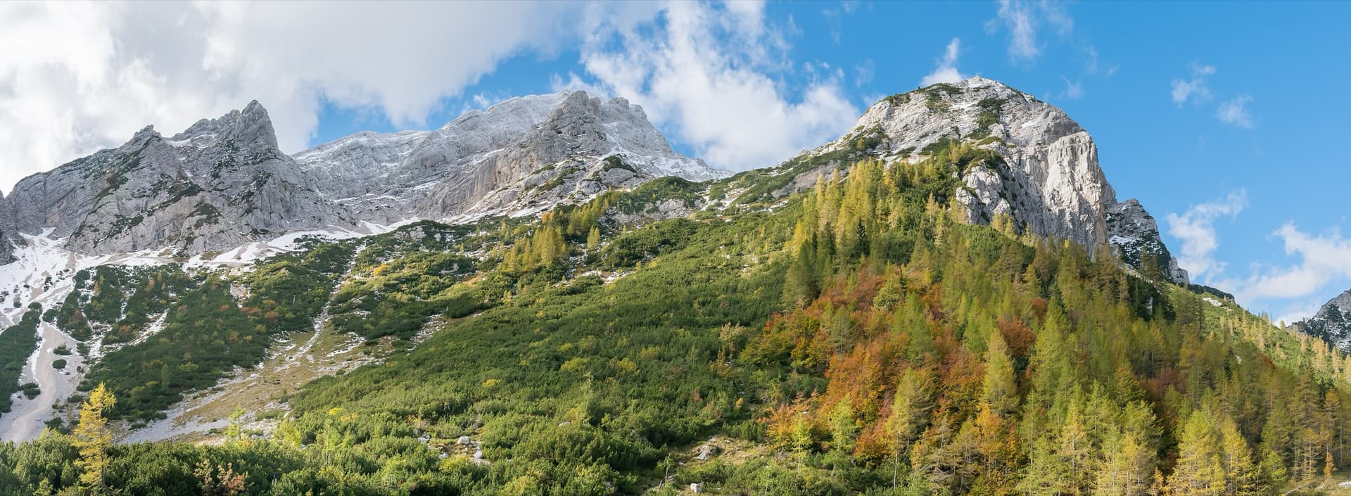
Slovenia · Vršič Pass (Julian Alps)
Beautiful plates and mini dolomite-style runnels, then a final corner. It makes a neat companion to its neighbours on the same face.
6a+4 pitches110 m
Compiled from published sources and last verified October 2026. Bolts, anchors and access change. Climbing is dangerous and you are responsible for your own decisions: check a current topo and read the disclaimer.