Multipitch Atlas

Opium fürs Volk

Staller Sattel – Ohrenspitze south-east wall (Antholz valley) · Bolzano & South Tyrol · Italy

Bail with caveatsBolting confidence: medium

A modern bolted route on grippy, granite-like tonalite high above the Staller Sattel road at the head of the Antholz valley. Six pitches up to 6b lead to a wooded ledge, a walk along it, and two more good pitches on steeper rock to finish. The crux is a crack system through a compact slab on pitch 3; the rest is sustained at 6a.

Hardest pitch
6b
Pitches
10
Length
300 m
Approach
45 min
Aspect
SE
South-east-facing
Rope
2×60 m

The route

Overview

The south-east wall below the Ohrenspitze, above the hairpins on the South Tyrol side of the Staller Sattel, has become a small centre for bolted multipitch climbing on tonalite. Opium fürs Volk takes the left edge of the wall. Its authors set out to make a line that was as easy and even as possible and well protected from bottom to top, and compare it with the local classic Genussspecht: about the same length and difficulty, but on steeper rock and with closer bolts. The start is at 2240 m, so this is a summer route in a mountain setting, with a 45 minute approach up scree and through open forest.

The climbing

Pitch by pitch

Pitches of Opium fürs Volk
PitchGradeLengthNotes
P15b25 mA short slab, then excellent rock to the belay.
P25a40 mEasy climbing to a first ledge; the belay is on the second ledge.
P36b35 mThe crux: a marked crack system through a crisp, compact slab.
P46a28 mA short overhang, then a traverse on small holds to a belay on a narrow ledge.
P56a+35 mA technical slab and a short steep step (watch for rope drag), then a balance passage and sustained climbing to the belay.
P66a20 mAlong the edge, then a single balance move. The belay is on the left, before the wood.
P72a45 mRight through the trees, using slings on them, to a belay on a grass ledge.
P8150 mWalking: follow the ledge up to its highest point.
P96a40 mOverhangs on good holds. Keep left at a niche and climb the steep wall to the belay.
P105b30 mA last pitch on the best tonalite.

Getting there

Approach

To the parking

The Antholz (Anterselva) valley branches north from the Puster valley at Olang, east of Bruneck. Drive up the valley past the Antholzer See towards the Staller Sattel; the pass road is controlled by traffic lights. Park at the first right-hand hairpin after the small tunnel, where a forest road begins (about 1880 m). Coming from the Defereggen valley in East Tyrol, it is the third left-hand hairpin on the way down, at a nature park sign.

On foot · about 45 min

About 45 min. Follow the forest road for about 100 m, then climb the scree field on the right and traverse left. Keep left and follow traces of path and cairns. Once you reach the forest, keep left and climb steeply until you are in front of the wall. Follow the foot of the wall to its left edge (the route Eintagsfliege) and then descend a few metres to the start.

Map of the walk-in

  • Route base
  • Parking

Loading map

The point marks the base of the route.

Coordinates · route base

46.89795, 12.18563

Parking

46.89180, 12.19116

Parking marked on bergsteigen.com (hairpin on the Staller Sattel road)

Point from bergsteigen.com touren/klettern/opium-fuer-volk-staller-sattel

For your phone or watch

Download GPX

Contains the route point and parking. Opens in most mapping apps and GPS watches.

Points are compiled from published sources, with the precision stated above. They were not surveyed on the ground: check them against a current topo.

Getting down

Descent

By abseil. Abseil back to the big ledge as marked on the topo, then continue down the neighbouring route Genussspecht, whose belays are all set up for abseiling, to the foot of the wall. Return by the approach path. Bergsteigen.com allows one hour for the descent.

Retreat

Bailing off the route

Bail with caveats

The normal descent is by abseil, first to the big ledge and then down Genussspecht, where every belay is set up for abseiling. Whether each belay of this route below the ledge is rigged for abseiling is not stated, so a retreat from the lower six pitches may mean leaving gear.

Retreat from
From the top two pitches back to the big ledge, and from the ledge down Genussspecht. The ledge (pitches 7 and 8) is wooded and grassy; no walk-off from it is described.
Point of no return
Not documented.
Carry
Two ropes, and maillons in case you retreat from the lower pitches.
Basis
Part stated, part inferredThe abseil descent is stated by bergsteigen.com; the caveat about the lower belays is inferred from the fact that the described descent uses Genussspecht instead.

Partly inferred from the route facts

Safety

Hazards

  • A mountain crag at over 2200 m with an abseil descent: allow time and watch the weather.
  • The abseil line leaves the route and goes down Genussspecht from the big ledge. Study the topo before you start so you can find it.
  • The approach crosses a scree field and steep forest on faint tracks.
  • Rope drag on pitch 5 if the runners are not extended.

Sun and weather

Conditions

South-east facing with the start at 2240 m. Bergsteigen.com marks May to November as possible; at this altitude the early and late months depend on snow. As on any mountain wall, plan around afternoon thunderstorms in summer. Climbing time is given as 3 h 30 min, 5 h 15 min in all.

Usual season · Jun to Oct

Sun on the wall · SE-facing

Working out the sunlit hours for this month.

  • January: not yet worked out
  • February: not yet worked out
  • March: not yet worked out
  • April: not yet worked out
  • May: not yet worked out
  • June (usual season): not yet worked out
  • July (usual season): not yet worked out
  • August (usual season): not yet worked out
  • September (usual season): not yet worked out
  • October (usual season): not yet worked out
  • November: not yet worked out
  • December: not yet worked out

Sun on the wallDaylight, wall in shade● Usual season

Estimated from the wall's aspect only. Ignores surrounding terrain, gullies and the wall's exact shape. Clock times are local to the wall (Central European time), for the 15th of each month.

Monthly climate averages for Bolzano & South Tyrol, 1991-2020
MeasureJanFebMarAprMayJun (usual season)Jul (usual season)Aug (usual season)Sep (usual season)Oct (usual season)NovDec
Mean daily high °C571115192325252116106
Mean daily low °C−5−325101315151172−3
Rain days 1 mm or more891113141311121113129

● marks the usual climbing season. Averages for 1991-2020 at about 602 m. Area climate from Open-Meteo reanalysis. Temperatures are adjusted to the height of the crag; rain comes from a grid cell of about 10 to 25 km, and summer highs on sea cliffs can read a few degrees low. The wall and valley can differ. Data: Open-Meteo, CC BY 4.0.

What to carry

Gear

14 quickdraws and a few slings for the trees on pitch 7. Bergsteigen.com lists 'double rope or a 60 m rope'; because the descent is by abseil and pitches are up to 40 m, two ropes are the safer choice unless you have checked the abseil lengths on the topo. Helmet.

Checklist

Quickdraws
14
Rope
2×60 m
Helmet
One each
Abseil device and prusik
The descent or the retreat involves abseiling
Maillons or spare karabiners
To leave behind if you retreat

Derived from the route data; check it against a current topo

From climbers

Reader reports

Reader reports are not being collected yet. Until they are, check a current topo and the local club or guidebook publisher for recent changes to Opium fürs Volk.

Worth knowing

Tips

  • Genussspecht (UIAA 7, classed S1+) starts further right on the same wall and is the obvious companion route.
  • The traffic lights on the pass road can add a wait in each direction, so allow for it when planning.

Open questions

Where sources disagree

  • Only bergsteigen.com describes the route, in a text by one of the first ascensionists; no independent report was found.
  • The page carries an information date of 09.06.2019, which is earlier than the 2022 first ascent and appears to have been copied from the Genussspecht entry.
  • Bolting of the belays is not stated in words for this route. The neighbouring Genussspecht page states bolted belays and intermediate bolts (S1+), and this route's authors describe it as even better protected.
  • Rope: 'double rope or 60 m rope' for this route, against 'double rope or 70 m rope' for Genussspecht, down which the abseil descent finishes.
  • Pitch 8 is walking along the ledge and has no grade in the source; it is entered as grade 1.

Provenance

Sources

Same area

More in Bolzano & South Tyrol

All routes in Bolzano & South Tyrol
No photo yet

Italy · Bolzano & South Tyrol

Sonntagsspaziergang

The easy classic of the Noafer Bichl: slabs, a neat corner and two pitches up a pocketed pillar edge, with Bolzano below and the Dolomites on the horizon. Grade 4 climbing throughout, but with some long gaps between bolts on the easy ground.

4c7 pitches280 m

Read the cautions
No photo yet

Italy · Bolzano & South Tyrol

Il Cielo sopra Bolzano

Steep crack, corner and chimney climbing on porphyry, fully bolted in the middle of a trad crag. Sustained at 6a to 6b with a technical 6b+ first pitch. It stays in the shade until mid-afternoon, which makes it a summer option.

6b+7 pitches190 m

No photo yet

Italy · Bolzano & South Tyrol

Dirty Flirty

A friendly, well-bolted line up the red porphyry below the Gasthof Noafer, just above Bolzano. Three pitches of steep slab and corner lead to a long shoulder, two easy pitches cross it, and two more fine slab pitches finish at the cliff top. Mostly grade 5 with one 5c pitch, the third, which is the best of the route.

5c7 pitches250 m

Around 6b · about 10 pitches

Similar elsewhere

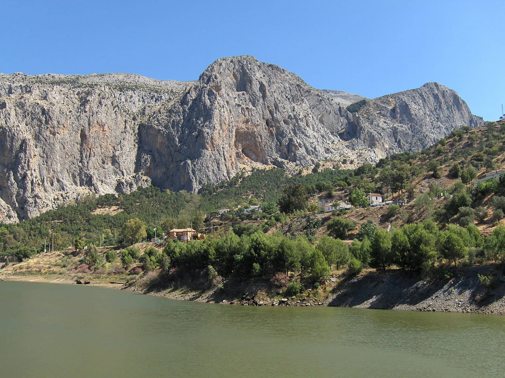
The Frontales cliffs above El Chorro seen across the Tajo de la Encantada reservoir, with the big Poema de Roca cave at the foot of the central dome. The Solarium sector is towards the right-hand end of the cliff; the line is not marked.

Spain · El Chorro

Estrella Polar

Ten varied pitches on good rock in a superb position: a roof, slabs, a tenuous traverse by a cave and a steep corner. Several pitches feel stiff for the grade, especially the P2 crux.

6b10 pitches279 m

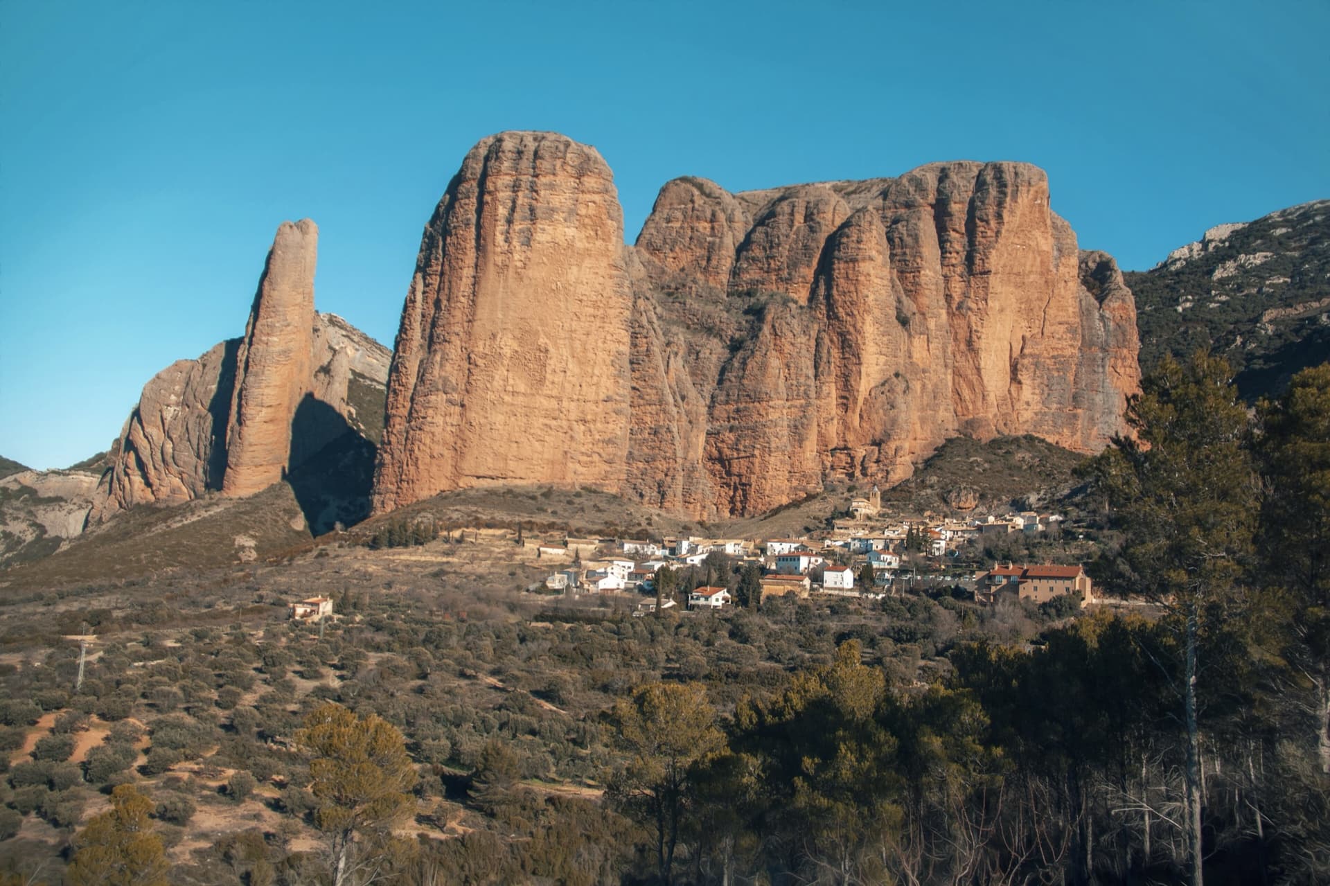
The classic view of Riglos from the south-west: the slender pinnacle of El Puro on the left, the great dome of Mallo Pisón beside it, and the main wall running right to La Visera above the village.

Spain · Riglos & Agüero (Mallos)

Normal al Puro

The way up the detached cigar that is the symbol of Riglos, first climbed in 1953. A polished corner, then the chimney between the Puro and the Pisón, then three short pitches on the outside of the needle to a tiny summit. Very polished in the chimney and on the boulder moves. In shade most of the day.

6b10 pitches180 m

Read the cautions

On the gneiss slabs of Bionde Trecce above Pontemaglio

Italy · Val d'Ossola

Bionde Trecce

Ten pitches of pure friction on a low-altitude gneiss pillar in the Valle Antigorio. Four easy slab pitches warm you up, then a delicate water-polished corner (6a), a balance move on quartz (6a) and a thin slab traverse (6b, partly aidable) provide the interest. A spring and autumn route.

6b10 pitches300 m

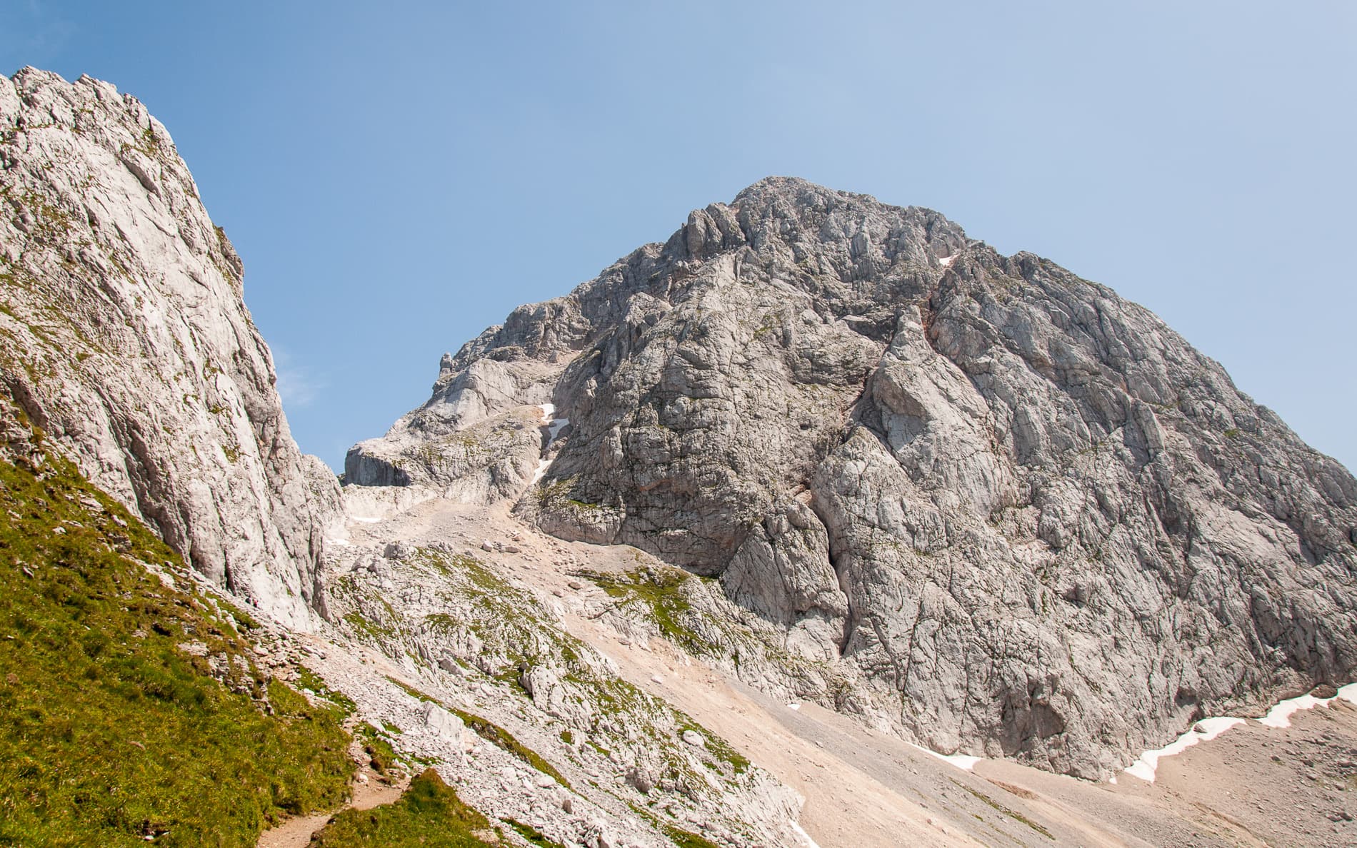
Mangart seen from the path above the Mangart saddle: the pale limestone dome that Briljantina climbs, above its scree apron.

Slovenia · Mangart (Julian Alps)

Briljantina

A long bolted climb up the west face of Mangart, starting at about 2,180 m and finishing near 2,580 m. Two 60 m pitches of 6a open the route and the first half is the best; a 6b corner that can be aided is the crux. An alpine outing with a tricky approach in cloud and rock that is not always perfect.

6b10 pitches400 m

Read the cautions

Compiled from published sources and last verified October 2026. Bolts, anchors and access change. Climbing is dangerous and you are responsible for your own decisions: check a current topo and read the disclaimer.