Multipitch Atlas

Bionde Trecce

Pilastro Corsini (Pontemaglio, Crevoladossola) · Val d'Ossola · Italy

Bail with caveatsBolting confidence: medium

Ten pitches of pure friction on a low-altitude gneiss pillar in the Valle Antigorio. Four easy slab pitches warm you up, then a delicate water-polished corner (6a), a balance move on quartz (6a) and a thin slab traverse (6b, partly aidable) provide the interest. A spring and autumn route.

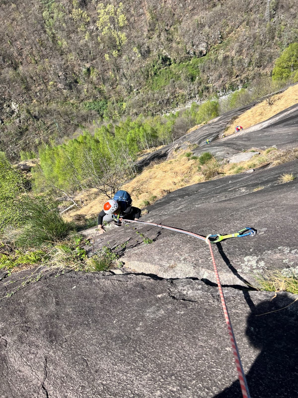
On the gneiss slabs of Bionde Trecce above PontemaglioPhoto: cimaxi · CC BY-NC-ND 3.0

Photo

On the gneiss slabs of Bionde Trecce above PontemaglioPhoto: cimaxi · CC BY-NC-ND 3.0
Hardest pitch
6b
Pitches
10
Length
300 m
Approach
40 min
Aspect
SW
South-west-facing
Rope
1×70 m or 2×35 m

The route

Overview

Bionde Trecce climbs the Pilastro Corsini, a slabby gneiss buttress above the hamlet of Pontemaglio at the mouth of the Valle Antigorio, a few kilometres up the valley from the Oira slabs. It was opened in May 2008 by Paolo Stoppini, T. Modaffari, A. Accomazzo and M. Parianotti and is dedicated to a friend called Anna. The route is not sustained: easy slabs are interrupted by three harder pitches, of which the fifth, a series of open corners, and the ninth, a blank slab, are the best. The first two pitches are vegetated and often dirty or damp. It finishes at the same point as Curri ca Chiovi, which provides the descent.
The climbing

Pitch by pitch

Pitches of Bionde Trecce
PitchGradeNotes
P14bCompact rock with horizontal cracks, then slabs and steps diagonally left. Often dirty and damp.
P24cSlabs and steps to a grassy ledge; belay below the next step.
P35aSmoother, more compact slab with good friction and a few delicate moves at the start.
P44cHorizontally right round an edge, then slabs to the foot of a steeper step with a big band of white quartz crystals.
P56aThe best pitch. Climb the quartz step onto a small ledge and go right along a ramp (a bolt straight above belongs to another line), make a delicate move through a steep band at its weakest point, then follow a series of open, water-smoothed corners to a belay below a vertical step. Sustained; bolts good but not close.
P66aA step to an undercut crack with an off-balance move left; the first bolt is high. Then a very compact but easy-angled slab diagonally right. The difficulty is in the first few metres.
P74aEasy slab.
P83cA linking pitch traversing well to the right.
P96bA pure friction pitch: traverse right, step up past a bush, traverse right again dropping a move or two, then a delicate vertical section. Well bolted and partly aidable. Several repeaters think 6b is generous; the rock crumbles a little underfoot.
P104cShort steps to the top, shared with the exit of Curri ca Chiovi.

Getting there

Approach

To the parking

From the SS33 Simplon road take the exit for Crodo, the Valle Antigorio and Formazza, follow signs for Oira and Pontemaglio and at the next junction turn right (signed Formazza) to reach Pontemaglio. Go through a short tunnel cut in the rock and, soon after, turn right over the bridge across the river and park at once on the left. Domodossola, on the Simplon railway line, is the nearest town.

On foot · about 40 min

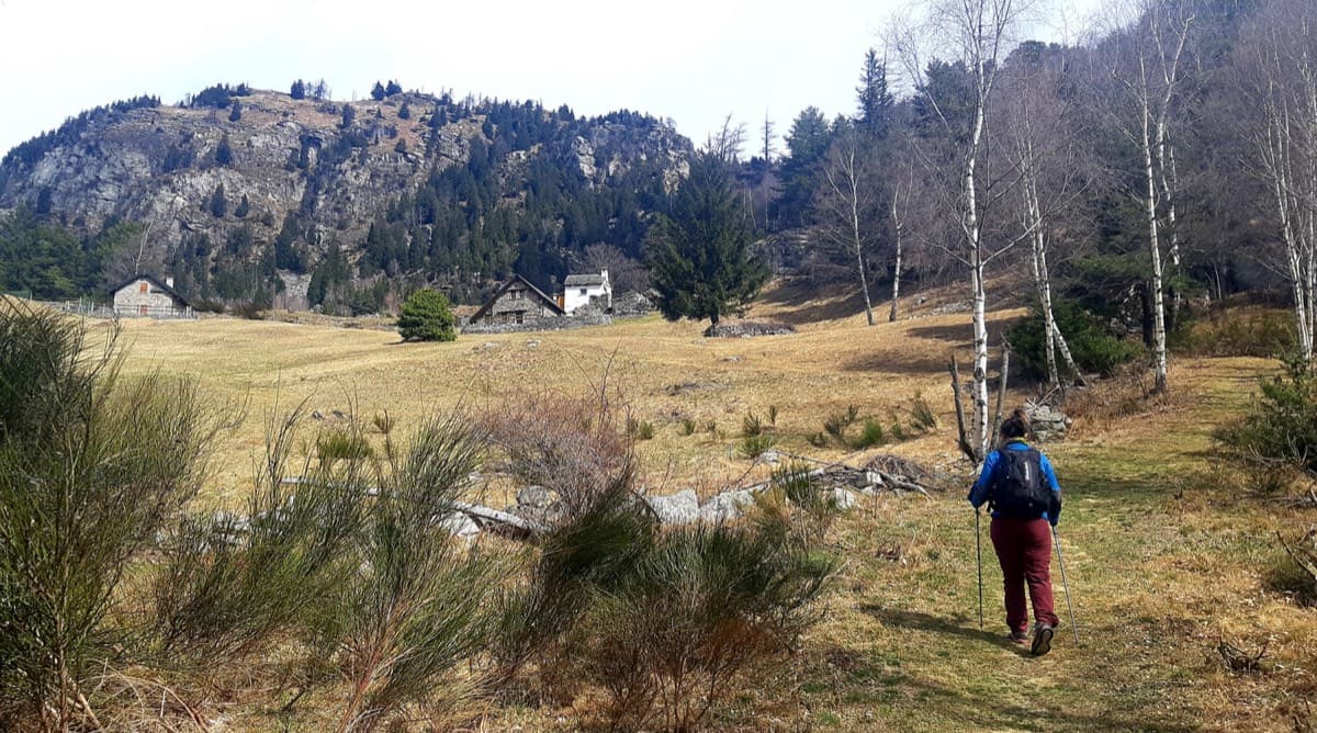
40 minutes at a good pace; one description allows over an hour. Walk along the gated dirt road. Where it bends back towards the river around a partly abandoned farm, leave it at the start of the meadow and go right towards a ruined building at the edge of the wood, with three red dots on its wall. Follow the dots and arrows exactly, both to stay on the path and to keep off the farm's meadow, which the owners ask climbers to avoid. The path is steep, crosses many side tracks, climbs a few steps cut in the rock and passes under a power pylon. At a junction where the route names are painted in yellow on the rock, go right, pass the start of Curri ca Chiovi (leave your sacks here, since you abseil that route) and descend a few tens of metres along the pillar to the yellow lettering of Bionde Trecce.

Map of the walk-in

  • Crag

Loading map

The point marks the crag, not the exact start of the route.

Coordinates · crag

46.19531, 8.33347

Point from camptocamp waypoint 142517 (Parete di Pontemaglio)

For your phone or watch

Download GPX

Contains the route point. Opens in most mapping apps and GPS watches.

Points are compiled from published sources, with the precision stated above. They were not surveyed on the ground: check them against a current topo.

Getting down

Descent

Abseil Curri ca Chiovi, which is more direct: from the last belay go left (facing in) to that route's top station and make eight abseils of about 30 m, looking for its bolts to find each station. With two 60 m ropes only the first abseil, from the top to the ledge, can be doubled; the ropes do not reach otherwise. You land a few minutes from the start. Abseiling Bionde Trecce itself is possible but not advised because of the traverses. An old path from the ruins above the top to Alagua, Vaglio and Pontemaglio exists, but it is exposed and choked with brambles and broom.

Retreat

Bailing off the route

Bail with caveats

The belays are equipped for abseiling, but the route traverses on pitches 4, 8 and 9 and the Scuola Guido Della Torre description advises against abseiling it. The normal descent uses the neighbouring Curri ca Chiovi from the top.

Retreat from
The first four belays are on easy, fairly direct ground and are the simplest to retreat from. Higher up, expect diagonal abseils.
Point of no return
Not documented. After the pitch 8 traverse it is probably easier to finish, since pitch 9 can be partly aided and pitch 10 is easy.
Carry
A 70 m rope or two ropes; quickdraws to clip on diagonal abseils.
Basis
Part stated, part inferredAbseil-equipped belays and the advice not to abseil the route are stated by the Scuola Guido Della Torre; which belays are easiest to retreat from is inferred from the pitch descriptions.

Partly inferred from the route facts

Safety

Hazards

  • The obligatory grade is about 6a (5c according to gulliver.it and camptocamp): pitch 5 has spaced bolts on delicate ground.
  • A newer and much harder route, I Guardiani dell'Ossola (up to 7b), now starts between Curri ca Chiovi and Bionde Trecce. Bionde Trecce is the line beyond it.
  • Eight abseils on a neighbouring route take time; do not count on halving them with long ropes.
  • The approach is steep with many false paths. If you have not seen a red dot for 50 m, go back to the last one.
  • The rock sheds grit on the pitch 9 slab.

Sun and weather

Conditions

South-west facing between about 400 and 800 m. Spring and autumn; too hot in summer. In May the sun arrives at about 11:00 and the upper slabs are already hot by 13:00. The wall dries quickly except for the vegetated first two pitches. Reports run from February to May and in October. In spring the approach path gets overgrown and is slippery when wet.

Usual season · Mar to May, Oct to Nov

Sun on the wall · SW-facing

Working out the sunlit hours for this month.

  • January: not yet worked out
  • February: not yet worked out
  • March (usual season): not yet worked out
  • April (usual season): not yet worked out
  • May (usual season): not yet worked out
  • June: not yet worked out
  • July: not yet worked out
  • August: not yet worked out
  • September: not yet worked out
  • October (usual season): not yet worked out
  • November (usual season): not yet worked out
  • December: not yet worked out

Sun on the wallDaylight, wall in shade● Usual season

Estimated from the wall's aspect only. Ignores surrounding terrain, gullies and the wall's exact shape. Clock times are local to the wall (Central European time), for the 15th of each month.

Monthly climate averages for Val d'Ossola, 1991-2020
MeasureJanFebMar (usual season)Apr (usual season)May (usual season)JunJulAugSepOct (usual season)Nov (usual season)Dec
Mean daily high °C4581217212323191484
Mean daily low °C−5−4−1271113131060−5
Rain days 1 mm or more9911141817171714141310

● marks the usual climbing season. Averages for 1991-2020 at about 643 m. Area climate from Open-Meteo reanalysis. Temperatures are adjusted to the height of the crag; rain comes from a grid cell of about 10 to 25 km, and summer highs on sea cliffs can read a few degrees low. The wall and valley can differ. Data: Open-Meteo, CC BY 4.0.

What to carry

Gear

13 quickdraws and a 70 m rope, or two ropes of 35 m or more. A medium cam is optional for the start of pitch 6, where the first bolt is high. Helmet.

Checklist

Quickdraws
13
Rope
1×70 m or 2×35 m
Helmet
One each
Abseil device and prusik
The descent or the retreat involves abseiling

Derived from the route data; check it against a current topo

From climbers

Reader reports

Reader reports are not being collected yet. Until they are, check a current topo and the local club or guidebook publisher for recent changes to Bionde Trecce.

Worth knowing

Tips

  • To avoid the dirty first pitch, a 2023 party climbed the first pitch of I Guardiani dell'Ossola (6a+) and moved right from its belay.
  • Allow 3 to 4 hours for the climb.
  • Curri ca Chiovi (6b, 6a+ obligatory) is the harder companion route in the same style.

Open questions

Where sources disagree

  • Obligatory grade: 5c on camptocamp and gulliver.it, 6a on the Scuola Guido Della Torre page and in a 2023 trip report.
  • Bolting: 'excellent, true plaisir' in a 2013 camptocamp report, 'good but not exactly plaisir' in 2023. The route description itself says the bolting is generous on the hardest moves.
  • Approach time: 40 minutes (gulliver.it) or over an hour (Scuola Guido Della Torre).
  • Position: the gulliver.it map point (46.19088, 8.32712) is about 700 m from the camptocamp waypoint for the wall used here.
  • Crag name: Pilastro Corsini on gulliver.it and the Scuola page, Parete di Pontemaglio on camptocamp.
  • Pitch 10 is ungraded on camptocamp and 4c on gulliver.it.

Provenance

Sources

Same area

More in Val d'Ossola

All routes in Val d'Ossola
Alpe Gorta above Crevoladossola, with the rocky outcrops behind the huts

Italy · Val d'Ossola

Il Solitaire

A long, sunny friction-slab route of about 35 m pitches on excellent rock, ideal for learning footwork. The hardest move is a short crack-and-chimney finish on the last pitch. Allow about 3 h up and 1 h down.

5b13 pitches430 m

A view of the region, not this route's wall. Looking down the dark gneiss slabs of Il Solitaire above the Val d'Ossola.

Italy · Val d'Ossola

Il Cammino del Sole

Twelve long pitches of sunny gneiss slab above Oira, mostly 4c to 5b+ with two 6a pitches: a thin slab at the start and an athletic corner on pitch 10. Pitches are up to 55 m. A winter-sun route with a summit book and plaques at both ends.

6a12 pitches530 m

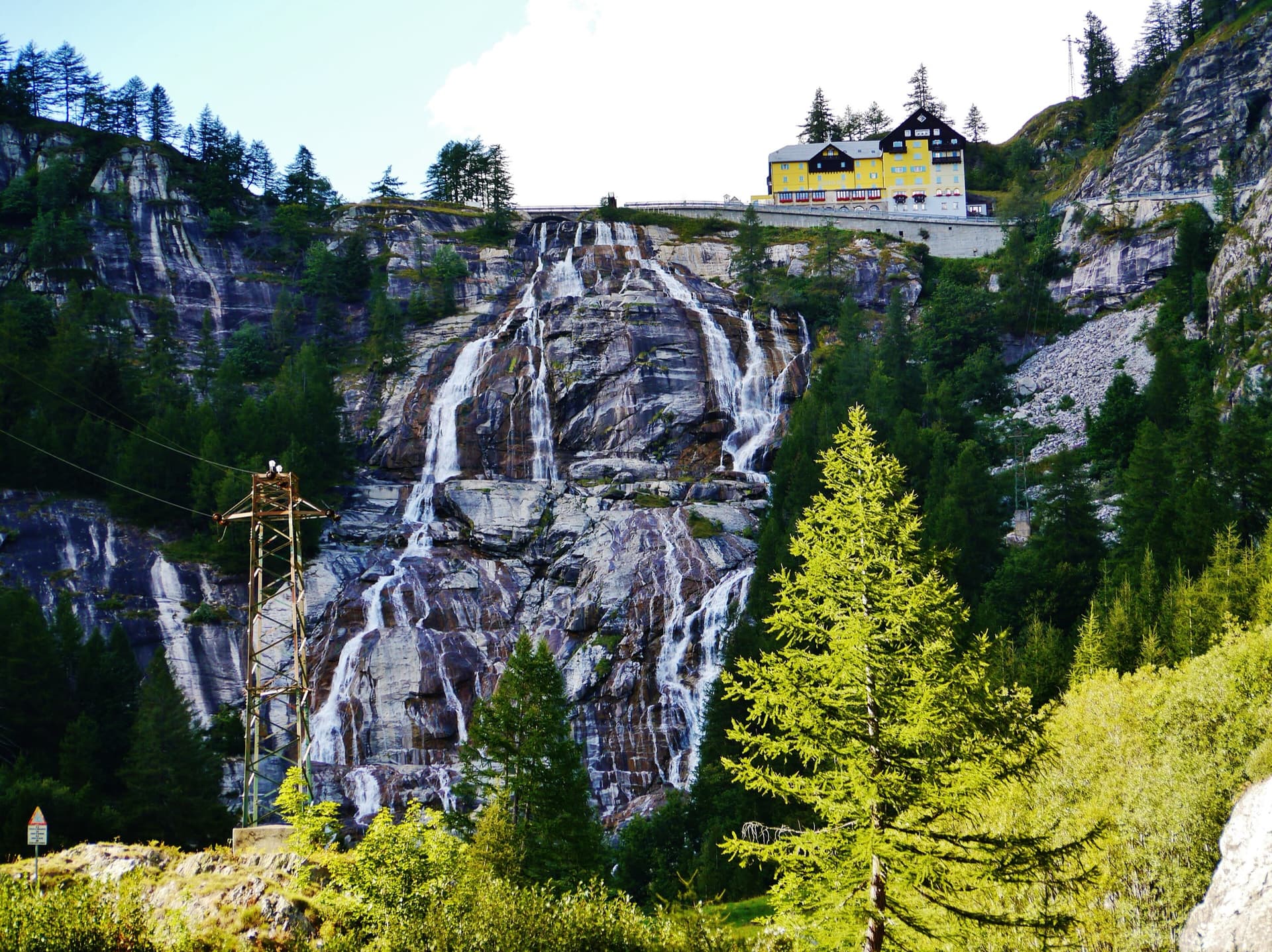
The Toce waterfall at La Frua; Zar climbs the slabs beside the fall

Italy · Val d'Ossola

Zar

A short beginner's multipitch on the slabs beside the 143 m Toce waterfall. Two very easy friction pitches, a steeper slab and a well-featured open corner to finish. Closely bolted, quick to reach and cooled by spray from the falls.

5b4 pitches120 m

A view of the region, not this route's wall. Looking down the dark gneiss slabs of Il Solitaire above the Val d'Ossola.

Italy · Val d'Ossola

Veia di Bruchita

Three friendly pitches of 5a to 5b on rough, featured rock, then a change of gear: an intricate 6a with two traverses and a short, powerful 6a+ through juggy bulges that can be pulled through on fixed cords. A half-day route in the Veglia-Devero park, an hour's walk past Crampiolo.

6a+5 pitches160 m

Around 6b · about 10 pitches

Similar elsewhere

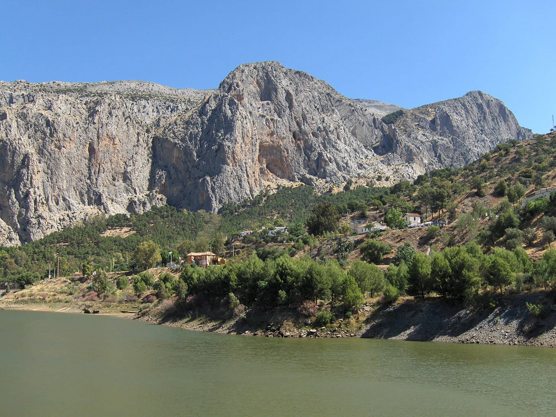
The Frontales cliffs above El Chorro seen across the Tajo de la Encantada reservoir, with the big Poema de Roca cave at the foot of the central dome. The Solarium sector is towards the right-hand end of the cliff; the line is not marked.

Spain · El Chorro

Estrella Polar

Ten varied pitches on good rock in a superb position: a roof, slabs, a tenuous traverse by a cave and a steep corner. Several pitches feel stiff for the grade, especially the P2 crux.

6b10 pitches279 m

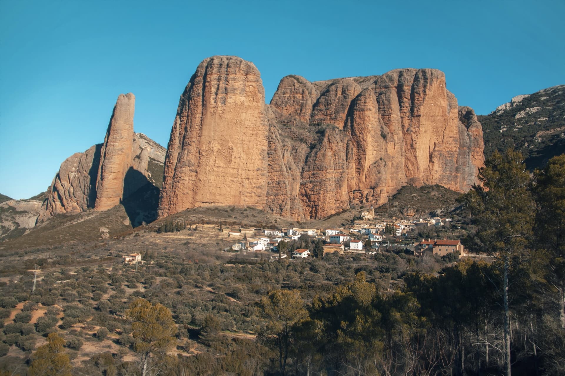
The classic view of Riglos from the south-west: the slender pinnacle of El Puro on the left, the great dome of Mallo Pisón beside it, and the main wall running right to La Visera above the village.

Spain · Riglos & Agüero (Mallos)

Normal al Puro

The way up the detached cigar that is the symbol of Riglos, first climbed in 1953. A polished corner, then the chimney between the Puro and the Pisón, then three short pitches on the outside of the needle to a tiny summit. Very polished in the chimney and on the boulder moves. In shade most of the day.

6b10 pitches180 m

Read the cautions

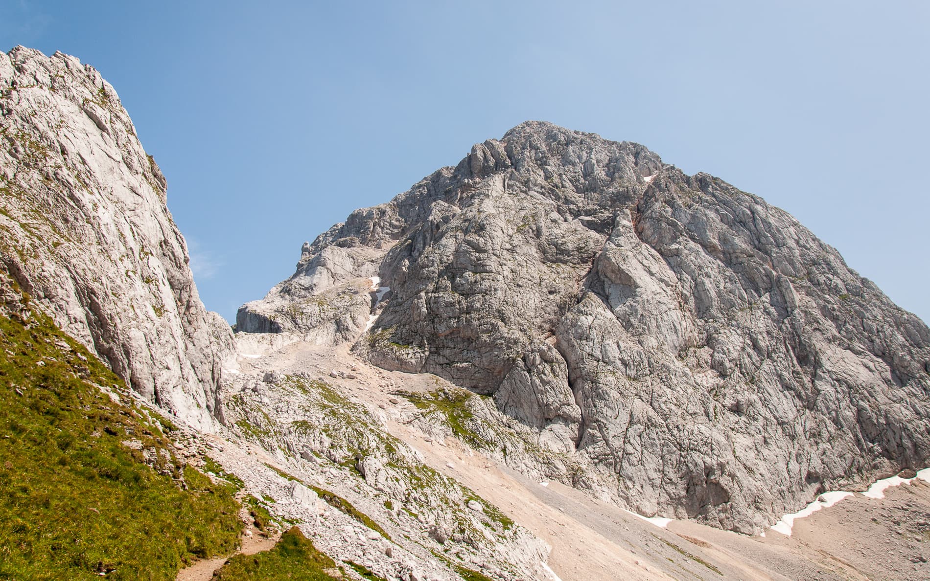
Mangart seen from the path above the Mangart saddle: the pale limestone dome that Briljantina climbs, above its scree apron.

Slovenia · Mangart (Julian Alps)

Briljantina

A long bolted climb up the west face of Mangart, starting at about 2,180 m and finishing near 2,580 m. Two 60 m pitches of 6a open the route and the first half is the best; a 6b corner that can be aided is the crux. An alpine outing with a tricky approach in cloud and rock that is not always perfect.

6b10 pitches400 m

Read the cautions

A view of the region, not this route's wall. Limestone blocks of the Marocche di Dro rockfall beneath the upper walls of Monte Brento, the setting of the Placche Zebrate.

Italy · Arco & Valle del Sarca

Minuetto a Ceniga

A long sport route up the central Coste dell'Anglone above Ceniga. It starts with a few short pitches, then becomes very good: a corner and yellow slab, a delicate traverse, a roof turned at its weakest point and a cracked corner, all around 6a+ to 6b. The last pitches cross overgrown, low-angled ground that needs care with loose stones.

6b10 pitches310 m

Compiled from published sources and last verified October 2026. Bolts, anchors and access change. Climbing is dangerous and you are responsible for your own decisions: check a current topo and read the disclaimer.