Multipitch Atlas

Minuetto a Ceniga

Coste dell'Anglone (Ceniga, Dro) · Arco & Valle del Sarca · Italy

Bail not documentedBolting confidence: high

A long sport route up the central Coste dell'Anglone above Ceniga. It starts with a few short pitches, then becomes very good: a corner and yellow slab, a delicate traverse, a roof turned at its weakest point and a cracked corner, all around 6a+ to 6b. The last pitches cross overgrown, low-angled ground that needs care with loose stones.

A view of the region, not this route's wall. Limestone blocks of the Marocche di Dro rockfall beneath the upper walls of Monte Brento, the setting of the Placche Zebrate.Photo: Robertk9410 · CC BY-SA 4.0

Photo

A view of the region, not this route's wall. Limestone blocks of the Marocche di Dro rockfall beneath the upper walls of Monte Brento, the setting of the Placche Zebrate.Photo: Robertk9410 · CC BY-SA 4.0
Hardest pitch
6b
Pitches
10
Length
310 m
Approach
30 min
Aspect
SE
South-east-facing
Rope
1×60 m
walk-off

The route

Overview

The local guidebook gives Minuetto a Ceniga five stars, and it is well frequented as a result. Bergsteigen.com finds that it does not quite live up to that: the lower pitches are short and broken, but from the fifth pitch to the eighth the climbing is excellent, on a black wall, a yellow slab, a traverse under a roof and a hard cracked corner. Above that the wall lies back into vegetated slabs where route finding and care with loose rock matter more than difficulty, and the exit is rustic. It was opened in 2010 and is still maintained by its first ascensionists.

The climbing

Pitch by pitch

Pitches of Minuetto a Ceniga
PitchGradeLengthNotes
P16a+–A slab at 6a+, then small corners and steps at 5b.
P25c–A short wall above the belay (5c), then a corner (4c).
P36a+–A flake, a traverse left (6a), then a clean crack; at its end go right to the belay. Gulliver.it gives the crack 6a+ to 6b.
P45b–A rising traverse left on broken rock to a tree, the slab above it (5b), then diagonally right at 4a to below the overhanging wall.
P56a+–Up the corner (6a+) and the fine yellow slab that follows (6a+); bergsteigen.com's photos call the start the 'black wall'. This is the pitch that was cleaned and given three extra bolts in November 2022.
P66b–Straight up for a few metres (6a), then a traverse left that starts with a delicate 6b move and eases to 6a and 5c, to a cracked corner and the belay.
P76b–Straight up above the belay, then traverse right under the roof (6b and 6a) and climb over it where it overhangs least (6a+).
P86a+–The hard crack in a corner (6a+, then 5c).
P94c–Slabs until the wall turns vertical, then a long traverse right.
P105a60 mSlabs and short walls with grass and trees (5a), then a heavily featured slab, first straight up and then right, to the exit. A 60 m pitch; you can belay half-way on a tree with a sling. Finding the final crack tells you the top is near.

Getting there

Approach

To the parking

From the A22 take the exit Rovereto Sud (Lago di Garda Nord) and drive via Nago to Arco. In Arco cross the bridge near the castle rock and turn right at once onto the narrow road towards Ceniga, past the two campsites, to the Roman bridge over the Sarca. Do not cross it: continue left towards the farm Maso Lizzone and park on the right before it.

On foot · about 30 min

About 30 min. From the parking walk along the road towards Maso Lizzone and turn left before the farm at the signpost for path 428, the Sentiero degli Scaloni. Follow the marked path up to the wall. A few metres before the foot of the wall, just before the start of the equipped section, a level path branches right and follows the base of the cliff northwards. Pass the painted name 'Luna Calante'; shortly afterwards the path descends some rock steps right beside the wall. The route starts half-way down these steps and goes up a kind of pillar on the left. The bolts are visible and the ground at the start is well trodden. Put your helmet on here: stonefall danger is high.

Map of the walk-in

  • Route base
  • Parking

Loading map

The point marks the base of the route.

Coordinates · route base

45.95758, 10.89635

Parking

45.95340, 10.89760

Parking marked on bergsteigen.com (Maso Lizzone)

Point from bergsteigen.com touren/klettern/minuetto-a-ceniga-coste-dell-anglone

For your phone or watch

Download GPX

Contains the route point and parking. Opens in most mapping apps and GPS watches.

Points are compiled from published sources, with the precision stated above. They were not surveyed on the ground: check them against a current topo.

Getting down

Descent

On foot, about 45 min. From the exit go up through the wood on traces until you meet a forest road. Follow it left to its end at a turning place, continue straight on by a small path to the marked hiking trail, and descend it (the Sentiero degli Scaloni, with cables and steps) to the single-pitch crag and the approach path.

Retreat

Bailing off the route

Bail not documented

Retreat is not documented. The descent is on foot and neither source describes the belay hardware or an abseil line. Pitches 3, 4, 6, 7 and 9 all traverse, which would complicate abseiling.

Retreat from
Not stated.
Point of no return
Not documented. The roof traverse on pitch 7 would be awkward to reverse. With close bolts, the hard moves can be aided, which may make going up easier than going down.
Carry
Maillons and a sling or two; a second rope if you want to be able to abseil.
Basis
Inferred from the route factsNo source mentions retreat; the comments on traverses come from gulliver.it's pitch descriptions.

Partly inferred from the route facts

Safety

Hazards

  • Loose stones on the vegetated upper pitches, directly above parties lower on the route. Move carefully, and wear a helmet from the moment you reach the base.
  • Route finding on the last three pitches, in overgrown low-angled ground.
  • Gulliver.it (2021) notes unstable holds and blocks and lichen that still needed cleaning; the first ascensionists cleaned the lower pitches in November 2022.
  • A popular route: expect other teams.

Sun and weather

Conditions

South-east facing, starting at about 160 to 200 m. Bergsteigen.com marks March to November. Allow about 4 h for the climb and a little over 5 h in all.

Usual season · Mar to May, Sep to Nov

Sun on the wall · SE-facing

Working out the sunlit hours for this month.

  • January: not yet worked out
  • February: not yet worked out
  • March (usual season): not yet worked out
  • April (usual season): not yet worked out
  • May (usual season): not yet worked out
  • June: not yet worked out
  • July: not yet worked out
  • August: not yet worked out
  • September (usual season): not yet worked out
  • October (usual season): not yet worked out
  • November (usual season): not yet worked out
  • December: not yet worked out

Sun on the wallDaylight, wall in shade● Usual season

Estimated from the wall's aspect only. Ignores surrounding terrain, gullies and the wall's exact shape. Clock times are local to the wall (Central European time), for the 15th of each month.

Monthly climate averages for Arco & Valle del Sarca, 1991-2020
MeasureJanFebMar (usual season)Apr (usual season)May (usual season)JunJulAugSep (usual season)Oct (usual season)Nov (usual season)Dec
Mean daily high °C571114192224242016106
Mean daily low °C−3−226111517171394−1
Rain days 1 mm or more681014161715151211118

● marks the usual climbing season. Averages for 1991-2020 at about 527 m. Area climate from Open-Meteo reanalysis. Temperatures are adjusted to the height of the crag; rain comes from a grid cell of about 10 to 25 km, and summer highs on sea cliffs can read a few degrees low. The wall and valley can differ. Data: Open-Meteo, CC BY 4.0.

What to carry

Gear

12 quickdraws, slings (for trees on the upper pitches) and a helmet. Bergsteigen.com lists a 50 m rope, but gulliver.it describes the last pitch as 60 m with an optional tree belay half-way, so take 60 m or plan to split it. No nuts or cams.

Checklist

Quickdraws
12
Rope
1×60 m (walk-off)
Helmet
One each
Slings
Mentioned for retreat
Maillons or spare karabiners
To leave behind if you retreat

Derived from the route data; check it against a current topo

From climbers

Reader reports

Reader reports are not being collected yet. Until they are, check a current topo and the local club or guidebook publisher for recent changes to Minuetto a Ceniga.

Worth knowing

Tips

  • Bergsteigen.com considers the single hardest move, given UIAA 7+, to be closer to 7 (about 6b+), with several passages of 7-. The obligatory grade is about 6a.
  • The best climbing is pitches 5 to 8; do not judge the route by the short pitches at the start.

Open questions

Where sources disagree

  • Grade: 6b with 6a obligatory on gulliver.it (used here, as it is the only source with readable pitch grades); UIAA 7+ with 6 obligatory on bergsteigen.com, which adds that the 7+ move is really about 7. UIAA 7+ would convert to about 6c.
  • Number of pitches: ten on gulliver.it, whose last pitch is 60 m; bergsteigen.com's photo captions mention an eleventh pitch, so it evidently splits the top differently.
  • Length: 310 m (bergsteigen.com) against 300 m (gulliver.it). Base altitude: 160 m against 200 m.
  • Rope: 50 m (bergsteigen.com) against a 60 m last pitch (gulliver.it).

Provenance

Sources

Same area

More in Arco & Valle del Sarca

All routes in Arco & Valle del Sarca
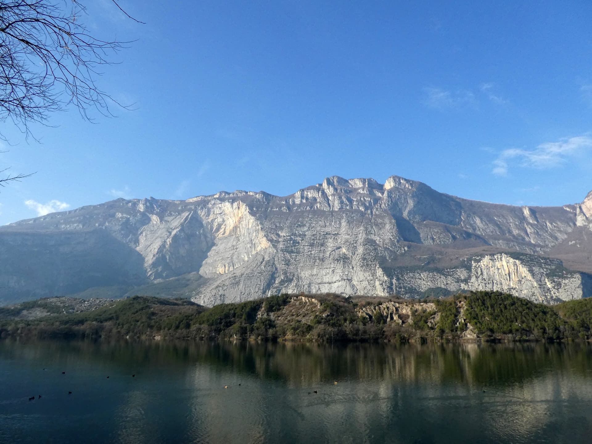
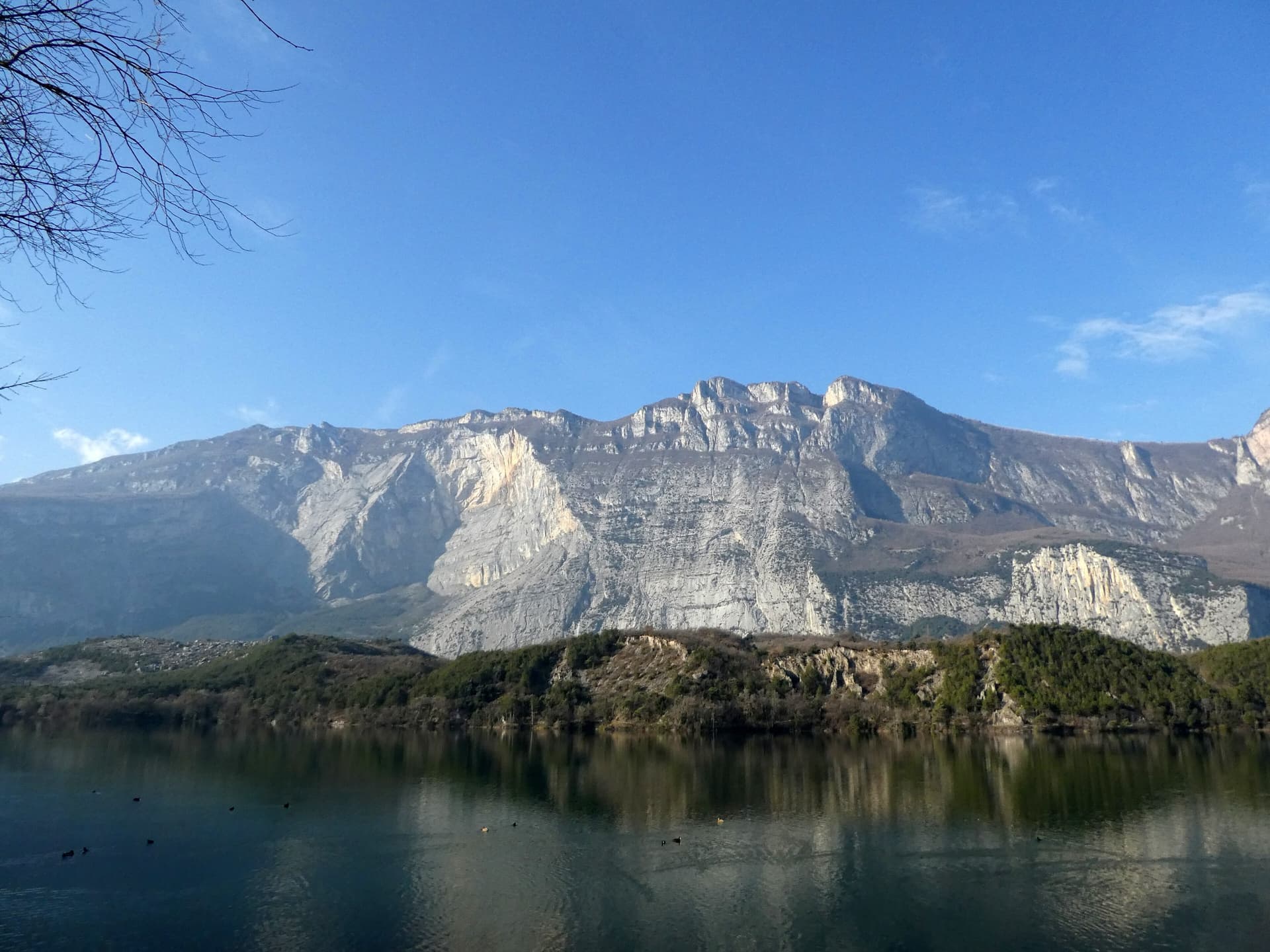
The east face of Monte Brento rising above Lago di Cavedine and the Marocche boulder field. The Placche Zebrate are the pale slab apron at the foot of the wall; the route's line is not marked.

Italy · Arco & Valle del Sarca

Rita

This is the archetypal long, easy Arco slab, first climbed in 1971. It wanders up the lower bands and then improves into a superb water-worn chimney system in the upper half. It is very polished and very busy, so start early. Original grade 6- UIAA per bergsteigen.com; gulliver gives 5c max.

5c16 pitches400 m

Read the cautions
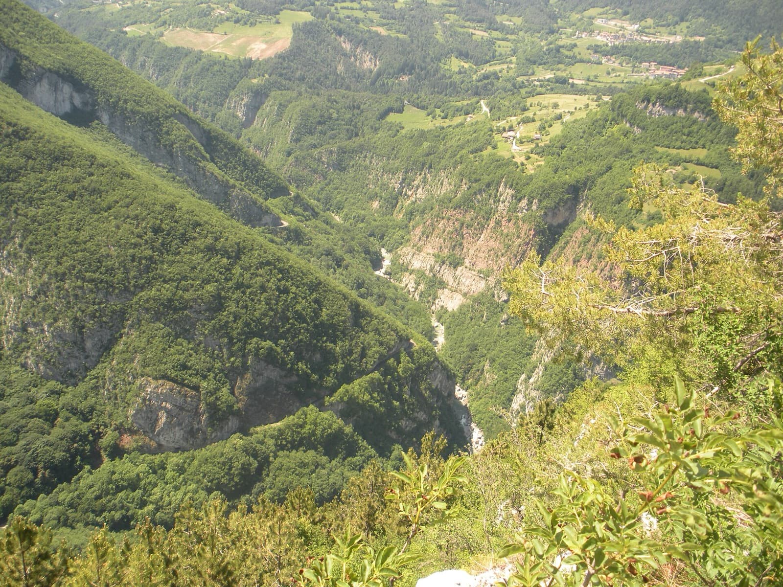
The wooded Limarò gorge of the Sarca, upstream of Sarche; the Parete del Limarò of the Piccolo Dain stands at the gorge's lower end, outside this view.

Italy · Arco & Valle del Sarca

Orizzonti Dolomitici

A succession of short walls and slabs separated by ledges, with the first two pitches shared with Amazzonia. The crux is a single 5c/6a move just below the P5 belay. It's a relaxed, well-protected outing above the Sarche gorge.

5c10 pitches250 m

The east face of Monte Brento rising above Lago di Cavedine and the Marocche boulder field. The Placche Zebrate are the pale slab apron at the foot of the wall; the route's line is not marked.

Italy · Arco & Valle del Sarca

Man-Ilia

An easy, relaxing sport route on low-angle Zebrate slabs, trending left to right to join Cane Trippa at the fifth belay. It's an excellent first multipitch. Gulliver gives UIAA III / II–III / IV / IV–IV+ for the first four pitches, converted here.

5b6 pitches240 m

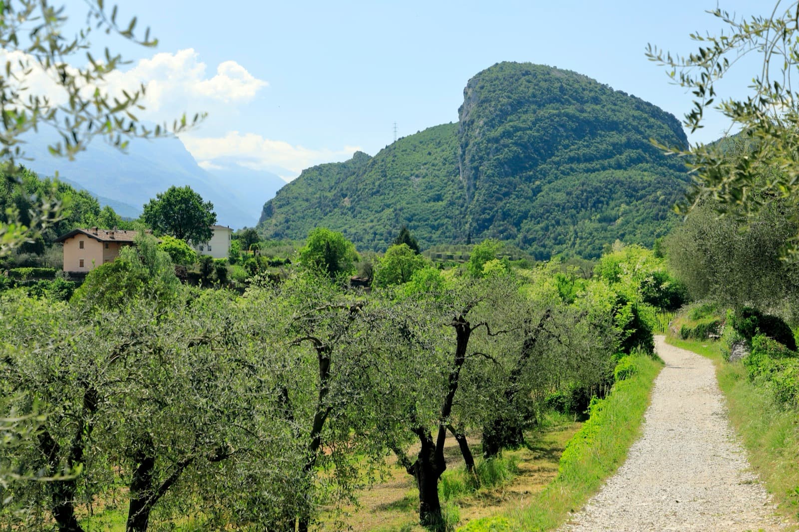
Monte Colt (Croce Colt) seen across olive groves from the west bank of the Sarca north of Arco; a band of steep limestone shows on its east-facing flank, the side the Parete San Paolo routes are on.

Italy · Arco & Valle del Sarca

Via Roberto

Eight sustained pitches up the wall opposite the Laterna restaurant, rarely easier than 6a. The crux is a short overhanging wall on pitch 5 that can be pulled through on the bolts. Less cleaned than its neighbours, with some broken rock on pitch 6.

6c+8 pitches220 m

Around 6b · about 10 pitches

Similar elsewhere

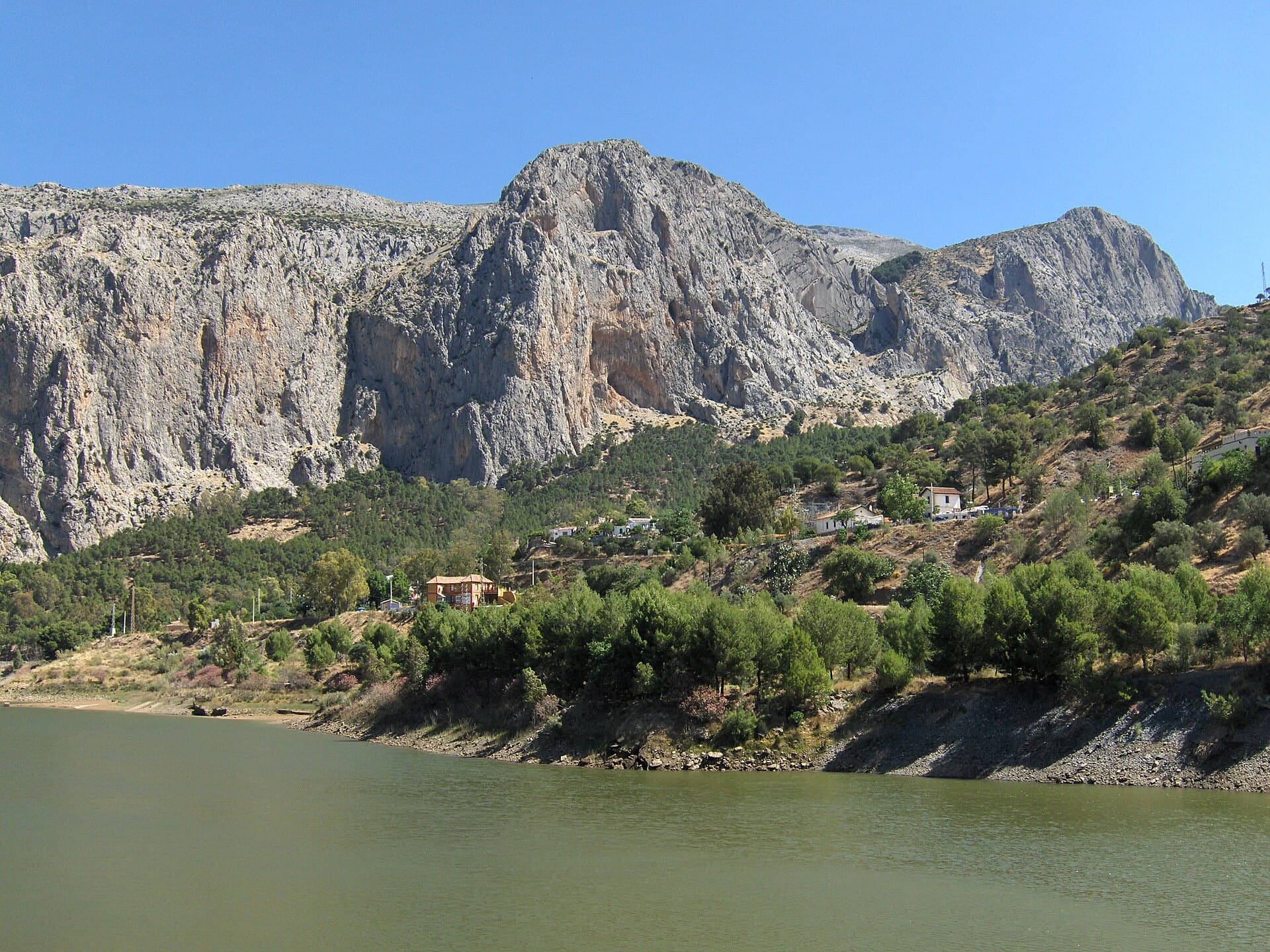
The Frontales cliffs above El Chorro seen across the Tajo de la Encantada reservoir, with the big Poema de Roca cave at the foot of the central dome. The Solarium sector is towards the right-hand end of the cliff; the line is not marked.

Spain · El Chorro

Estrella Polar

Ten varied pitches on good rock in a superb position: a roof, slabs, a tenuous traverse by a cave and a steep corner. Several pitches feel stiff for the grade, especially the P2 crux.

6b10 pitches279 m

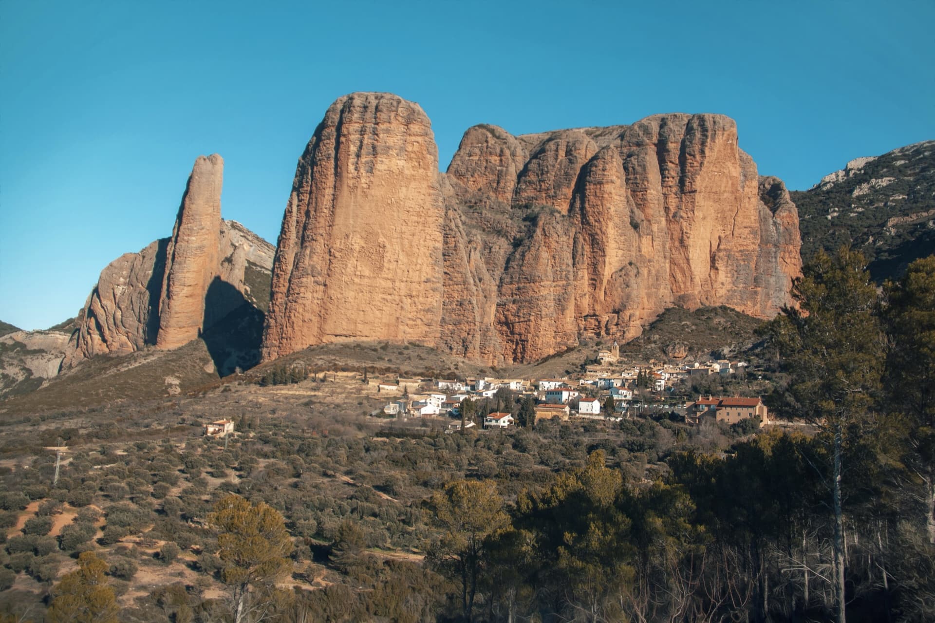
The classic view of Riglos from the south-west: the slender pinnacle of El Puro on the left, the great dome of Mallo Pisón beside it, and the main wall running right to La Visera above the village.

Spain · Riglos & Agüero (Mallos)

Normal al Puro

The way up the detached cigar that is the symbol of Riglos, first climbed in 1953. A polished corner, then the chimney between the Puro and the Pisón, then three short pitches on the outside of the needle to a tiny summit. Very polished in the chimney and on the boulder moves. In shade most of the day.

6b10 pitches180 m

Read the cautions

On the gneiss slabs of Bionde Trecce above Pontemaglio

Italy · Val d'Ossola

Bionde Trecce

Ten pitches of pure friction on a low-altitude gneiss pillar in the Valle Antigorio. Four easy slab pitches warm you up, then a delicate water-polished corner (6a), a balance move on quartz (6a) and a thin slab traverse (6b, partly aidable) provide the interest. A spring and autumn route.

6b10 pitches300 m

Mangart seen from the path above the Mangart saddle: the pale limestone dome that Briljantina climbs, above its scree apron.

Slovenia · Mangart (Julian Alps)

Briljantina

A long bolted climb up the west face of Mangart, starting at about 2,180 m and finishing near 2,580 m. Two 60 m pitches of 6a open the route and the first half is the best; a 6b corner that can be aided is the crux. An alpine outing with a tricky approach in cloud and rock that is not always perfect.

6b10 pitches400 m

Read the cautions

Compiled from published sources and last verified October 2026. Bolts, anchors and access change. Climbing is dangerous and you are responsible for your own decisions: check a current topo and read the disclaimer.