Multipitch Atlas

Veia di Bruchita

Pilastri dello Stange (Alpe Devero) · Val d'Ossola · Italy

Easy to bailBolting confidence: high

Three friendly pitches of 5a to 5b on rough, featured rock, then a change of gear: an intricate 6a with two traverses and a short, powerful 6a+ through juggy bulges that can be pulled through on fixed cords. A half-day route in the Veglia-Devero park, an hour's walk past Crampiolo.

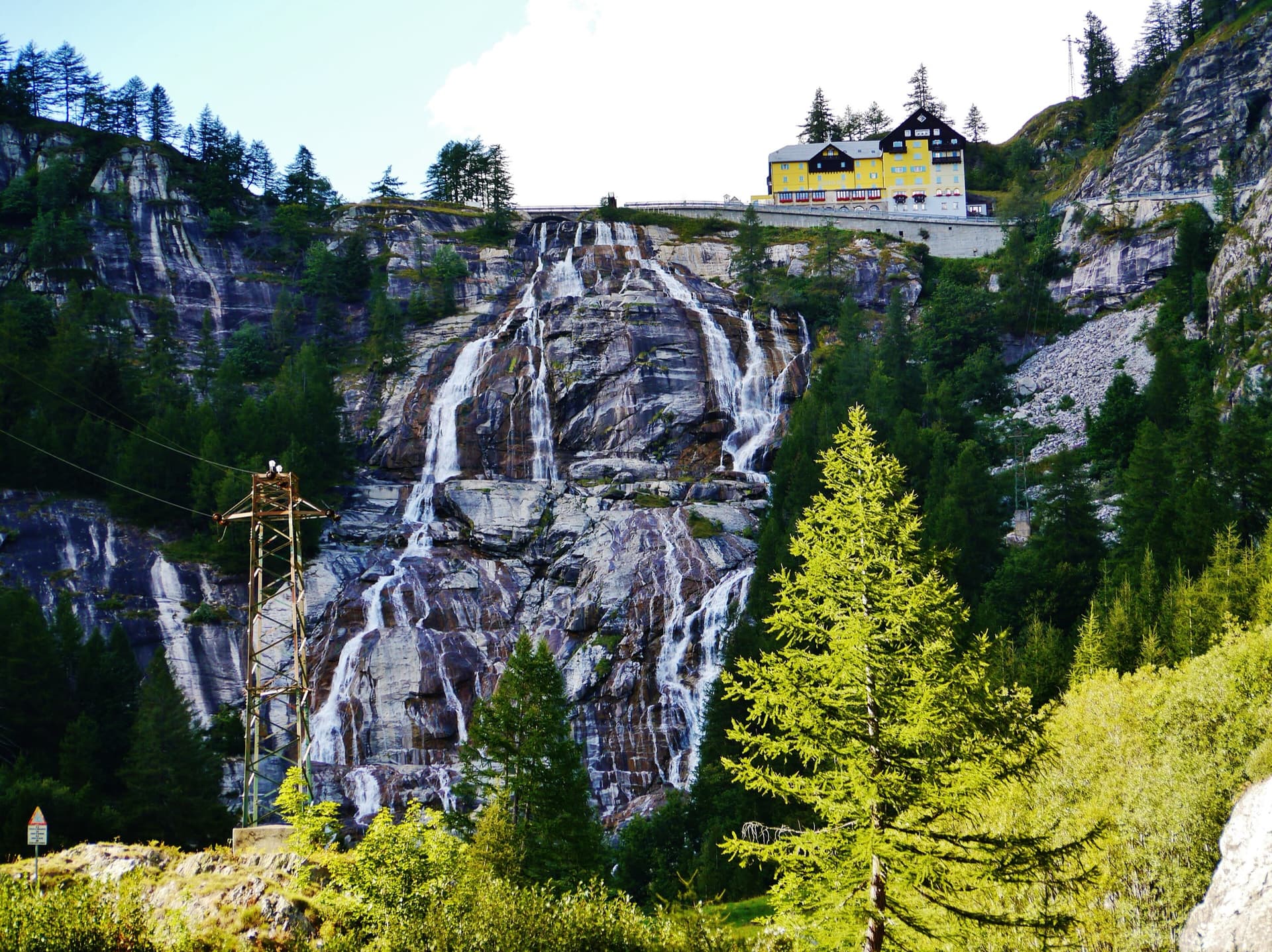
A view of the region, not this route's wall. Looking down the dark gneiss slabs of Il Solitaire above the Val d'Ossola.Photo: PGaudin · CC BY-NC-ND 3.0

Photo

A view of the region, not this route's wall. Looking down the dark gneiss slabs of Il Solitaire above the Val d'Ossola.Photo: PGaudin · CC BY-NC-ND 3.0
Hardest pitch
6a+
Pitches
5
Length
160 m
Approach
75 min
Aspect
S
South-facing
Rope
2×50 m

The route

Overview

The Pilastri dello Stange are a group of pillars near the Devero dam above Alpe Devero, next to the Busin-Stange single-pitch crag. Veia di Bruchita starts 5 m right of LindElda and was bolted by Paolo Stoppini, with materials paid for by the Crampiolo farm restaurant whose family history gives the route its name. The first three pitches are easy slabs and short walls; pitch 4 weaves left and right on delicate ground and pitch 5 climbs two slightly overhanging steps on big holds to a hanging belay. Both hard sections were deliberately equipped so they can be aided, which brings the route down to about 5c. Repeaters like the rock and the setting and treat it as a half-day outing.

The climbing

Pitch by pitch

Pitches of Veia di Bruchita
PitchGradeNotes
P15bSlabs and small steps.
P25aMore of the same, a little easier.
P35bA good varied pitch with interesting short walls.
P46aA step towards a chain, a delicate traverse left without climbing too high (a fine layback according to camptocamp), a slab, then an airy traverse right on good holds. The bouldery move can be aided on a cord. A chain secures a hollow undercut flake that you have to pull on. Long and winding: 14 quickdraws, some of them extended.
P56a+Two slightly overhanging steps on jugs, the second one harder, equipped with cords so that it goes at 5c A0. A short airy traverse left leads to the only hanging belay of the route.

Getting there

Approach

To the parking

From the Ossola dual carriageway (SS33) take the exit for Crodo and the Valle Antigorio, drive to Baceno and follow signs for Goglio and Alpe Devero. The road above Goglio is very narrow and access is regulated at certain times of year. Parking at Alpe Devero is paid (6 euros on a weekday in 2025; camptocamp quotes 6 to 10 euros a day). Buses run from Domodossola to Baceno and a small Prontobus service from Baceno to Alpe Devero.

On foot · about 75 min

1 h to 1 h 15 min. From the Alpe Devero car park take the path through Crampiolo to the Devero dam and lake (about 1 hour). At the foot of the dam turn left following the sign for the Busin-Stange crag, then go down along the base of that wall for about 15 minutes to the pillar. When the crag is in view there are scattered cairns but you can pass almost anywhere. The route starts 5 m right of LindElda, which has a bolt and cord at its start. On the way back you can cut through the woods towards Crampiolo.

Map of the walk-in

  • Crag
  • Parking

Loading map

The point marks the crag, not the exact start of the route.

Coordinates · crag

46.33305, 8.27859

Parking

46.31496, 8.26063

Paid car park at Alpe Devero (camptocamp access waypoint 109289)

Point from gulliver.it map point for the route (single source; camptocamp has no crag waypoint)

For your phone or watch

Download GPX

Contains the route point and parking. Opens in most mapping apps and GPS watches.

Points are compiled from published sources, with the precision stated above. They were not surveyed on the ground: check them against a current topo.

Getting down

Descent

Abseil the route from belays with abseil rings. With two 50 m ropes you can skip belays 4 and 2 and make three abseils of exactly 50 m. A July 2026 party went from belay 5 to belay 3 and then to a descent station just above belay 1; an October 2023 party made a 30 m abseil from the top and then two of 60 m.

Retreat

Bailing off the route

Easy to bail

Abseiling the route is the normal descent and all belays have abseil rings; reports from 2022 to 2026 describe quick, trouble-free abseils. The only complication is pitch 4, which traverses left and then right, so retreating from the middle of it means reversing a traverse.

Retreat from
Any belay. Belay 5 is a hanging stance; the others are on ledges.
Point of no return
None documented.
Carry
Two 50 m ropes to skip stations, or a 70 m single using every belay.
Basis
Stated in the sourcesBoth sites state abseil descent from equipped belays and trip reports confirm it.

Safety

Hazards

  • A possible seasonal climbing ban for nesting birds on these pillars (mentioned in a 2025 report). Ask at Devero or Crampiolo.
  • A hollow undercut flake on pitch 4 is held by a chain and has to be used.
  • The last belay is a hanging stance.
  • Rope drag on pitch 4 unless you extend the runners.
  • Afternoon thunderstorms at this altitude: a 2025 party only just avoided one.

Sun and weather

Conditions

South facing at about 1900 to 2100 m, a summer and early autumn route: reports run from early July to late October. Not too hot at this height in July. A few grassy sections. The pillars lie in the Veglia-Devero natural park and a 2025 report refers to a nesting ban that did not apply that year, so a seasonal closure is possible; check before you go.

Usual season · Jun to Oct

Sun on the wall · S-facing

Working out the sunlit hours for this month.

  • January: not yet worked out
  • February: not yet worked out
  • March: not yet worked out
  • April: not yet worked out
  • May: not yet worked out
  • June (usual season): not yet worked out
  • July (usual season): not yet worked out
  • August (usual season): not yet worked out
  • September (usual season): not yet worked out
  • October (usual season): not yet worked out
  • November: not yet worked out
  • December: not yet worked out

Sun on the wallDaylight, wall in shade● Usual season

Estimated from the wall's aspect only. Ignores surrounding terrain, gullies and the wall's exact shape. Clock times are local to the wall (Central European time), for the 15th of each month.

Monthly climate averages for Val d'Ossola, 1991-2020
MeasureJanFebMarAprMayJun (usual season)Jul (usual season)Aug (usual season)Sep (usual season)Oct (usual season)NovDec
Mean daily high °C4581217212323191484
Mean daily low °C−5−4−1271113131060−5
Rain days 1 mm or more9911141817171714141310

● marks the usual climbing season. Averages for 1991-2020 at about 643 m. Area climate from Open-Meteo reanalysis. Temperatures are adjusted to the height of the crag; rain comes from a grid cell of about 10 to 25 km, and summer highs on sea cliffs can read a few degrees low. The wall and valley can differ. Data: Open-Meteo, CC BY 4.0.

What to carry

Gear

14 quickdraws, a few of them long, for pitch 4 (camptocamp says 12). Two 50 m ropes are the best choice for the traverses and the abseils; gulliver.it says a single 70 m rope is enough. No cams or nuts. Helmet.

Checklist

Quickdraws
14
Rope
2×50 m
Helmet
One each
Abseil device and prusik
The descent or the retreat involves abseiling

Derived from the route data; check it against a current topo

From climbers

Reader reports

Reader reports are not being collected yet. Until they are, check a current topo and the local club or guidebook publisher for recent changes to Veia di Bruchita.

Worth knowing

Tips

  • LindElda (6b+), 5 m to the left, is by the same equipper and shares the descent; a party climbed both in a day in July 2025.
  • Allow about 2 h 30 min for the climb and 1 hour for the abseils.
  • The farm restaurant at Crampiolo, which supplied the bolts, is on the way back.

Open questions

Where sources disagree

  • Name: Veia di Bruchita on gulliver.it, Via di Bruchita on camptocamp.
  • Altitude: gulliver.it gives a base at 1750 m with 300 m of ascent from the car park at 1631 m, which do not agree; camptocamp gives about 1970 m for the difficulties.
  • Rope: 70 m single (gulliver.it) or two 50 m ropes (camptocamp). Quickdraws: 14 against 12.
  • Aspect: south on gulliver.it, south-east on camptocamp.
  • Rock: camptocamp and one of its trip reports call it granite; gulliver.it does not name the rock.

Provenance

Sources

Same area

More in Val d'Ossola

All routes in Val d'Ossola
Alpe Gorta above Crevoladossola, with the rocky outcrops behind the huts

Italy · Val d'Ossola

Il Solitaire

A long, sunny friction-slab route of about 35 m pitches on excellent rock, ideal for learning footwork. The hardest move is a short crack-and-chimney finish on the last pitch. Allow about 3 h up and 1 h down.

5b13 pitches430 m
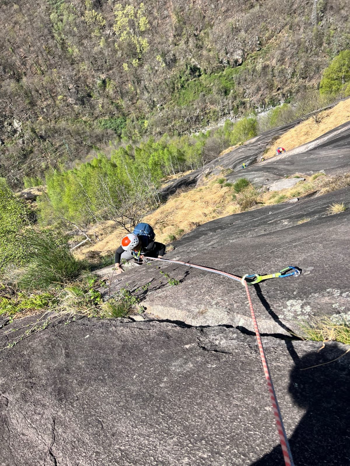
A view of the region, not this route's wall. Looking down the dark gneiss slabs of Il Solitaire above the Val d'Ossola.

Italy · Val d'Ossola

Il Cammino del Sole

Twelve long pitches of sunny gneiss slab above Oira, mostly 4c to 5b+ with two 6a pitches: a thin slab at the start and an athletic corner on pitch 10. Pitches are up to 55 m. A winter-sun route with a summit book and plaques at both ends.

6a12 pitches530 m

The Toce waterfall at La Frua; Zar climbs the slabs beside the fall

Italy · Val d'Ossola

Zar

A short beginner's multipitch on the slabs beside the 143 m Toce waterfall. Two very easy friction pitches, a steeper slab and a well-featured open corner to finish. Closely bolted, quick to reach and cooled by spray from the falls.

5b4 pitches120 m

The Agaro reservoir, with the gneiss walls of the climbing sectors on the left

Italy · Val d'Ossola

Freedom

The most closely bolted of the slab routes above the Agaro reservoir. Three technical, sustained pitches of 6a on rough gneiss, two easy slabs on poorer rock, and a fun finish on pockets with a small overhang. The setting above the turquoise lake is the highlight; the rock needs care.

6a+6 pitches220 m

Read the cautions

Around 6a+ · about 5 pitches

Similar elsewhere

The Hannibalturm in early season, with snow still lying at its foot

Switzerland · Furka

Hanimoon

Five sustained pitches on the left side of the Hannibalturm, never easier than 5c+ and never much harder than 6a+. A smooth friction slab leads to steep wall climbing, a pillar, a flake and a corner, and the route finishes up a ladder of huge quartz knobs. Many parties rate it the best line on the tower and find the second pitch the hardest.

6a+5 pitches170 m

West side of the Gorros sector, Montserrat

Spain · Montserrat

Integral d'en Pitu i la Nuri

A modern linkup over two pinnacles on excellent conglomerate. Overhanging 6a and 6a+ walls alternate with easy 'potato-field' slabs. The new bolting makes it one of the most reassuring long lines in the massif.

6a+5 pitches185 m

The Verdon gorge from the Belvédère de la Carelle, where the abseils to the route start

France · Verdon

Afin que nul ne meure

A 1985 classic of the Escalès, a grade harder and noticeably bolder than Les Dalles Grises next door. Five pitches on pockets and slabs, starting with polished rising traverses and finishing up a sculpted wall of vertical flutings, an overhanging crack and a bulge at 6a+. You need to be solid at 6a to enjoy it.

6a+5 pitches150 m

Read the cautionsCommitting

The Geiselstein and Gabelschrofen in the Ammergebirge nature reserve

Germany · Ammergauer Alpen

Balisto

The popular sport line of the Geiselstein south face, straight up to the summit cross. Long, steep pitches on excellent rough limestone, sustained at UIAA 6- to 6 with two short passages of 6+ and one easier pitch on less reliable rock. Never easy and never crowded with bolts: you climb between them.

6a+5 pitches210 m

Read the cautions

Compiled from published sources and last verified October 2026. Bolts, anchors and access change. Climbing is dangerous and you are responsible for your own decisions: check a current topo and read the disclaimer.