Multipitch Atlas

Balisto

Geiselstein – south face · Ammergauer Alpen · Germany

Read the cautionsBail not documentedBolting confidence: medium

The popular sport line of the Geiselstein south face, straight up to the summit cross. Long, steep pitches on excellent rough limestone, sustained at UIAA 6- to 6 with two short passages of 6+ and one easier pitch on less reliable rock. Never easy and never crowded with bolts: you climb between them.

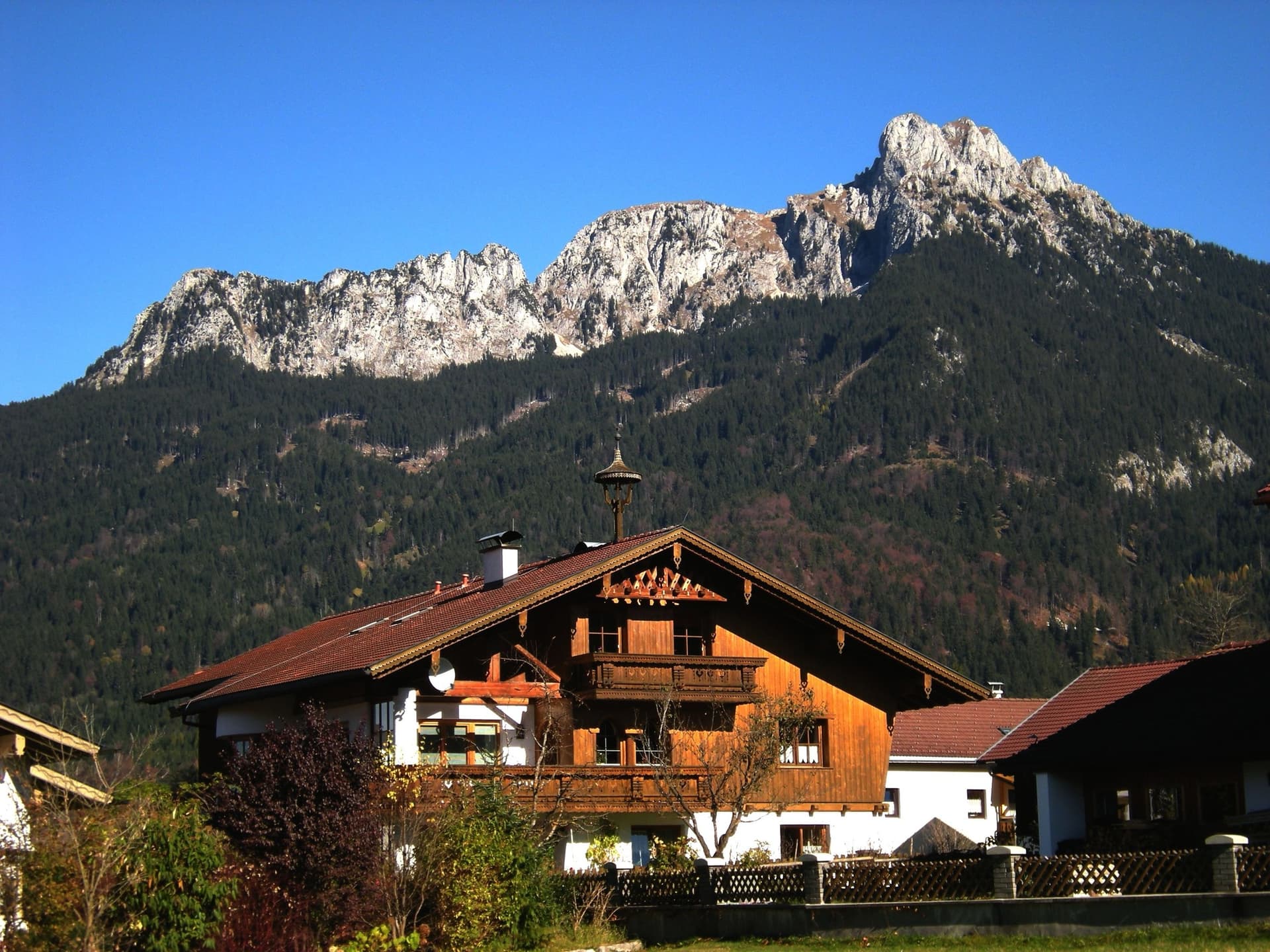
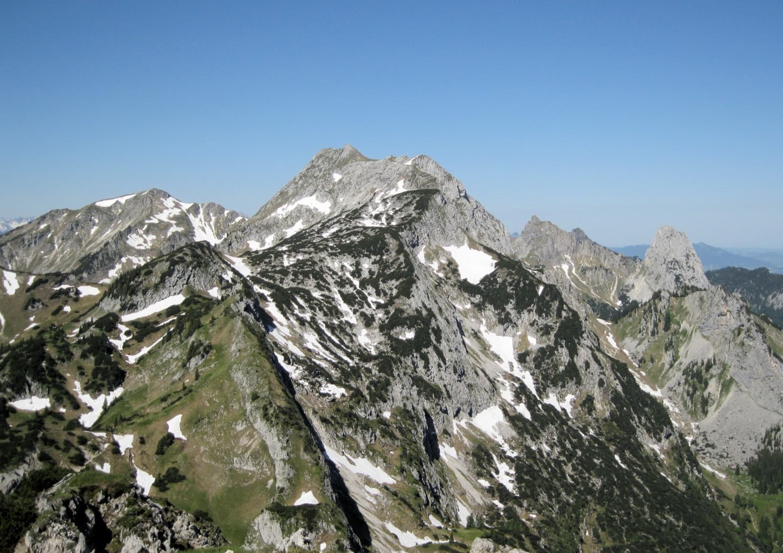
The Geiselstein and Gabelschrofen in the Ammergebirge nature reservePhoto: Dirkfried · CC BY-SA 4.0

Photo

The Geiselstein and Gabelschrofen in the Ammergebirge nature reservePhoto: Dirkfried · CC BY-SA 4.0
Hardest pitch
6a+
Pitches
5
Length
210 m
Approach
90 min
Aspect
S
South-facing
Rope
2×60 m
Read before you go

Bolted throughout with two-bolt belays, but the spacing reaches 5 m on hard ground and both sources suggest optional cams.

The route

Overview

Balisto (spelled Ballisto on some topos) takes the centre of the Geiselstein south face, roughly in the fall line of the summit, and finishes at the cross. bergsteigen.com counts it among the best routes of the region at its grade: about 210 m of steep wall and slab climbing on rock that shows hardly any wear despite countless ascents since its restoration. It is demanding for the number. The pitches are 32 to 50 m long, the difficulty is sustained, and the bolts, while good, can be 5 m apart even where it is hard. The second pitch crosses less reliable rock between dwarf pines. The descent is the scrambling normal route of the Geiselstein.
The climbing

Pitch by pitch

Pitches of Balisto
PitchGradeLengthBoltsNotes
P16a+50 m10 boltsSteeply straight up (UIAA 6-), over a small overhang (6+) and leftwards over easier ground to the foot of a slab below a large dwarf pine, where an intermediate belay on two bolts is possible at about 25 m. Then a crack through the slabs, getting harder up to the pine (6); pass it on the right to a two-bolt belay on a small ledge. allgaeu-plaisir.de treats this as two pitches of 6 and 6+.
P24c32 m6 boltsCarefully up partly unreliable rock between two dwarf pines, with two steep steps (UIAA 5-), then an easier ramp to the right and a last move of 4+ to the two belay bolts.
P35c40 m7 boltsLeft along a ramp to a short crack (5), up it and right along a ramp to a bulge. Pass it right of a thread sling (6-) and climb slabs with cracks and flakes (5+ to 6-) to a belay on the large glue-in ring of the old south face route.
P46a40 m8 boltsUp the broken ground of the south-face basin to the summit slab, where there are two more belay bolts. Follow the bolts straight up the never-easy slab (sustained 6-, a small bulge of 6) to a ledge with the old belay of a crossing route, traverse a short way right to a crack beside a water runnel (6-) and climb to a two-bolt belay. The best rock of the route.
P56a+45 m7 boltsA slab to a steep ramp (5+), the ramp (4+) to a crack (6-). Either traverse left into stepped ground and go straight to the top, which is easier but less good and less well protected, or follow the crack and the bolts and layback over an overhang (6+). Then carefully over brittle, broken ground into the left-hand gully and up to the notch; the summit cross is a few metres left along the ridge.

Getting there

Approach

To the parking

Drive from Füssen or Steingaden to Halblech and park at the hikers' car park for the Kenzenhütte, at the bridge on the northern edge of the village where the valley road starts (bergsteigen.com recorded it as free of charge in August 2026). A shuttle bus runs from there up the private valley road to the Wankerfleck stop and on to the Kenzenhütte, roughly hourly in season; timetable at halblech.de. The road is mostly tarmac and good on a mountain bike, 1 to 1.5 h to the Wankerfleck or the hut, quicker by e-bike. By public transport: train to Füssen, bus to Halblech, then the shuttle.

On foot · about 90 min

From the Wankerfleck bus stop (1140 m) go west across the meadow, or take the gravel track a little to the right, and follow the signposted trail and then the path up to the Geiselsteinjoch (1729 m). From the col descend for about 2 min on the east side; a path across scree and grass leads to the foot of the south face at a dark memorial plaque. Left of the gully, climb about 15 m of easy rock (grade 1) to a small ledge with a bolt, at 1717 m; allgaeu-plaisir.de describes the start as left of a chimney-like cleft where the classic lines set off to the right, at a belay with two bolts. The first bolts of the pitch are hard to see. allgaeu-plaisir.de gives about 1 h 30 from the Wankerfleck; bergsteigen.com allows 2 h 15.

Map of the walk-in

  • Route base
  • Parking

Loading map

The point marks the base of the route.

Coordinates · route base

47.56106, 10.82951

Parking

47.62530, 10.82170

Parkplatz Kenzenhütte, Halblech (bergsteigen.com map marker); shuttle bus or bike from here up the valley road

Point from bergsteigen.com map marker for the route, about 170 m south of the summit

For your phone or watch

Download GPX

Contains the route point and parking. Opens in most mapping apps and GPS watches.

Points are compiled from published sources, with the precision stated above. They were not surveyed on the ground: check them against a current topo.

Getting down

Descent

By the normal route, which is itself a scramble. From the summit go along the ridge towards the north-east to the notch where the ridge ends (ring bolt). Climb down a steep gully on the north side, following the worn rock and red and white marks, with passages of grade 2 (one source says 2 to 3), iron pins and bolts no more than 30 m apart that you can clip or abseil from. At the bottom, below a short west wall, follow the path left round the mountain back to the Geiselsteinjoch, about 20 to 30 min from the summit, then return down the approach path. Those who know the mountain can instead scramble north-west to the exit of the south-west face and make three abseils of 25, 20 and 50 m from Alpine Club ring bolts down the west wall; bergsteigen.com says this takes much longer and only makes sense when the normal route is very wet or icy.

Retreat

Bailing off the route

Bail not documented

Retreat is not described. Every belay has two bolts and the recommended ropes are 2×60 m, which would cover the 32 to 50 m pitches, but no source says the stations are rigged for abseiling. The line is fairly direct apart from the easy linking sections.

Retreat from
Not known; the two-bolt belays are the obvious candidates.
Point of no return
Not documented. From the fourth belay an easier, less well protected finish leads left to the summit.
Carry
2×60 m ropes and maillons or cord to leave at the belays.
Basis
Inferred from the route factsBelay hardware and rope lengths are stated by bergsteigen.com; nothing on retreat.

Partly inferred from the route facts

Safety

Hazards

  • Bolt spacing of up to 5 m on hard passages; a fall in the wrong place would be long.
  • Unreliable rock on pitch 2 and brittle, broken ground at the very top.
  • Stonefall at the start: the ledges between the compact sections hold loose stones and the foot of the wall is busy at weekends.
  • The normal route down has exposed grade 2 passages.
  • An old belay of three pegs and slings on pitch 4 belongs to another route: do not use it as your station.

Sun and weather

Conditions

South-facing, starting at 1717 m: in the sun, and best on clear days from early summer to autumn, when the north-face routes are already cold. The shuttle bus runs from June to October. The descent by the normal route faces north and is delicate when wet and dangerous with snow or ice.

Usual season · Jun to Oct

Sun on the wall · S-facing

Working out the sunlit hours for this month.

  • January: not yet worked out
  • February: not yet worked out
  • March: not yet worked out
  • April: not yet worked out
  • May: not yet worked out
  • June (usual season): not yet worked out
  • July (usual season): not yet worked out
  • August (usual season): not yet worked out
  • September (usual season): not yet worked out
  • October (usual season): not yet worked out
  • November: not yet worked out
  • December: not yet worked out

Sun on the wallDaylight, wall in shade● Usual season

Estimated from the wall's aspect only. Ignores surrounding terrain, gullies and the wall's exact shape. Clock times are local to the wall (Central European time), for the 15th of each month.

Monthly climate averages for Ammergauer Alpen, 1991-2020
MeasureJanFebMarAprMayJun (usual season)Jul (usual season)Aug (usual season)Sep (usual season)Oct (usual season)NovDec
Mean daily high °C−3−225101416161283−2
Mean daily low °C−13−12−8−504663−1−6−11
Rain days 1 mm or more131215162121202016131214

● marks the usual climbing season. Averages for 1991-2020 at about 1638 m. Area climate from Open-Meteo reanalysis. Temperatures are adjusted to the height of the crag; rain comes from a grid cell of about 10 to 25 km, and summer highs on sea cliffs can read a few degrees low. The wall and valley can differ. Data: Open-Meteo, CC BY 4.0.

What to carry

Gear

2×60 m ropes and 11 quickdraws (bergsteigen.com); allgaeu-plaisir.de says a double rope and 10 quickdraws. Helmet. Both sources mention cams of sizes 1 to 3, or a few nuts, as an optional supplement that can be placed in some sections; they are not presented as necessary.

Checklist

Quickdraws
11
Rope
2×60 m
Helmet
One each
Abseil device and prusik
The descent or the retreat involves abseiling
Maillons or spare karabiners
To leave behind if you retreat
Cord
Mentioned for retreat

Derived from the route data; check it against a current topo

From climbers

Reader reports

Reader reports are not being collected yet. Until they are, check a current topo and the local club or guidebook publisher for recent changes to Balisto.

Worth knowing

Tips

  • Allow about 2 h 30 for the climb and 6 h for the day from the Wankerfleck.
  • Splitting the 50 m first pitch at the intermediate belay eases rope drag and communication.
  • The easier left-hand finish on the last pitch avoids the final 6+ but is less well protected.
  • The Südverschneidung shares the same start if one of you wants an easier day.

Open questions

Where sources disagree

  • Pitches: five on bergsteigen.com (6+, 5-, 6-, 6, 6+), six on allgaeu-plaisir.de (6, 6+, 5-, 6, 6, 6+), which uses the intermediate belay of the first pitch and grades the third pitch 5.
  • Approach time: 2 h 15 on bergsteigen.com against about 1 h 30 on allgaeu-plaisir.de, and bergsteigen.com itself gives 1 h 30 for the same walk on its Südverschneidung page.
  • Quickdraws: 11 or 10.
  • Spelling: Balisto and Ballisto.

Provenance

Sources

Same area

More in Ammergauer Alpen

All routes in Ammergauer Alpen
The Hochplatte in the Ammergau Alps seen from the east in early summer; the Schlössel crag is on this side of the massif but cannot be picked out.

Germany · Ammergauer Alpen

Wadlziaga

A short, easy alpine route of UIAA 4+ on the Schlössel above the Kenzenhütte: a water runnel, a corner and slabs, then a compact pillar to finish. Bolted where it matters but not closely. Pitch 3 has some unreliable rock and grass.

4c4 pitches140 m

Read the cautions

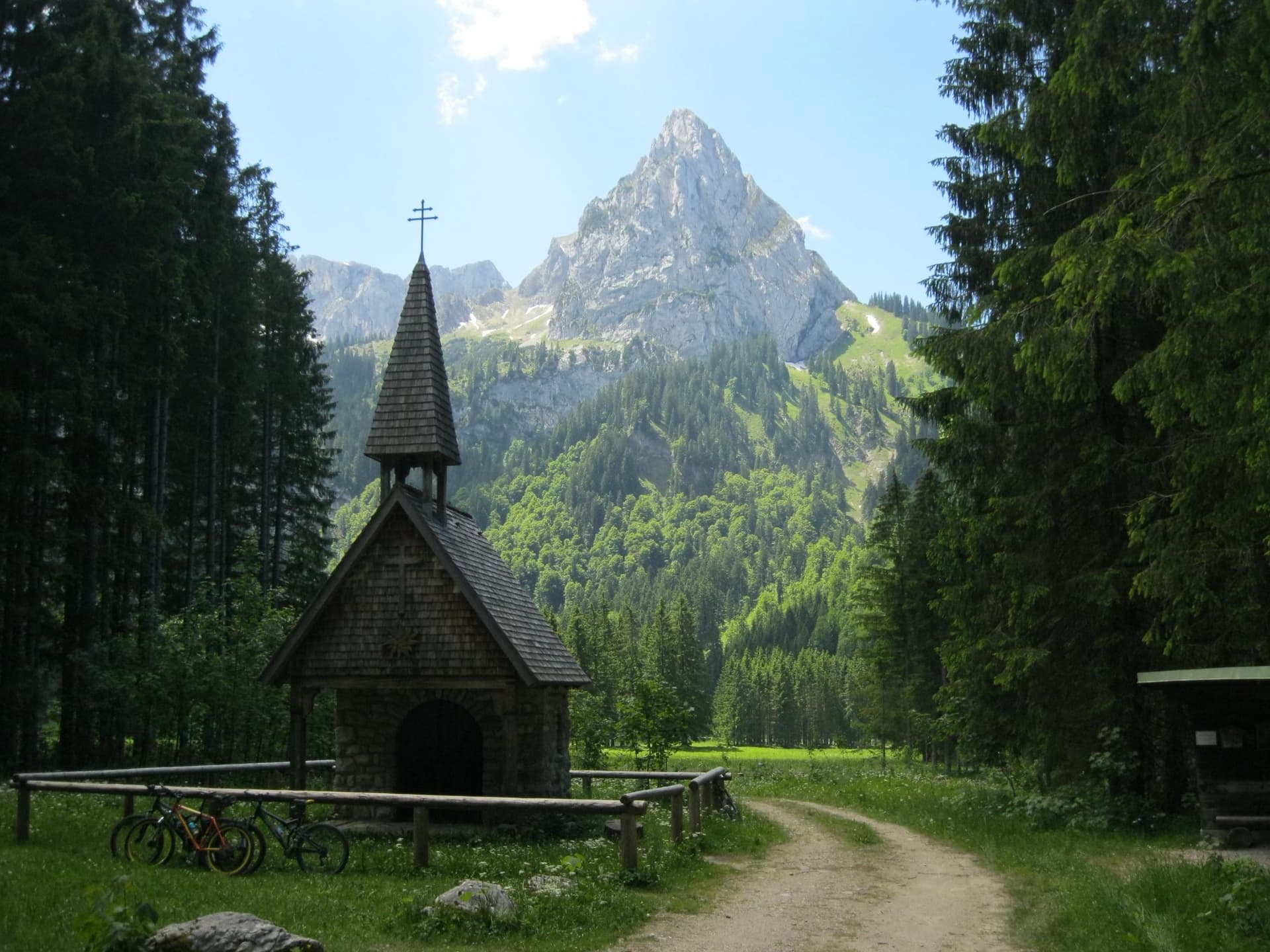
The Geiselstein from the Wankerfleck chapel, where the approach starts; the south face is on the far side

Germany · Ammergauer Alpen

Südverschneidung

The classic way up the Geiselstein, the 'Matterhorn of the Ammergau Alps'. After two scrappy pitches it follows a slabby corner system up the middle of the sunny south face: steep, exposed and on good rock, at about UIAA IV with one polished move of V at the start of the corner. The descent by the normal route needs as much care as the climb.

5a7 pitches260 m

A view of the region, not this route's wall. The Hochplatte in the Ammergau Alps seen from the east in early summer; the Schlössel crag is on this side of the massif but cannot be picked out.

Germany · Ammergauer Alpen

Besser leben mit M.

Six sustained pitches up stepped diagonal corners, compact slabs and steep walls on the very rough limestone of the Kenzenkopf, an hour from the Kenzenhütte. The first pitch is the hardest, at UIAA 7 to 7+ with acrobatic moves on holdless slabs; the rest stays between 6 and 7. Sunny until late afternoon and far quieter than the Geiselstein.

6c6 pitches180 m

The Säuling (right) and the ridge of the Pilgerschrofen seen from Unterpinswang, to the west

Germany · Ammergauer Alpen

Guat g'flickt in Reutte

The longest route on the Säuling: sixteen pitches up the west face to the summit cross, above Neuschwanstein and the lakes of the Allgäu. The lower part links pillars, traverses and some broken ground at UIAA 3 to 6+; the headwall is steep and compact, with a short aid passage and fine corners. Generously bolted, so a weaker second still has a good day.

6a+16 pitches360 m

Around 6a+ · about 5 pitches

Similar elsewhere

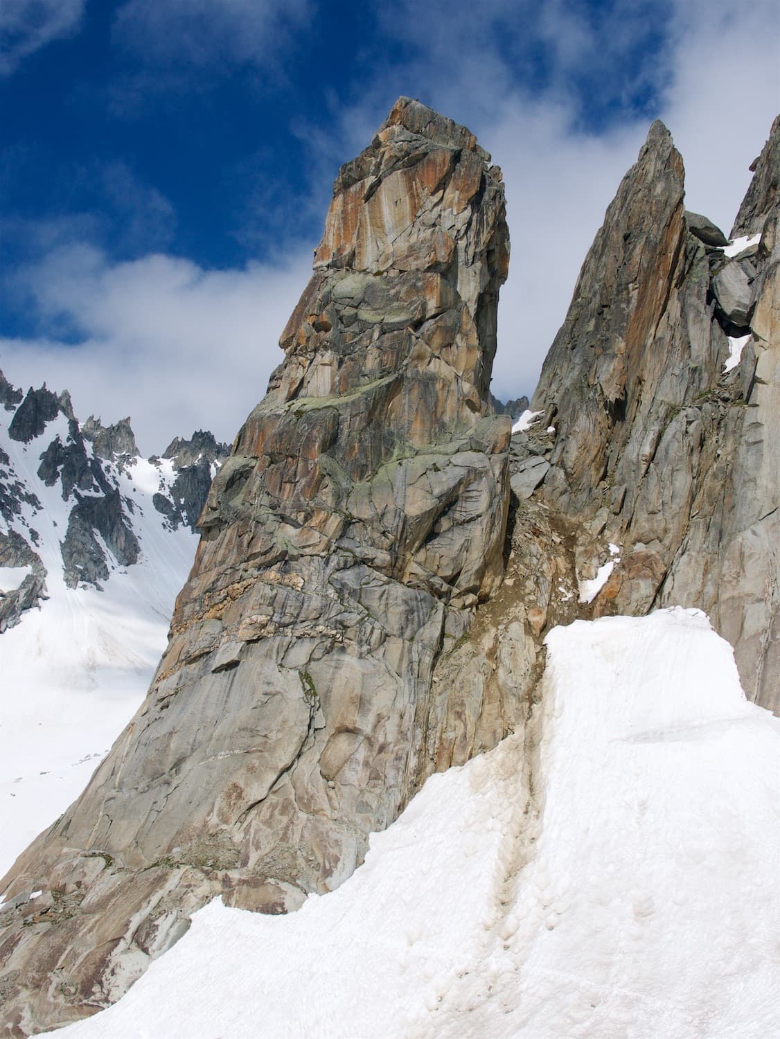
The Hannibalturm in early season, with snow still lying at its foot

Switzerland · Furka

Hanimoon

Five sustained pitches on the left side of the Hannibalturm, never easier than 5c+ and never much harder than 6a+. A smooth friction slab leads to steep wall climbing, a pillar, a flake and a corner, and the route finishes up a ladder of huge quartz knobs. Many parties rate it the best line on the tower and find the second pitch the hardest.

6a+5 pitches170 m

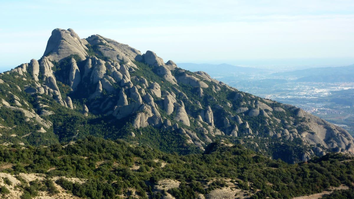
West side of the Gorros sector, Montserrat

Spain · Montserrat

Integral d'en Pitu i la Nuri

A modern linkup over two pinnacles on excellent conglomerate. Overhanging 6a and 6a+ walls alternate with easy 'potato-field' slabs. The new bolting makes it one of the most reassuring long lines in the massif.

6a+5 pitches185 m

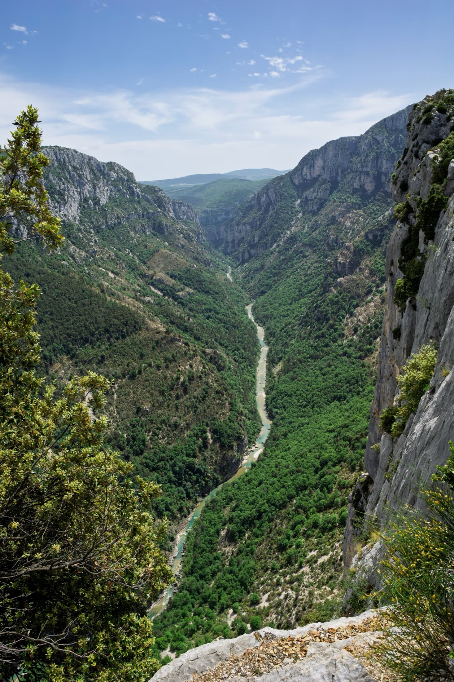
The Verdon gorge from the Belvédère de la Carelle, where the abseils to the route start

France · Verdon

Afin que nul ne meure

A 1985 classic of the Escalès, a grade harder and noticeably bolder than Les Dalles Grises next door. Five pitches on pockets and slabs, starting with polished rising traverses and finishing up a sculpted wall of vertical flutings, an overhanging crack and a bulge at 6a+. You need to be solid at 6a to enjoy it.

6a+5 pitches150 m

Read the cautionsCommitting

Giant water-worn flutes on Kuk od Skradelin: looking down from the top of Dreaming the Lost Friends to climbers at the last belay.

Croatia · Paklenica

Dreaming the Lost Friends

A short, high-quality modern line: a clean straight first pitch, then a steep crack crux and magnificent water grooves.

6a+5 pitches100 m

Read the cautions

Compiled from published sources and last verified October 2026. Bolts, anchors and access change. Climbing is dangerous and you are responsible for your own decisions: check a current topo and read the disclaimer.