Multipitch Atlas

Guat g'flickt in Reutte

Säuling – west face (Tirol side, above Pflach) · Ammergauer Alpen · Germany

Bail with caveatsBolting confidence: high

The longest route on the Säuling: sixteen pitches up the west face to the summit cross, above Neuschwanstein and the lakes of the Allgäu. The lower part links pillars, traverses and some broken ground at UIAA 3 to 6+; the headwall is steep and compact, with a short aid passage and fine corners. Generously bolted, so a weaker second still has a good day.

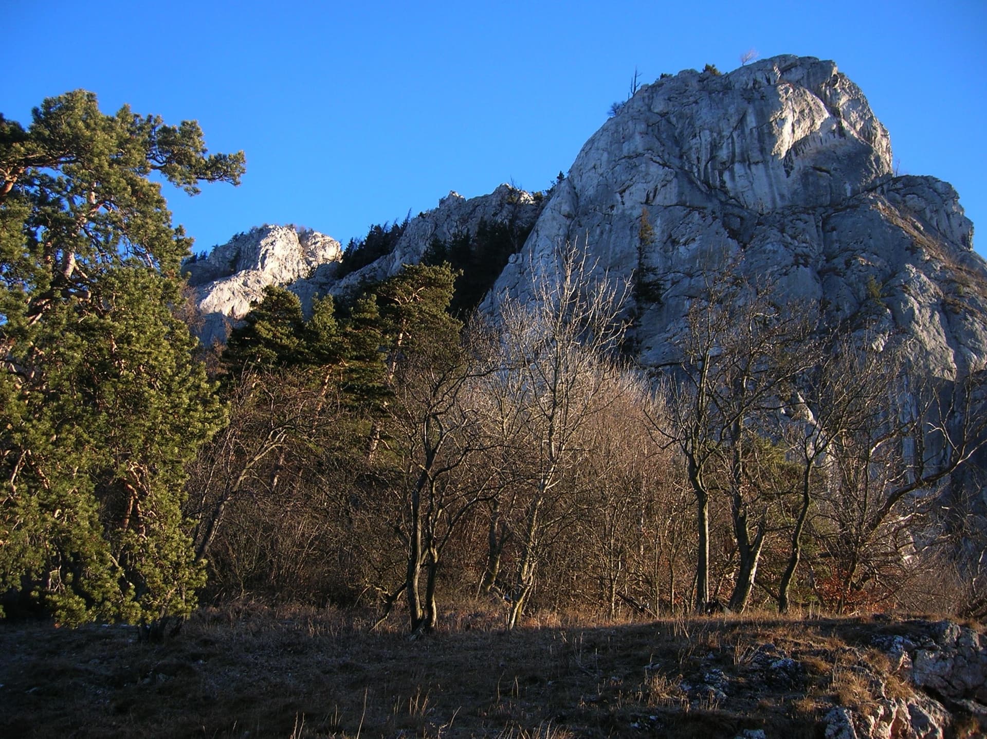
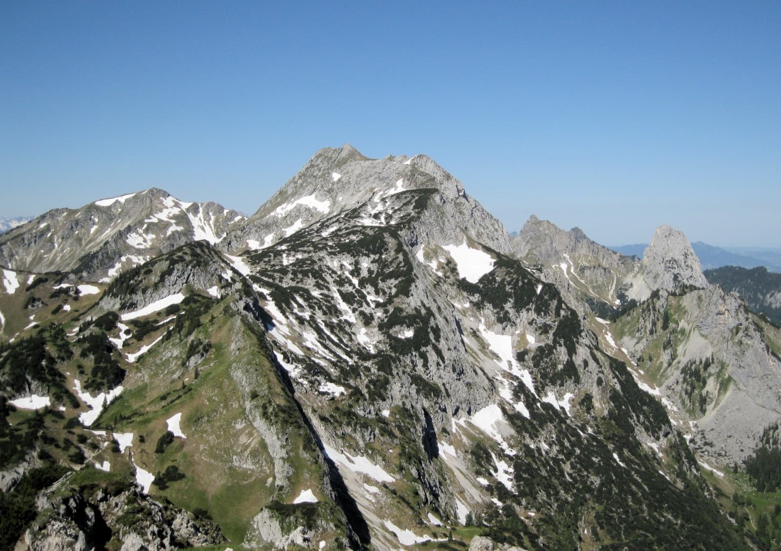
The Säuling (right) and the ridge of the Pilgerschrofen seen from Unterpinswang, to the westPhoto: Franzfoto · CC BY-SA 3.0

Photo

The Säuling (right) and the ridge of the Pilgerschrofen seen from Unterpinswang, to the westPhoto: Franzfoto · CC BY-SA 3.0
Hardest pitch
6a+
Pitches
16
Length
360 m
Approach
120 min
Aspect
W
West-facing
Rope
2×50 m

The route

Overview

Guat g'flickt in Reutte ('well patched up in Reutte', the slogan on a T-shirt its author was given on leaving the Reutte hospital) climbs 360 m up the west face of the Säuling (2047 m). bergsteigen.com is frank that the climbing itself is nothing special low down, where the line has to traverse several times to find compact rock, but that the package of length, headwall, summit and view is hard to beat. The grade is UIAA 6+ (about 6a+) with 6 obligatory, plus two technical passages on the thirteenth pitch, where a smooth slab that would be UIAA 8 free is passed on the bolts. You can escape after the eleventh pitch and avoid the aid slab after the twelfth. It is a long day: 4 to 5 hours of climbing and about 9 hours car to car.

The climbing

Pitch by pitch

Pitches of Guat g'flickt in Reutte
PitchGradeNotes
P15cUIAA 6-. The first of the buttress pitches; the zone above the first four pitches is a favourite of chamois and exposed to stonefall.
P25aUIAA 5.
P35aUIAA 5. A long traverse left on the topo.
P43aUIAA 3, easy linking ground.
P55cUIAA 6-, on good holds according to bergsteigen.com's photo caption.
P64aUIAA 4. A traverse left.
P75aUIAA 5.
P84aUIAA 4. Part of the traversing middle section.
P94cUIAA 5-.
P106a+UIAA 6+ on the first ascensionist's topo: the hardest pitch of the lower part.
P115bUIAA 5+, with a small pillar. From its belay you can traverse left over broken ground to the normal route.
P125bUIAA 5+. A slab pitch below the headwall. From its belay you can traverse right into the rebolted south-west face (maximum UIAA 6-) to the summit.
P136a+ (A0)The start of the headwall: a smooth slab climbed on aid for a few metres at two passages (UIAA 8 free), then 6+. The first aid passage is clearly harder than the second, just below the belay. A sling to stand in helps.
P146a+UIAA 6+. Steep corners; you need some strength in the arms.
P155aUIAA 5, as the corners fade into grooves.
P164aUIAA 4 over broken ground to the top, beside the summit cross.

Getting there

Approach

To the parking

The Säuling stands on the border between Bavaria and Tirol, and its west and south sides, where this route lies, are in Austria. Drive from Füssen or Reutte to Pflach. South of the village centre cross the small level crossing, signposted 'Säulinghaus', and follow the lane east for about 1 km to the Säulinghaus car park at about 880 m. By public transport: train to Pflach, then on foot to the car park. From the car park the hiking path reaches the Säulinghaus in about 1 h 30 (800 m of ascent); the gravel road can be ridden by mountain bike for 6 km to a turning place, from where the hut is 30 min on foot.

On foot · about 120 min

From the Säulinghaus go east through the small wood and up over blocks and scree to the buttress at the foot of the west face, in the fall line of the summit. Just before the hut, bergsteigen.com has you bear right across a meadow to the scree. The start is about 20 m up the left-hand gully, in its left wall, at two bolts on a small grass pedestal between two big gullies. About 15 min from the hut, and about 2 h from the car.

Map of the walk-in

  • Crag
  • Parking

Loading map

The point marks the crag, not the exact start of the route.

Coordinates · crag

47.53433, 10.75186

Parking

47.51674, 10.72964

Säulinghaus car park above Pflach near Reutte, Tirol, about 880 m (bergsteigen.com starting-point marker)

Point from bergsteigen.com map marker for the route, on the west side of the Säuling about 150 m from the summit

For your phone or watch

Download GPX

Contains the route point and parking. Opens in most mapping apps and GPS watches.

Points are compiled from published sources, with the precision stated above. They were not surveyed on the ground: check them against a current topo.

Getting down

Descent

On foot. From the end of the climbing follow the ridge to the main summit and its cross, take the well-trodden hiking path north to a flat saddle, then go left down the steep path with wire cables to the Säulinghaus and follow the hut path back to the car park. bergsteigen.com allows 2 h.

Retreat

Bailing off the route

Bail with caveats

Two ways off before the hard part are stated: after the eleventh pitch you can traverse left over broken ground to the normal hiking route, and after the twelfth you can traverse right into the rebolted south-west face and finish at UIAA 6- at most. Abseiling the lower part is not described, and with its repeated traverses it would not follow the line.

Retreat from
The eleventh belay (walk off left) and the twelfth belay (easier finish to the right).
Point of no return
Not documented for the lower pitches. Once on the headwall, above the thirteenth pitch, finishing is the way off.
Carry
Nothing special for the two escapes. For a retreat lower down: two ropes and maillons to leave, on belays whose rigging is not described.
Basis
Stated in the sourcesBoth escapes are stated by bergsteigen.com and by the first ascensionist; the difficulty of abseiling the lower part is inferred from the traverses.

Safety

Hazards

  • Serious stonefall danger on the first four pitches from chamois in the zone above.
  • Broken ground and ledges with loose stones between the compact sections of the lower part.
  • A long route with many traverses: slow for a party of unequal ability, and retreat by abseil is not described.
  • The headwall needs arm strength even with the aid moves.
  • A related article on allgaeu-plaisir.de notes the Säulinghaus as 'currently closed': check before counting on it for water, food or a bed.

Sun and weather

Conditions

West and south-west facing, finishing on the 2047 m summit. Wait for a dry day after rain. The first ascensionist was badly injured by a falling block in a gully on this side of the mountain after prolonged early-summer rain. It is a long, exposed route with no shelter, so a settled forecast matters.

Usual season · Jun to Oct

Sun on the wall · W-facing

Working out the sunlit hours for this month.

  • January: not yet worked out
  • February: not yet worked out
  • March: not yet worked out
  • April: not yet worked out
  • May: not yet worked out
  • June (usual season): not yet worked out
  • July (usual season): not yet worked out
  • August (usual season): not yet worked out
  • September (usual season): not yet worked out
  • October (usual season): not yet worked out
  • November: not yet worked out
  • December: not yet worked out

Sun on the wallDaylight, wall in shade● Usual season

Estimated from the wall's aspect only. Ignores surrounding terrain, gullies and the wall's exact shape. Clock times are local to the wall (Central European time), for the 15th of each month.

Monthly climate averages for Ammergauer Alpen, 1991-2020
MeasureJanFebMarAprMayJun (usual season)Jul (usual season)Aug (usual season)Sep (usual season)Oct (usual season)NovDec
Mean daily high °C−3−225101416161283−2
Mean daily low °C−13−12−8−504663−1−6−11
Rain days 1 mm or more131215162121202016131214

● marks the usual climbing season. Averages for 1991-2020 at about 1638 m. Area climate from Open-Meteo reanalysis. Temperatures are adjusted to the height of the crag; rain comes from a grid cell of about 10 to 25 km, and summer highs on sea cliffs can read a few degrees low. The wall and valley can differ. Data: Open-Meteo, CC BY 4.0.

What to carry

Gear

2×50 m double ropes (2×60 m if you want to link pitches), 12 quickdraws, slings to extend bolts on the traverses, a sling to stand in for the aid passages, and a helmet. No nuts or cams.

Checklist

Quickdraws
12
Rope
2×50 m
Helmet
One each
Maillons or spare karabiners
To leave behind if you retreat

Derived from the route data; check it against a current topo

From climbers

Reader reports

Reader reports are not being collected yet. Until they are, check a current topo and the local club or guidebook publisher for recent changes to Guat g'flickt in Reutte.

Worth knowing

Tips

  • Take a foot sling for the thirteenth pitch if you are not climbing well above the grade.
  • Unsure about the weather or the headwall? Decide at the eleventh belay (escape left) or the twelfth (easier finish right).
  • A mountain bike saves time on the 6 km gravel road and gives a fast descent at the end of the day.
  • The shorter routes on the Kleiner Säuling, ten minutes from the hut, make a good second day.

Open questions

Where sources disagree

  • Country: the atlas files this under its German 'Ammergauer Alpen' region, but the west face, the Säulinghaus and the car park are in Tirol, Austria; only the summit ridge is on the border.
  • Grades: bergsteigen.com gives '6+, 6 obligatory, A0'; allgaeu-plaisir.de gives 3 to 6+ in the lower part and 5 to 6+ on the headwall, with the smooth slab at A0 or UIAA 8; the topo's text box also mentions '6- (restored)', which refers to the easier south-west face finish.
  • Start: 'on a small grass pedestal between two big gullies' (bergsteigen.com) against 'about 20 m up in the left gully wall' (allgaeu-plaisir.de).
  • Finish: bergsteigen.com says in one place that you top out at the summit cross and in another that you follow the ridge to it.
  • The pitch grades here are read from the first ascensionist's photo-topo; pitch lengths are not published.

Provenance

Sources

Same area

More in Ammergauer Alpen

All routes in Ammergauer Alpen
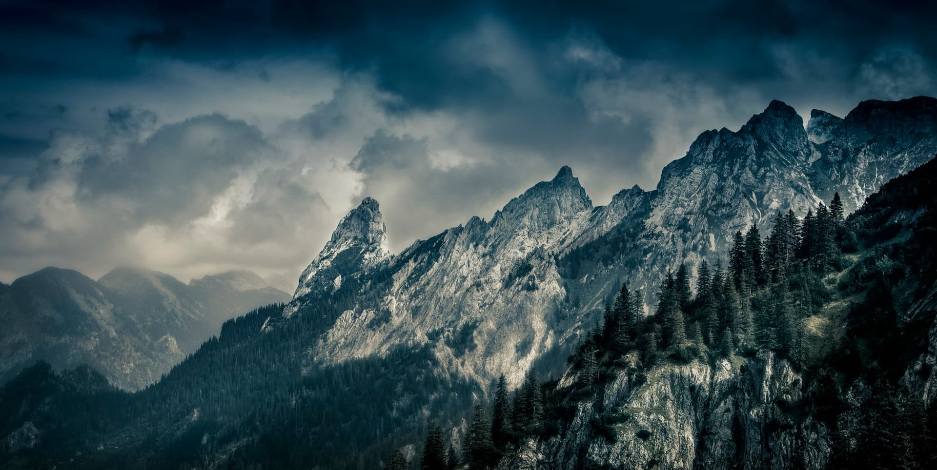
The Hochplatte in the Ammergau Alps seen from the east in early summer; the Schlössel crag is on this side of the massif but cannot be picked out.

Germany · Ammergauer Alpen

Wadlziaga

A short, easy alpine route of UIAA 4+ on the Schlössel above the Kenzenhütte: a water runnel, a corner and slabs, then a compact pillar to finish. Bolted where it matters but not closely. Pitch 3 has some unreliable rock and grass.

4c4 pitches140 m

Read the cautions
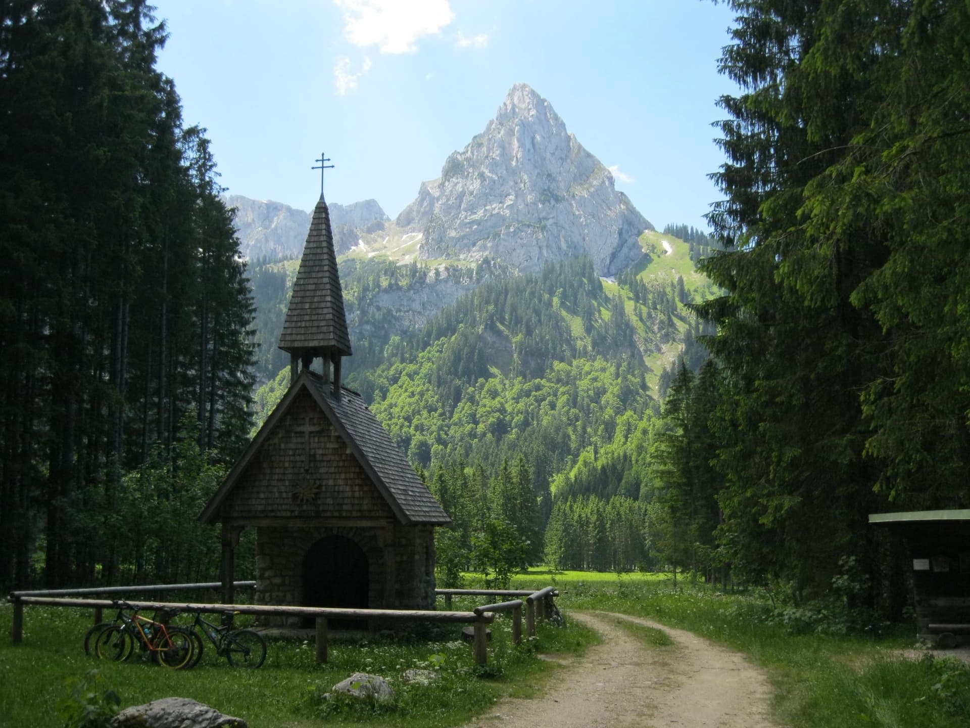
The Geiselstein from the Wankerfleck chapel, where the approach starts; the south face is on the far side

Germany · Ammergauer Alpen

Südverschneidung

The classic way up the Geiselstein, the 'Matterhorn of the Ammergau Alps'. After two scrappy pitches it follows a slabby corner system up the middle of the sunny south face: steep, exposed and on good rock, at about UIAA IV with one polished move of V at the start of the corner. The descent by the normal route needs as much care as the climb.

5a7 pitches260 m

The Geiselstein and Gabelschrofen in the Ammergebirge nature reserve

Germany · Ammergauer Alpen

Balisto

The popular sport line of the Geiselstein south face, straight up to the summit cross. Long, steep pitches on excellent rough limestone, sustained at UIAA 6- to 6 with two short passages of 6+ and one easier pitch on less reliable rock. Never easy and never crowded with bolts: you climb between them.

6a+5 pitches210 m

Read the cautions

A view of the region, not this route's wall. The Hochplatte in the Ammergau Alps seen from the east in early summer; the Schlössel crag is on this side of the massif but cannot be picked out.

Germany · Ammergauer Alpen

Besser leben mit M.

Six sustained pitches up stepped diagonal corners, compact slabs and steep walls on the very rough limestone of the Kenzenkopf, an hour from the Kenzenhütte. The first pitch is the hardest, at UIAA 7 to 7+ with acrobatic moves on holdless slabs; the rest stays between 6 and 7. Sunny until late afternoon and far quieter than the Geiselstein.

6c6 pitches180 m

Around 6a+ · about 16 pitches

Similar elsewhere

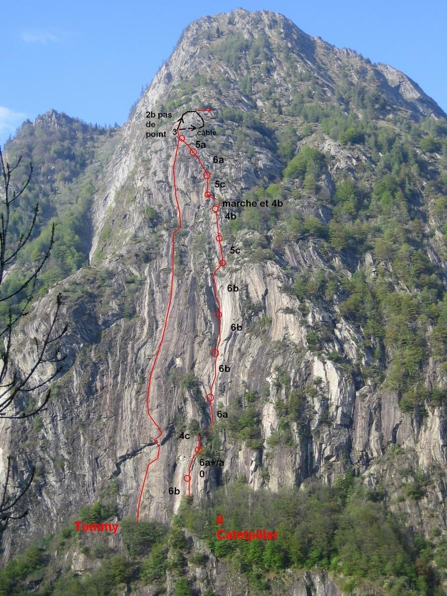
The south-west face of Mont Charvatton above Terrisse with the lines of Tommy (left) and Caterpillar (right)

Italy · Aosta Valley

Tommy

A very long slab route on excellent rough gneiss at the mouth of the Champorcher valley: fifteen pitches, most of them 5c, several close to 50 m. The one steep passage is a roof on pitch 3 that almost everyone aids on the bolts (6b+ free). A band of trees splits the route in two, and the upper half is the more attractive.

6a+15 pitches600 m

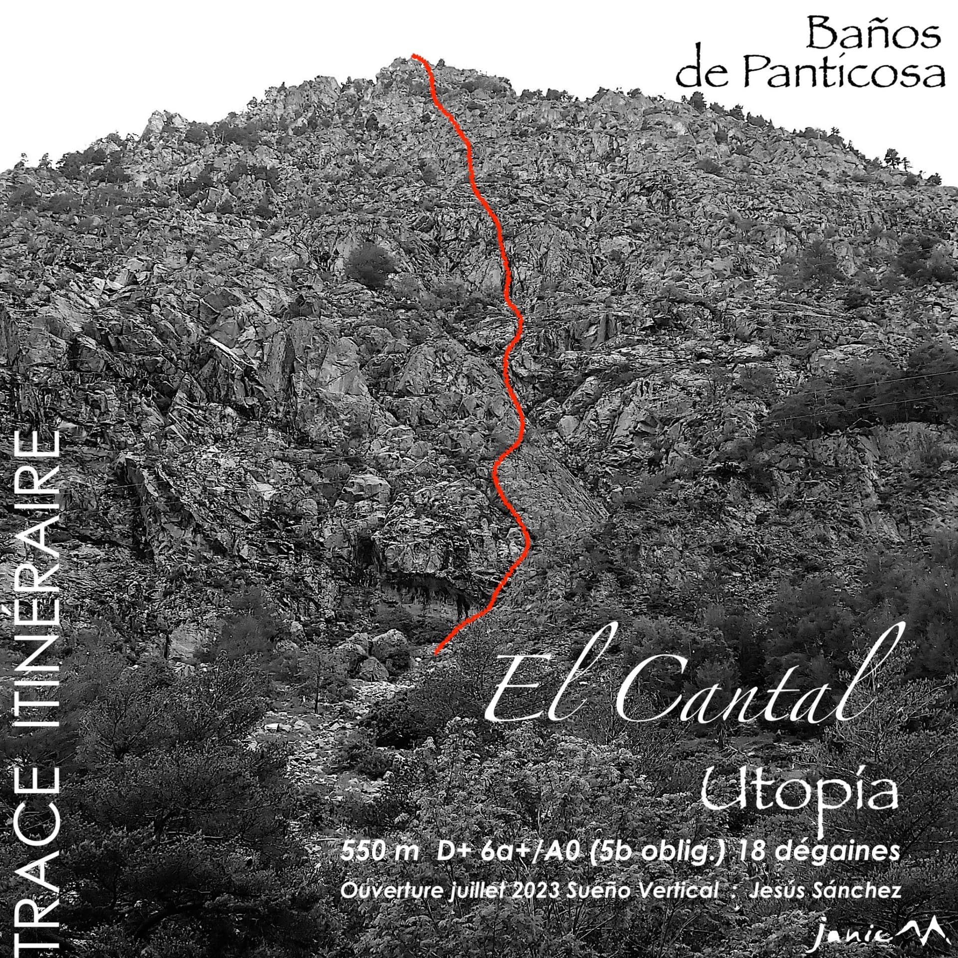
The El Cantal wall below Baños de Panticosa with the line of Utopía

Spain · Aragonese Pyrenees (Tena & Canfranc valleys)

Utopía

Fifteen pitches up a broken granite wall that nobody had climbed on before 2023, probably the longest bolted route at Panticosa. Corners, steps and slabs at around 5b, cut by ledges and terraces, with isolated moves of 6a and a 6a+ corner on the last pitch that are not obligatory. Sun from first thing. The length is the attraction; repeat parties find the climbing pleasant but discontinuous.

6a+15 pitches550 m

The rock towers of the Ratengrat on the Röthelstein above Mixnitz, where the first half of the route climbs

Austria · Grazer Bergland

Don Kamille und Pepperone

Possibly the longest route in the Grazer Bergland: sixteen pitches that start up the Ratengrat (Don Kamille) and continue up the Breite Wand (Pepperone). The lower half is among the best climbing on the Ratengrat; the upper half begins gently over slabby steps in the forest and then steepens. Two passages of UIAA 7- and several of 6+.

6b16 pitches440 m

The Dom slab at Gerstenegg, which Ameisenrennen climbs from its lowest point to the top

Switzerland · Grimsel

Ameisenrennen

Seventeen pitches up the whole height of the Dom slab above the Räterichsbodensee: a first steep step, a long easier middle of pure friction, and a steeper finish with an overhanging crack the first ascensionists named the Teufelsriss. Two short 6a passages go on aid at 5b+. Rough, grippy granite and comfortable belays throughout.

6a17 pitches500 m

Compiled from published sources and last verified October 2026. Bolts, anchors and access change. Climbing is dangerous and you are responsible for your own decisions: check a current topo and read the disclaimer.