Multipitch Atlas

Tommy

Mont Charvatton (Terrisse, Pontboset, Champorcher valley) · Aosta Valley · Italy

Easy to bailBolting confidence: high

A very long slab route on excellent rough gneiss at the mouth of the Champorcher valley: fifteen pitches, most of them 5c, several close to 50 m. The one steep passage is a roof on pitch 3 that almost everyone aids on the bolts (6b+ free). A band of trees splits the route in two, and the upper half is the more attractive.

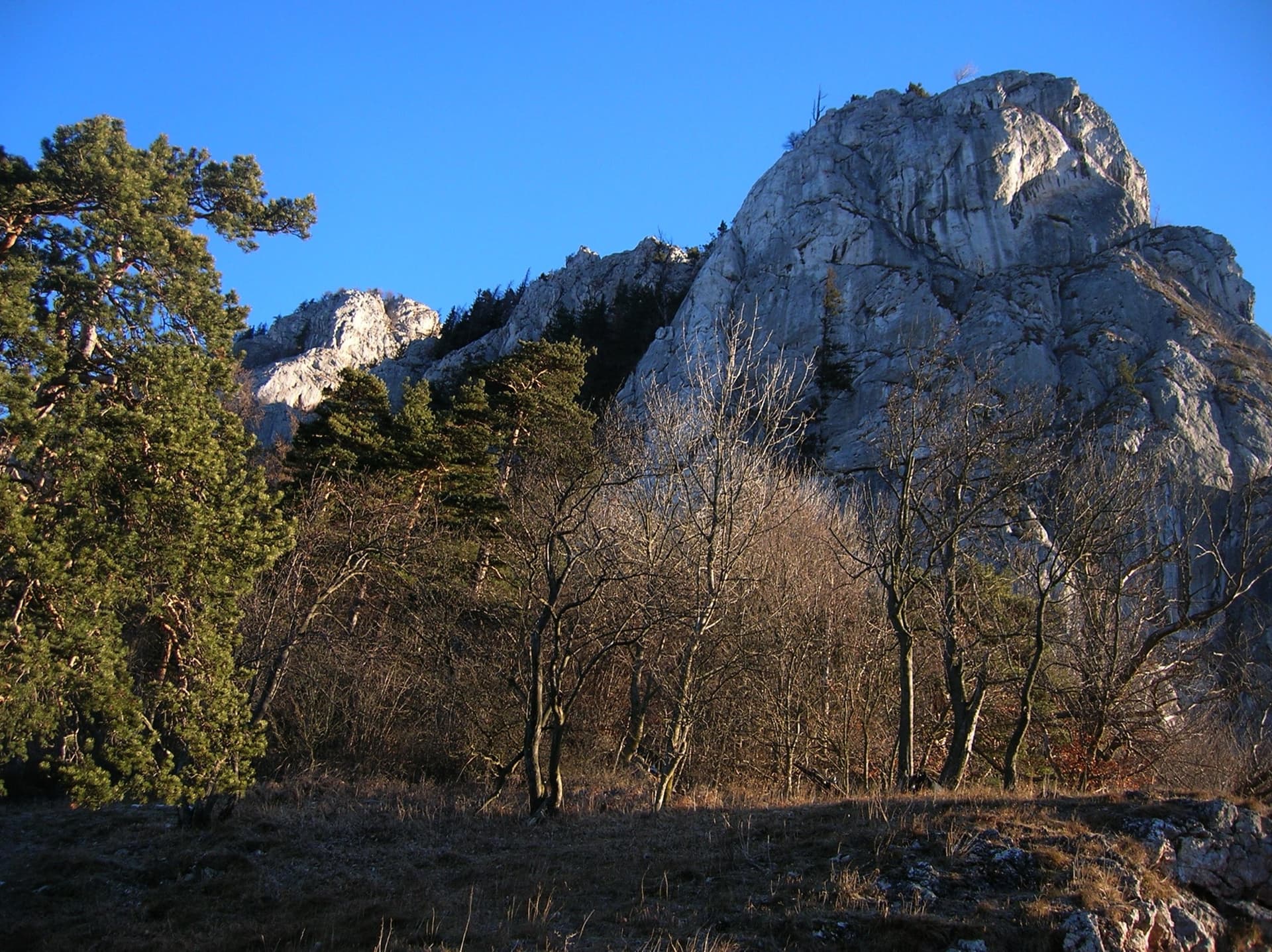
The south-west face of Mont Charvatton above Terrisse with the lines of Tommy (left) and Caterpillar (right)Photo: geoffrey clin · CC BY-SA 3.0

Topo

The south-west face of Mont Charvatton above Terrisse with the lines of Tommy (left) and Caterpillar (right)Photo: geoffrey clin · CC BY-SA 3.0
Hardest pitch
6a+
Pitches
15
Length
600 m
Approach
25 min
Aspect
SW
South-west-facing
Rope
2×60 m

The route

Overview

Tommy is the popular long route on the south-west flank of Mont Charvatton, above the hamlet of Terrisse near Pontboset. It gains about 450 m in fifteen pitches, nearly all on featured slabs with pockets and quartz veins. After a hard move on pitch 2 comes the only strenuous section, a short overhanging wall on pitch 3 that is climbed on aid. Nine pitches lead to a wooded terrace; six more, on a vague spur and then easy slabs, reach the end of a footpath. It was fully rebolted in 2019 and 2020, and you can either abseil the line or walk off to Courtil. It is the easiest of the three long routes here; Caterpillar and Quarant'anni di Emozioni start nearby.

The climbing

Pitch by pitch

Pitches of Tommy
PitchGradeBoltsNotes
P15c7 boltsAn easy slab with the bolts far apart at first (three in the first 30 m), then a wide crack slanting up left and a delicate traverse right, with four close bolts, to a belay on a pulpit. Gulliver gives 45 m.
P26a+8 boltsDiagonally right to a vertical step, climbed direct, then a slab that is not easy and a traverse right over a second step. For many the hardest free pitch. Gulliver gives 30 m.
P35c/A015 boltsA first step, then an overhanging wall climbed leftwards on the bolts (strenuous; 6b+ if freed, two moves) and a traverse of 10 to 15 m back right at 5c with bolts very close together. The belay is on three bolts. Fifteen quickdraws are needed. About 20 m.
P45b/c11 boltsStraight up, then gradually right, with a few delicate friction moves that are well protected.
P55c14 boltsSlightly left, then a long way up a broad, vague pillar.
P65c13 boltsLeftwards into a wide runnel with deeply fissured rock, easy but wet after rain. The exit to the belay is delicate but well bolted. Do not follow the obvious flake that leads up right near the top: the belay is on the left and is hard to reach from there.
P75c13 boltsA sort of corner rising left, then slabs, a small overhang and more slabs.
P85a8 boltsThe wall lies back: easy-angled slabs diagonally left. A full 50 m.
P93b6 boltsVery easy slabs to the wooded terrace. Walk right under the copse (fixed rope) to the foot of the next rocks; the first bolt is about 4 m up at the base of a spur.
P105c11 boltsSplendid climbing on a vague spur, with a delicate traverse left to the belay.
P115c8 boltsThe first bolt is rather high. A steeper, well-featured wall on good holds, then left of the edge.
P125c18 boltsA very fine pitch up a broad chute of perfect rock, like a toboggan run, with a move at the start and another at the end over two bulges. Leave the chute on the right by a delicate slab move.
P135a–A pleasant crack and easy slabs.
P143+–Easier slabs to the belay with a cable. This is where the abseil descent starts.
P15310 boltsJust over 50 m of very easy slab to the fence at the end of the footpath from Courtil. Only needed if you walk off.

Getting there

Approach

To the parking

From the A5 motorway leave at Pont-Saint-Martin (or Verrès from the north), follow the main road to Bard and Hône and turn into the Champorcher valley. Stay on the valley road through Pontboset. Shortly after the village, just before a tunnel, a small road turns sharply right to Terrisse and ends after about 300 m. Parking is very limited: three or four cars at the road end, plus a few spaces beside the valley road just before the Terrisse turn-off. There is a gîte at Courtil, ten minutes up the valley, and the Auberge de la Gare at Hône is recommended by a 2022 party.

On foot · about 25 min

20 to 30 min. At the road end a sign painted in red on a retaining wall shows the way. Take the path that leaves immediately on the right just after the parking, in front of the houses, and do not go in among them. It climbs through the wood, marked with red dots and yellow arrows. The signpost reading 'Mont Chavorton' leads to the routes, not the summit. Three routes start about 100 m apart: Tommy is the last one, after a metal ladder, and has a plaque with its name at the base.

Map of the walk-in

  • Area: approximate
  • Parking

Loading map

The point is approximate: it marks the area, not the crag.

Coordinates · area: approximate

45.61877, 7.69004

Parking

45.60923, 7.68544

Terrisse road end (camptocamp access point 226767)

Point from camptocamp waypoint 43612 (summit of Mont Charvatton; the route is on the south-west flank below it)

For your phone or watch

Download GPX

Contains the route point and parking. Opens in most mapping apps and GPS watches.

Points are compiled from published sources, with the precision stated above. They were not surveyed on the ground: check them against a current topo.

Getting down

Descent

Two options. (1) Abseil the route with two ropes from the cable belay at the top of pitch 14: camptocamp counts 11 abseils, Scuola Guido della Torre 13. The line is not exactly the line of ascent. From the terrace, one short abseil reaches the foot of pitch 10, and below that you keep right of the tree to an abseil anchor under a small overhang that is not used on the way up. The belays of pitch 7 and pitch 3 are also skipped in favour of anchors about 20 m to the left (facing in). From the second belay a full 60 m abseil reaches the ground. Allow 1 h 30 min to 2 h 30 min, more if the route is busy. (2) Walk off: climb pitch 15 to the fence and follow the comfortable red-marked path to the hamlet of Courtil in about 45 min. From there it is 45 min to an hour on foot down the road to Terrisse, unless you have left a second car.

Retreat

Bailing off the route

Easy to bail

Abseiling the route is one of the two normal descents, so retreat is well provided for. Scuola Guido della Torre says you can stop the climb at any point because the abseils use almost all of the route's belays, and a 2022 party found the abseil line well equipped with chained belays. You need two ropes.

Retreat from
Any belay. From the wooded terrace above pitch 9 one short abseil regains the line. Two abseil anchors are off the line of ascent (left of the pitch 7 and pitch 3 belays, facing in), so look for them on the way up.
Point of no return
None stated. From the top you can choose between abseiling and the walk-off to Courtil.
Carry
Two ropes; 60 m is the safe length (pitch 8 is 50 m and the last abseil is a full 60 m).
Basis
Stated in the sourcesCamptocamp and Scuola Guido della Torre both describe the abseil descent in detail.

Safety

Hazards

  • On the easy slabs the bolts are 5 to 10 m apart. This matters most when the rock is damp, because the climbing is pure friction (October 2024 report).
  • The start of pitch 1 has three bolts in 30 m.
  • The abseils are long and slow, especially with other parties on the route, and two of them leave the line of ascent. Start down early: a 2022 party began abseiling Tommy at 18:15 and reached the ground at 20:30.
  • Parking at Terrisse holds only three or four cars.
  • If you walk off without a second car you have about an hour of road walking back to Terrisse.

Sun and weather

Conditions

South-west facing between about 1000 and 1450 m. The wall is in shade until about 10:30 and a 2023 party got the sun from 11:00. Spring and autumn are best; the Scuola says all year except winter. The central runnel (pitch 6) drains the wall and stays wet for days after rain, which also makes the lower slabs slippery. Go only after a few dry days. A wet pitch 6 can be avoided from the fifth belay by pitches 5 to 9 of Quarant'anni di Emozioni on the right, which rejoin at the foot of pitch 10. Climbing times range from 4 h to 7 h 30 min; with the abseils this is a full day.

Usual season · Apr to Jun, Sep to Oct

Sun on the wall · SW-facing

Working out the sunlit hours for this month.

  • January: not yet worked out
  • February: not yet worked out
  • March: not yet worked out
  • April (usual season): not yet worked out
  • May (usual season): not yet worked out
  • June (usual season): not yet worked out
  • July: not yet worked out
  • August: not yet worked out
  • September (usual season): not yet worked out
  • October (usual season): not yet worked out
  • November: not yet worked out
  • December: not yet worked out

Sun on the wallDaylight, wall in shade● Usual season

Estimated from the wall's aspect only. Ignores surrounding terrain, gullies and the wall's exact shape. Clock times are local to the wall (Central European time), for the 15th of each month.

Monthly climate averages for Aosta Valley, 1991-2020
MeasureJanFebMarApr (usual season)May (usual season)Jun (usual season)JulAugSep (usual season)Oct (usual season)NovDec
Mean daily high °C−20371117202016103−1
Mean daily low °C−8−8−5−148111172−4−8
Rain days 1 mm or more121112131616151312121312

● marks the usual climbing season. Averages for 1991-2020 at about 1489 m. Area climate from Open-Meteo reanalysis. Temperatures are adjusted to the height of the crag; rain comes from a grid cell of about 10 to 25 km, and summer highs on sea cliffs can read a few degrees low. The wall and valley can differ. Data: Open-Meteo, CC BY 4.0.

What to carry

Gear

16 quickdraws (pitch 12 has 18 bolts and pitch 3 has 15, but you can back-clean on easy ground). Two ropes of 60 m if you abseil; camptocamp's English page says 2×50 m, but the Scuola measured pitch 8 at exactly 50 m and the last abseil is given as a full 60 m. A sling or short etrier helps on the aid moves of pitch 3. Cams and nuts are not needed. Helmet.

Checklist

Quickdraws
16
Rope
2×60 m
Helmet
One each
Abseil device and prusik
The descent or the retreat involves abseiling

Derived from the route data; check it against a current topo

From climbers

Reader reports

Reader reports are not being collected yet. Until they are, check a current topo and the local club or guidebook publisher for recent changes to Tommy.

Worth knowing

Tips

  • Almost everyone aids the roof on pitch 3; with a sling in a bolt it is a few moves of A0, and the obligatory grade of the route is 5c.
  • Scuola Guido della Torre notes you can break off the climb at any belay because the abseils use nearly all the route's stances.
  • An October 2024 party found the second half, above the terrace, the most beautiful part of the route.
  • tvmountain filmed the route in June 2019; the video is linked from the camptocamp page.

Open questions

Where sources disagree

  • Number of pitches: 15 on camptocamp's French page (used here, counting the easy exit to the path), 14 at Scuola Guido della Torre and on camptocamp's English page, 16 on gulliver.it, which splits the easy top slabs differently.
  • Grade: camptocamp gives 6a+ with A0 (6b+ free); the Scuola gives 6a and A0 with 5+ obligatory; gulliver.it heads the route 6c with 5b obligatory, although its own pitch list tops out at 6b+.
  • Camptocamp's English page grades pitch 9 as 6c. Every other source gives grade 3, so this is treated as a typing error.
  • Pitch grades after the terrace: camptocamp's French page gives 5c, 5c, 5c; the Scuola and gulliver.it give 6a for one or more of them.
  • Length: about 600 m of climbing for 450 m of height gain (Scuola); camptocamp gives 500 m of difficulties.
  • Abseils: 11 (camptocamp) against 13 (Scuola). Ropes: 2×50 m (camptocamp English) against 60 m ropes recommended (gulliver.it).
  • First-pitch cams: the Scuola's report, written in 2000 before the rebolt, says two medium cams may help on pitch 1; camptocamp's current page says cams and nuts are of no use.

Provenance

Sources

Same area

More in Aosta Valley

All routes in Aosta Valley
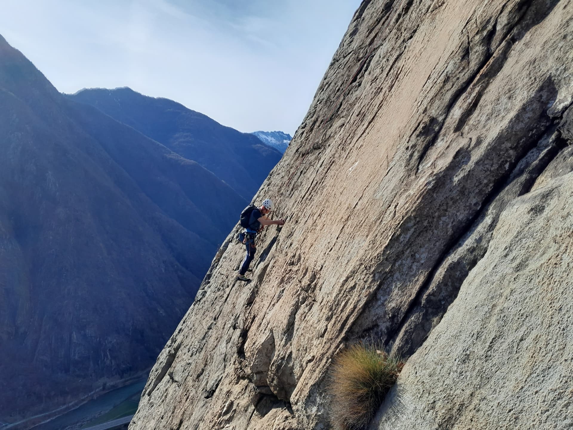
A climber on the sweeping gneiss slab of Bucce d'Arancia on the Paretone di Arnad (Corma di Machaby), with the Dora Baltea valley in shadow far below.

Italy · Aosta Valley

Bucce d'Arancia

This is the most-climbed route on the Paretone. It gives sustained, varied slab and crack climbing on good gneiss, and the hardest moves are a fine crack on P2, a slanting corner and a punchy wall. Queues are common on good days. The Mani Nude guidebook grades it stiffly; camptocamp's Italian page calls it sustained at 5b–5c+ with a single 6a.

6a10 pitches290 m

Read the cautions
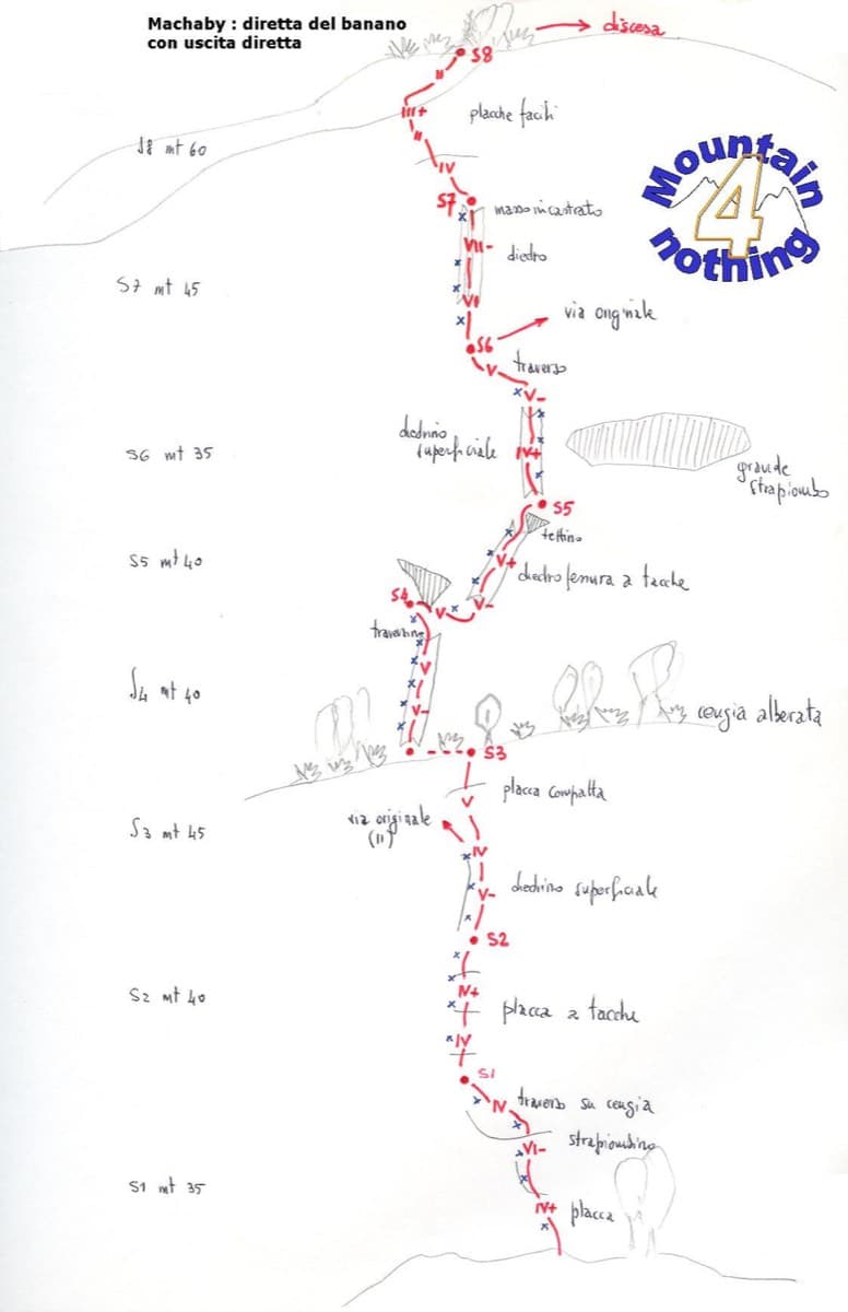
Hand-drawn topo of Diretta al Banano (direct finish), Corma di Machaby

Italy · Aosta Valley

Diretta al Banano

Along with Bucce d'Arancia this is the Paretone's other great classic (first ascent 1977, later retro-bolted). It climbs big, juggy, non-athletic slabs on beautiful rock up the centre of the wall to near the summit. Expect a few metres above the last bolt in places.

5c+9 pitches250 m

Read the cautions

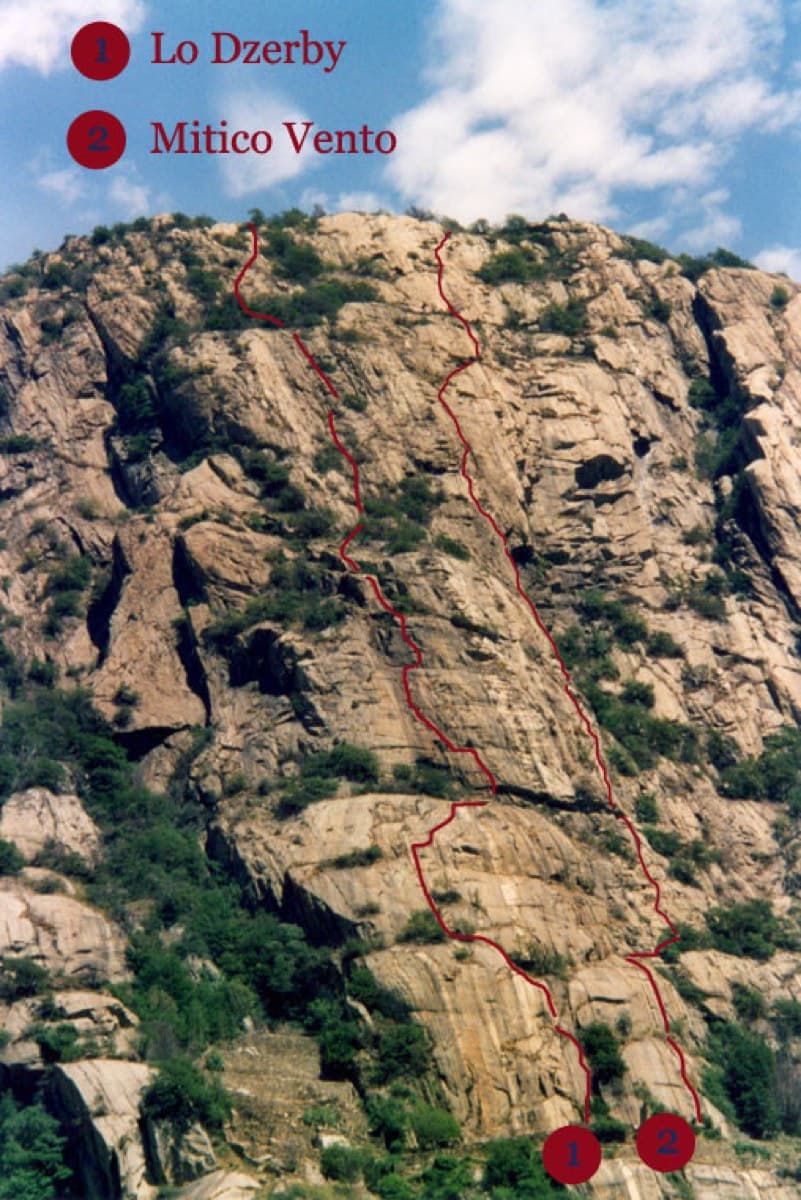
Topo of Lo Dzerby (line 1) and Mitico Vento on the Corma di Machaby, Arnad

Italy · Aosta Valley

Lo Dzerby

A long, easy-angled outing up the full height of the Paretone. A steeper lower half with an exposed pillar on P5 leads to sculpted slabs and broken steps higher up. It's a good first big multipitch.

5c13 pitches400 m

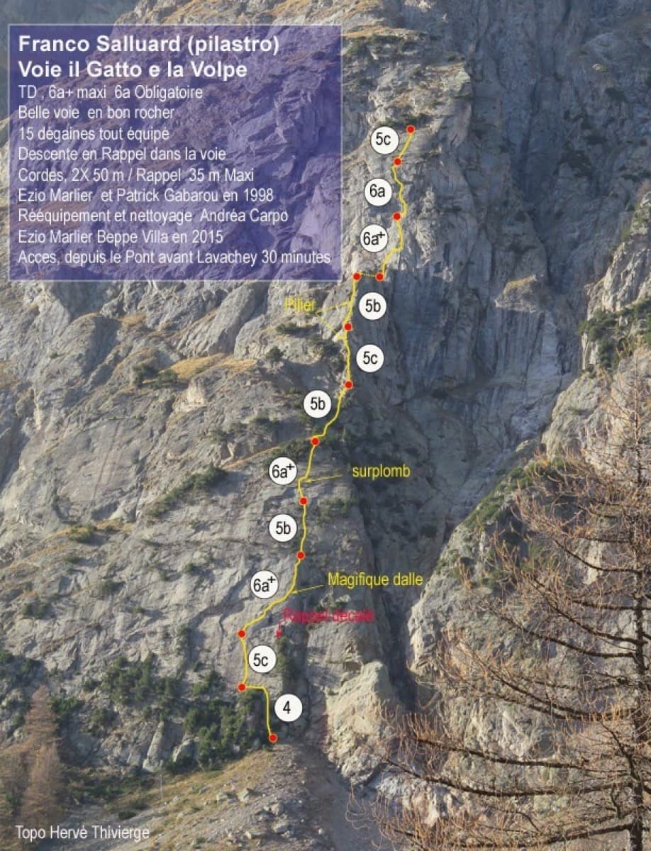
Topo of Il Gatto e la Volpe on the Pilier Franco Salluard, Val Ferret

Italy · Aosta Valley

Il Gatto e la Volpe

Rated 'great' on camptocamp: a wild setting with a short, easy approach from Lavachey. It climbs edgy granite slabs and a pillar crest, with a three-star exposed slab on P9.

6a+11 pitches350 m

Around 6a+ · about 15 pitches

Similar elsewhere

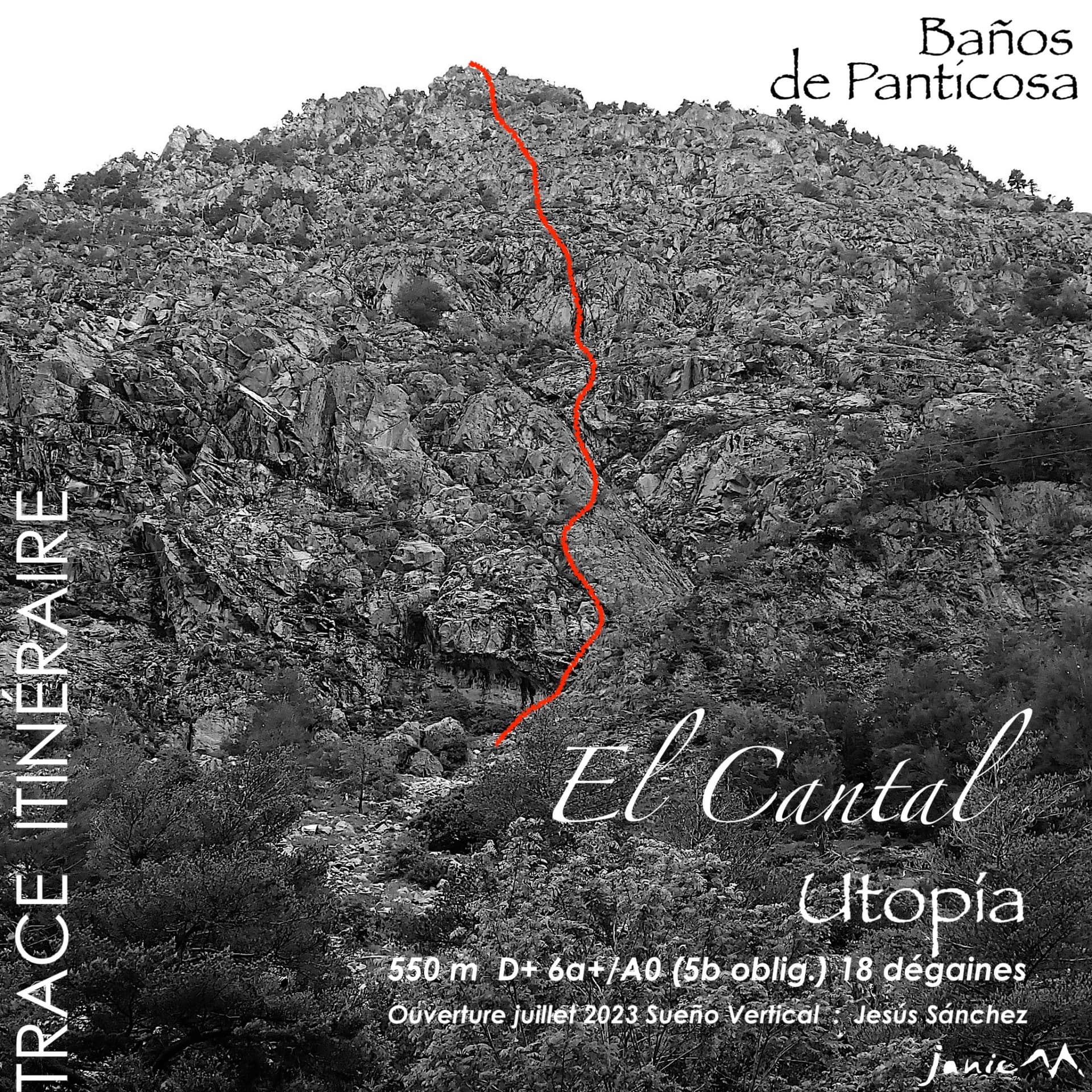
The El Cantal wall below Baños de Panticosa with the line of Utopía

Spain · Aragonese Pyrenees (Tena & Canfranc valleys)

Utopía

Fifteen pitches up a broken granite wall that nobody had climbed on before 2023, probably the longest bolted route at Panticosa. Corners, steps and slabs at around 5b, cut by ledges and terraces, with isolated moves of 6a and a 6a+ corner on the last pitch that are not obligatory. Sun from first thing. The length is the attraction; repeat parties find the climbing pleasant but discontinuous.

6a+15 pitches550 m

The Säuling (right) and the ridge of the Pilgerschrofen seen from Unterpinswang, to the west

Germany · Ammergauer Alpen

Guat g'flickt in Reutte

The longest route on the Säuling: sixteen pitches up the west face to the summit cross, above Neuschwanstein and the lakes of the Allgäu. The lower part links pillars, traverses and some broken ground at UIAA 3 to 6+; the headwall is steep and compact, with a short aid passage and fine corners. Generously bolted, so a weaker second still has a good day.

6a+16 pitches360 m

The rock towers of the Ratengrat on the Röthelstein above Mixnitz, where the first half of the route climbs

Austria · Grazer Bergland

Don Kamille und Pepperone

Possibly the longest route in the Grazer Bergland: sixteen pitches that start up the Ratengrat (Don Kamille) and continue up the Breite Wand (Pepperone). The lower half is among the best climbing on the Ratengrat; the upper half begins gently over slabby steps in the forest and then steepens. Two passages of UIAA 7- and several of 6+.

6b16 pitches440 m

The south face of the Tête de la Maye above La Bérarde

France · La Bérarde (Écrins)

Maye Friend

Fifteen pitches up the steeper centre of the face: steep cracks and walls in the first third, then a long sequence of sometimes very thin friction slabs. Mostly 5c to 6a+ with one short 6b+ that goes at A0. Rated among the best on the wall and much quieter than its famous neighbour.

6b+15 pitches400 m

Compiled from published sources and last verified October 2026. Bolts, anchors and access change. Climbing is dangerous and you are responsible for your own decisions: check a current topo and read the disclaimer.