
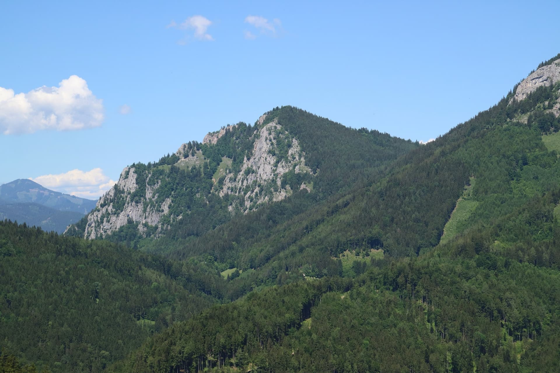
Austria · Grazer Bergland
Strauchdieb
A new (2025) nine-pitch outing on the right edge of the Breite Wand that weaves between the bushes. Three spots of UIAA 5-/5, otherwise easier. Still a little earthy in places.
5a9 pitches260 m
Röthelstein – Ratengrat and Breite Wand · Grazer Bergland · Austria
Bail with caveatsBolting confidence: high
Possibly the longest route in the Grazer Bergland: sixteen pitches that start up the Ratengrat (Don Kamille) and continue up the Breite Wand (Pepperone). The lower half is among the best climbing on the Ratengrat; the upper half begins gently over slabby steps in the forest and then steepens. Two passages of UIAA 7- and several of 6+.
The route
Don Kamille und Pepperone links two 2021 routes into a 440 m outing on the Mixnitz side of the Röthelstein. Don Kamille climbs the Ratengrat and is described by bergsteigen.com as one of the best routes there; Pepperone continues up the Breite Wand, first over slabby steps in the forest and then on steeper and harder ground. The highlights are the 'Fakirplatte' slab on pitch 3 and a hard crack on pitch 14. The hardest moves are UIAA 7- (about 6b) with 6 (about 5c+) obligatory. Several marked escapes lead off right in the middle of the route, which makes the length less committing than it sounds.
The climbing
| Pitch | Grade | Notes |
|---|---|---|
| P1 | – | Starts at the black thread sling. |
| P2 | – | A smooth corner. |
| P3 | – | The 'Fakirplatte', a slab that is one of the two highlights of the route. |
| P4 | – | Not described. |
| P5 | – | A crack that is steep at first and then chimney-like. |
| P6 | – | Not described. Escape possible to the right (looking down) through the Fuchsloch. |
| P7 | – | Not described. After this pitch you can leave the route over the Gamswiese. |
| P8 | – | Not described. After this pitch you can traverse off right to the Gamswiese. |
| P9 | – | Shown in a photo but not described. Escape right to the Gamswiese afterwards. |
| P10 | – | Not described. Last of the pitches with an escape right to the Gamswiese. |
| P11 | – | A fine slab. |
| P12 | – | Includes some brittle metres. Can be linked with pitch 13. |
| P13 | – | A short slab pillar. |
| P14 | – | The second highlight: a difficult crack. |
| P15 | – | Some brittle metres at the end. |
| P16 | – | Not described; the last pitch, to the exit. |
Getting there
Drive to Mixnitz from Graz or Bruck an der Mur. In the village do not turn left for the Bärenschützklamm but continue straight on beside the railway to the car park signed 'Drachenhöhle', by the tennis court at the southern end of the village (about 450 m). Trains between Graz and Bruck an der Mur stop at Mixnitz.
About 45 min. From the Drachenhöhle car park follow the road briefly, then turn left onto the waymarked trail towards the Drachenhöhle. Follow it for about 30 min, crossing two forest roads, until a path turns off right in the forest between two boulders, the upper one with a white arrow and the lower one with 'KS' in red. Take it through bushes and open beech wood to the foot of the rock (the Gösserwand). The path leads right and, shortly after the Gösserwand, a track branches left to the start of the Ratengrat Normalweg. From there follow the wall, descending briefly in places, past single-pitch routes on a steep smooth slab, until the path rises again and moves about 20 m away from the rock. At a large fallen tree (as of 2018) go left to the wall, where a black thread sling is clearly visible. Start at about 800 m.
Loading map
The point marks the crag, not the exact start of the route.
Parking
Drachenhöhle car park by the tennis court, Mixnitz (bergsteigen.com marker)
Point from bergsteigen.com map marker for the start, labelled 'ungefähr!' (approximate)
Contains the route point and parking. Opens in most mapping apps and GPS watches.
Points are compiled from published sources, with the precision stated above. They were not surveyed on the ground: check them against a current topo.
Coordinates: 47.32191, 15.37834 (crag) · Parking: 47.32258, 15.36916
Getting down
From the exit keep right (looking down), descending slightly, to a faint path. It traverses at first, then follows blue dots and, above rock steps, makes a marked traverse right to the Drachenhöhle. From the cave take the waymarked hiking trail back down to the tennis court in Mixnitz. bergsteigen.com allows 1 h.
Retreat
Bail with caveats
The source lists several 'emergency exits' on foot in the middle of the route: right (looking down) through the Fuchsloch on pitch 6, over the Gamswiese after pitch 7, and by traversing right to the Gamswiese after pitches 8, 9 and 10. The Gamswiese is the normal descent from the Ratengrat. Retreat from the first five pitches or from the last six is not described.
Safety
Sun and weather
South facing, starting at about 800 m. bergsteigen.com shows a season from April to October; July and August are left out here because the south faces of the Grazer Bergland are hot in midsummer and the route takes about five hours of climbing.
Sun on the wall · S-facing
Working out the sunlit hours for this month.
Sun on the wallDaylight, wall in shade● Usual season
Estimated from the wall's aspect only. Ignores surrounding terrain, gullies and the wall's exact shape. Clock times are local to the wall (Central European time), for the 15th of each month.
| Measure | Jan | Feb | Mar | Apr (usual season) | May (usual season) | Jun (usual season) | Jul | Aug | Sep (usual season) | Oct (usual season) | Nov | Dec |
|---|---|---|---|---|---|---|---|---|---|---|---|---|
| Mean daily high °C | 0 | 2 | 6 | 11 | 15 | 19 | 21 | 20 | 16 | 11 | 6 | 1 |
| Mean daily low °C | −8 | −7 | −3 | 1 | 6 | 9 | 11 | 11 | 7 | 3 | −1 | −6 |
| Rain days 1 mm or more | 8 | 8 | 10 | 12 | 15 | 16 | 15 | 15 | 11 | 11 | 10 | 9 |
● marks the usual climbing season. Averages for 1991-2020 at about 947 m. Area climate from Open-Meteo reanalysis. Temperatures are adjusted to the height of the crag; rain comes from a grid cell of about 10 to 25 km, and summer highs on sea cliffs can read a few degrees low. The wall and valley can differ. Data: Open-Meteo, CC BY 4.0.
What to carry
11 quickdraws, a few slings, helmet and a single 50 m rope.
Derived from the route data; check it against a current topo
From climbers
Reader reports are not being collected yet. Until they are, check a current topo and the local club or guidebook publisher for recent changes to Don Kamille und Pepperone.
Worth knowing
Open questions
Provenance
Same area
Austria · Grazer Bergland
A new (2025) nine-pitch outing on the right edge of the Breite Wand that weaves between the bushes. Three spots of UIAA 5-/5, otherwise easier. Still a little earthy in places.
5a9 pitches260 m
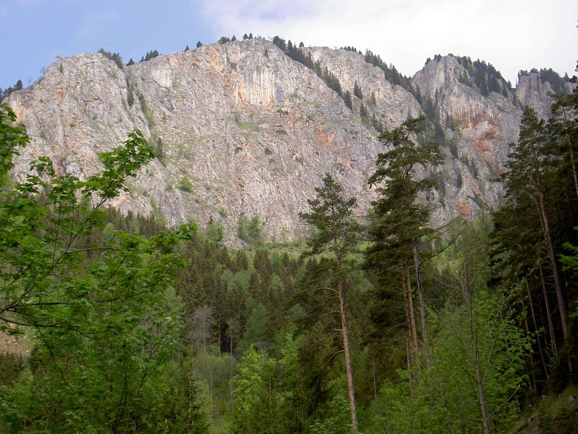
Austria · Grazer Bergland
An easy ridge route up the left-hand end of the Rote Wand, first climbed in 1982. The rock is completely solid and the climbing uneven in difficulty, mostly UIAA 4 with a few moves of 4+ and 5. The hand-traverse on the penultimate pitch is the highlight. Somewhat polished.
5a7 pitches225 m
Read the cautions
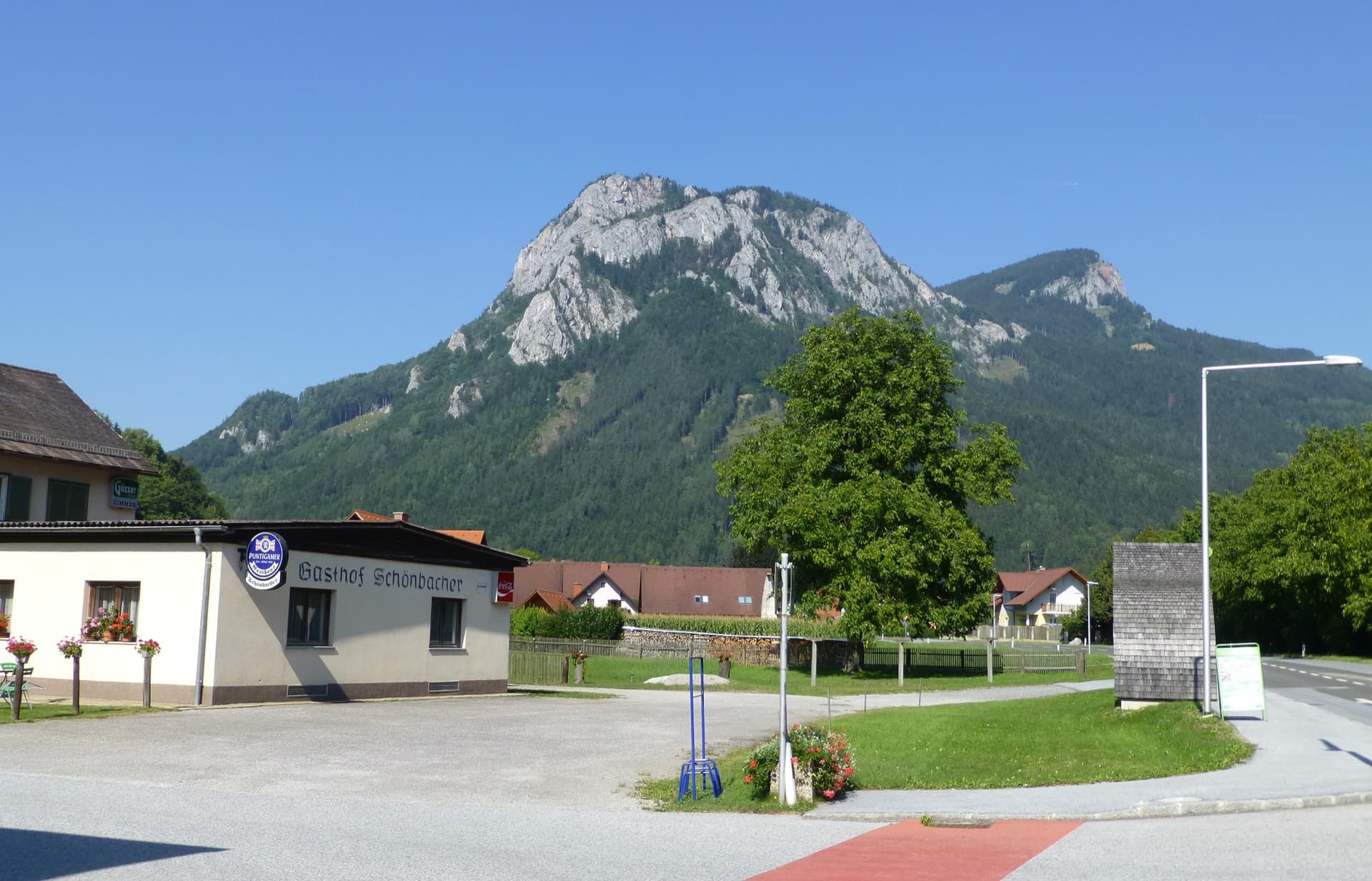
Austria · Grazer Bergland
One of the longest climbs in the Grazer Bergland: thirteen pitches and about 520 m up the south-west face of the Röthelstein above Mixnitz, mostly easy with one passage of UIAA 6- and three of 5+. Varied and well cleaned, on mostly solid rock, with some scrambling and walking sections between the good pitches.
5c13 pitches525 m
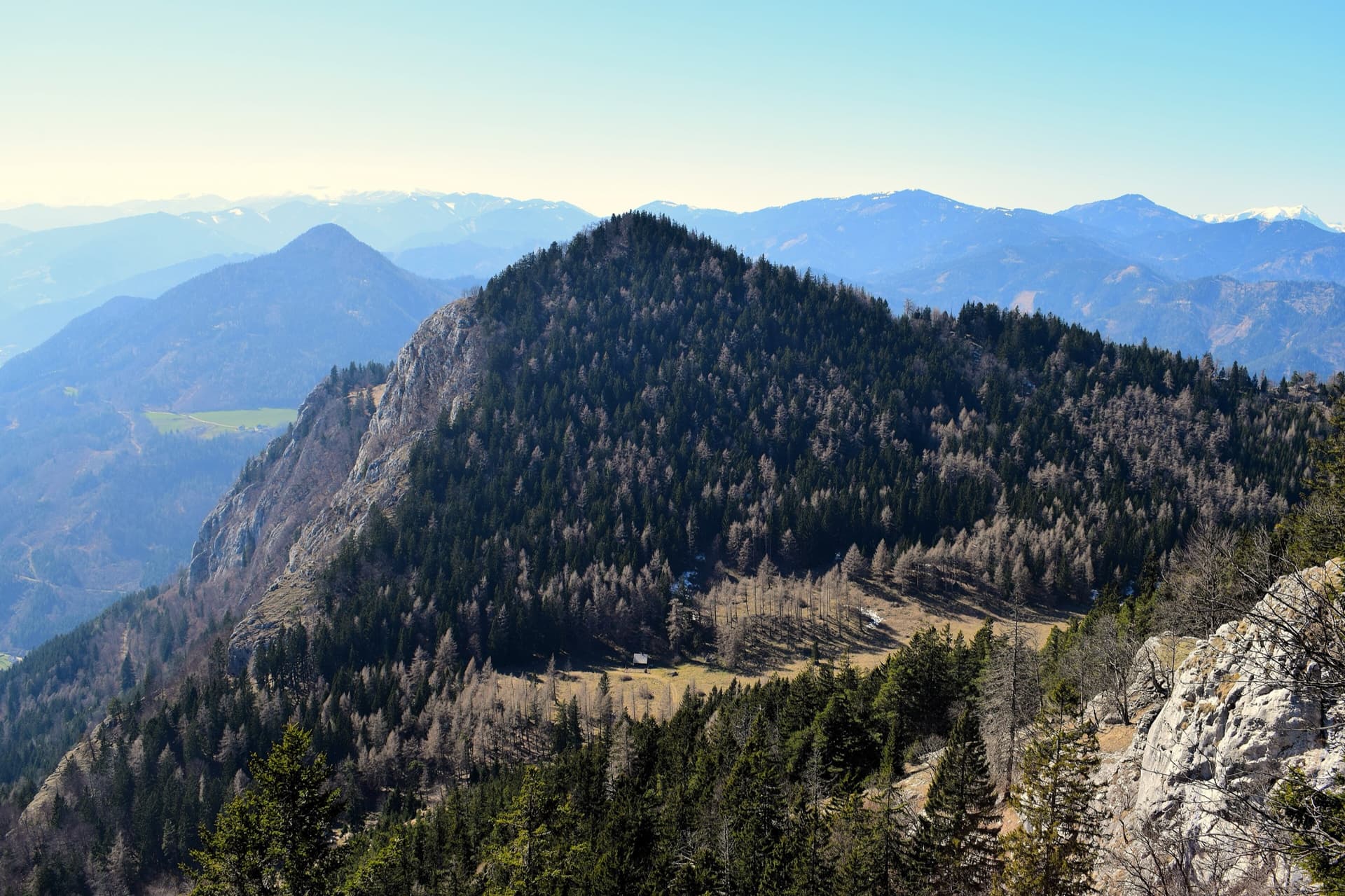
Austria · Grazer Bergland
A modern plaisir line on the south-east spur of the Röthelstein, finished in 2018 by linking three old, forgotten pitches with six newly cleaned ones. The fifth and sixth pitches are rated among the best on the Röthelstein. UIAA 6+ at the hardest, with only 5 obligatory.
6a+10 pitches315 m
Around 6b · about 16 pitches
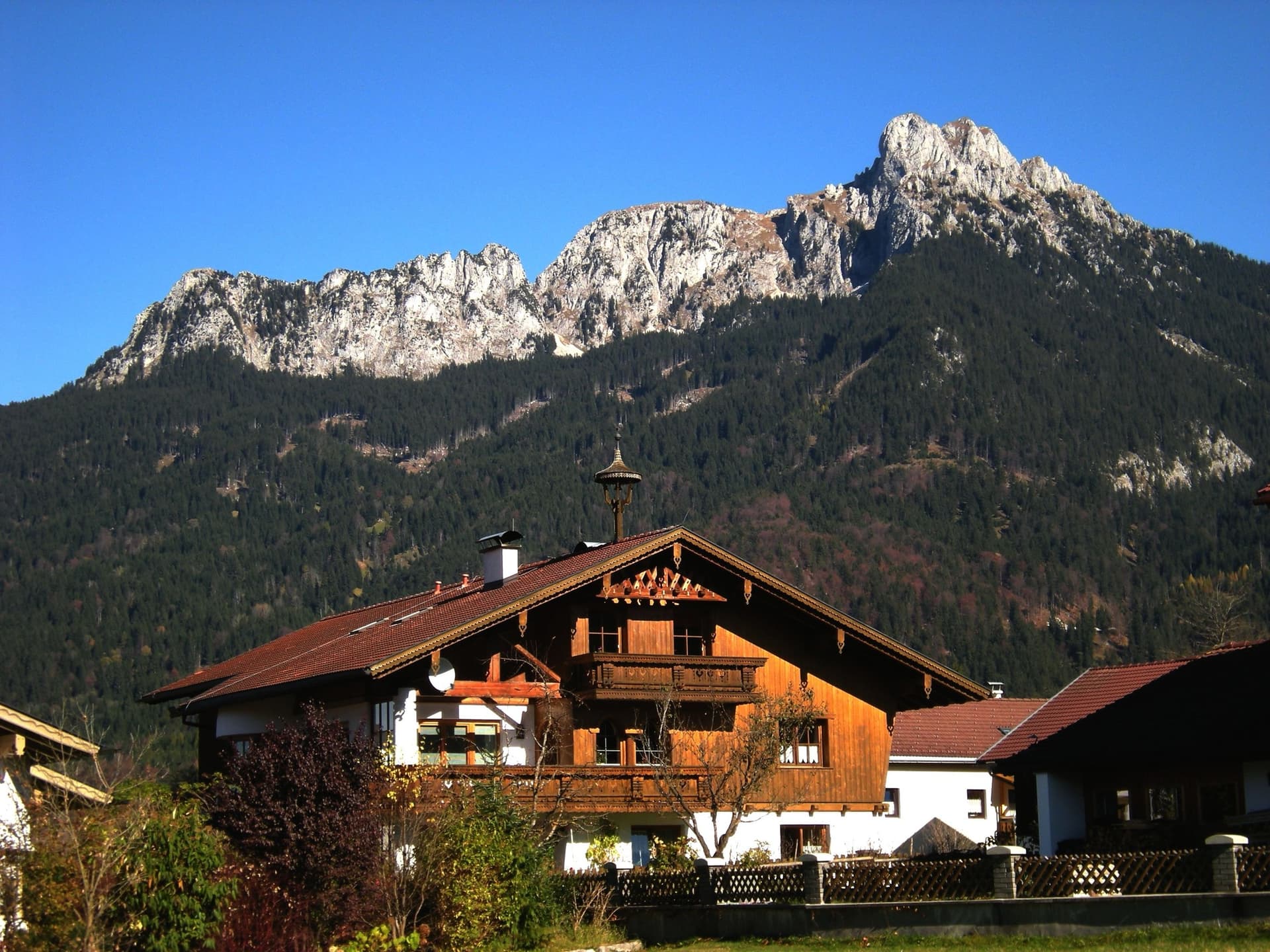
Germany · Ammergauer Alpen
The longest route on the Säuling: sixteen pitches up the west face to the summit cross, above Neuschwanstein and the lakes of the Allgäu. The lower part links pillars, traverses and some broken ground at UIAA 3 to 6+; the headwall is steep and compact, with a short aid passage and fine corners. Generously bolted, so a weaker second still has a good day.
6a+16 pitches360 m
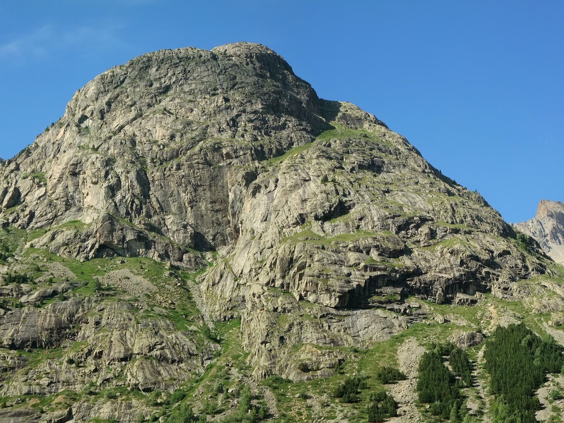
France · La Bérarde (Écrins)
Fifteen pitches up the steeper centre of the face: steep cracks and walls in the first third, then a long sequence of sometimes very thin friction slabs. Mostly 5c to 6a+ with one short 6b+ that goes at A0. Rated among the best on the wall and much quieter than its famous neighbour.
6b+15 pitches400 m
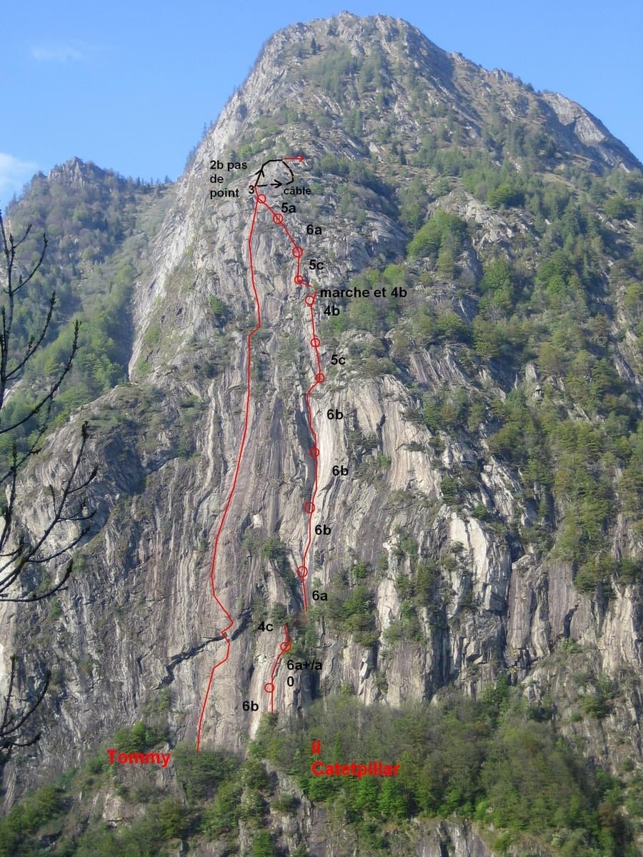
Italy · Aosta Valley
A very long slab route on excellent rough gneiss at the mouth of the Champorcher valley: fifteen pitches, most of them 5c, several close to 50 m. The one steep passage is a roof on pitch 3 that almost everyone aids on the bolts (6b+ free). A band of trees splits the route in two, and the upper half is the more attractive.
6a+15 pitches600 m
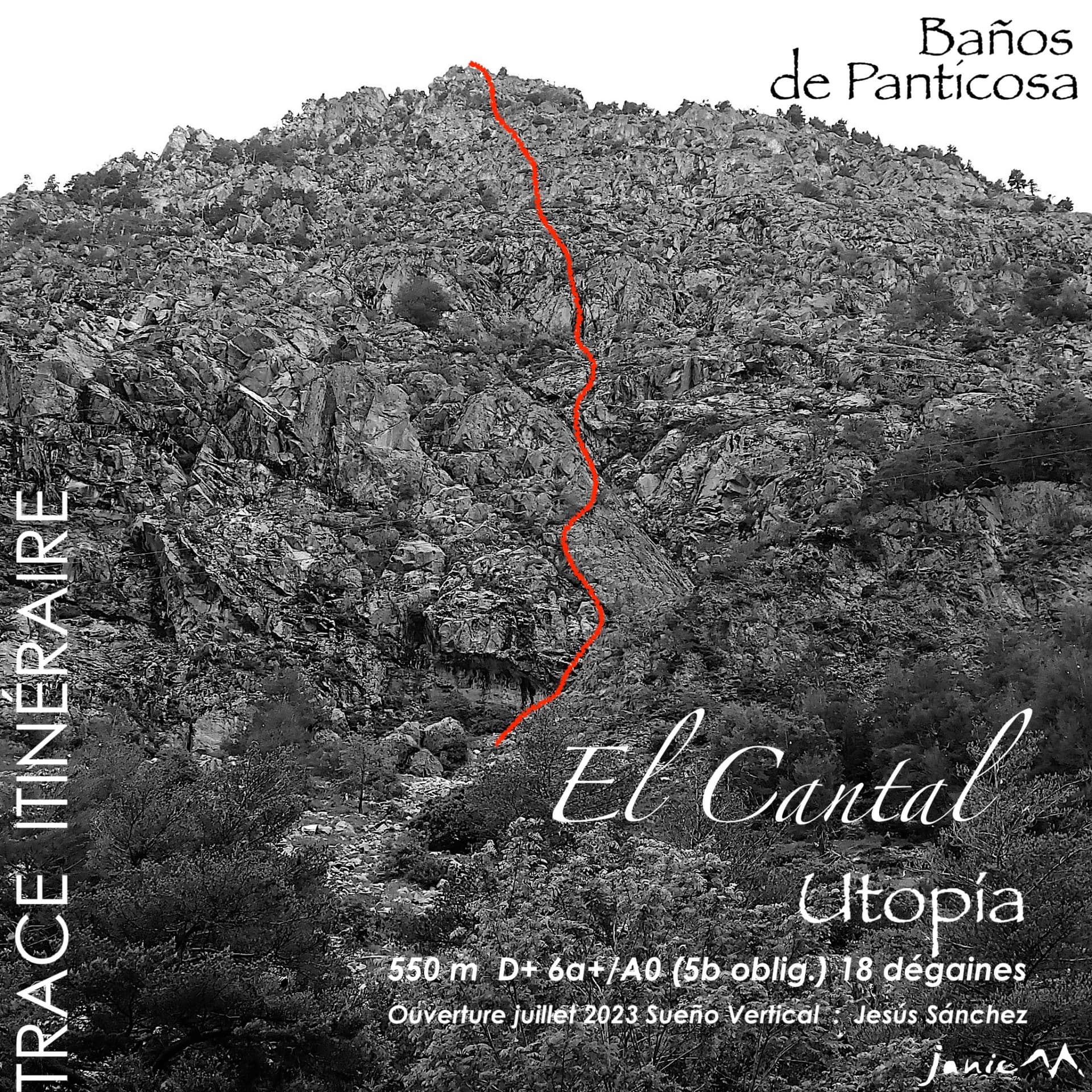
Spain · Aragonese Pyrenees (Tena & Canfranc valleys)
Fifteen pitches up a broken granite wall that nobody had climbed on before 2023, probably the longest bolted route at Panticosa. Corners, steps and slabs at around 5b, cut by ledges and terraces, with isolated moves of 6a and a 6a+ corner on the last pitch that are not obligatory. Sun from first thing. The length is the attraction; repeat parties find the climbing pleasant but discontinuous.
6a+15 pitches550 m
Compiled from published sources and last verified October 2026. Bolts, anchors and access change. Climbing is dangerous and you are responsible for your own decisions: check a current topo and read the disclaimer.