
Austria · Grazer Bergland
Strauchdieb
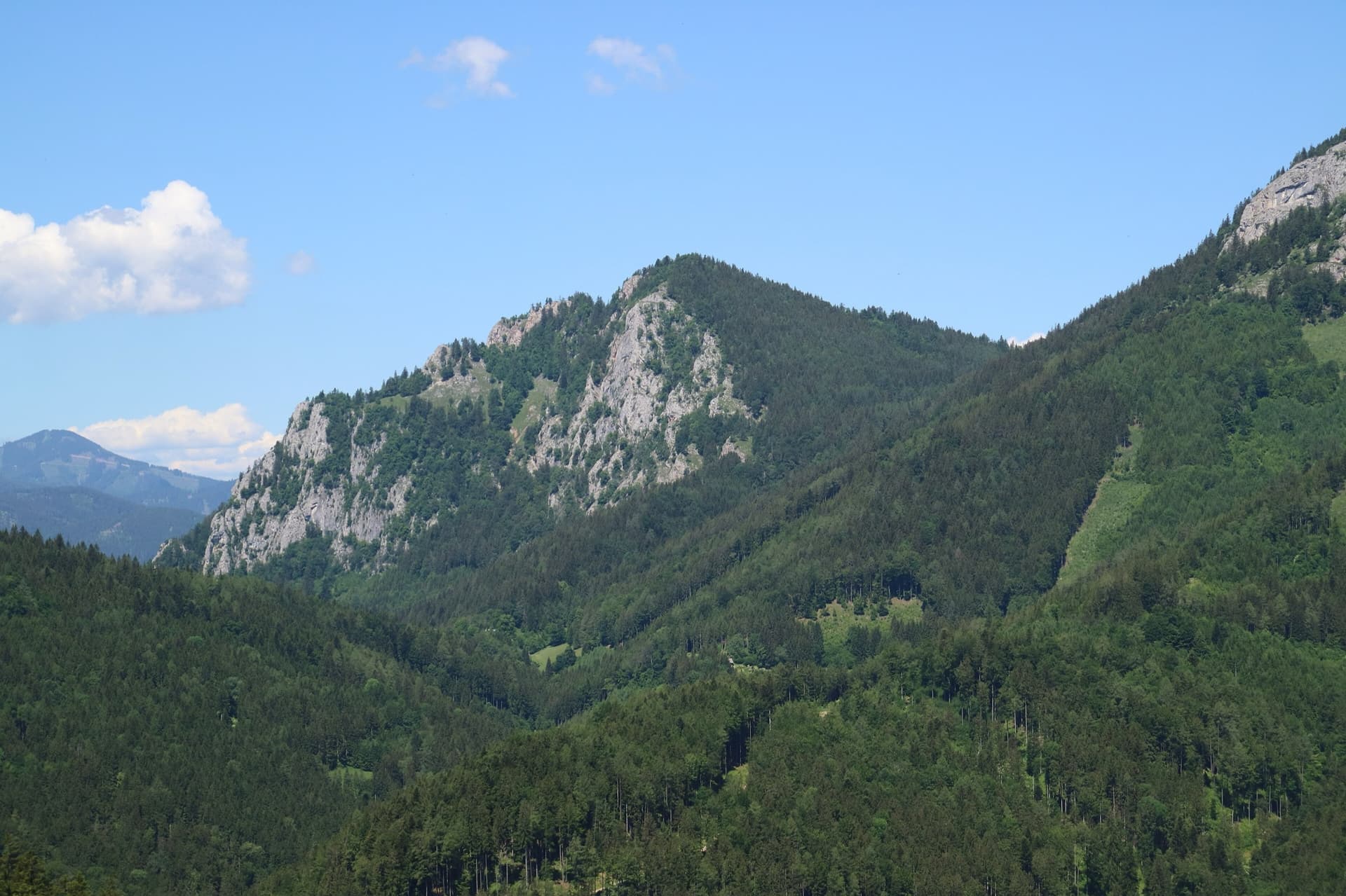
A new (2025) nine-pitch outing on the right edge of the Breite Wand that weaves between the bushes. Three spots of UIAA 5-/5, otherwise easier. Still a little earthy in places.
5a9 pitches260 m
Rote Wand · Grazer Bergland · Austria
Read the cautionsBail not documentedBolting confidence: medium
An easy ridge route up the left-hand end of the Rote Wand, first climbed in 1982. The rock is completely solid and the climbing uneven in difficulty, mostly UIAA 4 with a few moves of 4+ and 5. The hand-traverse on the penultimate pitch is the highlight. Somewhat polished.
Single source with an information date of 2004, and run-out on the easy ground; the bolting itself is rated very good.
The route
Hühnerleiter follows the ridge that bounds the Rote Wand on the left. It is one of the easiest bolted multipitch routes in the Grazer Bergland: seven pitches, mostly around UIAA 4, with short steps of 4+ and a crux of 5 (about 5a) on the sixth pitch. bergsteigen.com praises the bombproof rock and the hand-traverse near the top, and notes that the route is already rather polished. You finish on the plateau and walk down. Bolts are close where it is hard and spaced where it is easy, so it suits a confident leader at the grade more than a complete beginner.
The climbing
| Pitch | Grade | Notes |
|---|---|---|
| P1 | – | A crack and corner with a move of UIAA 5-. |
| P2 | – | A short wall of 4+ just above the belay. |
| P3 | – | Not described. |
| P4 | – | A short wall to start, then easier climbing on the ridge. |
| P5 | – | Another move of 4+. |
| P6 | – | The crux of the route, UIAA 5, with the hand-traverse that the description singles out as the best part of the climb and not as hard as it looks. |
| P7 | – | Easy last metres to the top. |
Getting there
From the S35 expressway between Graz and Bruck an der Mur leave at Frohnleiten and take the road towards Tyrnau. Beyond Tyrnau turn left and drive up to the Rote Wand car park at about 870 m. bergsteigen.com notes that a parking fee is charged.
About 40 min. From the Rote Wand car park follow the forest road towards the Buchebensattel. At the first hairpin take the obvious path up to the right to the 'Rucksackplatzl', a rock with a wooden board where sacks are left. From there go left, without sacks, past the prominent red corner in the rock bay to the start on the obvious arête, at about 1300 m.
Loading map
The point marks the crag, not the exact start of the route.
Parking
Rote Wand car park above Tyrnau (bergsteigen.com marker 'Parkplatz')
Point from bergsteigen.com map marker 'Einstieg (ungefähr)', marked approximate
Contains the route point and parking. Opens in most mapping apps and GPS watches.
Points are compiled from published sources, with the precision stated above. They were not surveyed on the ground: check them against a current topo.
Coordinates: 47.32790, 15.40040 (crag) · Parking: 47.32050, 15.40900
Getting down
From the exit follow the clear path along the edge of the wall, on its right-hand side looking down, back to the Rucksackplatzl, then return down the approach path. bergsteigen.com allows 45 min.
Retreat
Bail not documented
Retreat is not documented. The source describes only the walk-off from the top. The belays are double-bolted and the route is a ridge with a 50 m rope recommended, so abseiling from a belay should be possible, but nothing is said about abseil hardware or about escaping sideways.
Partly inferred from the route facts
Safety
Sun and weather
South facing, base about 1300 m. bergsteigen.com shows a season of March to June and September to November; the south faces of the Grazer Bergland are hot in midsummer.
Sun on the wall · S-facing
Working out the sunlit hours for this month.
Sun on the wallDaylight, wall in shade● Usual season
Estimated from the wall's aspect only. Ignores surrounding terrain, gullies and the wall's exact shape. Clock times are local to the wall (Central European time), for the 15th of each month.
| Measure | Jan | Feb | Mar (usual season) | Apr (usual season) | May (usual season) | Jun (usual season) | Jul | Aug | Sep (usual season) | Oct (usual season) | Nov (usual season) | Dec |
|---|---|---|---|---|---|---|---|---|---|---|---|---|
| Mean daily high °C | 0 | 2 | 6 | 11 | 15 | 19 | 21 | 20 | 16 | 11 | 6 | 1 |
| Mean daily low °C | −8 | −7 | −3 | 1 | 6 | 9 | 11 | 11 | 7 | 3 | −1 | −6 |
| Rain days 1 mm or more | 8 | 8 | 10 | 12 | 15 | 16 | 15 | 15 | 11 | 11 | 10 | 9 |
● marks the usual climbing season. Averages for 1991-2020 at about 947 m. Area climate from Open-Meteo reanalysis. Temperatures are adjusted to the height of the crag; rain comes from a grid cell of about 10 to 25 km, and summer highs on sea cliffs can read a few degrees low. The wall and valley can differ. Data: Open-Meteo, CC BY 4.0.
What to carry
7 quickdraws, a few slings, helmet and a single 50 m rope.
Derived from the route data; check it against a current topo
From climbers
Reader reports are not being collected yet. Until they are, check a current topo and the local club or guidebook publisher for recent changes to Hühnerleiter.
Worth knowing
Open questions
Provenance
Same area
Austria · Grazer Bergland
A new (2025) nine-pitch outing on the right edge of the Breite Wand that weaves between the bushes. Three spots of UIAA 5-/5, otherwise easier. Still a little earthy in places.
5a9 pitches260 m
Austria · Grazer Bergland
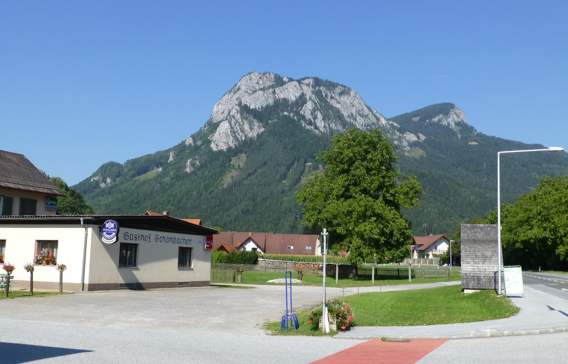
One of the longest climbs in the Grazer Bergland: thirteen pitches and about 520 m up the south-west face of the Röthelstein above Mixnitz, mostly easy with one passage of UIAA 6- and three of 5+. Varied and well cleaned, on mostly solid rock, with some scrambling and walking sections between the good pitches.
5c13 pitches525 m
Austria · Grazer Bergland
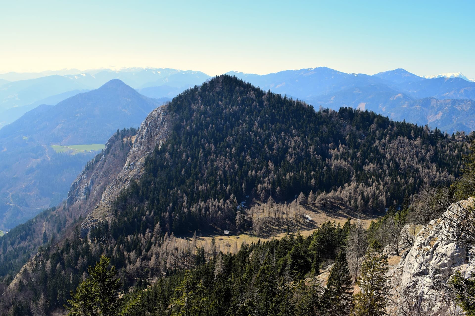
A modern plaisir line on the south-east spur of the Röthelstein, finished in 2018 by linking three old, forgotten pitches with six newly cleaned ones. The fifth and sixth pitches are rated among the best on the Röthelstein. UIAA 6+ at the hardest, with only 5 obligatory.
6a+10 pitches315 m
Austria · Grazer Bergland
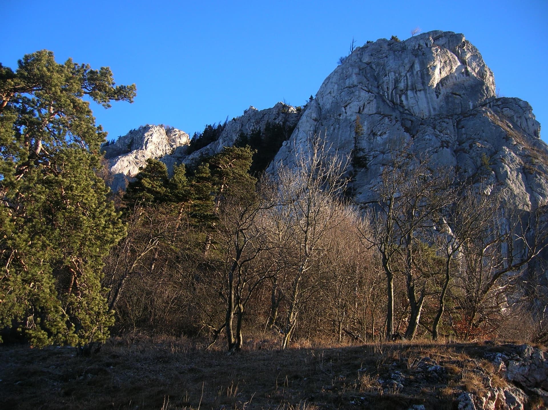
Possibly the longest route in the Grazer Bergland: sixteen pitches that start up the Ratengrat (Don Kamille) and continue up the Breite Wand (Pepperone). The lower half is among the best climbing on the Ratengrat; the upper half begins gently over slabby steps in the forest and then steepens. Two passages of UIAA 7- and several of 6+.
6b16 pitches440 m
Around 5a · about 7 pitches
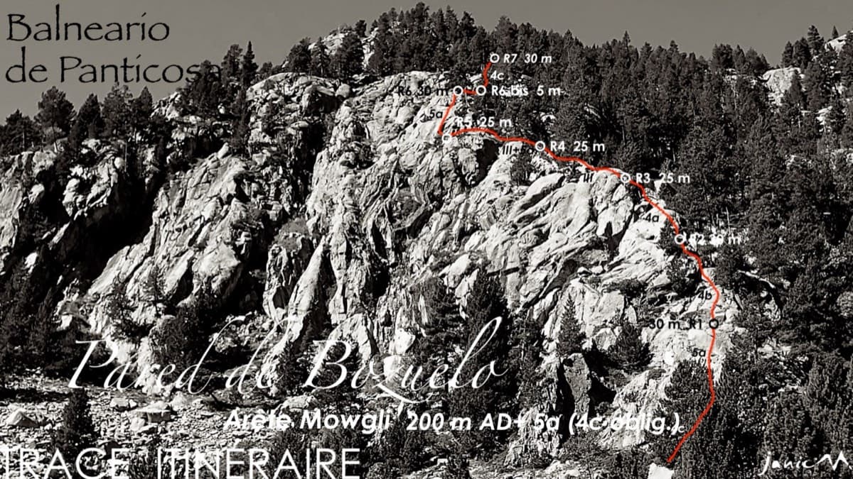
Spain · Aragonese Pyrenees (Tena & Canfranc valleys)
An easy granite ridge above the Bozuelo meadows, low-angled and never exposed. Two smooth friction slabs at 5a, on pitches 1 and 6, are the only real difficulties; the rest is steps and short walls at grade 3 to 4. Ideal for a first multipitch, and you can step off rightwards onto ledges almost anywhere.
5a7 pitches200 m
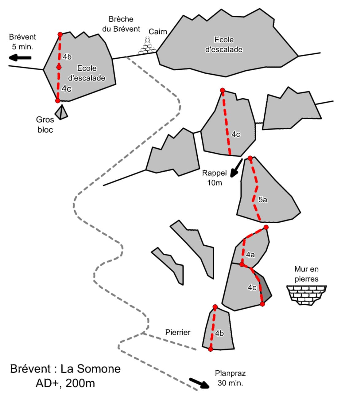
France · Chamonix valley
Seven easy pitches up a string of separate buttresses east of the Brévent face, with a short walk between most of them and one 10 m abseil. Slabs, a corner-chimney and a couple of cracks at 4b to 5a, and you can walk off after almost any pitch. It is the usual first multipitch at the Brévent, so expect company.
5a7 pitches200 m
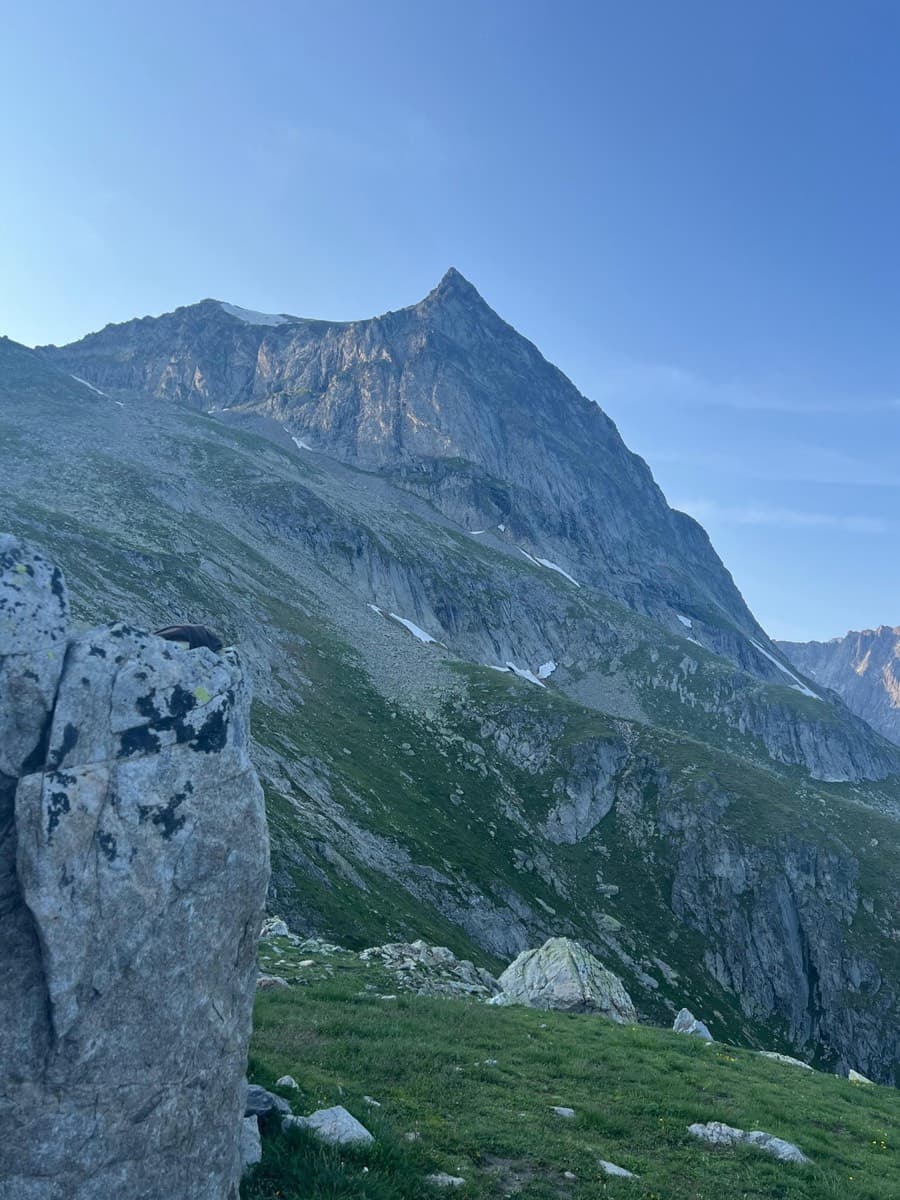
Switzerland · Wiwanni (Baltschiedertal)
Eight short pitches of 4b to 5a on compact, grippy gneiss slabs above the Wiwannihütte, finishing on a 2880 m summit. Pitches 3 and 4 climb a big steep slab that is the heart of the route. Chained belays and an abseil descent make it the gentlest introduction to the Wiwanni routes, though the starting pitches feel stiff for 4b.
5a8 pitches180 m
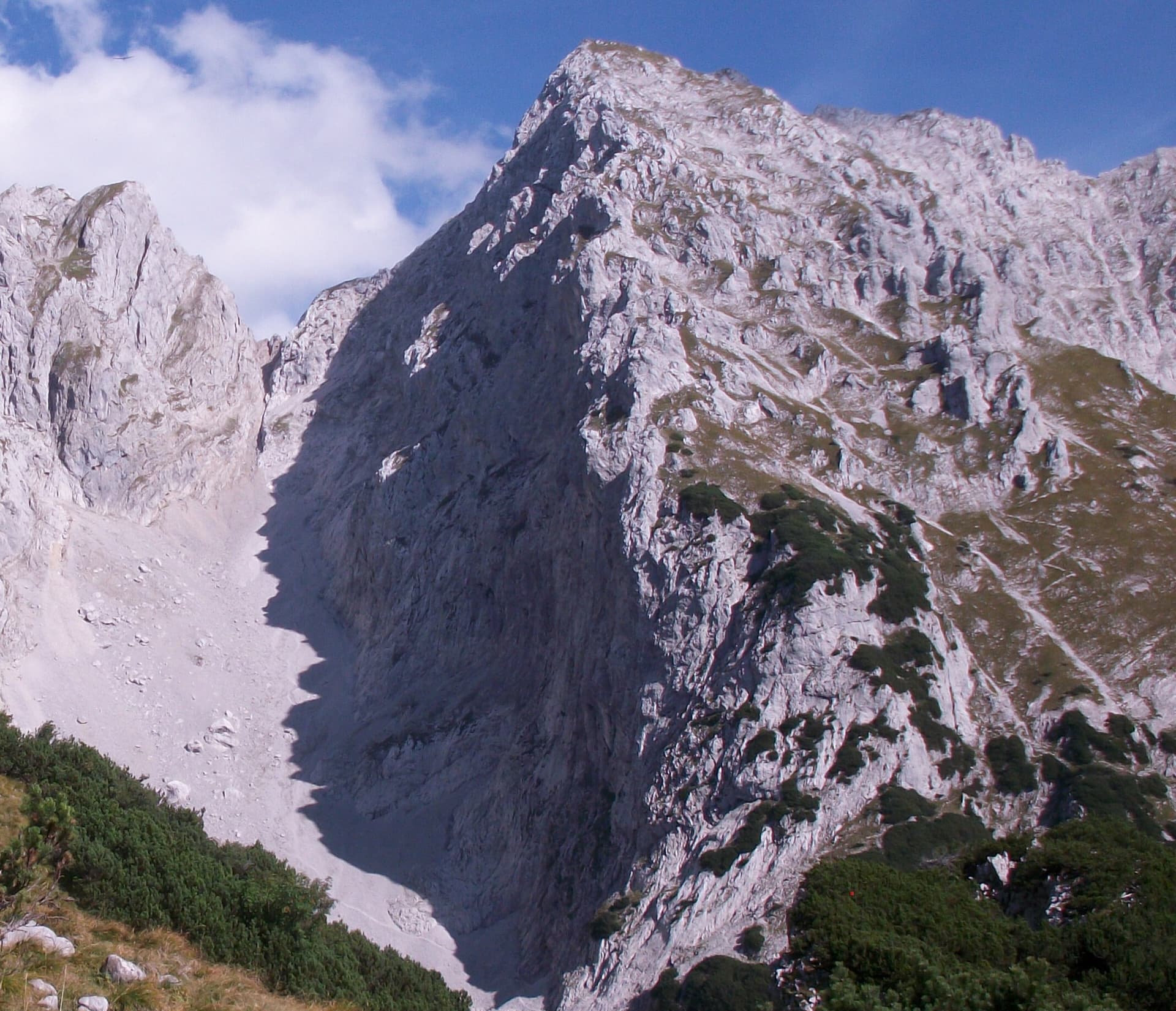
Austria · Wilder Kaiser
Nine pitches of easy slabs and water runnels beside the Treffauer normal route, UIAA 5 at most if you take the easy variant on pitch 4. Lots of bolts and friendly ground make it one of the most popular routes in the Schneekar. The rock is not solid everywhere and the walk-in is two hours.
5a9 pitches280 m
Compiled from published sources and last verified October 2026. Bolts, anchors and access change. Climbing is dangerous and you are responsible for your own decisions: check a current topo and read the disclaimer.