Multipitch Atlas

La Somone

Le Brévent (Aiguilles Rouges) · Chamonix valley · France

Easy to bailBolting confidence: medium

Seven easy pitches up a string of separate buttresses east of the Brévent face, with a short walk between most of them and one 10 m abseil. Slabs, a corner-chimney and a couple of cracks at 4b to 5a, and you can walk off after almost any pitch. It is the usual first multipitch at the Brévent, so expect company.

Sketch topo of La Somone at Le Brévent: the buttresses, the pitch grades, the 10 m abseil and the paths to Planpraz and to the Brévent summitPhoto: Fabien Pierre · CC BY-SA 3.0

Topo

Sketch topo of La Somone at Le Brévent: the buttresses, the pitch grades, the 10 m abseil and the paths to Planpraz and to the Brévent summitPhoto: Fabien Pierre · CC BY-SA 3.0
Hardest pitch
5a
Pitches
7
Length
200 m
Approach
–
Aspect
SE
South-east-facing
Rope
1×40 m
walk-off

The route

Overview

La Somone is not on the main Brévent face. It links five small gneiss buttresses on the hillside to the east, between the Clocher du Brévent and the Brèche du Brévent, and finishes up the left end of the Brévent climbing-school wall. Nothing is harder than 5a and the path is never far away, which is why guides and courses use it as a first multipitch. Recent parties call it varied and better than its grade suggests, but not a pushover: the 5a slab is thin on the feet and one or two moves on pitches 2 and 4 make people think. The setting, facing Mont Blanc, is the other reason to go.

The climbing

Pitch by pitch

Pitches of La Somone
PitchGradeNotes
P14bFirst buttress. A slab to a belay on top of the wall, then a few metres of traverse right to the foot of a corner (second belay; you can walk off here).
P24cSecond buttress. A corner-chimney, pleasant and with some layback moves. Belay on a terrace. A 2025 party found it fairly delicate.
P34aA friction traverse along a crest. The belay at the end is one bolt and a rock spike, so carry a sling. A 2025 party points out that you can continue to the start of the next pitch, where there is a bolt to belay from.
P45aThird buttress, after a few metres on foot. A slab, then a crack, finishing rightwards on top of a small pinnacle. There is a balancy move left to clip the second bolt. From the top, abseil 10 m down the far side and walk about 10 m leftwards to the next wall; this start is not obvious.
P54cFourth buttress. A crack to a belay on top of the wall. Parties single this out as the best pitch. Easy rocks then lead to the Brèche du Brévent; walk along the foot of the climbing-school wall on the left for about a minute to the leftmost line of its first section, just past a large triangular block.
P64cFifth buttress, on the climbing-school wall. Belay part-way up the face. Camptocamp warns that the third bolt moves in its hole: do not pull on it. A 2025 party found friable flakes just below the belay and the stance uncomfortable; another suggests carrying on 4 to 5 m to the anchor of a neighbouring single-pitch route if it is free.
P74b4b then 3b to the top of the wall. Do not stop at the anchor a few metres below the top; go on to the plateau.

Getting there

Approach

To the parking

From Chamonix take the Planpraz gondola and then the Brévent cable car from the lower station above the church (pay car park beside it; shuttle bus from the town centre). The lift opens at about 8:00 to 8:30 in summer. You can also start from Planpraz on foot if the upper cable car is closed.

On foot

From the top of the Brévent cable car, walk down the piste and through the Brèche du Brévent. The line of rock steps is on your left; reach the foot of the lowest one by traversing off the track after the second hairpin. The big monolith lower down is the Clocher du Brévent and is not the route: La Somone starts higher, left of a distinctive dry-stone wall, with a piece of cord at the foot. From Planpraz, follow the path towards the Brévent to the foot of the Clocher and climb up to its left until level with its top. The sketch topo marks Planpraz as 30 minutes from the foot of the route; no source gives a time from the upper lift, which is closer.

Map of the walk-in

  • Crag

Loading map

The point marks the crag, not the exact start of the route.

Coordinates · crag

45.93393, 6.83783

Point from camptocamp waypoint 39717 (Le Brévent summit)

For your phone or watch

Download GPX

Contains the route point. Opens in most mapping apps and GPS watches.

Points are compiled from published sources, with the precision stated above. They were not surveyed on the ground: check them against a current topo.

Getting down

Descent

From the top of the last pitch walk to the Brévent summit and cable car in 5 minutes, or join the descent path to Planpraz.

Retreat

Bailing off the route

Easy to bail

You can walk off between every buttress: camptocamp notes an escape after pitch 1, after pitch 3, after the abseil and at the Brèche du Brévent, and the descent path runs alongside the whole route. No abseil retreat is needed.

Retreat from
The top of each buttress: after pitch 1, pitch 3, pitch 4 (after its 10 m abseil) and pitch 5.
Point of no return
None. Pitches 6 and 7 are on the single-pitch school wall beside the path.
Carry
Nothing beyond the rope you climb on, which also covers the 10 m abseil.
Basis
Stated in the sourcesCamptocamp states that you can escape easily at any moment and marks the escape points in the description.

Safety

Hazards

  • The third belay is a single bolt and a spike, and the stance between pitches 6 and 7 is poor.
  • Camptocamp reports the third bolt of pitch 6 loose in its hole; a 2025 party saw a few hangers turning elsewhere.
  • Bolts are closer than on a mountain route but can feel spaced to a beginner (2025 report).
  • Friable flakes just before the belay on pitch 6.
  • The start of pitch 5 after the abseil, and of pitch 6 along the climbing-school wall, are easy to miss.
  • A popular route with guided parties; walkers and other climbers are often below you on the paths.

Sun and weather

Conditions

The route lies between about 2300 m and 2525 m and faces south-east, in the sun from early morning. In a heatwave, climb early: an August 2025 party found it oppressive with no wind or cloud. It depends on the Brévent lifts, which run in summer only. The rock is reported dry and sound, with a few friable flakes on pitch 6.

Usual season · Jun to Sep

Sun on the wall · SE-facing

Working out the sunlit hours for this month.

  • January: not yet worked out
  • February: not yet worked out
  • March: not yet worked out
  • April: not yet worked out
  • May: not yet worked out
  • June (usual season): not yet worked out
  • July (usual season): not yet worked out
  • August (usual season): not yet worked out
  • September (usual season): not yet worked out
  • October: not yet worked out
  • November: not yet worked out
  • December: not yet worked out

Sun on the wallDaylight, wall in shade● Usual season

Estimated from the wall's aspect only. Ignores surrounding terrain, gullies and the wall's exact shape. Clock times are local to the wall (Central European time), for the 15th of each month.

Monthly climate averages for Chamonix valley, 1991-2020
MeasureJanFebMarAprMayJun (usual season)Jul (usual season)Aug (usual season)Sep (usual season)OctNovDec
Mean daily high °C−4−31481315151281−4
Mean daily low °C−12−11−8−5−04663−1−7−11
Rain days 1 mm or more131213141919181715131414

● marks the usual climbing season. Averages for 1991-2020 at about 2011 m. Area climate from Open-Meteo reanalysis. Temperatures are adjusted to the height of the crag; rain comes from a grid cell of about 10 to 25 km, and summer highs on sea cliffs can read a few degrees low. The wall and valley can differ. Data: Open-Meteo, CC BY 4.0.

What to carry

Gear

Camptocamp lists 8 quickdraws, a 40 m rope, slings and a helmet. A 2025 party carried 10 quickdraws and would have liked one or two more to reach the better stance between pitches 6 and 7. A sling for the spike at the third belay is useful, and one party suggests something to thread on the exits of pitches 5 and 7.

Checklist

Quickdraws
8
Rope
1×40 m (walk-off)
Helmet
One each
Abseil device and prusik
The descent or the retreat involves abseiling

Derived from the route data; check it against a current topo

From climbers

Reader reports

Reader reports are not being collected yet. Until they are, check a current topo and the local club or guidebook publisher for recent changes to La Somone.

Worth knowing

Tips

  • You can escape on foot between every buttress, which makes it a forgiving first multipitch and suitable for children with an experienced leader.
  • Parties report 3.5 to 5 hours at a beginner's pace, including waits.
  • It combines well with Mic est Maousse or Crakoukass nearby for a longer day.

Open questions

Where sources disagree

  • Grade: camptocamp gives 5a for the fourth pitch and D- overall; a 2005 SummitPost log lists the route as 4c, and a 2025 party would call the slab 5a+ by its hardest line but the outing AD+.
  • Rope and quickdraws: camptocamp says 40 m and 8 quickdraws; a 2025 party took 10 and wanted more for linking to a better stance.
  • No source gives the approach time from the upper cable car, so the card leaves it blank.

Provenance

Sources

Same area

More in Chamonix valley

All routes in Chamonix valley
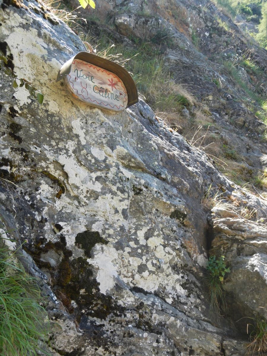
The painted sign marking the start of the Voie Câline on the Rocher des Mottets

France · Chamonix valley

Voie Câline

Nineteen very short pitches of easy slab above Les Bois, never harder than 4b and bolted like a climbing school. It is the standard first multipitch of the Chamonix valley, long enough to feel like a real outing and finishing at a mountain café with a view of the Mer de Glace.

4b19 pitches260 m
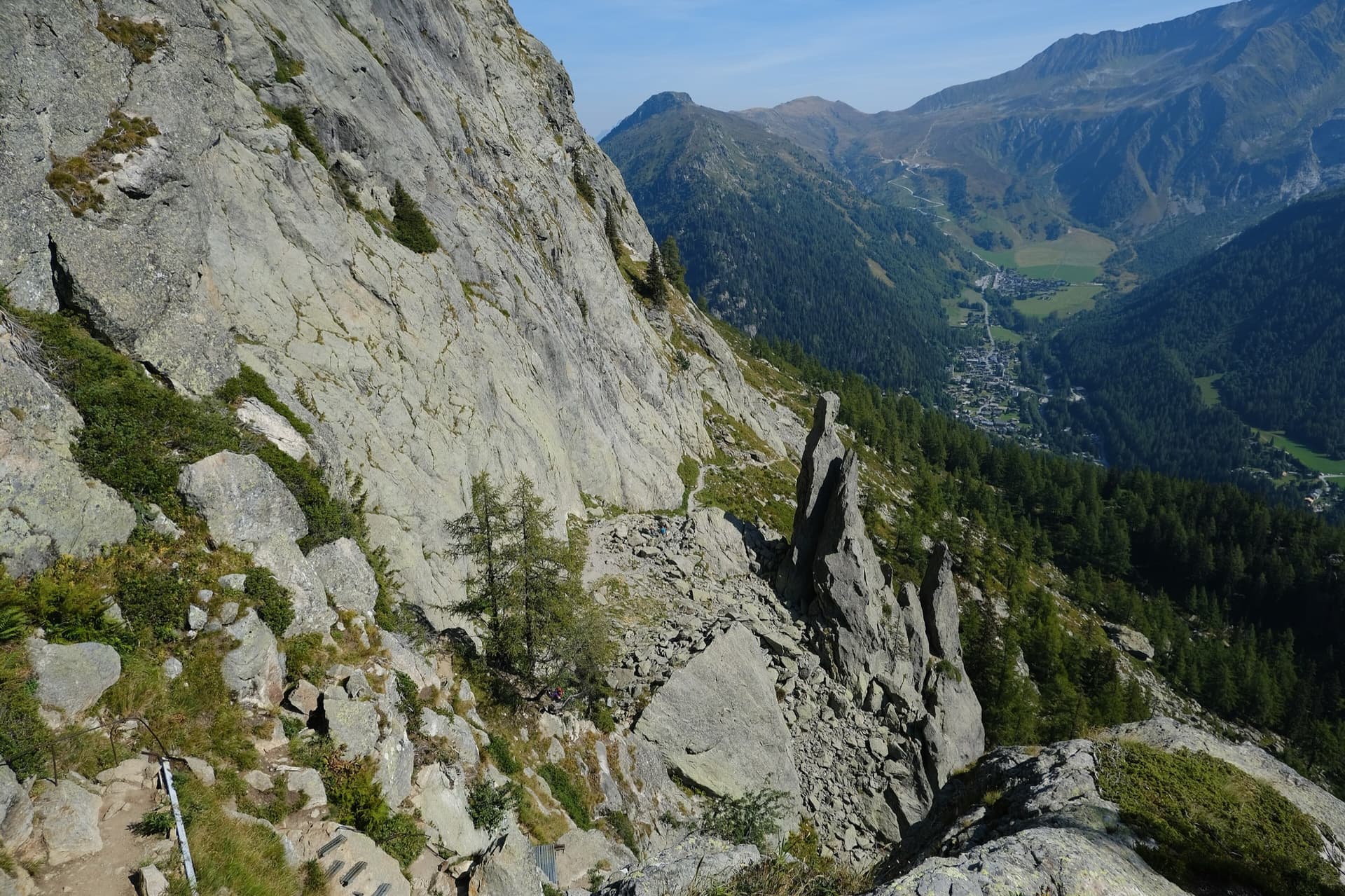
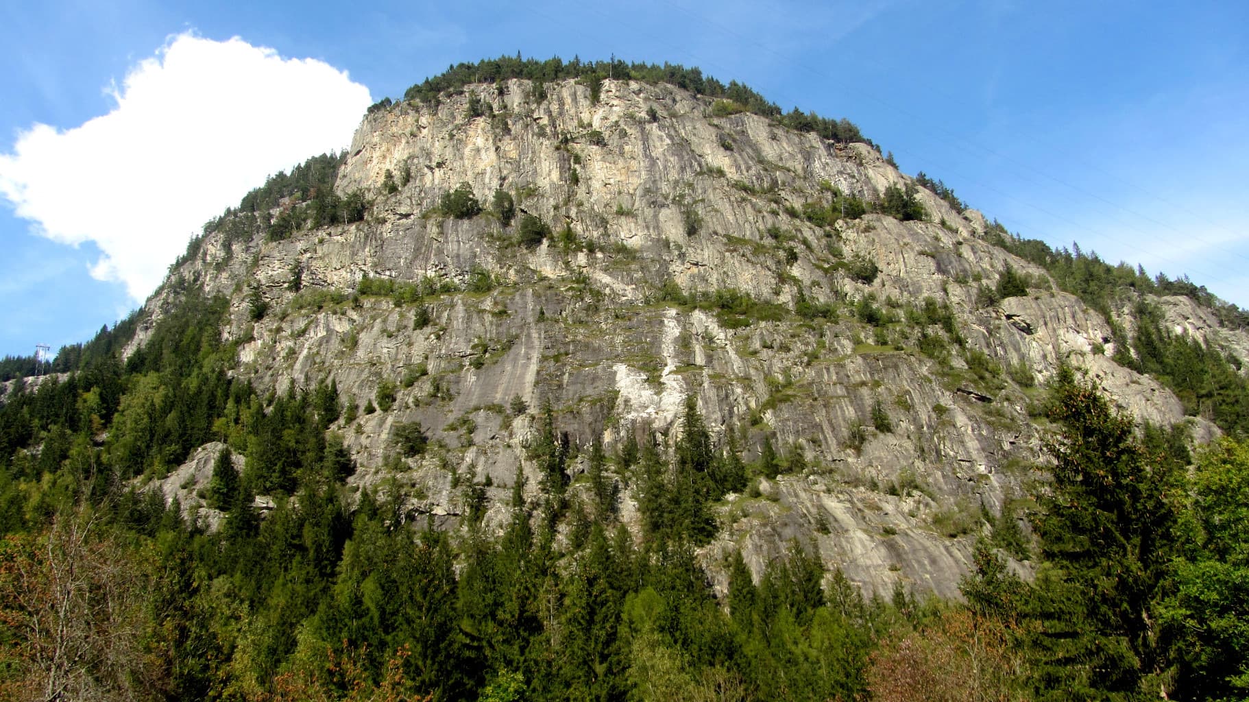
The gneiss slabs of Les Chéserys beside the Lac Blanc path, with the pinnacle of the Aiguillette d'Argentière and the village of Argentière below; the Voie Jaune is on these slabs, its exact position is not marked.

France · Chamonix valley

Voie Jaune

A short, friendly slab route on the sunny gneiss of the Chéserys, facing the Mont Blanc range. Five pitches with one vertical step of 4c, chain belays and an abseil descent make it a standard introduction to multipitch climbing.

4c5 pitches150 m

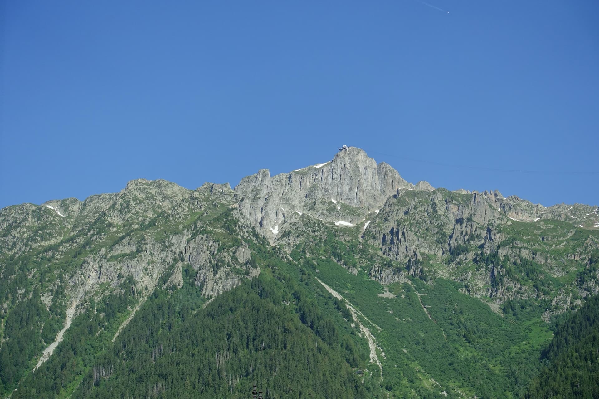
The summit of Le Brévent and the rock face beneath its cable-car station, seen from the Chamonix valley; the Voie Frison-Roche climbs this south-east face, the exact line is not marked.

France · Chamonix valley

Voie Frison-Roche

The great classic of the Aiguilles Rouges: six varied pitches of gneiss, ten minutes downhill from the Brévent cable car and finishing at its top station, with Mont Blanc opposite. The crux is a short, physical corner crack and the last pitch is a long, clean corner. It is extremely popular.

6a+6 pitches200 m

The Barberine cliff above the spruce forest at Vallorcine; Méduse climbs this wall, the line is not marked.

France · Chamonix valley

Méduse

A direct line up the big south-facing slabs of Barberine: three pitches of friction slab to warm up, then steeper, technical walls on small holds. The two top pitches are graded 6b+ and 6c+ if you step round the bolts and 7a if you climb straight up them; 6c is obligatory.

7a7 pitches230 m

Around 5a · about 7 pitches

Similar elsewhere

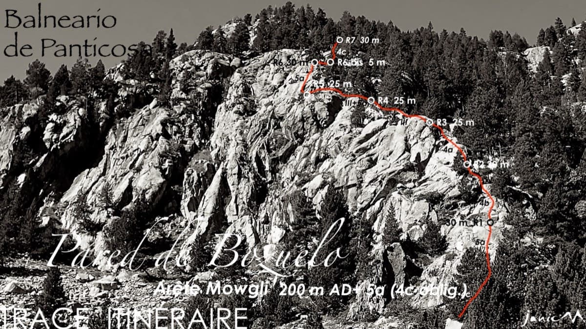
Line of the Arista Mowgli on the Pared de Bozuelo above Baños de Panticosa, with belays marked

Spain · Aragonese Pyrenees (Tena & Canfranc valleys)

Arista Mowgli

An easy granite ridge above the Bozuelo meadows, low-angled and never exposed. Two smooth friction slabs at 5a, on pitches 1 and 6, are the only real difficulties; the rest is steps and short walls at grade 3 to 4. Ideal for a first multipitch, and you can step off rightwards onto ledges almost anywhere.

5a7 pitches200 m

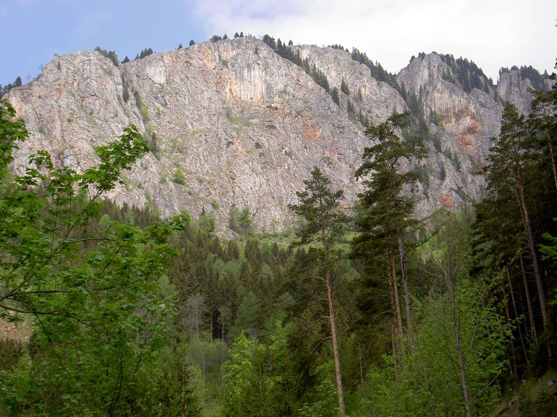
The Rote Wand above Tyrnau in the Grazer Bergland; Hühnerleiter follows the ridge at the left-hand end of the wall

Austria · Grazer Bergland

Hühnerleiter

An easy ridge route up the left-hand end of the Rote Wand, first climbed in 1982. The rock is completely solid and the climbing uneven in difficulty, mostly UIAA 4 with a few moves of 4+ and 5. The hand-traverse on the penultimate pitch is the highlight. Somewhat polished.

5a7 pitches225 m

Read the cautions

A view of the region, not this route's wall. The Wiwannihorn from near the hut; the east ridge is the right-hand skyline

Switzerland · Wiwanni (Baltschiedertal)

Salamander

Eight short pitches of 4b to 5a on compact, grippy gneiss slabs above the Wiwannihütte, finishing on a 2880 m summit. Pitches 3 and 4 climb a big steep slab that is the heart of the route. Chained belays and an abseil descent make it the gentlest introduction to the Wiwanni routes, though the starting pitches feel stiff for 4b.

5a8 pitches180 m

The Schneekar cirque and the north side of the Treffauer in the Wilder Kaiser; the route climbs the lower rocks of this flank, but the exact line is not marked.

Austria · Wilder Kaiser

König der Löwen

Nine pitches of easy slabs and water runnels beside the Treffauer normal route, UIAA 5 at most if you take the easy variant on pitch 4. Lots of bolts and friendly ground make it one of the most popular routes in the Schneekar. The rock is not solid everywhere and the walk-in is two hours.

5a9 pitches280 m

Compiled from published sources and last verified October 2026. Bolts, anchors and access change. Climbing is dangerous and you are responsible for your own decisions: check a current topo and read the disclaimer.