Switzerland · Grimsel
Sagittarius
A Grimsel granite classic: low-angle slabs lead to the famous 6a+ crack pitches and a thin 6b traverse, then steeper, sculpted ground. Sustained at 5c/6a throughout.
6b13 pitches400 m
Gerstenegg – Dom (Räterichsbodensee) · Grimsel · Switzerland
Easy to bailBolting confidence: high
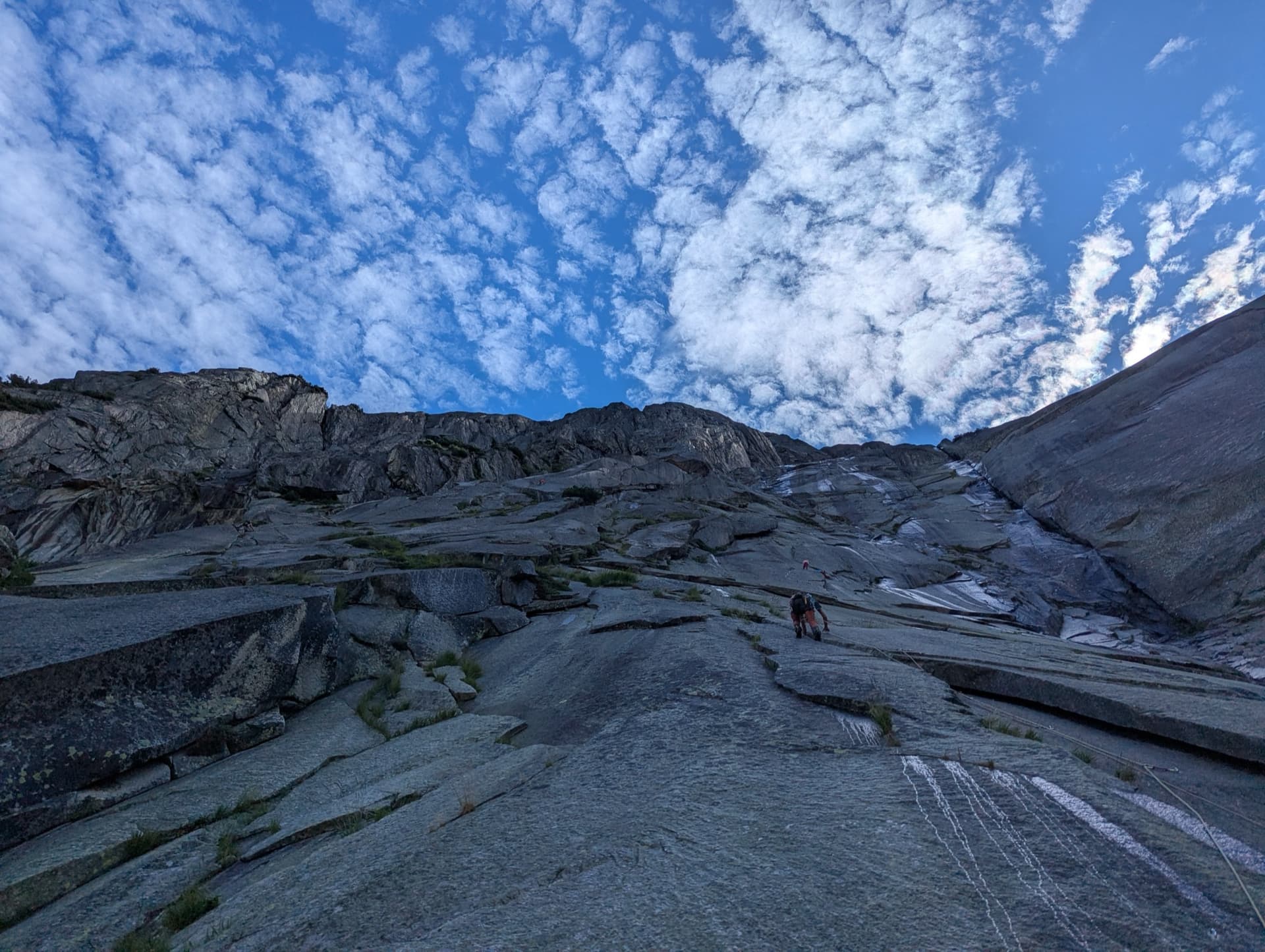
Seventeen pitches up the whole height of the Dom slab above the Räterichsbodensee: a first steep step, a long easier middle of pure friction, and a steeper finish with an overhanging crack the first ascensionists named the Teufelsriss. Two short 6a passages go on aid at 5b+. Rough, grippy granite and comfortable belays throughout.
The route
Ameisenrennen, 'the ants' race', is a 2020 route by Patrik Müller and Andreas Pfeuti that climbs the Dom, the highest slab of the Gerstenegg, from its lowest tip to the top in 17 pitches. It is among the best-bolted long routes at an accessible grade on the Grimsel: most pitches are 4a to 5c, and the two 6a passages can be passed with a few pulls on bolts. The climbing varies more than Grimsel slabs usually do, with edges, pure friction and vertical cracks. Belays are chained and placed so that partners can usually see each other. Allow a full half-day and settled weather.
The climbing
| Pitch | Grade | Length | Notes |
|---|---|---|---|
| P1 | 5c | 35 m | Round the starting block and onto rough slab; a fine opening pitch. |
| P2 | 5b | 45 m | Slab. |
| P3 | 6a | 40 m | A delicate slab the openers call the dance on tiptoe, using thin slanting cracks for the fingertips. Goes at 5b+ with three points of aid. |
| P4 | 5b+ | 48 m | Just as good: slender and more vertical. |
| P5 | 5a | 45 m | Slab, the start of the easier middle section. |
| P6 | 4c | 40 m | Low-angle friction. |
| P7 | 4a | 45 m | Low-angle friction. |
| P8 | 4a | 50 m | Low-angle friction. |
| P9 | 5a+ | 30 m | Describes a big arc to the right; watch the rope drag. |
| P10 | 4a | 50 m | Low-angle friction. |
| P11 | 4a | 51 m | A very long easy pitch; camptocamp gives 51 m. |
| P12 | 6a | – | A few very thin moves to turn a small overhang on the right. Goes at 5b with two points of aid. |
| P13 | 5b+ | 45 m | Slab as the wall steepens again. |
| P14 | 5c | 45 m | The Teufelsriss: you leave the slabs for an overhanging crack, strenuous when you arrive cold from the easy pitches. |
| P15 | 5a | 45 m | A crack with wide, satisfying moves. |
| P16 | 5b/c | 50 m | A fine black slab; goes at 5a with one point of aid. The summit logbook is here. |
| P17 | 5c | – | Thin; stay alert despite the fatigue. Goes at 5a with two points of aid. A turquoise dot on a rock to the left marks a last belay for an easy exit to the path. |
Getting there
The Gerstenegg and Räterichsbodensee slabs lie beside the Grimsel pass road, between Guttannen and the pass, reached from Meiringen and Innertkirchen on the Bernese side or over the pass from the Valais. The road is open roughly from May or June to October or November, depending on snow. There are car parks at Chüenzentennlen (1596 m), about 1 km below the Räterichsbodensee dam between the hairpins and the tunnel, and at the dam itself (1767 m). A PostBus runs from June to October and stops at both. Hotel Handeck, a few kilometres down the valley, has rooms and a dormitory; discreet bivouacs are tolerated at best.
Park at the Räterichsbodensee dam and walk up towards the route La Strada; Ameisenrennen starts at the very beginning of the Dom, at its lowest point. Look for the letters AR painted in turquoise and a metal plate with the route's initials. About 30 minutes. The start is also about 10 minutes from the top of Fliegender Teppich, and theCrag describes a shorter approach from Chüenzentennlen.
Loading map
The point marks the crag, not the exact start of the route.
Parking
Räterichsbodensee dam (camptocamp waypoint 133701)
Point from camptocamp waypoint 475874 (Grimsel, Gerstenegg, Dom)
Contains the route point and parking. Opens in most mapping apps and GPS watches.
Points are compiled from published sources, with the precision stated above. They were not surveyed on the ground: check them against a current topo.
Coordinates: 46.59469, 8.31352 (crag) · Parking: 46.59062, 8.32794
Getting down
Walk off, which camptocamp strongly recommends over abseiling. From the last belay a well-trodden, marked track leads to the path coming down from the Bächlital and back to the dam in about an hour. Expect some steep and boggy stretches, and a stream that a June 2026 party had to wade when it was swollen with snowmelt. Abseiling the route from the chained belays is possible.
Retreat
Easy to bail
Every belay is chained and camptocamp confirms the route can be abseiled, so retreat is possible from any stance. It is slow from high up: the route has 17 pitches of up to 51 m, so you need two ropes and time.
Partly inferred from the route facts
Safety
Sun and weather
South-east facing granite slab between about 1750 m and 2240 m, in the sun from early morning. Snow patches lie on and below the slab into June and their slow slide is what damages bolts. The rock is very rough and has few seeps, but friction slabs need to be fully dry. The Grimsel is known for unsettled weather: on a 17-pitch route, start early and avoid thundery days.
Sun on the wall · SE-facing
Working out the sunlit hours for this month.
Sun on the wallDaylight, wall in shade● Usual season
Estimated from the wall's aspect only. Ignores surrounding terrain, gullies and the wall's exact shape. Clock times are local to the wall (Central European time), for the 15th of each month.
| Measure | Jan | Feb | Mar | Apr | May | Jun (usual season) | Jul (usual season) | Aug (usual season) | Sep (usual season) | Oct (usual season) | Nov | Dec |
|---|---|---|---|---|---|---|---|---|---|---|---|---|
| Mean daily high °C | −3 | −1 | 2 | 5 | 9 | 14 | 17 | 17 | 13 | 8 | 2 | −2 |
| Mean daily low °C | −8 | −8 | −5 | −2 | 2 | 6 | 8 | 9 | 5 | 1 | −4 | −8 |
| Rain days 1 mm or more | 14 | 12 | 15 | 15 | 18 | 19 | 20 | 18 | 15 | 14 | 15 | 15 |
● marks the usual climbing season. Averages for 1991-2020 at about 1777 m. Area climate from Open-Meteo reanalysis. Temperatures are adjusted to the height of the crag; rain comes from a grid cell of about 10 to 25 km, and summer highs on sea cliffs can read a few degrees low. The wall and valley can differ. Data: Open-Meteo, CC BY 4.0.
What to carry
12 quickdraws and nothing else, according to camptocamp. theCrag lists cams 0.5 to 2 as an optional extra and 2×50 m ropes. Note the 50 and 51 m pitches if you climb on a single 50 m rope. Helmet.
Derived from the route data; check it against a current topo
From climbers
Reader reports are not being collected yet. Until they are, check a current topo and the local club or guidebook publisher for recent changes to Ameisenrennen.
Worth knowing
Open questions
Provenance
Same area
Switzerland · Grimsel
A Grimsel granite classic: low-angle slabs lead to the famous 6a+ crack pitches and a thin 6b traverse, then steeper, sculpted ground. Sustained at 5c/6a throughout.
6b13 pitches400 m
Switzerland · Grimsel
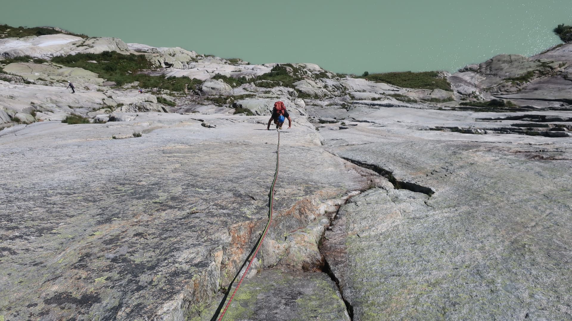
Glacier-polished slabs straight above the Räterichsboden dam. Four warm-up pitches lead to sustained 5b–5c slab and a short fissured roof (6a or A0).
6a11 pitches220 m
Read the cautions
Switzerland · Grimsel
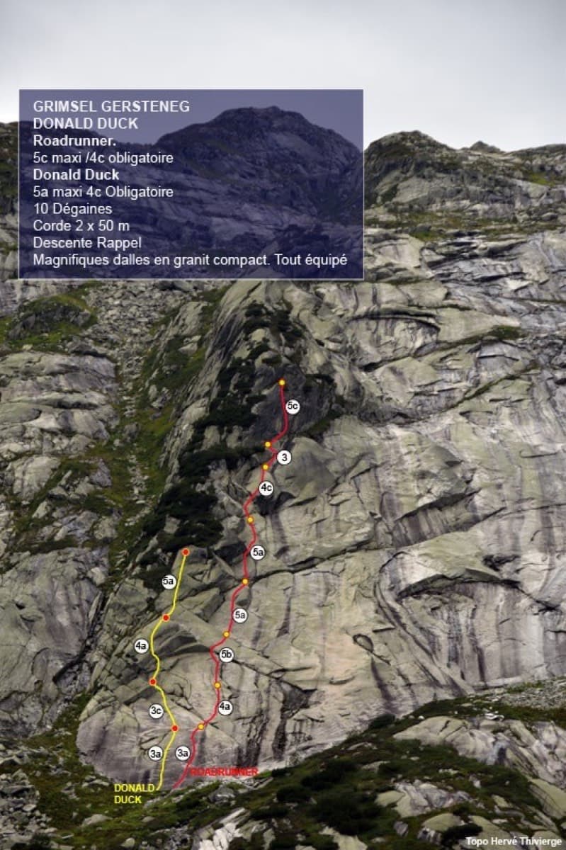
Seven pitches of smooth, low-angle Grimsel granite, almost all pure friction, with two short steeper steps. Technically easy, but you have to trust your feet. A gentle introduction to Grimsel slab and to multipitch rope work.
4c7 pitches200 m
Switzerland · Grimsel
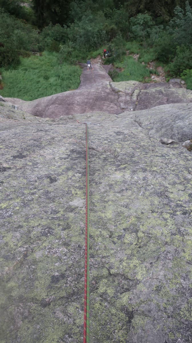
A short, varied granite route up a pale, smooth pillar across the valley from the Handegg slabs: a corner crack, then friction and edge slabs that get harder pitch by pitch. Grades are stiff, and the last pitch is sustained and tricky. A good half day or uncertain-weather route with a 15-minute approach.
6a5 pitches200 m
Around 6a · about 17 pitches
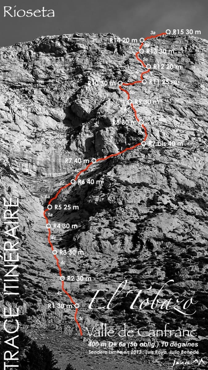
Spain · Aragonese Pyrenees (Tena & Canfranc valleys)
A long, mostly easy slab-and-dihedral route with a single 6a slab on pitch 6, in a fine setting facing away from Candanchú. Wait about 30 h after rain because the lower gully drains water.
6a15 pitches400 m
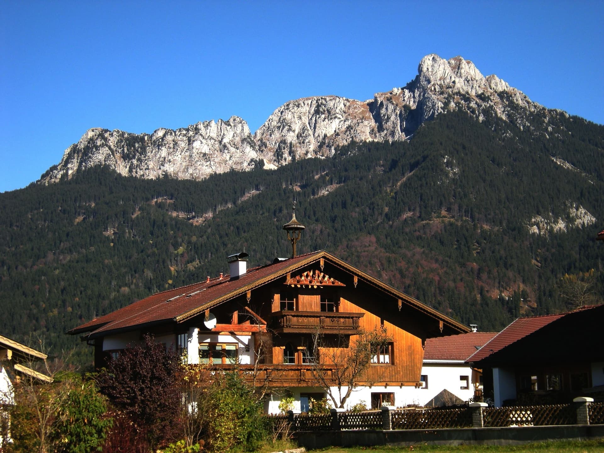
Germany · Ammergauer Alpen
The longest route on the Säuling: sixteen pitches up the west face to the summit cross, above Neuschwanstein and the lakes of the Allgäu. The lower part links pillars, traverses and some broken ground at UIAA 3 to 6+; the headwall is steep and compact, with a short aid passage and fine corners. Generously bolted, so a weaker second still has a good day.
6a+16 pitches360 m
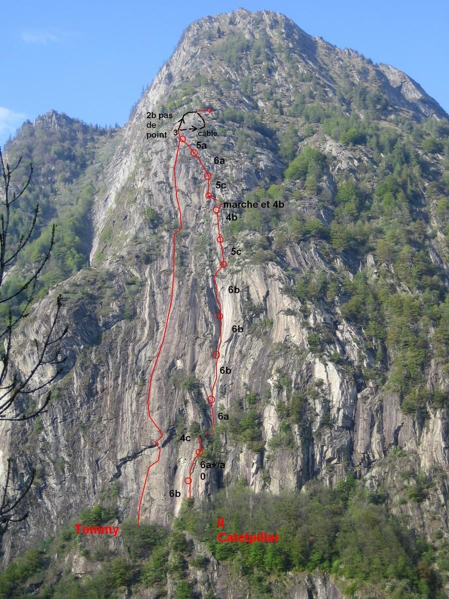
Italy · Aosta Valley
A very long slab route on excellent rough gneiss at the mouth of the Champorcher valley: fifteen pitches, most of them 5c, several close to 50 m. The one steep passage is a roof on pitch 3 that almost everyone aids on the bolts (6b+ free). A band of trees splits the route in two, and the upper half is the more attractive.
6a+15 pitches600 m
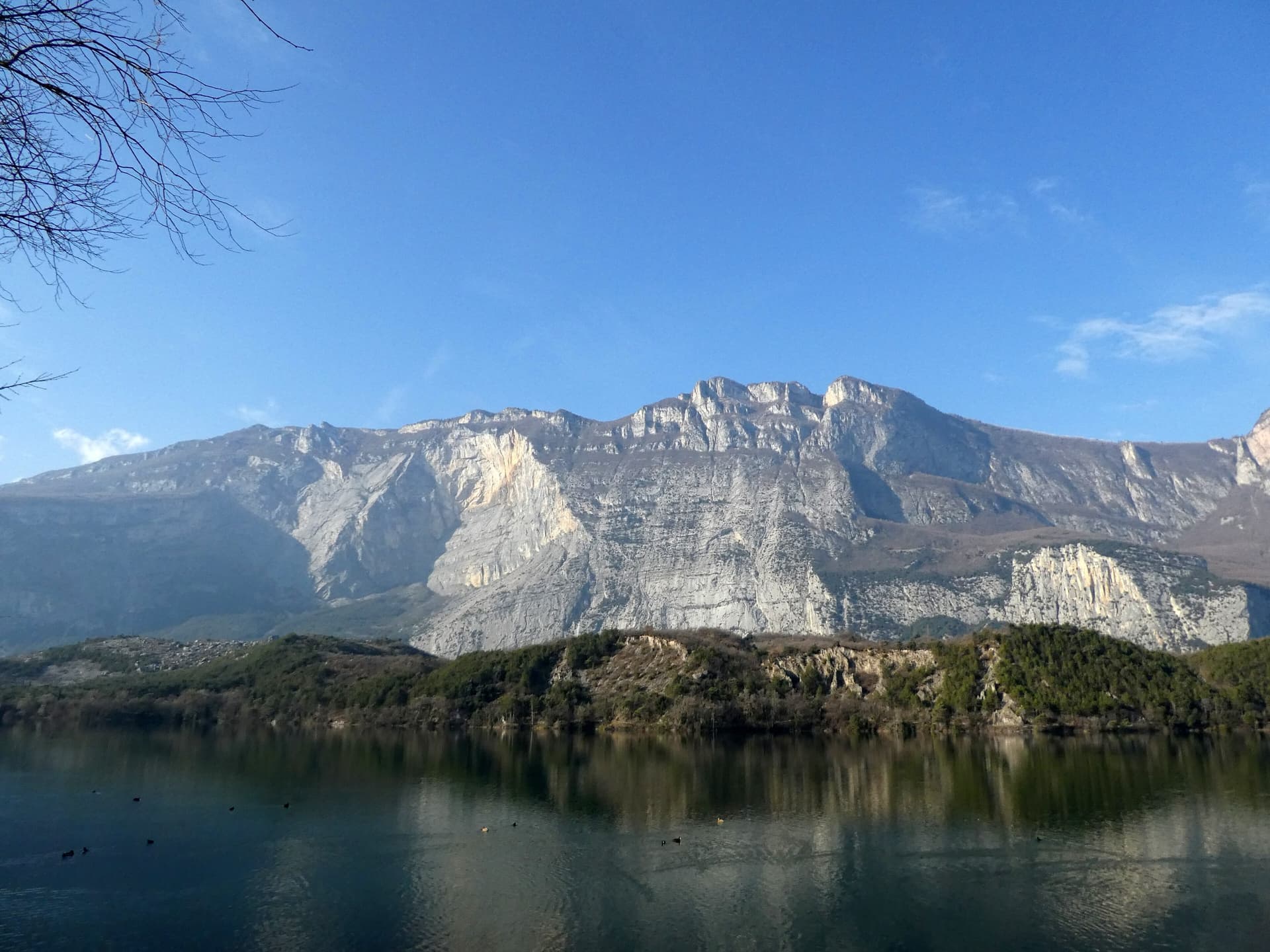
Italy · Arco & Valle del Sarca
This is the archetypal long, easy Arco slab, first climbed in 1971. It wanders up the lower bands and then improves into a superb water-worn chimney system in the upper half. It is very polished and very busy, so start early. Original grade 6- UIAA per bergsteigen.com; gulliver gives 5c max.
5c16 pitches400 m
Read the cautions
Compiled from published sources and last verified October 2026. Bolts, anchors and access change. Climbing is dangerous and you are responsible for your own decisions: check a current topo and read the disclaimer.