Croatia · Paklenica
Karamara Sweet Temptations
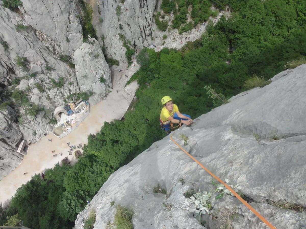
A five-minute approach from the gorge café. There is a polished boulder-problem start, then wandering grooves and an airy traverse on the 6a+ third pitch.
6a+4 pitches110 m
Read the cautions
Kuk od Skradelin · Paklenica · Croatia
Read the cautionsBail with caveatsBolting confidence: medium
A short, high-quality modern line: a clean straight first pitch, then a steep crack crux and magnificent water grooves.
Bolted and climbable on quickdraws alone, but on 8 mm studs with unprotected easy sections, and one source recommends carrying medium cams.
The route
A short five-pitch route on Kuk od Skradelin, the first wall on the right directly above the Paklenica car park, with a two-minute approach. It gives a long, straight 6a on sculpted grey rock, a steep crack pitch with a slabby crux exit, and then a sea of water grooves. The rock is compact and barely polished despite the roadside position. The hard moves are well bolted, but the easy ground is run-out, the pitch bolts are thin 8 mm studs, and several parties think the crux is nearer 6b.
The climbing
| Pitch | Grade | Notes |
|---|---|---|
| P1 | 6a | Long, straight and sustained on perfect sculpted grey rock. Several parties rate it the best pitch and friendly for 6a. |
| P2 | 5c | Short. Climb the small wall up and right of the belay, steeper but on big holds, then grooves. One party thought a move here could be 6b. |
| P3 | 6a+ | The key pitch: a steep, athletic crack with good footholds and rests, then a technical slabby exit that is the crux of the route. Bolts are closer here and the moves can be aided by pulling on quickdraws. After the last two bolts at the top of the crack, move right fairly soon into the grooves and then straight up to the belay; a 2016 report says there are no more bolts on that section. Often thought to be 6b. |
| P4 | 5c | Superb water grooves trending up and right. One harder move at the start. Climb 2–3 m above a bolt and then traverse right to see the next one; do not follow the polish straight up or you cannot clip to the right. |
| P5 | 5a | Head for the top of the crag past the few bolts. R5 is about 15 m of walking back on the rock plateau. Pitches 4 and 5 can be linked if you manage rope drag. |
Getting there
Base is Starigrad-Paklenica. Drive into the gorge through the national park entrance and park at the car park below the wall (gulliver.it places the wall level with the second parking area; camptocamp says start from the end of the car park).
About 2 minutes. From the end of the car park cross the stream bed to the first routes, following the sign for 'Andy & Max'. The route is between Faulenzer and Schwara bis. Scramble about 10 m up onto the ledge, past Andy & Max, to find the start, which is marked by a small rectangular plaque with the route name.
Loading map
The point marks the crag, not the exact start of the route.
Point from camptocamp waypoint 279761
Contains the route point. Opens in most mapping apps and GPS watches.
Points are compiled from published sources, with the precision stated above. They were not surveyed on the ground: check them against a current topo.
Coordinates: 44.30318, 15.47419 (crag)
Getting down
Walking is recommended over abseiling (about 20 minutes). From the top, traverse about 15 m along the grooved rock pavement to the notch. Then either go down the left bank of the gully (not too far left; easy down-climbing, findable on sight), or cross a few metres right to red paint marks, down-climb an open corner and follow the red marks to the path in the gorge. The scree gully leads down past the Hram single-pitch sector. Abseiling is also possible: camptocamp mentions several lines to the left and right, with the first abseil anchor to the right, and a 2011 party used a line to the right of the route. No source gives abseil lengths.
Retreat
Bail with caveats
Probably yes, but it is thinly documented. camptocamp lists abseiling as a descent option with several lines to the left and right of the route, and a 2011 party abseiled a line to the right. No source gives abseil lengths or says whether the route's own belays are rigged for abseil, and walking off from the top is the recommended descent.
Partly inferred from the route facts
Safety
Sun and weather
West-facing. In shade in the morning; parties in July and August start at about 08:00 to climb cool and are in the sun by the top. Reports run from late April to the end of October. Two to two and a half hours of climbing.
Sun on the wall · W-facing
Working out the sunlit hours for this month.
Sun on the wallDaylight, wall in shade● Usual season
Estimated from the wall's aspect only. Ignores surrounding terrain, gullies and the wall's exact shape. Clock times are local to the wall (Central European time), for the 15th of each month.
| Measure | Jan | Feb | Mar (usual season) | Apr (usual season) | May (usual season) | Jun (usual season) | Jul | Aug | Sep (usual season) | Oct (usual season) | Nov (usual season) | Dec |
|---|---|---|---|---|---|---|---|---|---|---|---|---|
| Mean daily high °C | 7 | 8 | 12 | 16 | 21 | 25 | 28 | 28 | 23 | 18 | 13 | 8 |
| Mean daily low °C | 0 | 0 | 3 | 7 | 12 | 16 | 18 | 18 | 14 | 10 | 6 | 2 |
| Rain days 1 mm or more | 11 | 10 | 11 | 12 | 11 | 8 | 6 | 6 | 9 | 11 | 13 | 12 |
| Sunshine hours a day | 6.1 | 7.6 | 9.3 | 10.6 | 12.1 | 13.0 | 13.4 | 12.7 | 10.5 | 8.5 | 6.4 | 5.6 |
● marks the usual climbing season. Averages for 1991-2020 at about 262 m. Area climate from Open-Meteo reanalysis (about 10 km grid): the wall and valley can differ. Data: Open-Meteo, CC BY 4.0.
What to carry
12 quickdraws and a 60 m rope (camptocamp Spanish page and a 2011 blog). Slings. gulliver.it recommends a few medium cams. Helmet.
Derived from the route data; check it against a current topo
From climbers
Reader reports are not being collected yet. Until they are, check a current topo and the local club or guidebook publisher for recent changes to Dreaming the Lost Friends.
Worth knowing
Open questions
Provenance
Same area
Croatia · Paklenica
A five-minute approach from the gorge café. There is a polished boulder-problem start, then wandering grooves and an airy traverse on the 6a+ third pitch.
6a+4 pitches110 m
Read the cautions
Croatia · Paklenica
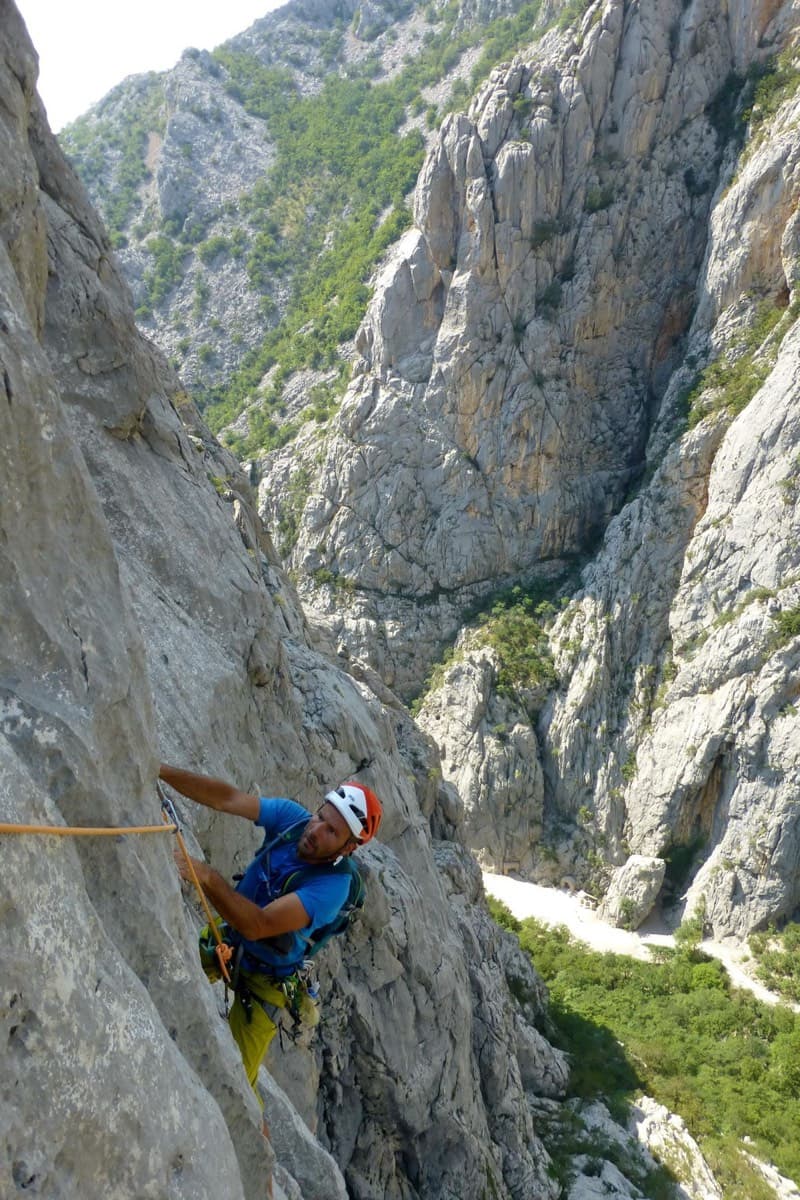
Classic Paklenica water-groove climbing on beautifully sculpted rock. The crux is a rising crack traverse on P5, with delicate slab moves above.
6a+6 pitches160 m
Read the cautions
Croatia · Paklenica
The line used for Paklenica's annual Big Wall Speed Climbing competition: steep, direct and on very rough rock that has stayed unpolished. A sustained 45 m 6c+ pitch on small holds is the crux, followed by sharp runnels, a big corner and three overhangs to finish. Fifteen minutes from the car.
6c+6 pitches200 m
Croatia · Paklenica
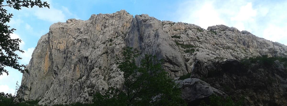
A short, hard line high on the shady north face of Anića kuk: a steep 6a+, a 7a corner on razor-sharp small edges, a slightly overhanging 6c+ corner and a long finish up water runnels. The rock is sharp and superb from the first metre. Good as a half-day or combined with a neighbour.
7a4 pitches130 m
Around 6a+ · about 5 pitches
Spain · Montserrat
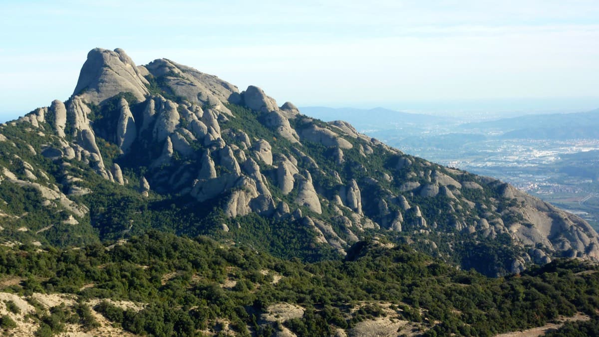
A modern linkup over two pinnacles on excellent conglomerate. Overhanging 6a and 6a+ walls alternate with easy 'potato-field' slabs. The new bolting makes it one of the most reassuring long lines in the massif.
6a+5 pitches185 m
Croatia · Omiš
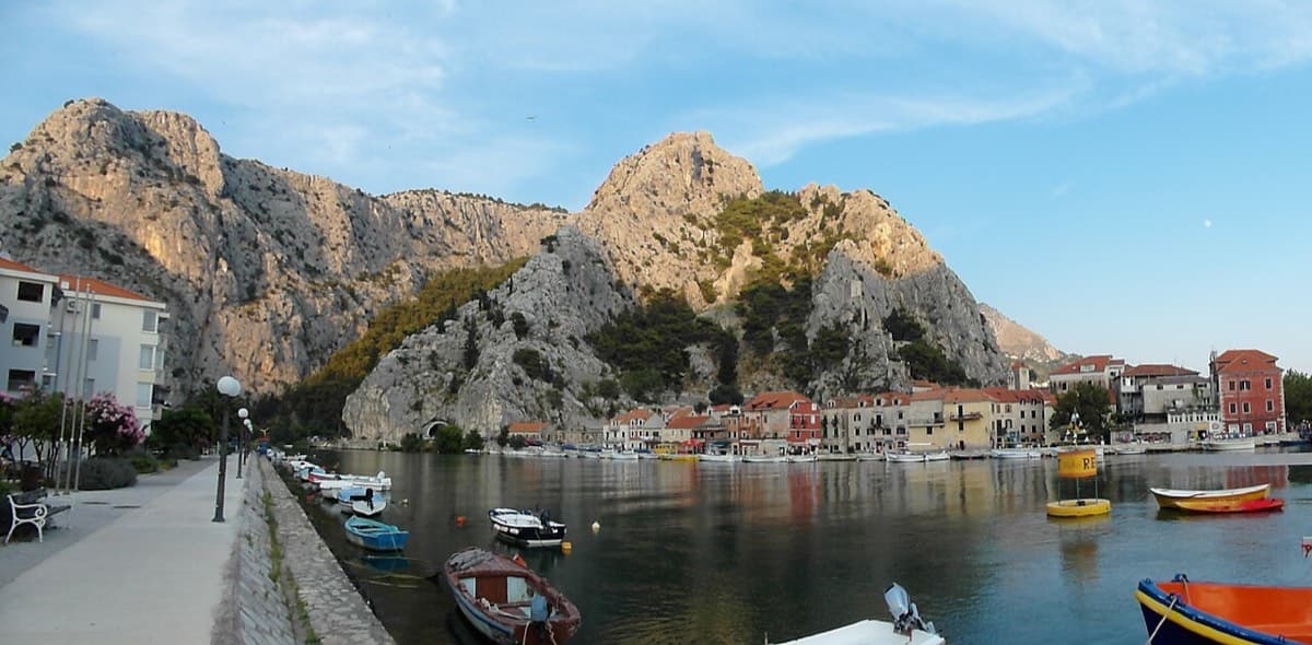
Sharp, coral-like rock mixing slab and steep juggy walls, finishing up a crack system. It has the best views in Omiš, over the sea, the river and the old town.
6a+5 pitches200 m
Read the cautions
Greece · Kalymnos & Telendos
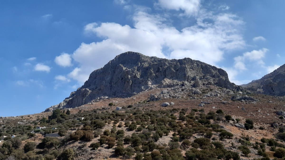
A varied, consistently sustained line on good rock with long pitches (25–38 m): vertical walls and a superb corner on P3. Quieter than the Masouri classics.
6a+5 pitches200 m
Spain · Riglos & Agüero (Mallos)
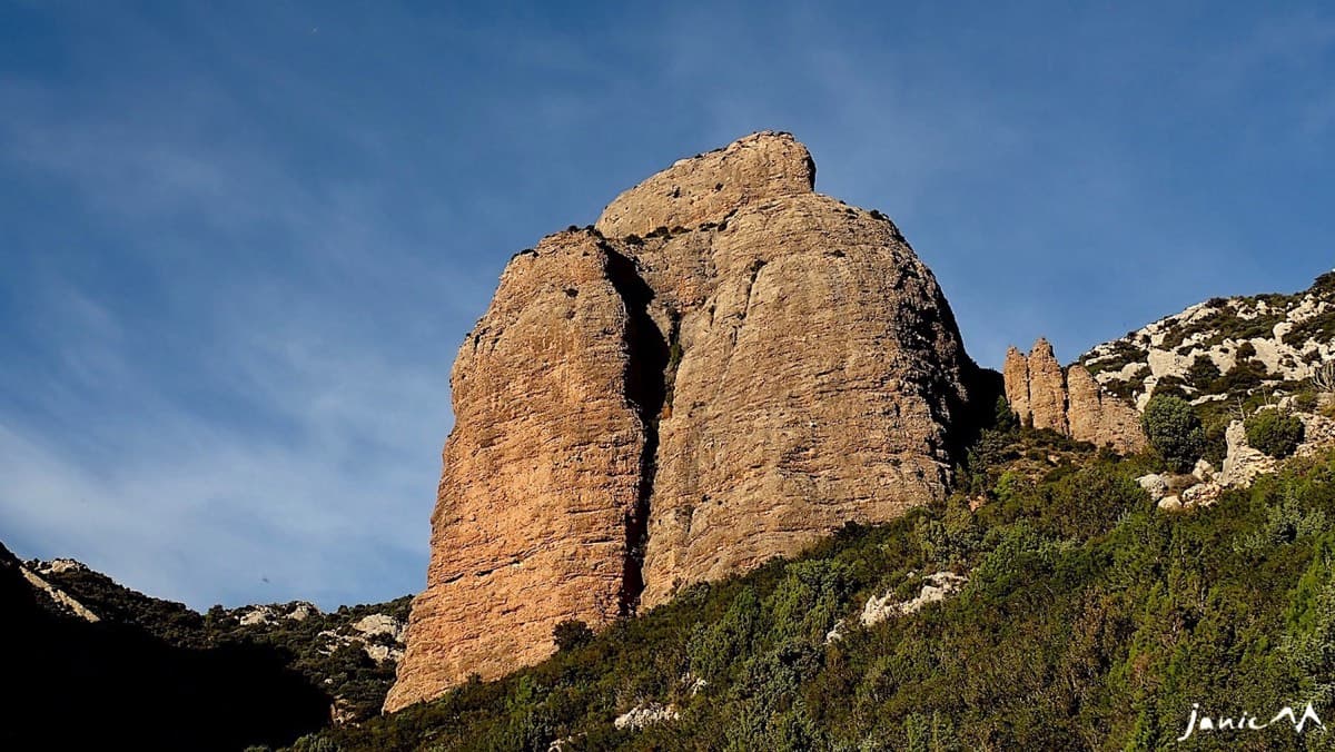
Five 25 m pitches right of the deep groove on the Colorado, joining Anorexia for the last one. Mediocre rock low on the first pitch.
6a+5 pitches125 m
Read the cautions
Compiled from published sources and last verified October 2026. Bolts, anchors and access change. Climbing is dangerous and you are responsible for your own decisions: check a current topo and read the disclaimer.