Croatia · Paklenica
Karamara Sweet Temptations
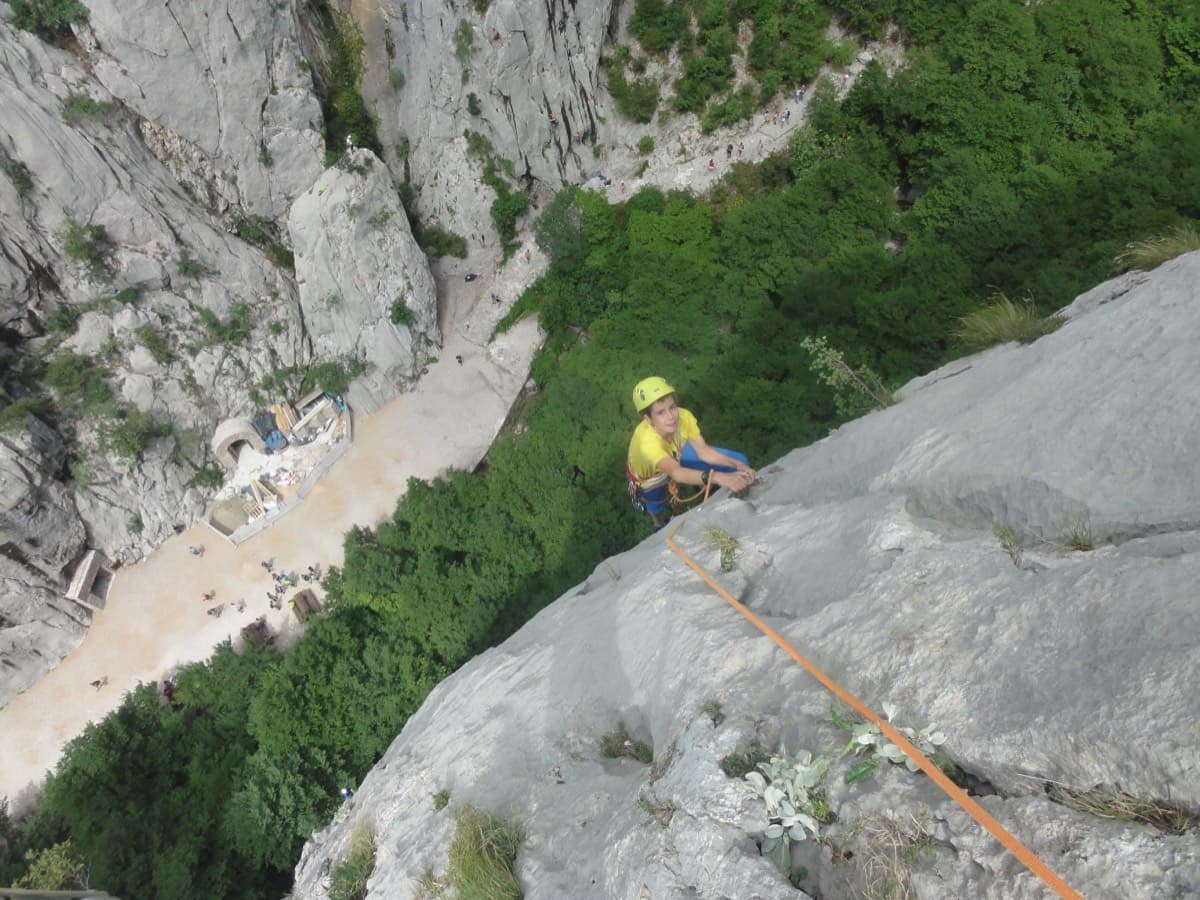
A five-minute approach from the gorge café. There is a polished boulder-problem start, then wandering grooves and an airy traverse on the 6a+ third pitch.
6a+4 pitches110 m
Read the cautions
Veliki Ćuk · Paklenica · Croatia
Read the cautionsBail with caveatsBolting confidence: medium
Classic Paklenica water-groove climbing on beautifully sculpted rock. The crux is a rising crack traverse on P5, with delicate slab moves above.
Bolted throughout with bolted belays, but spacing opens up on the upper pitches, pitch 5 has a harder look-alike line that parties stray onto, and the walk-off crosses unstable scree.
The route
Water Song is a six-pitch route on the north-west face of Veliki Ćuk in Paklenica, known for its water grooves (runnels) on sculpted grey limestone. The first three pitches are closely bolted groove and slab climbing; the upper half is steeper, with a crack traverse, a short technical crux pitch and a delicate slab to finish. It is one of the most popular mid-grade routes in the park. The top half feels harder and more spaced than the bottom, pitch 5 has a route-finding trap, and the walk-off crosses loose ground.
The climbing
| Pitch | Grade | Length | Bolts | Notes |
|---|---|---|---|---|
| P1 | 5c | 30 m | 5 bolts | Wall and water grooves, closely bolted. Mountain Project counts five bolts and calls it short; bergsteigen.com gives 25 m. |
| P2 | 5c | 25 m | 9 bolts | Water grooves, about nine bolts. Do not skip R2: camptocamp warns you can end up 5 m short of rope below R3. Mountain Project says P1 and P2 can be linked with a 70 m rope and 15 quickdraws. |
| P3 | 4b | 30 m | – | Easier grooves, straight up then leftwards. Some find it harder than the grade. bergsteigen.com gives 40 m. |
| P4 | 5c | 15 m | – | Short pitch rightwards up an oblique crack/ramp on big holds to the top of a large block, staying inside a big flake. Awkward and somewhat polished; one party suggested 6a. Do not link with pitch 5 because of rope drag on the crux. |
| P5 | 6a+ | 20 m | – | The crux, concentrated in a few metres. camptocamp describes traversing left along a rising crack to a belay on the left; Mountain Project says to start right from the belay, traverse left and finish right, and to stop at the first two bolts you see because the guidebook misplaces the belay; bergsteigen.com describes a left-then-right loop, slabby and steep at first, then big holds over a small bulge. A separate, harder line also leaves this belay; see hazards. |
| P6 | 5c | 30 m | – | Two delicate slab moves (one party suggested 6a), a big crack with some bridging, then easier grooves and slabs to the summit platform. The longest pitch; extendable draws or slings help. |
Getting there
Base is Starigrad-Paklenica. Drive into the gorge, pay at the national park entrance and park at the last car park (about 120 m altitude).
20–30 minutes. From the last car park follow the main paved path up the gorge. At the second bridge (a sign reads 'Veliki Ćuk') turn right and climb steeply for about 50 m, then leave the gully to the right (the gully is the descent). Traverse about 15 m and take the steel cables up and left over the rock step. At the notch you pass the foot of the north rib (Sjeverno rebro); carry on roughly level, across an open bowl below a wooded gully. The route starts from a small ledge reached by a few metres of scrambling (some parties climbed a corner to reach it), 5–10 m above the arrival platform. A small plaque reads '6a+ Water Song'.
Loading map
The point marks the crag, not the exact start of the route.
Parking
Parking marked on bergsteigen.com
Point from bergsteigen.com touren/klettern/water-song-veliki-cuk-paklenica (marker labelled approximate)
Contains the route point and parking. Opens in most mapping apps and GPS watches.
Points are compiled from published sources, with the precision stated above. They were not surveyed on the ground: check them against a current topo.
Coordinates: 44.30624, 15.47542 (crag) · Parking: 44.30260, 15.47084
Getting down
Walk off; no abseils. From the summit area go east and scramble down (maximum grade II, a few sections with cables), following a well-cairned line and red paint marks down the gully. You join the approach to the Anića kuk routes and then the cables that bring you back near the start and the gorge path. camptocamp allows 1 h; bergsteigen.com gives 30 minutes; a 2019 party was back at the car park 30 minutes after topping out.
Retreat
Bail with caveats
No source describes a retreat: the route is a walk-off with no abseils. The facts suggest you can abseil back down, because the belays are bolted, the pitches are only 15 to 30 m and the route is 160 m long, but expect to leave gear. Mountain Project mentions parties bailing from the wrong line on pitch 5.
Partly inferred from the route facts
Safety
Sun and weather
North-west facing (camptocamp; bergsteigen.com says west). In summer it stays in shade through the morning and into the early afternoon: an August 2019 party started at 13:20 because it was still shaded. Rock is slightly worn but not unpleasantly polished, except pitch 4. The trip reports read are from August and September.
Sun on the wall · NW-facing
Working out the sunlit hours for this month.
Sun on the wallDaylight, wall in shade● Usual season
Estimated from the wall's aspect only. Ignores surrounding terrain, gullies and the wall's exact shape. Clock times are local to the wall (Central European time), for the 15th of each month.
| Measure | Jan | Feb | Mar | Apr (usual season) | May (usual season) | Jun (usual season) | Jul | Aug | Sep (usual season) | Oct (usual season) | Nov | Dec |
|---|---|---|---|---|---|---|---|---|---|---|---|---|
| Mean daily high °C | 7 | 8 | 12 | 16 | 21 | 25 | 28 | 28 | 23 | 18 | 13 | 8 |
| Mean daily low °C | 0 | 0 | 3 | 7 | 12 | 16 | 18 | 18 | 14 | 10 | 6 | 2 |
| Rain days 1 mm or more | 11 | 10 | 11 | 12 | 11 | 8 | 6 | 6 | 9 | 11 | 13 | 12 |
| Sunshine hours a day | 6.1 | 7.6 | 9.3 | 10.6 | 12.1 | 13.0 | 13.4 | 12.7 | 10.5 | 8.5 | 6.4 | 5.6 |
● marks the usual climbing season. Averages for 1991-2020 at about 262 m. Area climate from Open-Meteo reanalysis (about 10 km grid): the wall and valley can differ. Data: Open-Meteo, CC BY 4.0.
What to carry
About 10 quickdraws (bergsteigen.com and Mountain Project), plus 3–4 extendable draws or slings for the last pitch and material for the bolted belays. bergsteigen.com lists 2×50 m ropes and says no cams or nuts are needed. Two camptocamp reports say medium cams can be useful on the upper pitches, pitch 5 in particular. Helmet.
Derived from the route data; check it against a current topo
From climbers
Reader reports are not being collected yet. Until they are, check a current topo and the local club or guidebook publisher for recent changes to Water Song.
Worth knowing
Open questions
Provenance
Same area
Croatia · Paklenica
A five-minute approach from the gorge café. There is a polished boulder-problem start, then wandering grooves and an airy traverse on the 6a+ third pitch.
6a+4 pitches110 m
Read the cautions
Croatia · Paklenica
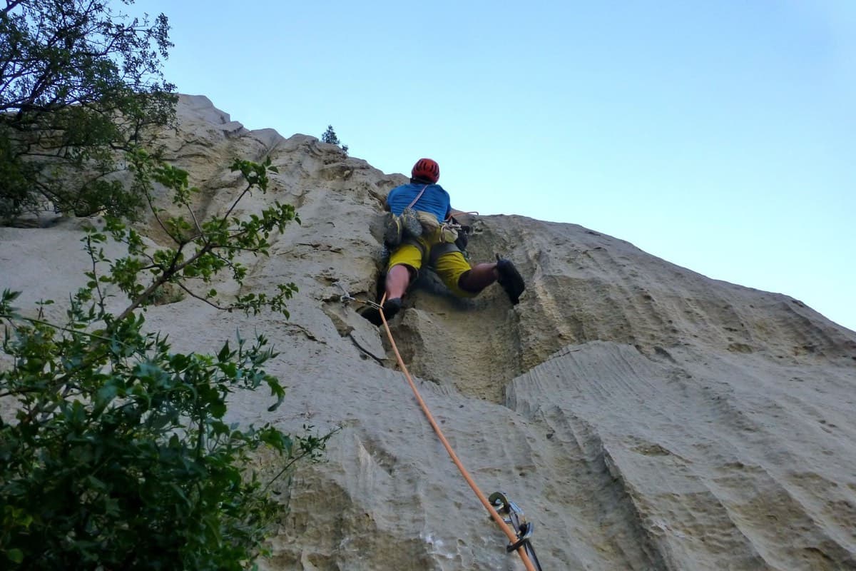
A short, high-quality modern line: a clean straight first pitch, then a steep crack crux and magnificent water grooves.
6a+5 pitches100 m
Read the cautions
Croatia · Paklenica
The line used for Paklenica's annual Big Wall Speed Climbing competition: steep, direct and on very rough rock that has stayed unpolished. A sustained 45 m 6c+ pitch on small holds is the crux, followed by sharp runnels, a big corner and three overhangs to finish. Fifteen minutes from the car.
6c+6 pitches200 m
Croatia · Paklenica
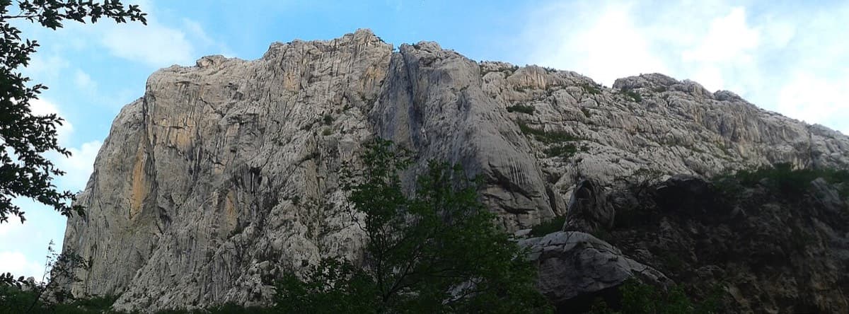
A short, hard line high on the shady north face of Anića kuk: a steep 6a+, a 7a corner on razor-sharp small edges, a slightly overhanging 6c+ corner and a long finish up water runnels. The rock is sharp and superb from the first metre. Good as a half-day or combined with a neighbour.
7a4 pitches130 m
Around 6a+ · about 6 pitches
Switzerland · Furka
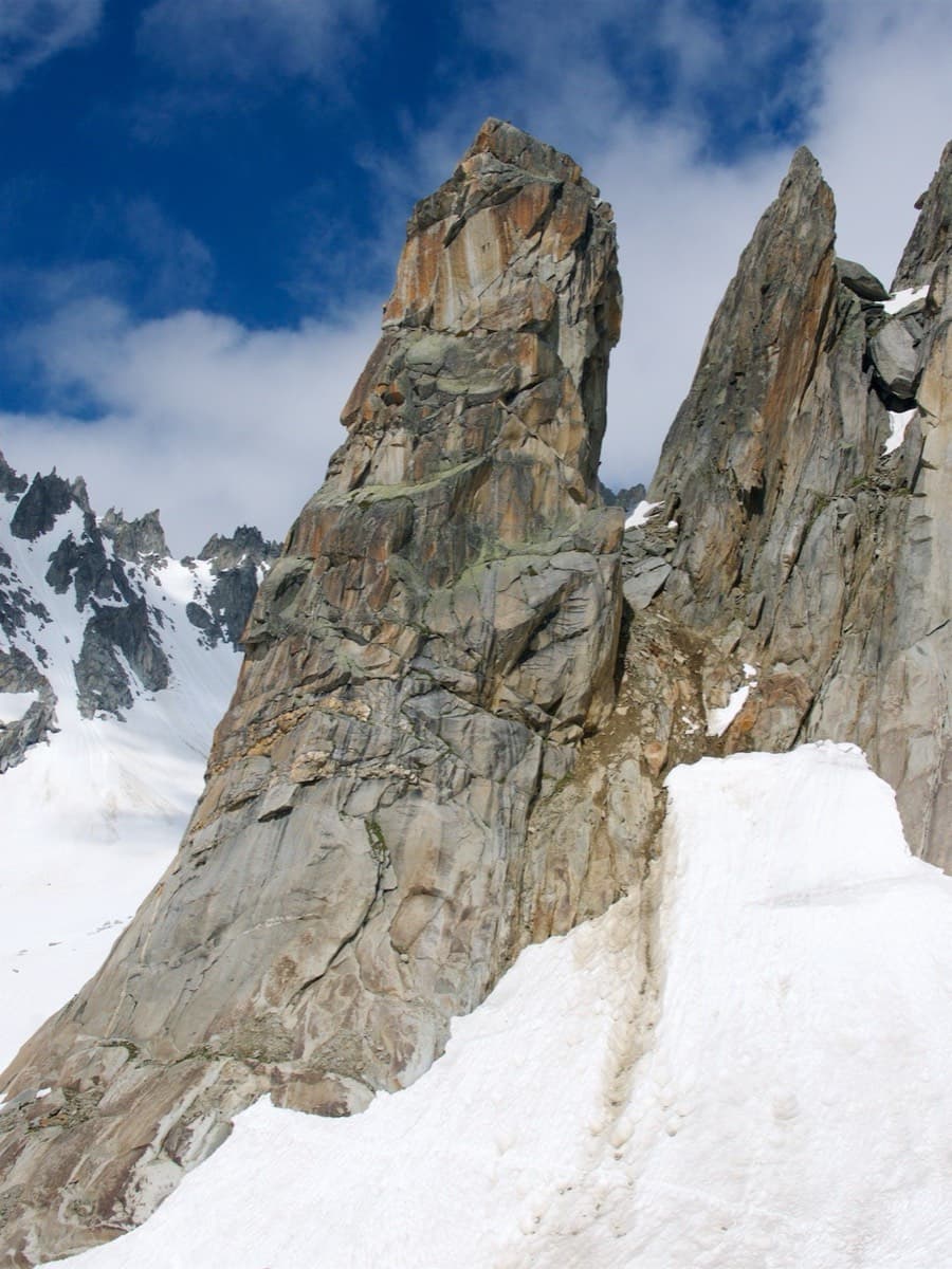
The classic of the Hannibalturm: six short, wandering pitches of slab, quartz veins, cracks and a 6a+ slab crux on perfect high-mountain granite at 2800 m. A bench and a bus-stop sign wait on the summit. Very popular, so expect company.
6a+6 pitches180 m
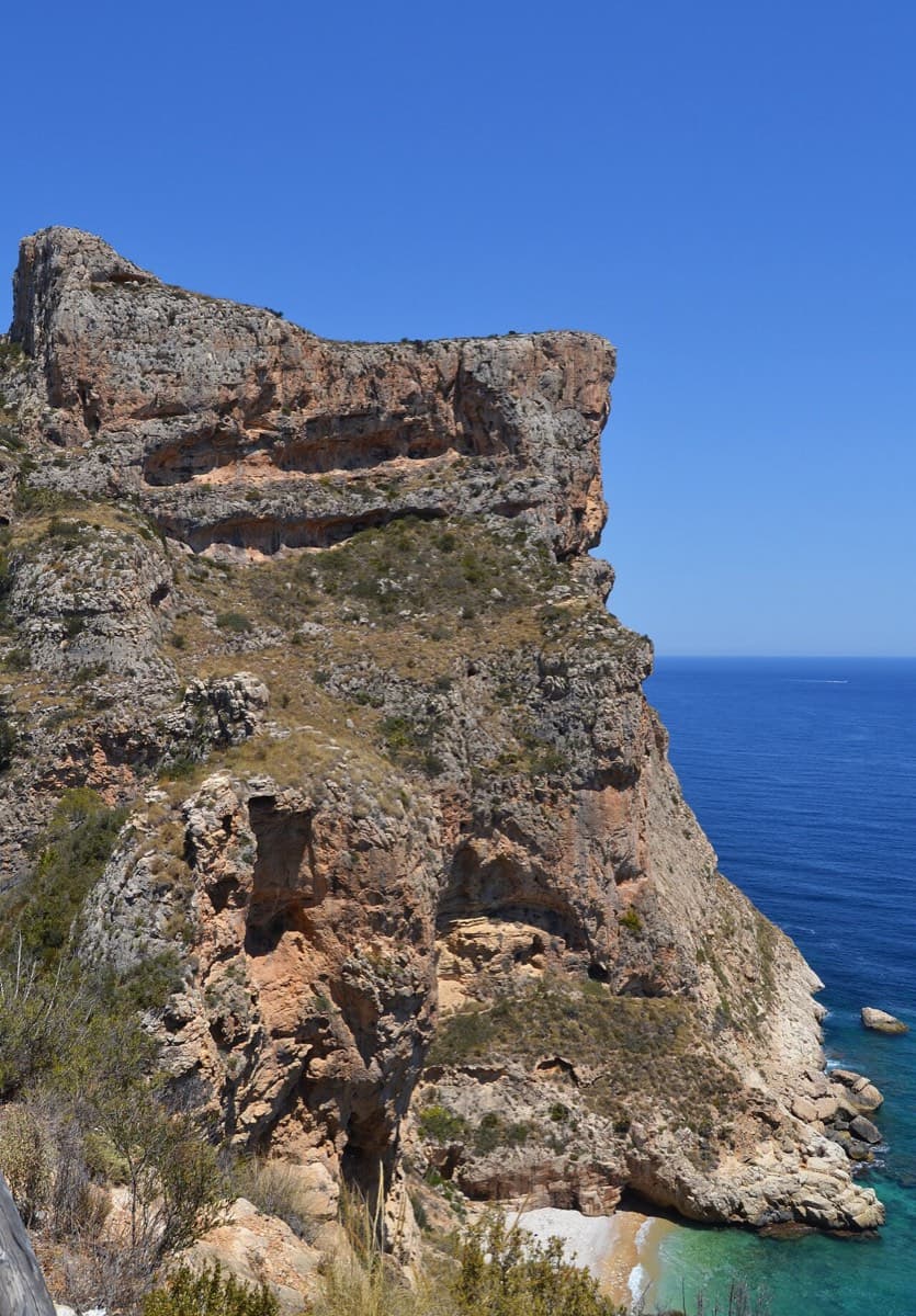
Spain · Costa Blanca (Morro Falquí)
A superb sea-cliff multipitch. P4 makes an impressive exposed exit from a cave with 100 m of air below, and the 6a+ P5 has a chimney and fingery slab. Balancy, airy and great for introducing someone to multipitch.
6a+6 pitches170 m
Read the cautions
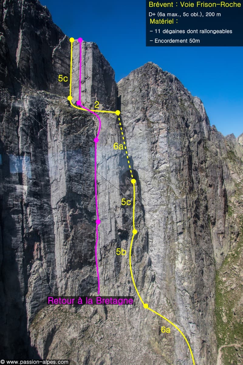
France · Chamonix valley
The great classic of the Aiguilles Rouges: six varied pitches of gneiss, ten minutes downhill from the Brévent cable car and finishing at its top station, with Mont Blanc opposite. The crux is a short, physical corner crack and the last pitch is a long, clean corner. It is extremely popular.
6a+6 pitches200 m
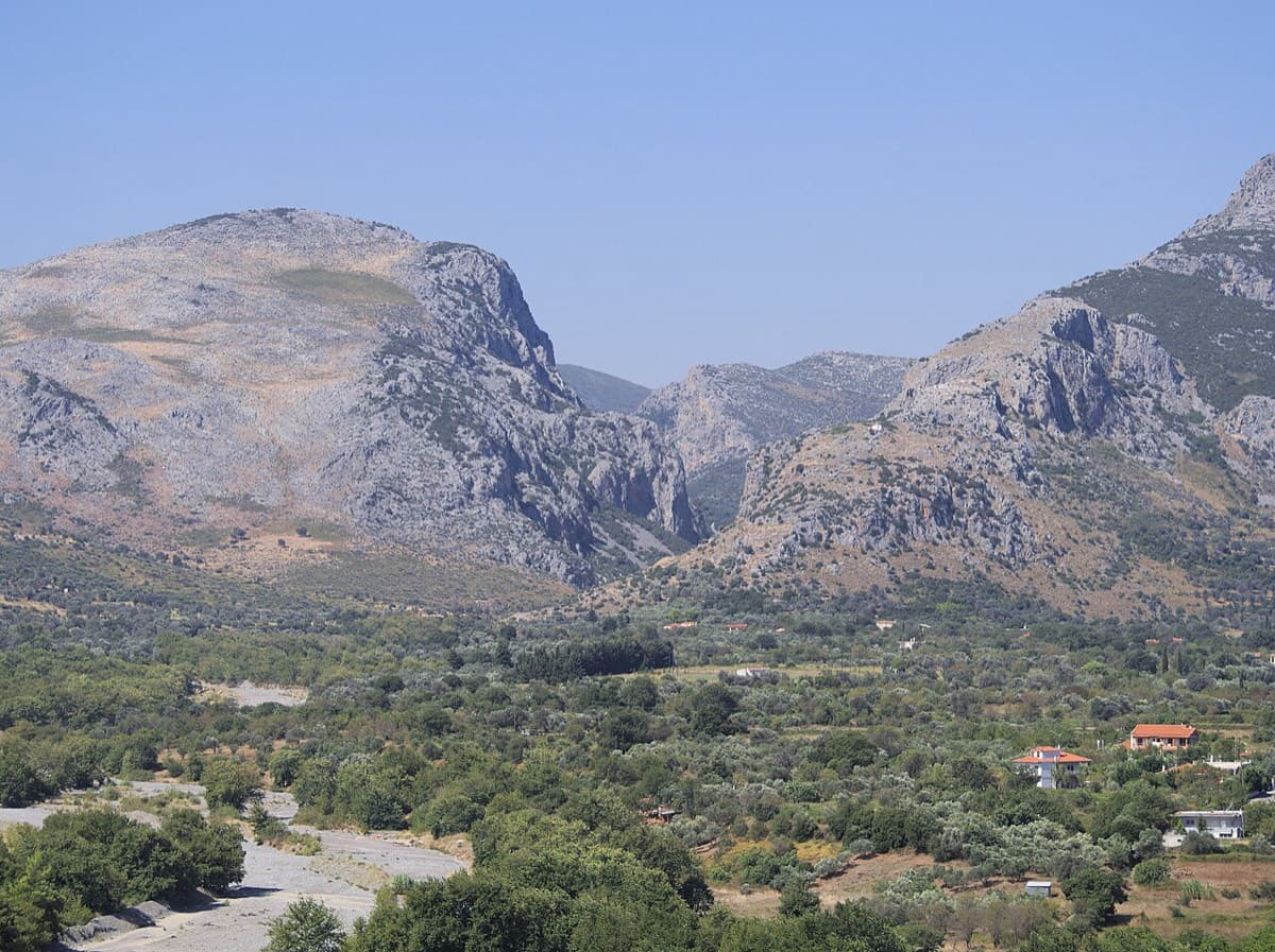
Greece · Manikia (Evia)
An even-graded route in a beautiful gorge setting: pocketed and sculpted slabs below, steeper walls above, with one athletic 6a+ move on P5. There are short walking transitions between the lower tiers.
6a+6 pitches200 m
Compiled from published sources and last verified October 2026. Bolts, anchors and access change. Climbing is dangerous and you are responsible for your own decisions: check a current topo and read the disclaimer.