Menu

Ticket pour Manikia

Ranc des Agnelons – west face · Gerbier (Vercors) · France

Easy to bail

Seven long, sustained pitches on compact fluted limestone on the highest part of the Ranc des Agnelons. A bouldery 6c+ start, a magnificent 45 m 7a endurance pitch, then cannelures at 6b. Generous grades and close bolting make it a good first route at this level.

Climbing mode: Big type, screen kept awake, tick pitches as you go.

Hardest pitch
7a7a
Pitches
7
Length
260 m
Approach
90 min
Aspect
W
West-facing
Rope
–

Highest point 1974 m above sea level (camptocamp route 1687721).

Rock
limestone
Season
May to Oct
Bolting confidence
High
Last verified
October 2026 · Aggregated by AI from published sources

Photo

Climbing modeBig type, screen kept awake, tick pitches as you go.

Overview

Ticket pour Manikia climbs the west face of the Ranc des Agnelons, the northern continuation of the Gerbier ridge above Villard-de-Lans, where the face is highest. Pitches average about 40 m on excellent compact grey limestone, with crack climbing low down and fluted cannelures higher up. The second pitch, 45 m of continuous 7a with good rests, is the highlight. Recent parties consistently describe the bolting as close and impeccable and the grades as generous; pitch 7 has a reach-dependent move. The face is in shade until early afternoon.

Worth knowing

  • Leave a bag at the Bergerie de la Fauge to lighten the approach.
  • Grades on camptocamp are generally felt to be fair to generous; the regional guidebook gives ED and 7a+.

Pitch by pitch

The atlas doesn't show topos: they are the work of the people who bolt and document these routes. See the topo at Espace Vertical – Ticket pour Manikia topo (PDF), or in Escalades Choisies en Vercors, Chartreuse et Dévoluy.

Pitches of Ticket pour Manikia
PitchGradeLengthNotes
P16c+45 mRising rightwards; one big move to reach a crack and mantel onto a bulge, then a pumpy crack finish. Rock needs care at the start.
P27a45 mStraight up: a long, continuous sequence of physical moves with rests. The best pitch of the route.
P36a25 mShort transition pitch.
P46b40 mWanders a little (manage rope drag), then a fine cannelure to finish. You can belay on two plates at the end of the pitch or a little higher on glue-ins at the foot of pitch 5.
P56b+40 mCannelures; technical and sustained, with foot-jams between the flutings.
P66b40 mA fine run-up; the rock is less good towards the end, so do not pull on everything.
P76c/7a25 mA reachy 3 m section at the start (6c if you are 1.80 m or taller, 7a if shorter), then a crack leading diagonally left. One short climber bypassed the start on the right, on poorer rock.

Approach

To the parking

From Villard-de-Lans drive to Les Clots (west side of the Vercors). A 2026 party approached instead from the east via the Col Vert.

On foot · about 90 min

About 1.5 hours. From Les Clots go up to the Bergerie de la Fauge via the Collet des Clots, climb the Combe Charbonnière, and at the junction turn left onto the Sentier Péronnard towards the Col Vert. The route starts where the face is highest, roughly below the word 'Ranc' on the IGN map; a photo on camptocamp helps to locate it. A low rock band below the path guards the face.

Map of the walk-in

Coordinates · route base

45.04040, 5.59215

Parking

45.05579, 5.56775

camptocamp waypoint 110553 (Villard-de-Lans – Les Clots)

DirectionsDriving directions

Point from camptocamp route 1687721

For your phone or watch

Download GPX

Contains the route point and parking.

Points from published sources, not surveyed.

Descent

Walk north along the crest of the Ranc des Agnelons to the Col Vert and descend the GR91 to Les Clots. You can also abseil the route: the belays are on two bolts with ring hangers.

Bailing off the route

Easy to bail

Every belay is on two bolts with ring hangers that take the rope directly, and a 2026 party states the route can be abseiled. Retreat by abseiling the line from any belay.

Retreat from
Any belay.
Point of no return
None documented.
Carry
Ropes long enough for abseils of up to 45 m (lengths not stated).
Basis
Stated in the sourcesA 2026 trip report states abseil descent is possible and describes the ring hangers; rope requirements are inferred from pitch lengths.

France

In an emergency

In an emergency · France

112Emergency; sends PGHM or CRS mountain rescue

Call 112

Emergency; sends PGHM or CRS mountain rescue

Position of the route base

45.04040, 5.59215

Say what happened, how many are hurt, and where you are. Checked October 2026 (source).

Hazards

  • Some poor rock at the start of pitch 1 and in the upper part of pitch 6.
  • Long mountain day: about 7 hours car to car is typical.
  • Rock needs care at the belays, on the grassy sections and at the end of pitch 6; a June 2025 party advises against starting if another party is already on the route, because stones are likely to fall.

Gear

15 quickdraws (a May 2026 party found 16 useful). Rope length not stated; pitches are up to 45 m.

Checklist

Quickdraws
15
Rope
Not given
Helmet
One each
Abseil device and prusik
For abseiling

Conditions

Plan B nearby

Straight-line distances, up to 30 km.

Reader reports

No reports yet.

Report a problem with this route

Say what and where. Reports are checked before they appear; no name or email is stored.

Bolts and history

Bolting
Opened from below in summer 2020 and bolted throughout; recent parties call the bolting close and impeccable. Belays are on two unlinked bolts with ring-type hangers, so you can thread the rope directly to abseil.
History
Opened from below by Nicolas Glée and Victor Thomas in summer 2020.
Guidebook
Chartreuse, Vercors, Dévoluy (D. Duhaut). Topo PDF published by the Espace Vertical climbing gym. Buy from kletterfuehrer.net.

Where sources disagree

  • Overall grade: the Duhaut guidebook gives ED with a 7a+ crux; camptocamp and recent parties give 7a or easier (one 2026 party felt TD+ overall).

Sources

Around 7a · about 7 pitches

Similar elsewhere

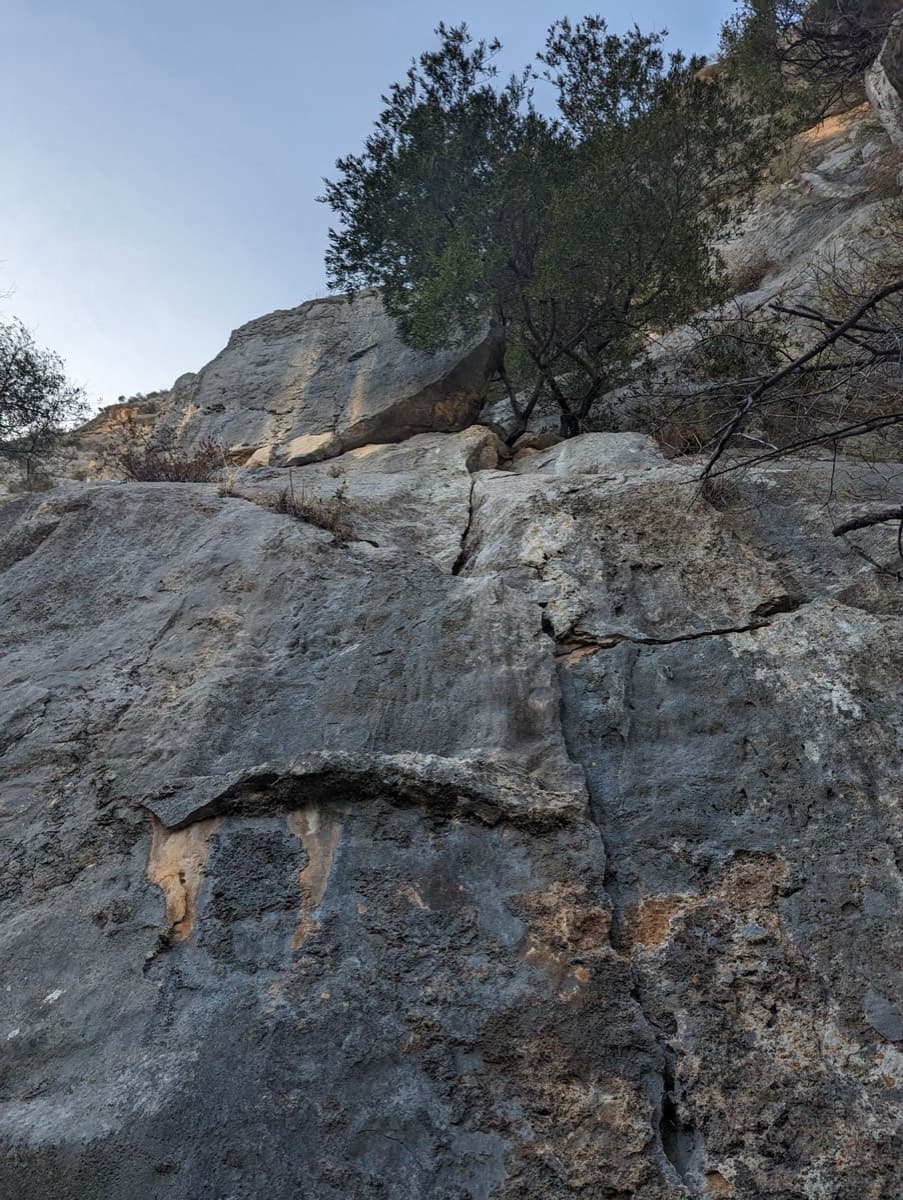
The start of Alfredo Alfredo at the foot of the east face of Monte Oddeu

Italy · Sardinia

Alfredo Alfredo

Two pitches of bridging up a 60 m corner hung with tufas and stalactites (6c+, 6c), then grey water-drop walls and a short roof at 7a that goes in three moves of aid. Seven pitches of varied climbing on perfect, unpolished rock.

7a7a7 pitches220 m

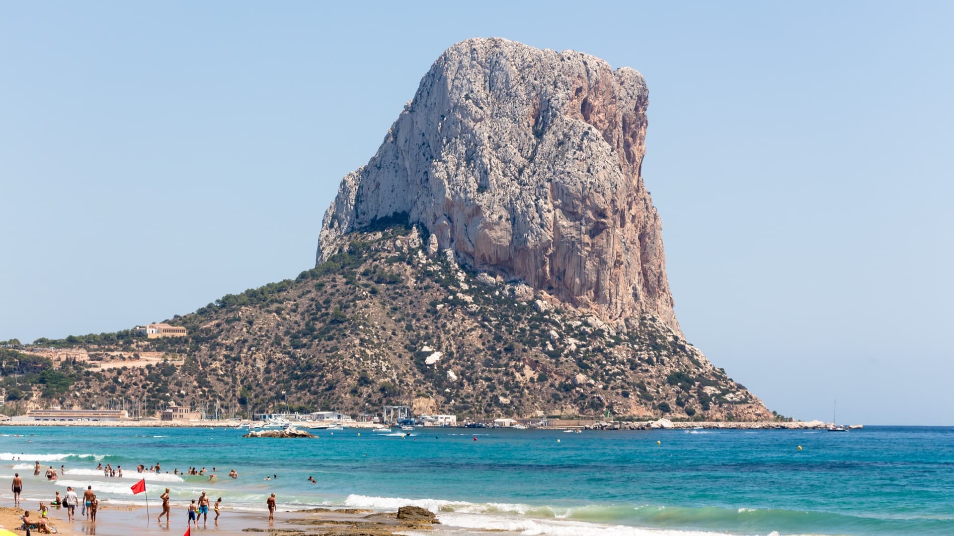
The Peñón de Ifach seen from the coast at Calp. The line of the route is not marked.

Spain · Costa Blanca (Peñón de Ifach)

Puto Paseo Ecológico

A sustained sport line up the pillar between Costa Blanca and the Diedro UBSA, on rock that has escaped the polish of the older classics. Five of the seven pitches are 6b+ or harder and both 7a sections go at A0. Parties single out the finger-lock crack of pitch 3 and the pillar edge of pitch 4.

7a7a7 pitches250 m

Read the cautions

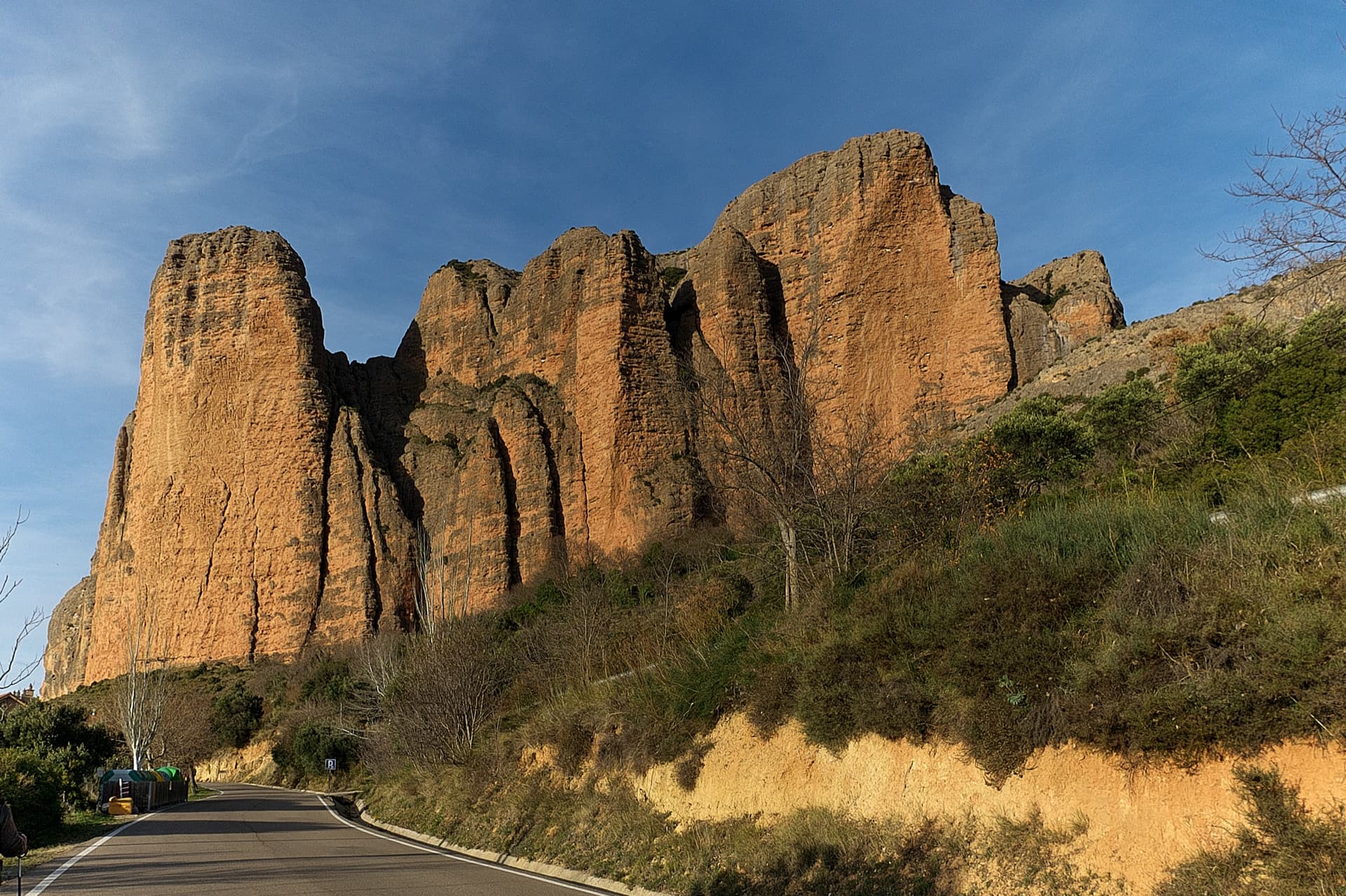
The south faces of the main Riglos wall in low sun, seen from the road into the village: Mallo Pisón on the left and the wall running right towards Mallo Frechín and La Visera at the right-hand end.

Spain · Riglos & Agüero (Mallos)

Zulú Demente

The other great line of the Visera, on a concave wall that leans further out the higher you go. Six pitches at 6a to 6b on big cobbles lead to the vulture ledge, then one short, very overhanging crux pitch above enormous exposure. That last pitch is about 7a free, or roughly 6b to 6c with rests on its closely spaced bolts.

7a7a7 pitches250 m

Read the cautionsCommitting

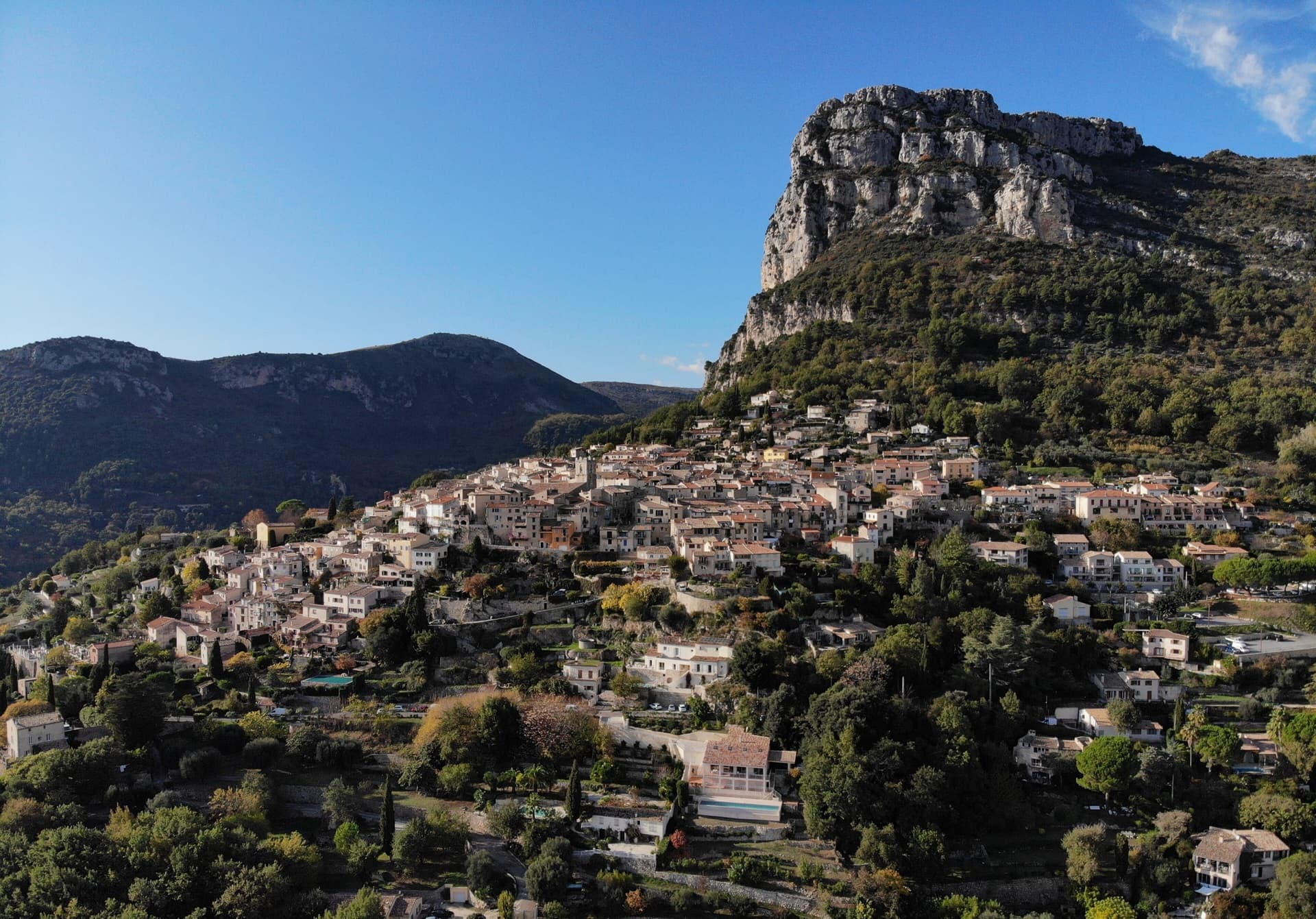
The village of Saint-Jeannet beneath the main cliff of the Baou de Saint-Jeannet; Jardins secrets is on this Grande Face, the exact line is not marked.

France · Baou de Saint-Jeannet

Jardins secrets

One of the essential long routes of the Baou: seven pitches that hardly drop below the sixth grade, each with a different problem, from thin slab to a steep bulge and a superb layback corner at 6c. The single 7a section on pitch 2 is closely bolted and can be aided. Expect a few loose blocks and a scrappy link pitch across the Vernet ledge.

7a7a7 pitches200 m

Read the cautions

Researched and aggregated by AI from published sources, last compiled October 2026. It can be wrong, and bolts, anchors and access change: check a current guidebook and read the disclaimer.