Multipitch Atlas

8anus

Bouflilou · Amellago · Morocco

Read the cautionsBail not documentedBolting confidence: high

Seven pitches on very abrasive limestone beside the oued, with swimming holes below. An athletic start to the 6b second pitch; a couple of doubtful flakes on pitches 3 and 4.

Limestone walls in the Amellago gorges (Colonnette sector)Photo: Patrick Jeandidier · CC BY-SA 3.0

Photo

Limestone walls in the Amellago gorges (Colonnette sector)Photo: Patrick Jeandidier · CC BY-SA 3.0
Hardest pitch
6b
Pitches
7
Length
140 m
Approach
10 min
Aspect
N
North-facing
Rope
1×60 m
walk-off
Read before you go

Bolted on 10 mm bolts by its openers in 2010 but known from a single source with no logged repeats, doubtful flakes on two pitches and 6a obligatory.

The route

Overview

A seven-pitch bolted route on the Bouflilou cliff at Amellago in the eastern High Atlas, on good, very abrasive limestone beside the oued, with pools to swim in below. The hardest climbing is an athletic start to the 6b second pitch, followed by a 6a, a corner pitch and a 6a+ near the top. Protection is described as solid 10 mm bolts. Information is thin: the only description found is the first ascensionists' own camptocamp entry from 2010, which has no logged repeats, so treat it as a little-travelled route in a remote area.

The climbing

Pitch by pitch

Pitches of 8anus
PitchGradeLengthBoltsNotes
P15c+20 m5 bolts–
P26b30 m12 boltsAthletic start. This is the crux pitch.
P36a30 m6 boltsA doubtful flake below the last bolt.
P45b30 m11 boltsDoubtful flakes at the start, then a fine corner.
P55a20 m4 boltsA cairn, a short step and a traverse.
P66a+35 m10 bolts–
P75a5 m2 boltsShort final step, then walking to the top ledge.

Getting there

Approach

To the parking

Amellago is in the Rich area of Errachidia province, Morocco. By public transport take a bus to Er-Rich (on the Midelt–Errachidia road) and a taxi from there; you can also come from Todra by the road between Tinghir and Er-Rich (2 to 3 hours by taxi). The quickest way is to drive from Fès, about 5 hours, and a hire car pays off for groups of more than two. Local climber Mimoun runs a gîte (the first ascensionists refer to the 'oasis Tizarouine'), which has topos and food.

On foot · about 10 min

About 10 minutes according to camptocamp. No walking directions or description of the start are published; ask Mimoun at the gîte for the Bouflilou sector and the start of the route.

Map of the walk-in

  • Crag

Loading map

The point marks the crag, not the exact start of the route.

Coordinates · crag

32.00817, -5.06954

Point from camptocamp waypoint 237261

For your phone or watch

Download GPX

Contains the route point. Opens in most mapping apps and GPS watches.

Points are compiled from published sources, with the precision stated above. They were not surveyed on the ground: check them against a current topo.

Getting down

Descent

Walk off: go directly left along the ledge where the route finishes and follow cairns and Berber steps down. About 40 minutes.

Retreat

Bailing off the route

Bail not documented

Retreat is not documented. The only source is the openers' 2010 camptocamp entry, which gives a walk-off from the top and says nothing about abseiling, escape lines or how the belays are rigged. Treat it as a route you intend to finish, and carry gear to leave in case you cannot.

Carry
Not known. If you want the option, two ropes would be needed for the 30 to 35 m pitches (inferred), plus maillons and cord, since the belay hardware is not described. Pitch 5 includes a traverse, which would complicate an abseil from above it.
Basis
Inferred from the route factsCamptocamp gives only bolt counts, pitch lengths and a 40 minute walk-off; no source mentions abseil anchors or retreat, so the rope and gear suggestions are inference only.

Partly inferred from the route facts

Safety

Hazards

  • Doubtful flakes: one below the last bolt of pitch 3 and several at the start of pitch 4, as noted by the first ascensionists.
  • Single-source route with no logged repeats: the Spanish version of the camptocamp entry describes it as not yet repeated when written, and there are no trip reports. The 2010 bolts have no recent condition report.
  • Only 6 bolts in 30 m on pitch 3 (6a) and 5 in 20 m on pitch 1; camptocamp gives 6a obligatory and lists no aid option for the 6b pitch.
  • Remote area far from rescue services; many other Amellago multipitch routes are only partly equipped, so make sure you are on the right line.

Sun and weather

Conditions

North facing according to camptocamp, so mostly in the shade. Amellago lies at about 1,400 m; camptocamp lists the area as climbable all year, with sunny south-east to south-west walls elsewhere for cold days. The oued below has bathing spots.

Usual season · Mar to May, Sep to Nov

Sun on the wall · N-facing

Working out the sunlit hours for this month.

  • January: not yet worked out
  • February: not yet worked out
  • March (usual season): not yet worked out
  • April (usual season): not yet worked out
  • May (usual season): not yet worked out
  • June: not yet worked out
  • July: not yet worked out
  • August: not yet worked out
  • September (usual season): not yet worked out
  • October (usual season): not yet worked out
  • November (usual season): not yet worked out
  • December: not yet worked out

Sun on the wallDaylight, wall in shade● Usual season

Estimated from the wall's aspect only. Ignores surrounding terrain, gullies and the wall's exact shape. Clock times are local to the wall (Moroccan time), for the 15th of each month.

Climate figures for Amellago are not available yet

What to carry

Gear

12 quickdraws. Rope length is not stated; the longest pitch is given as 35 m and the descent is on foot. Helmet advisable given the flakes noted on pitches 3 and 4.

Checklist

Quickdraws
12
Rope
1×60 m (walk-off)
Helmet
One each
Maillons or spare karabiners
To leave behind if you retreat
Cord
Mentioned for retreat

Derived from the route data; check it against a current topo

From climbers

Reader reports

Reader reports are not being collected yet. Until they are, check a current topo and the local club or guidebook publisher for recent changes to 8anus.

Worth knowing

Tips

  • Call in at Mimoun's gîte first for the local topo, directions and current information.
  • The first ascensionists asked for feedback from repeat ascents, which suggests comparing notes locally before trusting every detail of the topo.

Open questions

Where sources disagree

  • Only one source (camptocamp) was found for this route; a Mountain Project page for the area does not mention it.
  • Camptocamp's height of 140 m does not match its own pitch lengths, which add up to 170 m.
  • Camptocamp gives 6a as the obligatory grade for a route whose hardest pitch is 6b; no source says whether the 6b start can be aided.

Provenance

Sources

Same area

More in Amellago

All routes in Amellago
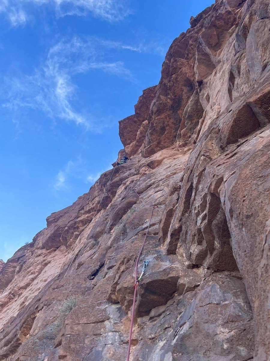
Climber on pitch 3 of Allah bri des toits, Amellago

Morocco · Amellago

Allah bri des toits

The most accessible multipitch at Amellago: four short pitches broken by a walk along a ledge under the roofs, finishing with an exposed traverse on rough brown rock. Some doubtful rock at the start of pitch 3. In shade from mid-afternoon in winter.

6b4 pitches80 m

Read the cautions
Around 6b · about 7 pitches

Similar elsewhere

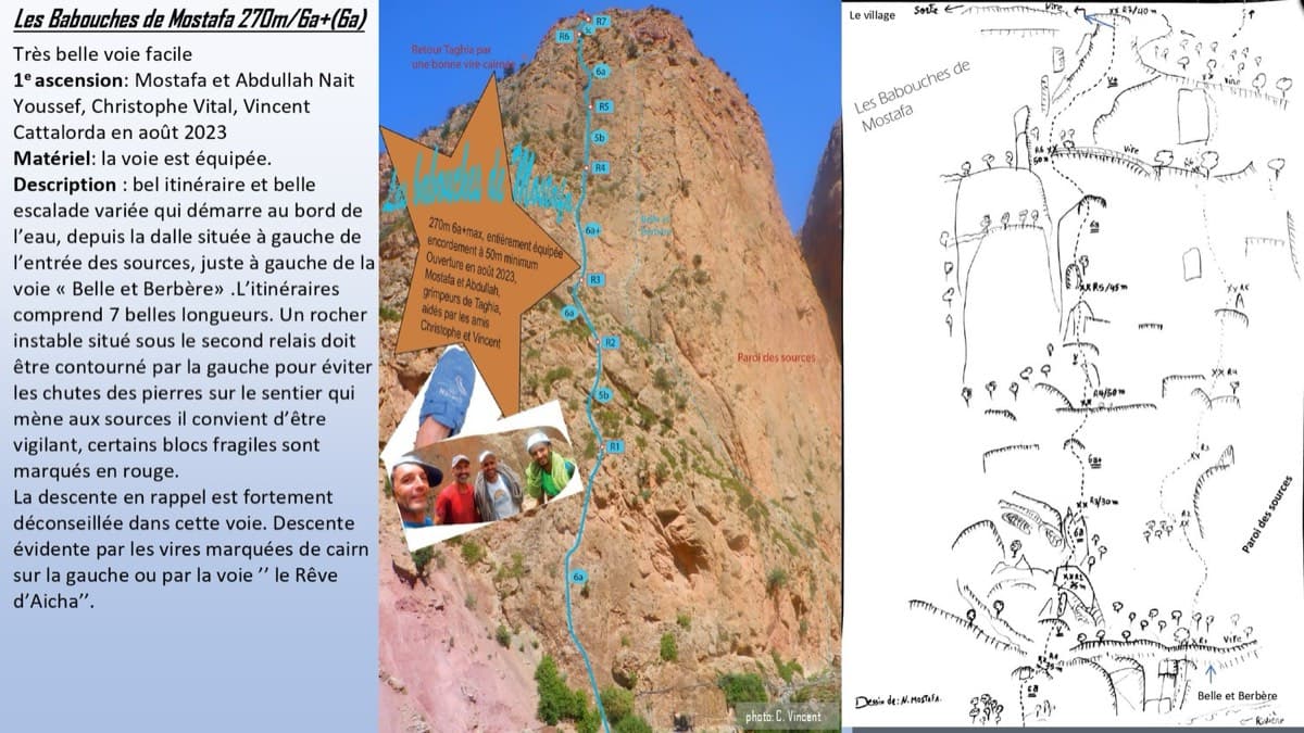
Topo of Les babouches de Mostafa on the Paroi des Sources, Taghia (photo with line and drawn topo)

Morocco · Taghia

Les babouches de Mostafa

The friendly way into Taghia, starting at the water's edge beside the springs. Seven varied pitches, well bolted by Taghia standards. Go left around the unstable rock below the second belay; fragile blocks are marked in red. In shade until midday.

6b7 pitches270 m

Committing

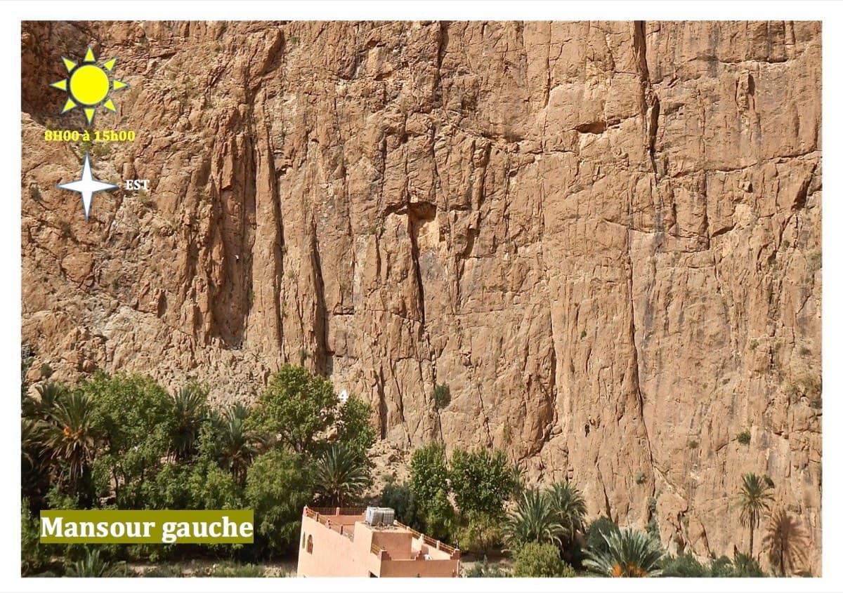
The Mansour Gauche sector, Todra Gorge

Morocco · Todra Gorge (Todgha)

Tiwira

A long, moderate line above the Mansour palm grove at the upstream end of the gorge. Mostly steady 5c with a 6a crack to start and a harder, very abrasive finish. Big views up the valley.

6b7 pitches300 m

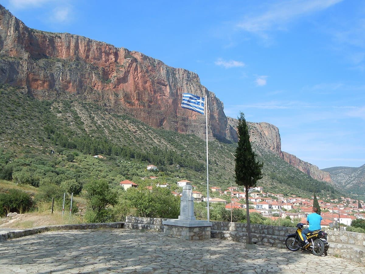
The Kokkinovrachos cliffs above Leonidio, seen from Agios Nektarios

Greece · Leonidio & Kyparissi

Mira

Steep climbing on good holds through grey and then orange rock, including a fine steep crack and a sustained bulge out of the big orange niche you can see from town. For the last pitch take the 6b middle exit or the 5c traverse into Mignonette. The direct 'dead wall' exit is 6c+, much harder than the rest of the route.

6b7 pitches200 m

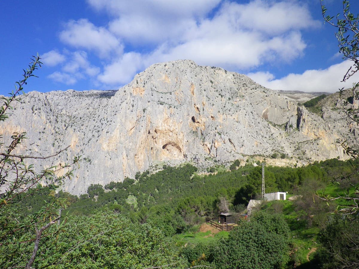
The Frontales cliffs above El Chorro

Spain · El Chorro

Bombay Sapphire

A good continuation above Nitti. Highlights are a short, thin 6b slab on P4 and a pumpy steep start to the final 6a+ pitch.

6b6 pitches138 m

Read the cautions

Compiled from published sources and last verified October 2026. Bolts, anchors and access change. Climbing is dangerous and you are responsible for your own decisions: check a current topo and read the disclaimer.