Multipitch Atlas

Arcu de Chelu

Monte Pulchiana (Tempio Pausania) · Sardinia · Italy

Bail with caveatsBolting confidence: high

A rising rightward traverse across the smooth granite dome of Monte Pulchiana, following a thin quartz vein. Pure friction climbing, well bolted but insecure if you are not used to granite slab. The rock is lichenous from pitch 3 and should be left alone after rain.

The granite dome of Monte Pulchiana from the approach pathPhoto: phill06 · CC BY-NC-ND 3.0

Photo

The granite dome of Monte Pulchiana from the approach pathPhoto: phill06 · CC BY-NC-ND 3.0
Hardest pitch
5c+
Pitches
6
Length
150 m
Approach
30 min
Aspect
S
South-facing
Rope
2×60 m

The route

Overview

Monte Pulchiana is a big granite dome in the Gallura hills of northern Sardinia, between Tempio Pausania and Aggius. Arcu de Chelu (also written Arcu de su Chelu) starts with Pocahontas and then traverses up and right across the whole slab along a line of quartz before climbing straight to the top. Six pitches, all between 5b and 5c+, with almost no positive holds: it is friction climbing throughout. Bolts are close, which every recent party appreciated. Several repeaters found it harder than the grades suggest if you are not at home on smooth granite.

The climbing

Pitch by pitch

Pitches of Arcu de Chelu
PitchGradeLengthBoltsNotes
P15c+40 m16 boltsStart up a flake with Pocahontas, then immediately traverse right along a thin line of quartz. The first bolts are very close together. Belay on two bolts.
P25c20 m9 boltsContinue diagonally up right to a belay on two bolts with an abseil ring.
P35c30 m12 boltsStill diagonally up right to a chained belay. Lichen starts here. A gulliver.it repeater who linked pitches 2 and 3 quotes 5a for this pitch but thought it harder.
P45c25 m–The last of the traverse, to a belay on two bolts. One party notes an awkward move at the end where you step down onto a foothold.
P55c+30 m–A little further right, then straight up a slab that lies back. One repeater found this the easiest pitch, about 5b.
P65b7 m–A few metres to the summit belay. Easily linked with pitch 5.

Getting there

Approach

To the parking

From the SS133 take the narrow road north signed for Monte Pulchiana and follow it for 1.7 km to a fountain with space for two cars. Gulliver.it files the route under Tempio Pausania. The sources read do not cover travel to the area.

On foot · about 30 min

30 minutes. From the fountain walk back east along the road for 200 m to a wooden gate on the left. Take the path from the gate, which is marked by many cairns: it climbs steeply north at first, then turns west towards the face. Where it heads north again, take an obvious cairned track south that passes under big boulders. The start is under an oak and is shared with Pocahontas.

Map of the walk-in

  • Crag

Loading map

The point marks the crag, not the exact start of the route.

Coordinates · crag

40.99204, 9.11360

Point from camptocamp waypoint 1470452

For your phone or watch

Download GPX

Contains the route point. Opens in most mapping apps and GPS watches.

Points are compiled from published sources, with the precision stated above. They were not surveyed on the ground: check them against a current topo.

Getting down

Descent

Three abseils down Pocahontas (camptocamp). The gulliver.it repeater mentions other equipped abseil lines on the dome that may be more direct, but had not checked them.

Retreat

Bailing off the route

Bail with caveats

Retreat works from the lower belays: a party in March 2026 escaped from belay 2 with a single abseil. Higher up the route has traversed a long way right, so abseiling straight down takes you onto other ground; belay 3 is chained and the normal descent is down Pocahontas from the top.

Retreat from
Belay 2 (two bolts with an abseil ring), one abseil to the ground (stated). Belay 3 is chained. Belays 1 and 4 are two bare bolts.
Point of no return
Not documented. After belay 3 it is probably simpler to finish, since two pitches remain and the descent line is equipped.
Carry
Two ropes. A maillon and cord if you retreat from belay 1 or 4.
Basis
Part stated, part inferredThe retreat from belay 2 and the belay hardware are stated in camptocamp reports; the comments about the upper pitches are inferred from the traversing line.

Partly inferred from the route facts

Safety

Hazards

  • Lichen on the upper pitches makes the slab slippery when damp. Friction is everything on this route.
  • The line traverses for four pitches, so a fall by the second is a swing and communication is awkward.
  • Belays 1 and 4 are two unlinked bolts.
  • The grades feel stiff to anyone not used to holdless granite: one experienced party thought it worth 6a throughout.

Sun and weather

Conditions

South facing granite slab at about 500 to 670 m. Lichenous from pitch 3 upwards: do not climb it after rain or in damp air. A party in March 2026 retreated from belay 2 in cold wind when drizzle threatened. No source states a season; the reports read are from March, April, May and August. Expect it to be very hot in summer sun.

Usual season · Mar to May, Oct to Nov

Sun on the wall · S-facing

Working out the sunlit hours for this month.

  • January: not yet worked out
  • February: not yet worked out
  • March (usual season): not yet worked out
  • April (usual season): not yet worked out
  • May (usual season): not yet worked out
  • June: not yet worked out
  • July: not yet worked out
  • August: not yet worked out
  • September: not yet worked out
  • October (usual season): not yet worked out
  • November (usual season): not yet worked out
  • December: not yet worked out

Sun on the wallDaylight, wall in shade● Usual season

Estimated from the wall's aspect only. Ignores surrounding terrain, gullies and the wall's exact shape. Clock times are local to the wall (Central European time), for the 15th of each month.

Monthly climate averages for Sardinia, 1991-2020
MeasureJanFebMar (usual season)Apr (usual season)May (usual season)JunJulAugSepOct (usual season)Nov (usual season)Dec
Mean daily high °C141417202530343428241815
Mean daily low °C77911151922221916129
Rain days 1 mm or more9910118433771010

● marks the usual climbing season. Averages for 1991-2020 at about 100 m. Area climate from Open-Meteo reanalysis. Temperatures are adjusted to the height of the crag; rain comes from a grid cell of about 10 to 25 km, and summer highs on sea cliffs can read a few degrees low. The wall and valley can differ. Data: Open-Meteo, CC BY 4.0.

What to carry

Gear

17 quickdraws for the first pitch if you clip everything (a party with 14 ran out). Two 60 m ropes for the abseils. Slings or cord to link the bolts at belays 1 and 4. Cams are not needed. Helmet.

Checklist

Quickdraws
17
Rope
2×60 m
Helmet
One each
Abseil device and prusik
The descent or the retreat involves abseiling
Maillons or spare karabiners
To leave behind if you retreat
Cord
Mentioned for retreat

Derived from the route data; check it against a current topo

From climbers

Reader reports

Reader reports are not being collected yet. Until they are, check a current topo and the local club or guidebook publisher for recent changes to Arcu de Chelu.

Worth knowing

Tips

  • Pocahontas (6a+) shares the start and the descent; a party in May 2026 climbed both in a day.
  • Allow about 2 hours for the route and abseils if you move well on slab; another party took 5 hours car to car.

Open questions

Where sources disagree

  • Name: Arcu de chelu on camptocamp, Arcu de su Chelu on gulliver.it.
  • Overall grade: 5c+ on camptocamp, 5c on gulliver.it. One camptocamp party felt the start was 6a.
  • Length: camptocamp's header gives 180 m, its pitch lengths add up to about 150 m and gulliver.it gives 160 m.
  • Pitch 3: 5c on camptocamp, 5a according to the gulliver.it repeater's notes.
  • Aspect: south on camptocamp, 'various' on gulliver.it; the line traverses a curved dome.

Provenance

Sources

Same area

More in Sardinia

All routes in Sardinia
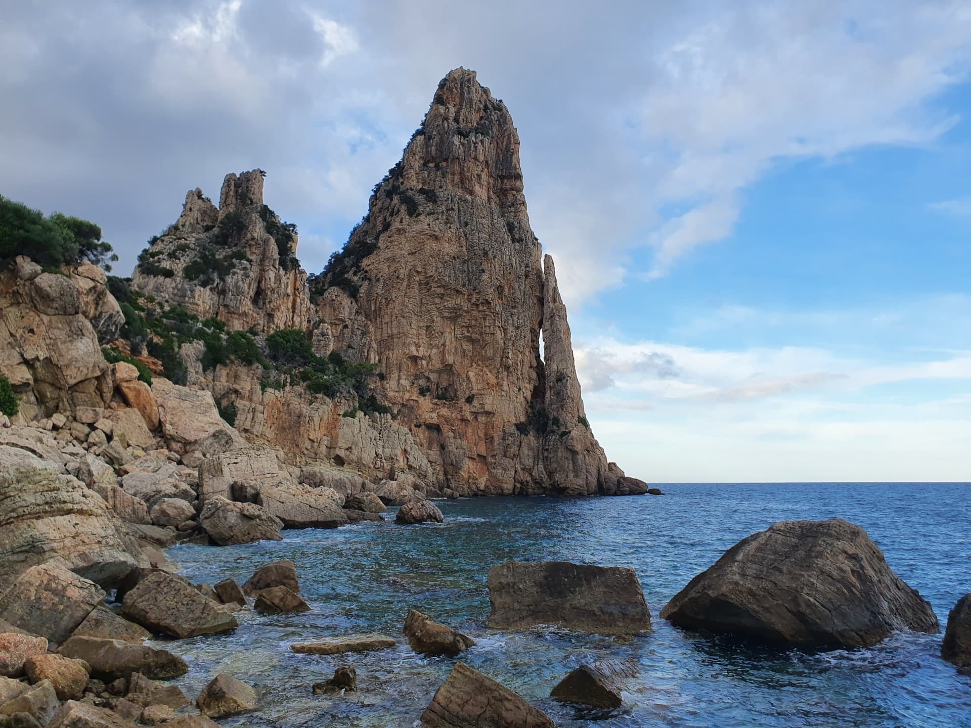
Pedra Longa, the 128 m limestone tower on the Baunei coast, seen from the shoreline rocks at its foot.

Italy · Sardinia

Marinaio di Foresta

An airy, mostly left-rising traverse that spirals round the Pedra Longa sea stack to its summit, on water-runnelled grey walls and pocketed white rock right above the sea. It has become one of the most popular routes in Sardinia, so expect queues.

6a+7 pitches190 m

Committing
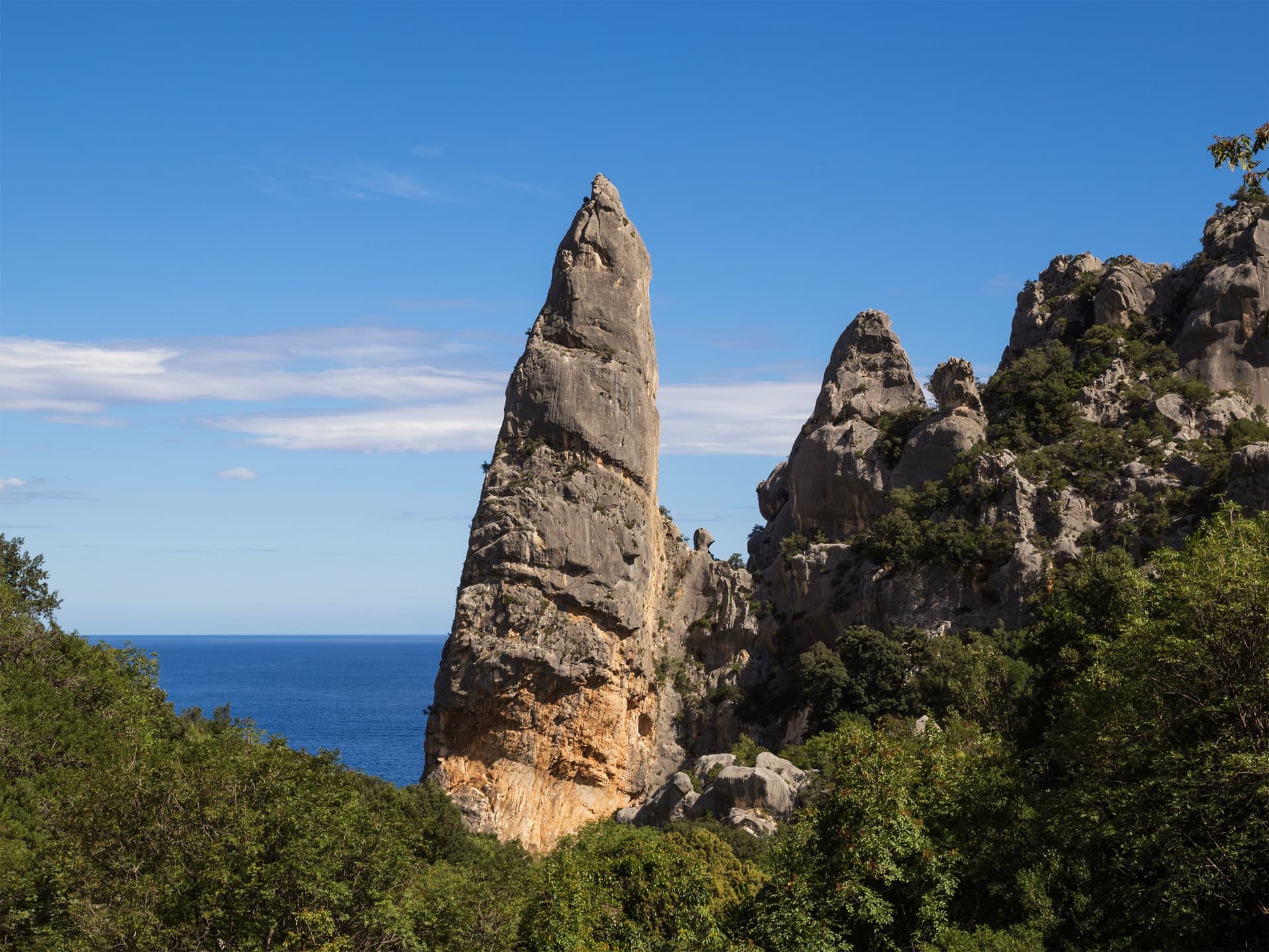
The Aguglia di Goloritzè, the 140 m limestone spire above Cala Goloritzè, seen from the approach path with the Gulf of Orosei behind.

Italy · Sardinia

Easy Gymnopédie

This is the easiest way to the top of Sardinia's iconic 140 m pinnacle above Cala Goloritzè. Short technical bulges and walls lead to a fine slab finish, and the harder overhangs can be aided. Gulliver splits it into 4 pitches; camptocamp gives 5. Check seasonal access rules for Cala Goloritzè before going.

6b5 pitches150 m

Read the cautions

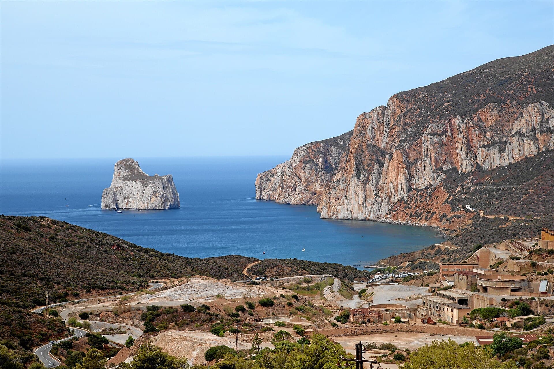
The orange limestone cliffs of Masua (right) above the old mine workings, with the Pan di Zucchero sea stack offshore.

Italy · Sardinia

L'Italia Liberata

A short but superb sea-cliff route on beautifully sculpted limestone in an incredible setting near Pan di Zucchero. Corners and an airy pillar lead to a steep, rounded 6a wall. Camptocamp rates it 'great'.

6a4 pitches120 m

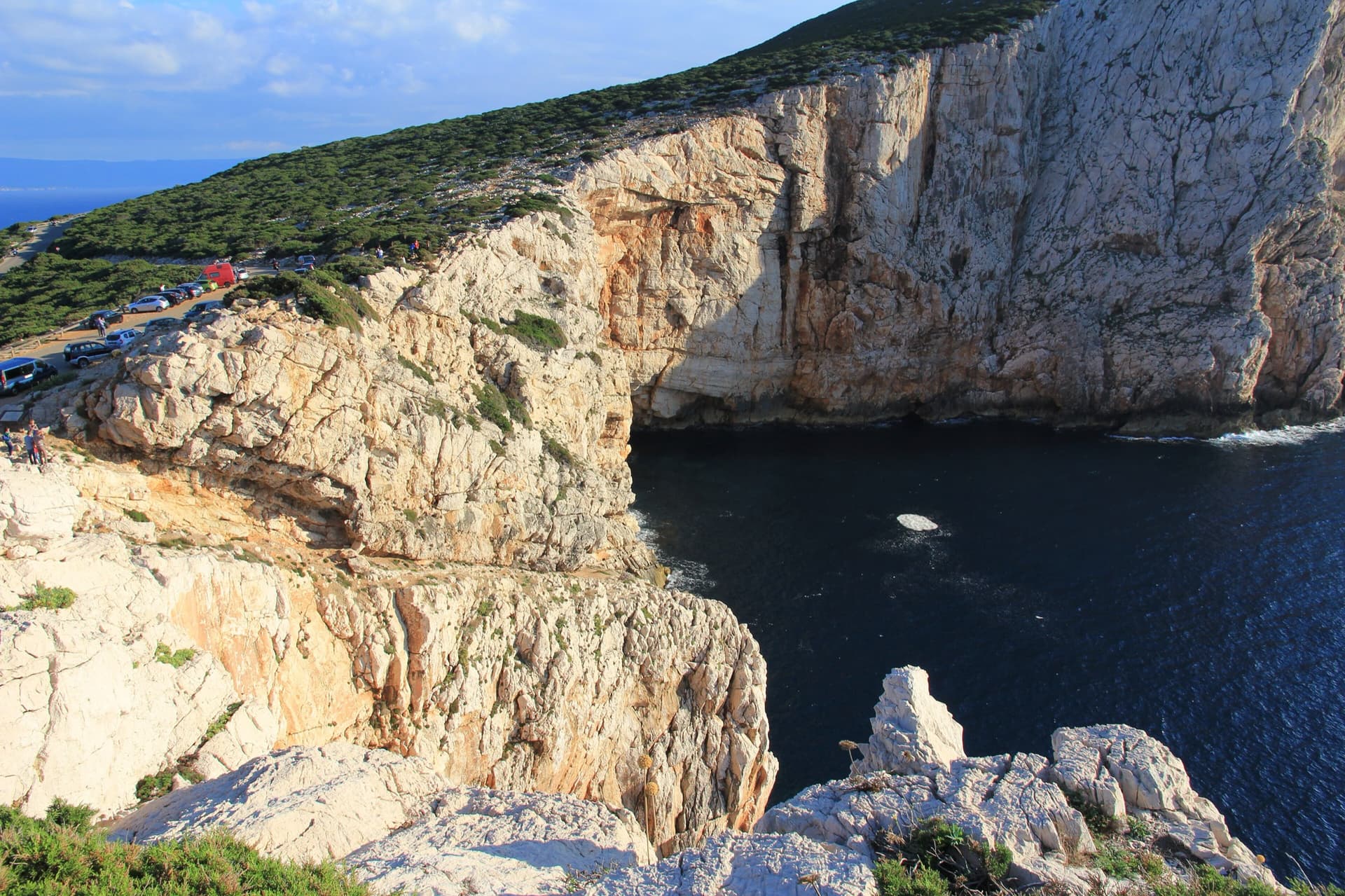
The limestone sea cliffs of Capo Caccia below the Foradada viewpoint car park, dropping straight into the sea.

Italy · Sardinia

Powaqqatsi

The easiest line on the Capo Caccia sea cliff: six pitches of 4b to 4c on pocketed, sharply sculpted limestone above the open sea. You abseil in from the top and climb out. The first two pitches are vegetated; the climbing proper starts on the pitch 3 slab.

4c6 pitches145 m

Read the cautionsCommitting

Around 5c+ · about 6 pitches

Similar elsewhere

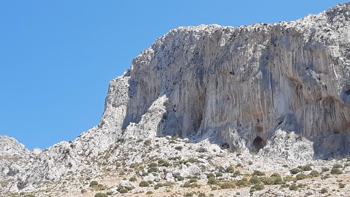
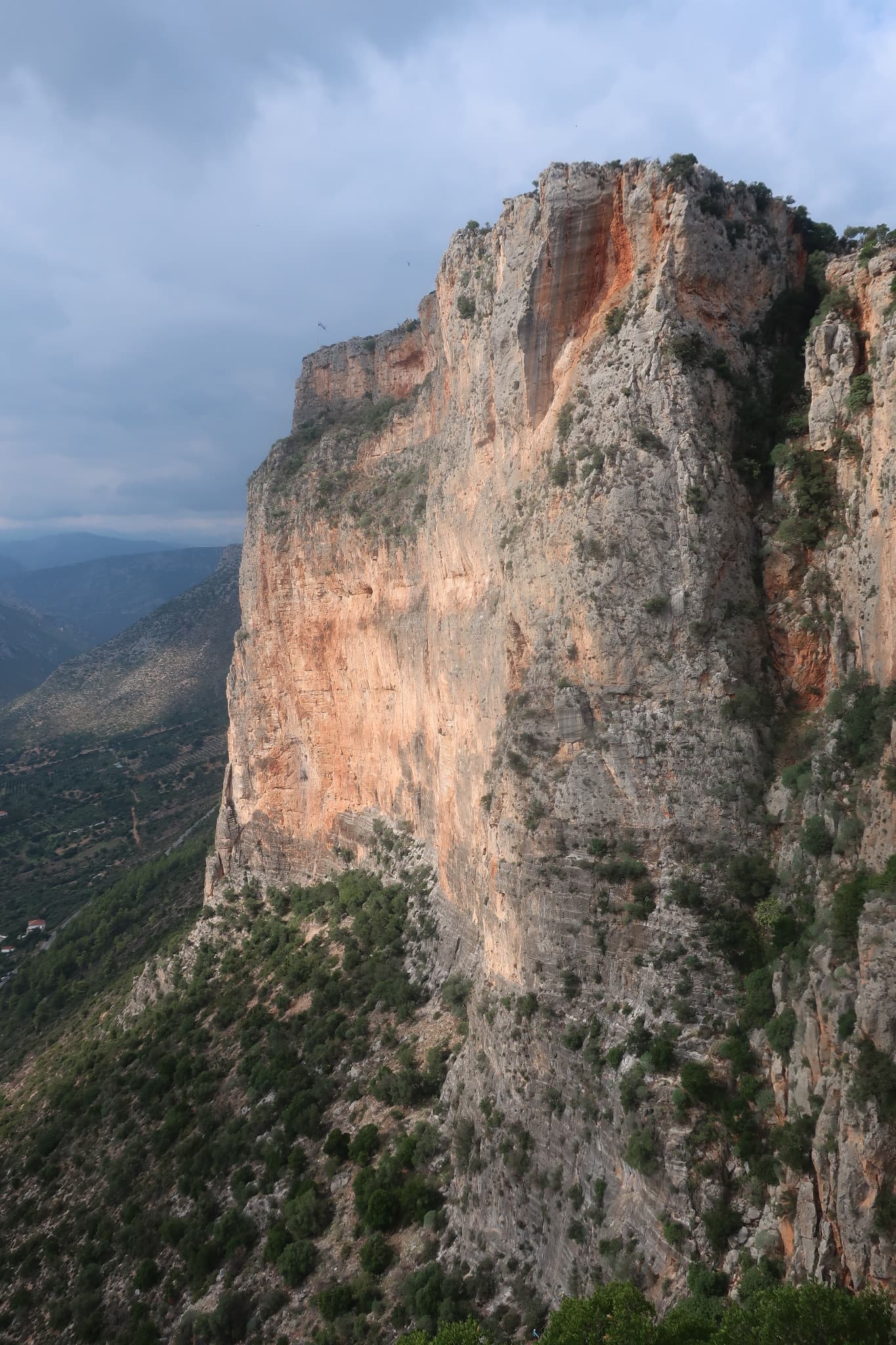
The cliff above the Grande Grotta: 3 Stripes starts on the second-to-last spur on the left and finishes up the shaded wall

Greece · Kalymnos & Telendos

3 Stripes

Kalymnos's best-known introduction to multi-pitch: a series of steps and slabs, always with plenty of holds, finishing on top of the Grande Grotta. The upper pitches feel very exposed. Real pitch lengths are shorter than the guidebook says (20–25 m).

5c+6 pitches175 m

Committing

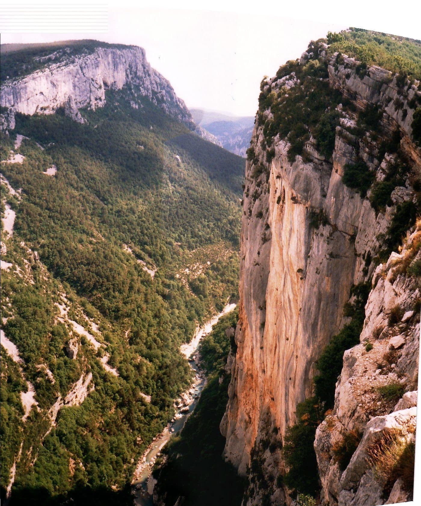
The Escalès cliff at the Éperon Sublime, seen from the Trescaire viewpoint; Les Dalles Grises is on the same cliff further along, below the Carelle viewpoint

France · Verdon

Les Dalles Grises

The classic introduction to the Escalès cliff, first climbed in 1970 and rebolted in 2023. You abseil in to the Jardin des Écureuils and climb out: two steep, polished pitches of cracks and small corners, an easy link, then the grey slabs of pockets and runnels that give the route its name. A lot of 5c for a route with this reputation as easy.

5c+6 pitches175 m

Committing

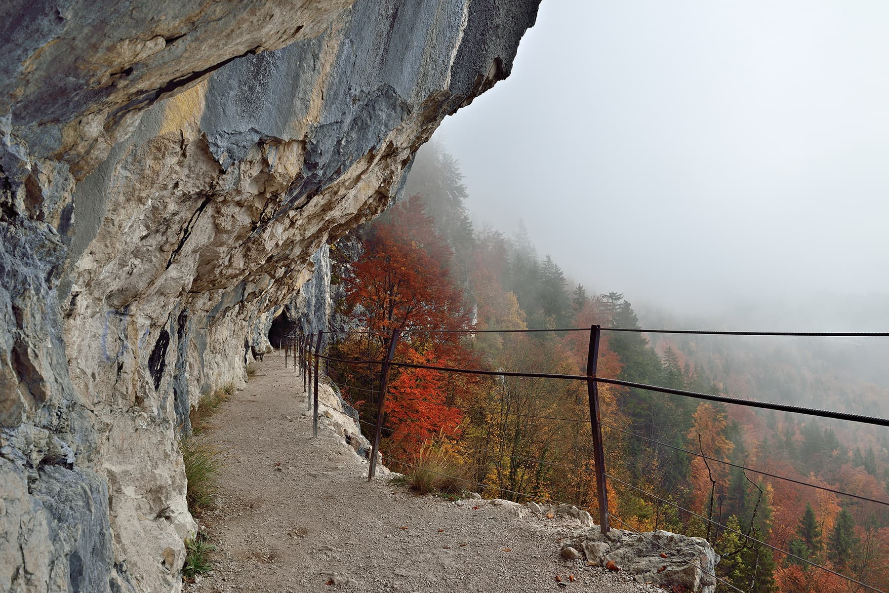
The path cut along the Ewige Wand cliff above Bad Goisern

Austria · Salzkammergut

Atemlos

The slightly harder neighbour of Reise durchs gelobte Land, just to its left, and climbed very often. Six short pitches with the crux, a traverse at UIAA 6-/6, on the second; the rest is 5 or easier. A few short passages are less attractive, among them an earthy ledge with a fixed rope.

5c+6 pitches145 m

The orange pillar at the right end of the main Kokkinovrachos wall, Leonidio.

Greece · Leonidio & Kyparissi

Mignonette

The easiest multi-pitch on Kokkinovrachos, following the easy-angled arête and pillar above Leonidio, with tufas, crimpy walls and a great view of the town. Rock is good apart from the scrappy P2–P3.

5c+7 pitches175 m

Compiled from published sources and last verified October 2026. Bolts, anchors and access change. Climbing is dangerous and you are responsible for your own decisions: check a current topo and read the disclaimer.