
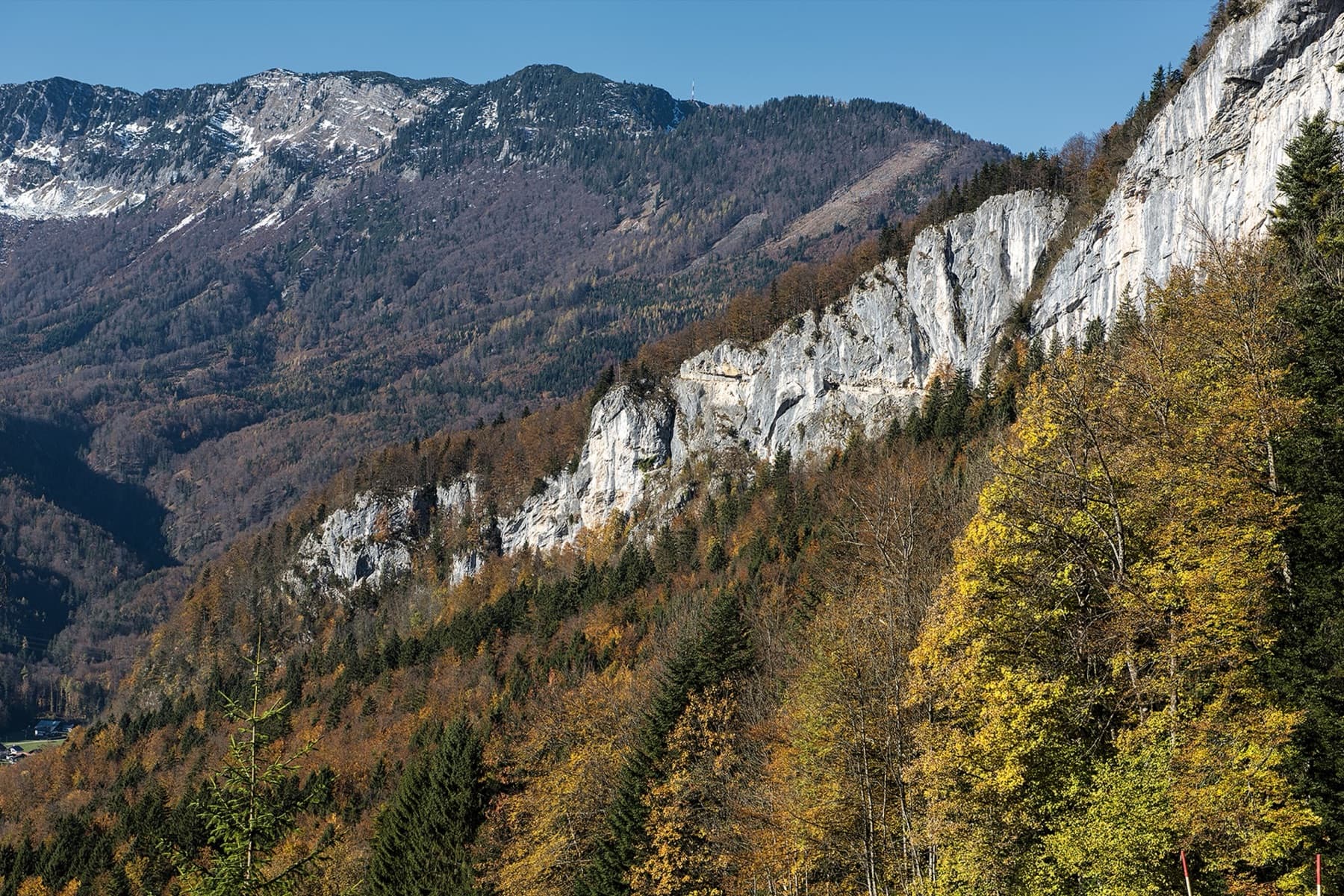
Austria · Salzkammergut
Wöitroas
A modern (2016–19) plaisir route that mixes nice climbing with scrambly and wooded sections. One pitch is UIAA 6/6+ and one is 6; the rest is easier. Quick in and out.
6a+9 pitches270 m
Ewige Wand (Predigstuhl), Bad Goisern · Salzkammergut · Austria
Bail not documentedBolting confidence: high
The slightly harder neighbour of Reise durchs gelobte Land, just to its left, and climbed very often. Six short pitches with the crux, a traverse at UIAA 6-/6, on the second; the rest is 5 or easier. A few short passages are less attractive, among them an earthy ledge with a fixed rope.
The route
Atemlos was added by Christian Stögner in 2014 immediately left of Reise durchs gelobte Land on the Ewige Wand above Bad Goisern. bergsteigen.com calls it a little harder and perhaps not quite as fine as its neighbour, but still worthwhile. The difficulty is concentrated in pitch 2, where a traverse holds a short passage of UIAA 6-/6; the obligatory grade is 5-. Pitch 3 crosses an earthy ledge on a fixed rope, and the upper pitches give pleasant climbing at about grade 5. A harder exit variant (7-) leaves from the last belay.
The climbing
| Pitch | Grade | Length | Notes |
|---|---|---|---|
| P1 | 3b | 20 m | UIAA 3+. An easy start from the small tree. |
| P2 | 5c+ | 30 m | UIAA 6 on theCrag, 6-/6 on bergsteigen.com: the crux, with a traverse. Climbers' photos call it the finest pitch. |
| P3 | 1 | 20 m | An earthy ledge about 20 m long, protected by a fixed rope. |
| P4 | 5a | 25 m | UIAA 5. Good climbing after the ledge. |
| P5 | 5a | 25 m | UIAA 5. |
| P6 | 4c | 25 m | UIAA 5- to the exit. From the belay below it a harder variant goes left: 20 m, 7- (6 obligatory), added by Thomas and Christian Stögner in 2017. |
Getting there
Bad Goisern is reached from Linz, Wels or Salzburg via Bad Ischl, from Styria via Bad Aussee and the Pötschen pass, or from the Salzburg side via Pass Gschütt and Gosau. At the 'Hofer' roundabout in Bad Goisern turn off towards Lasern, Wurmstein and Predigstuhl and follow the toll-free panorama road up to the hikers' car park at the former Berggasthof Predigstuhl (973 m).
From the car park take the hiking path signed Radsteig, Höhenweg and Predigstuhl for about 50 m up to a forest road and follow the road left, at first slightly downhill, to its end; the marked Radsteig branches off right before that. From the end of the road a path leads straight to the foot of the wall and the entry plaque of Reise durchs gelobte Land at 975 m. Allow 20 minutes. Atemlos starts about 30 m to the left and slightly lower, at a small tree, at about 970 m.
Loading map
The point marks the base of the route.
Parking
Hikers' car park at the former Berggasthof Predigstuhl (973 m), above Bad Goisern
Point from bergsteigen.com map marker 'Einstieg'
Contains the route point and parking. Opens in most mapping apps and GPS watches.
Points are compiled from published sources, with the precision stated above. They were not surveyed on the ground: check them against a current topo.
Coordinates: 47.65895, 13.62853 (route base) · Parking: 47.65410, 13.63940
Getting down
From the exit go right on the marked Höhenweg and climb for 8 to 10 minutes to the Radsteig. Descend the Radsteig to the right, with one short steep section protected by a wire cable, to the foot of the wall. From there keep left to return to the car park, or go right along the wall to the start. Allow 40 minutes.
Retreat
Bail not documented
Retreat is not documented; the route is finished and walked off. The belays are bolted and the pitches are 20 to 30 m, so abseiling on a 60 m rope looks feasible in terms of length, but the traverse on pitch 2 and the ledge on pitch 3 would complicate it.
Partly inferred from the route facts
Safety
Sun and weather
South facing with the start at about 970 m, and sunny all day; hot in summer. Photos on bergsteigen.com show ascents in late April and at the end of October. The earthy ledge on pitch 3 will be slippery after rain (inferred).
Sun on the wall · S-facing
Working out the sunlit hours for this month.
Sun on the wallDaylight, wall in shade● Usual season
Estimated from the wall's aspect only. Ignores surrounding terrain, gullies and the wall's exact shape. Clock times are local to the wall (Central European time), for the 15th of each month.
| Measure | Jan | Feb | Mar (usual season) | Apr (usual season) | May (usual season) | Jun (usual season) | Jul | Aug | Sep (usual season) | Oct (usual season) | Nov (usual season) | Dec |
|---|---|---|---|---|---|---|---|---|---|---|---|---|
| Mean daily high °C | 0 | 2 | 5 | 10 | 15 | 18 | 20 | 20 | 16 | 12 | 6 | 1 |
| Mean daily low °C | −8 | −7 | −4 | −1 | 4 | 8 | 10 | 10 | 7 | 3 | −2 | −7 |
| Rain days 1 mm or more | 14 | 14 | 17 | 16 | 21 | 21 | 20 | 18 | 16 | 14 | 13 | 15 |
● marks the usual climbing season. Averages for 1991-2020 at about 1004 m. Area climate from Open-Meteo reanalysis. Temperatures are adjusted to the height of the crag; rain comes from a grid cell of about 10 to 25 km, and summer highs on sea cliffs can read a few degrees low. The wall and valley can differ. Data: Open-Meteo, CC BY 4.0.
What to carry
A 60 m rope, 15 quickdraws and a helmet. No nuts or cams are mentioned.
Derived from the route data; check it against a current topo
From climbers
Reader reports are not being collected yet. Until they are, check a current topo and the local club or guidebook publisher for recent changes to Atemlos.
Worth knowing
Open questions
Provenance
Same area
Austria · Salzkammergut
A modern (2016–19) plaisir route that mixes nice climbing with scrambly and wooded sections. One pitch is UIAA 6/6+ and one is 6; the rest is easier. Quick in and out.
6a+9 pitches270 m
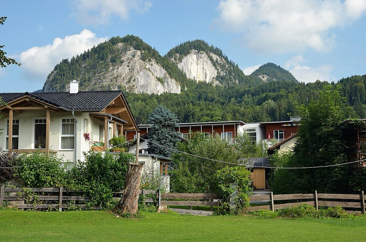
Austria · Salzkammergut
Five easy pitches up an edge above the Wolfgangsee, mostly UIAA 4 with a few moves of 5-. A slab low down and an exposed step across a cleft on pitch 4 are the memorable bits. A popular first multipitch.
4c5 pitches150 m
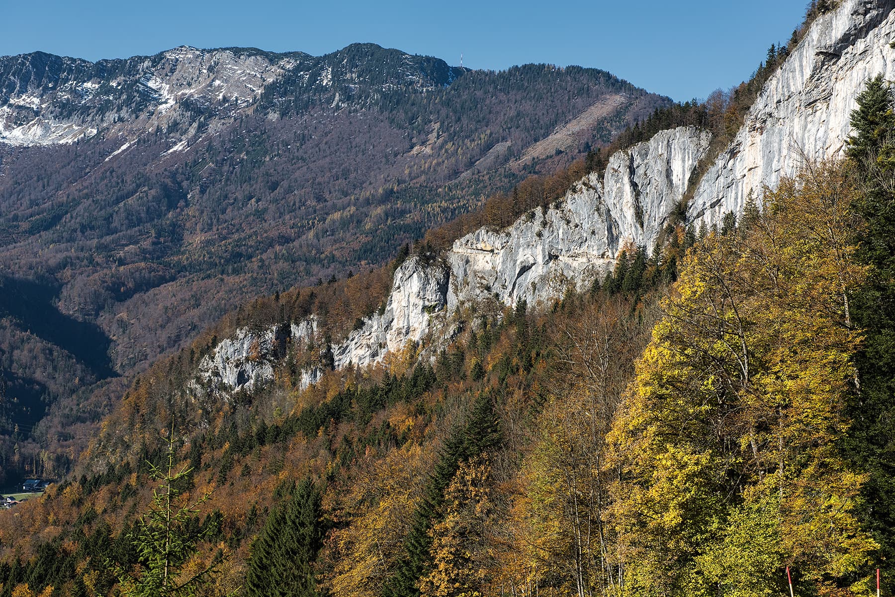
Austria · Salzkammergut
One of the most popular easy multipitch routes on the Ewige Wand. Varied climbing on grippy rock at UIAA 4 to 4+, with a long exposed traverse and one short move of 5-. The Hallstätter See and the Dachstein fill the view.
4c5 pitches150 m
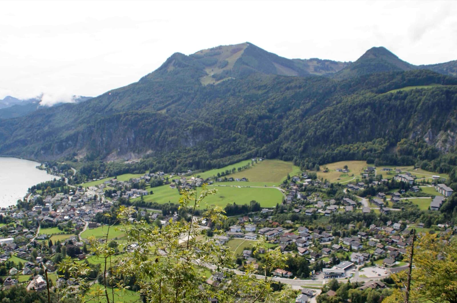
Austria · Salzkammergut
A beginner-friendly line that links several rock pillars on the west side of the Plombergstein, dug out of the vegetation with a lot of work. bergsteigen.com counts one move of UIAA 5+ and theCrag grades two short pitches 5+; the rest is around 4 to 5-, with a walking pitch between the pillars and a fine pillar in the upper part.
5+9 pitches240 m
Around 5c+ · about 6 pitches
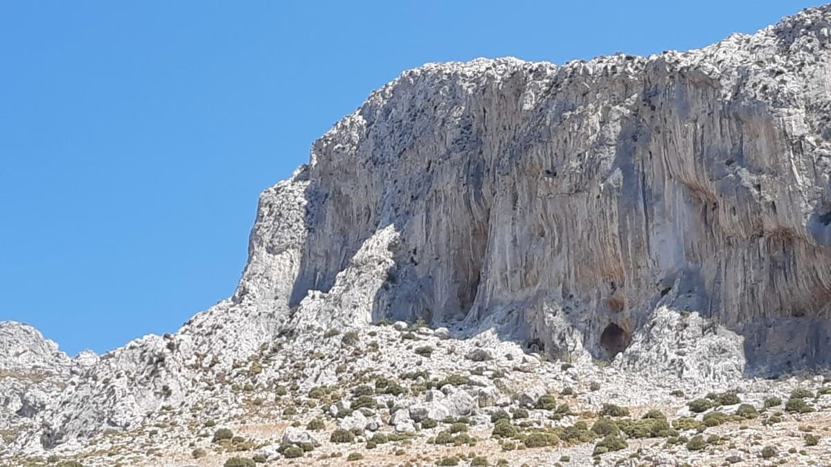
Greece · Kalymnos & Telendos
Kalymnos's best-known introduction to multi-pitch: a series of steps and slabs, always with plenty of holds, finishing on top of the Grande Grotta. The upper pitches feel very exposed. Real pitch lengths are shorter than the guidebook says (20–25 m).
5c+6 pitches175 m
Committing
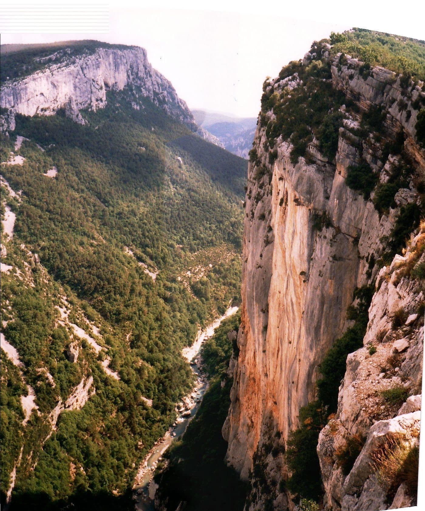
France · Verdon
The classic introduction to the Escalès cliff, first climbed in 1970 and rebolted in 2023. You abseil in to the Jardin des Écureuils and climb out: two steep, polished pitches of cracks and small corners, an easy link, then the grey slabs of pockets and runnels that give the route its name. A lot of 5c for a route with this reputation as easy.
5c+6 pitches175 m
Committing
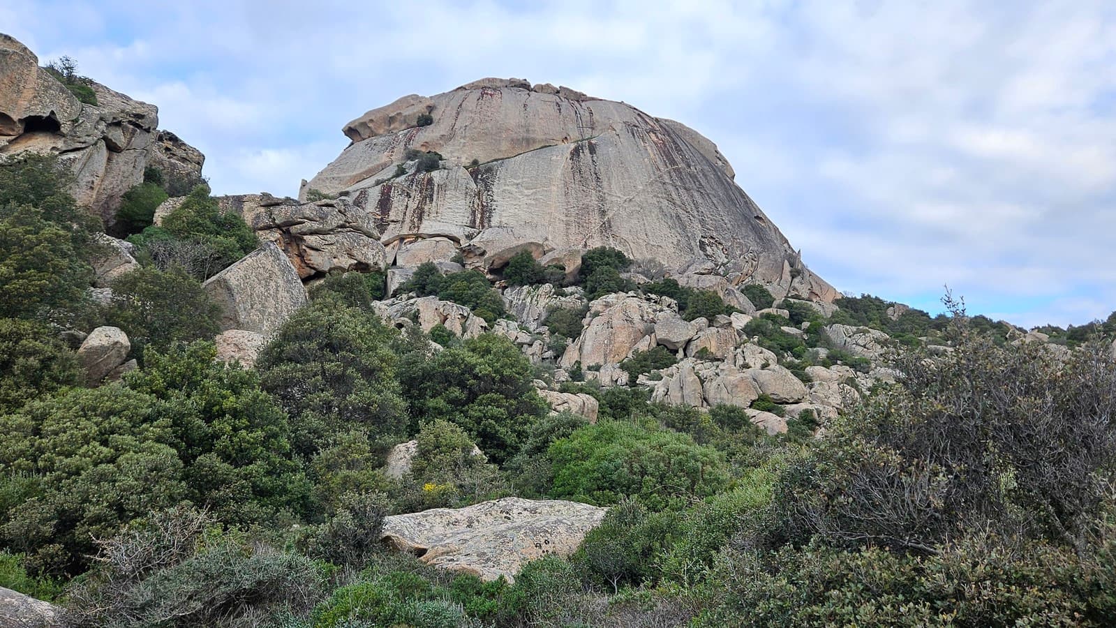
Italy · Sardinia
A rising rightward traverse across the smooth granite dome of Monte Pulchiana, following a thin quartz vein. Pure friction climbing, well bolted but insecure if you are not used to granite slab. The rock is lichenous from pitch 3 and should be left alone after rain.
5c+6 pitches150 m
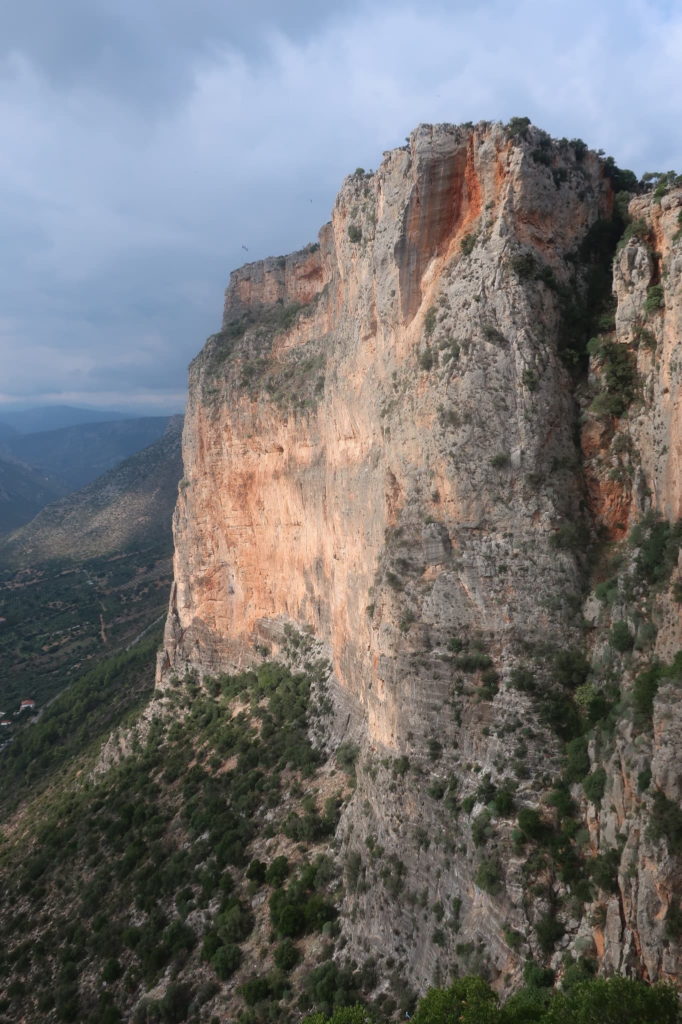
Greece · Leonidio & Kyparissi
The easiest multi-pitch on Kokkinovrachos, following the easy-angled arête and pillar above Leonidio, with tufas, crimpy walls and a great view of the town. Rock is good apart from the scrappy P2–P3.
5c+7 pitches175 m
Compiled from published sources and last verified October 2026. Bolts, anchors and access change. Climbing is dangerous and you are responsible for your own decisions: check a current topo and read the disclaimer.