
Austria · Salzkammergut
Wöitroas
A modern (2016–19) plaisir route that mixes nice climbing with scrambly and wooded sections. One pitch is UIAA 6/6+ and one is 6; the rest is easier. Quick in and out.
6a+9 pitches270 m
Plombergstein west side, St. Gilgen · Salzkammergut · Austria
Bail not documentedBolting confidence: medium
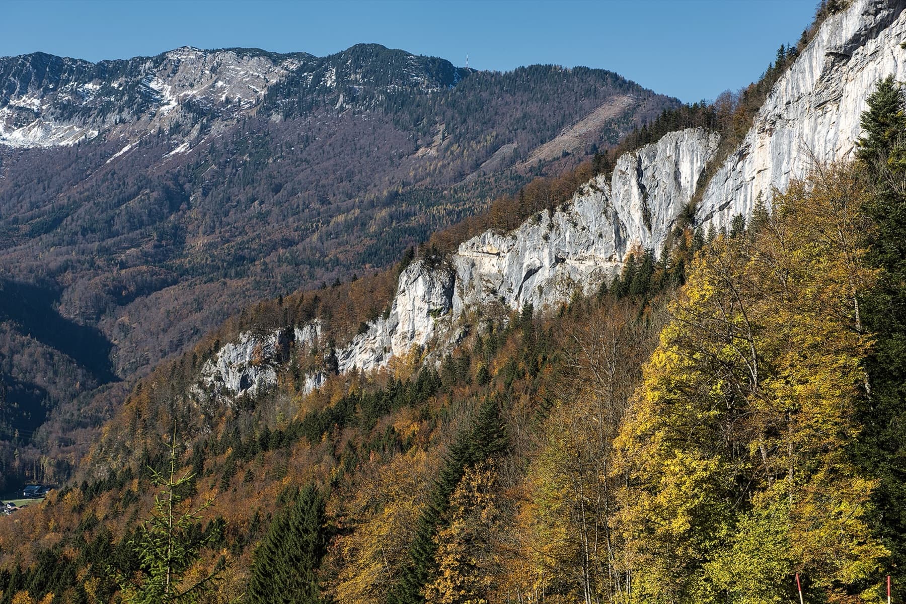
A beginner-friendly line that links several rock pillars on the west side of the Plombergstein, dug out of the vegetation with a lot of work. bergsteigen.com counts one move of UIAA 5+ and theCrag grades two short pitches 5+; the rest is around 4 to 5-, with a walking pitch between the pillars and a fine pillar in the upper part.
The route
The Jakobsweg, named after the pilgrim route, strings together a series of small pillars on the west side of the Plombergstein above St. Gilgen. It is 240 m long in nine short pitches, most of them UIAA 4 to 5- with short passages of 5+. The bolting is close, a few rungs help at steps, and signs lead you across the easy ground between the rock sections. bergsteigen.com recommends it above all to beginners. The descent on foot is marked but has one exposed, cabled step that is delicate when wet.
The climbing
| Pitch | Grade | Length | Notes |
|---|---|---|---|
| P1 | 5+ | 18 m | UIAA 5+. A short pitch with one of the two hardest moves. |
| P2 | 4b | 30 m | UIAA 4. |
| P3 | 1 | 50 m | Walking and easy scrambling (UIAA 1): on the ledge you go right, following the signs. |
| P4 | 5a | 25 m | UIAA 5. |
| P5 | 5+ | 25 m | UIAA 5+. |
| P6 | 4b | 18 m | UIAA 4. |
| P7 | 4c | 30 m | UIAA 5-. bergsteigen.com shows a fine pillar in the upper part of the wall. |
| P8 | 3a | 20 m | UIAA 3. |
| P9 | 4b | 25 m | UIAA 4. The route ends in the forest. |
Getting there
Leave the A1 at Mondsee (from Linz) or Thalgau (from Salzburg) and drive towards Bad Ischl to St. Gilgen on the Wolfgangsee. The Plombergstein is easy to see from the village. Park at the car park where the access road to the Plombergstein begins, opposite Gasthof Mühlradl (630 m). Use only this car park and do not drive up the tarmac road to the rocks, which causes trouble with residents. Buses run to St. Gilgen.
From Gasthof Mühlradl follow the tarmac road towards the rocks for about 500 m and turn right at a signpost (path 804). Continue to the stream, where the Alpine Club children's and beginners' crag is. Do not go down to the stream: stay on the forest road and follow it north for about 400 m more. Two tracks then branch off right. Take the left one, which leads into a shallow gully, and in the gully go left (cairns) to some boulders. There go up right to the start of Irma la Douce (plaque) and traverse horizontally right to the plaque of the Jakobsweg. Allow 15 minutes.
Loading map
The point marks the base of the route.
Parking
Car park opposite Gasthof Mühlradl
Point from bergsteigen.com map marker (route base)
Contains the route point and parking. Opens in most mapping apps and GPS watches.
Points are compiled from published sources, with the precision stated above. They were not surveyed on the ground: check them against a current topo.
Coordinates: 47.77992, 13.35887 (route base) · Parking: 47.77290, 13.35380
Getting down
The descent is marked with red dots. From the exit go right and follow the crest south on faint tracks, then climb down into the notch to the hiking path; one steep step there is protected by a steel cable and is a little exposed. On the rocky crest follow the dots, not the red poles, and keep rather right at first. Follow the hiking path down to the right to the Alpine Club crag and return to the car park. Allow 30 minutes.
Retreat
Bail not documented
Retreat is not documented. The route is climbed on a single 50 m rope and walked off. The pitches are short and the belays bolted, and the walking pitch 3 crosses a ledge, but no source says whether you can leave the route there or how the belays are rigged.
Partly inferred from the route facts
Safety
Sun and weather
West and south-west facing, between the car park at 630 m and the 805 m summit. The route is not recommended when wet; after heavy rain wait for a dry day. No season is published; April to October is an estimate from the altitude.
Sun on the wall · W-facing
Working out the sunlit hours for this month.
Sun on the wallDaylight, wall in shade● Usual season
Estimated from the wall's aspect only. Ignores surrounding terrain, gullies and the wall's exact shape. Clock times are local to the wall (Central European time), for the 15th of each month.
| Measure | Jan | Feb | Mar | Apr (usual season) | May (usual season) | Jun (usual season) | Jul (usual season) | Aug (usual season) | Sep (usual season) | Oct (usual season) | Nov | Dec |
|---|---|---|---|---|---|---|---|---|---|---|---|---|
| Mean daily high °C | 0 | 2 | 5 | 10 | 15 | 18 | 20 | 20 | 16 | 12 | 6 | 1 |
| Mean daily low °C | −8 | −7 | −4 | −1 | 4 | 8 | 10 | 10 | 7 | 3 | −2 | −7 |
| Rain days 1 mm or more | 14 | 14 | 17 | 16 | 21 | 21 | 20 | 18 | 16 | 14 | 13 | 15 |
● marks the usual climbing season. Averages for 1991-2020 at about 1004 m. Area climate from Open-Meteo reanalysis. Temperatures are adjusted to the height of the crag; rain comes from a grid cell of about 10 to 25 km, and summer highs on sea cliffs can read a few degrees low. The wall and valley can differ. Data: Open-Meteo, CC BY 4.0.
What to carry
A single 50 m rope, 13 quickdraws and a helmet. No nuts or cams.
Derived from the route data; check it against a current topo
From climbers
Reader reports are not being collected yet. Until they are, check a current topo and the local club or guidebook publisher for recent changes to Jakobsweg.
Worth knowing
Open questions
Provenance
Same area
Austria · Salzkammergut
A modern (2016–19) plaisir route that mixes nice climbing with scrambly and wooded sections. One pitch is UIAA 6/6+ and one is 6; the rest is easier. Quick in and out.
6a+9 pitches270 m
Austria · Salzkammergut
Five easy pitches up an edge above the Wolfgangsee, mostly UIAA 4 with a few moves of 5-. A slab low down and an exposed step across a cleft on pitch 4 are the memorable bits. A popular first multipitch.
4c5 pitches150 m
Austria · Salzkammergut
One of the most popular easy multipitch routes on the Ewige Wand. Varied climbing on grippy rock at UIAA 4 to 4+, with a long exposed traverse and one short move of 5-. The Hallstätter See and the Dachstein fill the view.
4c5 pitches150 m
Austria · Salzkammergut
The slightly harder neighbour of Reise durchs gelobte Land, just to its left, and climbed very often. Six short pitches with the crux, a traverse at UIAA 6-/6, on the second; the rest is 5 or easier. A few short passages are less attractive, among them an earthy ledge with a fixed rope.
5c+6 pitches145 m
Around 5+ · about 9 pitches
Spain · Vega Baja (Orihuela & Callosa)
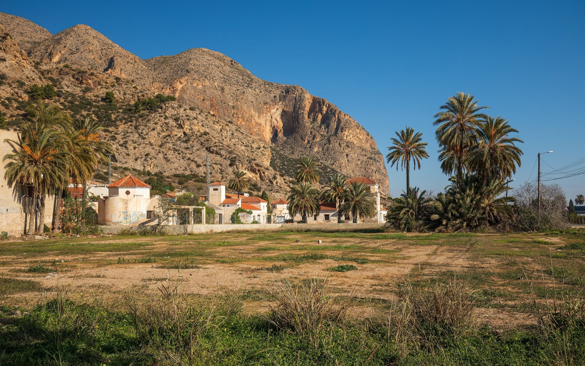
A long, steady V+ spur to the summit of the Sierra de Callosa on exceptional rock. Many terraces allow a safe retreat, which makes it good mileage for building multipitch experience. Check local seasonal climbing restrictions in the Sierra de Callosa.
5+9 pitches500 m
Read the cautions
Spain · El Chorro
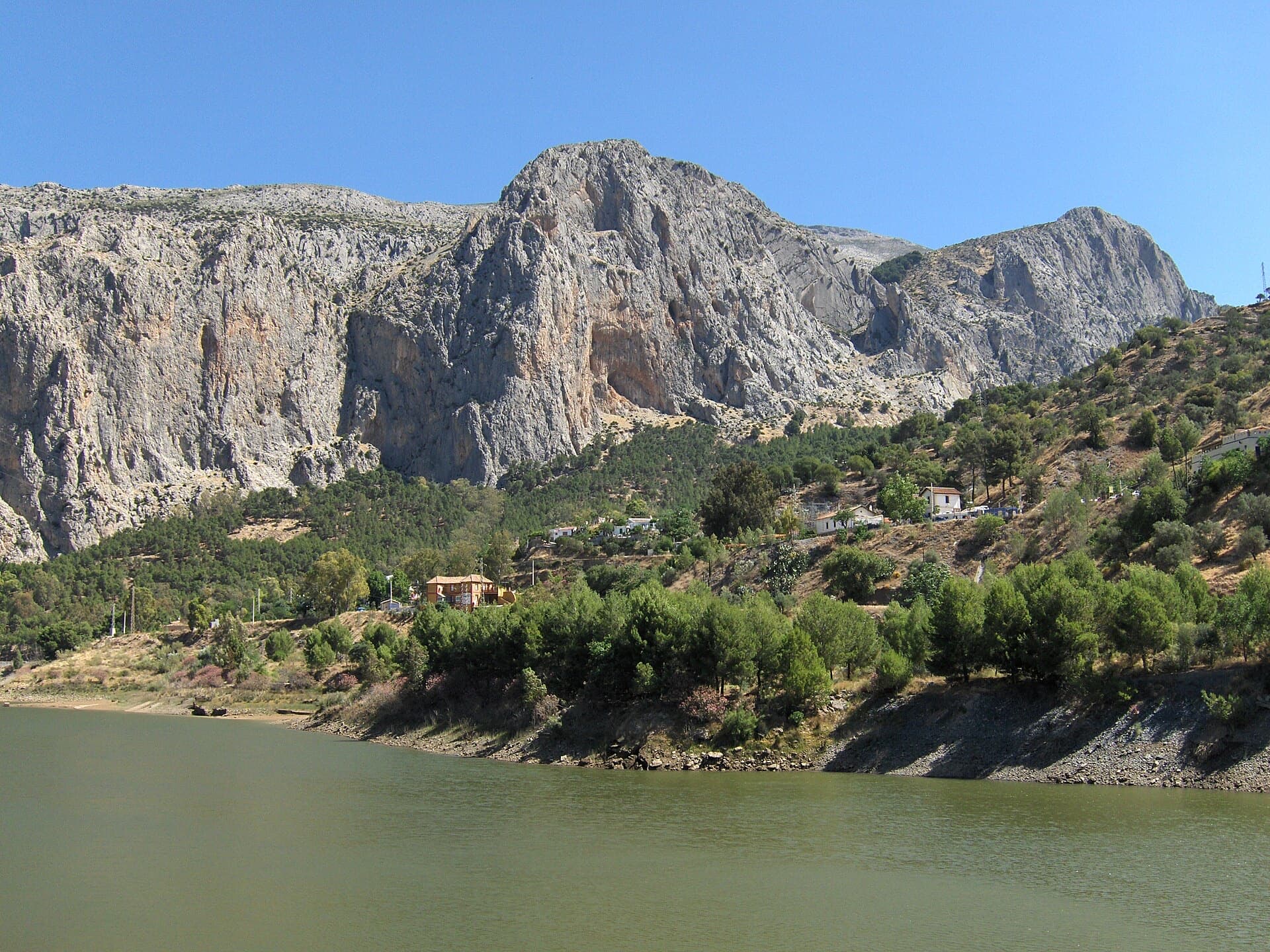
An airy, exposed adventure on clean, solid rock: the best long easy route on the Frontales and an ideal first big multipitch.
5+8 pitches251 m
Germany · Berchtesgaden & Bad Reichenhall
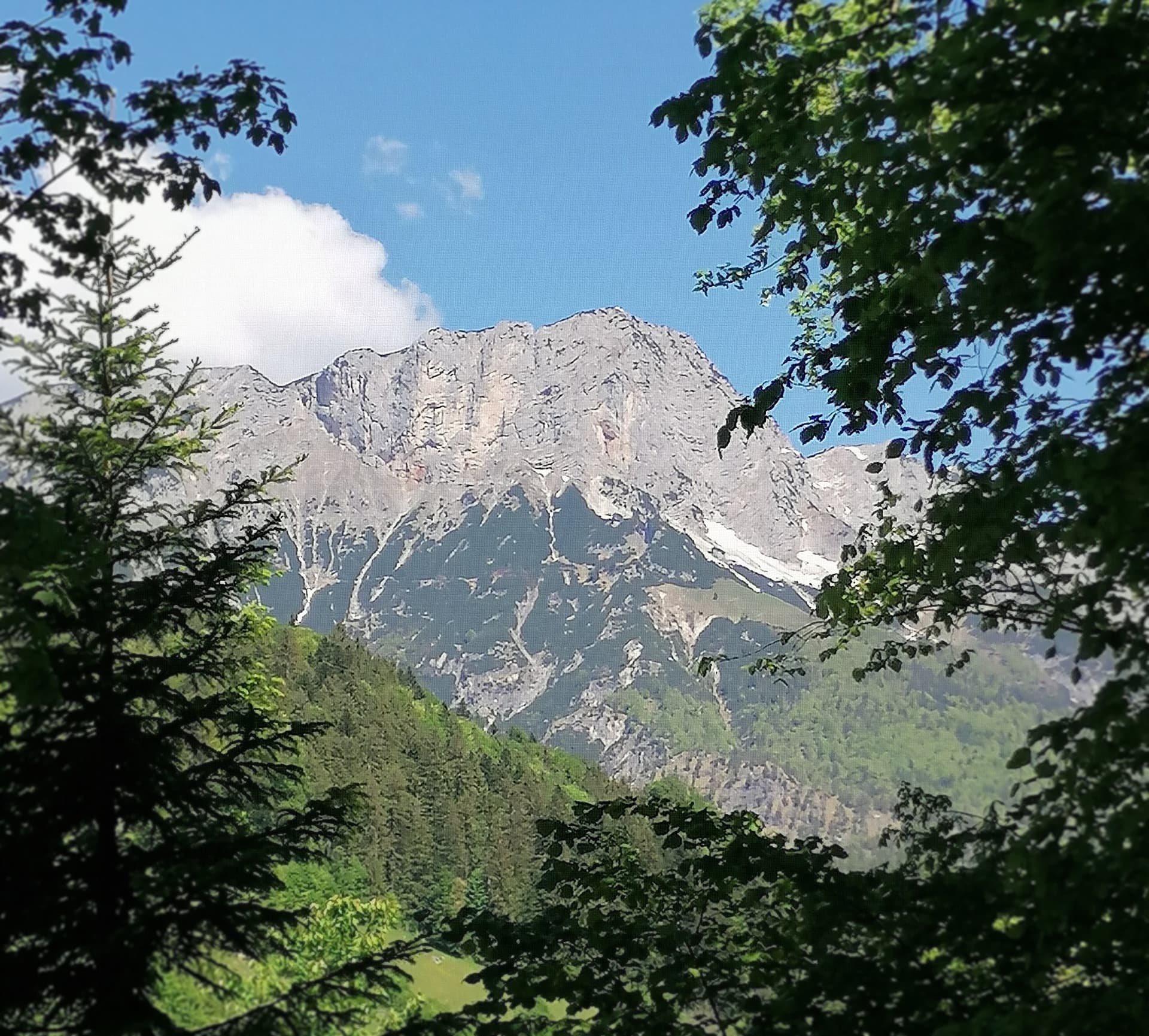
Eight pitches of easy climbing on rough, water-eaten limestone in the lower wall right of the Hochthron south face, mostly UIAA IV with one short V+ move near the top. The line wanders a little, with a walking traverse in the middle and a memorable water runnel on pitch 5. It ends on the Grubenpfad ledge well below the summit.
5+8 pitches200 m
France · Ariège Pyrenees
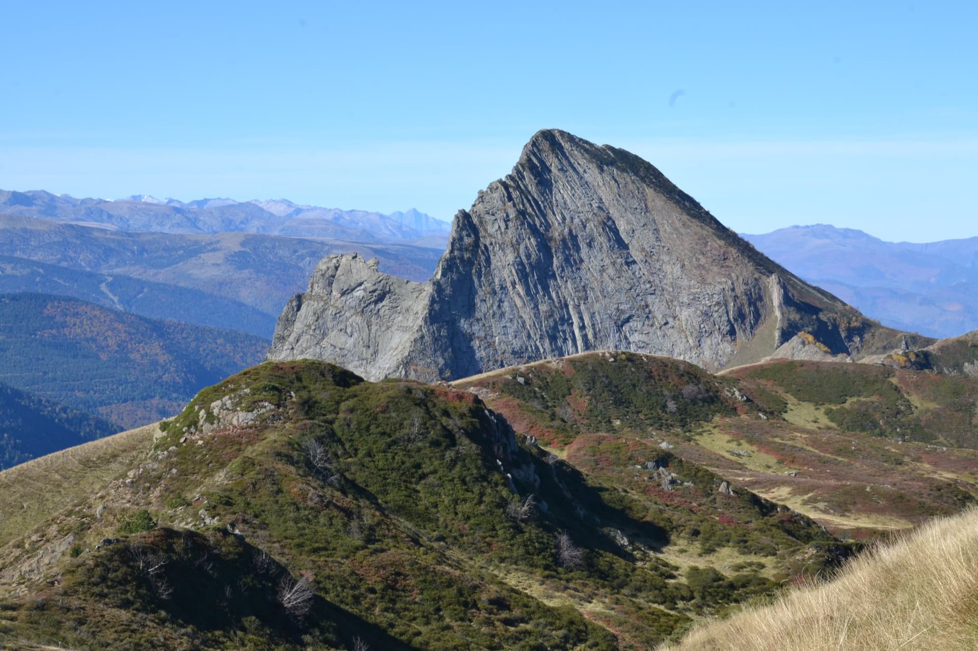
Consistent, low-angled slab climbing on compact granite, with 10 pitches of 5a–5b+ on the big east face. Above all it is a long, sunny-morning moderate.
5b+10 pitches400 m
Read the cautions
Compiled from published sources and last verified October 2026. Bolts, anchors and access change. Climbing is dangerous and you are responsible for your own decisions: check a current topo and read the disclaimer.