Multipitch Atlas

Armata Calanca

La Grande Candelle (socle and south face) · Calanques · France

Bail with caveatsBolting confidence: high

The big modern classic of the Calanques: eleven pitches in three tiers from the foot of the Candelle plinth to the summit, sustained in the sixth grade on grey water-pocketed limestone above the sea. Two walking ledges split the day and offer escapes. The eighth pitch, a 6b+ diagonal along a flake, is the one people remember.

The Grande Candelle and its plinth from the sea; Armata Calanca climbs the plinth and then the south face to the summitPhoto: Michmuch06 · CC BY-SA 3.0

Photo

The Grande Candelle and its plinth from the sea; Armata Calanca climbs the plinth and then the south face to the summitPhoto: Michmuch06 · CC BY-SA 3.0
Hardest pitch
6c
Pitches
11
Length
320 m
Approach
60 min
Aspect
S
South-facing
Rope
1×50 m
a second rope gives a margin for retreat

The route

Overview

Armata Calanca links three separate walls: three pitches up the Socle (plinth) of the Candelle, three on the central bastion and five on the summit wall of the Grande Candelle. Each part is separated from the next by a five-minute walk along a ledge. The climbing is continuous in the sixth grade for 300 m on excellent rock, with a physical 6c near the top, and you need to be comfortable at 6b to 6b+. It was opened in 2001 by Pierre Clarac and Stéphane Wyns and is fully equipped with glue-ins. It is one of the most travelled long routes in the massif, and the first two pitches are starting to polish.

The climbing

Pitch by pitch

Pitches of Armata Calanca
PitchGradeNotes
P16a+Steep, fairly physical and now polished, a rude start when cold. Belay on the right. A 2026 party estimates it at nearly 50 m.
P26a+A vertical grey slab on water-drops, technical on the feet and sustained.
P35c+Trend a little right to a nicely sculpted grey wall. The easiest pitch. It ends on the first ledge: follow the black '++' marks right for 5 min, past an airy step at a notch and round a pillar to the middle of a small cirque.
P46aA dark slab where the bolts are hard to see, then a vertical crack, technical on the feet. The start is not marked with an 'A' and is easy to miss.
P56aA cracked corner, then an equally vertical wall that needs careful positioning.
P66a+A slab slanting left to a small overhang with a hard move. Camptocamp singles this pitch out for spaced bolts. It ends on the second ledge: follow the blue climber pictograms for 5 min to the foot of the summit wall, starting in a corner right of a red overhang.
P76bAn easy corner with a move at the top, then a step left onto the slab.
P86b+Leftwards along a crack and corner, then diagonally up a fine yellowish flake. Two bolts sit too far right to clip easily, and shorter climbers find the clip at the hard move a stretch. The best pitch of the route. Belay on a small terrace.
P96bA grey slab, a technical crack and a vertical wall on water-drops.
P106cA delicate start, then a wide inverted crack through a bulge, very physical, with a finish on good water-drops. A 2026 party advises starting directly below the bolt and not stepping left as camptocamp says. Belay on a small terrace.
P114cA short pitch to the top with three bolts, the first hard to see. It can be linked with pitch 10 using 13 or 14 quickdraws and a 60 m rope.

Getting there

Approach

To the parking

From Marseille head for Mazargues and then Cassis on the D559; at the second roundabout leaving the city go straight on for Luminy and park at the entrance to the university campus (do not leave anything in the car: thefts are frequent). Bus B21 runs from Castellane via the Rond-Point du Prado metro to the terminus 'Luminy Parc des Calanques'. There is drinking water near the barrier at the start of the track.

On foot · about 60 min

About 1 hour to 1 hour 15, mostly downhill or level. From the car park take the avenue through the trees and then the forest track towards the Calanques. At the junctions near the Col de Sugiton keep straight on. The track descends past the long crag of the Virage sector to a barrier where it ends. Continue down the obvious path towards the Candelle plinth (red marks) and follow the foot of the plinth past the distinctive Aiguille Tordue to some huge boulders. The start is about 50 m further on, at the far end of an earthy terrace after a pine, with an 'A' engraved on the rock. It is the last route on the right before the Arête de Cassis.

Finding the route · 2 photos

Approach photo

Map of the walk-in

  • Route base
  • Parking

Loading map

The point marks the base of the route.

Coordinates · route base

43.20927, 5.46821

Parking

43.23117, 5.43656

Luminy campus car park and bus terminus (camptocamp waypoint 106826)

Point from camptocamp route 55694

For your phone or watch

Download GPX

Contains the route point and parking. Opens in most mapping apps and GPS watches.

Points are compiled from published sources, with the precision stated above. They were not surveyed on the ground: check them against a current topo.

Getting down

Descent

From the top of the route go up and along the crest of the Candelle to an abseil station roughly in the middle of the north side, above the col, for one short abseil of 20 m. Another station nearby gives an abseil of 31 to 35 m. Then head left to the col (post) and follow the GR (red and white marks, Chemin des 13 contours) back to the approach track and Luminy. Allow about 1 hour from the top.

Retreat

Bailing off the route

Bail with caveats

Both sources describe escapes from the two ledges that divide the route. From the first, continue right along the black '++' marked ledge to descend to the foot of the route. From the second, go left across the Candellon gully to join the GR used for the return. Retreat from part-way up a tier means abseiling back to the ledge below, for which the magazine topo suggests carrying a second rope.

Retreat from
Top of pitch 3 (first ledge) and top of pitch 6 (second ledge), both on foot. Within a tier: abseil from the glue-in belays to the ledge below.
Point of no return
The summit wall (pitches 7 to 11) has the hardest climbing and no ledge; once on it you either finish or abseil back to the second ledge.
Carry
A second rope if you want to abseil within a tier, plus maillons: no source says the belays are rigged for abseiling.
Basis
Stated in the sourcesLedge escapes are described by Montagnes Magazine and noted on camptocamp; the need for maillons is inferred.

Safety

Hazards

  • Bolts are spaced in places, notably on pitch 6 and on the first tier, and a few are awkward to clip.
  • Several 6b moves cannot be aided past.
  • The crest of the Candelle on the descent is exposed and dangerous in strong wind.
  • Polish on pitches 1 and 2.
  • A long day in winter light: the walk back is about an hour.

Sun and weather

Conditions

South-facing and climbable all year in principle, but too hot in summer, when access to the massif is also restricted on fire-risk days. The route itself is well sheltered from the mistral, but the summit ridge is fully exposed: a March 2026 party met gusts of 65 to 70 km/h on the last pitches and the crest. Allow 5 to 6 hours of climbing and 7 to 8 hours car to car; one party took 10.

Usual season · Jan to May, Oct to Dec

Sun on the wall · S-facing

Working out the sunlit hours for this month.

  • January (usual season): not yet worked out
  • February (usual season): not yet worked out
  • March (usual season): not yet worked out
  • April (usual season): not yet worked out
  • May (usual season): not yet worked out
  • June: not yet worked out
  • July: not yet worked out
  • August: not yet worked out
  • September: not yet worked out
  • October (usual season): not yet worked out
  • November (usual season): not yet worked out
  • December (usual season): not yet worked out

Sun on the wallDaylight, wall in shade● Usual season

Estimated from the wall's aspect only. Ignores surrounding terrain, gullies and the wall's exact shape. Clock times are local to the wall (Central European time), for the 15th of each month.

Climate figures for Calanques are not available yet

What to carry

Gear

About 12 quickdraws, a few slings and a single 50 m rope, which covers every pitch and the short abseil. The magazine topo suggests a double rope if you want to be able to retreat to a ledge from mid-tier. Leave nothing at the base: you do not pass it again. Take head torches in winter. Helmet.

Checklist

Quickdraws
12
Rope
1×50 m (a second rope gives a margin for retreat)
Helmet
One each
Abseil device and prusik
The descent or the retreat involves abseiling
Maillons or spare karabiners
To leave behind if you retreat

Derived from the route data; check it against a current topo

From climbers

Reader reports

Reader reports are not being collected yet. Until they are, check a current topo and the local club or guidebook publisher for recent changes to Armata Calanca.

Worth knowing

Tips

  • Each ledge lets you change plan: from the first you can finish up the Arête de Cassis (5c) or Réservoir Dogs (6b+), and from the second up Le Couloir suspendu (6a).
  • Carry your shoes and rope across the first ledge ready to climb; one party found it quicker to keep rock shoes on.
  • The letter 'A' marks the start and the continuation on the summit wall, but not the start of pitch 4.

Open questions

Where sources disagree

  • Approach time: 1 hour in the magazine topo, 1 hour 15 from Luminy in its introduction and in a 2026 report; camptocamp gives 40 to 60 min to the plinth.
  • Descent abseil: camptocamp gives 20 m, with a first station before the col at 35 m; the magazine gives 20 m and 31 to 32 m.
  • Camptocamp's Spanish text calls the route simply well equipped; the French text adds that bolts are sometimes spaced and not always well placed. The French text and recent reports are followed.
  • Neither source publishes pitch lengths or bolt counts.

Provenance

Sources

Same area

More in Calanques

All routes in Calanques
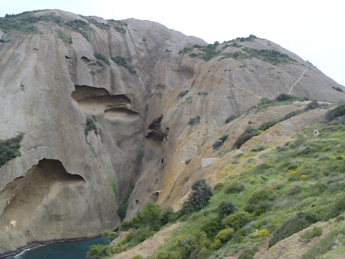
The Bec de l'Aigle above the Anse du Sec, La Ciotat; L'Atelier Bleu follows the runnel in the centre

France · Calanques

L'Atelier Bleu

An oddity: easy slabs and a long water-worn runnel up a dome of puddingstone above the sea, reached by abseiling into a cove from the Mugel park. The climbing is grade 3 and 4 on surprisingly solid pebbles. It was fully rebolted in 2024 and is a popular first multipitch.

4c6 pitches220 m
Around 6c · about 11 pitches

Similar elsewhere

No photo yet

Italy · Arco & Valle del Sarca

Nataraj

Steep, athletic corner climbing on the Mandrea wall above Arco, with pocketed slabs where the corner turns loose. Mostly 6a to 6b with a harder move on pitch 5 and the crux in the last pitch; both go at A0. The long layback corner near the top is the pitch people remember.

6c10 pitches275 m

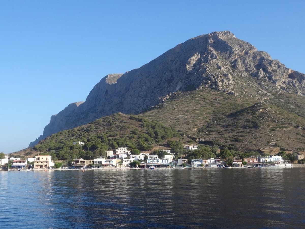
Telendos harbour and the south face of the island, seen from the water

Greece · Kalymnos & Telendos

Eterna

Eleven pitches up the south face of Telendos on extraordinarily sculpted rock, finishing with a 50 m wall of flint-like knobs. Two 6b+ pitches low down are the cruxes and the grades are widely called friendly. With the boat or coastal walk in and the walk off over the island, it makes a full and memorable day.

6b+11 pitches265 m

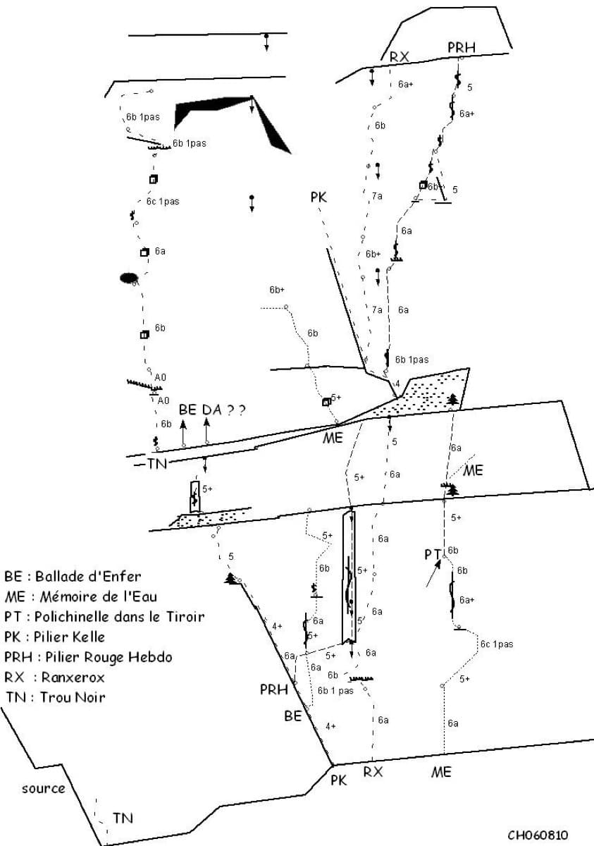
Sketch topo of the Ranxerox sector of the Tête d'Aval; La mémoire de l'eau is the line marked ME

France · Briançonnais

La mémoire de l'eau

One of the most admired lines on the Tête d'Aval: eleven sustained pitches, first up steep cracks and walls, then across orange limestone studded with small spikes. The grade is 6c with a 6c+ passage that has a fixed sling for aid, and 6b is obligatory. Parties advise being comfortable at 6c, because the bolting is sound but not generous.

6c+11 pitches300 m

Read the cautions

The north-west side of Punta Cusidore at dawn, seen from the approach above Oliena

Italy · Sardinia

L'Ombra della Mia Mano

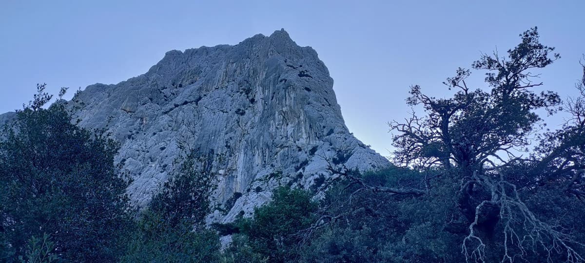
A 300 m pillar on the 'Dolomite of Sardinia': a hard, smooth first pitch in a north-facing gully, long grey slabs and walls, a demanding technical crux on pitch 6, then exposed climbing on the crest of the pillar on big sculpted holds. Mountain atmosphere with sport protection.

6c9 pitches300 m

Read the cautions

Compiled from published sources and last verified October 2026. Bolts, anchors and access change. Climbing is dangerous and you are responsible for your own decisions: check a current topo and read the disclaimer.