Multipitch Atlas

Die Namenlose

Brüggler – south face · Glarus (Brüggler) · Switzerland

CommittingBolting confidence: medium

The hardest of the Brüggler plaisir routes: an overhanging start on big holds, then smooth runnelled slabs, with a very blank 6a+ slab on pitch 3 that feels hard for the grade. The hardest moves there can be avoided by weaving left or right while still clipping the bolts. The top three pitches are easier.

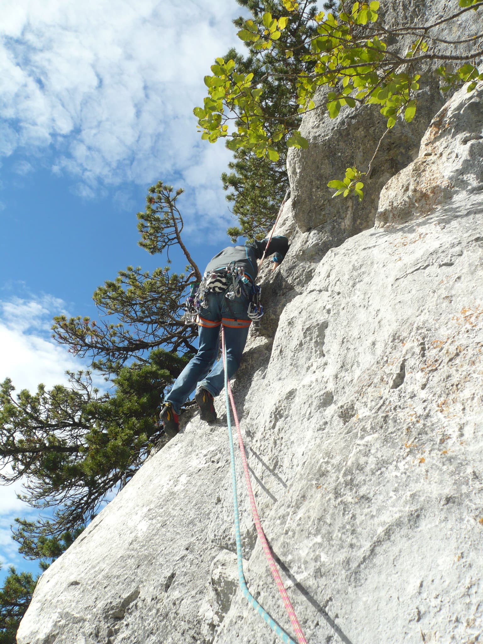
The water-worn runnels of the second pitch of Die NamenlosePhoto: Kati · CC BY-NC-ND 3.0

Photo

The water-worn runnels of the second pitch of Die NamenlosePhoto: Kati · CC BY-NC-ND 3.0
Hardest pitch
6a+
Pitches
7
Length
200 m
Approach
60 min
Aspect
S
South-facing
Rope
Not stated in sources
walk-off descent

The route

Overview

Die Namenlose, 'the nameless one', takes the slabs about 150 m right of the big corner on the Brüggler's south face. It has seven pitches: a steep 6a start on jugs, a 5c slab, then the crux, a smooth 6a+ slab that several of the hardest moves can be sidestepped on. Above, the route eases through 5c and 5b to a transition pitch and a pleasant 5a finish, sharing its last three pitches with Direkte Plattenwand. The rock is solid and the bolting was renewed in 2004. You need to be at ease on friction slabs.

The climbing

Pitch by pitch

Pitches of Die Namenlose
PitchGradeNotes
P16aAn overhanging start on big holds, then easier. The bolts are very close together.
P25cSlab climbing up runnels, with a few thin moves just below the belay.
P36a+A very smooth slab, not easy for 6a+. The hardest moves can be avoided by weaving left or right, and the bolts stay within reach.
P45cRising leftwards. theCrag notes that a Friend 2 can be placed here.
P55bNo description published.
P63bA transition pitch through the trees.
P75aA pleasant final pitch. It tops out on the summit ridge about 150 m east of the cross.

Getting there

Approach

To the parking

The Brüggler stands above the Schwändital in canton Glarus. From Zürich drive towards Glarus, leave at Näfels and follow the road towards the Obersee and into the Schwändital to the pay car park at the end of the road (about 5 CHF a day; camping beside it for a small fee, with toilets and water). Without a car, a 2016 party took the cable car up to Morgenholz (10 to 18 CHF in 2016, last descent 18:30) and walked 1 hour 30 minutes to 2 hours via the Wänifurggel.

On foot · about 60 min

From the car park follow the vehicle track, which is closed to traffic. At the second farm (Stattboden, 1448 m) take the path that climbs along the western edge of the forest to the foot of the big corner directly below the Brüggler summit. About 45 minutes to 1 hour. From the foot of the big corner follow the base of the face about 150 m to the right. The route name is on a metal plate; theCrag adds that the start is at two ring bolts.

Map of the walk-in

  • Crag
  • Parking

Loading map

The point marks the crag, not the exact start of the route.

Coordinates · crag

47.11750, 8.98379

Parking

47.10570, 9.01681

Schwändital pay car park at the end of the road (camptocamp waypoint 143353)

Point from camptocamp waypoint 42475 (Brüggler summit; the routes are on the south face directly below)

For your phone or watch

Download GPX

Contains the route point and parking. Opens in most mapping apps and GPS watches.

Points are compiled from published sources, with the precision stated above. They were not surveyed on the ground: check them against a current topo.

Getting down

Descent

On foot. From the top follow the summit west, descend the path west for about 200 m, cross the ridge heading south then east, and rejoin the approach path. Abseiling the route is not possible: it traverses, the belays are not rigged for abseiling and shrubs catch the ropes.

Retreat

Bailing off the route

Committing

Camptocamp states that abseiling the route is not possible because of traverses, belays not equipped for abseiling and shrubs. The crux comes on pitch 3, so decide there: below it you can still lower or abseil from linked bolts with your own material, above it the climbing eases and finishing is the way off.

Retreat from
Belays 1 and 2, with your own slings and maillons (inferred).
Point of no return
After the 6a+ slab of pitch 3, where the route starts to rise leftwards.
Carry
Slings and maillons to leave behind; two ropes if you want to abseil from the second belay.
Basis
Part stated, part inferredThe statement that the route cannot be abseiled is camptocamp's; the advice on retreating from the lower belays is inferred.

Partly inferred from the route facts

Safety

Hazards

  • The route cannot be abseiled.
  • Pitch 3 is hard, holdless friction for the grade; it would be very difficult damp.
  • Belay bolts are not all linked: bring slings.
  • The transition pitch runs through trees on easier, more broken ground with little protection; on the neighbouring Direkte Plattenwand the equivalent pitch has a single bolt and brittle rock.

Sun and weather

Conditions

Due south facing, between about 1550 m and the 1777 m summit. Best in spring and autumn and sometimes possible in winter; hot in summer. After snowfall, melt water runs down the runnels and pockets for days: a late-October 2016 party found a lot of seepage, and in early May 2016 there was still snow on the summit although the walk down was fine.

Usual season · May to Jun, Sep to Oct

Sun on the wall · S-facing

Working out the sunlit hours for this month.

  • January: not yet worked out
  • February: not yet worked out
  • March: not yet worked out
  • April: not yet worked out
  • May (usual season): not yet worked out
  • June (usual season): not yet worked out
  • July: not yet worked out
  • August: not yet worked out
  • September (usual season): not yet worked out
  • October (usual season): not yet worked out
  • November: not yet worked out
  • December: not yet worked out

Sun on the wallDaylight, wall in shade● Usual season

Estimated from the wall's aspect only. Ignores surrounding terrain, gullies and the wall's exact shape. Clock times are local to the wall (Central European time), for the 15th of each month.

Monthly climate averages for Glarus (Brüggler), 1991-2020
MeasureJanFebMarAprMay (usual season)Jun (usual season)JulAugSep (usual season)Oct (usual season)NovDec
Mean daily high °C−3−125101416161293−2
Mean daily low °C−10−10−6−4157741−5−9
Rain days 1 mm or more141316162222222117141415

● marks the usual climbing season. Averages for 1991-2020 at about 1711 m. Area climate from Open-Meteo reanalysis. Temperatures are adjusted to the height of the crag; rain comes from a grid cell of about 10 to 25 km, and summer highs on sea cliffs can read a few degrees low. The wall and valley can differ. Data: Open-Meteo, CC BY 4.0.

What to carry

Gear

12 quickdraws and a few slings to link the belay bolts (theCrag). Camptocamp lists no trad gear; theCrag suggests a Friend 2 as an optional extra for pitch 4. No source gives a rope length; the descent is on foot. Helmet.

Checklist

Quickdraws
12
Rope
Not stated in sources; walk-off descent
Helmet
One each
Abseil device and prusik
The descent or the retreat involves abseiling
Slings
Mentioned for retreat
Maillons or spare karabiners
To leave behind if you retreat

Derived from the route data; check it against a current topo

From climbers

Reader reports

Reader reports are not being collected yet. Until they are, check a current topo and the local club or guidebook publisher for recent changes to Die Namenlose.

Worth knowing

Tips

  • A 2015 party took 45 minutes for the approach and 2 hours 30 minutes for the route.
  • If the crux slab stops you, look left and right: the easier line still lets you clip.
  • Tante Ju, at the big corner, makes a good second route the same day.

Open questions

Where sources disagree

  • Trad gear: camptocamp lists none and a 2015 party found the bolting irreproachable; theCrag says a Friend 2 can help on pitch 4.
  • Shared pitches: theCrag says the last three pitches are shared with Direkte Plattenwand; camptocamp does not mention it, but the grades of the last pitches (transition, then 5a) match.
  • theCrag details come from a search summary only; the page itself could not be opened.

Provenance

Sources

Same area

More in Glarus (Brüggler)

All routes in Glarus (Brüggler)
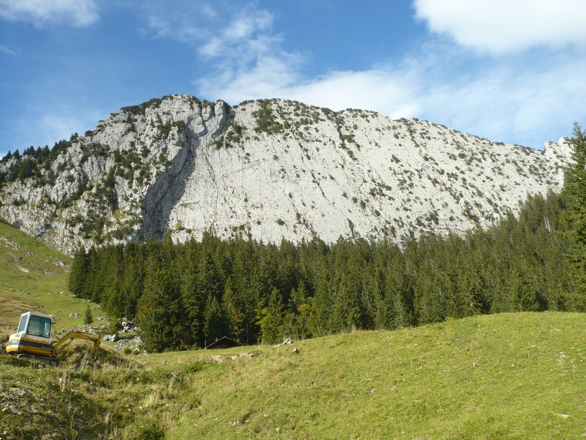
The slabby south face of the Brüggler above the pastures of the Schwändital.

Switzerland · Glarus (Brüggler)

Highway

Seven homogeneous pitches of grade 5 up the middle of the Brüggler's big limestone slab, much of it on water runnels, finishing among the pines near the summit cross. Never hard, but it climbs all the way and the bolts are not close. Best if you are solid at 5c.

5b7 pitches200 m

Read the cautions
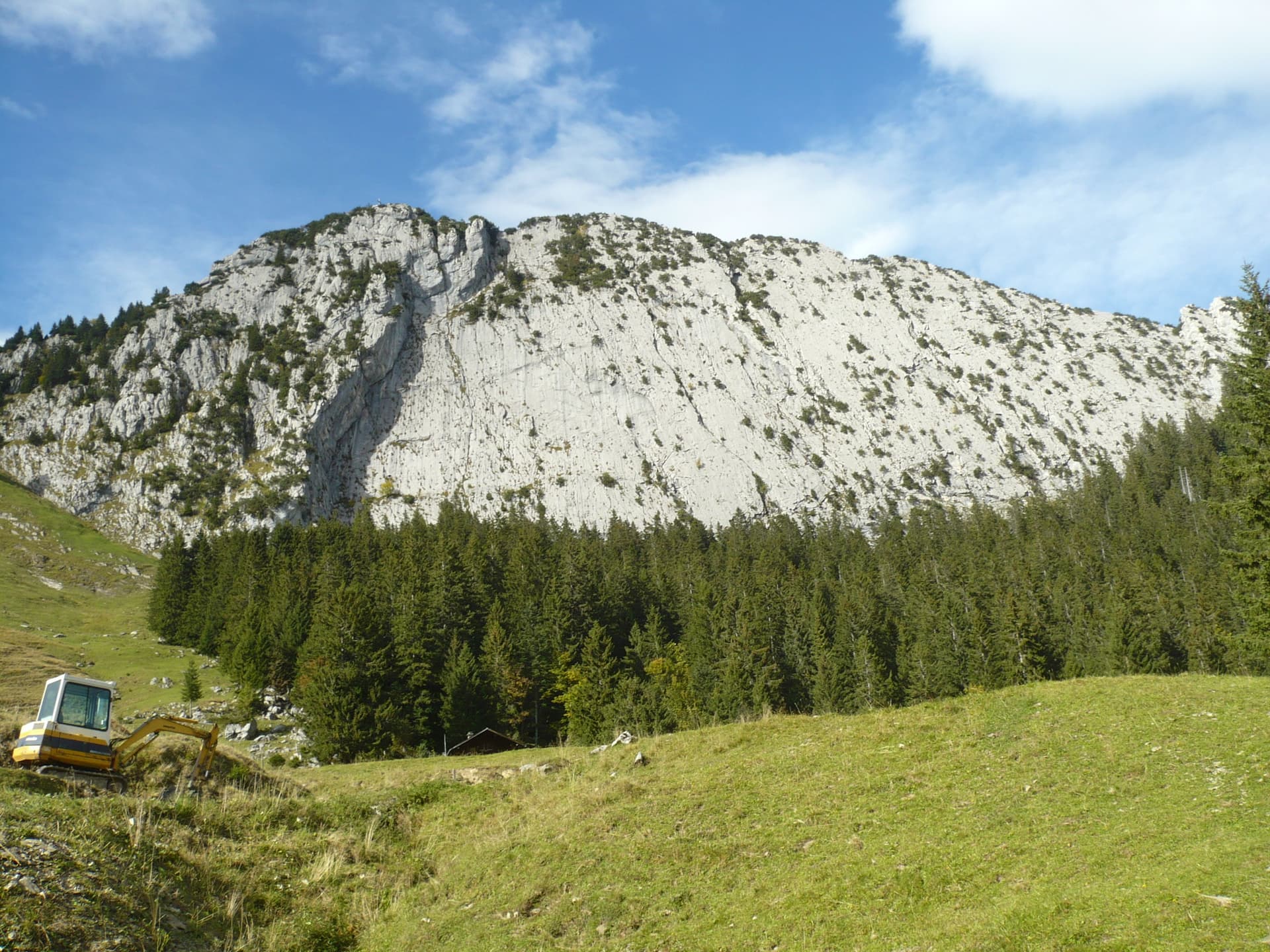
The south face slabs of the Brüggler above the Schwändital

Switzerland · Glarus (Brüggler)

Sonntagsweg

Seven pitches up the runnelled limestone slabs of the Brüggler's south face, with two short 6a cruxes, on pitch 3 and on the final pillar. The pitches in between are 4c to 5c+. From the sixth belay you can escape right onto the easier Kleine Verschneidung.

6a7 pitches200 m

Setting off on the second pitch of Tante Ju

Switzerland · Glarus (Brüggler)

Tante Ju

Five pitches beside the big corner below the summit, topping out right at the Brüggler's summit cross. The first pitch is the 5c+ crux and the last has a single 5c move; the middle is easier and not very sustained, with a short vegetated traverse.

5c+5 pitches200 m

Committing

Around 6a+ · about 7 pitches

Similar elsewhere

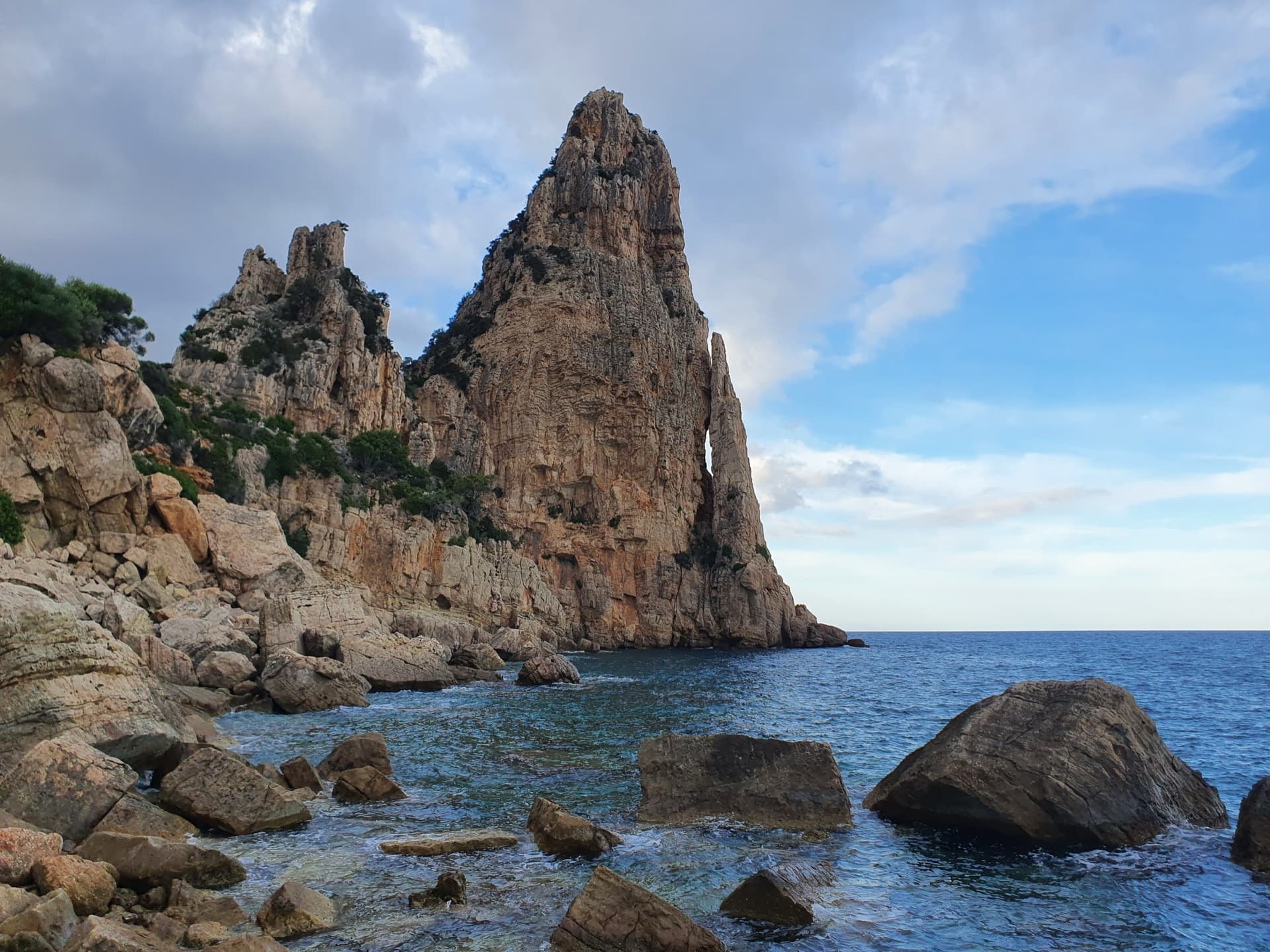
Pedra Longa, the 128 m limestone tower on the Baunei coast, seen from the shoreline rocks at its foot.

Italy · Sardinia

Marinaio di Foresta

An airy, mostly left-rising traverse that spirals round the Pedra Longa sea stack to its summit, on water-runnelled grey walls and pocketed white rock right above the sea. It has become one of the most popular routes in Sardinia, so expect queues.

6a+7 pitches190 m

Committing

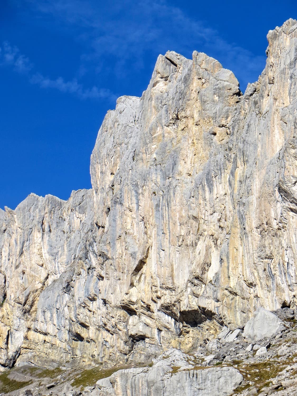
The Pointe Maurice Brandt at the left end of the Montons; Greatime threads its way between the roofs. The line is not marked

Switzerland · Sanetsch

Greatime

An adventurous line that weaves between the roofs of the Pointe Maurice Brandt, at the far left end of the Montons. It improves with height: the lower pitches have some friable rock, the last two are on exceptional grey, sculpted limestone. Lots of traversing and a memorable free-hanging final abseil.

6a+7 pitches180 m

Read the cautions

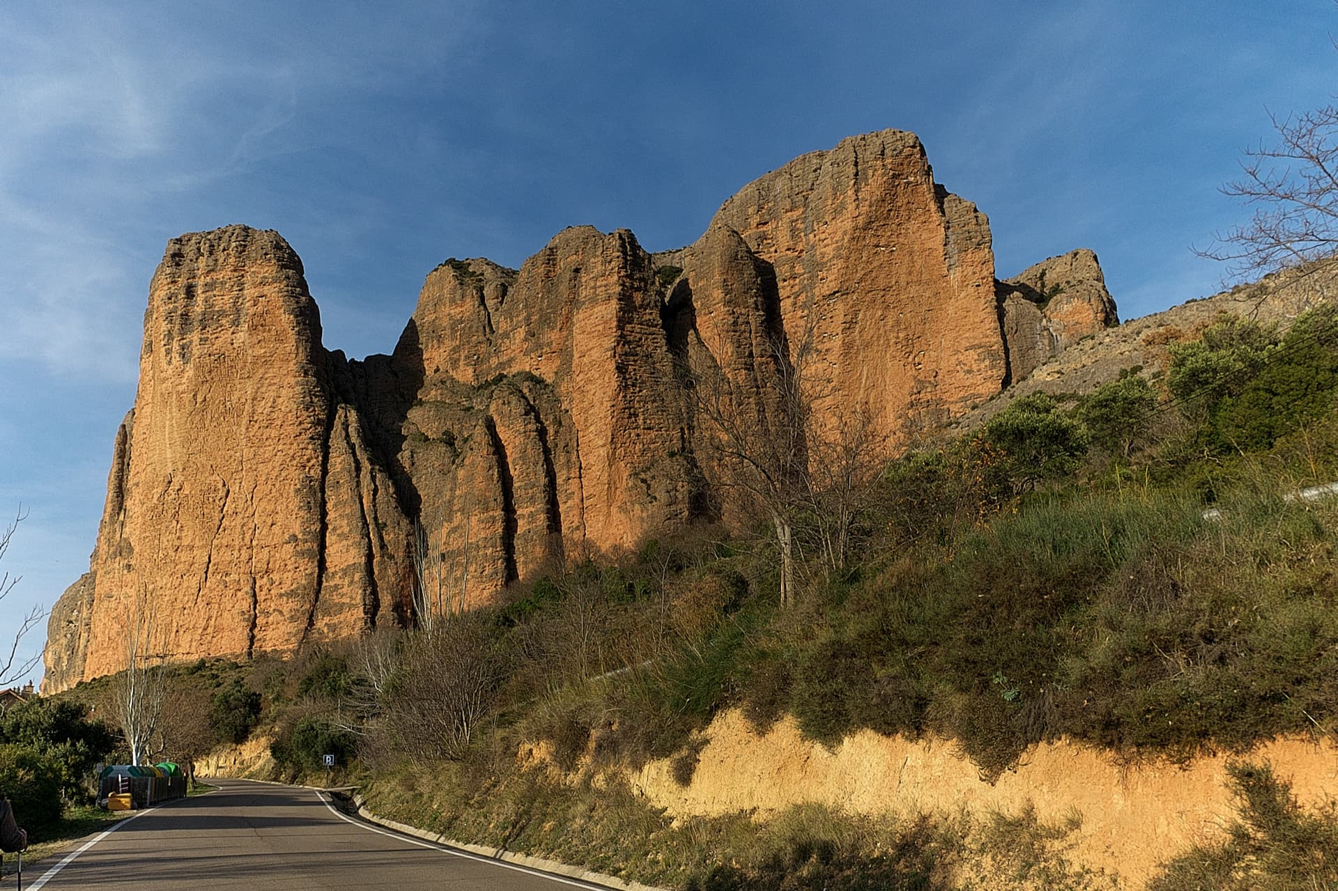
The south faces of the main Riglos wall in low sun, seen from the road into the village: Mallo Pisón on the left and the wall running right towards Mallo Frechín and La Visera at the right-hand end.

Spain · Riglos & Agüero (Mallos)

José Antonio Sanz

A good first route at Riglos: seven sustained 6a pitches on the spur of the Frechín, with a grandstand view of the Visera. Manage rope drag on the wandering first pitch.

6a+7 pitches180 m

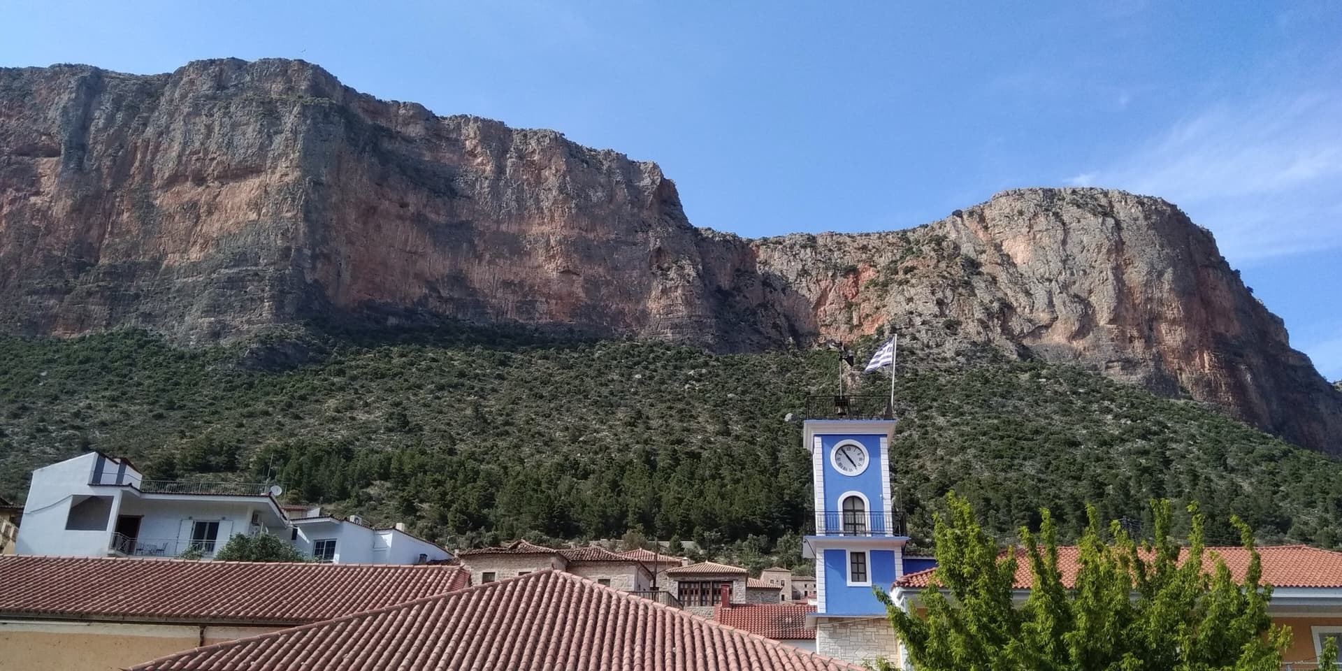
The red limestone wall of Kokkinovrachos rising directly above the rooftops and clock tower of Leonidio. Kapi Reborn is on the south-east face of this cliff; the exact line is not marked.

Greece · Leonidio & Kyparissi

Kapi Reborn

A newer pillar line with a pretty 45 m slab to start, a single interesting 6a+ crux on P4, and a final orange corner. It makes a good step up from Mignonette.

6a+7 pitches180 m

Compiled from published sources and last verified October 2026. Bolts, anchors and access change. Climbing is dangerous and you are responsible for your own decisions: check a current topo and read the disclaimer.