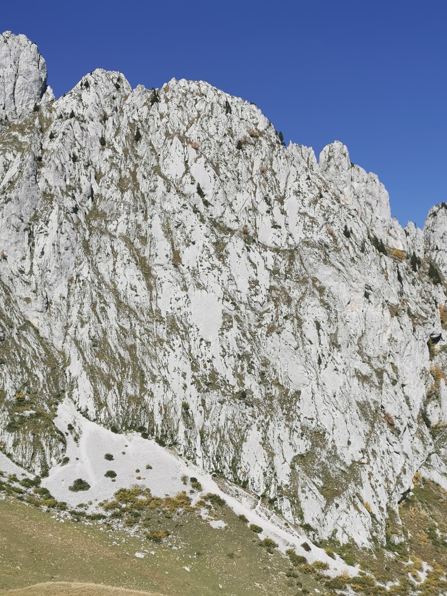
Switzerland · Gastlosen
Salü Jan
One of the busiest routes in the Gastlosen: homogeneous, technical climbing on beautiful fluted slabs (cannelures) that dry fast. The top third is broken by grassy ledges.
6a12 pitches380 m
Pfadflue · Gastlosen · Switzerland
Easy to bailBolting confidence: high
Six pitches of water-worn runnels and compact slab on the south face of the Pfadflue, ending on a ledge at mid-height. Pitch 4 pulls over a small overhang and pitch 5 is a delicate, holdless friction slab. You can carry on up the last five pitches of Salü Jan to the summit.
The route
Hallo Marco is the neighbour of Salü Jan on the south face of the Pfadflue, in one of the busiest sectors of the Gastlosen. It gives six pitches up to 6a: runnels low down, then an overhang and two pitches of compact slab that are more about nerve than strength. The route stops on a ledge half-way up the face, where you either abseil or continue up the last five pitches of Salü Jan. The bolting is excellent and all belays are chained, so it works well as a first 6a multipitch on Gastlosen limestone, provided you are happy on friction.
The climbing
| Pitch | Grade | Notes |
|---|---|---|
| P1 | 5b | A slightly grassy slab. A 2020 party found clods of earth filling some holds. |
| P2 | 5a | Slab and runnels, then a few grassy steps. |
| P3 | 5b | A fine, fairly long pitch up runnels. |
| P4 | 6a | Pull over an overhang, one airy move, then climb a runnelled slab. |
| P5 | 6a | A compact slab on small bumps, all friction and balance. Parties call it the mental crux. Mountain Project grades it a hard 5c. |
| P6 | 5c | Another compact slab, shorter, to the ledge and a double belay. Salü Jan continues across the gully to the right. |
Getting there
The Gastlosen chain stands between Jaun (canton Fribourg) and Abländschen/Saanen (canton Bern). For the south-east side, drive from Jaun towards Abländschen and turn left at the hairpin just before the village, or come up from Saanen, to the Col du Mittelberg. Camptocamp's access notes say the road beyond Mittelberg is closed to traffic (30 min by bike or 45 min on foot to Oberi Bire), yet parties in 2025 and 2026 still report parking at Oberi Bire, so check the signs on the day. A bus links Jaun and Saanen via Mittelberg from May to October (daily in school holidays, otherwise weekends; it ran until 26 October in 2025). Camping is not allowed at the car parks; Jaun has a campsite and a camper-van area. The Pfadflue can also be reached from the Oberberg car park (1490 m) on the Jaun side.
From Oberi Bire follow the well-marked path north across the hillside to a shoulder on a ridge below the south-east face of the Gross Turm, at about 1800 m. Drop into the small valley to the north and traverse its left flank to a scree slope that leads to the foot of the route; the Pfadflue is the face right of the Gross Turm, with a cross near its top. From Oberberg, climb the bank and take the path up the wooded valley heading west-south-west to the foot of the face. Allow 30 to 45 minutes. The name is painted at the base.
Loading map
The point marks the base of the route.
Parking
Oberi Bire (camptocamp waypoint 113903); the road beyond Mittelberg may be closed to cars
Point from Mountain Project route text (start of Hallo Marco and Salü Jan), about 200 m from camptocamp waypoint 41643 (Pfadflue)
Contains the route point and parking. Opens in most mapping apps and GPS watches.
Points are compiled from published sources, with the precision stated above. They were not surveyed on the ground: check them against a current topo.
Coordinates: 46.57716, 7.27521 (route base) · Parking: 46.56659, 7.27179
Getting down
Abseil the route: 30 m from belay 6 to belay 5, 45 m from belay 5 to belay 3 (under an overhang), 40 m to belay 2, then belay 1 and the ground. If you have continued up Salü Jan, follow its marked abseil line down, but cross the ledge to the Hallo Marco belay for the abseil of pitch 6 instead of abseiling from belay 7 of Salü Jan, which sends stones down the face.
Retreat
Easy to bail
Abseiling the route is the normal descent and every belay is chained and doubled, so you can retreat from any stance with two 50 m ropes. Parties regularly stop after two to four pitches and abseil off.
Safety
Sun and weather
South facing between about 1770 m and the mid-height ledge, below a 2066 m summit. It gets hot in summer and the rock dries quickly. Parties climb it from late April to late November, with a little snow on the approach at both ends of the season and short, cold days in November.
Sun on the wall · S-facing
Working out the sunlit hours for this month.
Sun on the wallDaylight, wall in shade● Usual season
Estimated from the wall's aspect only. Ignores surrounding terrain, gullies and the wall's exact shape. Clock times are local to the wall (Central European time), for the 15th of each month.
| Measure | Jan | Feb | Mar | Apr | May (usual season) | Jun (usual season) | Jul (usual season) | Aug (usual season) | Sep (usual season) | Oct (usual season) | Nov | Dec |
|---|---|---|---|---|---|---|---|---|---|---|---|---|
| Mean daily high °C | −3 | −2 | 2 | 5 | 10 | 14 | 16 | 16 | 12 | 9 | 2 | −2 |
| Mean daily low °C | −11 | −10 | −7 | −5 | −1 | 4 | 6 | 6 | 3 | −1 | −6 | −10 |
| Rain days 1 mm or more | 14 | 12 | 14 | 16 | 20 | 20 | 20 | 18 | 15 | 13 | 13 | 14 |
● marks the usual climbing season. Averages for 1991-2020 at about 1766 m. Area climate from Open-Meteo reanalysis. Temperatures are adjusted to the height of the crag; rain comes from a grid cell of about 10 to 25 km, and summer highs on sea cliffs can read a few degrees low. The wall and valley can differ. Data: Open-Meteo, CC BY 4.0.
What to carry
2×50 m ropes and 12 quickdraws (camptocamp). Mountain Project suggests at least 16 quickdraws, some of them extendable, if you continue to the summit. No trad gear needed. Helmet.
Derived from the route data; check it against a current topo
From climbers
Reader reports are not being collected yet. Until they are, check a current topo and the local club or guidebook publisher for recent changes to Hallo Marco.
Worth knowing
Open questions
Provenance
Same area
Switzerland · Gastlosen
One of the busiest routes in the Gastlosen: homogeneous, technical climbing on beautiful fluted slabs (cannelures) that dry fast. The top third is broken by grassy ledges.
6a12 pitches380 m
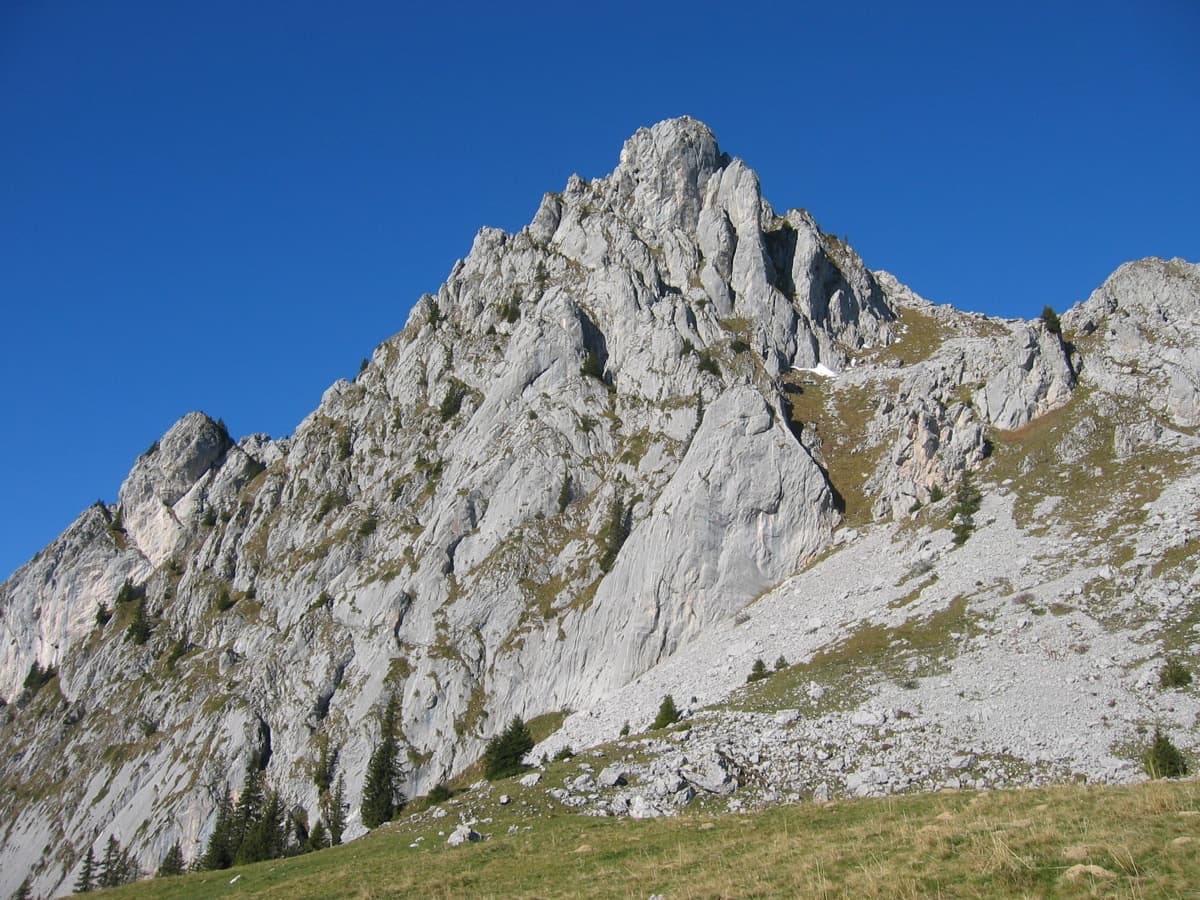
Switzerland · Gastlosen
One of the best routes at 6a to 6b in the Gastlosen: eight varied pitches of pocketed slab, short walls, pillars and water-drop rock on the south-east face of the Wandflue. The first pitch is the 6b crux and the steep, pocketed wall of pitch 7 is the highlight. A few grassy ledges link the good rock.
6b8 pitches250 m
Read the cautions
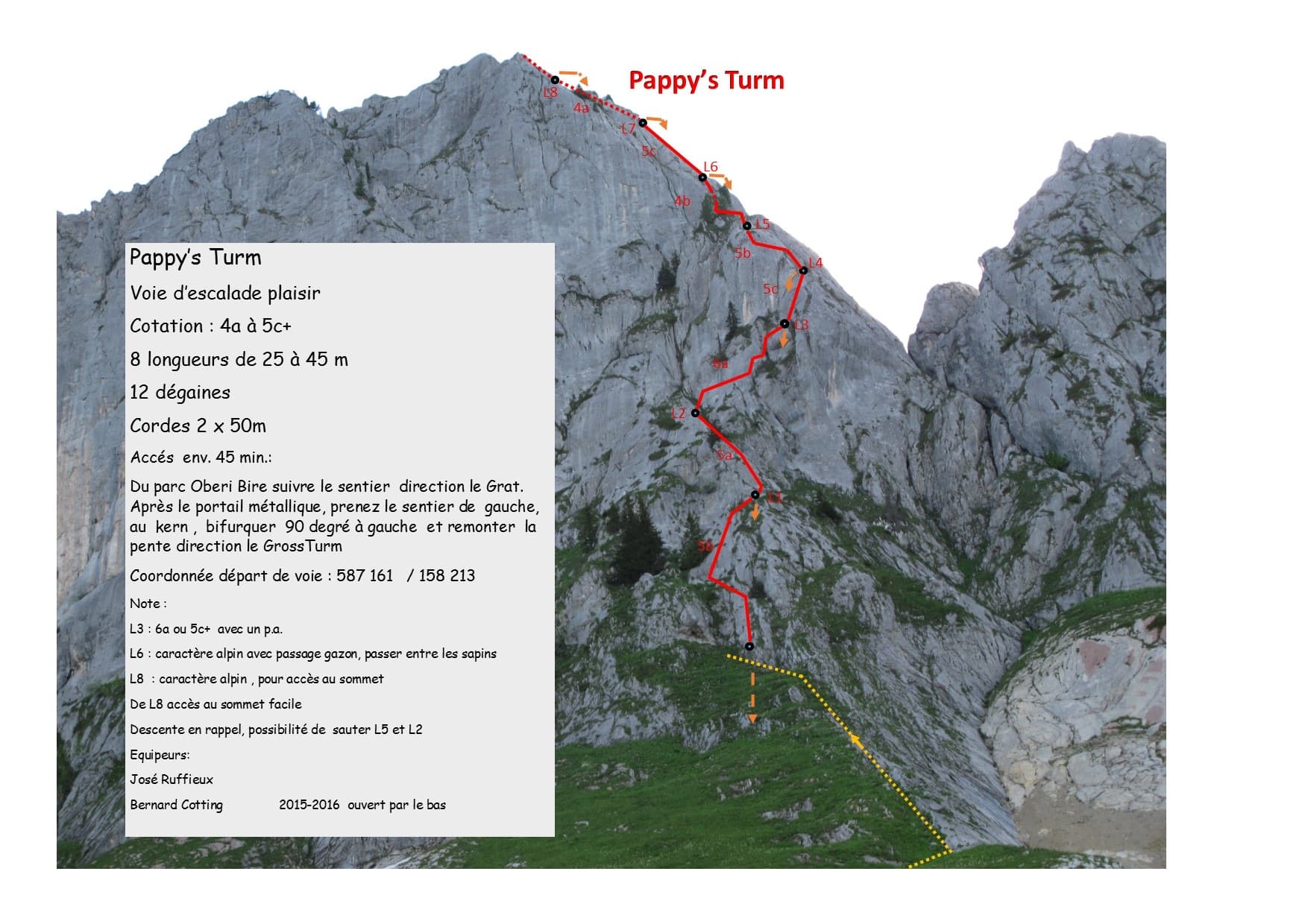
Switzerland · Gastlosen
A modern eight-pitch plaisir route up the east side of the Gross Turm, with a summit you can scramble to from the last belay. Mostly 5a to 5c on slabs and small pillars, with one delicate 6a traverse on pitch 3 that goes at 5c+ with a pull on a bolt. Pitches 3 and 4 feel stiff for the grade.
6a8 pitches250 m
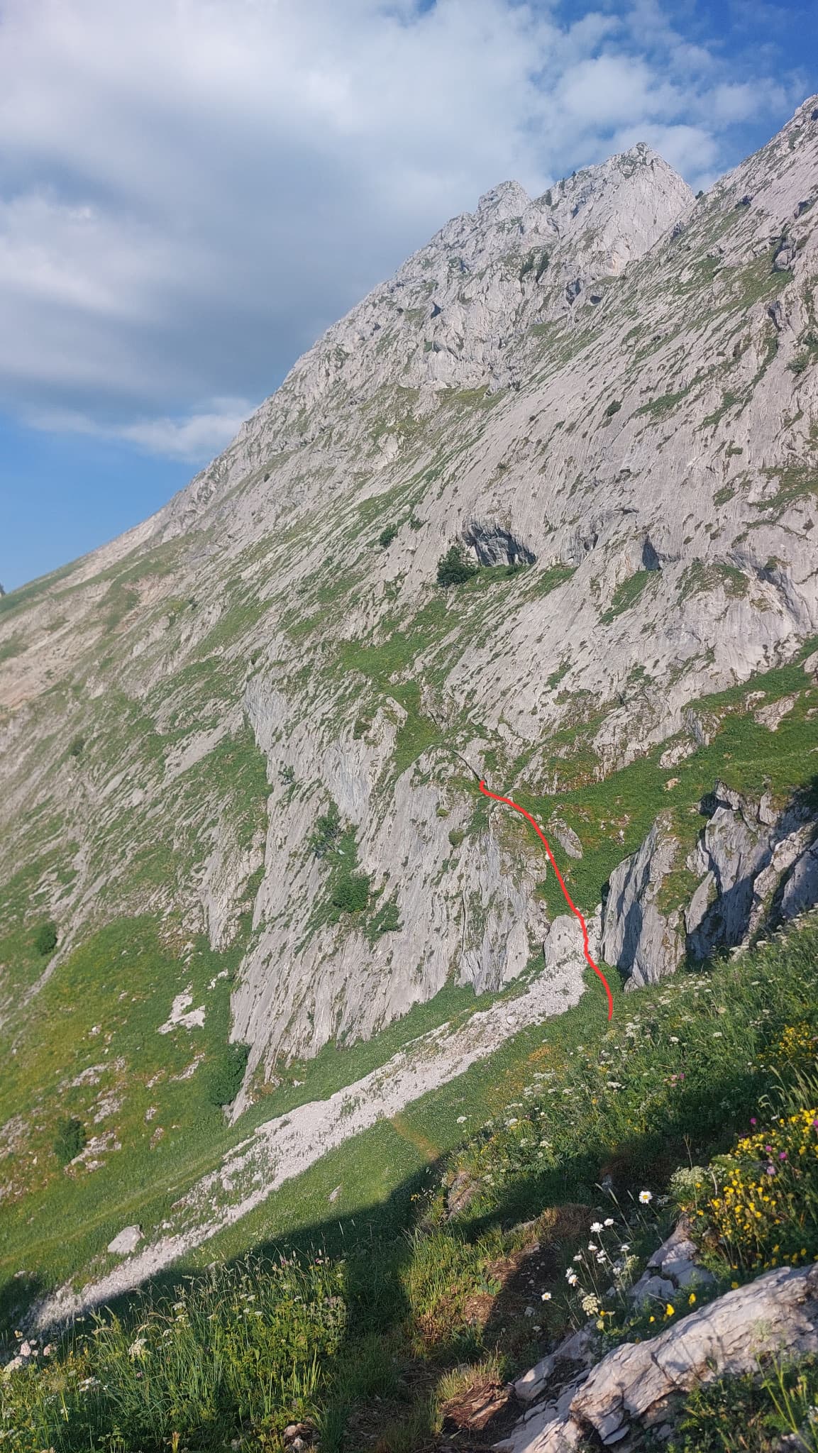
Switzerland · Gastlosen
A long, easy and very well bolted route up low-angle runnelled limestone slabs to point 2105 m on the ridge between the Dent de Ruth and the Dent de Savigny. Only pitches 2 and 3 steepen. The belays are on comfortable grass ledges and it is the only line on the face, so you cannot get lost.
5a10 pitches300 m
Around 6a · about 6 pitches
Croatia · Omiš
Omiš's signature moderate: long, slabby pitches on knobbly grey limestone with big views over the Cetina mouth and the Adriatic. The crux is a short crack on the final pitch.
6a6 pitches230 m
Switzerland · Bernese Oberland
The most popular route at Hintisberg: six pitches from the lowest point of the wall, with slabs, a technical wall and small overhangs to turn. It gets better as it rises and ends on a superb wall of pockets, where the obligatory 6a crux lies. Expect a queue on fine weekends.
6a6 pitches200 m
Germany · Berchtesgaden & Bad Reichenhall
Six pitches on excellent grippy limestone with views to the Watzmann, established 2012. Pitch grades are converted from the UIAA topo (6-, 6, 6, 5+, 5+, 6); 5 is obligatory.
6a6 pitches165 m
Austria · Karwendel (Innsbruck Nordkette)
Easy slab climbing straight up the plate zone below the 'Ostrisswald' on the Martinswand plinth, broken by a few ledges. Mostly UIAA 4 to 5, with an overhang on pitch 2 and the 6a crux on the long last pitch.
6a6 pitches200 m
Compiled from published sources and last verified October 2026. Bolts, anchors and access change. Climbing is dangerous and you are responsible for your own decisions: check a current topo and read the disclaimer.