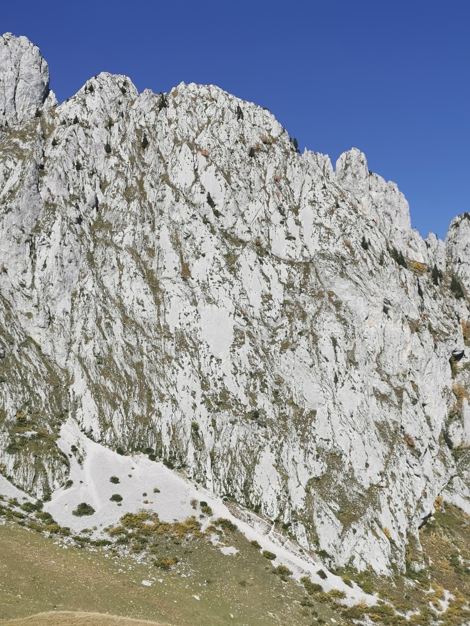
Switzerland · Gastlosen
Salü Jan
One of the busiest routes in the Gastlosen: homogeneous, technical climbing on beautiful fluted slabs (cannelures) that dry fast. The top third is broken by grassy ledges.
6a12 pitches380 m
Wandflue · Gastlosen · Switzerland
Read the cautionsBail with caveatsBolting confidence: high
One of the best routes at 6a to 6b in the Gastlosen: eight varied pitches of pocketed slab, short walls, pillars and water-drop rock on the south-east face of the Wandflue. The first pitch is the 6b crux and the steep, pocketed wall of pitch 7 is the highlight. A few grassy ledges link the good rock.
Superbly rebolted in 2020, but a hanger was missing at belay 3 in late 2025 and spring 2026, so carry the means to back it up.
The route
Toto le héros climbs the south-east face of the Wandflue, right of the Grand Orgue slabs, in eight pitches. It is varied for the Gastlosen: a long technical slab to start, then pillars, pocketed walls and a steep, juggy finish, with a walk-off from the top. Camptocamp describes it as one of the finest routes at 6a/6a+ in the range, and since the complete rebolt of 2020 the bolting has been close and modern. Every pitch asks for some climbing, including the 5b ones, so you should be solid at 6a.
The climbing
| Pitch | Grade | Notes |
|---|---|---|
| P1 | 6b | Long and technical: a slab of pockets and slopers that needs reading, then demanding runnels to finish. A stiff warm-up and the hardest pitch. |
| P2 | 6a | A fairly athletic pillar with one hard move, then a pocketed slab. The belay is offset from the next pitch: descend slightly to a ledge (one peg) and traverse left to a two-bolt belay. Straight on is the two-pitch variant Bébé rose (5b, 6b+). |
| P3 | 6a | A fine slab followed by a vertical pocketed wall. This is the belay where a hanger was missing in 2025 and 2026. |
| P4 | 6a | More of the wall, then a superb, easier pillar. A 6c variant takes the overhang on the right. |
| P5 | 5b | About 15 m up the pillar to an optional belay on top of the tower, then 30 m of grassy steps up and left. One bolt protects a steeper bit in the grass. |
| P6 | 6a | A good pocketed wall for 15 m, then grassy steps and a short slab. Cross a small gully to the right to reach the next pitch. |
| P7 | 6a+ | Sustained and physical on a steep wall of pockets and sharp water-drop holds, then an exposed traverse right on good holds and a wall before pulling onto the slab. After the flake do not follow the obvious ramp left; the bolt in the traverse is hard to see, so spot it from below. |
| P8 | 5b | Short: a few slab moves to the top. It can be linked with pitch 7 if your rope is long enough, with some drag. |
Getting there
The Gastlosen chain stands between Jaun (canton Fribourg) and Abländschen/Saanen (canton Bern). For the south-east side, drive from Jaun towards Abländschen and turn left at the hairpin just before the village, or come up from Saanen, to the Col du Mittelberg. Camptocamp's access notes say the road beyond Mittelberg is closed to traffic (30 min by bike or 45 min on foot to Oberi Bire), yet parties in 2025 and 2026 still report parking at Oberi Bire, so check the signs on the day. A bus links Jaun and Saanen via Mittelberg from May to October (daily in school holidays, otherwise weekends; it ran until 26 October in 2025). Camping is not allowed at the car parks; Jaun has a campsite and a camper-van area.
Head for the Grand Orgue sector, then go right along the red-and-white marked path. At the height of the start, by a large cairn, leave the path and traverse about 150 m horizontally left across pasture and scree to the rock (a few small cairns). The name is written at the foot, but since the rebolt the route starts 10 m lower, a little down and left of the writing when you face it. Camptocamp gives 20 minutes from the old car park at point 1687, now blocked off; recent parties took about 30 minutes from Oberi Bire and a couple searched a while for the start.
Loading map
The point marks the crag, not the exact start of the route.
Parking
Oberi Bire (camptocamp waypoint 113903); the road beyond Mittelberg may be closed to cars
Point from camptocamp waypoint 37400 (Wandflue summit; the route is on the south-east face below)
Contains the route point and parking. Opens in most mapping apps and GPS watches.
Points are compiled from published sources, with the precision stated above. They were not surveyed on the ground: check them against a current topo.
Coordinates: 46.56340, 7.25974 (crag) · Parking: 46.56659, 7.27179
Getting down
On foot. From the top go north, then right (east) and descend a wide gully that leads straight back to the foot of the route, on a faint path with a few cairns. Parties call it obvious and pleasant when clear of snow.
Retreat
Bail with caveats
The normal descent is on foot from the top and no source describes abseiling the route. Most belays are linked and have a ring, so a retreat by abseil should be feasible from the lower pitches, but some belays are not rigged and the line moves sideways after pitch 2 and before pitch 7. With the single 50 m rope the route is usually climbed on, abseils are limited to 25 m.
Partly inferred from the route facts
Safety
Sun and weather
South-east facing, from about 1900 m to the 2133 m top. The descent gully holds snow late: it was still snowed up in early May 2026 and again after the first autumn snowfalls in November, and camptocamp warns that in some years it stays full well into spring. Parties climb the route from June to early November.
Sun on the wall · SE-facing
Working out the sunlit hours for this month.
Sun on the wallDaylight, wall in shade● Usual season
Estimated from the wall's aspect only. Ignores surrounding terrain, gullies and the wall's exact shape. Clock times are local to the wall (Central European time), for the 15th of each month.
| Measure | Jan | Feb | Mar | Apr | May | Jun (usual season) | Jul (usual season) | Aug (usual season) | Sep (usual season) | Oct (usual season) | Nov | Dec |
|---|---|---|---|---|---|---|---|---|---|---|---|---|
| Mean daily high °C | −3 | −2 | 2 | 5 | 10 | 14 | 16 | 16 | 12 | 9 | 2 | −2 |
| Mean daily low °C | −11 | −10 | −7 | −5 | −1 | 4 | 6 | 6 | 3 | −1 | −6 | −10 |
| Rain days 1 mm or more | 14 | 12 | 14 | 16 | 20 | 20 | 20 | 18 | 15 | 13 | 13 | 14 |
● marks the usual climbing season. Averages for 1991-2020 at about 1766 m. Area climate from Open-Meteo reanalysis. Temperatures are adjusted to the height of the crag; rain comes from a grid cell of about 10 to 25 km, and summer highs on sea cliffs can read a few degrees low. The wall and valley can differ. Data: Open-Meteo, CC BY 4.0.
What to carry
A 50 m rope and 16 quickdraws (camptocamp). Take slings or cord to link the belays that are not joined, and after the 2025 and 2026 reports something to back up belay 3 (parties used two cams, or the next bolt above). Helmet.
Derived from the route data; check it against a current topo
From climbers
Reader reports are not being collected yet. Until they are, check a current topo and the local club or guidebook publisher for recent changes to Toto le héros.
Worth knowing
Open questions
Provenance
Same area
Switzerland · Gastlosen
One of the busiest routes in the Gastlosen: homogeneous, technical climbing on beautiful fluted slabs (cannelures) that dry fast. The top third is broken by grassy ledges.
6a12 pitches380 m
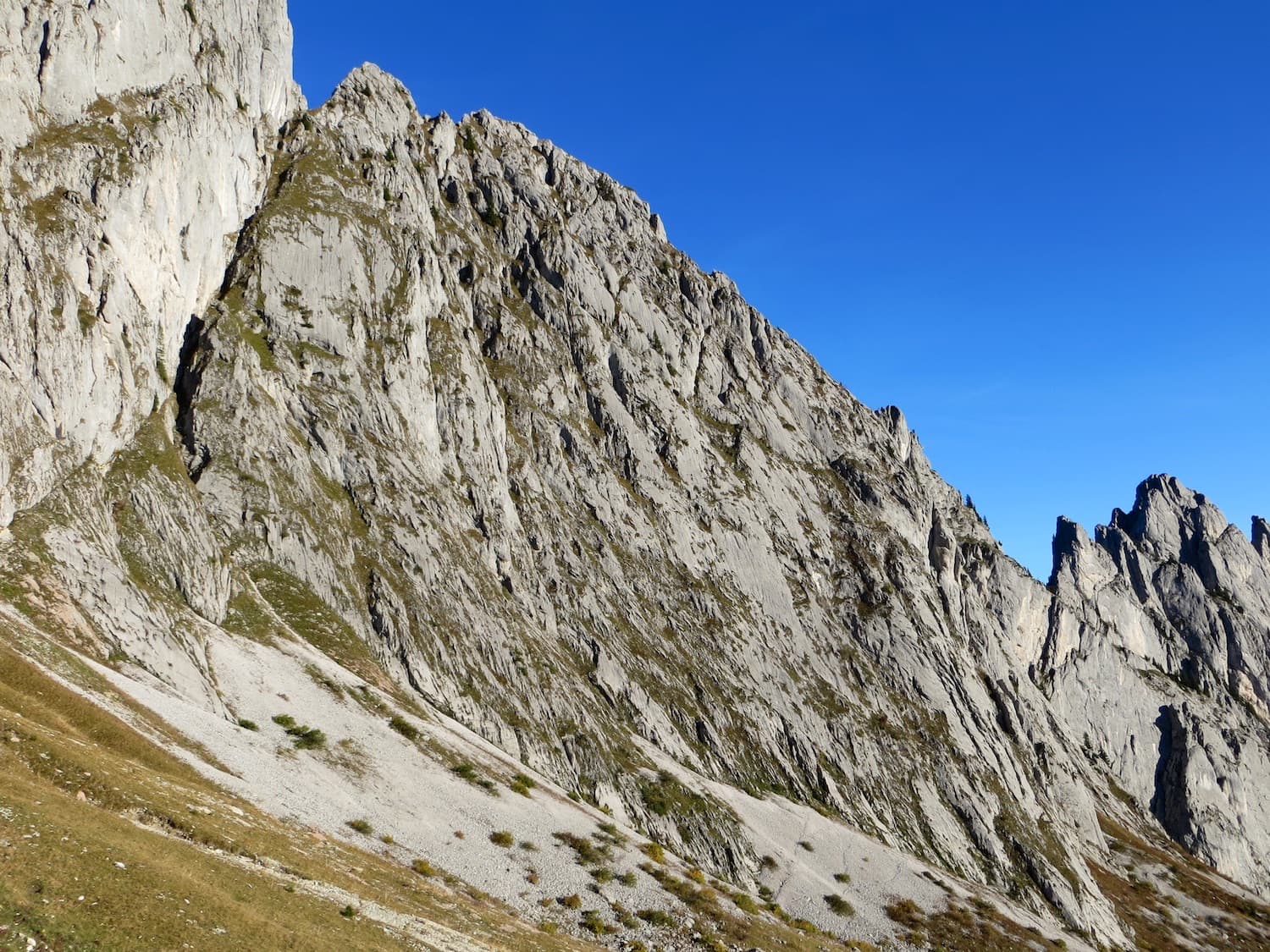
Switzerland · Gastlosen
Six pitches of water-worn runnels and compact slab on the south face of the Pfadflue, ending on a ledge at mid-height. Pitch 4 pulls over a small overhang and pitch 5 is a delicate, holdless friction slab. You can carry on up the last five pitches of Salü Jan to the summit.
6a6 pitches250 m
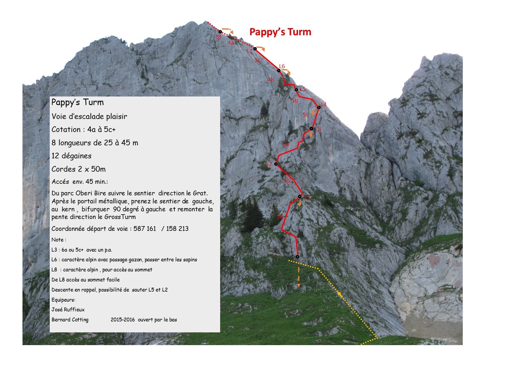
Switzerland · Gastlosen
A modern eight-pitch plaisir route up the east side of the Gross Turm, with a summit you can scramble to from the last belay. Mostly 5a to 5c on slabs and small pillars, with one delicate 6a traverse on pitch 3 that goes at 5c+ with a pull on a bolt. Pitches 3 and 4 feel stiff for the grade.
6a8 pitches250 m
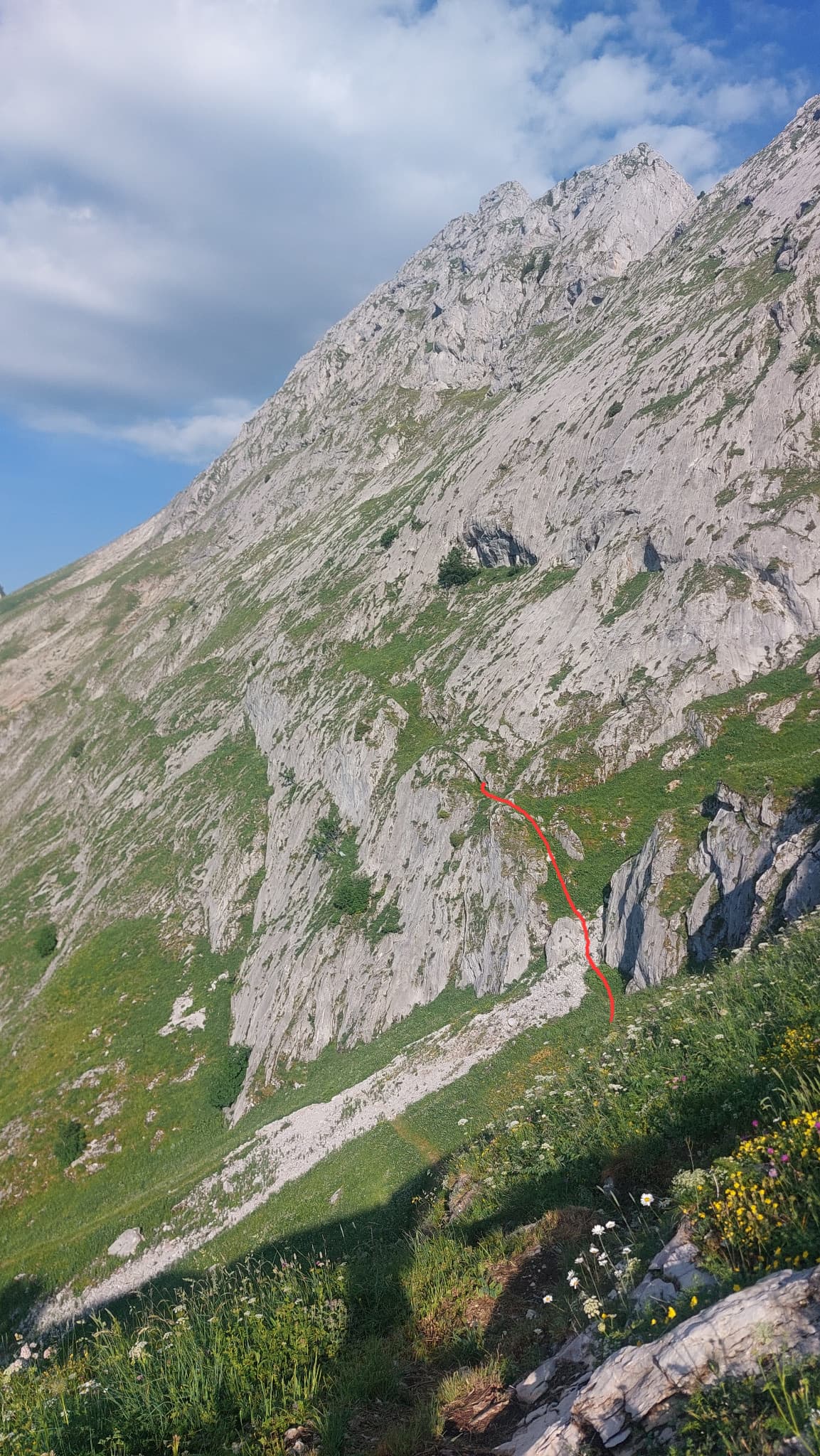
Switzerland · Gastlosen
A long, easy and very well bolted route up low-angle runnelled limestone slabs to point 2105 m on the ridge between the Dent de Ruth and the Dent de Savigny. Only pitches 2 and 3 steepen. The belays are on comfortable grass ledges and it is the only line on the face, so you cannot get lost.
5a10 pitches300 m
Around 6b · about 8 pitches
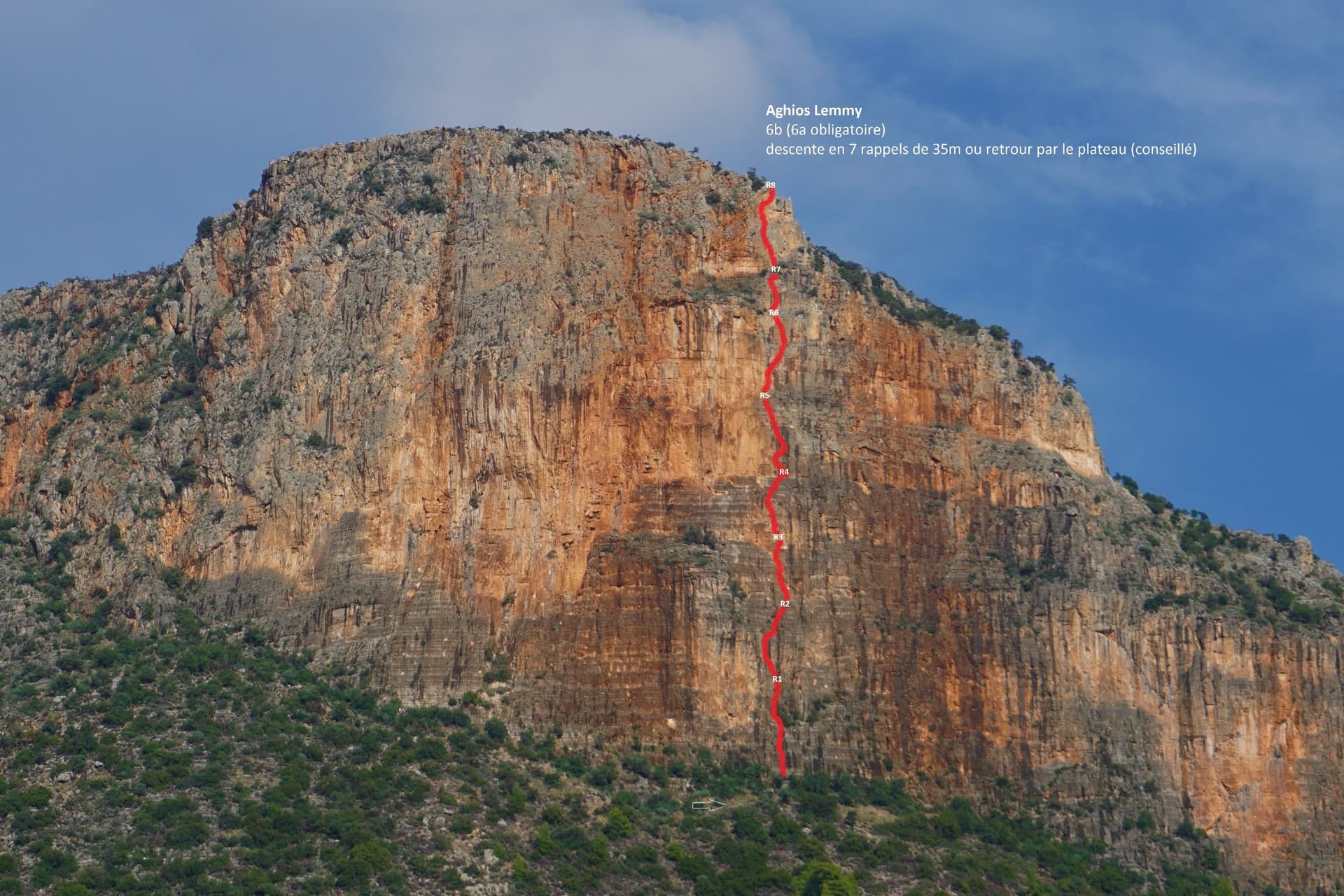
Greece · Leonidio & Kyparissi
Short, mostly vertical pitches on beautiful multi-coloured limestone with varied climbing. It is sustained at 6a+/6b from P2 to the top. The route name is written at its base.
6b8 pitches160 m
Switzerland · Wiwanni (Baltschiedertal)
Eight short, varied pitches on the Gross Öugstchummuhorn. Three slab pitches lead to a steep, athletic 6a+ through a series of bulges and a tricky, exposed 6b traverse near the top. In the afternoon the pitches alternate between sun and shade, which gave the route its name.
6b8 pitches185 m
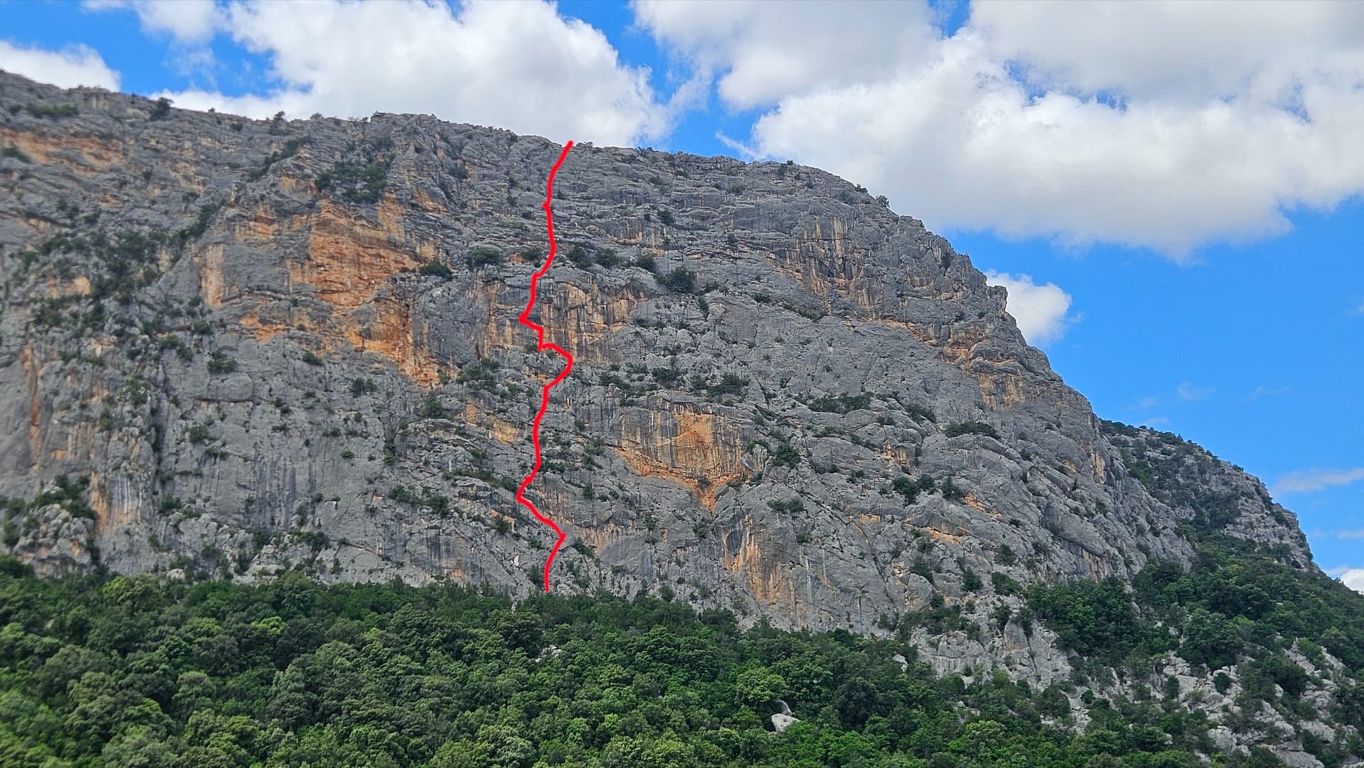
Italy · Sardinia
Eight short, steep pitches up the grey and yellow east face of Monte Oddeu, sustained at 6a with two pitches of 6b. Sculpted, grippy rock that parties compare to the Verdon, with ledges that give comfortable belays. The hard move on pitch 5 can be aided.
6b8 pitches185 m
Croatia · Omiš
A long, varied line of slabs, corners and ledgy traverses up the middle of Ilinac. MP and plezanje.net count the pitches differently (7 vs 8) because they split the short easy top pitches differently.
6b8 pitches235 m
Read the cautions
Compiled from published sources and last verified October 2026. Bolts, anchors and access change. Climbing is dangerous and you are responsible for your own decisions: check a current topo and read the disclaimer.