Multipitch Atlas

Im Licht und Schatten

Gross Öugstchummuhorn (Gross Augstkummenhorn) · Wiwanni (Baltschiedertal) · Switzerland

Bail with caveatsBolting confidence: high

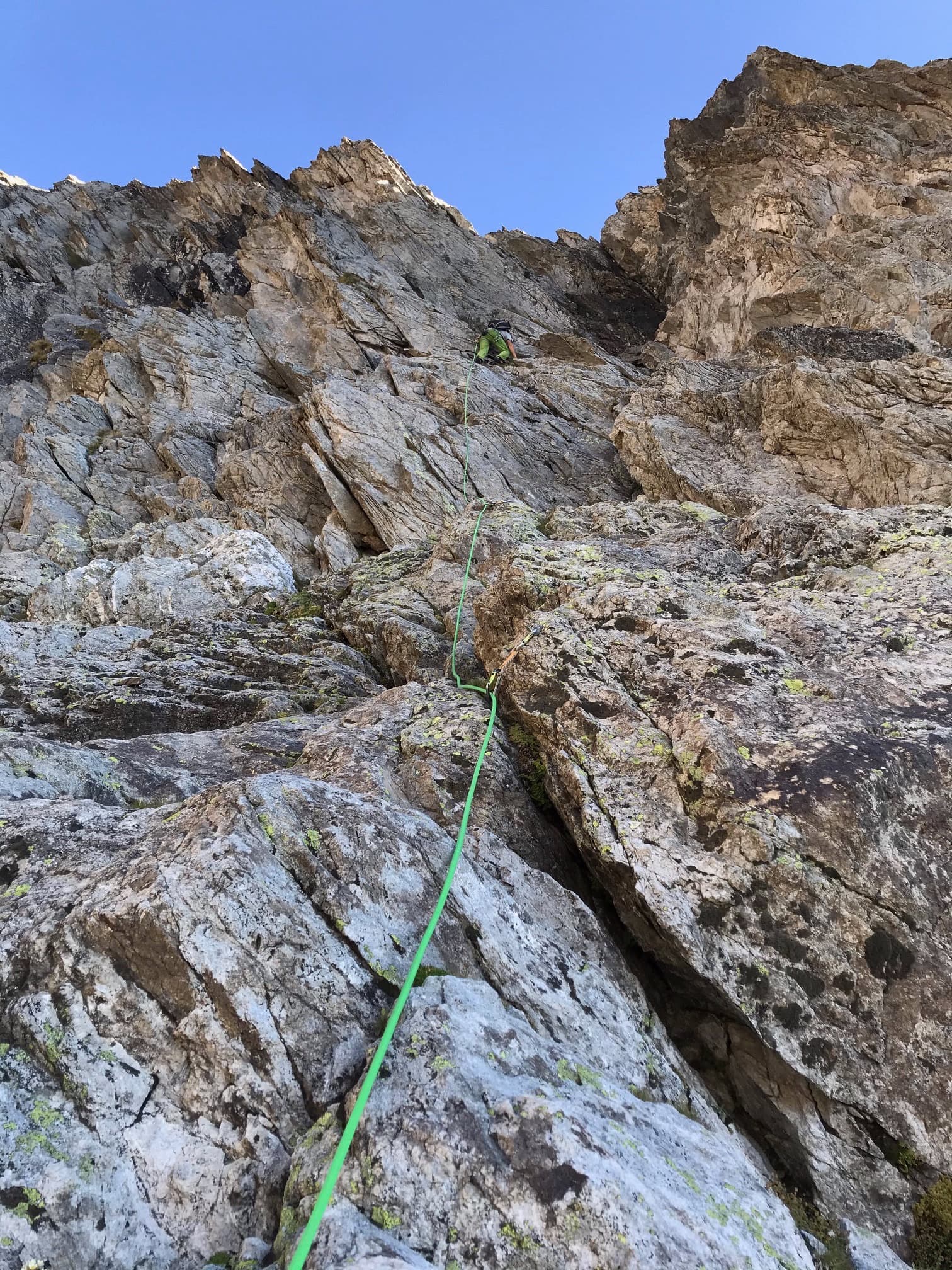
Eight short, varied pitches on the Gross Öugstchummuhorn. Three slab pitches lead to a steep, athletic 6a+ through a series of bulges and a tricky, exposed 6b traverse near the top. In the afternoon the pitches alternate between sun and shade, which gave the route its name.

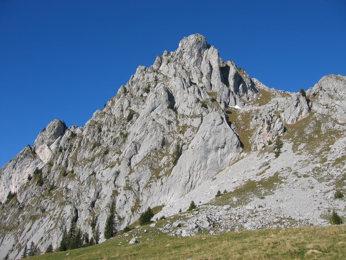
The Klein and Gross Öugstchummuhorn seen from the approach to the WiwannihüttePhoto: BertrandSemelet · CC BY-NC-ND 3.0

Photo

The Klein and Gross Öugstchummuhorn seen from the approach to the WiwannihüttePhoto: BertrandSemelet · CC BY-NC-ND 3.0
Hardest pitch
6b
Pitches
8
Length
185 m
Approach
40 min
Aspect
E
East-facing
Rope
1×50 m

The route

Overview

Im Licht und Schatten is the modern harder line on the Gross Öugstchummuhorn: eight pitches of 20 to 30 m, with obligatory climbing of 6a. It starts with three classic slab pitches, then changes style with a puzzling step, an athletic pitch through several bulges and a final 6b whose crux is a traverse to the right. The hard sections are very closely bolted. The descent uses the abseil piste of the neighbouring route Männertreu?, reached by a short scramble.

The climbing

Pitch by pitch

Pitches of Im Licht und Schatten
PitchGradeLengthNotes
P15c25 mVertical slab, then a traverse left.
P25b25 mSlab.
P35a20 mSlab.
P46a20 mSmall slabs separated by an unusual move that takes some working out.
P56a+30 mSeveral bulges; athletic. There is an extra belay after 10 m, probably for descent or for linking with pitch 4.
P65c25 mSlab, hardest towards the end.
P76b25 mA hard move off the belay, then slab, then the crux of the route on a traverse to the right. Exposed.
P84b15 mEasy, with one surprising move.

Getting there

Approach

To the parking

Take the train to Ausserberg on the Lötschberg mountain line, or drive up from Visp. From the station the Wiwannihütte (2470 m) is a 4 h 30 walk. Most parties drive or take a taxi-bus (Taxi Zerzuben in Visp, or Taxi Yvonne in Ausserberg for small groups) up the forest road to Fuxtritt (1851 m), which saves 900 m of ascent and leaves about 1 h 30 on foot to the hut. The road beyond the village needs a permit: 5 CHF for the first day and 3 CHF for each further day, from the village shop, the parking machine in the upper village, or by app. Park on the verge above the timber yard at Fuxtritt and keep the turning place clear; a July 2026 party found the top parking closed for forestry work and parked lower. Camping and sleeping in vehicles are banned throughout the commune.

On foot · about 40 min

40 min from the Wiwannihütte. Follow the path to the top of the second moraine, then traverse left through big blocks towards the gully that separates the Klein and Gross Öugstchummuhorn. The route is the third from that gully and its name is marked at the foot.

Map of the walk-in

  • Crag
  • Parking

Loading map

The point marks the crag, not the exact start of the route.

Coordinates · crag

46.35023, 7.85110

Parking

46.32941, 7.85531

Fuxtritt, 1851 m, end of the permit road above Ausserberg (camptocamp waypoint 240991)

Point from camptocamp waypoint 466688 (Gross Öugstchummuhorn summit)

For your phone or watch

Download GPX

Contains the route point and parking. Opens in most mapping apps and GPS watches.

Points are compiled from published sources, with the precision stated above. They were not surveyed on the ground: check them against a current topo.

Getting down

Descent

From the top, down-climb easily along the ridge, moving together, to the last belay of Männertreu?. Five abseils of 25 m lead to the foot of the face. The first abseil is a full 25 m, so knot the rope ends on a 50 m rope. The belays on the route itself are built for abseiling, but both the hut and camptocamp advise against it because the rope tends to snag.

Retreat

Bailing off the route

Bail with caveats

The belays are built for abseiling and the pitches are 30 m or less, with an intermediate belay on the 30 m pitch, so you can retreat down the line. Both the hut and camptocamp warn that ropes snag on this route, which is why the normal descent goes down the neighbouring Männertreu?.

Retreat from
Any belay.
Point of no return
None stated; from the upper pitches it may be simpler to finish and use the Männertreu? abseils.
Carry
A 50 m rope reaches on the short pitches if you use the intermediate belay on pitch 5; two ropes give more margin. Pitches 1 and 7 traverse, so abseil from stance to stance.
Basis
Part stated, part inferredAbseil-ready belays and the snagging warning are stated by camptocamp and the hut; rope reach is inferred from the published pitch lengths.

Partly inferred from the route facts

Safety

Hazards

  • Abseiling the route risks jammed ropes; use the Männertreu? piste.
  • The first abseil of Männertreu? uses the whole of a 50 m rope.
  • Camptocamp notes hollow-sounding rock around the third belay and the fourth pitch of Männertreu?, where you abseil.
  • Parties abseiling or scrambling above can send stones into the approach gully.

Sun and weather

Conditions

Faces roughly east at about 2750 to 2900 m. The pitches go in and out of the sun in the afternoon; a July 2026 party started at 13:00. The hut warns that the steep slopes below the starts on this peak can hold snow at the beginning of summer, so take proper footwear.

Usual season · Jul to Sep

Sun on the wall · E-facing

Working out the sunlit hours for this month.

  • January: not yet worked out
  • February: not yet worked out
  • March: not yet worked out
  • April: not yet worked out
  • May: not yet worked out
  • June: not yet worked out
  • July (usual season): not yet worked out
  • August (usual season): not yet worked out
  • September (usual season): not yet worked out
  • October: not yet worked out
  • November: not yet worked out
  • December: not yet worked out

Sun on the wallDaylight, wall in shade● Usual season

Estimated from the wall's aspect only. Ignores surrounding terrain, gullies and the wall's exact shape. Clock times are local to the wall (Central European time), for the 15th of each month.

Monthly climate averages for Wiwanni (Baltschiedertal), 1991-2020
MeasureJanFebMarAprMayJunJul (usual season)Aug (usual season)Sep (usual season)OctNovDec
Mean daily high °C−8−7−3−049121284−3−8
Mean daily low °C−15−14−11−7−3133−1−5−10−14
Rain days 1 mm or more121113131616161312121313

● marks the usual climbing season. Averages for 1991-2020 at about 2454 m. Area climate from Open-Meteo reanalysis. Temperatures are adjusted to the height of the crag; rain comes from a grid cell of about 10 to 25 km, and summer highs on sea cliffs can read a few degrees low. The wall and valley can differ. Data: Open-Meteo, CC BY 4.0.

What to carry

Gear

12 quickdraws and a single 50 m rope (hut topo and camptocamp). Helmet.

Checklist

Quickdraws
12
Rope
1×50 m
Helmet
One each
Abseil device and prusik
The descent or the retreat involves abseiling

Derived from the route data; check it against a current topo

From climbers

Reader reports

Reader reports are not being collected yet. Until they are, check a current topo and the local club or guidebook publisher for recent changes to Im Licht und Schatten.

Worth knowing

Tips

  • A 2026 party took 4 h for the route and abseils, starting from the hut at midday.
  • Short enough to combine with a morning route, or to climb on the afternoon you walk up to the hut.
  • Steinbock (6b) and its variant Fliegenpilz are the hut's other 6b lines on this face, but camptocamp reports spaced bolts on Steinbock's first pitch.

Open questions

Where sources disagree

  • Length: camptocamp gives 150 m of height; its pitch lengths add up to 185 m, which is used here.
  • Only one dated trip report exists (July 2026), so recent condition rests on that report and the 2026 hut page.

Provenance

Sources

Same area

More in Wiwanni (Baltschiedertal)

All routes in Wiwanni (Baltschiedertal)
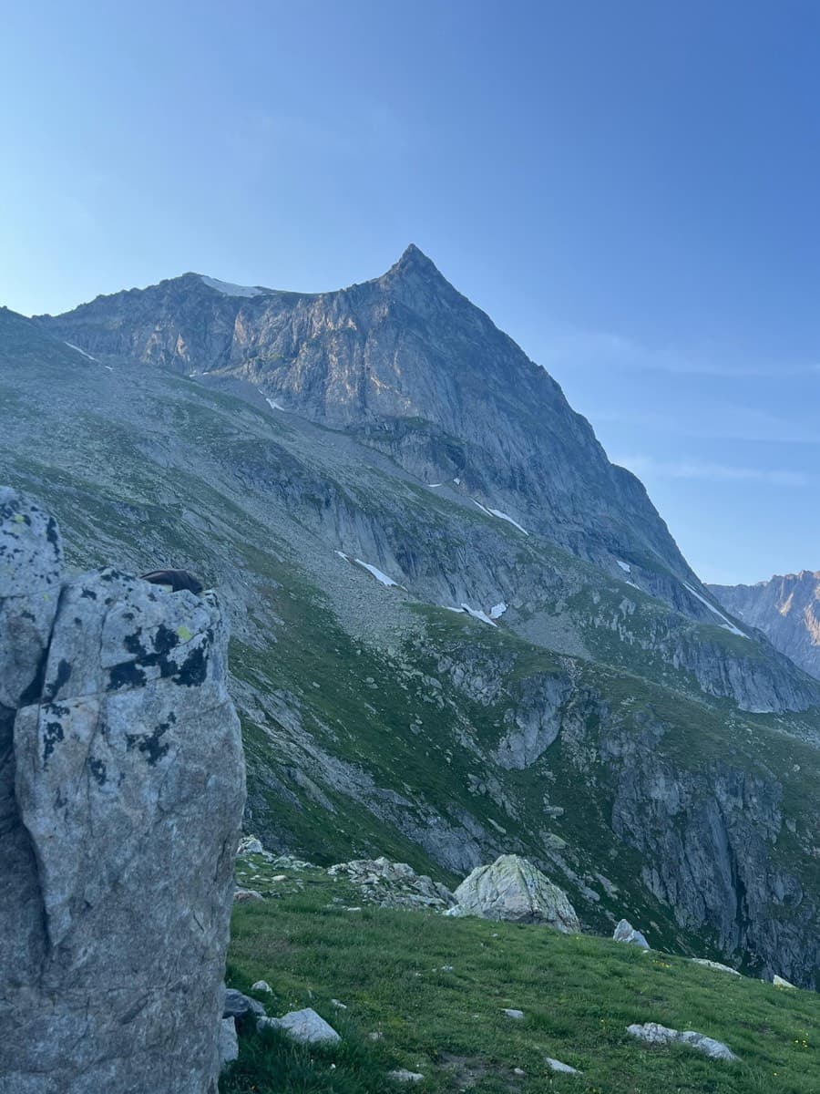
A view of the region, not this route's wall. The Wiwannihorn from near the hut; the east ridge is the right-hand skyline

Switzerland · Wiwanni (Baltschiedertal)

Salamander

Eight short pitches of 4b to 5a on compact, grippy gneiss slabs above the Wiwannihütte, finishing on a 2880 m summit. Pitches 3 and 4 climb a big steep slab that is the heart of the route. Chained belays and an abseil descent make it the gentlest introduction to the Wiwanni routes, though the starting pitches feel stiff for 4b.

5a8 pitches180 m
The Wiwannihorn from near the hut; the east ridge is the right-hand skyline

Switzerland · Wiwanni (Baltschiedertal)

Ostgrat (East Ridge)

A 17-pitch bolted ridge to a 3001 m summit. Three slab and wall pitches of 5a and 5b come first, then a long run of grade 3 and 4 on the crest that many parties climb moving together, with one fine 5a in the middle. A full mountain day: the summit ridge beyond the last bolt and the scrambling descent are part of it.

5b17 pitches400 m

Read the cautions

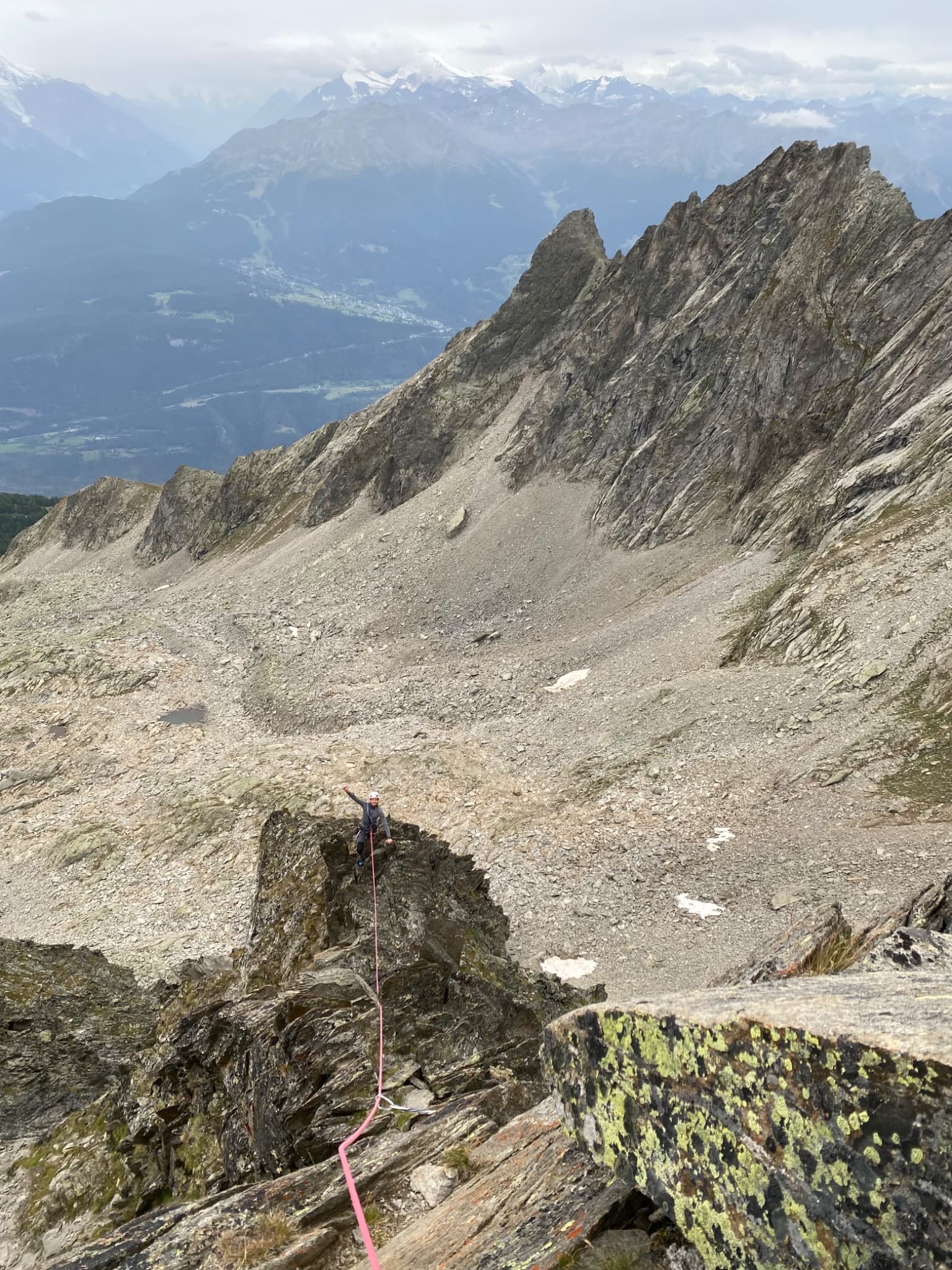
Looking down the upper ridge pitches of Gemstritt on the Wiwannihorn, with the Rhône valley beyond

Switzerland · Wiwanni (Baltschiedertal)

Gemstritt

The easiest bolted line to a 3001 m summit above the Wiwannihütte: compact slabs for the first half, then two pitches on a small ridge and a short scree walk to the cross. The thin slab move low down is the crux and feels harder than the old 4c grade. The down-climb of the west ridge is part of the day.

5a7 pitches250 m

A leader on the gneiss of Papillon, south-west face of the Wiwannihorn

Switzerland · Wiwanni (Baltschiedertal)

Papillon

A popular eight-pitch line straight up the south-west face to within minutes of the 3001 m summit. Most of it is grade 4 on good gneiss, with two short 5b steps that are closely bolted; the upper one can be avoided on the left. It stays in the shade well into the morning and feels a little more like a mountain route near the top.

5b8 pitches250 m

Around 6b · about 8 pitches

Similar elsewhere

The south-east side of the Wandflue above the Gastlosen pastures

Switzerland · Gastlosen

Toto le héros

One of the best routes at 6a to 6b in the Gastlosen: eight varied pitches of pocketed slab, short walls, pillars and water-drop rock on the south-east face of the Wandflue. The first pitch is the 6b crux and the steep, pocketed wall of pitch 7 is the highlight. A few grassy ledges link the good rock.

6b8 pitches250 m

Read the cautions

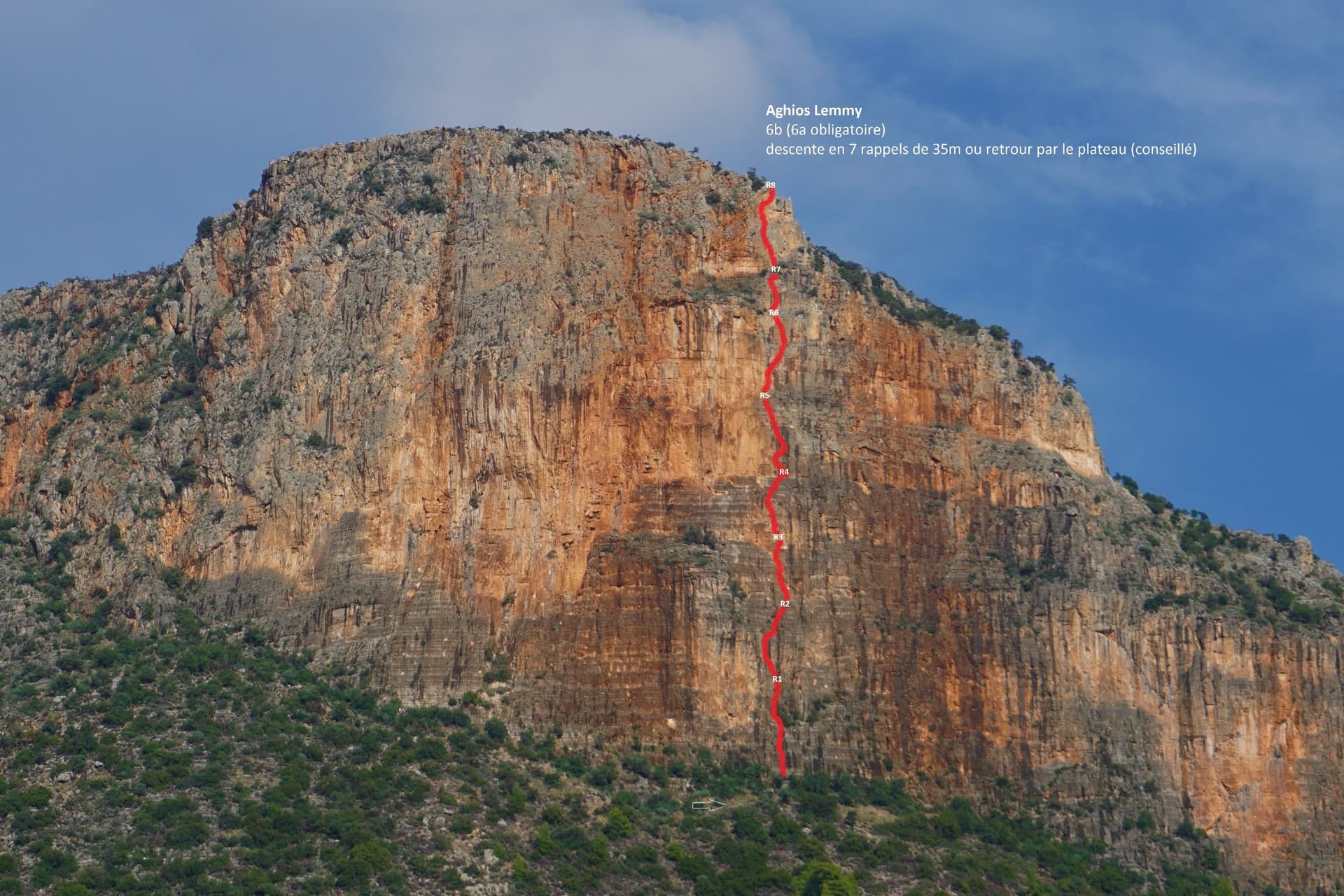
The Hospital / Red Rock buttress of Kokkinovrachos above Leonidio, with the line of Aghios Lemmy drawn in red.

Greece · Leonidio & Kyparissi

Aghios Lemmy

Short, mostly vertical pitches on beautiful multi-coloured limestone with varied climbing. It is sustained at 6a+/6b from P2 to the top. The route name is written at its base.

6b8 pitches160 m

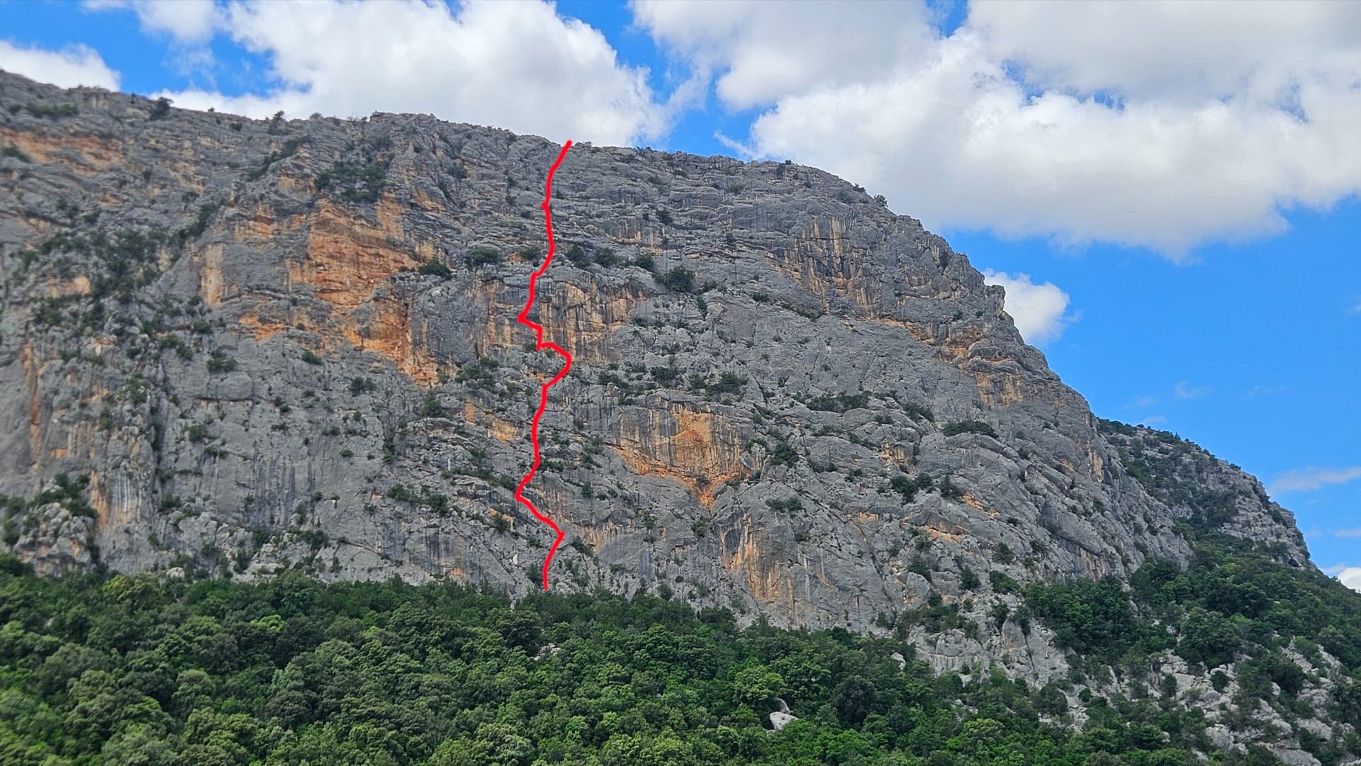
The east face of Monte Oddeu with the approximate line of L'Imbrago... Bello Stretto

Italy · Sardinia

L'Imbrago... Bello Stretto

Eight short, steep pitches up the grey and yellow east face of Monte Oddeu, sustained at 6a with two pitches of 6b. Sculpted, grippy rock that parties compare to the Verdon, with ledges that give comfortable belays. The hard move on pitch 5 can be aided.

6b8 pitches185 m

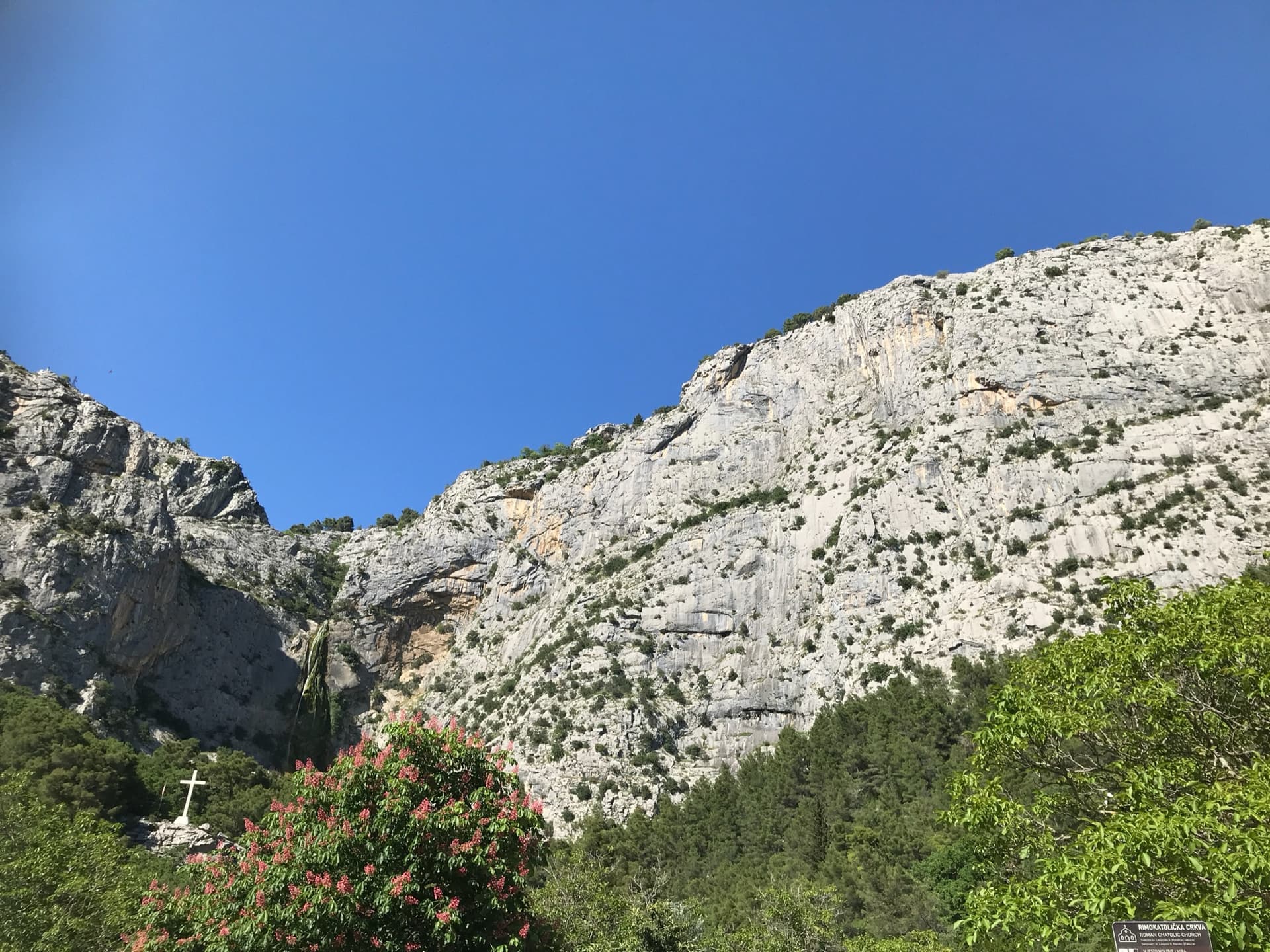
The Ilinac wall above the Cetina just upstream of Omiš, seen from the roadside chapel car park; the line of Stargate is not marked.

Croatia · Omiš

Stargate

A long, varied line of slabs, corners and ledgy traverses up the middle of Ilinac. MP and plezanje.net count the pitches differently (7 vs 8) because they split the short easy top pitches differently.

6b8 pitches235 m

Read the cautions

Compiled from published sources and last verified October 2026. Bolts, anchors and access change. Climbing is dangerous and you are responsible for your own decisions: check a current topo and read the disclaimer.