Multipitch Atlas

Papillon

Wiwannihorn – south-west face · Wiwanni (Baltschiedertal) · Switzerland

Bail with caveatsBolting confidence: high

A popular eight-pitch line straight up the south-west face to within minutes of the 3001 m summit. Most of it is grade 4 on good gneiss, with two short 5b steps that are closely bolted; the upper one can be avoided on the left. It stays in the shade well into the morning and feels a little more like a mountain route near the top.

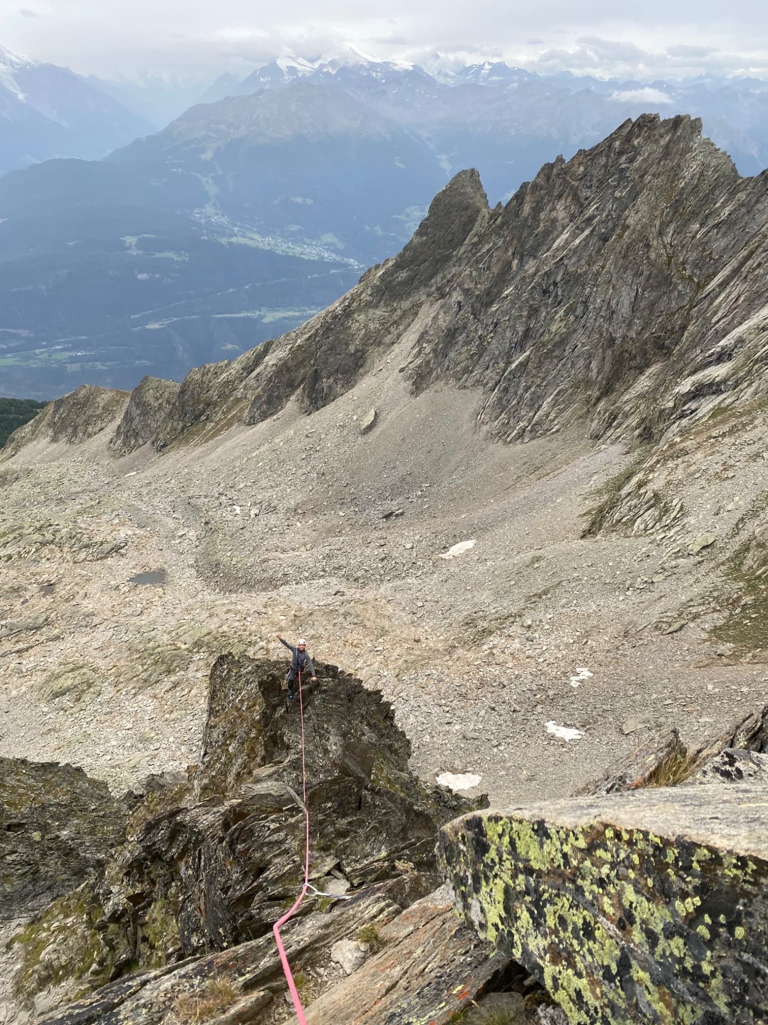
A leader on the gneiss of Papillon, south-west face of the WiwannihornPhoto: bibotte · CC BY-NC-ND 3.0

Photo

A leader on the gneiss of Papillon, south-west face of the WiwannihornPhoto: bibotte · CC BY-NC-ND 3.0
Hardest pitch
5b
Pitches
8
Length
250 m
Approach
50 min
Aspect
SW
South-west-facing
Rope
1×50 m

The route

Overview

Papillon takes the south-west face of the Wiwannihorn left of Gemstritt in eight pitches. The climbing is mostly grade 4 with two short passages of 5b, and the hut gives the obligatory grade as 4b because the upper crux can be turned on the left. It is one of the most travelled routes at Wiwanni and parties consistently describe it as very well bolted where it matters. From the last belay the summit is a few minutes away over scree, and the way down is the west ridge.

The climbing

Pitch by pitch

Pitches of Papillon
PitchGradeNotes
P14aSlab. A 2026 party found the bolts far apart for a first pitch climbed cold.
P24bThe belay is out to the right of the line, before a painted arrow telling you to turn right. A 2022 leader missed it and ran into the next pitch with heavy rope drag.
P35bThe first crux, with bolts close together. Extend the third bolt, or the rope can jam in a crack.
P44aLong but easy.
P54aLong but easy; camptocamp treats pitches 4 and 5 together.
P65bA short technical passage with well-placed bolts. It can be avoided on the left, but a 2020 report says that variant has no bolts.
P74bEasier ground, more mountain in character.
P84bTo the last belay; the summit is a few minutes up the scree.

Getting there

Approach

To the parking

Take the train to Ausserberg on the Lötschberg mountain line, or drive up from Visp. From the station the Wiwannihütte (2470 m) is a 4 h 30 walk. Most parties drive or take a taxi-bus (Taxi Zerzuben in Visp, or Taxi Yvonne in Ausserberg for small groups) up the forest road to Fuxtritt (1851 m), which saves 900 m of ascent and leaves about 1 h 30 on foot to the hut. The road beyond the village needs a permit: 5 CHF for the first day and 3 CHF for each further day, from the village shop, the parking machine in the upper village, or by app. Park on the verge above the timber yard at Fuxtritt and keep the turning place clear; a July 2026 party found the top parking closed for forestry work and parked lower. Camping and sleeping in vehicles are banned throughout the commune.

On foot · about 50 min

45 min to 1 h from the Wiwannihütte: follow the path north through the scree (snow early in the season) to the south-west face. Papillon starts a little left of Gemstritt and its name is clearly painted in blue. In June 2019 the start was buried under snow and took time to find.

Map of the walk-in

  • Crag
  • Parking

Loading map

The point marks the crag, not the exact start of the route.

Coordinates · crag

46.35495, 7.85620

Parking

46.32941, 7.85531

Fuxtritt, 1851 m, end of the permit road above Ausserberg (camptocamp waypoint 240991)

Point from camptocamp waypoint 39718 (Wiwannihorn summit)

For your phone or watch

Download GPX

Contains the route point and parking. Opens in most mapping apps and GPS watches.

Points are compiled from published sources, with the precision stated above. They were not surveyed on the ground: check them against a current topo.

Getting down

Descent

From the top, follow the blue-marked west ridge down to the col: easy but exposed down-climbing at grade II to III with a few bolts on the steeper steps. At the lowest point two bolted stations give two abseils of about 20 m to the scree or snow below the slab, and a cairned path leads back to the hut. Two parties can abseil side by side, as there are two sets of anchors. With two 50 m ropes one abseil reaches the bottom. A 2026 party took 1 h 15 for the ridge and abseils and 35 min more to the hut.

Retreat

Bailing off the route

Bail with caveats

All belays are linked, so a retreat by abseil from belay to belay looks feasible, but no source describes one and the pitch lengths are not published. Two of the middle pitches are described as long, so a single 50 m rope may not reach. Once high on the face it is quicker to finish and descend the west ridge.

Retreat from
Any belay in principle (inferred from the linked belays).
Point of no return
Not documented.
Carry
Two ropes to be sure of reaching each belay on the long pitches 4 and 5; a maillon or two in case a station has no ring.
Basis
Inferred from the route factsCamptocamp states only that all belays are linked; unlike its neighbours the hut gives no abseil advice for Papillon.

Partly inferred from the route facts

Safety

Hazards

  • The west-ridge descent is exposed scrambling at II to III that needs concentration; some parties rope up for the lower part.
  • Easy-to-miss belay at the end of pitch 2.
  • Bolts are well spaced on the easy pitches.
  • Snow at the foot of the face and below the abseils early in the season.

Sun and weather

Conditions

South-west face topping out near 3000 m; it stays in shade for much of the morning and can be cold at the start even in late July. The start can be under snow into mid-June. Dry and without snow from July in most recent reports. A 2026 party found a few loose stones early in the season.

Usual season · Jul to Sep

Sun on the wall · SW-facing

Working out the sunlit hours for this month.

  • January: not yet worked out
  • February: not yet worked out
  • March: not yet worked out
  • April: not yet worked out
  • May: not yet worked out
  • June: not yet worked out
  • July (usual season): not yet worked out
  • August (usual season): not yet worked out
  • September (usual season): not yet worked out
  • October: not yet worked out
  • November: not yet worked out
  • December: not yet worked out

Sun on the wallDaylight, wall in shade● Usual season

Estimated from the wall's aspect only. Ignores surrounding terrain, gullies and the wall's exact shape. Clock times are local to the wall (Central European time), for the 15th of each month.

Monthly climate averages for Wiwanni (Baltschiedertal), 1991-2020
MeasureJanFebMarAprMayJunJul (usual season)Aug (usual season)Sep (usual season)OctNovDec
Mean daily high °C−8−7−3−049121284−3−8
Mean daily low °C−15−14−11−7−3133−1−5−10−14
Rain days 1 mm or more121113131616161312121313

● marks the usual climbing season. Averages for 1991-2020 at about 2454 m. Area climate from Open-Meteo reanalysis. Temperatures are adjusted to the height of the crag; rain comes from a grid cell of about 10 to 25 km, and summer highs on sea cliffs can read a few degrees low. The wall and valley can differ. Data: Open-Meteo, CC BY 4.0.

What to carry

Gear

8 quickdraws and a single 50 m rope (hut topo and camptocamp). One or two long slings help on pitch 3 and on the ridge. Helmet. Ask the warden about snow early in the season.

Checklist

Quickdraws
8
Rope
1×50 m
Helmet
One each
Abseil device and prusik
The descent or the retreat involves abseiling
Maillons or spare karabiners
To leave behind if you retreat

Derived from the route data; check it against a current topo

From climbers

Reader reports

Reader reports are not being collected yet. Until they are, check a current topo and the local club or guidebook publisher for recent changes to Papillon.

Worth knowing

Tips

  • Climbing time is about 2 h 20 to 3 h; a 2019 party did it in 1 h 35.
  • Do not use the unbolted left-hand bypass of the upper 5b if you rely on the bolts.
  • Sits well with Salamander or the Schepfipfiler practice routes on a two-day hut visit.

Open questions

Where sources disagree

  • Pitch count: the hut topo and the Spanish camptocamp text show eight pitches (4a, 4b, 5b, 4a, 4a, 5b, 4b, 4b); the French camptocamp text lists seven rows. Eight is used.
  • Obligatory grade: the hut gives 5b (4b obl.) because the crux can be bypassed on the left; a 2020 blog says the bypass is unbolted.
  • Aspect: camptocamp tags the route S; the hut files it under the south-west face.
  • Pitch lengths are not published; 250 m is camptocamp's height of the difficulties.

Provenance

Sources

Same area

More in Wiwanni (Baltschiedertal)

All routes in Wiwanni (Baltschiedertal)
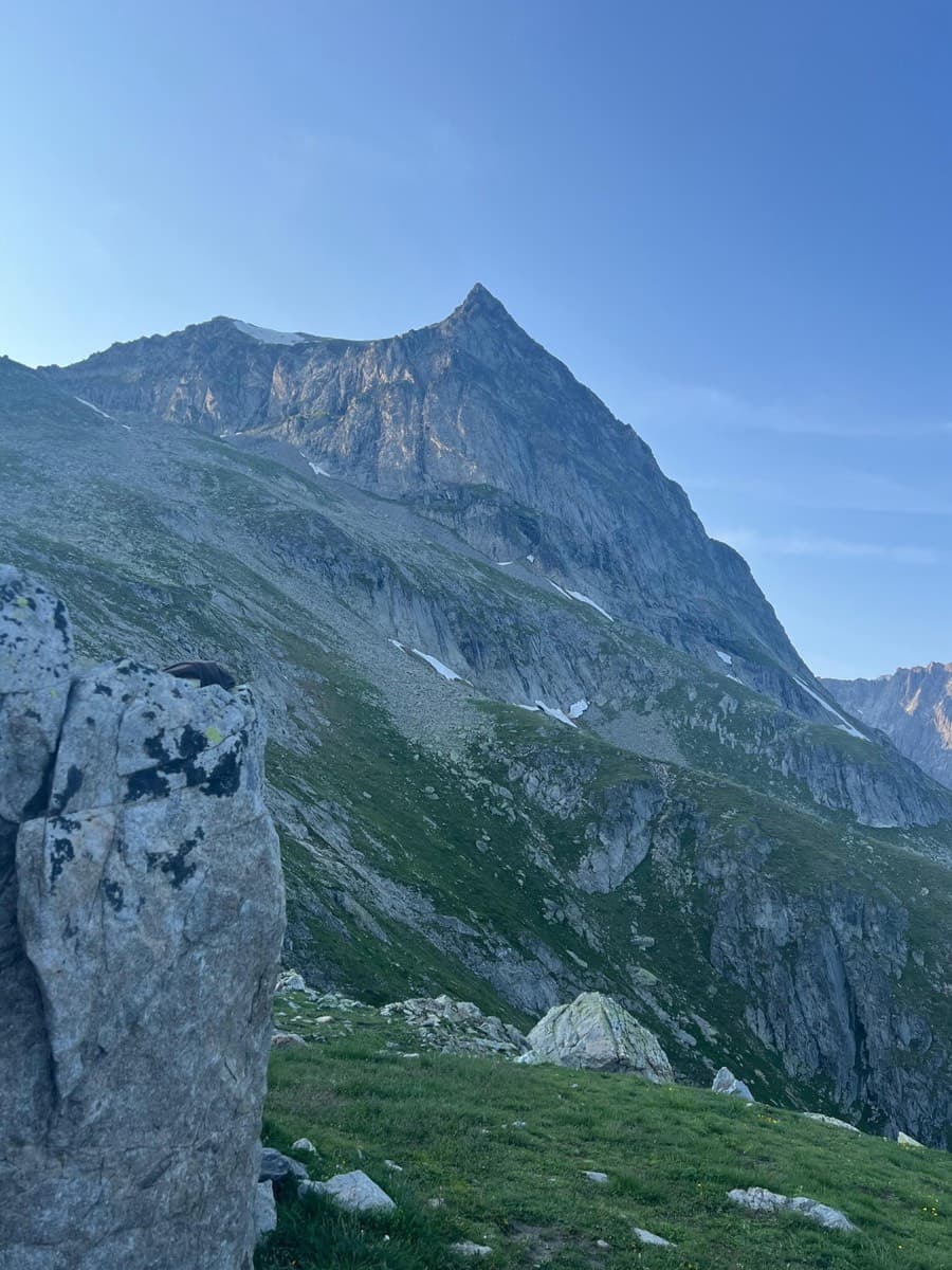
A view of the region, not this route's wall. The Wiwannihorn from near the hut; the east ridge is the right-hand skyline

Switzerland · Wiwanni (Baltschiedertal)

Salamander

Eight short pitches of 4b to 5a on compact, grippy gneiss slabs above the Wiwannihütte, finishing on a 2880 m summit. Pitches 3 and 4 climb a big steep slab that is the heart of the route. Chained belays and an abseil descent make it the gentlest introduction to the Wiwanni routes, though the starting pitches feel stiff for 4b.

5a8 pitches180 m
The Wiwannihorn from near the hut; the east ridge is the right-hand skyline

Switzerland · Wiwanni (Baltschiedertal)

Ostgrat (East Ridge)

A 17-pitch bolted ridge to a 3001 m summit. Three slab and wall pitches of 5a and 5b come first, then a long run of grade 3 and 4 on the crest that many parties climb moving together, with one fine 5a in the middle. A full mountain day: the summit ridge beyond the last bolt and the scrambling descent are part of it.

5b17 pitches400 m

Read the cautions

Looking down the upper ridge pitches of Gemstritt on the Wiwannihorn, with the Rhône valley beyond

Switzerland · Wiwanni (Baltschiedertal)

Gemstritt

The easiest bolted line to a 3001 m summit above the Wiwannihütte: compact slabs for the first half, then two pitches on a small ridge and a short scree walk to the cross. The thin slab move low down is the crux and feels harder than the old 4c grade. The down-climb of the west ridge is part of the day.

5a7 pitches250 m

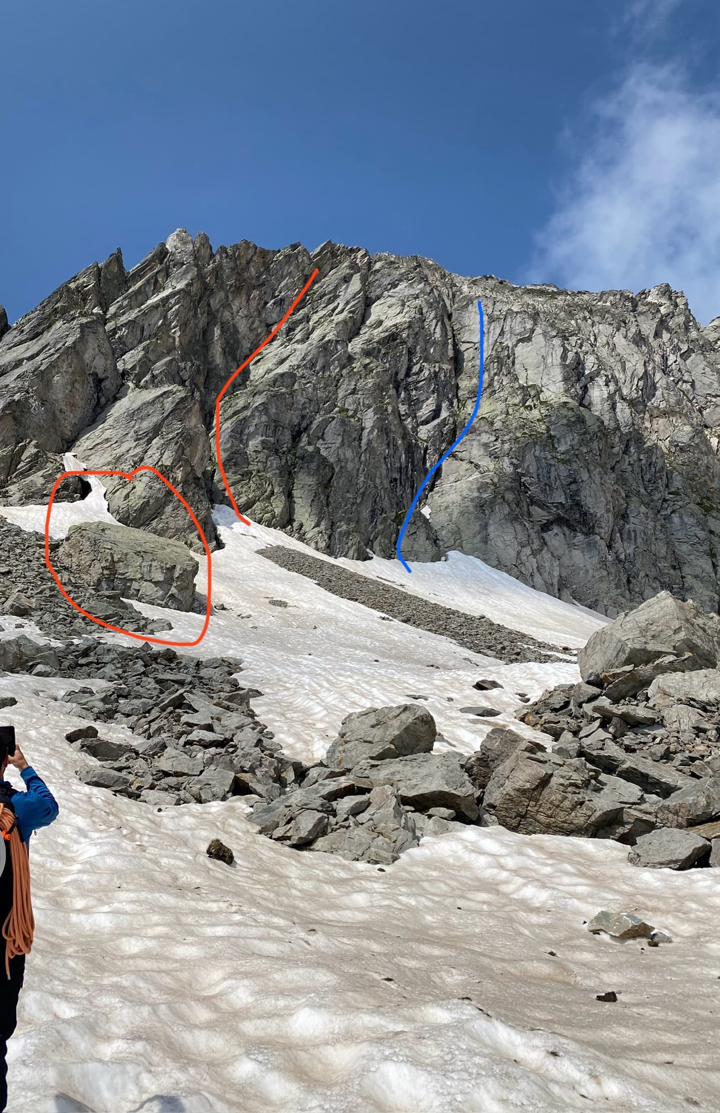
The start of Silbermantel on the Gross Öugstchummuhorn: red marks the big block and the route's corner line, blue the other line of corners to avoid

Switzerland · Wiwanni (Baltschiedertal)

Silbermantel

The only route that finishes directly on the 2924 m summit of the Gross Öugstchummuhorn. Structured slabs lead to an awkward chimney low down and two short, steep crux pitches of 5b+ and 5b near the top. The rock is solid but rounded, so you climb on your feet; the summit view of the Bietschhorn is the reward.

5b+8 pitches180 m

Around 5b · about 8 pitches

Similar elsewhere

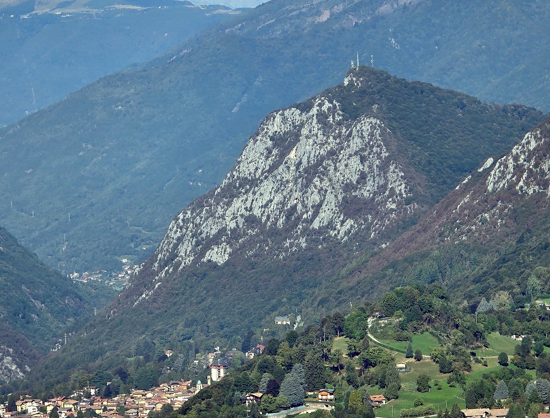
The south side of the Zucco dell'Angelone above Barzio, seen from the Zucco della Croce: the pale limestone spurs (speroni) that hold the multipitch routes run down from the antenna-topped summit. Condorpass is on the fourth spur; individual spurs are not labelled here.

Italy · Lecco & Valsassina

Condorpass

The first route opened on the Zucco dell'Angelone, following the natural line of the fourth spur by corners, cracks, a chimney and friction slabs. Eight varied pitches at 5a to 5b with an easy crest to finish. Never hard but never trivial either.

5b8 pitches220 m

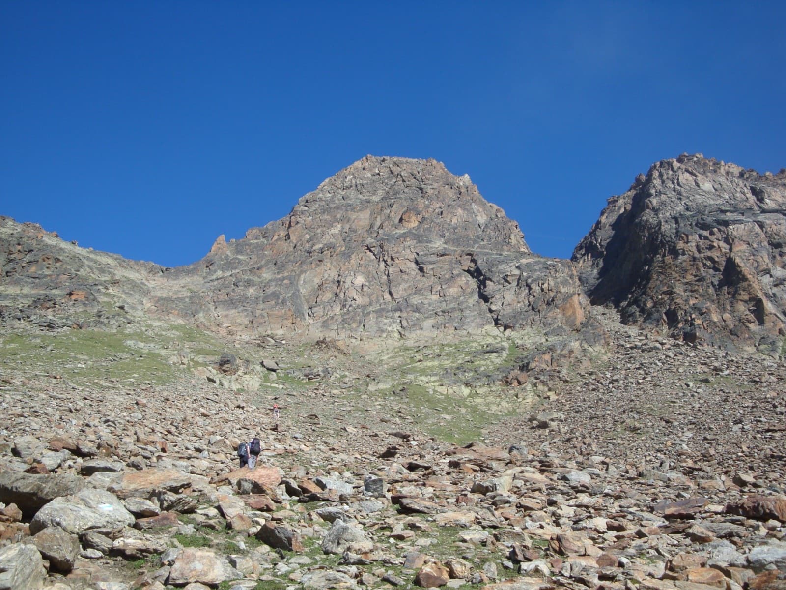
The Jegihorn (3206 m) from the approach above Kreuzboden. MaRoCa climbs a subsidiary ridge low on its south-east side; the line is not marked

Switzerland · Saas Valley

MaRoCa

A gentle half-day ridge route above Kreuzboden: eight short pitches on good gneiss, mostly easy, with three brief 5b passages that can be avoided on the right. It suits a first alpine multipitch or the afternoon you walk up to the hut. It does not reach a summit, and several parties find it a little short.

5b8 pitches205 m

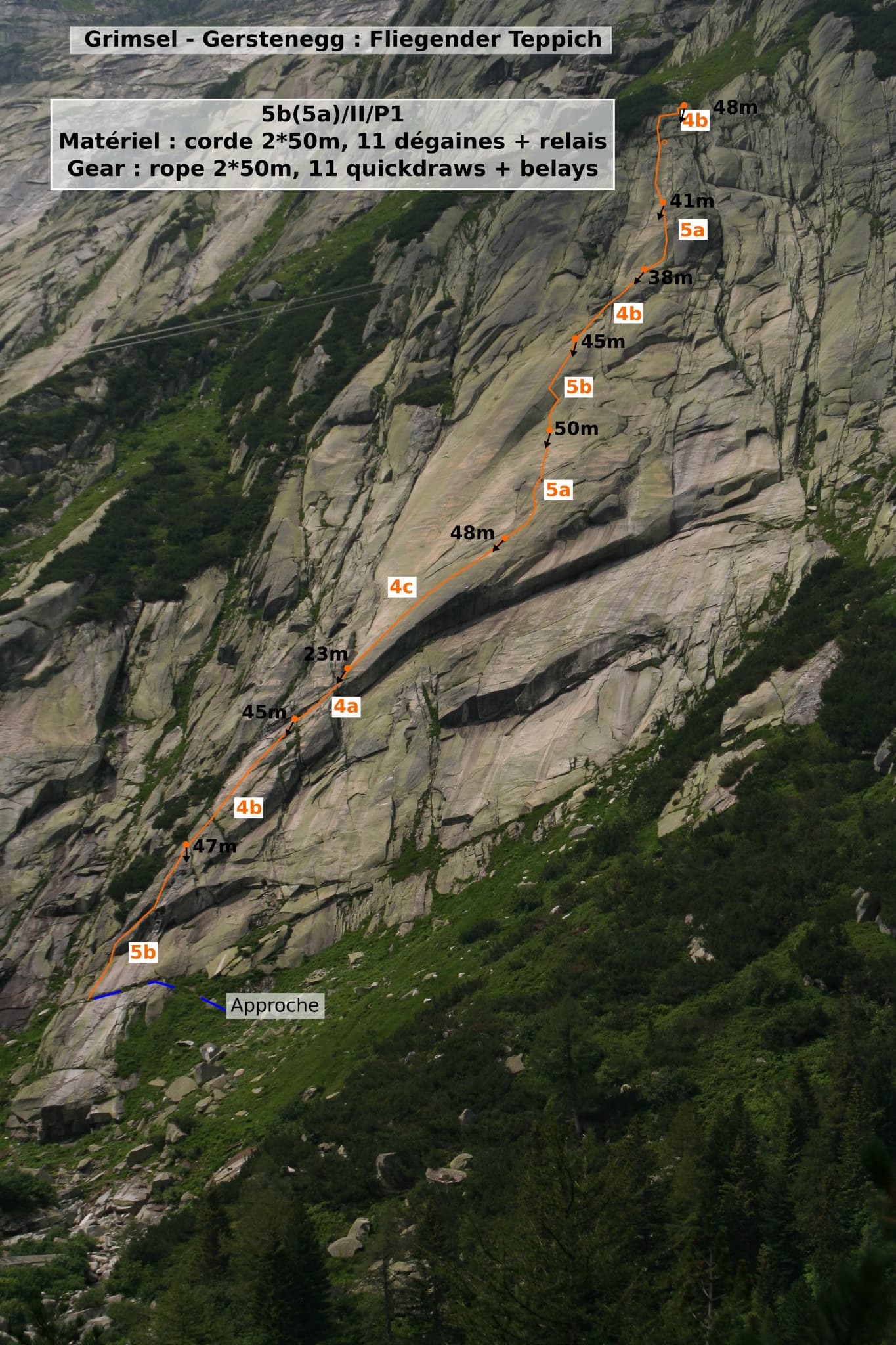
Photo-topo of Fliegender Teppich at Gerstenegg, with belays and pitch grades

Switzerland · Grimsel

Fliegender Teppich

The 'flying carpet': nine long pitches of sweeping, immaculate granite slab at the left end of the Gerstenegg, with a superb layback crack on pitch 4 and two short steeper steps. Very popular, quick and never strenuous; the difficulty is all in trusting your feet. The 5b step on pitch 1 goes at 4c with a pull on a bolt.

5b9 pitches385 m

The south side of the Aiguille d'Orny above the scree slope of the approach

Switzerland · Orny (Champex, Mont Blanc massif)

La Moquette

Nine pitches up a granite spur and the final tower of the Aiguille d'Orny to a 3150 m summit, on rough, cracked rock with superb friction. Two moves of 5b, the rest 4b and 4c, closely bolted since 2016 and easy enough to climb in boots. The three steep pitches on the summit tower are the highlight.

5b9 pitches250 m

Compiled from published sources and last verified October 2026. Bolts, anchors and access change. Climbing is dangerous and you are responsible for your own decisions: check a current topo and read the disclaimer.