Multipitch Atlas

Gemstritt

Wiwannihorn – south-west face · Wiwanni (Baltschiedertal) · Switzerland

Bail with caveatsBolting confidence: high

The easiest bolted line to a 3001 m summit above the Wiwannihütte: compact slabs for the first half, then two pitches on a small ridge and a short scree walk to the cross. The thin slab move low down is the crux and feels harder than the old 4c grade. The down-climb of the west ridge is part of the day.

Looking down the upper ridge pitches of Gemstritt on the Wiwannihorn, with the Rhône valley beyondPhoto: dereuxromain · CC BY-NC-ND 3.0

Photo

Looking down the upper ridge pitches of Gemstritt on the Wiwannihorn, with the Rhône valley beyondPhoto: dereuxromain · CC BY-NC-ND 3.0
Hardest pitch
5a
Pitches
7
Length
250 m
Approach
45 min
Aspect
SW
South-west-facing
Rope
1×50 m

The route

Overview

Gemstritt climbs the south-west face of the Wiwannihorn in seven pitches, most of them grade 3 and 4, with one harder slab pitch near the bottom. The lower half is on compact slabs and the last two pitches follow a small ridge; from the last belay you walk up scree to the 3001 m summit. It was rebolted in 2015 and is climbed often, including by club groups and beginners on their first alpine multipitch. You climb at nearly 3000 m and come down a scrambling ridge, so it is a mountain route, not a crag route.

The climbing

Pitch by pitch

Pitches of Gemstritt
PitchGradeNotes
P13cEasy slab to start. Camptocamp gives 3b; a 2024 party in mountain boots still found this first slab awkward.
P25aThe crux: a thin slab move. The hut topo gives 5a, camptocamp 4c. In 2024 a large flake in the first metres, directly above the belay, looked unstable; you can pass without using it.
P34c+More compact slab; 4c on camptocamp.
P43aEasy ground; 3b on camptocamp.
P54aSlab and steps; 4b on camptocamp.
P64aOnto the small ridge; 3b on camptocamp.
P73cAlong the ridge to the last belay; 3b on camptocamp. Easy scree leads from here to the summit.

Getting there

Approach

To the parking

Take the train to Ausserberg on the Lötschberg mountain line, or drive up from Visp. From the station the Wiwannihütte (2470 m) is a 4 h 30 walk. Most parties drive or take a taxi-bus (Taxi Zerzuben in Visp, or Taxi Yvonne in Ausserberg for small groups) up the forest road to Fuxtritt (1851 m), which saves 900 m of ascent and leaves about 1 h 30 on foot to the hut. The road beyond the village needs a permit: 5 CHF for the first day and 3 CHF for each further day, from the village shop, the parking machine in the upper village, or by app. Park on the verge above the timber yard at Fuxtritt and keep the turning place clear; a July 2026 party found the top parking closed for forestry work and parked lower. Camping and sleeping in vehicles are banned throughout the commune.

On foot · about 45 min

About 45 min from the Wiwannihütte. Take the path north through the scree (a snowfield early in the season) towards the south-west face. The start is about 100 m west (left) of the gully that splits the face in the middle; the route name is painted in blue at the foot. Papillon starts a little further left.

Map of the walk-in

  • Crag
  • Parking

Loading map

The point marks the crag, not the exact start of the route.

Coordinates · crag

46.35495, 7.85620

Parking

46.32941, 7.85531

Fuxtritt, 1851 m, end of the permit road above Ausserberg (camptocamp waypoint 240991)

Point from camptocamp waypoint 39718 (Wiwannihorn summit)

For your phone or watch

Download GPX

Contains the route point and parking. Opens in most mapping apps and GPS watches.

Points are compiled from published sources, with the precision stated above. They were not surveyed on the ground: check them against a current topo.

Getting down

Descent

From the top, follow the blue-marked west ridge down to the col: easy but exposed down-climbing at grade II to III with a few bolts on the steeper steps. At the lowest point two bolted stations give two abseils of about 20 m to the scree or snow below the slab, and a cairned path leads back to the hut. A July 2024 party had to abseil over a gap between rock and snow at the foot of the slab and found crampons and an axe very useful there. Allow about 2 h from summit to hut.

Retreat

Bailing off the route

Bail with caveats

The belays are bolted, but the hut states that abseiling the route is not recommended and no party reports doing it. From the lower slab pitches a retreat from belay to belay should be feasible; once on the upper ridge the normal way off is over the summit and down the west ridge.

Retreat from
The lower slab pitches (inferred).
Point of no return
Not documented; in practice the start of the ridge pitches.
Carry
Pitch lengths are not published, so a single 50 m rope may not reach between belays; carry maillons or cord in case the stations have no abseil rings.
Basis
Part stated, part inferredThe hut says abseiling the route is not recommended; the rest is inferred from the bolted belays and the route's shape.

Partly inferred from the route facts

Safety

Hazards

  • The descent is a grade II to III down-climb on an exposed ridge; a 2018 club party warns it can surprise people not used to ridges.
  • Early-season snow at the start and below the abseils: frozen snow made the final approach awkward in July 2018, and a 2024 party needed crampons and an axe below the abseils.
  • A loose flake reported at the start of pitch 2 in July 2024.
  • Abseiling the route is not recommended by the hut, so retreat gets harder the higher you are.

Sun and weather

Conditions

South-west face between about 2750 m and 3001 m. The hut season is summer; snowfields often lie at the foot of the face and below the descent abseils into mid-July (reports from June 2023 and July 2024, and frozen hard in July 2018). The slabs dry quickly. Afternoon storms are a real risk on a route that finishes on a summit.

Usual season · Jul to Sep

Sun on the wall · SW-facing

Working out the sunlit hours for this month.

  • January: not yet worked out
  • February: not yet worked out
  • March: not yet worked out
  • April: not yet worked out
  • May: not yet worked out
  • June: not yet worked out
  • July (usual season): not yet worked out
  • August (usual season): not yet worked out
  • September (usual season): not yet worked out
  • October: not yet worked out
  • November: not yet worked out
  • December: not yet worked out

Sun on the wallDaylight, wall in shade● Usual season

Estimated from the wall's aspect only. Ignores surrounding terrain, gullies and the wall's exact shape. Clock times are local to the wall (Central European time), for the 15th of each month.

Monthly climate averages for Wiwanni (Baltschiedertal), 1991-2020
MeasureJanFebMarAprMayJunJul (usual season)Aug (usual season)Sep (usual season)OctNovDec
Mean daily high °C−8−7−3−049121284−3−8
Mean daily low °C−15−14−11−7−3133−1−5−10−14
Rain days 1 mm or more121113131616161312121313

● marks the usual climbing season. Averages for 1991-2020 at about 2454 m. Area climate from Open-Meteo reanalysis. Temperatures are adjusted to the height of the crag; rain comes from a grid cell of about 10 to 25 km, and summer highs on sea cliffs can read a few degrees low. The wall and valley can differ. Data: Open-Meteo, CC BY 4.0.

What to carry

Gear

8 quickdraws and a single 50 m rope (hut topo and camptocamp). A few slings for the ridge and the descent. Helmet. Early in the season ask the hut warden whether you need an ice axe and crampons for the snowfields at the start and below the abseils.

Checklist

Quickdraws
8
Rope
1×50 m
Helmet
One each
Abseil device and prusik
The descent or the retreat involves abseiling
Maillons or spare karabiners
To leave behind if you retreat
Cord
Mentioned for retreat

Derived from the route data; check it against a current topo

From climbers

Reader reports

Reader reports are not being collected yet. Until they are, check a current topo and the local club or guidebook publisher for recent changes to Gemstritt.

Worth knowing

Tips

  • Papillon (5b) next door shares the descent and makes a slightly harder alternative if Gemstritt is busy.
  • A 2024 party took 5 h 30 hut to hut.
  • Ask the warden about snow before you leave the hut.

Open questions

Where sources disagree

  • Grade: the hut topo (2022 guidebook) gives 5a overall with pitches 3c, 5a, 4c+, 3a, 4a, 4a, 3c; camptocamp gives 4c overall with 3b, 4c, 4c, 3b, 4b, 3b, 3b. The hut grades are used, since they are newer and parties report the crux slab as thin.
  • Aspect: camptocamp tags the route S; the hut files it under the south-west face.
  • Pitch lengths are not published; the 250 m is camptocamp's height of the difficulties.

Provenance

Sources

Same area

More in Wiwanni (Baltschiedertal)

All routes in Wiwanni (Baltschiedertal)
A view of the region, not this route's wall. The Wiwannihorn from near the hut; the east ridge is the right-hand skyline

Switzerland · Wiwanni (Baltschiedertal)

Salamander

Eight short pitches of 4b to 5a on compact, grippy gneiss slabs above the Wiwannihütte, finishing on a 2880 m summit. Pitches 3 and 4 climb a big steep slab that is the heart of the route. Chained belays and an abseil descent make it the gentlest introduction to the Wiwanni routes, though the starting pitches feel stiff for 4b.

5a8 pitches180 m
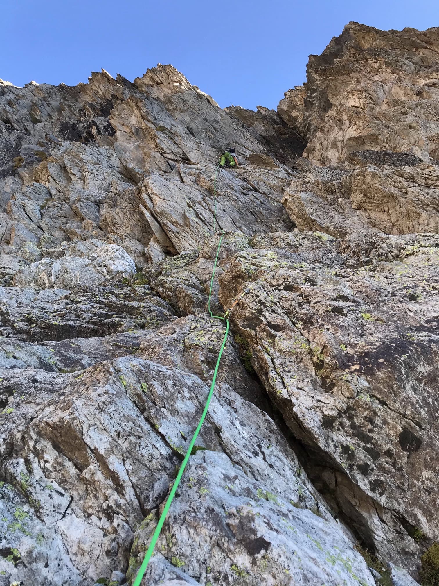
The Wiwannihorn from near the hut; the east ridge is the right-hand skyline

Switzerland · Wiwanni (Baltschiedertal)

Ostgrat (East Ridge)

A 17-pitch bolted ridge to a 3001 m summit. Three slab and wall pitches of 5a and 5b come first, then a long run of grade 3 and 4 on the crest that many parties climb moving together, with one fine 5a in the middle. A full mountain day: the summit ridge beyond the last bolt and the scrambling descent are part of it.

5b17 pitches400 m

Read the cautions

A leader on the gneiss of Papillon, south-west face of the Wiwannihorn

Switzerland · Wiwanni (Baltschiedertal)

Papillon

A popular eight-pitch line straight up the south-west face to within minutes of the 3001 m summit. Most of it is grade 4 on good gneiss, with two short 5b steps that are closely bolted; the upper one can be avoided on the left. It stays in the shade well into the morning and feels a little more like a mountain route near the top.

5b8 pitches250 m

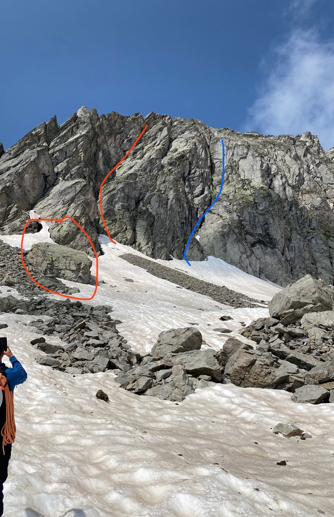
The start of Silbermantel on the Gross Öugstchummuhorn: red marks the big block and the route's corner line, blue the other line of corners to avoid

Switzerland · Wiwanni (Baltschiedertal)

Silbermantel

The only route that finishes directly on the 2924 m summit of the Gross Öugstchummuhorn. Structured slabs lead to an awkward chimney low down and two short, steep crux pitches of 5b+ and 5b near the top. The rock is solid but rounded, so you climb on your feet; the summit view of the Bietschhorn is the reward.

5b+8 pitches180 m

Around 5a · about 7 pitches

Similar elsewhere

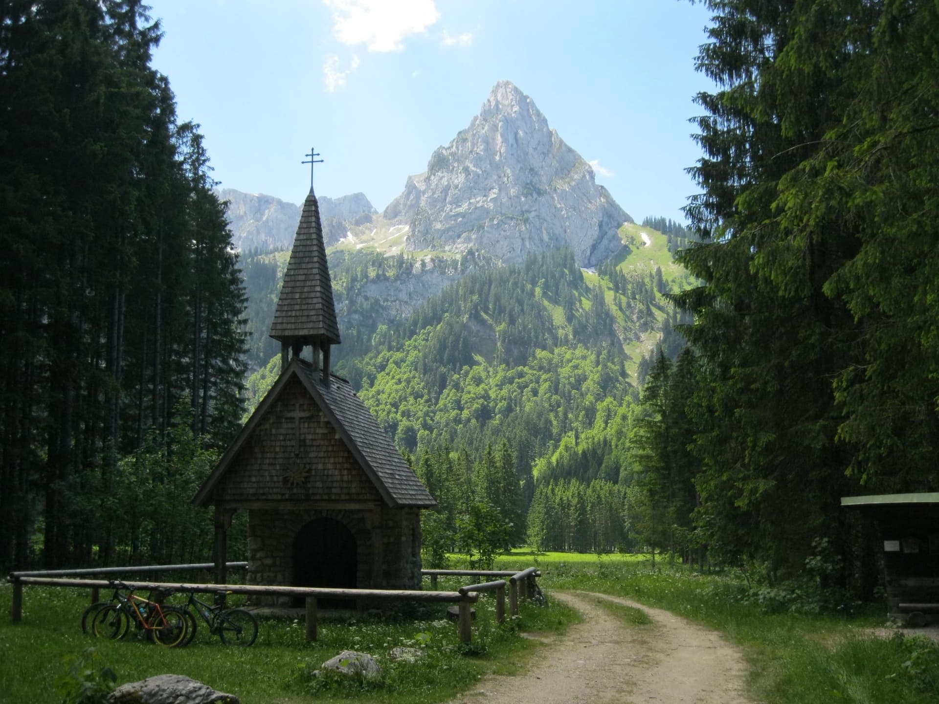
The Geiselstein from the Wankerfleck chapel, where the approach starts; the south face is on the far side

Germany · Ammergauer Alpen

Südverschneidung

The classic way up the Geiselstein, the 'Matterhorn of the Ammergau Alps'. After two scrappy pitches it follows a slabby corner system up the middle of the sunny south face: steep, exposed and on good rock, at about UIAA IV with one polished move of V at the start of the corner. The descent by the normal route needs as much care as the climb.

5a7 pitches260 m

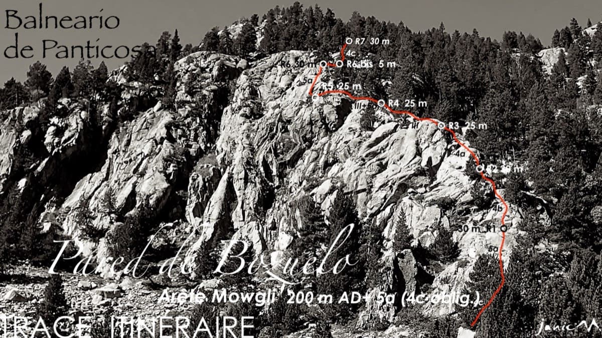
Line of the Arista Mowgli on the Pared de Bozuelo above Baños de Panticosa, with belays marked

Spain · Aragonese Pyrenees (Tena & Canfranc valleys)

Arista Mowgli

An easy granite ridge above the Bozuelo meadows, low-angled and never exposed. Two smooth friction slabs at 5a, on pitches 1 and 6, are the only real difficulties; the rest is steps and short walls at grade 3 to 4. Ideal for a first multipitch, and you can step off rightwards onto ledges almost anywhere.

5a7 pitches200 m

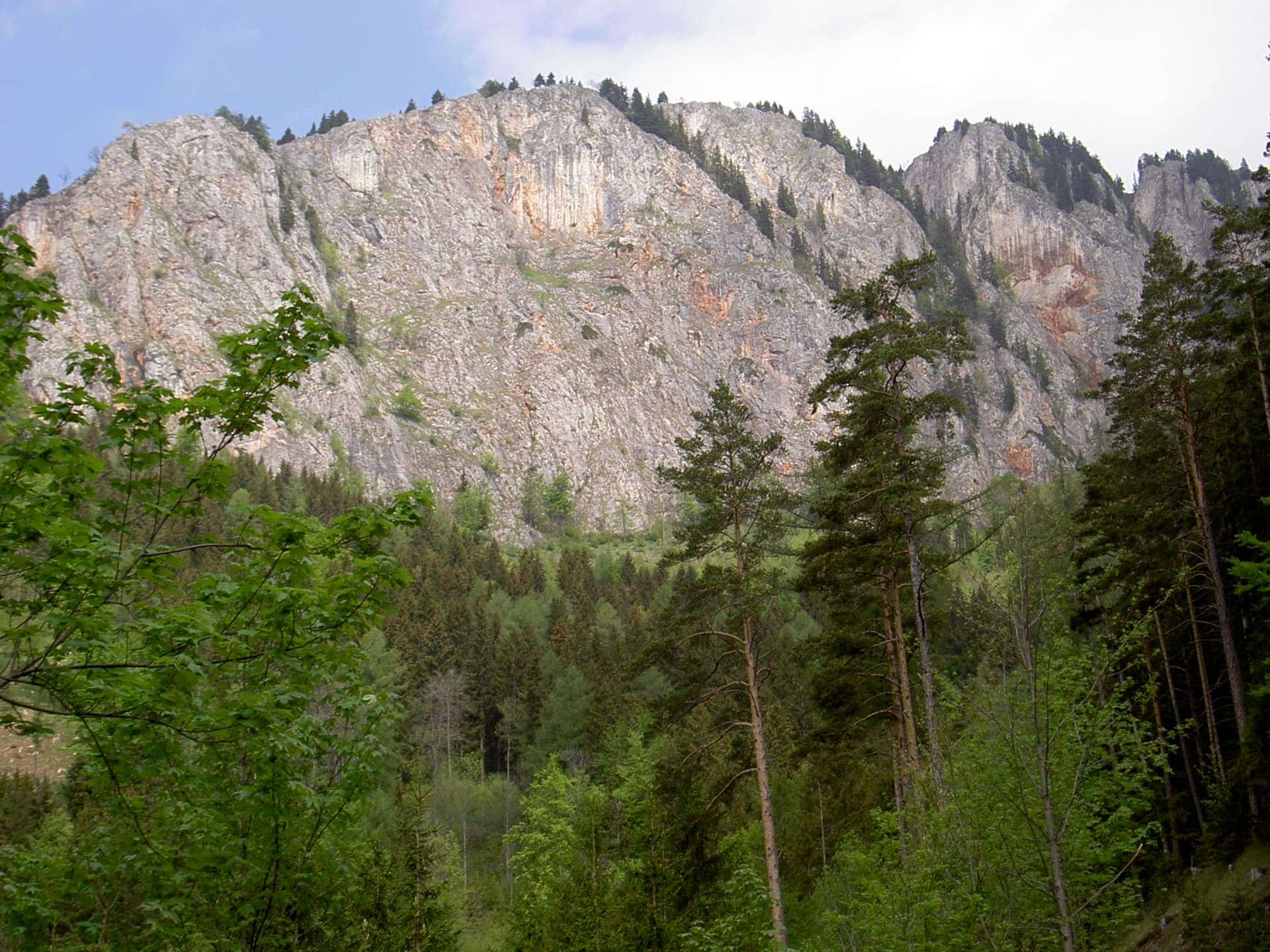
The Rote Wand above Tyrnau in the Grazer Bergland; Hühnerleiter follows the ridge at the left-hand end of the wall

Austria · Grazer Bergland

Hühnerleiter

An easy ridge route up the left-hand end of the Rote Wand, first climbed in 1982. The rock is completely solid and the climbing uneven in difficulty, mostly UIAA 4 with a few moves of 4+ and 5. The hand-traverse on the penultimate pitch is the highlight. Somewhat polished.

5a7 pitches225 m

Read the cautions

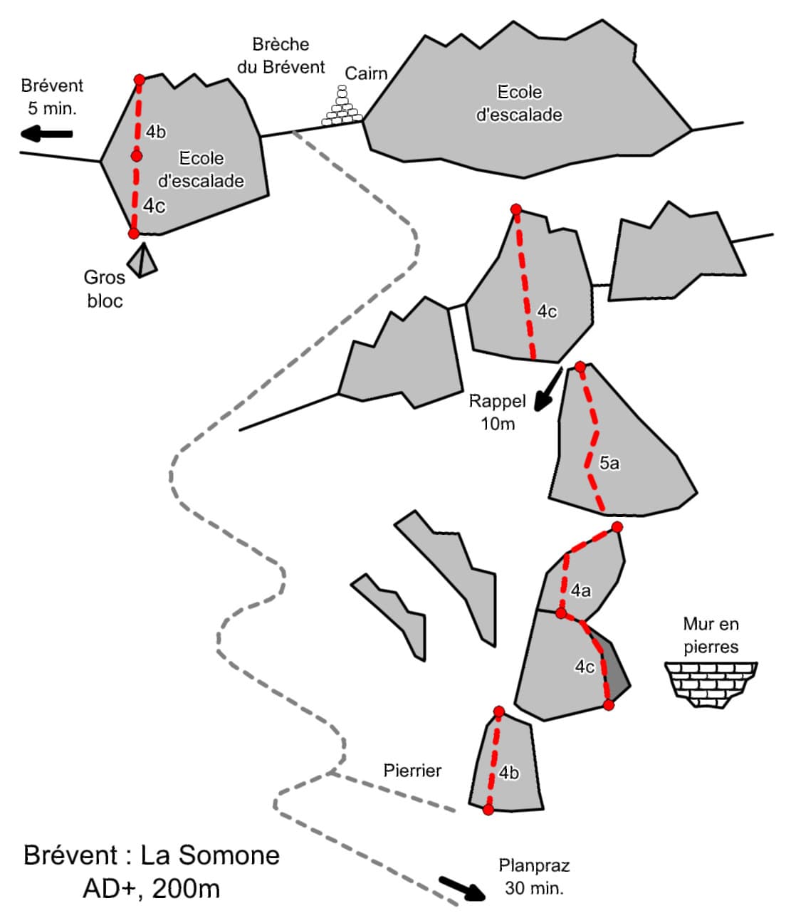
Sketch topo of La Somone at Le Brévent: the buttresses, the pitch grades, the 10 m abseil and the paths to Planpraz and to the Brévent summit

France · Chamonix valley

La Somone

Seven easy pitches up a string of separate buttresses east of the Brévent face, with a short walk between most of them and one 10 m abseil. Slabs, a corner-chimney and a couple of cracks at 4b to 5a, and you can walk off after almost any pitch. It is the usual first multipitch at the Brévent, so expect company.

5a7 pitches200 m

Compiled from published sources and last verified October 2026. Bolts, anchors and access change. Climbing is dangerous and you are responsible for your own decisions: check a current topo and read the disclaimer.