Multipitch Atlas

L'Imbrago... Bello Stretto

Monte Oddeu, east face (Dorgali) · Sardinia · Italy

Bail with caveatsBolting confidence: high

Eight short, steep pitches up the grey and yellow east face of Monte Oddeu, sustained at 6a with two pitches of 6b. Sculpted, grippy rock that parties compare to the Verdon, with ledges that give comfortable belays. The hard move on pitch 5 can be aided.

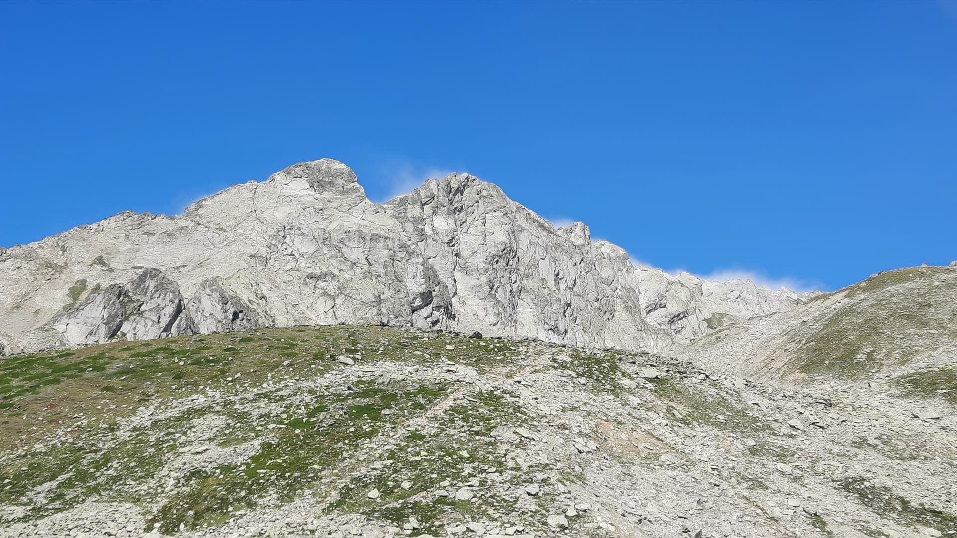
The east face of Monte Oddeu with the approximate line of L'Imbrago... Bello StrettoPhoto: flo01 · CC BY-NC-ND 3.0

Topo

The east face of Monte Oddeu with the approximate line of L'Imbrago... Bello StrettoPhoto: flo01 · CC BY-NC-ND 3.0
Hardest pitch
6b
Pitches
8
Length
185 m
Approach
20 min
Aspect
E
East-facing
Rope
2 half ropes
walk-off; 4 abseils if you retreat

The route

Overview

L'Imbrago... Bello Stretto takes the east face of Monte Oddeu between the two big orange patches, a few minutes along the wall from Alfredo Alfredo. Daniele Turco and Marco Marceddu bolted it from the ground up in 2015 and freed it in January 2016. The pitches are short and winding, mostly vertical walls on sharp grey limestone, with a yellow tufa wall and a roof traverse on pitch 5 and a fine wall and corner on pitch 6. Ledges and bushes break the exposure but make for good belays. Recent parties rate it among the best routes on the face.

The climbing

Pitch by pitch

Pitches of L'Imbrago... Bello Stretto
PitchGradeLengthBoltsNotes
P16a30 m9 boltsA vertical grey wall to easier ground, diagonally left, then a wall that starts well featured and becomes more compact. Belay under the overhangs, chained but not very comfortable. Two recent parties found it easy for 6a.
P26a25 m7 boltsTraverse left under the overhang on a compact slab with a thin move at the end, pull through the weakest point on good holds and climb a featured wall to a good terrace on the right. Chained abseil belay.
P36a30 m9 boltsStraight up sustained grey walls, harder at the top, to a small ledge under the yellow wall. Belay on rings. Felt a little harder than the first two pitches.
P45c15 m5 boltsStart rightwards, avoiding the block on the left, pull over a small yellow roof on good holds and continue up a juggy wall, then left to the comfortable middle ledge. Chained abseil belay.
P56b15 m7 boltsA short hard section just above the belay on a yellow wall of concretions, closely bolted and easy to aid. Reach the base of the roof and traverse well left along its lip, then pull over. Hanging belay on rings just above.
P66b20 m7 boltsUp to a big horizontal yellow flake, along it, then long moves on a fine compact grey wall diagonally to the obvious corner-crack that leads to a comfortable terrace. Chained abseil belay. The fourth bolt lacked its hanger in October 2024.
P76a20 m7 boltsEasy rock to the right, back left and straight up through several athletic little roofs, the last with a very long move, to a slab and a comfortable belay on rings. Fractured blocks: they seem stable but treat them carefully.
P86a+30 m9 boltsSustained walls of compact grey rock trending right, with a harder move at the last bolt, to the belay on the edge of the face. Chained abseil belay.

Getting there

Approach

To the parking

From Dorgali drive the SS125 south towards Baunei, pass the Cala Gonone turn-off and at the next junction turn right down a small road into the Oddoene valley, following signs for Gola di Gorropu, to the concrete bridge over the river (S'Abba Arva). There is a paid car park at the bridge. To park closer, cross the bridge, follow the track on the right for 500 m and take a narrowing track on the left that ends after less than 100 m, where there are a few spaces. After heavy rain in January 2026 the last 500 m were only just passable in an ordinary car.

On foot · about 20 min

20 minutes. From the end of the side track a path starts as an alternative way to the Surtana gate. After about 100 m leave the main path at a cairn (the junction is blocked by a few stones) and follow the barbed-wire fence faithfully until it ends against the wall of Monte Oddeu. Follow the track along the foot of the wall for 5 to 10 minutes to a small grassy clearing halfway between the two big yellow-orange areas of the face. The name is written at the base but is hard to read from a distance.

Map of the walk-in

  • Area: approximate
  • Parking

Loading map

The point is approximate: it marks the area, not the crag.

Coordinates · area: approximate

40.22745, 9.51251

Parking

40.22388, 9.51544

Car park at the concrete bridge over the Riu Flumineddu (camptocamp access waypoint 345401)

Point from gulliver.it map point for the route; it lies about 460 m from the bridge and may mark the parking spot rather than the base of the wall

For your phone or watch

Download GPX

Contains the route point and parking. Opens in most mapping apps and GPS watches.

Points are compiled from published sources, with the precision stated above. They were not surveyed on the ground: check them against a current topo.

Getting down

Descent

On foot, about 40 minutes. From the top go down the limestone pavement on the far side of the ridge, following the gully, at first on its right bank. Halfway down two cairned lines split: the left one joins the Surtana path and the Scala di Surtana back to the parking and is the recommended way; the right one is less convenient, with some easy downclimbing, and traverses back to the foot of the routes. Abseiling the route is possible in four (belay 8 to 6, 6 to 4, 4 to 2, 2 to the ground) using the chained belays, but two parties advise against it because of bushes and ledges that can trap the ropes.

Retreat

Bailing off the route

Bail with caveats

You can abseil the route from the chained belays (8 to 6, 6 to 4, 4 to 2, 2 to the ground), and gulliver.it lists that as an alternative descent. Parties advise against it as a routine descent because bushes and ledges can snag the ropes, and belays 3, 5 and 7 are on rings without chains.

Retreat from
Chained abseil belays at 2, 4, 6 and 8. Belays 4 and 6 are on good ledges.
Point of no return
None documented. From belay 6 upwards the walk-off from the top is quicker than abseiling.
Carry
Two ropes (the abseils skip a belay each time). Slings for the ring belays.
Basis
Stated in the sourcesThe abseil sequence and belay hardware are stated on gulliver.it and in a January 2025 report; camptocamp says to skip the unchained belays.

Safety

Hazards

  • A missing hanger was reported on the fourth bolt of pitch 6 in October 2024, at a point that is not easy. Later reports do not mention it; a spare 10 mm hanger with nut and a 17 mm spanner weigh little.
  • Bolting is described on gulliver.it as safe but 'airy', with obligatory climbing of about 6a to 6a+ between bolts outside the aidable section of pitch 5.
  • Fractured blocks on pitch 7 and a block to avoid at the start of pitch 4.
  • Ropes can jam in the vegetation if you abseil the route.
  • The wall is in full sun until midday.

Sun and weather

Conditions

East to south-east facing, base at about 500 m. In the sun in the morning and in shade from early afternoon (about 13:30 in early January). Reports are from January, February, April, May and October; parties climbed in T-shirts in January. Too hot in summer. The rock is very rough.

Usual season · Mar to May, Oct to Nov

Sun on the wall · E-facing

Working out the sunlit hours for this month.

  • January: not yet worked out
  • February: not yet worked out
  • March (usual season): not yet worked out
  • April (usual season): not yet worked out
  • May (usual season): not yet worked out
  • June: not yet worked out
  • July: not yet worked out
  • August: not yet worked out
  • September: not yet worked out
  • October (usual season): not yet worked out
  • November (usual season): not yet worked out
  • December: not yet worked out

Sun on the wallDaylight, wall in shade● Usual season

Estimated from the wall's aspect only. Ignores surrounding terrain, gullies and the wall's exact shape. Clock times are local to the wall (Central European time), for the 15th of each month.

Monthly climate averages for Sardinia, 1991-2020
MeasureJanFebMar (usual season)Apr (usual season)May (usual season)JunJulAugSepOct (usual season)Nov (usual season)Dec
Mean daily high °C141417202530343428241815
Mean daily low °C77911151922221916129
Rain days 1 mm or more9910118433771010

● marks the usual climbing season. Averages for 1991-2020 at about 100 m. Area climate from Open-Meteo reanalysis. Temperatures are adjusted to the height of the crag; rain comes from a grid cell of about 10 to 25 km, and summer highs on sea cliffs can read a few degrees low. The wall and valley can differ. Data: Open-Meteo, CC BY 4.0.

What to carry

Gear

10 quickdraws. Gulliver.it lists two half ropes and slings to link the belays that are on rings rather than chains. Cams are not needed: one 2024 party carried them unused, though a 2026 party thought a few small ones could reassure in places. Helmet.

Checklist

Quickdraws
10
Rope
2 half ropes (walk-off; 4 abseils if you retreat)
Helmet
One each
Abseil device and prusik
The descent or the retreat involves abseiling
Slings
Mentioned for retreat

Derived from the route data; check it against a current topo

From climbers

Reader reports

Reader reports are not being collected yet. Until they are, check a current topo and the local club or guidebook publisher for recent changes to L'Imbrago... Bello Stretto.

Worth knowing

Tips

  • Both 6b pitches have aidable cruxes according to a 2026 party, but you still need to climb 6a to 6a+ between the bolts.
  • The pitches are short but too winding to link comfortably.
  • Allow about 4 hours on the route; a party in May 2026 took just over 5 hours car to car.
  • Take the left-hand cairned line on the walk-off.

Open questions

Where sources disagree

  • Length: 185 m of climbing on gulliver.it (which matches the pitch lengths), 200 m on camptocamp.
  • Protection: 'excellent, cams unused' (2024), 'always safe and sufficient, though a small cam can be a relief' (2026), 'safe but obligatory and airy' (gulliver.it description). All agree every pitch and belay is bolted.
  • Rope: gulliver.it lists two half ropes; no source gives a length. The longest pitch is 30 m and the abseils between alternate belays are up to about 55 m by the pitch lengths.

Provenance

Sources

Same area

More in Sardinia

All routes in Sardinia
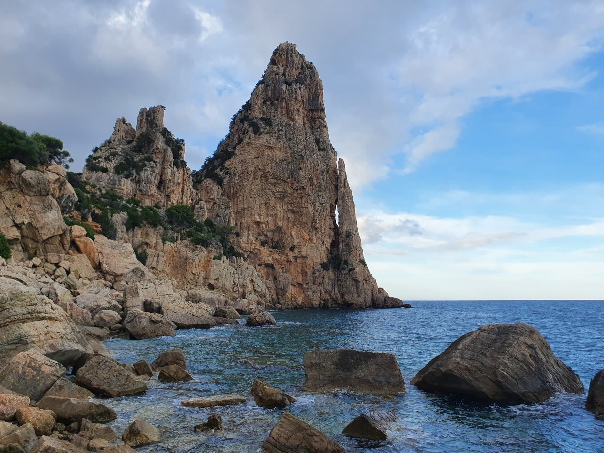
Pedra Longa, the 128 m limestone tower on the Baunei coast, seen from the shoreline rocks at its foot.

Italy · Sardinia

Marinaio di Foresta

An airy, mostly left-rising traverse that spirals round the Pedra Longa sea stack to its summit, on water-runnelled grey walls and pocketed white rock right above the sea. It has become one of the most popular routes in Sardinia, so expect queues.

6a+7 pitches190 m

Committing
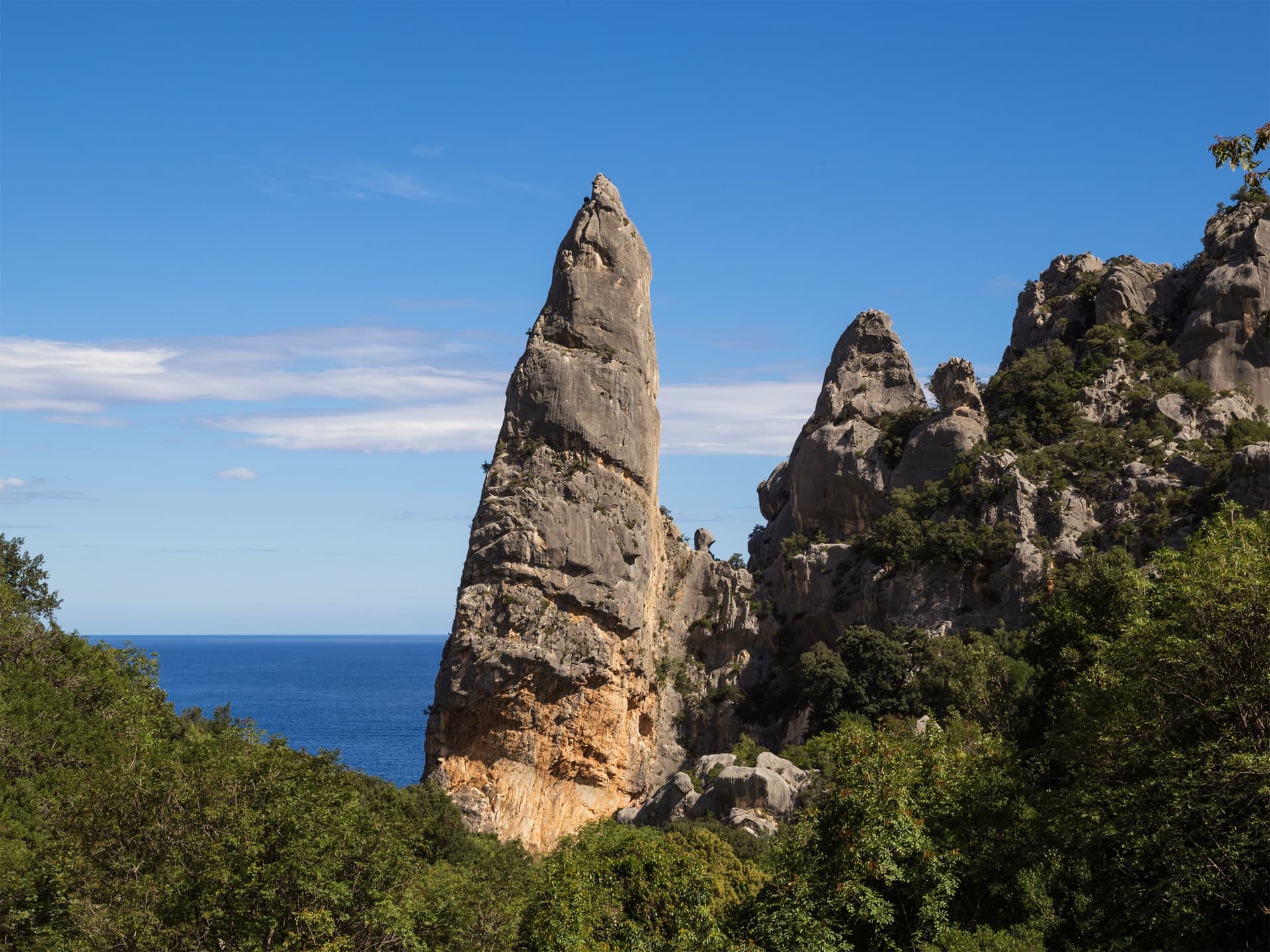
The Aguglia di Goloritzè, the 140 m limestone spire above Cala Goloritzè, seen from the approach path with the Gulf of Orosei behind.

Italy · Sardinia

Easy Gymnopédie

This is the easiest way to the top of Sardinia's iconic 140 m pinnacle above Cala Goloritzè. Short technical bulges and walls lead to a fine slab finish, and the harder overhangs can be aided. Gulliver splits it into 4 pitches; camptocamp gives 5. Check seasonal access rules for Cala Goloritzè before going.

6b5 pitches150 m

Read the cautions

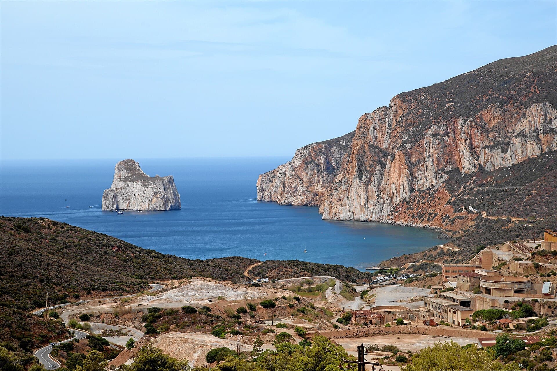
The orange limestone cliffs of Masua (right) above the old mine workings, with the Pan di Zucchero sea stack offshore.

Italy · Sardinia

L'Italia Liberata

A short but superb sea-cliff route on beautifully sculpted limestone in an incredible setting near Pan di Zucchero. Corners and an airy pillar lead to a steep, rounded 6a wall. Camptocamp rates it 'great'.

6a4 pitches120 m

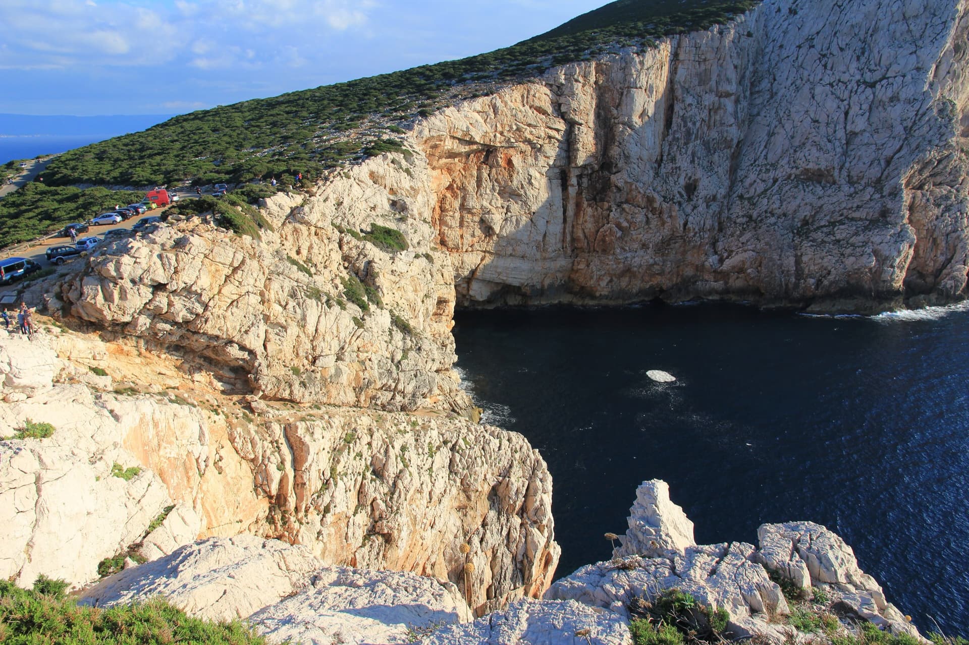
The limestone sea cliffs of Capo Caccia below the Foradada viewpoint car park, dropping straight into the sea.

Italy · Sardinia

Powaqqatsi

The easiest line on the Capo Caccia sea cliff: six pitches of 4b to 4c on pocketed, sharply sculpted limestone above the open sea. You abseil in from the top and climb out. The first two pitches are vegetated; the climbing proper starts on the pitch 3 slab.

4c6 pitches145 m

Read the cautionsCommitting

Around 6b · about 8 pitches

Similar elsewhere

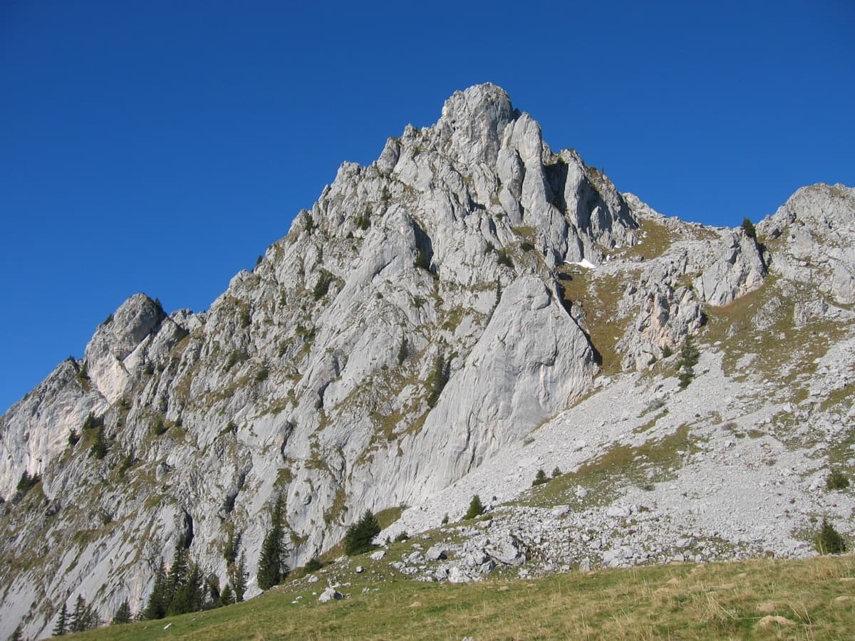
The south-east side of the Wandflue above the Gastlosen pastures

Switzerland · Gastlosen

Toto le héros

One of the best routes at 6a to 6b in the Gastlosen: eight varied pitches of pocketed slab, short walls, pillars and water-drop rock on the south-east face of the Wandflue. The first pitch is the 6b crux and the steep, pocketed wall of pitch 7 is the highlight. A few grassy ledges link the good rock.

6b8 pitches250 m

Read the cautions

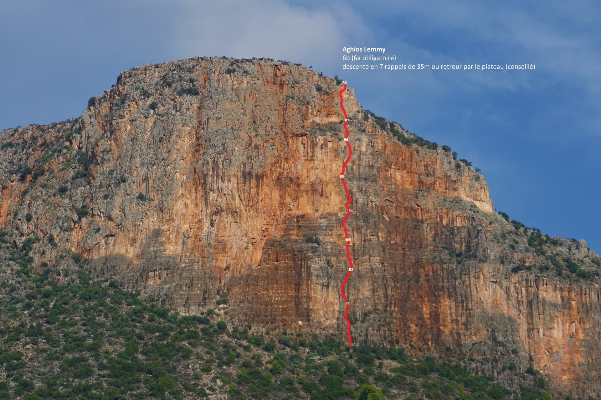
The Hospital / Red Rock buttress of Kokkinovrachos above Leonidio, with the line of Aghios Lemmy drawn in red.

Greece · Leonidio & Kyparissi

Aghios Lemmy

Short, mostly vertical pitches on beautiful multi-coloured limestone with varied climbing. It is sustained at 6a+/6b from P2 to the top. The route name is written at its base.

6b8 pitches160 m

The Klein and Gross Öugstchummuhorn seen from the approach to the Wiwannihütte

Switzerland · Wiwanni (Baltschiedertal)

Im Licht und Schatten

Eight short, varied pitches on the Gross Öugstchummuhorn. Three slab pitches lead to a steep, athletic 6a+ through a series of bulges and a tricky, exposed 6b traverse near the top. In the afternoon the pitches alternate between sun and shade, which gave the route its name.

6b8 pitches185 m

The Ilinac wall above the Cetina just upstream of Omiš, seen from the roadside chapel car park; the line of Stargate is not marked.

Croatia · Omiš

Stargate

A long, varied line of slabs, corners and ledgy traverses up the middle of Ilinac. MP and plezanje.net count the pitches differently (7 vs 8) because they split the short easy top pitches differently.

6b8 pitches235 m

Read the cautions

Compiled from published sources and last verified October 2026. Bolts, anchors and access change. Climbing is dangerous and you are responsible for your own decisions: check a current topo and read the disclaimer.