Multipitch Atlas

Poème à Lou

Le Brévent (Aiguilles Rouges) · Chamonix valley · France

Bail not documentedBolting confidence: high

Five long, steep and technical pitches up the south face of the Brévent, finishing beside the cable-car station. Sustained 6a+ to 6b wall climbing on small edges where reading the line is the main difficulty, with one short 6c+ traverse that has a fixed rope. Parties call it one of the best routes of its grade in the Aiguilles Rouges.

Photo-topo of Poème à Lou on the south face of Le Brévent by Hervé Thivierge, with pitch grades and the cable-car station at the topPhoto: Hervé Thivierge · CC BY-SA 3.0

Topo

Photo-topo of Poème à Lou on the south face of Le Brévent by Hervé Thivierge, with pitch grades and the cable-car station at the topPhoto: Hervé Thivierge · CC BY-SA 3.0
Hardest pitch
6c+
Pitches
5
Length
220 m
Approach
25 min
Aspect
S
South-facing
Rope
1×50 m
walk-off

The route

Overview

Poème à Lou takes the steep south face directly below the Brévent summit station, right of La Fin de Babylone. You walk down the Couloir Bellin from the top and climb back to the lift. Four of the five pitches are long and continuous: a slab with a small overhang, a superb vertical wall on edges that arcs leftwards, a steep pitch through small roofs, and the traverse into a corner with the route's one hard move. The last pitch is easier, along a slabby crest. The grades are firm, and camptocamp recommends a margin because the 6a+ pitches are fully earned.

The climbing

Pitch by pitch

Pitches of Poème à Lou
PitchGradeLengthNotes
P16a+45 mA slab on small, varied holds with a small overhang, technical and sustained. Two threads, then the first bolt 10 to 15 m above the plaque on easy ground (about grade 3). It is 49 m from the plaque to the belay on the ledge below the big slab, so start from the upper thread. Allow for rope drag with two extended quickdraws. One 2026 party graded it 6b.
P26a+40 mA superb vertical wall on small edges, continuous and technical, climbed in a wide arc. Traverse left at the end to a bolt belay on a comfortable ledge. The chained glue-in belay higher up, and another chained belay half-way up the slab, belong to other routes. A 2026 party noted a hollow-sounding flake.
P36b30 mA steep pitch: turn the first small roof, easier ground, then a harder finish over a bulge. Use the lower belay; the upper chained one is La Fin de Babylone.
P46c+50 mTraverse left to reach a corner. One technical move of 6c+, or use the fixed rope over 4 m (6a+ and A0). A few moves of 6b follow, then the rest is sustained 6a, similar to pitch 2. Shorter climbers step down to find edges.
P55c50 mEasier slabs along the line of a crest, with a little lichen and three or four loose stones. A new route, Soleil levant, arrives from the left here with belays side by side; a 2025 party nearly followed it.

Getting there

Approach

To the parking

From Chamonix take the Planpraz gondola and the Brévent cable car to the top (pay car park at the lower station above the church; shuttle bus from the centre). The first cabin reached the top at about 8:35 in September 2026.

On foot · about 25 min

From the summit go down into the Couloir Bellin, passing the start of the Voie Frison-Roche and following the foot of the Brévent face. The path is steep and exposed in places. Lower down, a traversing track leads to fixed ropes on the right; the first is worn. Do not stop at the first route you meet on the right (a ring at its foot): continue to a large metal plaque with the route name. The first belay is a little higher, on a thread with a green cord. Parties took 25 minutes; the Thivierge topo says 30.

Map of the walk-in

  • Crag

Loading map

The point marks the crag, not the exact start of the route.

Coordinates · crag

45.93393, 6.83783

Point from camptocamp waypoint 39717 (Le Brévent summit)

For your phone or watch

Download GPX

Contains the route point. Opens in most mapping apps and GPS watches.

Points are compiled from published sources, with the precision stated above. They were not surveyed on the ground: check them against a current topo.

Getting down

Descent

From the top of the last pitch a path reaches the Brévent cable car in 3 to 5 minutes.

Retreat

Bailing off the route

Bail not documented

Retreat is not documented. The belays are bolted but not chained, the pitches are 30 to 50 m, and pitches 2 and 4 traverse leftwards, so abseiling would need two ropes and gear left behind. The foot of the route is at the bottom of the Couloir Bellin, which you would have to climb back up to reach the lift.

Retreat from
Not known. The first two belays are on ledges (inferred from the pitch descriptions).
Point of no return
Not documented. After the pitch 4 traverse, finishing up the 5c last pitch to the cable car is likely to be simpler than descending (inferred).
Carry
Two ropes and maillons or cord if you want the option to abseil; the route is normally climbed on a single 50 m rope.
Basis
Inferred from the route factsNo source mentions abseiling or retreat; the assessment comes from the pitch lengths, the traverses and the unchained belays described on camptocamp.

Partly inferred from the route facts

Safety

Hazards

  • The approach down the Couloir Bellin is steep and exposed, with worn fixed ropes, and can hold snow early in the season.
  • Rock off the line is not cleaned: in September 2026 a climber who strayed sideways on pitch 1 pulled off a block and fell.
  • A hollow flake on pitch 2 and a few loose stones on pitch 5.
  • Bolts are spaced on long pitches and the climbing between them is obligatory at 6a+.
  • The fixed rope on the pitch 4 crux may be worn.
  • Several lines share the face: chained glue-in belays belong to La Fin de Babylone and a Piola route, and Soleil levant crosses near the top.

Sun and weather

Conditions

South facing between about 2300 m and 2525 m; it can be hot, but the altitude helps. Early in the season snow can linger in the Couloir Bellin and make the approach delicate. The route depends on the Brévent lifts, so the season is the summer lift season. A September 2026 party climbed above a sea of cloud that started below the face.

Usual season · Jun to Sep

Sun on the wall · S-facing

Working out the sunlit hours for this month.

  • January: not yet worked out
  • February: not yet worked out
  • March: not yet worked out
  • April: not yet worked out
  • May: not yet worked out
  • June (usual season): not yet worked out
  • July (usual season): not yet worked out
  • August (usual season): not yet worked out
  • September (usual season): not yet worked out
  • October: not yet worked out
  • November: not yet worked out
  • December: not yet worked out

Sun on the wallDaylight, wall in shade● Usual season

Estimated from the wall's aspect only. Ignores surrounding terrain, gullies and the wall's exact shape. Clock times are local to the wall (Central European time), for the 15th of each month.

Monthly climate averages for Chamonix valley, 1991-2020
MeasureJanFebMarAprMayJun (usual season)Jul (usual season)Aug (usual season)Sep (usual season)OctNovDec
Mean daily high °C−4−31481315151281−4
Mean daily low °C−12−11−8−5−04663−1−7−11
Rain days 1 mm or more131213141919181715131414

● marks the usual climbing season. Averages for 1991-2020 at about 2011 m. Area climate from Open-Meteo reanalysis. Temperatures are adjusted to the height of the crag; rain comes from a grid cell of about 10 to 25 km, and summer highs on sea cliffs can read a few degrees low. The wall and valley can differ. Data: Open-Meteo, CC BY 4.0.

What to carry

Gear

14 quickdraws, two of them extendable for pitch 1. A 50 m rope is only just long enough. Camptocamp suggests carrying 5 m of 9 mm cord to replace the fixed rope on pitch 4 if it is worn and you need it. Helmet.

Checklist

Quickdraws
14
Rope
1×50 m (walk-off)
Helmet
One each
Maillons or spare karabiners
To leave behind if you retreat
Cord
Mentioned for retreat

Derived from the route data; check it against a current topo

From climbers

Reader reports

Reader reports are not being collected yet. Until they are, check a current topo and the local club or guidebook publisher for recent changes to Poème à Lou.

Worth knowing

Tips

  • Warm up before starting: pitch 1 is sustained from the first bolt.
  • Parties report 3 to 5 hours on the route.
  • With several parties on the last pitch, use the left-hand belay and leave the right-hand one for those behind.

Open questions

Where sources disagree

  • Length: 220 m on camptocamp, 200 m on the Thivierge topo.
  • Quickdraws: 14 (camptocamp) or 13 (Thivierge). Approach: 25 minutes reported in 2026, 30 minutes on the Thivierge topo.
  • Pitch 4 is shown as 6a on the Thivierge topo, with the fixed rope or 6c+ marked at its start; camptocamp grades the whole pitch 6c+ (6a+ and A0).
  • Pitch 1: 6a+ on camptocamp and Thivierge; a 2026 party logged it as 6b and 50 m. Pitch 3: 6b, or 6b to 6b+ for the same party.
  • First bolt: 10 m above the plaque (camptocamp) or about 15 m (a 2026 report).

Provenance

Sources

Same area

More in Chamonix valley

All routes in Chamonix valley
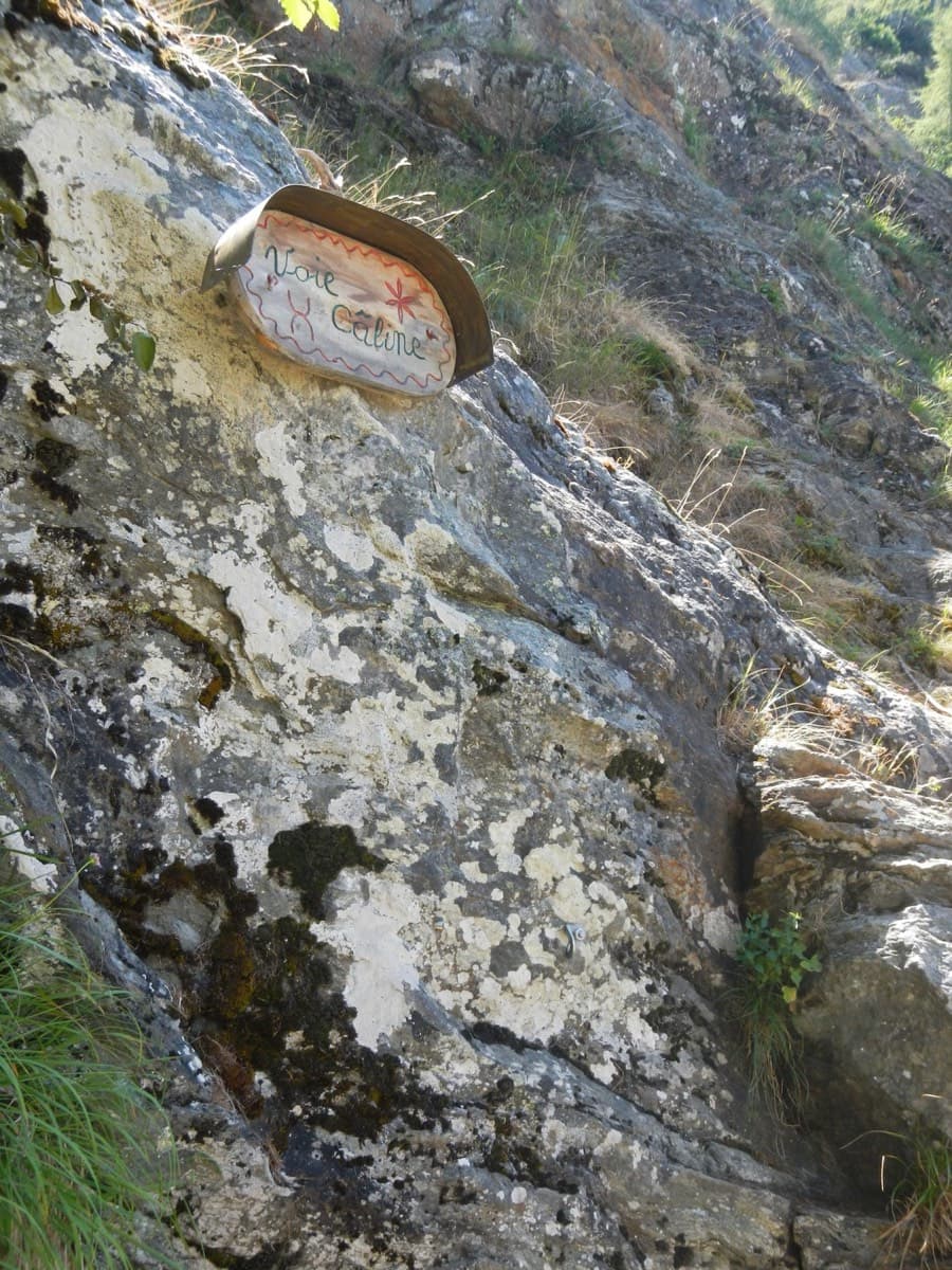
The painted sign marking the start of the Voie Câline on the Rocher des Mottets

France · Chamonix valley

Voie Câline

Nineteen very short pitches of easy slab above Les Bois, never harder than 4b and bolted like a climbing school. It is the standard first multipitch of the Chamonix valley, long enough to feel like a real outing and finishing at a mountain café with a view of the Mer de Glace.

4b19 pitches260 m
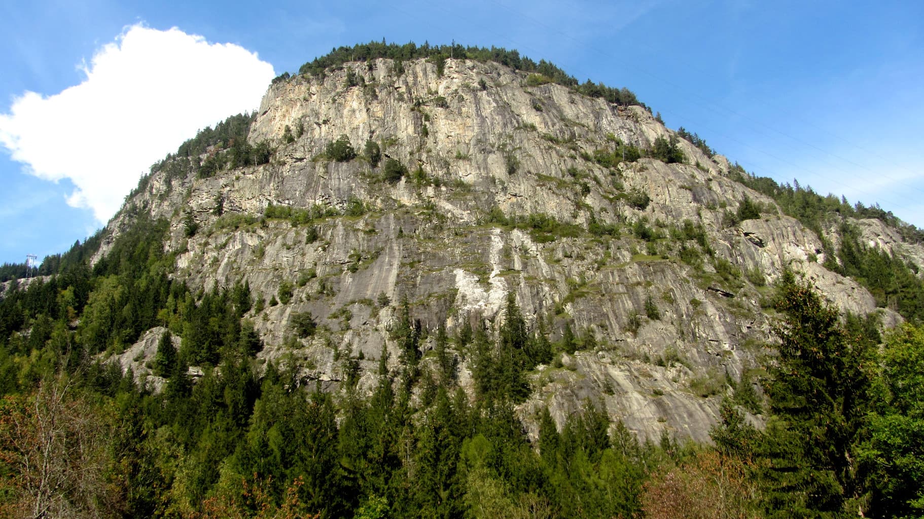
The gneiss slabs of Les Chéserys beside the Lac Blanc path, with the pinnacle of the Aiguillette d'Argentière and the village of Argentière below; the Voie Jaune is on these slabs, its exact position is not marked.

France · Chamonix valley

Voie Jaune

A short, friendly slab route on the sunny gneiss of the Chéserys, facing the Mont Blanc range. Five pitches with one vertical step of 4c, chain belays and an abseil descent make it a standard introduction to multipitch climbing.

4c5 pitches150 m

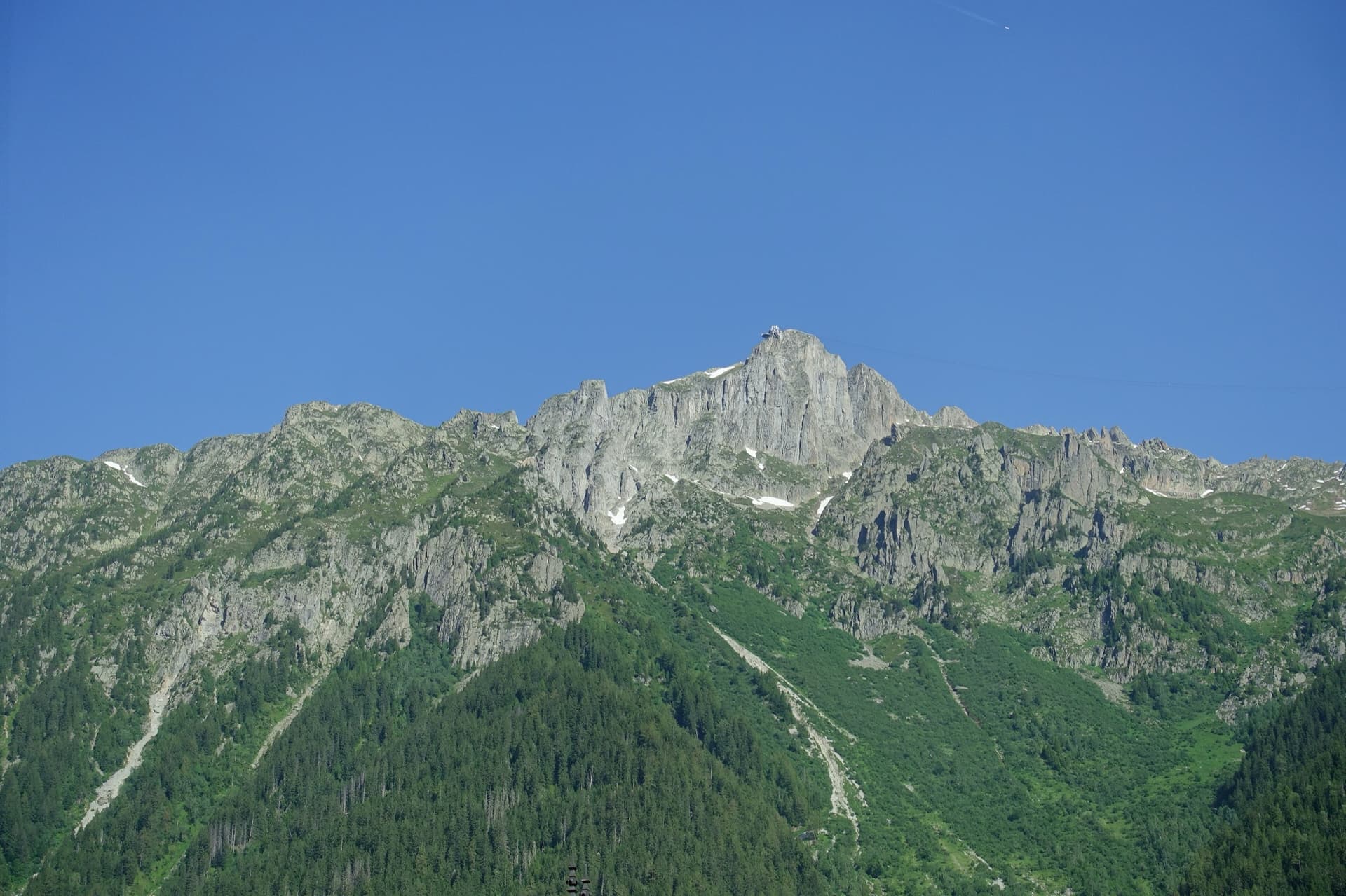
The summit of Le Brévent and the rock face beneath its cable-car station, seen from the Chamonix valley; the Voie Frison-Roche climbs this south-east face, the exact line is not marked.

France · Chamonix valley

Voie Frison-Roche

The great classic of the Aiguilles Rouges: six varied pitches of gneiss, ten minutes downhill from the Brévent cable car and finishing at its top station, with Mont Blanc opposite. The crux is a short, physical corner crack and the last pitch is a long, clean corner. It is extremely popular.

6a+6 pitches200 m

The Barberine cliff above the spruce forest at Vallorcine; Méduse climbs this wall, the line is not marked.

France · Chamonix valley

Méduse

A direct line up the big south-facing slabs of Barberine: three pitches of friction slab to warm up, then steeper, technical walls on small holds. The two top pitches are graded 6b+ and 6c+ if you step round the bolts and 7a if you climb straight up them; 6c is obligatory.

7a7 pitches230 m

Around 6c+ · about 5 pitches

Similar elsewhere

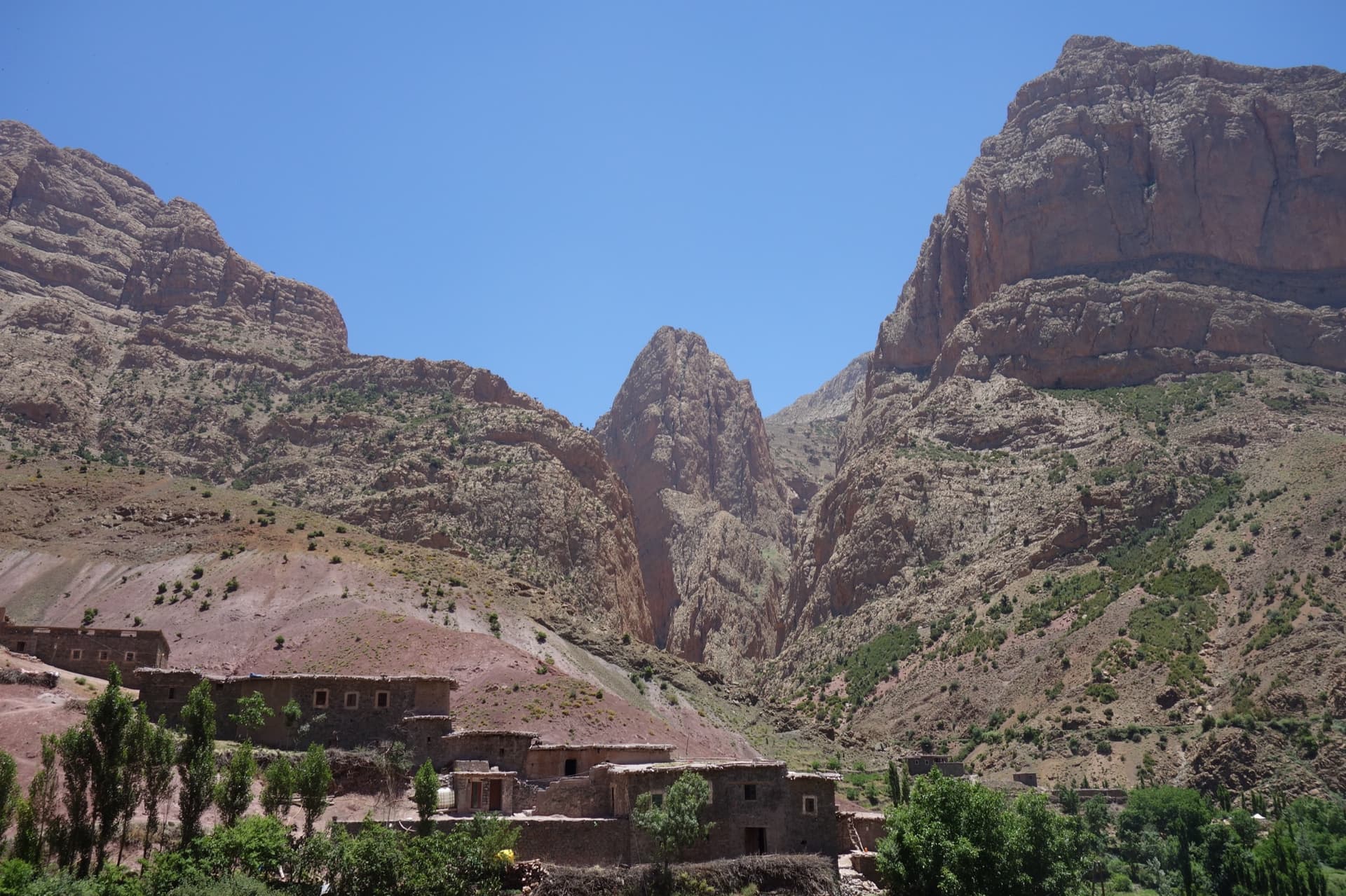
Taghia village beneath the pointed tower of the Taoujdad (centre), with the Oujdad massif at the right; the west face is the tower's right-hand flank, turned towards the Oujdad.

Morocco · Taghia

Champion du Maroc

Five pitches on new, very rough red rock just right of Au nom de la Réforme. The first three are steep, fingery and continuous with one short crux each; the last two are much easier. The original grades are 7a+, 7a and 6c+, now widely thought generous, and the cruxes are bolted closely enough to pull through.

6c+5 pitches200 m

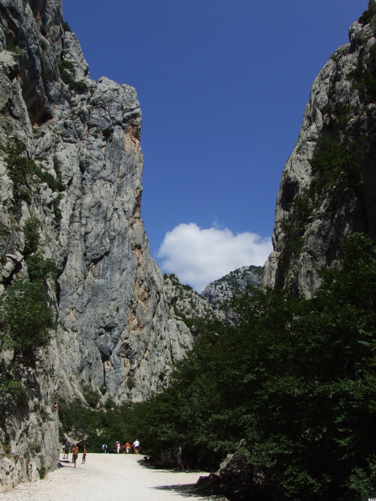
A view of the region, not this route's wall. The limestone walls of the Velika Paklenica canyon near its entrance.

Croatia · Paklenica

Bears on Toast

Two hard pitches up the water-worn slabs of the Stup, then two easy ones to finish. Pitch 1 pulls through a big roof on a hand crack; pitch 2 climbs the famous deep water grooves and ends on a holdless slab that many find the hardest part. bergsteigen.com calls the combination the best line on the Stup.

6c+4 pitches120 m

A view of the region, not this route's wall. The limestone gate of the Cetina at Omiš, seen across the river mouth; the town's crags, Stomorica among them, are on cliffs like these.

Croatia · Omiš

Pipeline

A 2024 line up the detached needle, nicknamed the Salami, on the south flank of Kula in the Cetina canyon behind Omiš. Five sustained pitches of 6b to 6c+ on excellent rock, split by a short walk across a ledge: crack-seamed slab, water grooves, an airy corner crack and steep technical wall climbing on the headwall. The obligatory grade is high.

6c+6 pitches220 m

Read the cautions

The Paredón de los Alcoyanos on the Cabeçó d'Or in evening light, seen from the pines on the approach. Delicatessen is on this wall; the line is not marked.

Spain · Costa Blanca (Cabeçó d'Or)

Delicatessen

Delicate, technical wall climbing on small edges up a detached pillar and then the magnificent grey headwall above the hanging garden of the Paredón de los Alcoyanos. Sustained at 6b and above with little rest for the feet, and bolted as a sport route. A step across the void from the top of the pillar is the route's oddity.

6c5 pitches160 m

Compiled from published sources and last verified October 2026. Bolts, anchors and access change. Climbing is dangerous and you are responsible for your own decisions: check a current topo and read the disclaimer.