
Croatia · Paklenica
Karamara Sweet Temptations
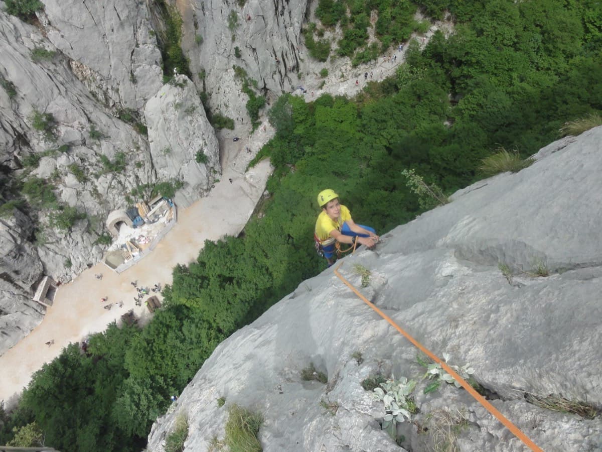
A five-minute approach from the gorge café. There is a polished boulder-problem start, then wandering grooves and an airy traverse on the 6a+ third pitch.
6a+4 pitches110 m
Read the cautions
Anića kuk – Stup (west side) · Paklenica · Croatia
Easy to bailBolting confidence: medium
Two hard pitches up the water-worn slabs of the Stup, then two easy ones to finish. Pitch 1 pulls through a big roof on a hand crack; pitch 2 climbs the famous deep water grooves and ends on a holdless slab that many find the hardest part. bergsteigen.com calls the combination the best line on the Stup.
The route
Bears on Toast is the hard sport route of the Stup, the pillar at the foot of Anića kuk. The route proper is about 60 m: two pitches of 6c+ that combine a roof crack, steep climbing on enormous water grooves and a friction slab with almost no holds. Above, two easy pitches shared with the neighbouring lines lead to the top of the Stup, giving a four-pitch outing of about 120 m. It is bolted throughout, with an obligatory grade of about 6b+ to 6c+ depending on the source, so the hard pitches have to be climbed rather than pulled through.
The climbing
| Pitch | Grade | Notes |
|---|---|---|
| P1 | 6c+ | Straight into a big roof split by a hand crack, which has to be climbed free. A 2017 party found the holds at the 6c+ exit from the roof very polished; otherwise a pleasant pitch. bergsteigen.com describes the usual start as the entry pitch of Brid za mali čekić. |
| P2 | 6c+ | A small roof, then very steep, powerful climbing on huge water grooves, and finally a holdless slab at 6c+ that is climbed on friction and tiny foot movements. The outstanding pitch. |
| P3 | 5b | Easy, enjoyable climbing on perfect limestone. bergsteigen.com gives 5b for the two upper pitches; camptocamp and plezanje.net give 4c. |
| P4 | 5b | More of the same to the top of the Stup. bergsteigen.com describes the upper part as following Domžalski. |
Getting there
Base yourself in Starigrad-Paklenica, on the coast road between Rijeka and Zadar. From Zagreb it is about 235 km by the A1 to the Maslenica exit, then 15 km along the coast. A signed road leaves the eastern end of the village for the national park. Buy a ticket at the entrance (climbers can buy 3-day and 5-day tickets), then drive on to the last car park at the end of the road.
From the last car park follow the main path up the gorge. After about 15 min, before the path levels out, a signed path branches right for Anića kuk. Follow it up for about 50 m of height gain to a fork: right for the Stup, left for the Trapez, Klin, north-west and north faces. Go right. The start is at the very foot of the Stup pillar, in a corner, at about 260 m. About 20 min.
Loading map
The point marks the crag, not the exact start of the route.
Parking
Last car park in the Velika Paklenica gorge (bergsteigen.com map marker 'Ende der Straße')
Point from Mountain Project sector point for Stup (G17–20); the approximate bergsteigen.com start markers for routes on the Stup lie within about 70 m of it
Contains the route point and parking. Opens in most mapping apps and GPS watches.
Points are compiled from published sources, with the precision stated above. They were not surveyed on the ground: check them against a current topo.
Coordinates: 44.30671, 15.47783 (crag) · Parking: 44.30372, 15.47109
Getting down
From the top of pitch 4 make one 60 m abseil to the south and walk round the Stup back to the start, or make three abseils down the route. Then return by the approach path; about 30 min to the car park. If you carry on up Domžalski to the summit of Anića kuk (712 m), come down the marked hiking path instead.
Retreat
Easy to bail
bergsteigen.com gives three abseils down the route as one of the two normal descents, and all belays are bolted, so you can retreat from any belay.
Safety
Sun and weather
West facing at the foot of the gorge, start at about 260 m: bergsteigen.com marks March to May and September to November. Pitch lengths and bolt counts are not published in the open part of any source read.
Sun on the wall · W-facing
Working out the sunlit hours for this month.
Sun on the wallDaylight, wall in shade● Usual season
Estimated from the wall's aspect only. Ignores surrounding terrain, gullies and the wall's exact shape. Clock times are local to the wall (Central European time), for the 15th of each month.
| Measure | Jan | Feb | Mar (usual season) | Apr (usual season) | May (usual season) | Jun | Jul | Aug | Sep (usual season) | Oct (usual season) | Nov (usual season) | Dec |
|---|---|---|---|---|---|---|---|---|---|---|---|---|
| Mean daily high °C | 7 | 8 | 12 | 16 | 21 | 25 | 28 | 28 | 23 | 18 | 13 | 8 |
| Mean daily low °C | 0 | 0 | 3 | 7 | 12 | 16 | 18 | 18 | 14 | 10 | 6 | 2 |
| Rain days 1 mm or more | 11 | 10 | 11 | 12 | 11 | 8 | 6 | 6 | 9 | 11 | 13 | 12 |
● marks the usual climbing season. Averages for 1991-2020 at about 262 m. Area climate from Open-Meteo reanalysis. Temperatures are adjusted to the height of the crag; rain comes from a grid cell of about 10 to 25 km, and summer highs on sea cliffs can read a few degrees low. The wall and valley can differ. Data: Open-Meteo, CC BY 4.0.
What to carry
16 quickdraws. bergsteigen.com lists no nuts and no cams. It gives a 50 m rope for the climbing and says a 60 m double rope is an advantage for the abseil. Helmet.
Derived from the route data; check it against a current topo
From climbers
Reader reports are not being collected yet. Until they are, check a current topo and the local club or guidebook publisher for recent changes to Bears on Toast.
Worth knowing
Open questions
Provenance
Same area
Croatia · Paklenica
A five-minute approach from the gorge café. There is a polished boulder-problem start, then wandering grooves and an airy traverse on the 6a+ third pitch.
6a+4 pitches110 m
Read the cautions
Croatia · Paklenica
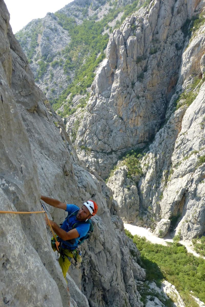
Classic Paklenica water-groove climbing on beautifully sculpted rock. The crux is a rising crack traverse on P5, with delicate slab moves above.
6a+6 pitches160 m
Read the cautions
Croatia · Paklenica
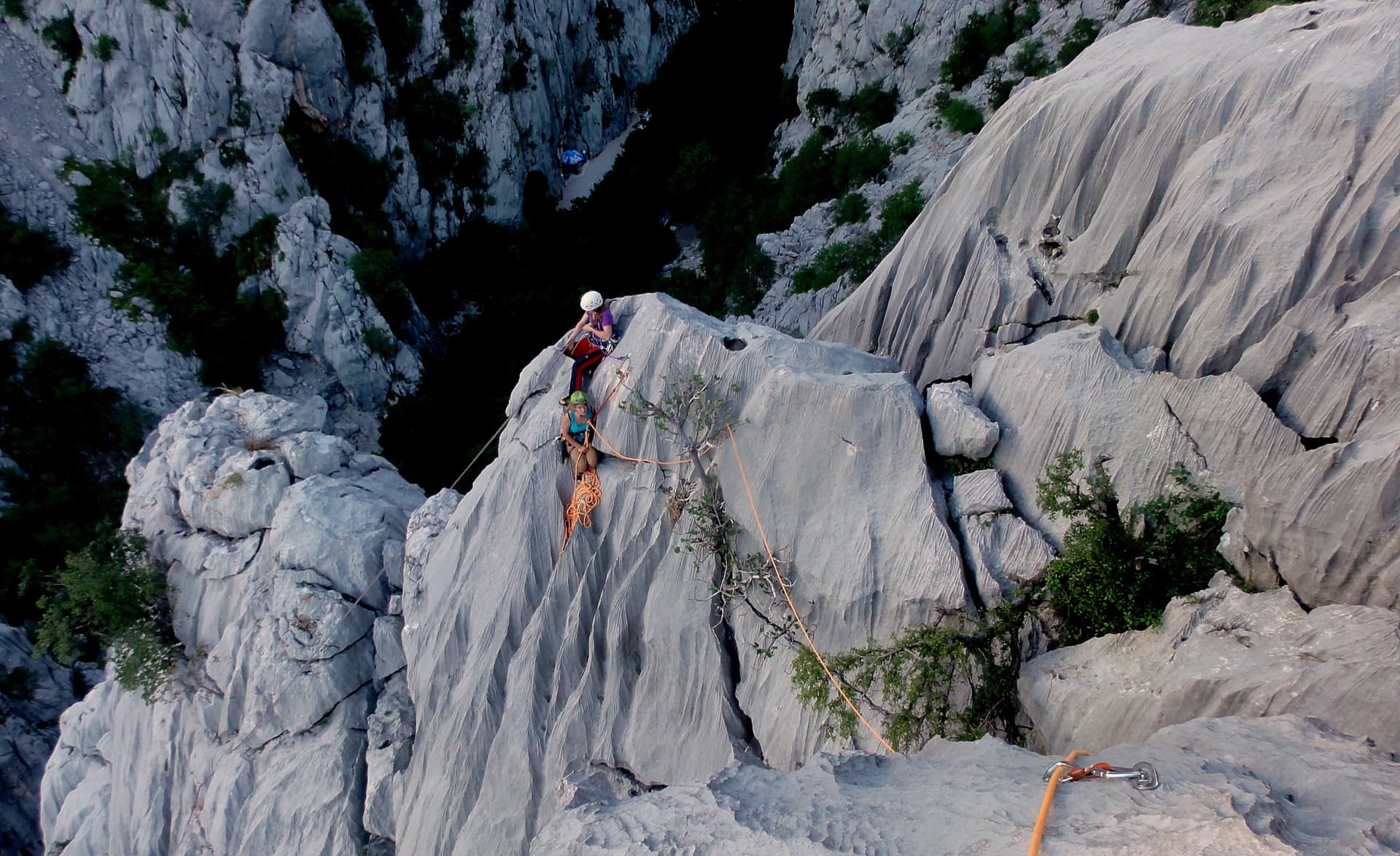
A short, high-quality modern line: a clean straight first pitch, then a steep crack crux and magnificent water grooves.
6a+5 pitches100 m
Read the cautions
Croatia · Paklenica
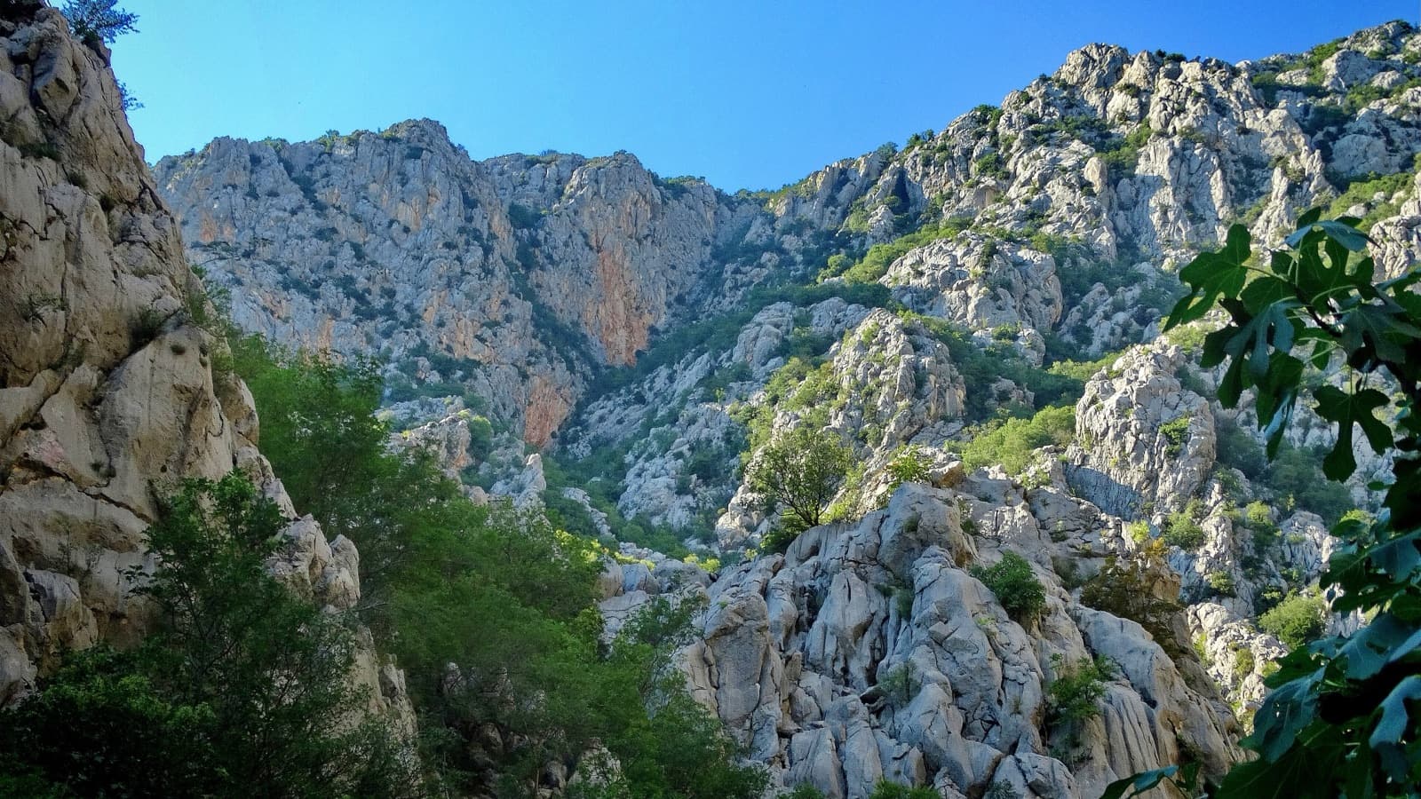
The line used for Paklenica's annual Big Wall Speed Climbing competition: steep, direct and on very rough rock that has stayed unpolished. A sustained 45 m 6c+ pitch on small holds is the crux, followed by sharp runnels, a big corner and three overhangs to finish. Fifteen minutes from the car.
6c+6 pitches200 m
Around 6c+ · about 4 pitches
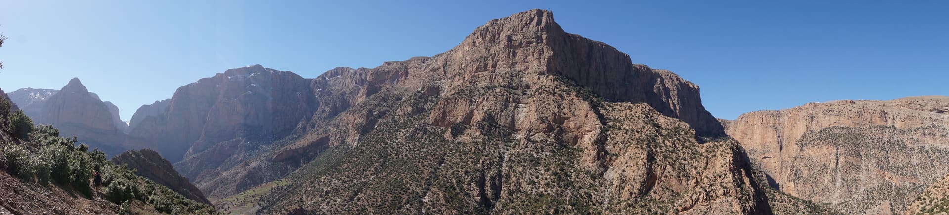
Morocco · Taghia
A short, varied route directly above the river on the way in to Taghia, each pitch in a different style: fluted slab, a strenuous exit from a cave on tufas and a steep crack, a technical leftward slab and a corner. Ideal for a half day, an arrival or departure day, or doubtful weather.
6c+4 pitches120 m
Read the cautions
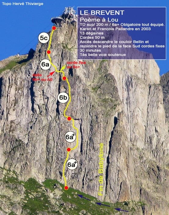
France · Chamonix valley
Five long, steep and technical pitches up the south face of the Brévent, finishing beside the cable-car station. Sustained 6a+ to 6b wall climbing on small edges where reading the line is the main difficulty, with one short 6c+ traverse that has a fixed rope. Parties call it one of the best routes of its grade in the Aiguilles Rouges.
6c+5 pitches220 m
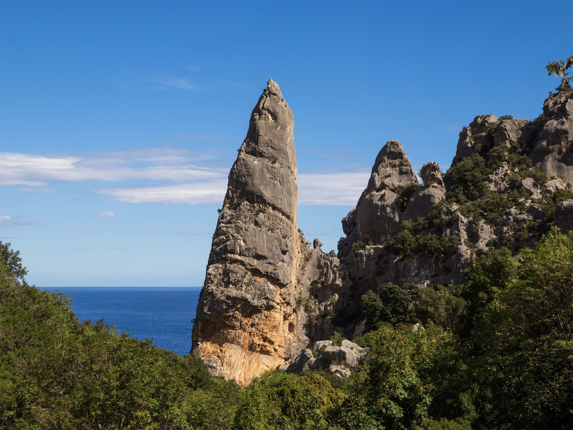
Italy · Sardinia
The harder classic on the Goloritzè spire: compact grey walls and smooth water-drop slabs at 6b to 6b+, then a 6c scoop and an airy finish to a tiny summit above the turquoise bay. Shaded, technical and on the feet.
6c4 pitches135 m
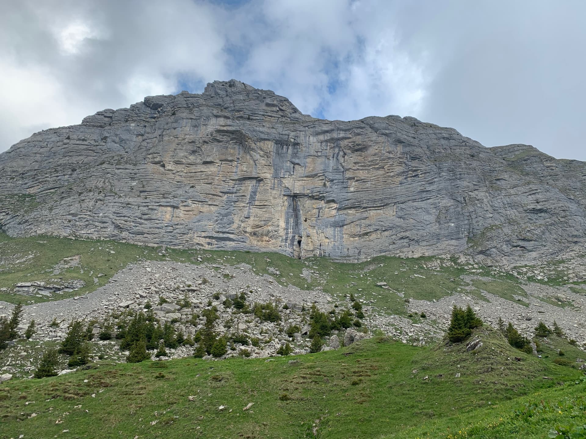
Switzerland · Bernese Oberland
Four pitches of steep, compact limestone opposite the Eiger: a stiff 6a+ warm-up, a short bouldery 7a crux on small edges, a 6b through little roofs on good holds, and a superb, sustained 7a wall of pockets to finish. Short enough to climb without a pack, and the 7a grades are reckoned friendly.
7a4 pitches120 m
Compiled from published sources and last verified October 2026. Bolts, anchors and access change. Climbing is dangerous and you are responsible for your own decisions: check a current topo and read the disclaimer.