Multipitch Atlas

L'âne sale

Tamzazate · Taghia · Morocco

Read the cautionsEasy to bailBolting confidence: medium

A short, varied route directly above the river on the way in to Taghia, each pitch in a different style: fluted slab, a strenuous exit from a cave on tufas and a steep crack, a technical leftward slab and a corner. Ideal for a half day, an arrival or departure day, or doubtful weather.

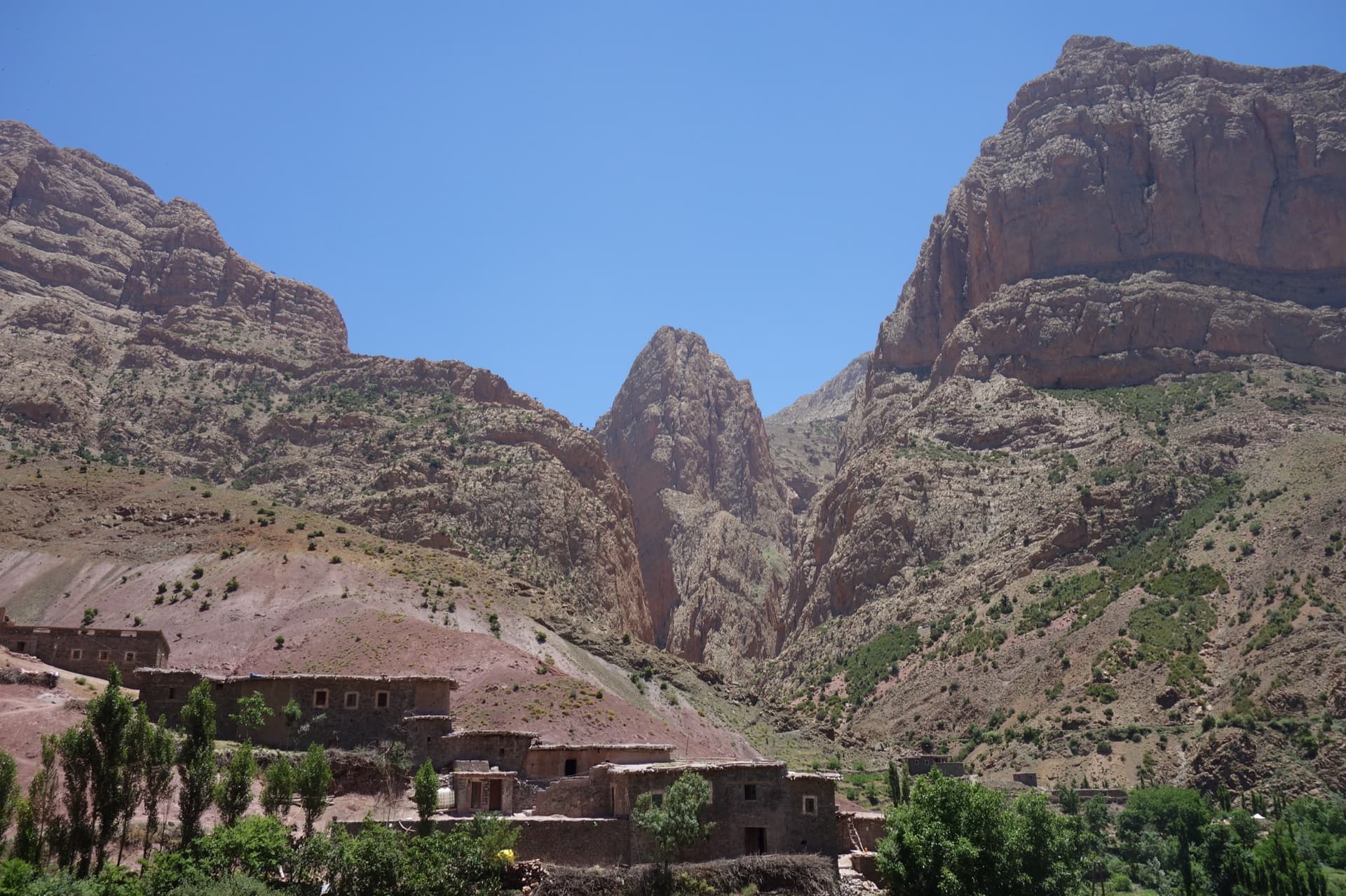
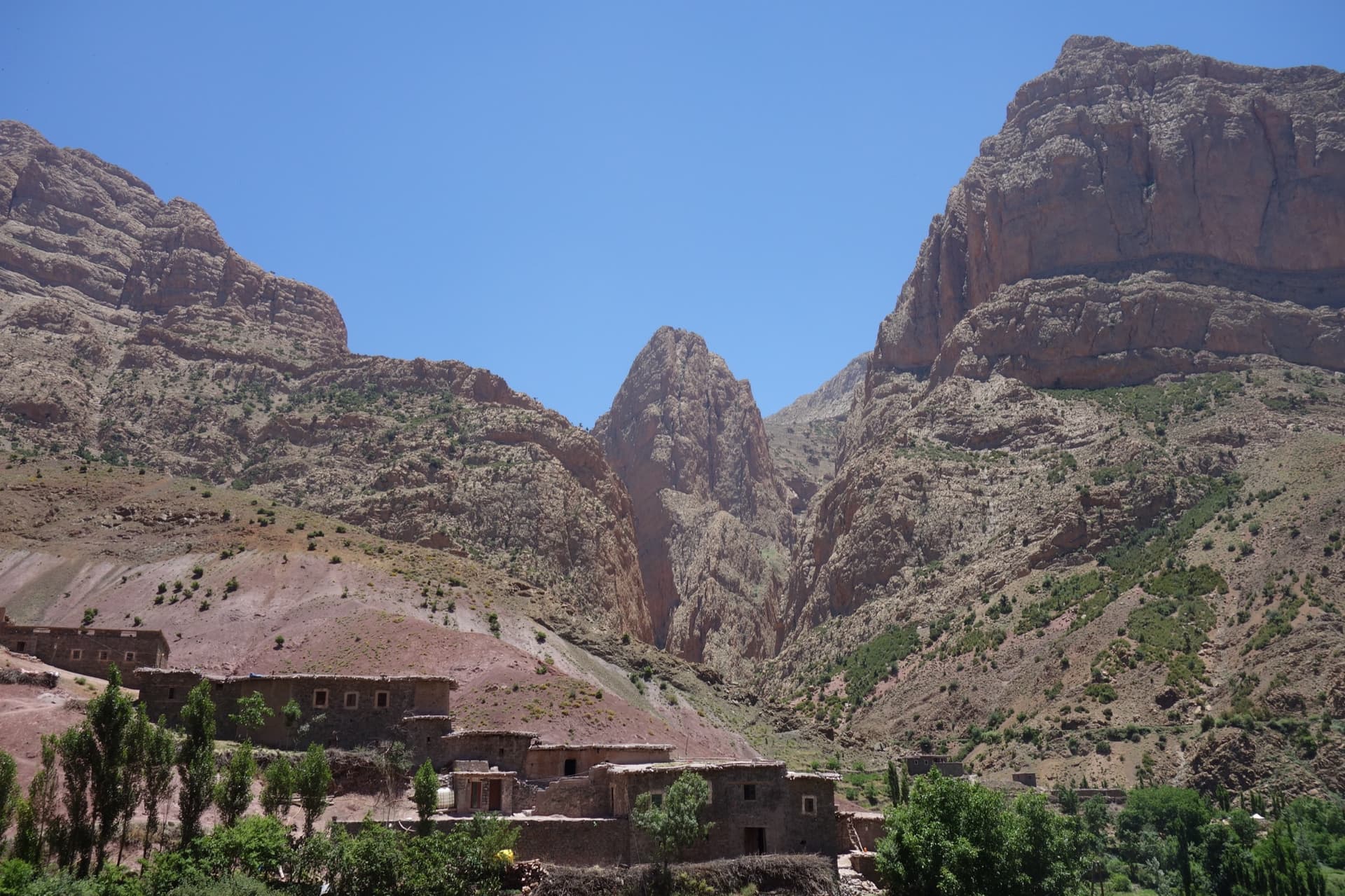
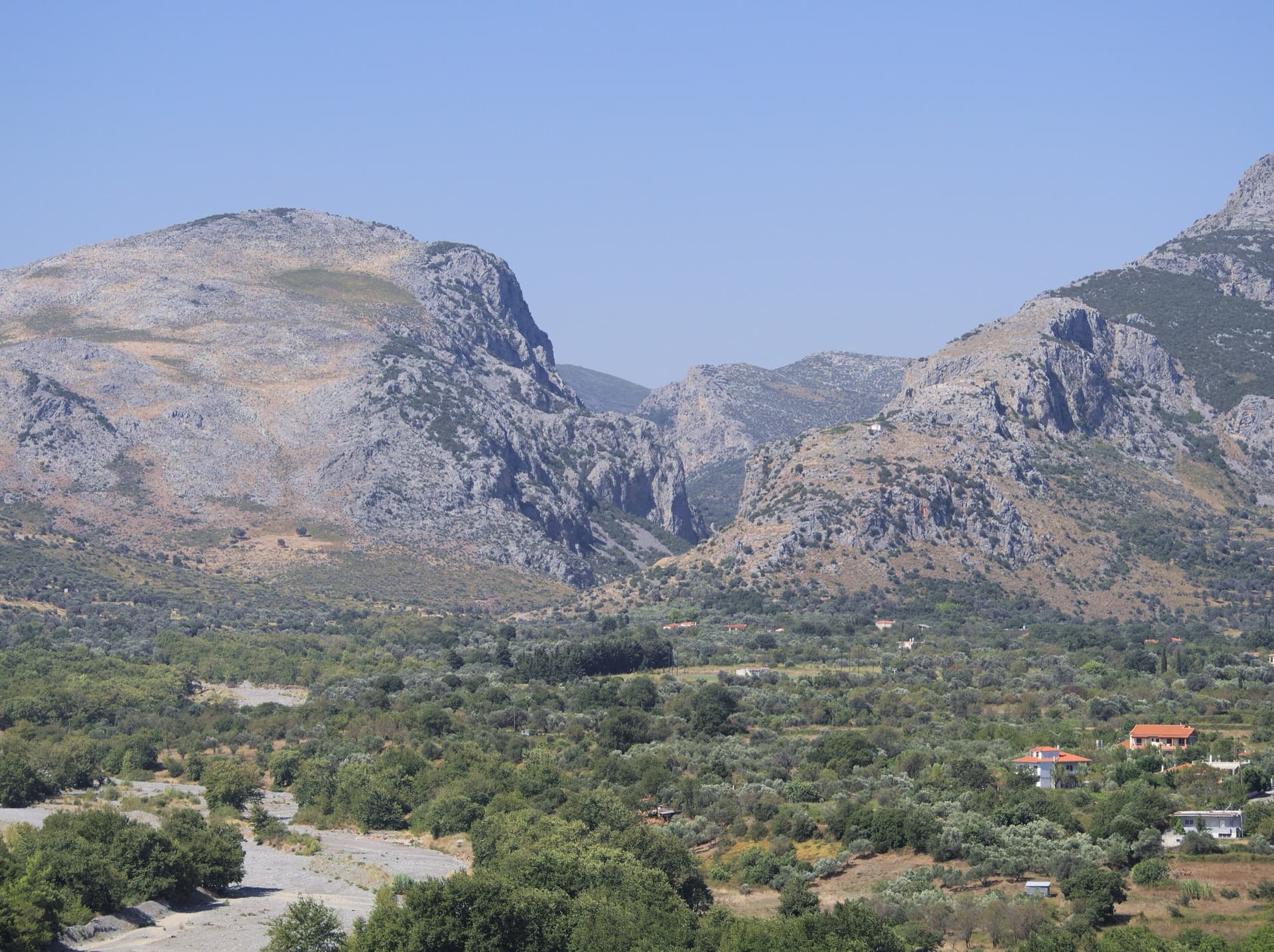
Panorama of the Tamzazate above the track to Taghia, with the Taghia gorges on the leftPhoto: Antoine Marnat · CC BY-SA 3.0

Photo

Panorama of the Tamzazate above the track to Taghia, with the Taghia gorges on the leftPhoto: Antoine Marnat · CC BY-SA 3.0
Hardest pitch
6c+
Pitches
4
Length
120 m
Approach
60 min
Aspect
NE
North-east-facing
Rope
2×50 m or 2×60 m
Read before you go

Well bolted above the start, but the first bolt is high and hangers have been stolen there, so carry a few nuts for the first metres.

The route

Overview

The Tamzazate wall stands above the river on the path between Zaouiat Ahansal and Taghia, just above the hamlet of Tamdarote, well away from the main gorge. L'âne sale is its bolted route: 120 to 150 m in four or five short pitches, with a characteristic cave part-way up that makes it easy to identify. It is a different outing from the big walls: quick to reach, quick to climb and easy to abseil from at any point. The grades are 6a+ to 6c+, with the cave pitch the crux, and the climbing is technical throughout.

The climbing

Pitch by pitch

Pitches of L'âne sale
PitchGradeNotes
P16a+A technical fluted slab leading to the belay below the cave. The first bolt is a long way off the ground and hard to find; the first two hangers were reported stolen in 2014, when the start was protected with a medium nut in a hole. Vertical Pirate splits this into a 6a+ pitch and a 5c pitch up flutings and a corner.
P26c+The crux: thrutchy climbing out of the cave on tufas with slopey holds, then an athletic exit up a steep crack. Graded 6c by a 2014 party and 6c/7a by Vertical Pirate.
P36b+A slab traversing up and left that needs a lot of route reading; some find it as hard as the crux. Vertical Pirate gives 6c.
P46bA corner, then a pillar, finishing on a slab. Not obvious and quite technical.

Getting there

Approach

To the parking

From Marrakech go via Azilal to Zaouiat Ahansal: about 250 km and 5 to 6 hours, on tarmac throughout. From Zaouiat you walk up to Taghia or, since 2023, the gîtes can drive you up a track by 4x4. The gîtes in Taghia (Saïd's and Mohamed Amil's are the ones named in reports) offer half board and can arrange the taxi from Marrakech. This route is passed on the way in, so it can be climbed on the walk up to Taghia or on the way out.

On foot · about 60 min

About an hour from the Taghia gîtes (a 2024 party left at 08:00 and started climbing at 09:00). Walk back down the track towards Zaouiat Ahansal until the wall appears on the left after a bridge, just above Tamdarote. The route is directly opposite the point where the path splits in two, the walkers' path staying high and the mule path dropping to the river. Ford the river wherever is easiest to reach the foot of the wall.

Map of the walk-in

  • Crag

Loading map

The point marks the crag, not the exact start of the route.

Coordinates · crag

31.79742, -6.08977

Point from camptocamp waypoint 43749 (Tamzazate)

For your phone or watch

Download GPX

Contains the route point. Opens in most mapping apps and GPS watches.

Points are compiled from published sources, with the precision stated above. They were not surveyed on the ground: check them against a current topo.

Getting down

Descent

Abseil the route. A 2014 party made two abseils with 2×60 m ropes. A 2024 party reached the ground directly from the second belay with 2×50 m ropes; they found the line easy and almost straight but had trouble with twisting ropes.

Retreat

Bailing off the route

Easy to bail

Abseiling the route is the normal descent and a 2024 party notes you can go down at any point. The line is short and almost straight.

Retreat from
Any belay.
Point of no return
None.
Carry
Two ropes of 50 m (60 m gives more margin).
Basis
Stated in the sourcesStated on the route page and in 2014 and 2024 outings.

Safety

Hazards

  • A high first bolt on pitch 1; hangers have been stolen here in the past.
  • The river must be forded and may be impassable after heavy rain.
  • Ropes twist and can catch on the abseils.
  • There is no mountain rescue service in Morocco.

Sun and weather

Conditions

North-east face topping out at about 2,000 m, in the shade from early afternoon. The rock is less spectacular than in the gorges but excellent and unpolished. About 2 hours of climbing. Getting to the start means fording the Ahansal river, which can be high after rain: in April 2025, after four days of rain, the state of the river put most of Taghia's walls out of reach.

Usual season · Apr to Jun, Sep to Oct

Sun on the wall · NE-facing

Working out the sunlit hours for this month.

  • January: not yet worked out
  • February: not yet worked out
  • March: not yet worked out
  • April (usual season): not yet worked out
  • May (usual season): not yet worked out
  • June (usual season): not yet worked out
  • July: not yet worked out
  • August: not yet worked out
  • September (usual season): not yet worked out
  • October (usual season): not yet worked out
  • November: not yet worked out
  • December: not yet worked out

Sun on the wallDaylight, wall in shade● Usual season

Estimated from the wall's aspect only. Ignores surrounding terrain, gullies and the wall's exact shape. Clock times are local to the wall (Moroccan time), for the 15th of each month.

Monthly climate averages for Taghia, 1991-2020
MeasureJanFebMarApr (usual season)May (usual season)Jun (usual season)JulAugSep (usual season)Oct (usual season)NovDec
Mean daily high °C8912161924282823181310
Mean daily low °C−4−3−0361014141061−2
Rain days 1 mm or more568101197109865

● marks the usual climbing season. Averages for 1991-2020 at about 1927 m. Area climate from Open-Meteo reanalysis. Temperatures are adjusted to the height of the crag; rain comes from a grid cell of about 10 to 25 km, and summer highs on sea cliffs can read a few degrees low. The wall and valley can differ. Data: Open-Meteo, CC BY 4.0.

What to carry

Gear

Quickdraws (number not stated) and two ropes of 50 or 60 m for the abseils. A few medium nuts for the start are worth carrying in case the first hangers are still missing. Sandals or a plan for fording the river. Helmet.

Checklist

Quickdraws
Number not given in the sources
Rope
2×50 m or 2×60 m
Helmet
One each
Abseil device and prusik
The descent or the retreat involves abseiling

Derived from the route data; check it against a current topo

From climbers

Reader reports

Reader reports are not being collected yet. Until they are, check a current topo and the local club or guidebook publisher for recent changes to L'âne sale.

Worth knowing

Tips

  • A good choice when rain threatens: short approach on a track and you can abseil off at any time.
  • In doubt on the upper pitches, keep left.
  • The route stops below the top of the wall; parties regret that it is not longer.

Open questions

Where sources disagree

  • Pitches: 4 on camptocamp (6a+, 6c+, 6b+, 6b), 5 on Vertical Pirate (6a+, 5c, 6c/7a, 6c, 6b). The camptocamp count is used.
  • Hardest pitch: 6c+ on camptocamp, 6c/7a on Vertical Pirate, 'only 6c' for a 2014 party.
  • Length: 120 m on camptocamp, 150 m on Vertical Pirate.
  • First ascent year: 2003 or 2002. The second name is spelt Gesquiers on camptocamp and Ghesquiers on Vertical Pirate.
  • Start: hangers missing in 2014; 'first bolt hard to find far from the ground' in 2019; 'reassuring equipment' in 2024. Whether the hangers were replaced is not stated.

Provenance

Sources

Same area

More in Taghia

All routes in Taghia
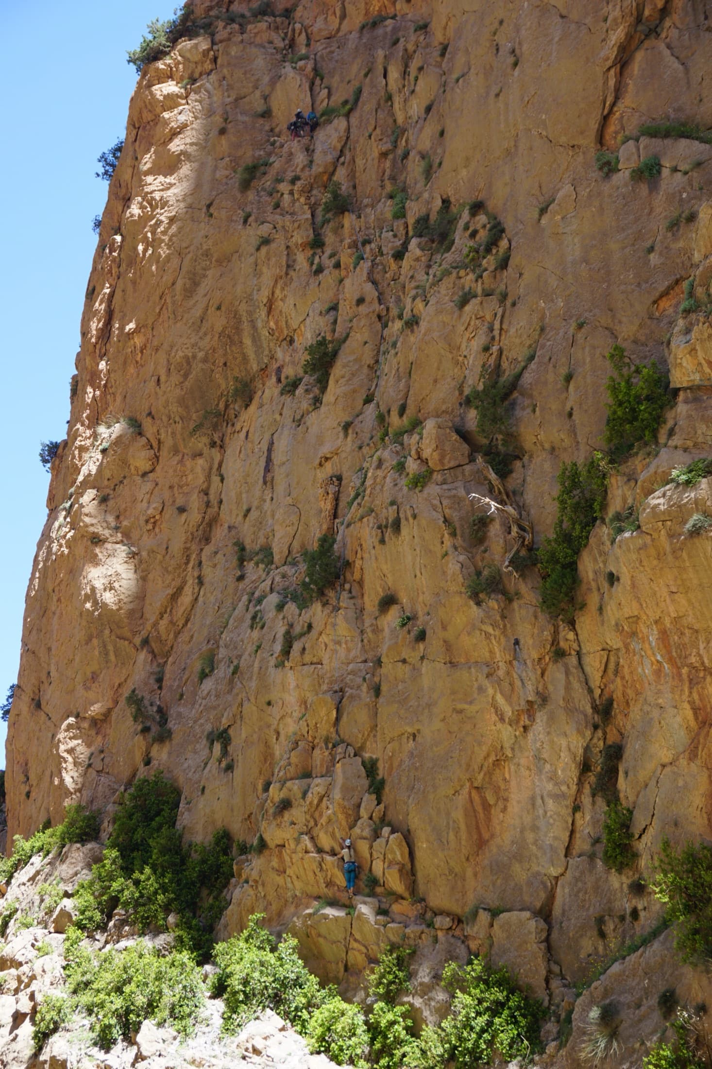
The orange limestone of the Paroi des Sources at Taghia, with climbers on its routes.

Morocco · Taghia

Les babouches de Mostafa

The friendly way into Taghia, starting at the water's edge beside the springs. Seven varied pitches, well bolted by Taghia standards. Go left around the unstable rock below the second belay; fragile blocks are marked in red. In shade until midday.

6b7 pitches270 m

Committing
The Oujdad above Taghia

Morocco · Taghia

Ibtisane

The easiest bolted line at Taghia: three steep 5c walls linked by two long, easy garden pitches. Goes into shade around midday in April.

5c5 pitches235 m

Read the cautions

Taghia village beneath the pointed tower of the Taoujdad (centre), with the Oujdad massif at the right; the west face is the tower's right-hand flank, turned towards the Oujdad.

Morocco · Taghia

Au nom de la Réforme

The classic first route at Taghia: steep, water-sculpted red limestone on the west face of the Taoujdad, with a 6c third pitch that is 6b until a short crux below the belay. It is better bolted than most Taghia routes and correspondingly popular, so some pitches are polished.

6c7 pitches300 m

Taghia village beneath the pointed tower of the Taoujdad (centre), with the Oujdad massif at the right; the west face is the tower's right-hand flank, turned towards the Oujdad.

Morocco · Taghia

Champion du Maroc

Five pitches on new, very rough red rock just right of Au nom de la Réforme. The first three are steep, fingery and continuous with one short crux each; the last two are much easier. The original grades are 7a+, 7a and 6c+, now widely thought generous, and the cruxes are bolted closely enough to pull through.

6c+5 pitches200 m

Around 6c+ · about 4 pitches

Similar elsewhere

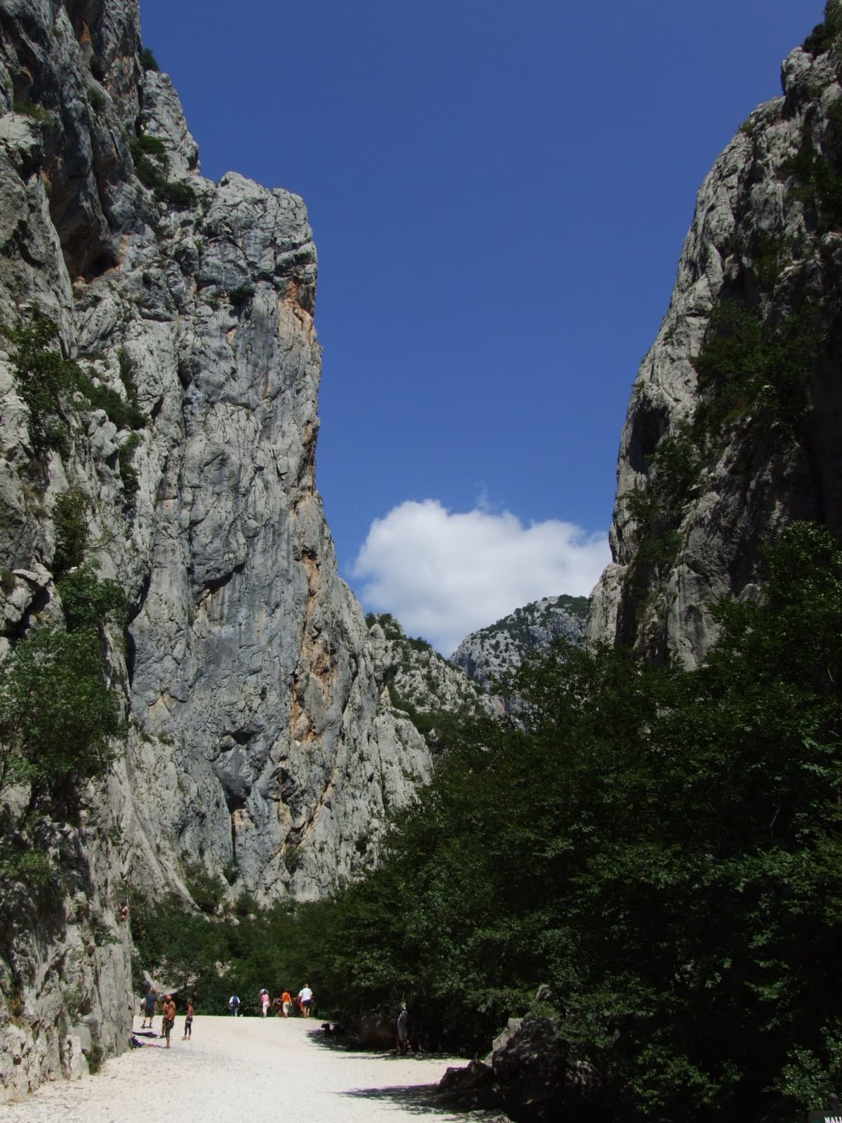
A view of the region, not this route's wall. The limestone walls of the Velika Paklenica canyon near its entrance.

Croatia · Paklenica

Bears on Toast

Two hard pitches up the water-worn slabs of the Stup, then two easy ones to finish. Pitch 1 pulls through a big roof on a hand crack; pitch 2 climbs the famous deep water grooves and ends on a holdless slab that many find the hardest part. bergsteigen.com calls the combination the best line on the Stup.

6c+4 pitches120 m

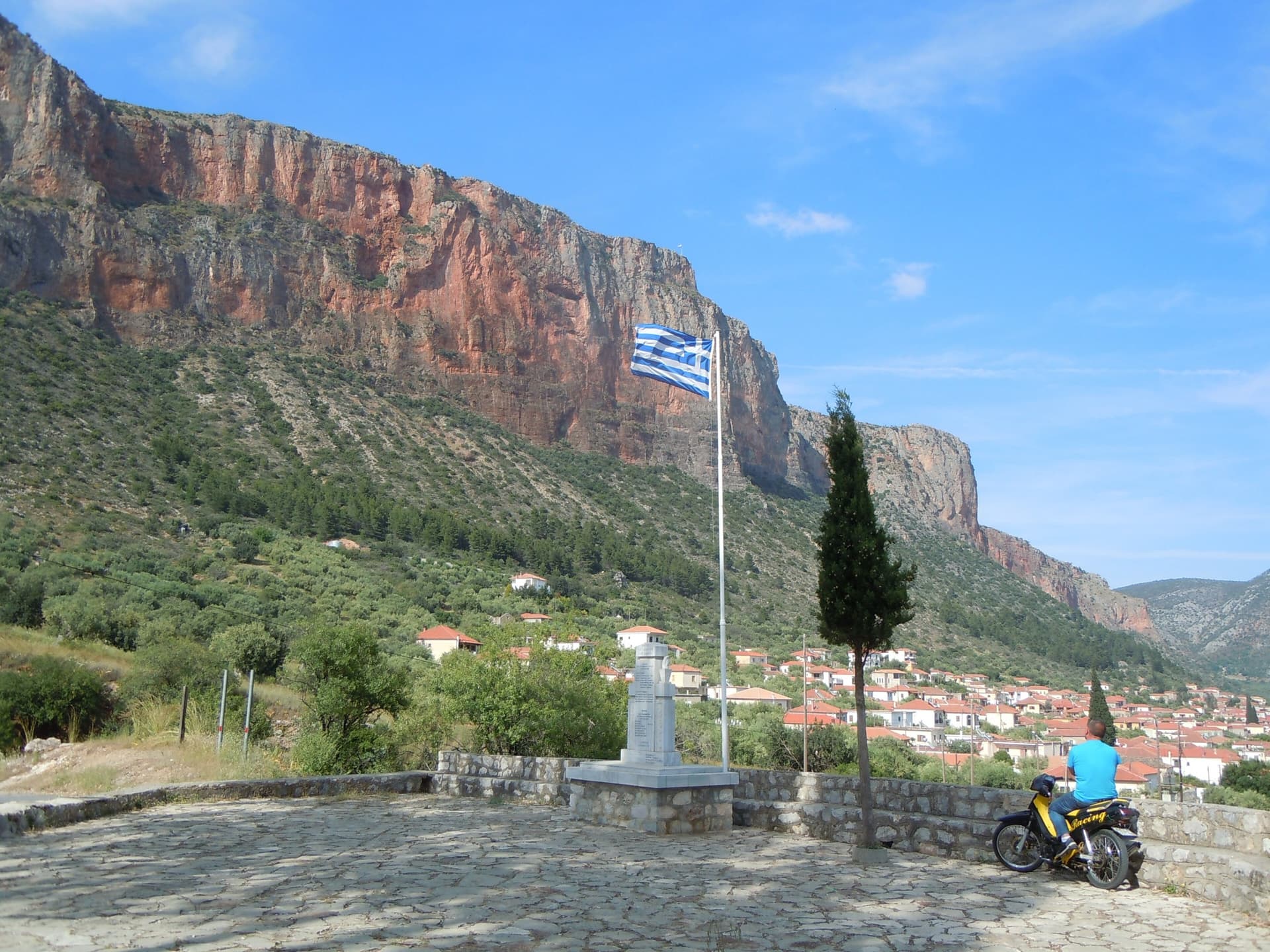
The red wall of Kokkinovrachos above Leonidio, seen from Agios Nektarios

Greece · Leonidio & Kyparissi

Ura Ka

Five long, very homogeneous pitches between 6b and 6c+ up the big red wall above Leonidio, finishing through an overhang on big holds. Rated three stars locally and more sustained than Aramis next door. For parties solid at 6c.

6c+5 pitches185 m

The mouth of the Manikiatis gorge on Evia, where the Manikia crags line both sides of the valley

Greece · Manikia (Evia)

Geia Sas Arete

Technical crimping on vertical and gently overhanging limestone up the right edge of a clean, remote wall: two long 6c+ pitches, a roof on hidden jugs and an exposed ridge to finish on a real summit. In the shade all morning, with an approach of over an hour and nobody else around.

6c+5 pitches160 m

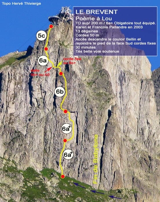
Photo-topo of Poème à Lou on the south face of Le Brévent by Hervé Thivierge, with pitch grades and the cable-car station at the top

France · Chamonix valley

Poème à Lou

Five long, steep and technical pitches up the south face of the Brévent, finishing beside the cable-car station. Sustained 6a+ to 6b wall climbing on small edges where reading the line is the main difficulty, with one short 6c+ traverse that has a fixed rope. Parties call it one of the best routes of its grade in the Aiguilles Rouges.

6c+5 pitches220 m

Compiled from published sources and last verified October 2026. Bolts, anchors and access change. Climbing is dangerous and you are responsible for your own decisions: check a current topo and read the disclaimer.