Multipitch Atlas

Ura Ka

Kokkinovrachos (main wall, just left of Ramisi Rock) · Leonidio & Kyparissi · Greece

Bail not documentedBolting confidence: medium

Five long, very homogeneous pitches between 6b and 6c+ up the big red wall above Leonidio, finishing through an overhang on big holds. Rated three stars locally and more sustained than Aramis next door. For parties solid at 6c.

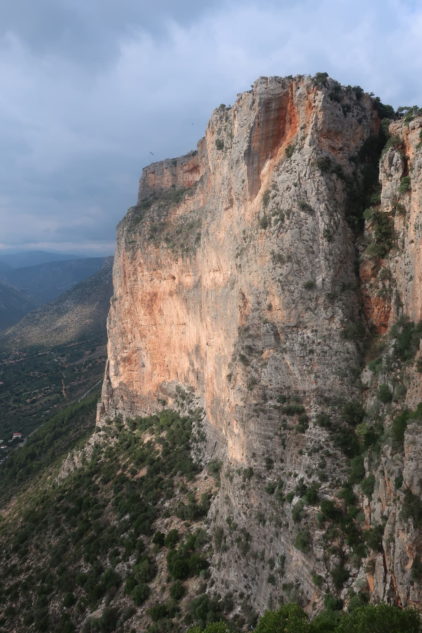
The red wall of Kokkinovrachos above Leonidio, seen from Agios NektariosPhoto: Patrice78500 · CC BY-SA 4.0

Photo

The red wall of Kokkinovrachos above Leonidio, seen from Agios NektariosPhoto: Patrice78500 · CC BY-SA 4.0
Hardest pitch
6c+
Pitches
5
Length
185 m
Approach
30 min
Aspect
S
South-facing
Rope
2×50 m

The route

Overview

Ura Ka is one of the three-star sport multi-pitches on the main face of Kokkinovrachos, opened in 2015 by Claude and Yves Remy with M. Noverraz and C. Simeon in the same campaign as Aramis. It is short on pitches but long on climbing: five pitches of 30 to 40 m, none easier than 6b, with a 6b obligatory grade. The guide database singles out the consistency of the pitches and the final overhang. It is the hardest route in this batch after Ramisi Rock and has only one detailed source.

The climbing

Pitch by pitch

Pitches of Ura Ka
PitchGradeLengthNotes
P16b35 mGrey wall climbing with a lot of holds.
P26c+40 mGo right, then straight up.
P36c+40 mTraverse right, then straight up, then left. Expect rope drag.
P46c30 mCross to the right, close to Ramisi Rock, then up and left.
P56b+40 mAn overhang on big holds to the top: the great finale.

Getting there

Approach

To the parking

Base yourself in Leonidio on the east coast of the Peloponnese. Kokkinovrachos is the red wall directly above the town.

On foot · about 30 min

Walk from the town following the signs for Kokkinovrachos, or use the Douvari parking on the Vaskina road and traverse right along the foot of the wall. The path reaches the right-hand part of the cliff at the start of Aramis, whose name is painted in red; parties report 20 to 40 min from the village. Ura Ka is on the same part of the wall, immediately left of Ramisi Rock (its fourth pitch passes close to that route). No source describes how its start is marked; use the guidebook topo.

Map of the walk-in

  • Crag

Loading map

The point marks the crag, not the exact start of the route.

Coordinates · crag

37.17236, 22.85832

Point from OpenStreetMap node 13450285322 (Ramisi rock, Kokkinovrachos)

For your phone or watch

Download GPX

Contains the route point. Opens in most mapping apps and GPS watches.

Points are compiled from published sources, with the precision stated above. They were not surveyed on the ground: check them against a current topo.

Getting down

Descent

The online listing gives no descent for Ura Ka; the guidebook covers return options for the wall on a dedicated page. On the neighbouring routes you either abseil the line with two ropes of at least 50 m (Aramis is the usual abseil line and gets busy), or walk right along the top to a line of two abseils in the gully to the east, the second of which is 40 m, and then a path. A third option from the top is the long walk out to the Vaskina road.

Retreat

Bailing off the route

Bail not documented

Nothing is published about retreating from Ura Ka. The rope the guide specifies (one 100 m or two 50 m) suggests the belays can be abseiled, as on Aramis and Ramisi Rock nearby, but pitches 3 and 4 traverse and no party has reported doing it.

Retreat from
Probably R1 and R2, which are reached by fairly direct pitches (inferred).
Point of no return
Not documented. Pitches 3 and 4 both traverse, which would complicate abseiling from above them.
Carry
Two 50 m ropes at least, maillons and cord.
Basis
Inferred from the route factsInferred from the rope requirement and pitch descriptions on the guide site; no descent or retreat is described.

Partly inferred from the route facts

Safety

Hazards

  • Only one detailed source and no trip reports were found.
  • The guide site warns that the multi-pitches numbered 1 to 4 on its topo must not be climbed when climbers are at the single-pitch sectors below, because of loose blocks. The online listing does not say which routes those are, so check the printed topo.
  • Rope drag on pitch 3, which traverses right and then back left.
  • The descent is not described for this route; work it out from the guidebook before you leave the ground.
  • Sustained climbing with a 6b obligatory grade: retreat is the only easy way out if the grade is too much.
  • The local rescue team (Leonidio Fire Department) is not trained for big-wall rescue, as the local guide site points out.

Sun and weather

Conditions

South facing at about 420 m: a winter-sun wall, best from November to March. Neighbouring routes are reported too hot from late morning even in November on still days.

Usual season · Jan to Apr, Oct to Dec

Sun on the wall · S-facing

Working out the sunlit hours for this month.

  • January (usual season): not yet worked out
  • February (usual season): not yet worked out
  • March (usual season): not yet worked out
  • April (usual season): not yet worked out
  • May: not yet worked out
  • June: not yet worked out
  • July: not yet worked out
  • August: not yet worked out
  • September: not yet worked out
  • October (usual season): not yet worked out
  • November (usual season): not yet worked out
  • December (usual season): not yet worked out

Sun on the wallDaylight, wall in shade● Usual season

Estimated from the wall's aspect only. Ignores surrounding terrain, gullies and the wall's exact shape. Clock times are local to the wall (Greek time), for the 15th of each month.

Monthly climate averages for Leonidio & Kyparissi, 1991-2020
MeasureJan (usual season)Feb (usual season)Mar (usual season)Apr (usual season)MayJunJulAugSepOct (usual season)Nov (usual season)Dec (usual season)
Mean daily high °C111214182227303026211612
Mean daily low °C66810151922231915117
Rain days 1 mm or more1111108744357811

● marks the usual climbing season. Averages for 1991-2020 at about 297 m. Area climate from Open-Meteo reanalysis. Temperatures are adjusted to the height of the crag; rain comes from a grid cell of about 10 to 25 km, and summer highs on sea cliffs can read a few degrees low. The wall and valley can differ. Data: Open-Meteo, CC BY 4.0.

What to carry

Gear

18 quickdraws, and a single 100 m rope or two 50 m ropes (guide site). Long slings help on pitch 3. Helmets.

Checklist

Quickdraws
18
Rope
2×50 m
Helmet
One each
Abseil device and prusik
The descent or the retreat involves abseiling
Maillons or spare karabiners
To leave behind if you retreat
Cord
Mentioned for retreat

Derived from the route data; check it against a current topo

From climbers

Reader reports

Reader reports are not being collected yet. Until they are, check a current topo and the local club or guidebook publisher for recent changes to Ura Ka.

Worth knowing

Tips

  • Aramis (6c, already in the atlas) is described locally as less sustained and makes a good check of form first.
  • Take the rope the guide asks for; the pitches are too long for a 60 m rope to abseil.

Open questions

Where sources disagree

  • None between sources, because only one source describes the route. The Aramis entry on the same site confirms that Ura Ka is the more sustained of the two.

Provenance

Sources

Same area

More in Leonidio & Kyparissi

All routes in Leonidio & Kyparissi
The orange pillar at the right end of the main Kokkinovrachos wall, Leonidio.

Greece · Leonidio & Kyparissi

Mignonette

The easiest multi-pitch on Kokkinovrachos, following the easy-angled arête and pillar above Leonidio, with tufas, crimpy walls and a great view of the town. Rock is good apart from the scrappy P2–P3.

5c+7 pitches175 m
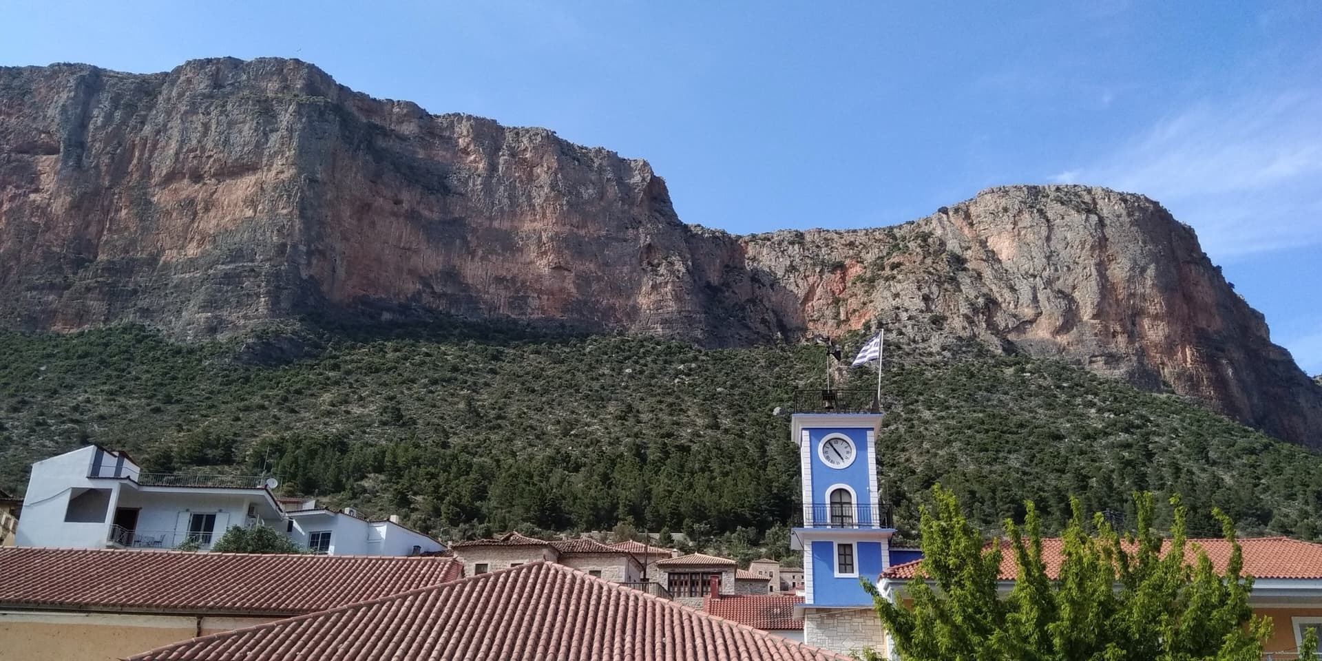
The red limestone wall of Kokkinovrachos rising directly above the rooftops and clock tower of Leonidio. Kapi Reborn is on the south-east face of this cliff; the exact line is not marked.

Greece · Leonidio & Kyparissi

Kapi Reborn

A newer pillar line with a pretty 45 m slab to start, a single interesting 6a+ crux on P4, and a final orange corner. It makes a good step up from Mignonette.

6a+7 pitches180 m

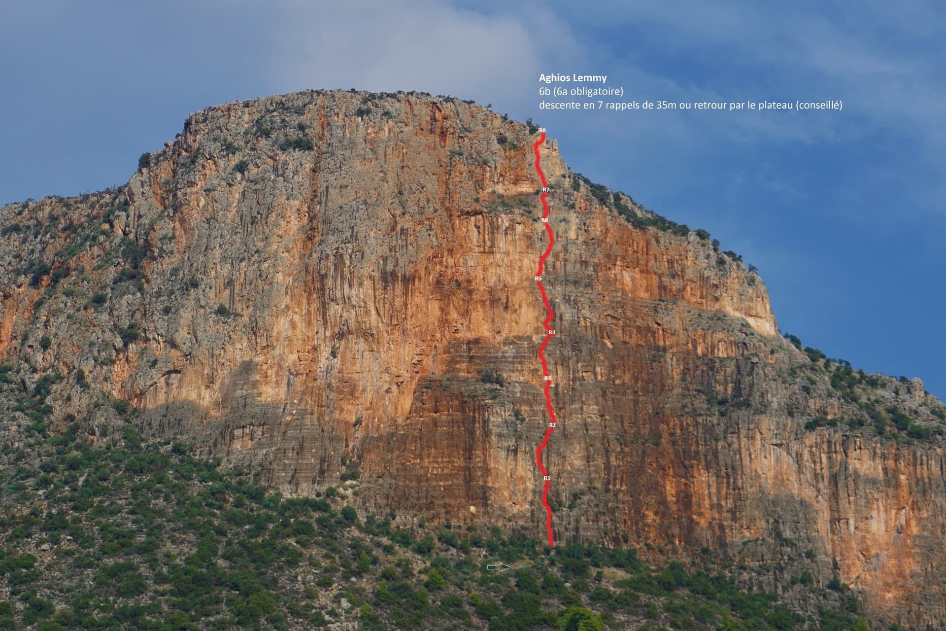
The Hospital / Red Rock buttress of Kokkinovrachos above Leonidio, with the line of Aghios Lemmy drawn in red.

Greece · Leonidio & Kyparissi

Aghios Lemmy

Short, mostly vertical pitches on beautiful multi-coloured limestone with varied climbing. It is sustained at 6a+/6b from P2 to the top. The route name is written at its base.

6b8 pitches160 m

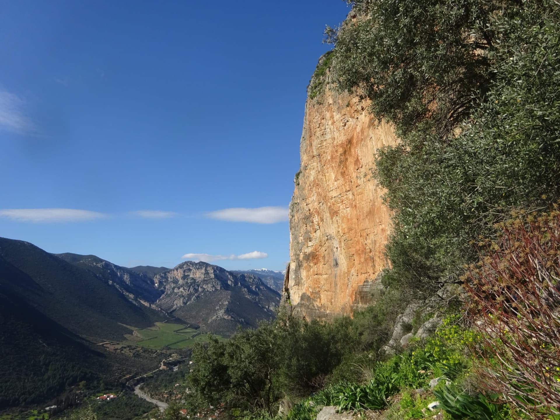
The orange Kokkinovrachos wall in profile above the Dafnon valley, seen from the foot of the cliff.

Greece · Leonidio & Kyparissi

Mira

Steep climbing on good holds through grey and then orange rock, including a fine steep crack and a sustained bulge out of the big orange niche you can see from town. For the last pitch take the 6b middle exit or the 5c traverse into Mignonette. The direct 'dead wall' exit is 6c+, much harder than the rest of the route.

6b7 pitches200 m

Around 6c+ · about 5 pitches

Similar elsewhere

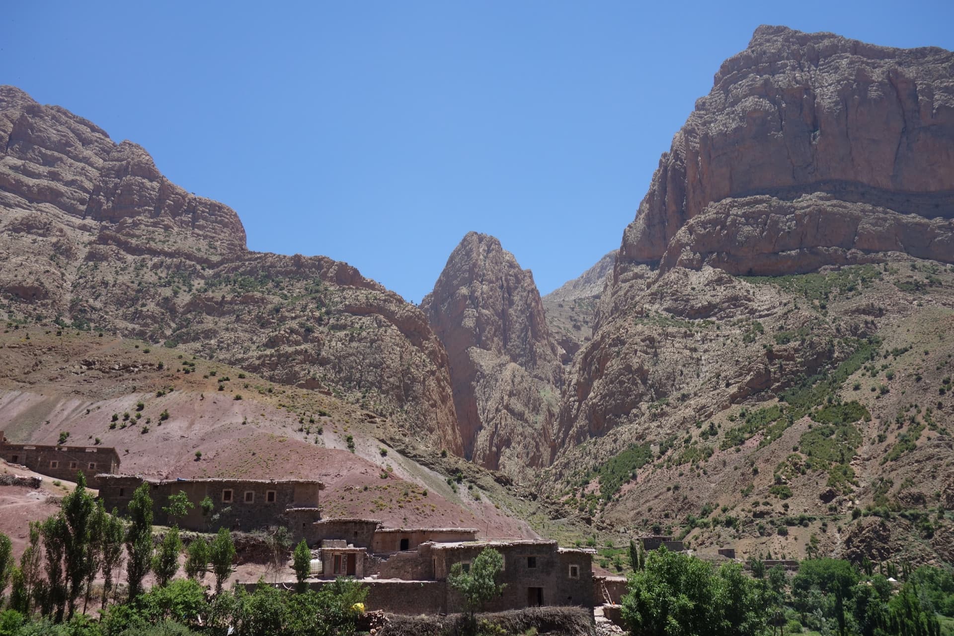
Taghia village beneath the pointed tower of the Taoujdad (centre), with the Oujdad massif at the right; the west face is the tower's right-hand flank, turned towards the Oujdad.

Morocco · Taghia

Champion du Maroc

Five pitches on new, very rough red rock just right of Au nom de la Réforme. The first three are steep, fingery and continuous with one short crux each; the last two are much easier. The original grades are 7a+, 7a and 6c+, now widely thought generous, and the cruxes are bolted closely enough to pull through.

6c+5 pitches200 m

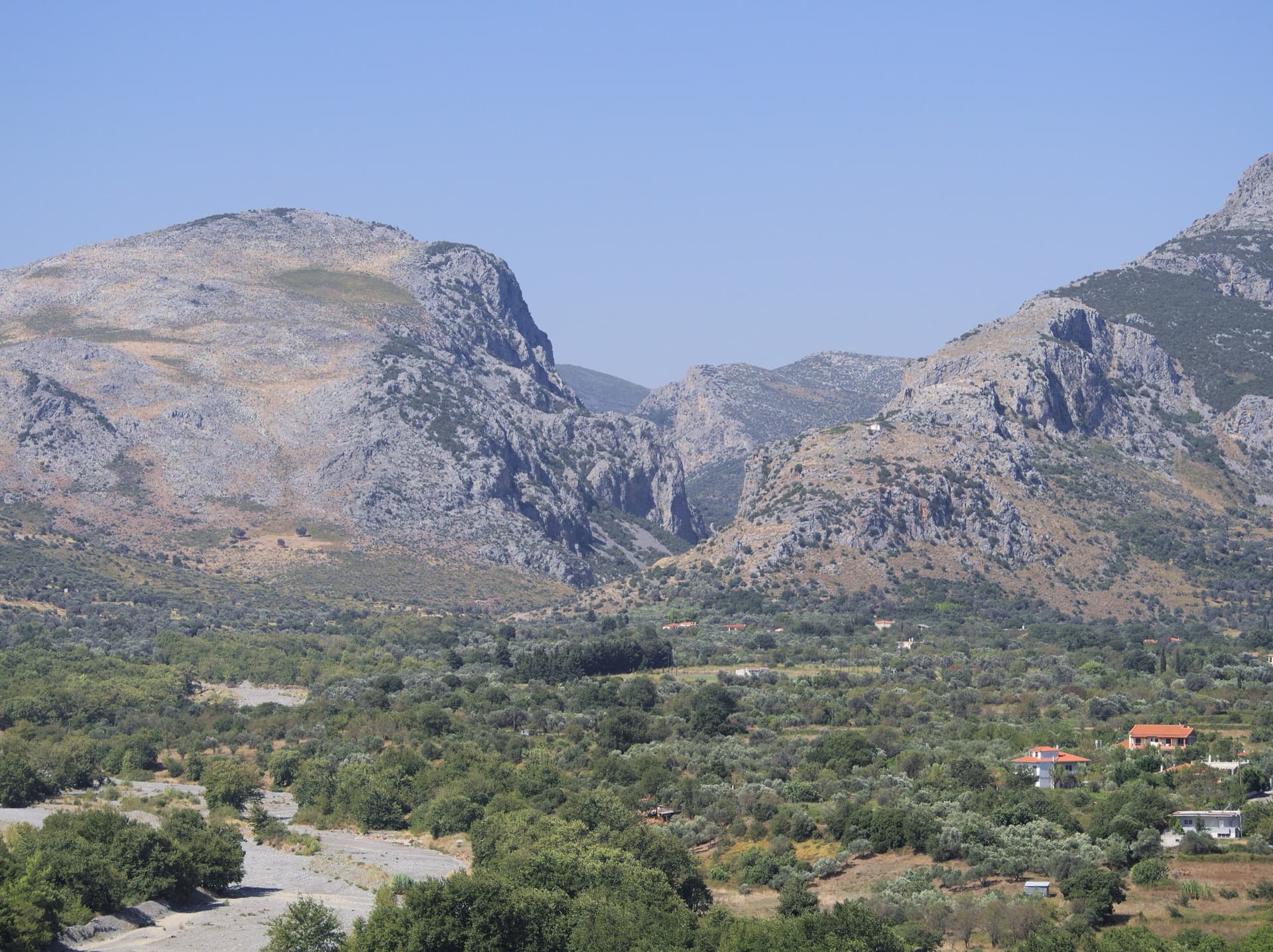
The mouth of the Manikiatis gorge on Evia, where the Manikia crags line both sides of the valley

Greece · Manikia (Evia)

Geia Sas Arete

Technical crimping on vertical and gently overhanging limestone up the right edge of a clean, remote wall: two long 6c+ pitches, a roof on hidden jugs and an exposed ridge to finish on a real summit. In the shade all morning, with an approach of over an hour and nobody else around.

6c+5 pitches160 m

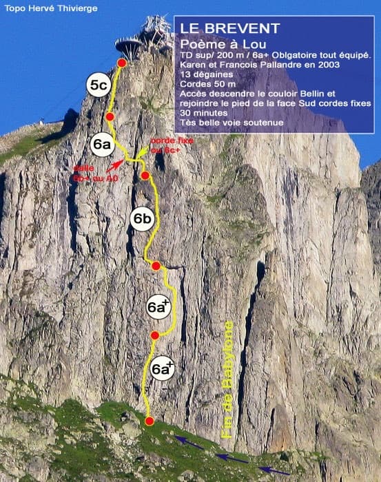
Photo-topo of Poème à Lou on the south face of Le Brévent by Hervé Thivierge, with pitch grades and the cable-car station at the top

France · Chamonix valley

Poème à Lou

Five long, steep and technical pitches up the south face of the Brévent, finishing beside the cable-car station. Sustained 6a+ to 6b wall climbing on small edges where reading the line is the main difficulty, with one short 6c+ traverse that has a fixed rope. Parties call it one of the best routes of its grade in the Aiguilles Rouges.

6c+5 pitches220 m

A view of the region, not this route's wall. The limestone walls of the Velika Paklenica canyon near its entrance.

Croatia · Paklenica

Bears on Toast

Two hard pitches up the water-worn slabs of the Stup, then two easy ones to finish. Pitch 1 pulls through a big roof on a hand crack; pitch 2 climbs the famous deep water grooves and ends on a holdless slab that many find the hardest part. bergsteigen.com calls the combination the best line on the Stup.

6c+4 pitches120 m

Compiled from published sources and last verified October 2026. Bolts, anchors and access change. Climbing is dangerous and you are responsible for your own decisions: check a current topo and read the disclaimer.