Multipitch Atlas

Geia Sas Arete

Manikia – Lower Valley, Abantes Buttress (right edge) · Manikia (Evia) · Greece

Bail with caveatsBolting confidence: medium

Technical crimping on vertical and gently overhanging limestone up the right edge of a clean, remote wall: two long 6c+ pitches, a roof on hidden jugs and an exposed ridge to finish on a real summit. In the shade all morning, with an approach of over an hour and nobody else around.

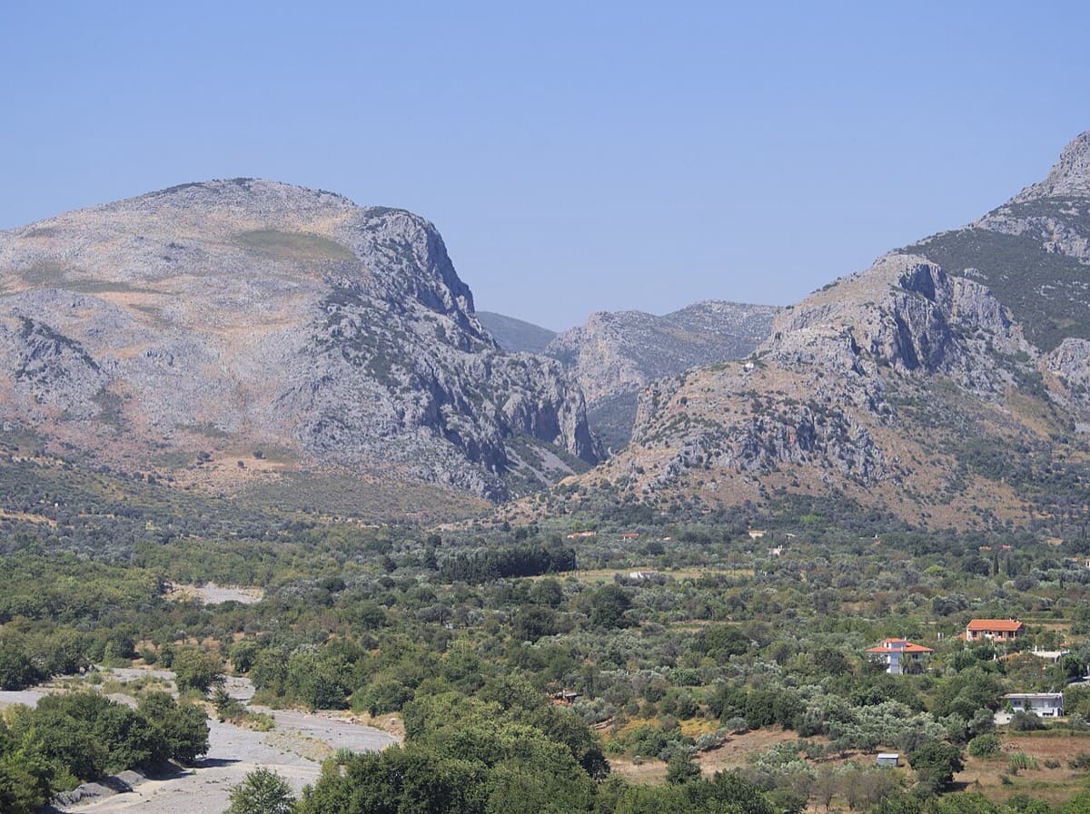
The mouth of the Manikiatis gorge on Evia, where the Manikia crags line both sides of the valleyPhoto: C messier · CC BY-SA 4.0

Photo

The mouth of the Manikiatis gorge on Evia, where the Manikia crags line both sides of the valleyPhoto: C messier · CC BY-SA 4.0
Hardest pitch
6c+
Pitches
5
Length
160 m
Approach
75 min
Aspect
–
Not recorded
Rope
1×80 m

The route

Overview

Geia Sas Arete (the name is the Greek greeting) follows the right edge of the Abantes Buttress, a strikingly clean wall on the south side of Manikia's Lower Valley. It is 160 m long in five pitches, with the difficulty concentrated in pitches 1 and 3, both 40 m and 6c+; the authors call the third a proud onsight for any 6c+ climber. The top 40 m are easy and feel like an alpine ridge. It is the most serious outing of the three Manikia additions: a long walk in, a walk-off, and a single source written by the first ascensionists.

The climbing

Pitch by pitch

Pitches of Geia Sas Arete
PitchGradeLengthBoltsNotes
P16c+40 m15 boltsWarm-up jugs up a rock scar lead to tricky pockets and a no-hands rest. Follow the groove out left through sustained 6b climbing to a short, sharp crux and a deep pocket, then more 6b to a big comfortable ledge.
P25c20 m6 boltsEasy cracks and face climbing with some shattered rock to a good stance. Can be linked with pitch 1 with extra quickdraws.
P36c+40 m18 boltsA long pitch with two distinct cruxes separated by 6b climbing and a couple of good rests: a few steep jugs and a great deal of technical crimping. Belay at a modest stance out left.
P46a+40 m10 boltsThrough an orange roof on hidden jugs and pinches, then up the airy broken arête to a huge ledge.
P55a20 m6 boltsAn exposed ridge to the summit and a belay on a small ledge.

Getting there

Approach

To the parking

Manikia and Vrysi are neighbouring villages near Kymi on the island of Evia, about 160 km and 2.5 to 3 h by car from Athens via the Chalkida bridge. A car is needed. Park at the Lower Valley parking at 38.53740, 24.04107 (given on Mountain Project and mapped in OpenStreetMap).

On foot · about 75 min

1 to 1.5 h, about 2.2 km. Walk down the dirt road and follow cairns round a small olive grove. Soon after, turn right at a fork on flat ground and follow cairns past many crags along the north side of the mountain; this is most of the walk. Continue past the To Reloi sector and across another scree field. At the next fork go uphill, more or less following the cliff line and a few cairns, to the buttress. The route starts at its right edge, left of a left-facing corner.

Map of the walk-in

  • Crag
  • Parking

Loading map

The point marks the crag, not the exact start of the route.

Coordinates · crag

38.53698, 24.02558

Parking

38.53740, 24.04107

Parking given on Mountain Project; OpenStreetMap parking node 10149048237

Point from Mountain Project area 122382878 (Abantes Buttress)

For your phone or watch

Download GPX

Contains the route point and parking. Opens in most mapping apps and GPS watches.

Points are compiled from published sources, with the precision stated above. They were not surveyed on the ground: check them against a current topo.

Getting down

Descent

Walk off from the summit following cairns; allow about 1 h. Abseiling the route is possible with an 80 m rope, but the authors warn it could be difficult from above pitch 5 because the rope may catch on rock horns along the ridge.

Retreat

Bailing off the route

Bail with caveats

The first ascensionists say the route can be abseiled with an 80 m rope, with a risk of the rope snagging on horns if you start from above pitch 5. Belays are on ledges or stances with bolts.

Retreat from
Any belay. The authors only flag the abseil from the summit, above pitch 5, as awkward.
Point of no return
From the summit, walking off is the better option.
Carry
An 80 m rope. Pitches 1, 3 and 4 are 40 m, so nothing shorter will reach.
Basis
Stated in the sourcesStated by the first ascensionists on Mountain Project; not confirmed by any repeat party.

Safety

Hazards

  • Single source, written by the first ascensionists; no repeat reports were found.
  • Some shattered rock on pitch 2 and a broken arête on pitch 4.
  • Remote for Manikia: over an hour from the car, with a walk-off of about an hour. The authors advise carrying a head torch.
  • Grades were given in the American system (5.11c, 5.9, 5.11c, 5.10b, 5.7) and are converted here.
  • Abseil ropes may snag on the summit ridge.

Sun and weather

Conditions

The wall is on the south side of the valley and stays in the shade all morning; the sun arrives in the early afternoon. That suits warm spring and autumn days and makes it cold in midwinter. The season given here is inferred from that, not stated by the source.

Usual season · Mar to May, Oct to Nov

Sun on the wall

No estimate: the wall's aspect is not recorded for this route.

Monthly climate averages for Manikia (Evia), 1991-2020
MeasureJanFebMar (usual season)Apr (usual season)May (usual season)JunJulAugSepOct (usual season)Nov (usual season)Dec
Mean daily high °C91013162125272724191511
Mean daily low °C4569131820211814106
Rain days 1 mm or more11996532257811

● marks the usual climbing season. Averages for 1991-2020 at about 432 m. Area climate from Open-Meteo reanalysis. Temperatures are adjusted to the height of the crag; rain comes from a grid cell of about 10 to 25 km, and summer highs on sea cliffs can read a few degrees low. The wall and valley can differ. Data: Open-Meteo, CC BY 4.0.

What to carry

Gear

18 quickdraws and an 80 m rope (first ascensionists). A few more quickdraws if you link pitches 1 and 2. Head torch for the walk out. Helmet.

Checklist

Quickdraws
18
Rope
1×80 m
Helmet
One each
Abseil device and prusik
The descent or the retreat involves abseiling

Derived from the route data; check it against a current topo

From climbers

Reader reports

Reader reports are not being collected yet. Until they are, check a current topo and the local club or guidebook publisher for recent changes to Geia Sas Arete.

Worth knowing

Tips

  • Pitches 1 and 2 link with a few extra quickdraws.
  • Start in the morning to climb the hard pitches in the shade, and keep the head torch handy for the walk out.

Open questions

Where sources disagree

  • None: there is only one source. Length is 159 m in its header and 160 m by adding its pitch lengths.
  • The area page gives two slightly different points for the buttress (38.53698, 24.02558 and 38.53683, 24.02509), about 45 m apart.

Provenance

Sources

Same area

More in Manikia (Evia)

All routes in Manikia (Evia)
The Manikiatis gorge at Manikia, Evia, seen from Ano Monodry

Greece · Manikia (Evia)

Efcharístisi

An even-graded route in a beautiful gorge setting: pocketed and sculpted slabs below, steeper walls above, with one athletic 6a+ move on P5. There are short walking transitions between the lower tiers.

6a+6 pitches200 m
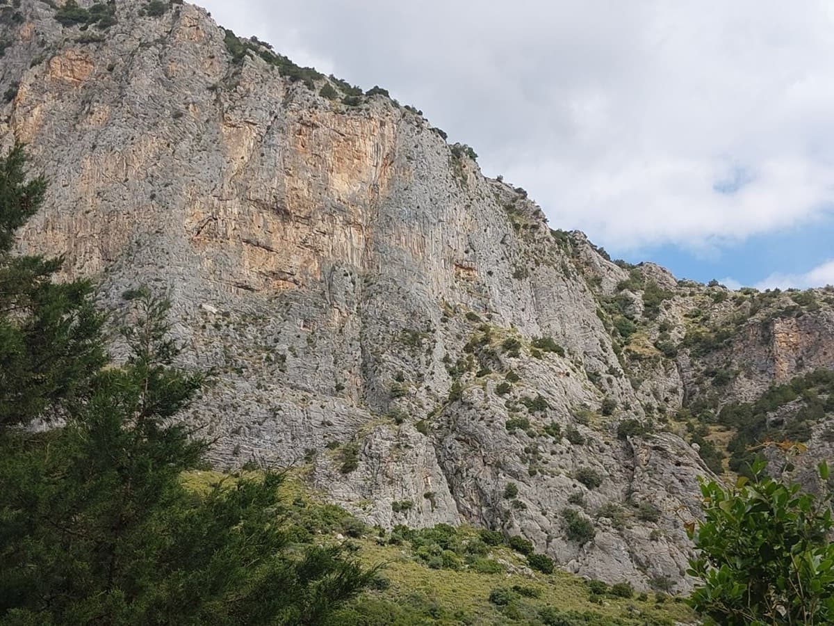
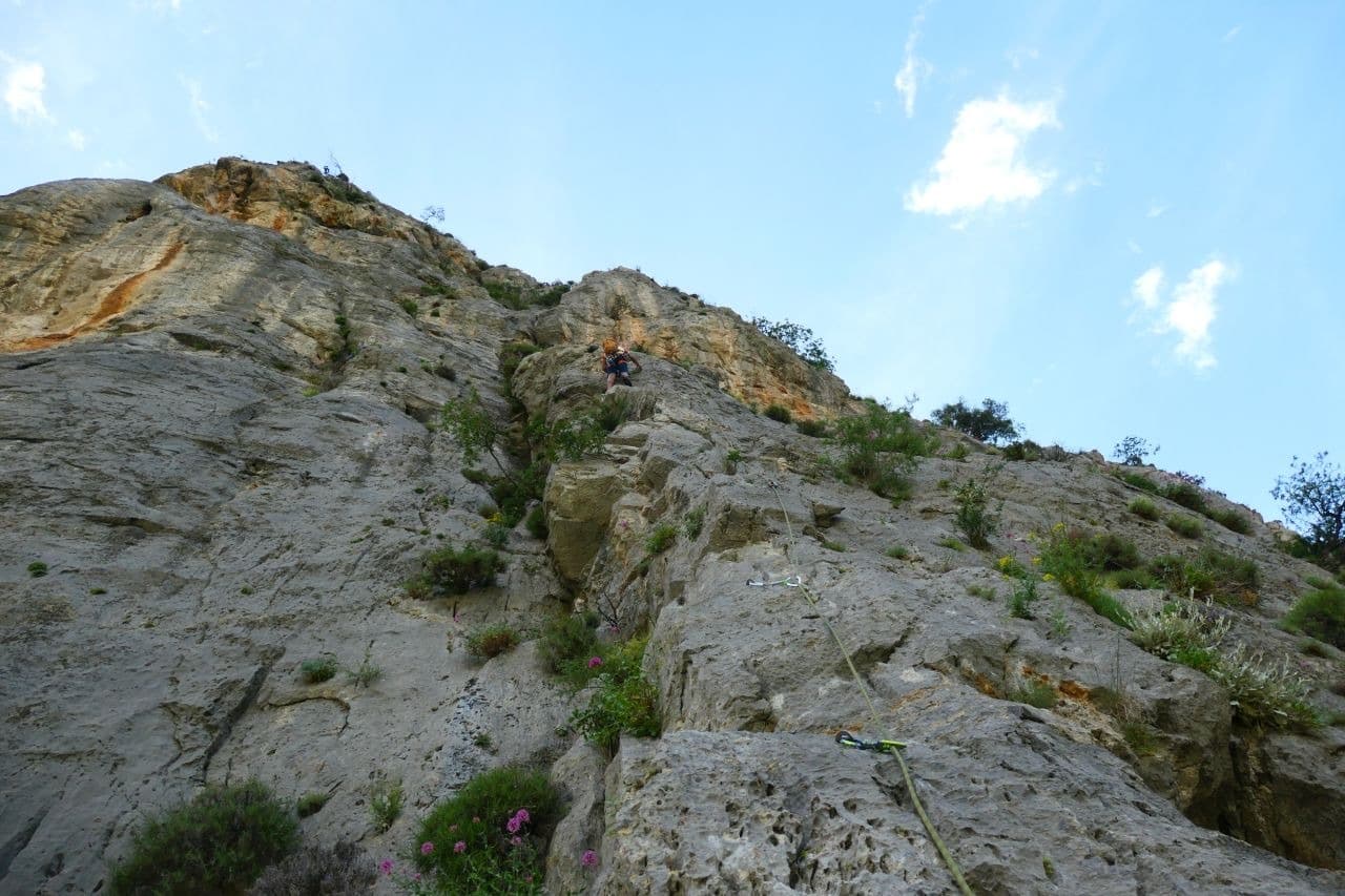
Limestone walls at Manikia, photographed on the day of a May 2026 ascent of To monopáti ton Chelonón

Greece · Manikia (Evia)

To monopáti ton Chelonón

A varied route in two tiers: two pitches of pocketed wall and sculpted slab, a walk across a big ledge, then four longer pitches up the main wall. The upper wall holds the 6c and a superb 40 m pitch of continuous vertical climbing. A quiet valley with a gentle walk down through meadow.

6c6 pitches200 m

Looking up Lía on the Sentinelle buttress, Manikia

Greece · Manikia (Evia)

Lía

Four long pitches up the right-hand pillar of the Sentinelle buttress on excellent rock: a pillar, a pocketed wall, an overhanging crack with a stiff exit, and a final pillar. Easy to find, well bolted and finished off with a playful via ferrata descent.

6b4 pitches150 m

Around 6c+ · about 5 pitches

Similar elsewhere

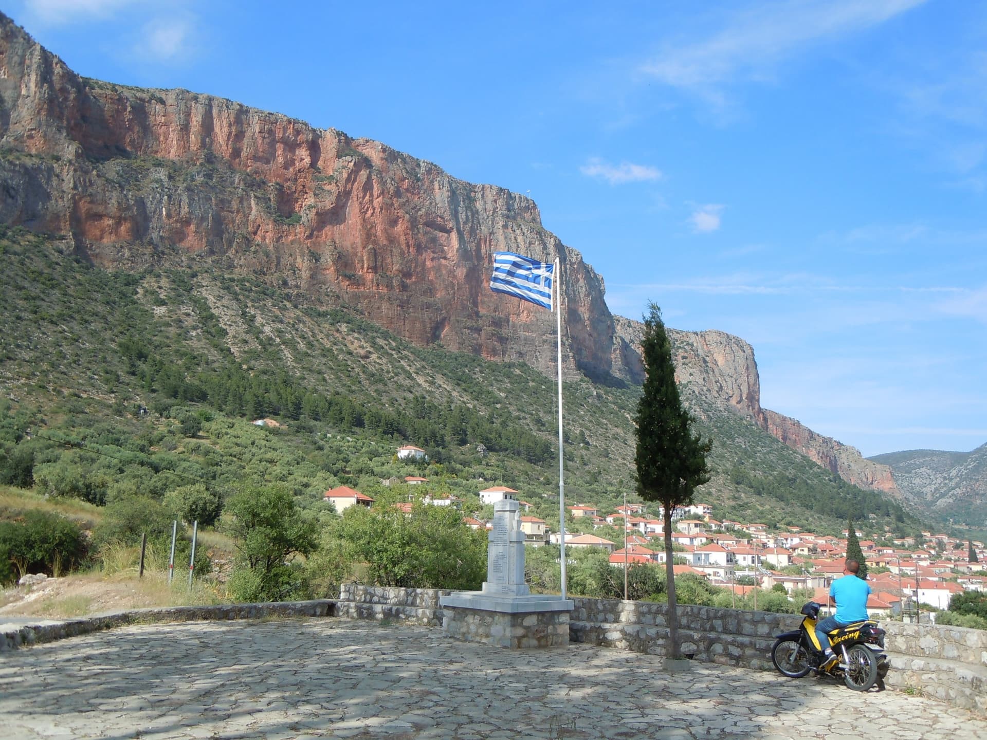
The red wall of Kokkinovrachos above Leonidio, seen from Agios Nektarios

Greece · Leonidio & Kyparissi

Ura Ka

Five long, very homogeneous pitches between 6b and 6c+ up the big red wall above Leonidio, finishing through an overhang on big holds. Rated three stars locally and more sustained than Aramis next door. For parties solid at 6c.

6c+5 pitches185 m

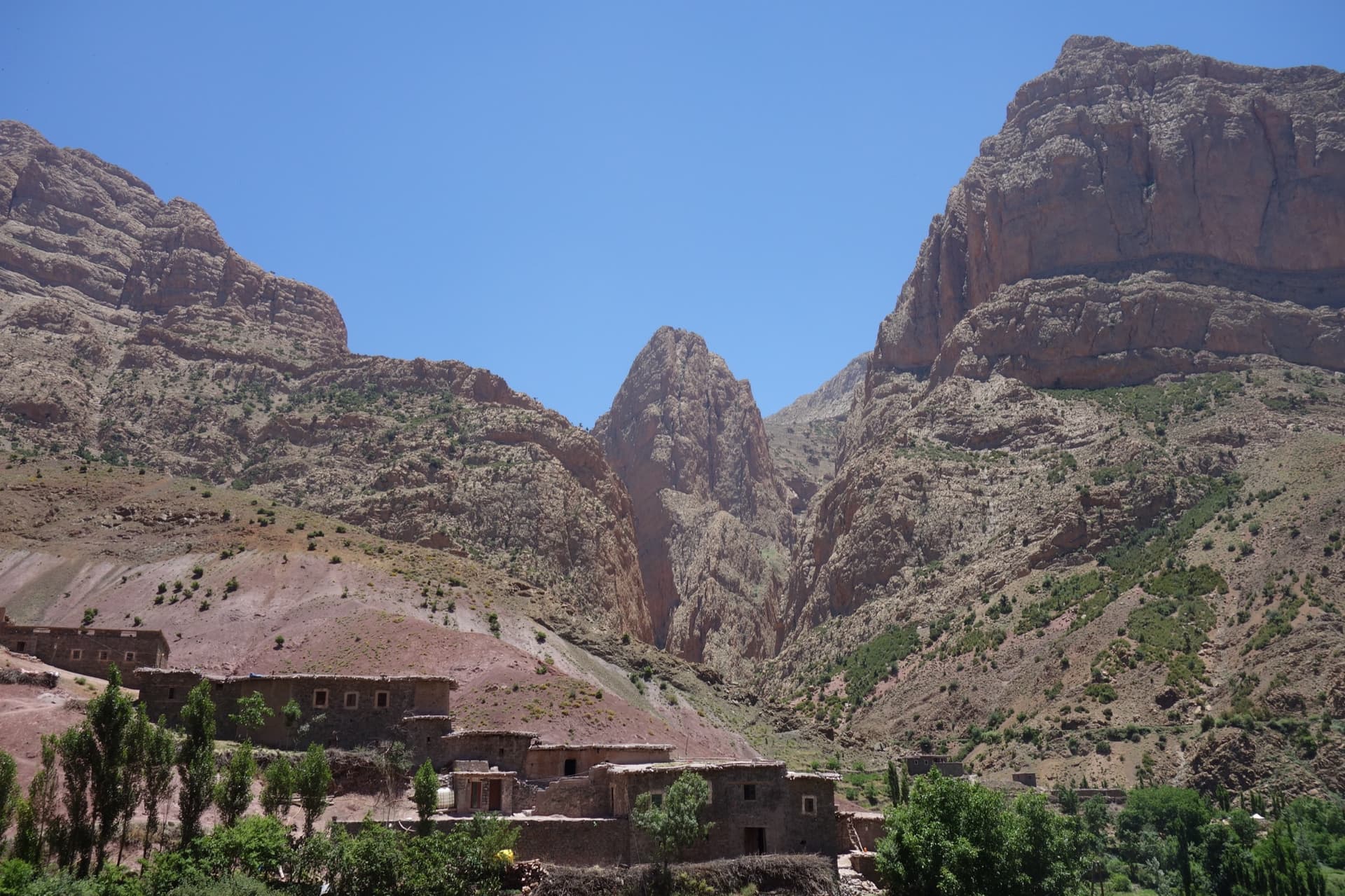
Taghia village beneath the pointed tower of the Taoujdad (centre), with the Oujdad massif at the right; the west face is the tower's right-hand flank, turned towards the Oujdad.

Morocco · Taghia

Champion du Maroc

Five pitches on new, very rough red rock just right of Au nom de la Réforme. The first three are steep, fingery and continuous with one short crux each; the last two are much easier. The original grades are 7a+, 7a and 6c+, now widely thought generous, and the cruxes are bolted closely enough to pull through.

6c+5 pitches200 m

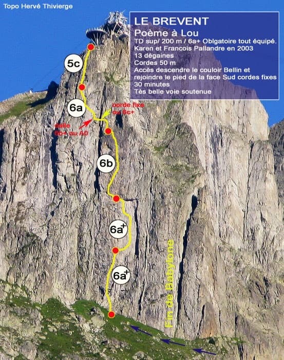
Photo-topo of Poème à Lou on the south face of Le Brévent by Hervé Thivierge, with pitch grades and the cable-car station at the top

France · Chamonix valley

Poème à Lou

Five long, steep and technical pitches up the south face of the Brévent, finishing beside the cable-car station. Sustained 6a+ to 6b wall climbing on small edges where reading the line is the main difficulty, with one short 6c+ traverse that has a fixed rope. Parties call it one of the best routes of its grade in the Aiguilles Rouges.

6c+5 pitches220 m

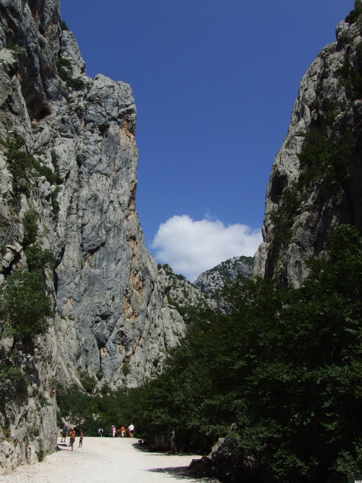
A view of the region, not this route's wall. The limestone walls of the Velika Paklenica canyon near its entrance.

Croatia · Paklenica

Bears on Toast

Two hard pitches up the water-worn slabs of the Stup, then two easy ones to finish. Pitch 1 pulls through a big roof on a hand crack; pitch 2 climbs the famous deep water grooves and ends on a holdless slab that many find the hardest part. bergsteigen.com calls the combination the best line on the Stup.

6c+4 pitches120 m

Compiled from published sources and last verified October 2026. Bolts, anchors and access change. Climbing is dangerous and you are responsible for your own decisions: check a current topo and read the disclaimer.