Multipitch Atlas

Lía

Manikia – Lower Valley, Sentinelle · Manikia (Evia) · Greece

Bail not documentedBolting confidence: high

Four long pitches up the right-hand pillar of the Sentinelle buttress on excellent rock: a pillar, a pocketed wall, an overhanging crack with a stiff exit, and a final pillar. Easy to find, well bolted and finished off with a playful via ferrata descent.

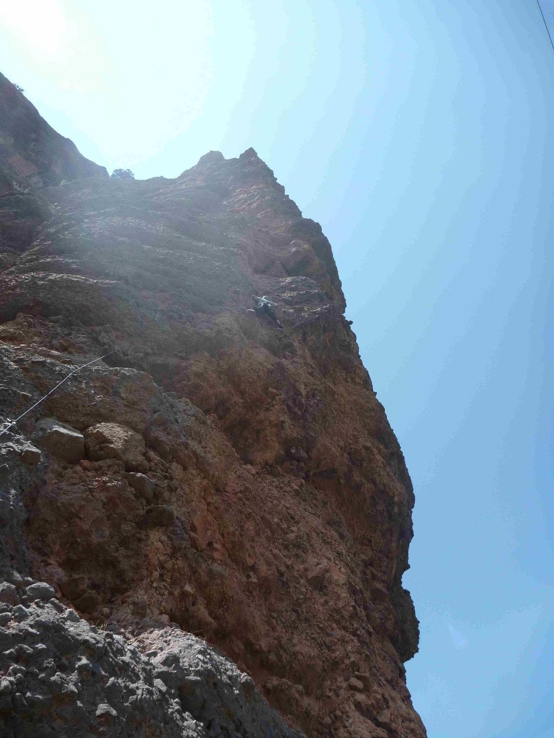
Looking up Lía on the Sentinelle buttress, ManikiaPhoto: eusebio · CC BY-NC-ND 3.0

Photo

Looking up Lía on the Sentinelle buttress, ManikiaPhoto: eusebio · CC BY-NC-ND 3.0
Hardest pitch
6b
Pitches
4
Length
150 m
Approach
25 min
Aspect
NW
North-west-facing
Rope
2×50 m

The route

Overview

Lía is the most approachable of the three multi-pitch routes on Sentinelle, a buttress on the left side of Manikia's Lower Valley; its neighbours Myttk and Sentinelle are 6c+ and 7a. It has four pitches of about 40 m with one 6b, and with 13 logged ascents on theCrag and 7 on UKC it is among the most repeated long routes in the area. You walk off, which avoids the abseil complications reported on other Manikia multi-pitches. There are single-pitch routes at the top of the buttress if you want more climbing.

The climbing

Pitch by pitch

Pitches of Lía
PitchGradeLengthNotes
P15c40 mA pillar on very good rock.
P26a+40 mA wall of pockets and small edges.
P36b35 mAn overhanging crack, then a wall. A May 2026 party found one hard move leaving the overhang at the start, possibly 6c.
P46a40 mA pillar to the top of the buttress.

Getting there

Approach

To the parking

Manikia and Vrysi are neighbouring villages near Kymi on the island of Evia, about 160 km and 2.5 to 3 h by car from Athens via the Chalkida bridge. A car is needed. Sentinelle is in the Lower Valley; the guidebook shows the parking and path. A party in 2024 notes that from the top you can return over a col to the car park.

On foot · about 25 min

20 to 30 min according to theCrag; camptocamp only says to follow the guidebook topo, and a 2026 party found the route very easy to find with it. Lía is route 5 on the Sentinelle page of the 2022 guide. Start at the right-hand side of the buttress below an obvious bolted pillar.

Map of the walk-in

  • Crag

Loading map

The point marks the crag, not the exact start of the route.

Coordinates · crag

38.53999, 24.03077

Point from camptocamp waypoint 1905793

For your phone or watch

Download GPX

Contains the route point. Opens in most mapping apps and GPS watches.

Points are compiled from published sources, with the precision stated above. They were not surveyed on the ground: check them against a current topo.

Getting down

Descent

On foot. A small via ferrata brings you back down to the foot of the route; the 2026 party enjoyed it. Alternatively go up and left from the top over the plateau to a col and walk back to the car park.

Retreat

Bailing off the route

Bail not documented

The normal descent is on foot from the top and no source describes abseiling Lía. The belays are bolted and the guidebook asks for two 50 m ropes on every Manikia multi-pitch, which would cover 40 m abseils, but abseil hardware at the stances is not confirmed.

Retreat from
Not documented.
Point of no return
Not documented. The route is only four pitches, so above pitch 2 finishing is probably quicker than retreating.
Carry
Two 50 m ropes, maillons and cord if you want the option.
Basis
Inferred from the route factsSources describe only the walk-off; the rope advice is the guidebook's general recommendation as quoted on the UKC forum.

Partly inferred from the route facts

Safety

Hazards

  • The move out of the overhang at the start of pitch 3 may be harder than 6b (6c suggested in 2026).
  • The descent via ferrata is not described in detail by any source; a sling and karabiner to clip in is a sensible precaution.
  • Other Manikia multi-pitches have a reputation for stiff grades and rough paths; allow time.

Sun and weather

Conditions

North-west facing at about 410 m (camptocamp); theCrag tags it west, with sun in the afternoon. Camptocamp lists September to May. A mid-May party had fine weather and no complaints about heat.

Usual season · Jan to May, Sep to Dec

Sun on the wall · NW-facing

Working out the sunlit hours for this month.

  • January (usual season): not yet worked out
  • February (usual season): not yet worked out
  • March (usual season): not yet worked out
  • April (usual season): not yet worked out
  • May (usual season): not yet worked out
  • June: not yet worked out
  • July: not yet worked out
  • August: not yet worked out
  • September (usual season): not yet worked out
  • October (usual season): not yet worked out
  • November (usual season): not yet worked out
  • December (usual season): not yet worked out

Sun on the wallDaylight, wall in shade● Usual season

Estimated from the wall's aspect only. Ignores surrounding terrain, gullies and the wall's exact shape. Clock times are local to the wall (Greek time), for the 15th of each month.

Monthly climate averages for Manikia (Evia), 1991-2020
MeasureJan (usual season)Feb (usual season)Mar (usual season)Apr (usual season)May (usual season)JunJulAugSep (usual season)Oct (usual season)Nov (usual season)Dec (usual season)
Mean daily high °C91013162125272724191511
Mean daily low °C4569131820211814106
Rain days 1 mm or more11996532257811

● marks the usual climbing season. Averages for 1991-2020 at about 432 m. Area climate from Open-Meteo reanalysis. Temperatures are adjusted to the height of the crag; rain comes from a grid cell of about 10 to 25 km, and summer highs on sea cliffs can read a few degrees low. The wall and valley can differ. Data: Open-Meteo, CC BY 4.0.

What to carry

Gear

13 quickdraws plus what you need for the belays. The guidebook recommends two 50 m ropes for all Manikia multi-pitches; with the walk-off a single rope long enough for 40 m pitches is all the climbing needs. Helmet.

Checklist

Quickdraws
13
Rope
2×50 m
Helmet
One each
Maillons or spare karabiners
To leave behind if you retreat
Cord
Mentioned for retreat

Derived from the route data; check it against a current topo

From climbers

Reader reports

Reader reports are not being collected yet. Until they are, check a current topo and the local club or guidebook publisher for recent changes to Lía.

Worth knowing

Tips

  • Combine with the single pitches at the top of the buttress.
  • If 6b feels hard on the day, the pitch 3 crux is right at the start, by the bolts.

Open questions

Where sources disagree

  • Length: 150 m (camptocamp; its pitch lengths add up to 155 m) against 140 m (theCrag and UKC).
  • Aspect: north-west (camptocamp) against west (theCrag).
  • theCrag lists 'Bolts: 13'; UKC says 13 quickdraws are required, which is the likelier meaning for four pitches of about 40 m.

Provenance

Sources

Same area

More in Manikia (Evia)

All routes in Manikia (Evia)
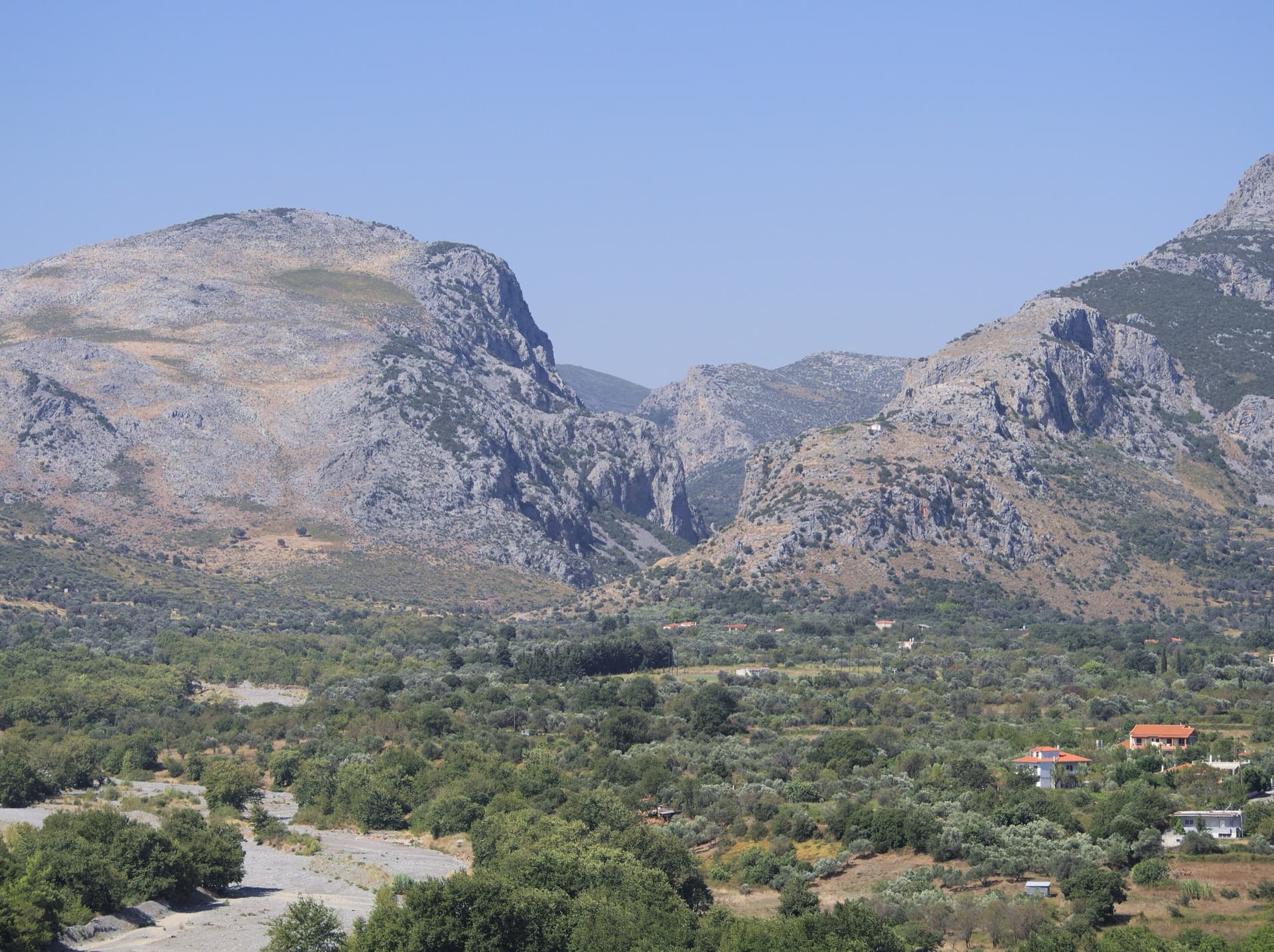
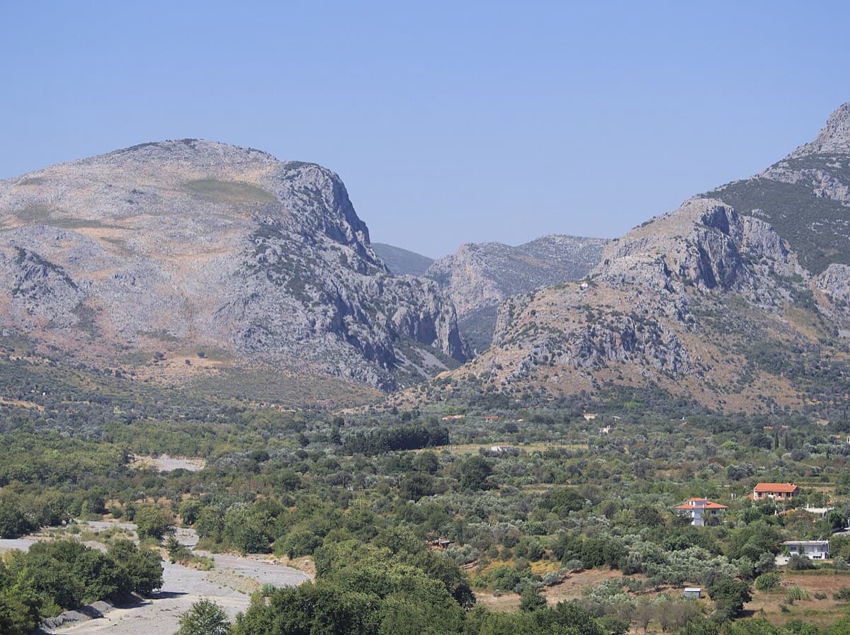
The Manikiatis gorge at Manikia, Evia, seen from Ano Monodry

Greece · Manikia (Evia)

Efcharístisi

An even-graded route in a beautiful gorge setting: pocketed and sculpted slabs below, steeper walls above, with one athletic 6a+ move on P5. There are short walking transitions between the lower tiers.

6a+6 pitches200 m
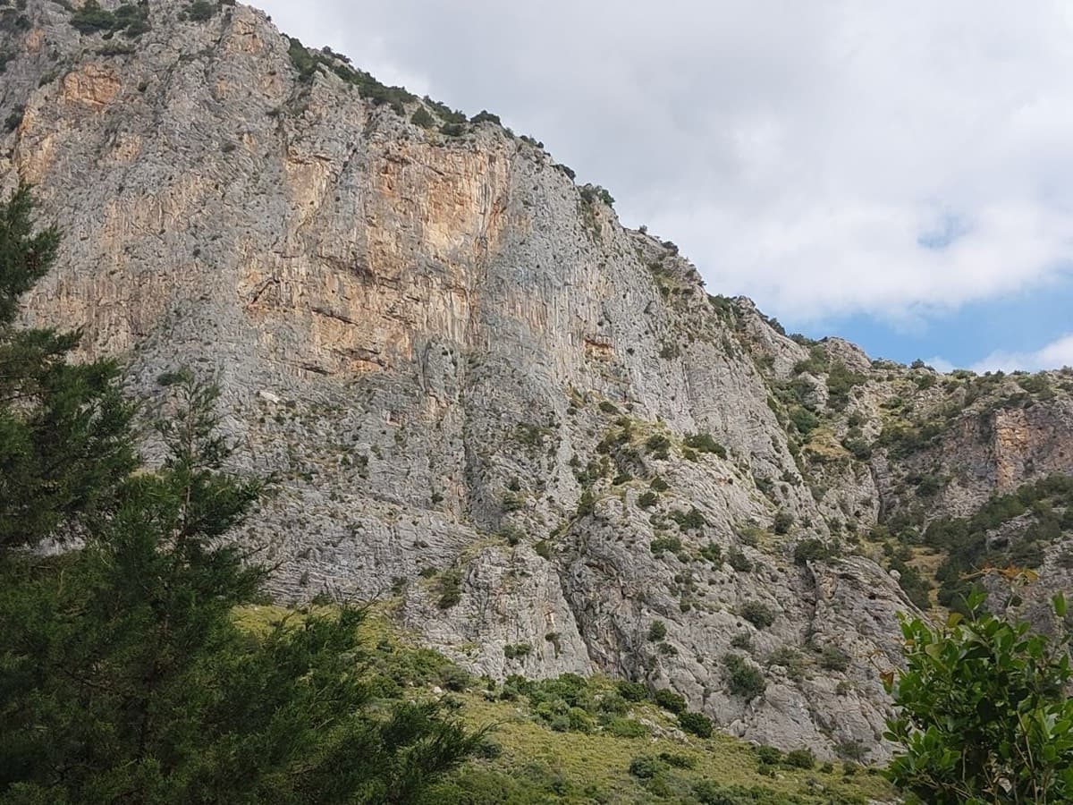
Limestone walls at Manikia, photographed on the day of a May 2026 ascent of To monopáti ton Chelonón

Greece · Manikia (Evia)

To monopáti ton Chelonón

A varied route in two tiers: two pitches of pocketed wall and sculpted slab, a walk across a big ledge, then four longer pitches up the main wall. The upper wall holds the 6c and a superb 40 m pitch of continuous vertical climbing. A quiet valley with a gentle walk down through meadow.

6c6 pitches200 m

The mouth of the Manikiatis gorge on Evia, where the Manikia crags line both sides of the valley

Greece · Manikia (Evia)

Geia Sas Arete

Technical crimping on vertical and gently overhanging limestone up the right edge of a clean, remote wall: two long 6c+ pitches, a roof on hidden jugs and an exposed ridge to finish on a real summit. In the shade all morning, with an approach of over an hour and nobody else around.

6c+5 pitches160 m

Around 6b · about 4 pitches

Similar elsewhere

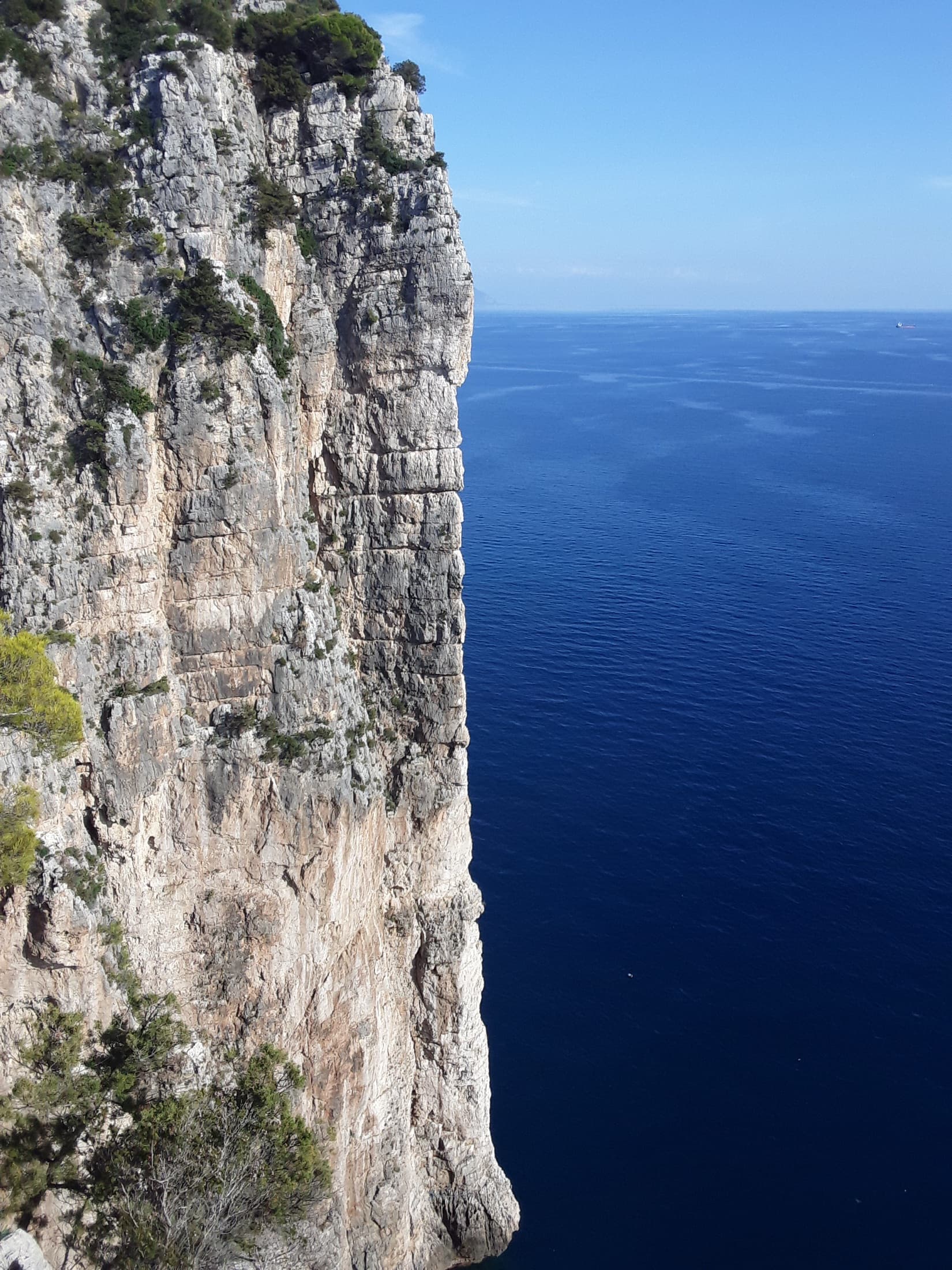
The vertical limestone spur of La Croce del Sud dropping straight into the Tyrrhenian Sea at the Montagna Spaccata, Gaeta.

Italy · Gaeta & Sperlonga

La Croce del Sud

The showpiece of the Montagna Spaccata: four steep, exposed pitches up a knife-edge spur that drops straight into the sea, reached by abseil. Sustained around 6a+ on good holds, with an overhang at 6b to finish.

6b4 pitches120 m

Read the cautionsCommitting

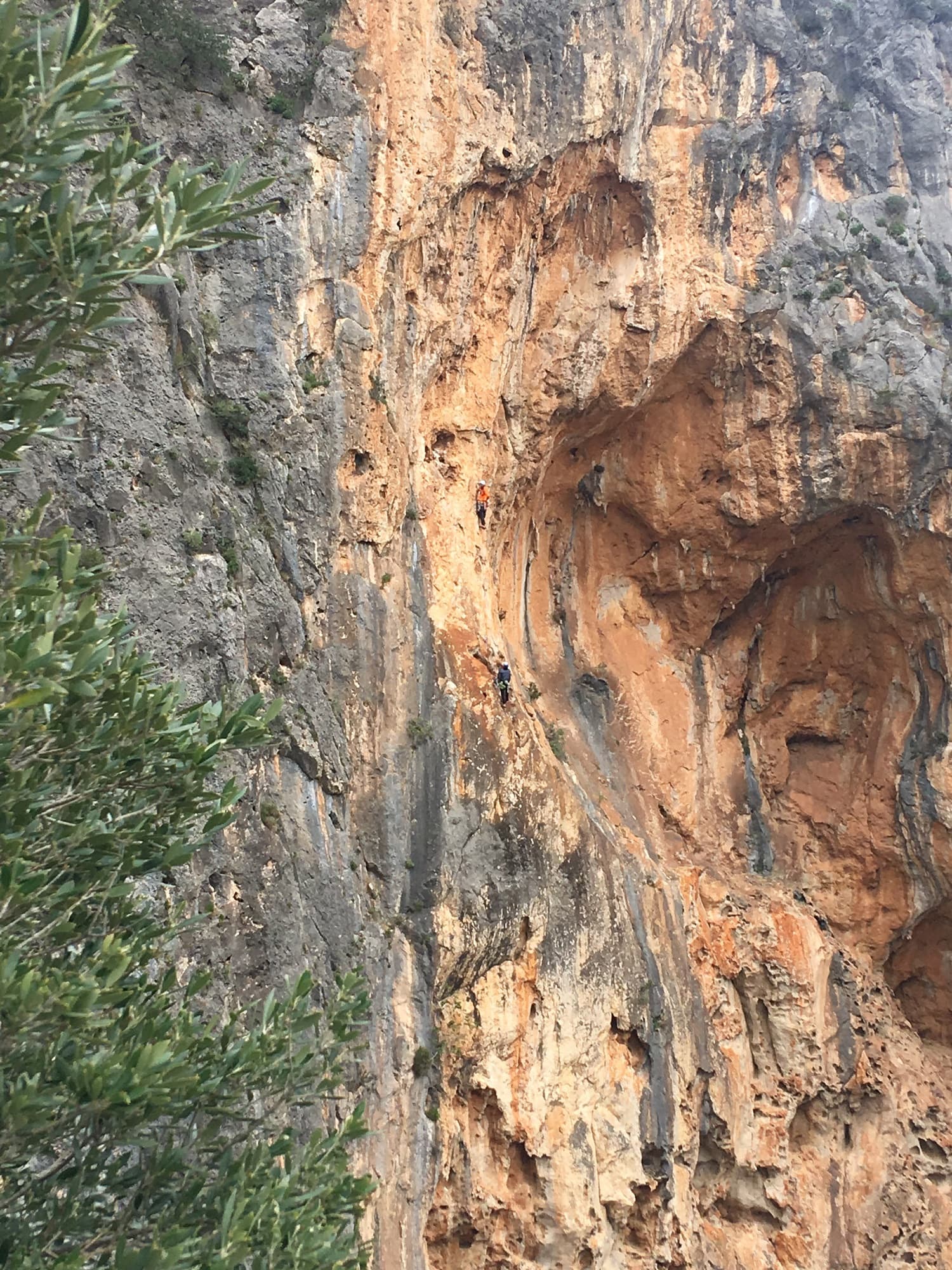
A party on one of the bolted multipitch routes on the orange walls right of the Albahida ridge at Sa Gubia, photographed from Albahida in April 2019. The route they are on is not identified.

Spain · Mallorca (Sa Gubia)

Vía de los Bomberos

The best line of clean rock up the huge left wall of the Sa Gubia amphitheatre, and a Rockfax top-50 route. Four long pitches, sustained at 6a to 6b but never desperate, starting up a big white tufa, with fine positions at the stances. The route stops below the ridge and you abseil.

6b4 pitches135 m

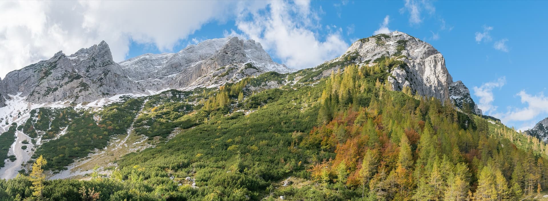
Mala Mojstrovka (left) and Nad Šitom glava (right) from the Vršič Pass in autumn; the routes are on the pale rock wall of Nad Šitom glava above the larches.

Slovenia · Vršič Pass (Julian Alps)

Mandolinca

A compact modern sport multipitch by Tomo and Dragica Česen, front-loaded with its longest and hardest pitch. It is close to the road and good for a half-day.

6b4 pitches90 m

Looking up the first pitch of Matute on the Agulla del Gos, Collegats, with a climber high on the pinnacle

Spain · Collegats

Matute

Four steep pitches up the pinnacle that leans against the Paret del Pessó, five minutes from the car. Rounded bulges and big holds in the style of Riglos: an athletic first pitch, an overhanging jug traverse, then easier bellies to the top.

6b4 pitches125 m

Compiled from published sources and last verified October 2026. Bolts, anchors and access change. Climbing is dangerous and you are responsible for your own decisions: check a current topo and read the disclaimer.