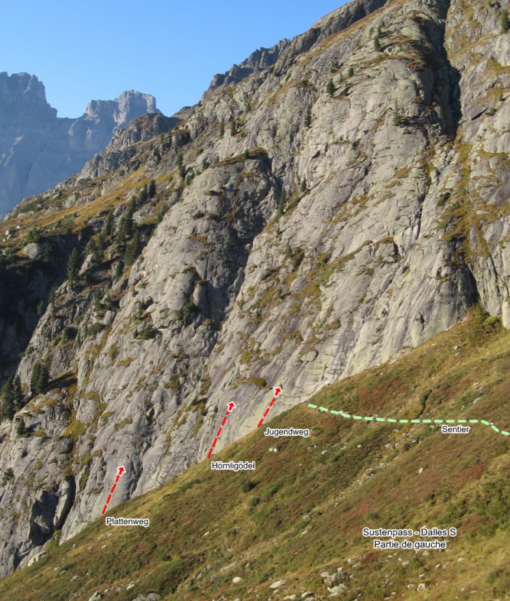
Switzerland · Susten
Plattenweg
Relaxed, low-angle granite slab climbing on small edges, 15 minutes from the Sustenpass road. It makes an ideal first alpine-granite multipitch.
5b+7 pitches200 m
Pfriendler – south face (Steingletscher) · Susten · Switzerland
Easy to bailBolting confidence: high
Five sustained pitches up the steep part of the Pfriendler's south face, harder and quieter than Via Fritz and Tröimli. Flakes and mantels, thin cracks, a nearly overhanging start on enormous holds and a finish laybacking an arête. Steep but very featured gneiss.
The route
Promenade is the pick of the 6a routes on the Pfriendler, the popular gneiss pillar above the Susten Pass road. It is short at five pitches but every one except the second is sustained around 5c+ to 6a, on steep rock with big sculpted holds and a few delicate slab finishes. It was rebolted in 2015 and the belays are chained, so the three abseils back down run smoothly. Parties regularly have it to themselves while Via Fritz and Tröimli queue.
The climbing
| Pitch | Grade | Notes |
|---|---|---|
| P1 | 5c+ | Steep, from flakes to mantels with a delicate finish. A 2024 party thought this close to the hardest pitch, a soft 6a. |
| P2 | 5a | An easy pitch. |
| P3 | 5c+ | Thin cracks and slabs, then a steep finish on magnificent big holds. |
| P4 | 6a | Almost overhanging at the start but on enormous holds, then along cracks to a delicate slab finish. Taking the crack on the left near the top, clipping a blue hanger and traversing back right to the belay brings it down to about 5c. |
| P5 | 5c+ | A tight corner climbed mostly on the slab to its right, then a pull onto the arête and a layback up the edge. A 2021 party thought it 6a. |
Getting there
The Pfriendler stands above the Susten Pass road on the Bernese side, above Steingletscher. Drive from Innertkirchen through Gadmen or from Wassen over the pass. Coming from Innertkirchen, pass the Hotel Steingletscher, go round the hairpin and through the short tunnel with the Wysse Bach waterfall running over it, then park on the left by the 25 km marker stone before the next gallery. The lay-by is small and fills early on fine weekends (full by 09:30 in one 2019 report). A seasonal postbus from Meiringen reaches Steingletscher; one 2021 party arrived at 09:44 and had a single afternoon bus back at 17:20, so check the timetable.
From the 25 km lay-by a cairned path with blue paint marks climbs north to the pillar, which is easy to pick out from below. It is clear at first, fades where it crosses a boulder field, then reappears higher up and reaches the foot of the wall at about 2340 m. Allow 45 minutes to 1 hour from the lay-by. From Steingletscher (public transport) take the hiking trail north, turn left at the fork, cross the pass road and join the same path; the SAC portal gives 45 minutes to 1 hour 15 for the approach and grades it T3. Promenade is on the main south face; follow the yellow hangers.
Loading map
The point marks the crag, not the exact start of the route.
Parking
Steingletscher access point (camptocamp waypoint 117538); the lay-bys used for the crags are a little further up the pass road
Point from camptocamp waypoint 376277 (Sustenpass – Pfriendler summit)
Contains the route point and parking. Opens in most mapping apps and GPS watches.
Points are compiled from published sources, with the precision stated above. They were not surveyed on the ground: check them against a current topo.
Coordinates: 46.73909, 8.41909 (crag) · Parking: 46.73089, 8.42769
Getting down
Three abseils down the route from chained belays with two 50 m ropes. You can instead continue to the summit by the top of Tröimli and use the normal descents (two 45 m abseils on the west side, or the exposed west ridge and gully path).
Retreat
Easy to bail
Abseiling the route is the normal descent and the belays are chained, so you can go down from any stance with two 50 m ropes. The one reported nuisance on this wall is wind blowing the ropes sideways into flakes.
Safety
Sun and weather
South-facing gneiss between about 2340 m and 2514 m. The season runs from about June to October: a snow patch usually lies at the foot of the routes in June and can hide the painted names, and parties climbed in T-shirts in mid-August and comfortably in late October. The rock dries fast; one party found it dry the day after heavy rain. The pass road below is busy with motorbikes and noisy. It is a popular wall, with ten parties on it on a fine summer weekend. In strong wind the abseil ropes blow sideways and the terrain catches them; an August 2022 party on this wall lowered with coiled ropes.
Sun on the wall · S-facing
Working out the sunlit hours for this month.
Sun on the wallDaylight, wall in shade● Usual season
Estimated from the wall's aspect only. Ignores surrounding terrain, gullies and the wall's exact shape. Clock times are local to the wall (Central European time), for the 15th of each month.
| Measure | Jan | Feb | Mar | Apr | May | Jun (usual season) | Jul (usual season) | Aug (usual season) | Sep (usual season) | Oct (usual season) | Nov | Dec |
|---|---|---|---|---|---|---|---|---|---|---|---|---|
| Mean daily high °C | −4 | −3 | 1 | 3 | 8 | 12 | 15 | 15 | 11 | 7 | 1 | −3 |
| Mean daily low °C | −10 | −10 | −7 | −4 | 0 | 4 | 7 | 7 | 4 | −0 | −6 | −9 |
| Rain days 1 mm or more | 14 | 13 | 15 | 15 | 18 | 21 | 22 | 20 | 16 | 14 | 15 | 15 |
● marks the usual climbing season. Averages for 1991-2020 at about 2008 m. Area climate from Open-Meteo reanalysis. Temperatures are adjusted to the height of the crag; rain comes from a grid cell of about 10 to 25 km, and summer highs on sea cliffs can read a few degrees low. The wall and valley can differ. Data: Open-Meteo, CC BY 4.0.
What to carry
Two 50 m ropes and 11 quickdraws. Camptocamp states that cams are useless. Helmet.
Derived from the route data; check it against a current topo
From climbers
Reader reports are not being collected yet. Until they are, check a current topo and the local club or guidebook publisher for recent changes to Promenade.
Worth knowing
Open questions
Provenance
Same area
Switzerland · Susten
Relaxed, low-angle granite slab climbing on small edges, 15 minutes from the Sustenpass road. It makes an ideal first alpine-granite multipitch.
5b+7 pitches200 m
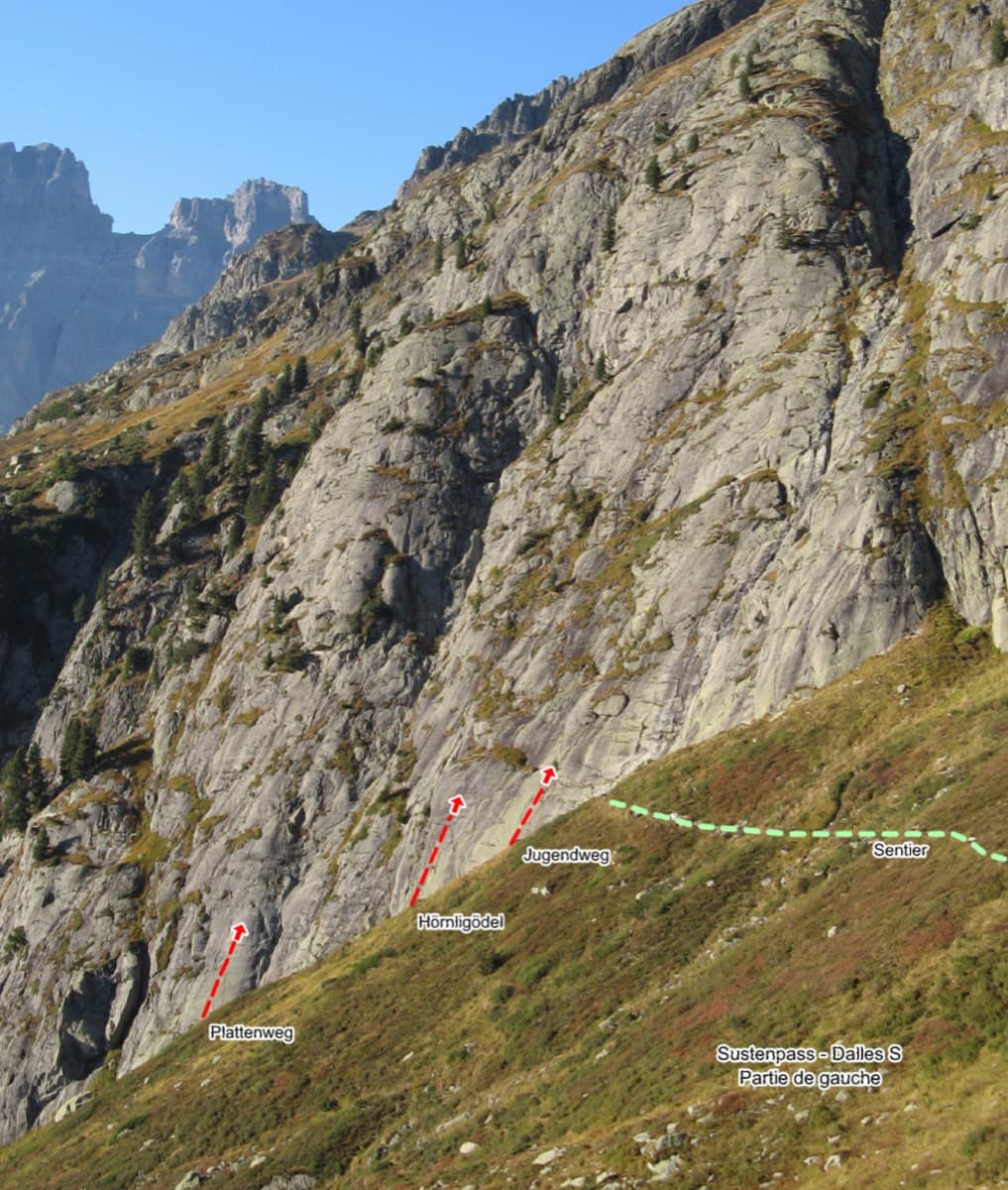
Switzerland · Susten
Seven easy, unsustained pitches of edged slab on the left side of the Steingletscher slabs, never harder than 4b. The line is obvious and the glacier scenery is the main event. A good first multipitch, and easy to pair with a neighbouring route the same day.
4b7 pitches200 m
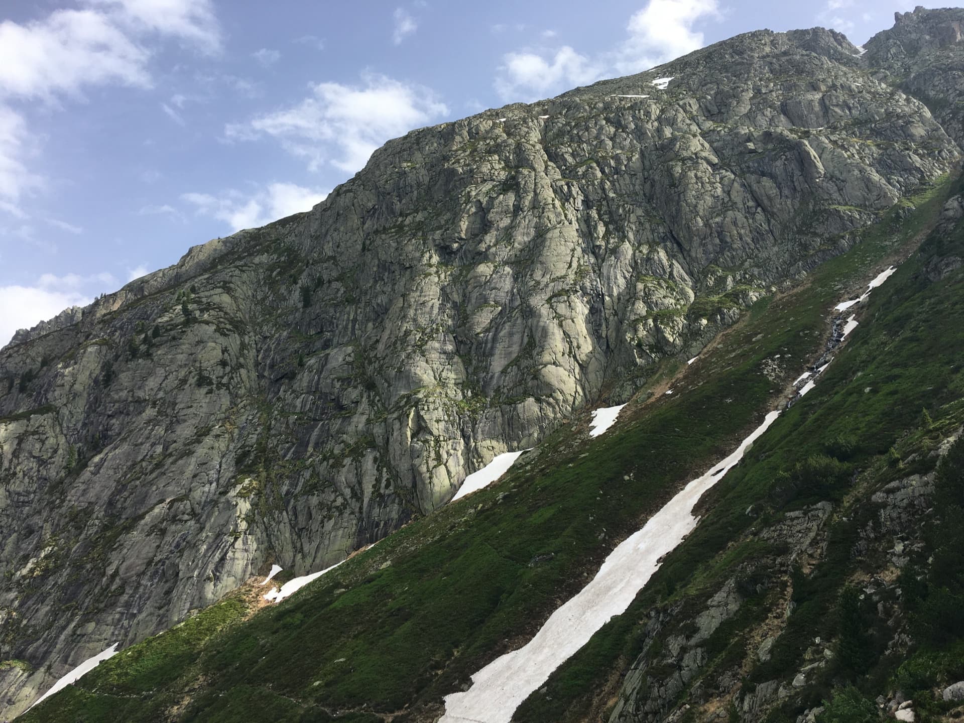
Switzerland · Susten
The second-to-last line on the right side of the Platten and one of the harder ones here. A corner and crack lead to a slab with a single 6a move, then the route follows cracks up the middle of clean slabs, with a long last pitch that steepens at the top. The two upper pitches are the best.
6a5 pitches165 m
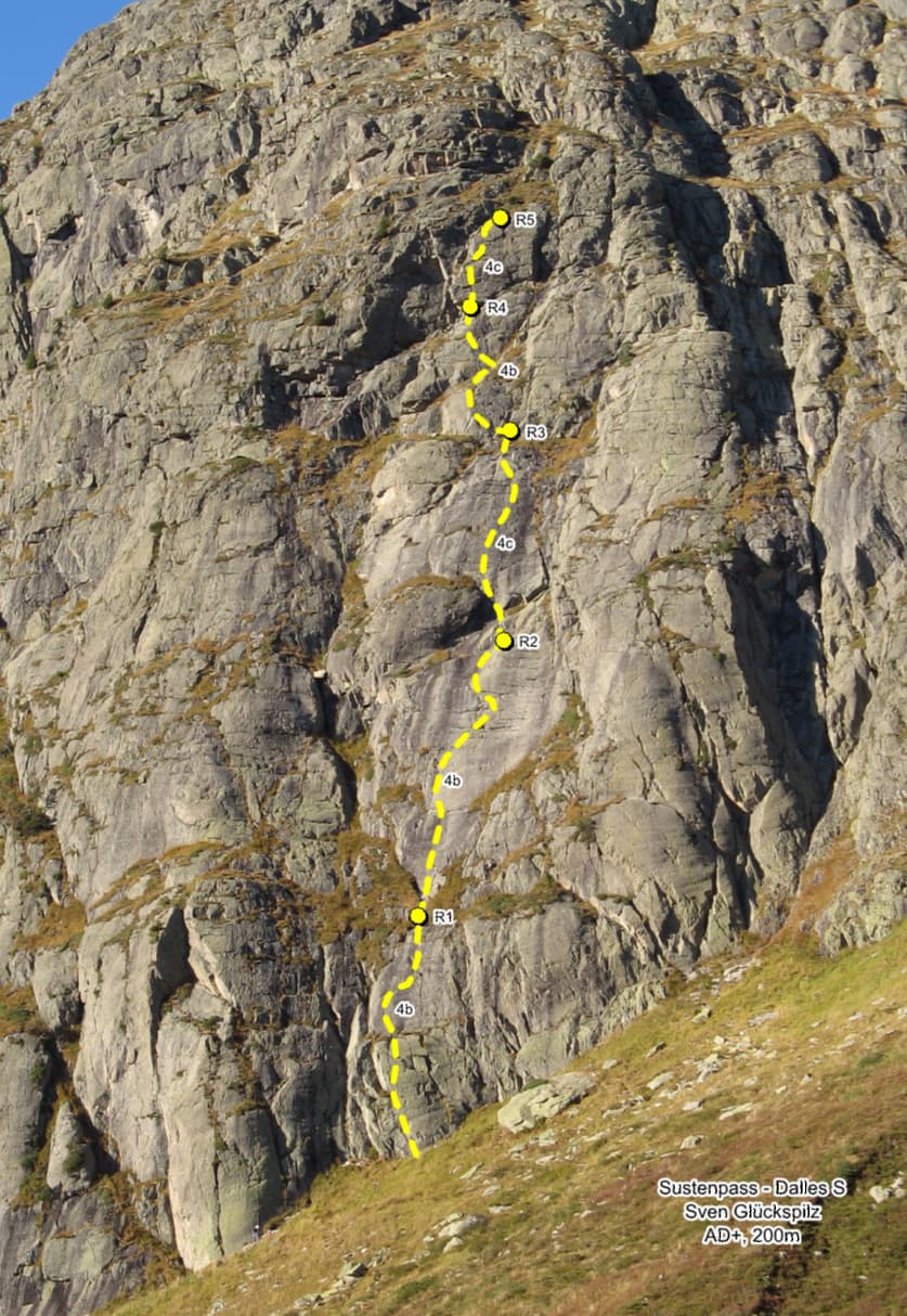
Switzerland · Susten
An easy slab route on the right-hand part of the Platten, a grade harder in feel than its neighbours. A small pillar and flakes lead to slabs, a slanting quartzite vein, a crack and a final short wall on big holds. Some passages are surprisingly sustained for 4c.
4c5 pitches200 m
Read the cautions
Around 6a · about 5 pitches
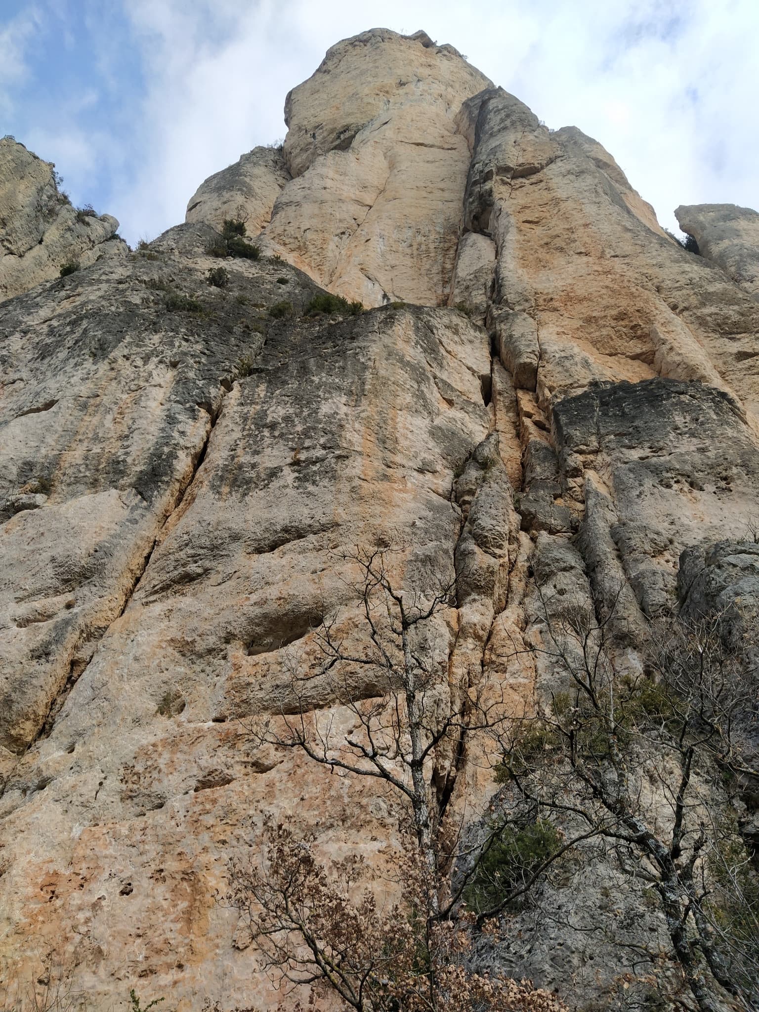
France · Gorges de la Jonte
Five pitches beside the Fusée monolith, built around a superb 35 to 40 m corner that ends under a big roof and escapes left across a wildly exposed but easy traverse. Rebolted in 2012 and better protected than most routes here. Rated a must at the grade by several recent parties.
6a5 pitches120 m
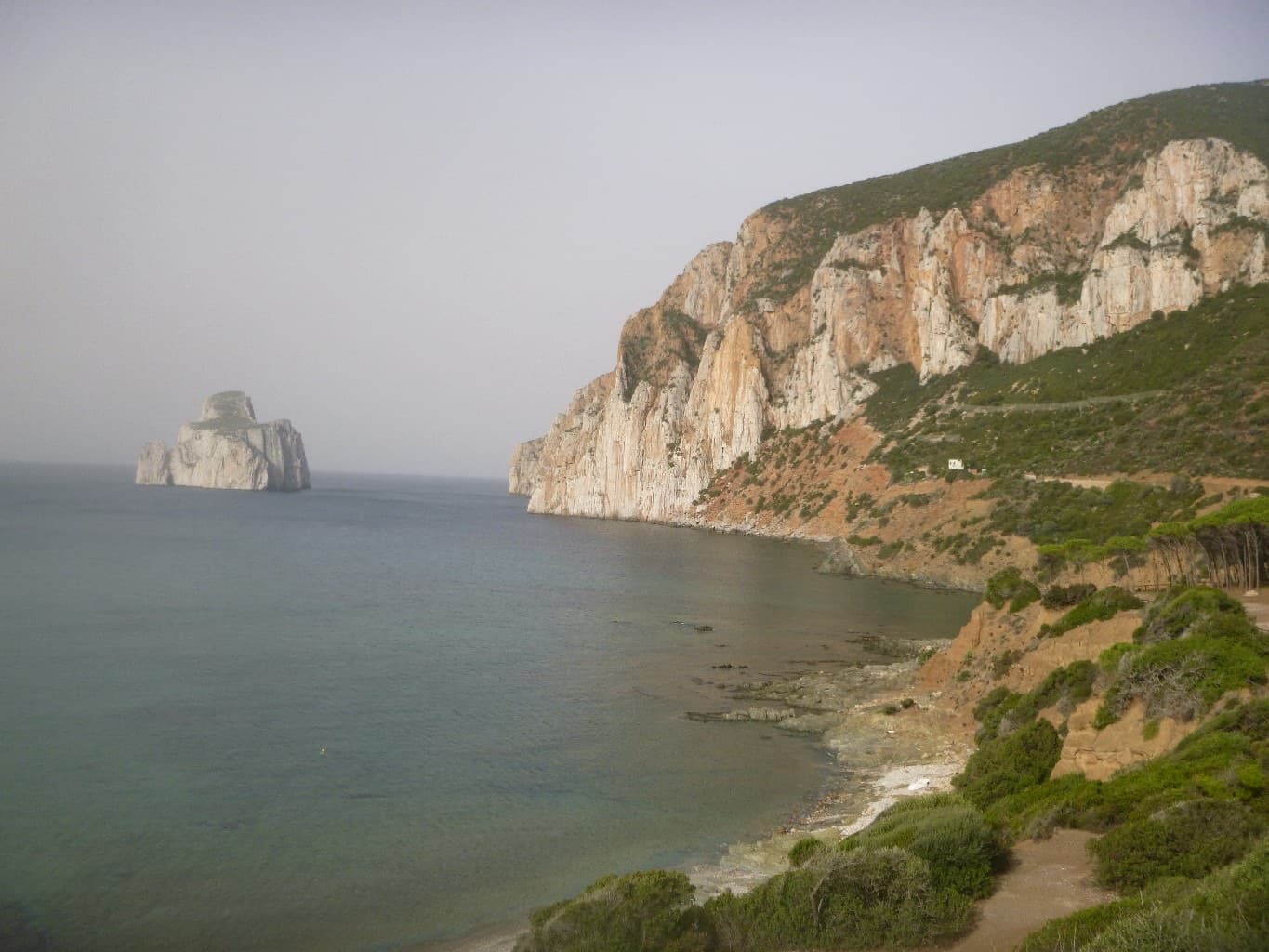
Italy · Sardinia
An easy line up the edge of the tall sea cliff beside Porto Flavia, starting a few metres above the water. The lower half is broken and unremarkable; the upper arête and slab are on superb, very abrasive grey limestone with a view of the Pan di Zucchero stack. Almost plaisir, in a serious place.
6a5 pitches160 m
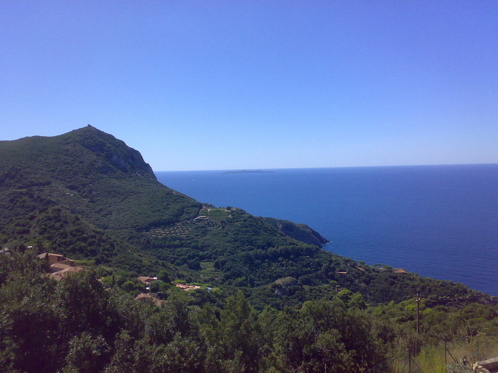
Italy · Monte Argentario
Three independent pitches on the wall below Capo d'Uomo, ending with a memorable 40 m wall of pockets, drips and flowstone at 6a. The route proper stops on the arête; the opener suggests carrying on up the last two pitches of the Spigolo Bonatti, an exposed 5c traverse and an easy ridge, to finish at the tower.
6a5 pitches200 m
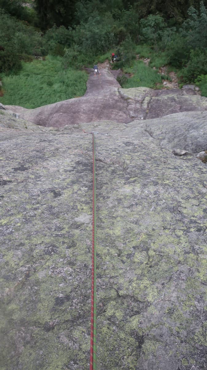
Switzerland · Grimsel
A short, varied granite route up a pale, smooth pillar across the valley from the Handegg slabs: a corner crack, then friction and edge slabs that get harder pitch by pitch. Grades are stiff, and the last pitch is sustained and tricky. A good half day or uncertain-weather route with a 15-minute approach.
6a5 pitches200 m
Compiled from published sources and last verified October 2026. Bolts, anchors and access change. Climbing is dangerous and you are responsible for your own decisions: check a current topo and read the disclaimer.