Multipitch Atlas

Specchio delle mie Brame

Lago di Agaro, Pinnacle sector (Premia) · Val d'Ossola · Italy

Read the cautionsEasy to bailBolting confidence: high

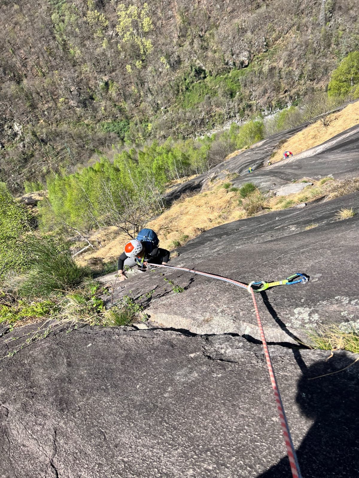
The classic moderate of the Agaro walls: 200 m of gneiss slab on edges and pockets above the reservoir. The first pitch has two hard moves of 6a to 6a+; after that it eases steadily to 5a. Bolts are spaced, so you need to be steady on 5c slab.

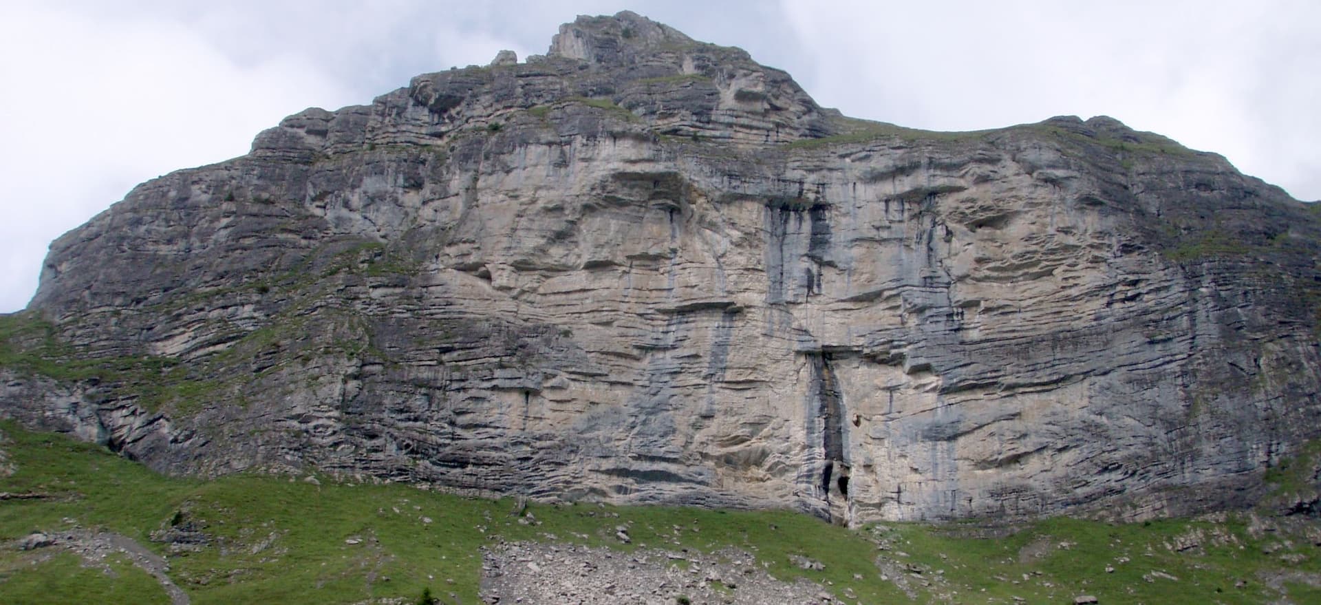
The slab walls above the Lago di Agaro seen from the damPhoto: maboro76 · CC BY-SA 3.0

Photo

The slab walls above the Lago di Agaro seen from the damPhoto: maboro76 · CC BY-SA 3.0
Hardest pitch
6a+
Pitches
6
Length
200 m
Approach
50 min
Aspect
S
South-facing
Rope
1×70 m or 2×60 m
Read before you go

Every pitch is bolted and the belays are new, but the bolts are 8 mm and spaced on the easier ground, with some loose rock.

The route

Overview

Specchio delle mie Brame is the most repeated route on the Pinnacle sector above the Lago di Agaro, opened in 2007 by the guides Paolo Stoppini and Alberto Giovanola with Fulvio Epifani. It starts about 50 m left of the big detached pillar and climbs six pitches of slab and short steps. The difficulty is concentrated in the first pitch, where the slab steepens; the third pitch, 45 m of sustained 5c, is the best. Gulliver.it's description praises the bolting, but it is spaced in the easier sections and several visitors found it more serious than the neighbouring Freedom. New belays were fitted before the 2026 season.
The climbing

Pitch by pitch

Pitches of Specchio delle mie Brame
PitchGradeLengthBoltsNotes
P16a+30 m12 boltsSlab and a step. The first bolts are high, then closer where the slab steepens for two hard moves on small edges with high feet, the second just below the belay. 6a on gulliver.it, 6a to 6a+ on camptocamp; the 6a move is obligatory.
P25c30 m–Start to the right, then a series of short walls. Not easy for the grade, and the bolts are far apart: in 2019 a party could not see the way across a slab to the third bolt, about 8 m away, and retreated. A large chalked flake is loose and best left alone.
P35c45 m–A very good long pitch, sustained without being hard, with one move of 6a and a short wall to finish.
P45b40 m–A lovely pitch on edges and pockets; the route eases.
P55a25 m–A short wall. Can be linked with pitch 6.
P65a25 m–A step with a good athletic exit. The last 5 m were wet in September 2025 but are well bolted. Some loose stones.

Getting there

Approach

To the parking

From the SS33 take the exit for the Valle Antigorio and Formazza and drive to Baceno, then towards Alpe Devero. After Goglio turn right at a penstock onto a very narrow, partly unsurfaced road through Ausone to the Agaro dam tunnel; a 2026 report notes a no-entry sign (authorised vehicles only) on this road. Park in the few spaces before the tunnel. The tunnel is 1.5 to 2 km long, single-lane and officially closed to traffic: most reports advise walking through (about 20 minutes, lights at the entrance, bring a torch). One 2026 party used e-bikes from the no-entry sign to the huts at the end of the lake.

On foot · about 50 min

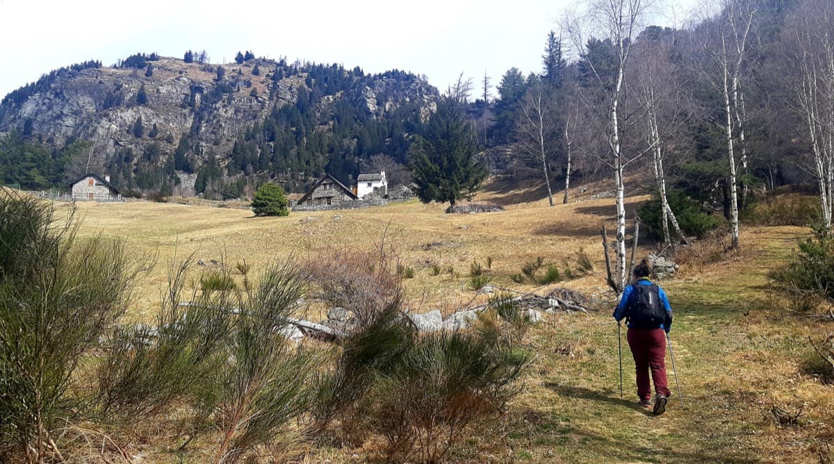
About 50 minutes from the parking. After the tunnel go up to the keeper's house and take the path along the lake to the concrete spillway. Climb briefly left and follow the path that runs parallel to the lakeside one to a big cairn, then go left up steep tracks with cairns to the foot of the wall. The track is hard to follow: two parties found it simpler to continue to the huts at the far end of the lake and go up a stony gully or dry stream bed, which only works when it is dry. The name 'Specchio' is written at the base and a big cairn marks the start.

Map of the walk-in

  • Crag
  • Parking

Loading map

The point marks the crag, not the exact start of the route.

Coordinates · crag

46.31000, 8.30584

Parking

46.29098, 8.30192

Spaces before the Agaro dam tunnel (camptocamp access waypoint 189957)

Point from gulliver.it map point for the route; camptocamp's own point for route 189826 is about 220 m away

For your phone or watch

Download GPX

Contains the route point and parking. Opens in most mapping apps and GPS watches.

Points are compiled from published sources, with the precision stated above. They were not surveyed on the ground: check them against a current topo.

Getting down

Descent

Abseil the route. With two 60 m ropes you can join the abseils over the first two and the last two pitches, skipping the first and the penultimate belay.

Retreat

Bailing off the route

Easy to bail

Abseiling the route is the normal descent and the belays were renewed and linked in 2026. A party in 2019 retreated from the second pitch with a single abseil after recovering their quickdraws.

Retreat from
Any belay.
Point of no return
None documented. The spaced bolts mean a leader who stalls mid-pitch may have to downclimb to the last bolt.
Carry
A 70 m rope or two 60 m ropes; a maillon if you have to lower off a single bolt mid-pitch.
Basis
Stated in the sourcesBoth sites state abseil descent; trip reports describe the 2019 retreat, the new belays and smooth abseils in 2026.

Safety

Hazards

  • Spaced bolts on pitches 2 to 6. Camptocamp rates the exposure E3. Be solid at 5c slab above your protection.
  • 8 mm bolts with nuts that work loose: 'several' were loose in 2023. Carry a spanner.
  • Loose rock: a big flake on pitch 2, loose stones on the last two pitches, and stones from above (one fell past a party on the descent in 2025). Wear a helmet.
  • Uncomfortable belays.
  • The access tunnel is narrow, single-lane, shared with walkers and cyclists and officially closed to cars.
  • The approach slope is steep, slippery grass if you lose the track.

Sun and weather

Conditions

South facing at about 1750 to 1950 m; June to October. The wall went into shade at about 17:00 in mid-September. Rain washes dirt down the face: it was very dirty after storms in 2019. A party in 2025 took 6 hours car to car.

Usual season · Jun to Oct

Sun on the wall · S-facing

Working out the sunlit hours for this month.

  • January: not yet worked out
  • February: not yet worked out
  • March: not yet worked out
  • April: not yet worked out
  • May: not yet worked out
  • June (usual season): not yet worked out
  • July (usual season): not yet worked out
  • August (usual season): not yet worked out
  • September (usual season): not yet worked out
  • October (usual season): not yet worked out
  • November: not yet worked out
  • December: not yet worked out

Sun on the wallDaylight, wall in shade● Usual season

Estimated from the wall's aspect only. Ignores surrounding terrain, gullies and the wall's exact shape. Clock times are local to the wall (Central European time), for the 15th of each month.

Monthly climate averages for Val d'Ossola, 1991-2020
MeasureJanFebMarAprMayJun (usual season)Jul (usual season)Aug (usual season)Sep (usual season)Oct (usual season)NovDec
Mean daily high °C4581217212323191484
Mean daily low °C−5−4−1271113131060−5
Rain days 1 mm or more9911141817171714141310

● marks the usual climbing season. Averages for 1991-2020 at about 643 m. Area climate from Open-Meteo reanalysis. Temperatures are adjusted to the height of the crag; rain comes from a grid cell of about 10 to 25 km, and summer highs on sea cliffs can read a few degrees low. The wall and valley can differ. Data: Open-Meteo, CC BY 4.0.

What to carry

Gear

14 quickdraws (gulliver.it says 12) and a rope of at least 70 m; two 60 m ropes for faster abseils. A spanner for loose nuts. Helmet essential.

Checklist

Quickdraws
14
Rope
1×70 m or 2×60 m
Helmet
One each
Abseil device and prusik
The descent or the retreat involves abseiling
Maillons or spare karabiners
To leave behind if you retreat

Derived from the route data; check it against a current topo

From climbers

Reader reports

Reader reports are not being collected yet. Until they are, check a current topo and the local club or guidebook publisher for recent changes to Specchio delle mie Brame.

Worth knowing

Tips

  • Freedom, a little to the left, is more closely bolted and a better choice if the spacing worries you.
  • Several repeaters think the grades after pitch 1 are generous and the climbing a little repetitive; the first and third pitches are the memorable ones.
  • There is a dairy and inn among the last houses by the lake.

Open questions

Where sources disagree

  • Grade: 6a on gulliver.it, 6a+ on camptocamp, whose pitch list reads 6a(+).
  • Bolting: 'optimal' in the gulliver.it description, 'airy but safe' and 'not short' in trip reports, and too spaced to continue for a camptocamp party in 2019. New belays in 2026 do not change the bolt spacing.
  • Quickdraws: 12 on gulliver.it, 14 on camptocamp.
  • Pitch 3: 5c on camptocamp, 5c with a move of 6a on gulliver.it.

Provenance

Sources

Same area

More in Val d'Ossola

All routes in Val d'Ossola
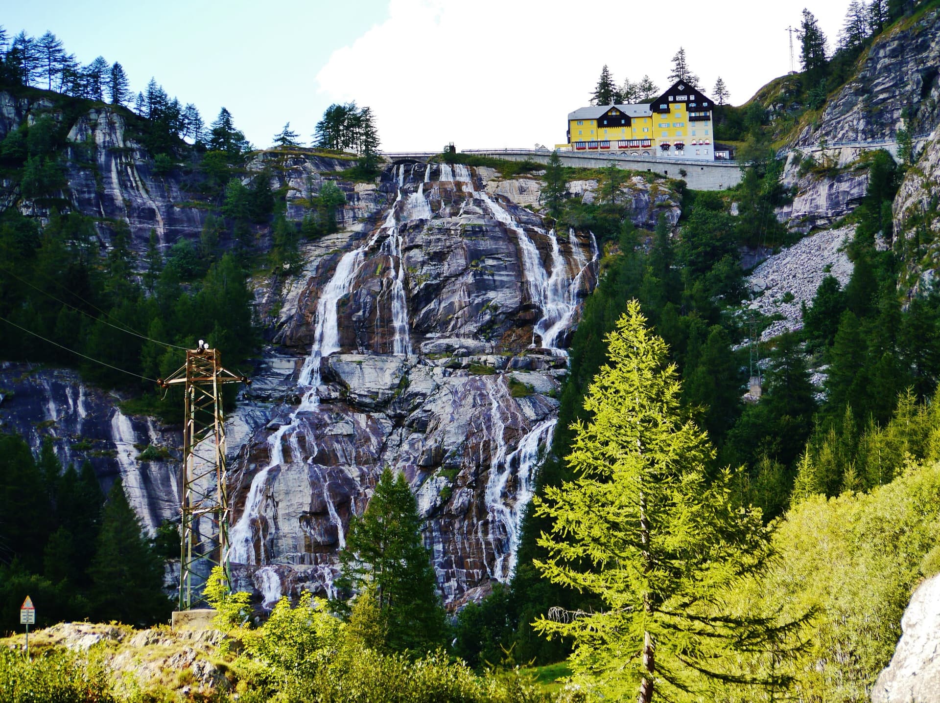
Alpe Gorta above Crevoladossola, with the rocky outcrops behind the huts

Italy · Val d'Ossola

Il Solitaire

A long, sunny friction-slab route of about 35 m pitches on excellent rock, ideal for learning footwork. The hardest move is a short crack-and-chimney finish on the last pitch. Allow about 3 h up and 1 h down.

5b13 pitches430 m

A view of the region, not this route's wall. Looking down the dark gneiss slabs of Il Solitaire above the Val d'Ossola.

Italy · Val d'Ossola

Il Cammino del Sole

Twelve long pitches of sunny gneiss slab above Oira, mostly 4c to 5b+ with two 6a pitches: a thin slab at the start and an athletic corner on pitch 10. Pitches are up to 55 m. A winter-sun route with a summit book and plaques at both ends.

6a12 pitches530 m

The Toce waterfall at La Frua; Zar climbs the slabs beside the fall

Italy · Val d'Ossola

Zar

A short beginner's multipitch on the slabs beside the 143 m Toce waterfall. Two very easy friction pitches, a steeper slab and a well-featured open corner to finish. Closely bolted, quick to reach and cooled by spray from the falls.

5b4 pitches120 m

A view of the region, not this route's wall. Looking down the dark gneiss slabs of Il Solitaire above the Val d'Ossola.

Italy · Val d'Ossola

Veia di Bruchita

Three friendly pitches of 5a to 5b on rough, featured rock, then a change of gear: an intricate 6a with two traverses and a short, powerful 6a+ through juggy bulges that can be pulled through on fixed cords. A half-day route in the Veglia-Devero park, an hour's walk past Crampiolo.

6a+5 pitches160 m

Around 6a+ · about 6 pitches

Similar elsewhere

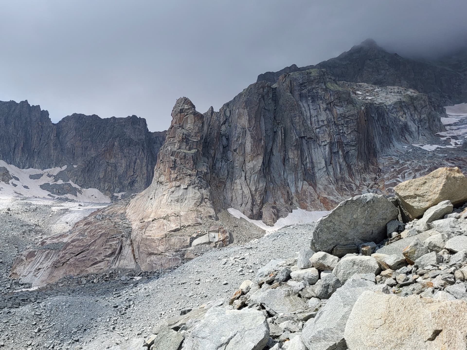
The Hannibalturm, a granite tower standing in front of the walls of the Gross Bielenhorn above the Sidelen glacier.

Switzerland · Furka

Conquest of Paradise

The classic of the Hannibalturm: six short, wandering pitches of slab, quartz veins, cracks and a 6a+ slab crux on perfect high-mountain granite at 2800 m. A bench and a bus-stop sign wait on the summit. Very popular, so expect company.

6a+6 pitches180 m

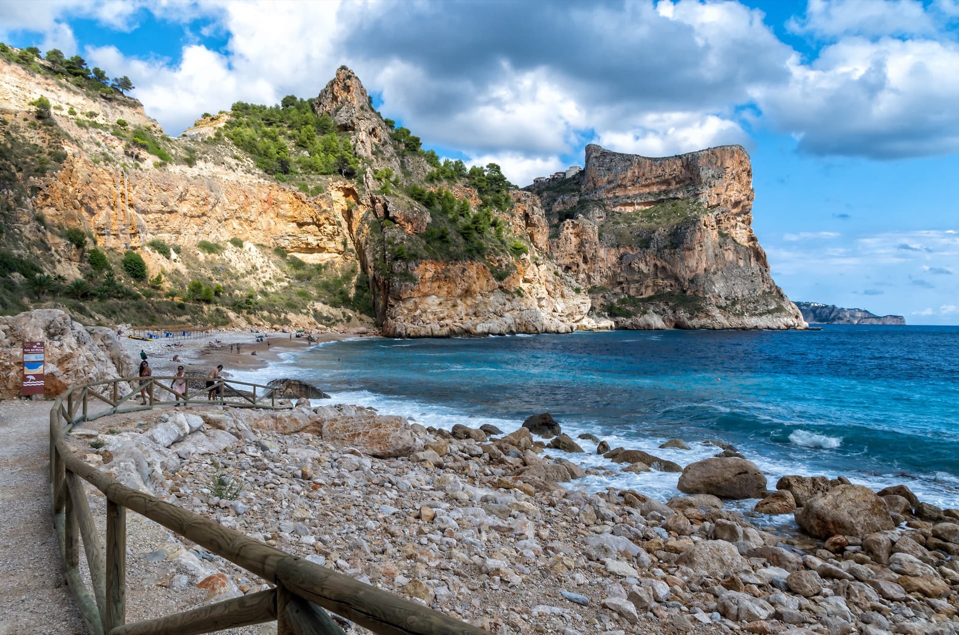
The flat-topped sea cliff of Morro Falquí closing the south end of Cala del Moraig, Benitatxell. Sonjannika climbs on this headland; the line cannot be pointed to from here.

Spain · Costa Blanca (Morro Falquí)

Sonjannika

A superb sea-cliff multipitch. P4 makes an impressive exposed exit from a cave with 100 m of air below, and the 6a+ P5 has a chimney and fingery slab. Balancy, airy and great for introducing someone to multipitch.

6a+6 pitches170 m

Read the cautions

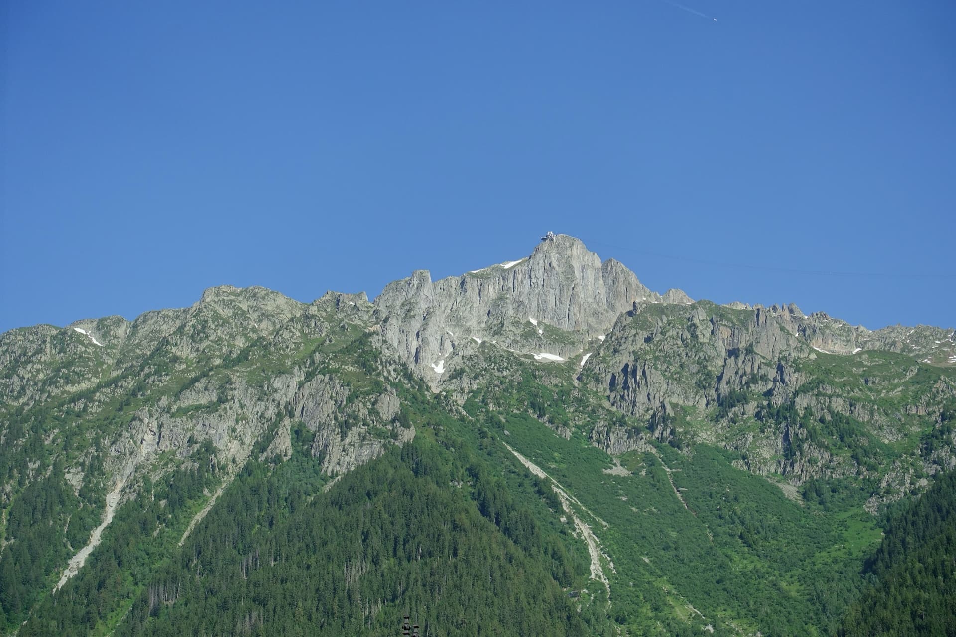
The summit of Le Brévent and the rock face beneath its cable-car station, seen from the Chamonix valley; the Voie Frison-Roche climbs this south-east face, the exact line is not marked.

France · Chamonix valley

Voie Frison-Roche

The great classic of the Aiguilles Rouges: six varied pitches of gneiss, ten minutes downhill from the Brévent cable car and finishing at its top station, with Mont Blanc opposite. The crux is a short, physical corner crack and the last pitch is a long, clean corner. It is extremely popular.

6a+6 pitches200 m

The Hintisberg wall from the alp; Blüemlipfad is on the left-hand sector

Switzerland · Bernese Oberland

Blüemlipfad

Six fairly short pitches on the left-hand sector of Hintisberg, left of the big overhangs. The first three are moderate and on less good rock; the upper three are steeper, with the 6a+ crux on small edges on pitch 4, and finish on a grassy top with the whole Bernese Oberland in view. Grades are on the stiff side.

6a+6 pitches180 m

Compiled from published sources and last verified October 2026. Bolts, anchors and access change. Climbing is dangerous and you are responsible for your own decisions: check a current topo and read the disclaimer.