Croatia · Paklenica
Karamara Sweet Temptations
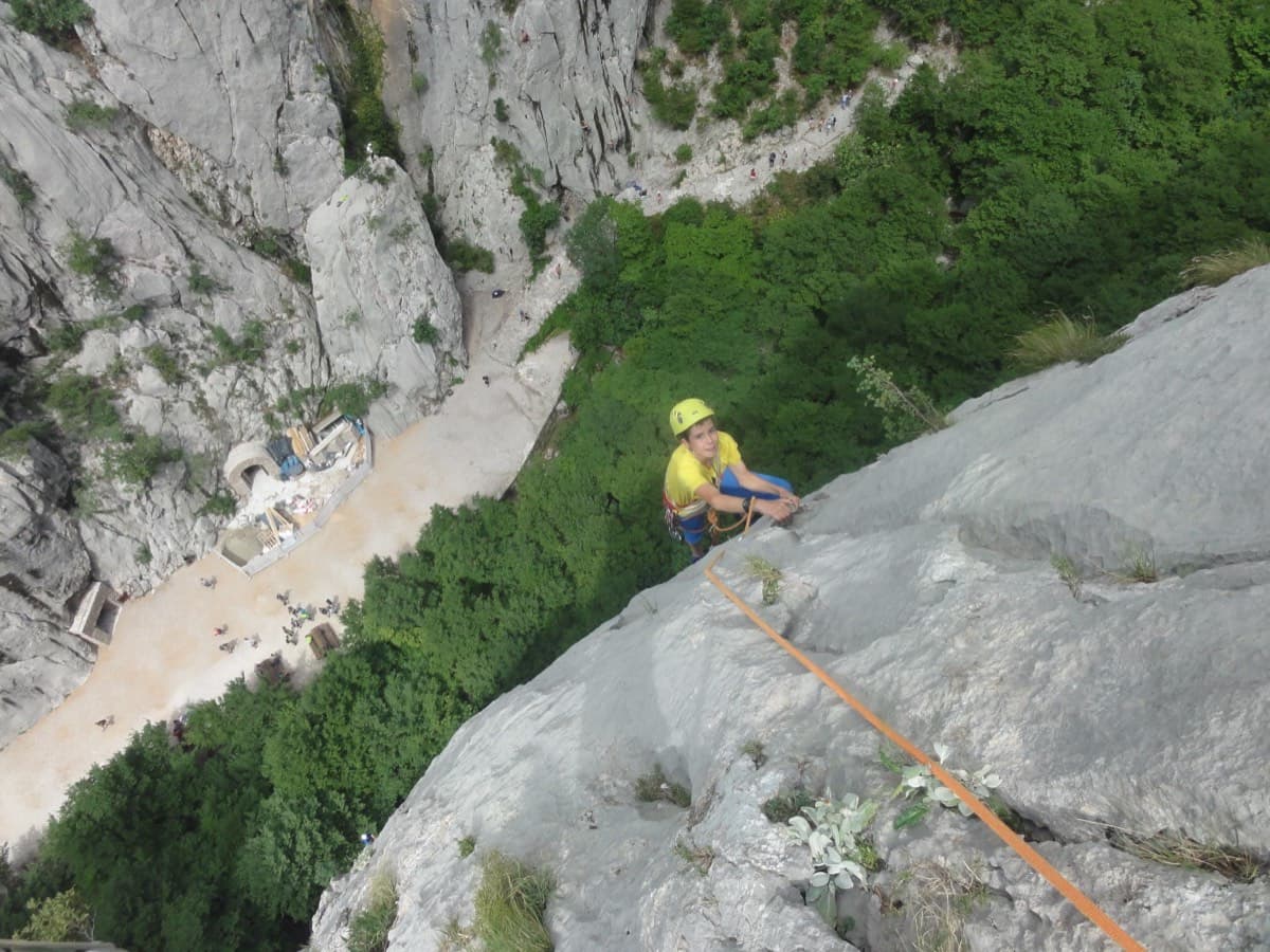
A five-minute approach from the gorge café. There is a polished boulder-problem start, then wandering grooves and an airy traverse on the 6a+ third pitch.
6a+4 pitches110 m
Read the cautions
Anića kuk – north-west face (Trapez sector) · Paklenica · Croatia
Bail not documentedBolting confidence: high
A modern line by B. Čujić and I. Matković up the full height of the Trapez sector of Anića kuk: ten pitches, 360 m, steady between 5c and 6b+. It starts right of the classic Mosoraški, crosses it in the upper middle part and finishes to its left. Slabs low down, then a vertical crack, superb vertical slab pitches, a huge corner with a chockstone and an exposed traverse.
The route
Besmrtnici is one of the few routes that climbs the whole north-west face of Anića kuk with sport-route protection. It keeps a constant standard: the grades given are for single moves or a few metres on each pitch, and nothing is harder than 6b+. bergsteigen.com describes the bolting as very good, with every belay bolted, and says friends are not needed. The upper half has the best pitches. You top out five minutes below the summit and walk down the normal path, so a single pair of 50 m ropes and 12 quickdraws is all you carry.
The climbing
| Pitch | Grade | Length | Notes |
|---|---|---|---|
| P1 | 6a | 45 m | Straight up, then slightly left to the belay. |
| P2 | 6a+ | 40 m | Up and right over enjoyable slabs to a belay about 10 m right of Mosoraški. |
| P3 | 6a | 30 m | Slightly left at first, then over a small bulge (keep right) and straight up to the belay. The rock is somewhat brittle on this pitch. |
| P4 | 5c | 25 m | Up and right along a crack to a comfortable belay on a pedestal. |
| P5 | 6b | 35 m | A vertical crack, then slightly left over a superb slab passage and straight up to the belay. A 2026 ascensionist thought it nearer 6a+. |
| P6 | 6b+ | 35 m | A superb slab pitch, straight up. The hardest pitch. |
| P7 | 6b | 45 m | Vertical slabs, then a loop right and back left straight into the huge corner. Follow the corner and climb over a big chockstone to the belay. |
| P8 | 5c | 25 m | A very fine, steep corner, then an almost horizontal, very exposed traverse left to the belay. |
| P9 | 6a | 30 m | A prominent crack-corner up to the roof, a traverse right on big holds, then vertical slab to the belay. |
| P10 | 5c | 50 m | Follow a prominent crack straight up and finish over eroded rock to the top. A 2024 comment warns that this last 5c is serious and should not be underestimated. |
Getting there
Base yourself in Starigrad-Paklenica, on the coast road between Rijeka and Zadar. From Zagreb it is about 235 km by the A1 to the Maslenica exit, then 15 km along the coast. A signed road leaves the eastern end of the village for the national park. Buy a ticket at the entrance (climbers can buy 3-day and 5-day tickets), then drive on to the last car park at the end of the road.
From the last car park follow the main path up the gorge. After about 15 min, at a marked left-hand bend, a signed path branches right for Anića kuk. Follow it for about 100 m to a fork: right goes to the Stup, left to the Trapez, Klin, north-west and north faces. Go left. The start is close to that of Mosoraški, right beside the path in the zone of the last big rockfall, at about 400 m. About 45 min.
Loading map
The point marks the crag, not the exact start of the route.
Parking
Last car park in the Velika Paklenica gorge (bergsteigen.com map marker 'Ende der Straße')
Point from camptocamp waypoint 43174 (Anića kuk)
Contains the route point and parking. Opens in most mapping apps and GPS watches.
Points are compiled from published sources, with the precision stated above. They were not surveyed on the ground: check them against a current topo.
Coordinates: 44.30699, 15.48244 (crag) · Parking: 44.30372, 15.47109
Getting down
From the top it is a few minutes up to the summit of Anića kuk (712 m). Follow the red dots of the normal path north-east down over blocky ground into the wood, then the well-trodden path almost level northwards to a signed saddle and path junction. Take the path left (west) down under the north face until you are back at the foot of the wall, and return to the car park by the approach path. About 1 hour.
Retreat
Bail not documented
Retreat is not documented: the route is described only as climbed to the summit with a walk-off. All belays are bolted and the pitches are 25 to 50 m, so abseiling on two 50 m ropes looks feasible from the lower belays, but nothing confirms abseil rings or a clean line.
Partly inferred from the route facts
Safety
Sun and weather
North-west facing, start at about 400 m, top at 712 m. camptocamp notes for the neighbouring Albatros that this side of Anića kuk only gets the sun in the evening, yet can still be hot in summer. bergsteigen.com marks May, June and September. Allow about 4 hours for the route and 5 h 45 in all.
Sun on the wall · NW-facing
Working out the sunlit hours for this month.
Sun on the wallDaylight, wall in shade● Usual season
Estimated from the wall's aspect only. Ignores surrounding terrain, gullies and the wall's exact shape. Clock times are local to the wall (Central European time), for the 15th of each month.
| Measure | Jan | Feb | Mar | Apr | May (usual season) | Jun (usual season) | Jul | Aug | Sep (usual season) | Oct | Nov | Dec |
|---|---|---|---|---|---|---|---|---|---|---|---|---|
| Mean daily high °C | 7 | 8 | 12 | 16 | 21 | 25 | 28 | 28 | 23 | 18 | 13 | 8 |
| Mean daily low °C | 0 | 0 | 3 | 7 | 12 | 16 | 18 | 18 | 14 | 10 | 6 | 2 |
| Rain days 1 mm or more | 11 | 10 | 11 | 12 | 11 | 8 | 6 | 6 | 9 | 11 | 13 | 12 |
● marks the usual climbing season. Averages for 1991-2020 at about 262 m. Area climate from Open-Meteo reanalysis. Temperatures are adjusted to the height of the crag; rain comes from a grid cell of about 10 to 25 km, and summer highs on sea cliffs can read a few degrees low. The wall and valley can differ. Data: Open-Meteo, CC BY 4.0.
What to carry
12 quickdraws, 2 or 3 long slings and two 50 m ropes (bergsteigen.com). Its protection note says a medium set of nuts and cams is 'useful', but its summary and remarks say cams are superfluous and not strictly necessary. Helmet.
Derived from the route data; check it against a current topo
From climbers
Reader reports are not being collected yet. Until they are, check a current topo and the local club or guidebook publisher for recent changes to Besmrtnici.
Worth knowing
Open questions
Provenance
Same area
Croatia · Paklenica
A five-minute approach from the gorge café. There is a polished boulder-problem start, then wandering grooves and an airy traverse on the 6a+ third pitch.
6a+4 pitches110 m
Read the cautions
Croatia · Paklenica
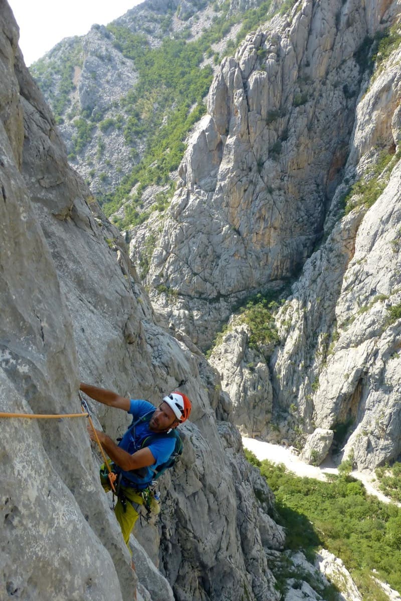
Classic Paklenica water-groove climbing on beautifully sculpted rock. The crux is a rising crack traverse on P5, with delicate slab moves above.
6a+6 pitches160 m
Read the cautions
Croatia · Paklenica
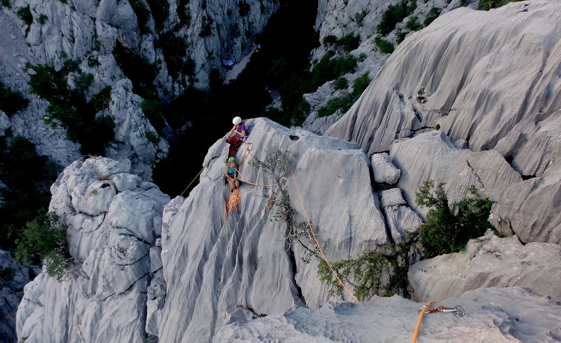
A short, high-quality modern line: a clean straight first pitch, then a steep crack crux and magnificent water grooves.
6a+5 pitches100 m
Read the cautions
Croatia · Paklenica
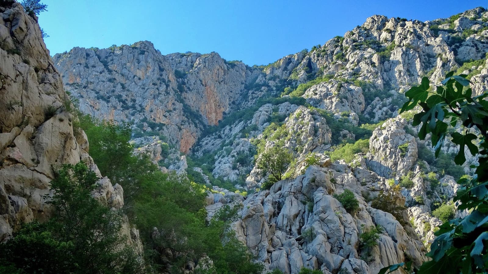
The line used for Paklenica's annual Big Wall Speed Climbing competition: steep, direct and on very rough rock that has stayed unpolished. A sustained 45 m 6c+ pitch on small holds is the crux, followed by sharp runnels, a big corner and three overhangs to finish. Fifteen minutes from the car.
6c+6 pitches200 m
Around 6b+ · about 10 pitches
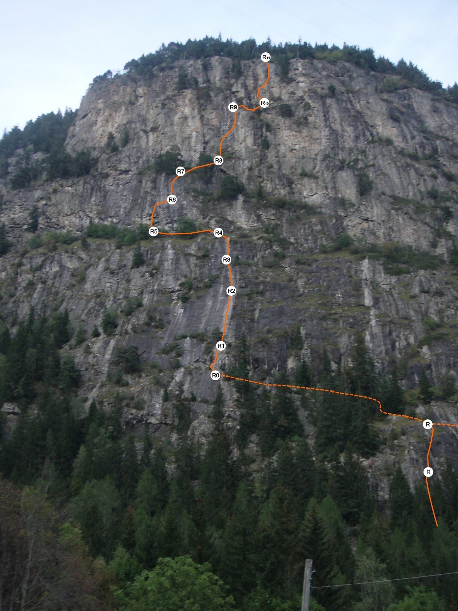
France · Chamonix valley
The original line on the Barberine wall: four pitches of fine, delicate slab above a bouldery first move, then steeper and more athletic climbing through the upper tier, with a superb 6b layback-and-wall pitch near the top. Ledges cut it into sections, so it never feels very exposed, but it is sustained at 6a to 6a+ throughout.
6b+10 pitches250 m
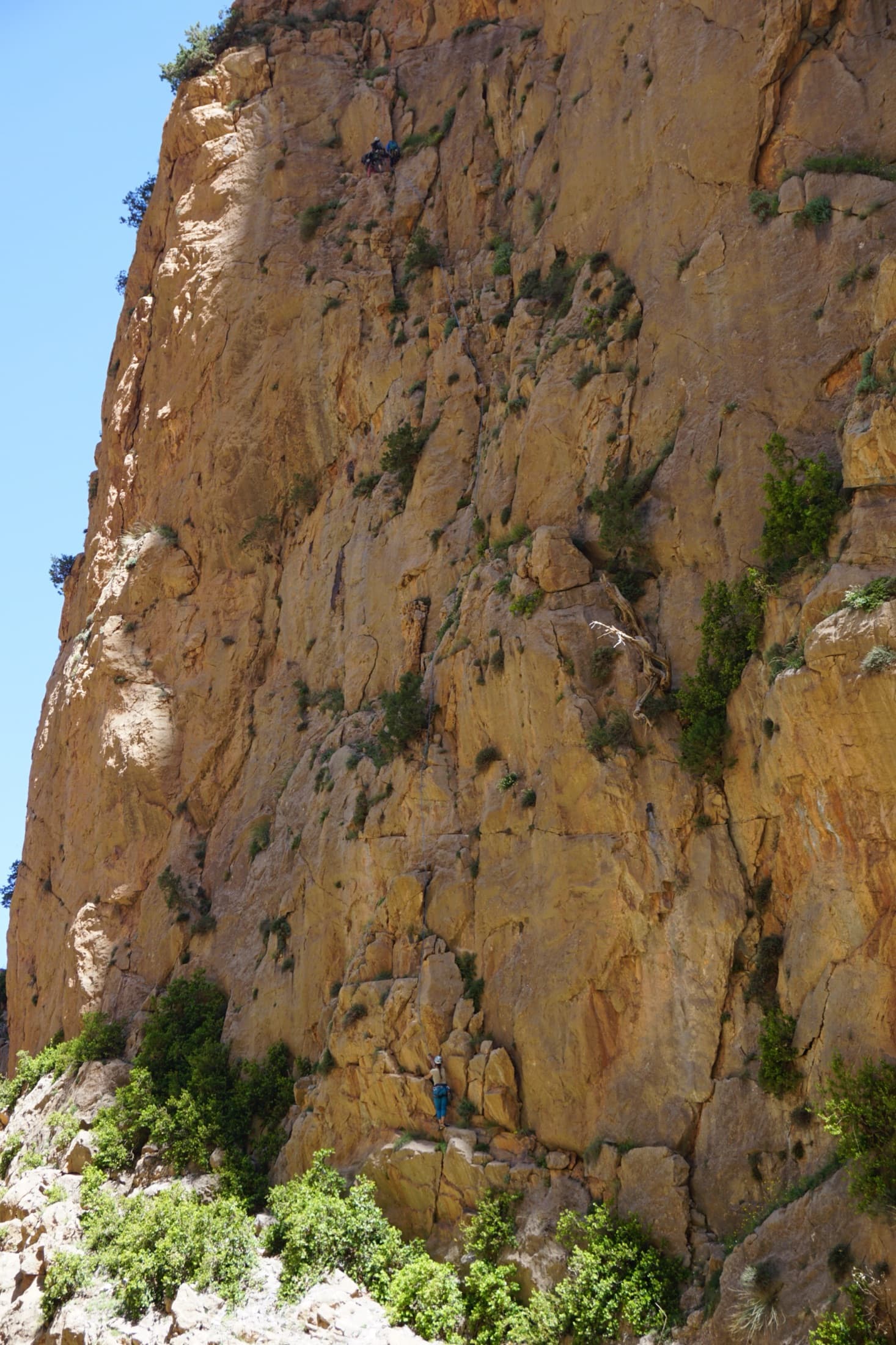
Morocco · Taghia
Ten pitches of even 6b and 6b+ on compact rock ten minutes from the gîtes, mostly technical slab and wall climbing on your feet, with a 50 m sixth pitch on vertical edges that everyone singles out. It is among the most accessible long routes at Taghia, in the shade for most of the day, and a little polished low down.
6b+10 pitches330 m
Read the cautions
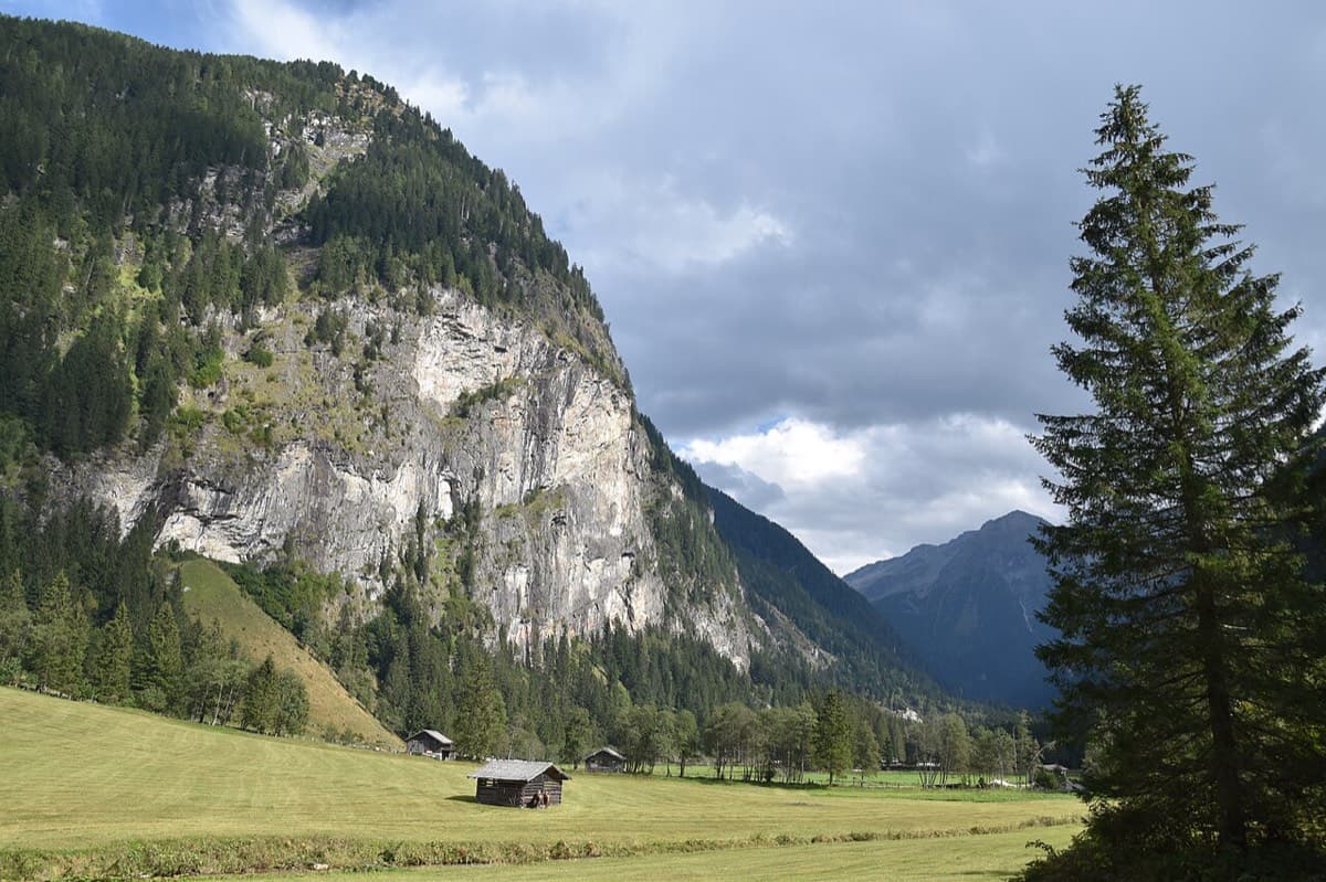
Austria · Gastein (Hohe Tauern)
Ten pitches of varied climbing on good rock, mostly slabs with some cracks and steeper passages. Largely UIAA 5 with a few moves of 6 and three spots of 7 that go at 6+ A0. A short walk-in and a rigged abseil line.
6b+10 pitches350 m
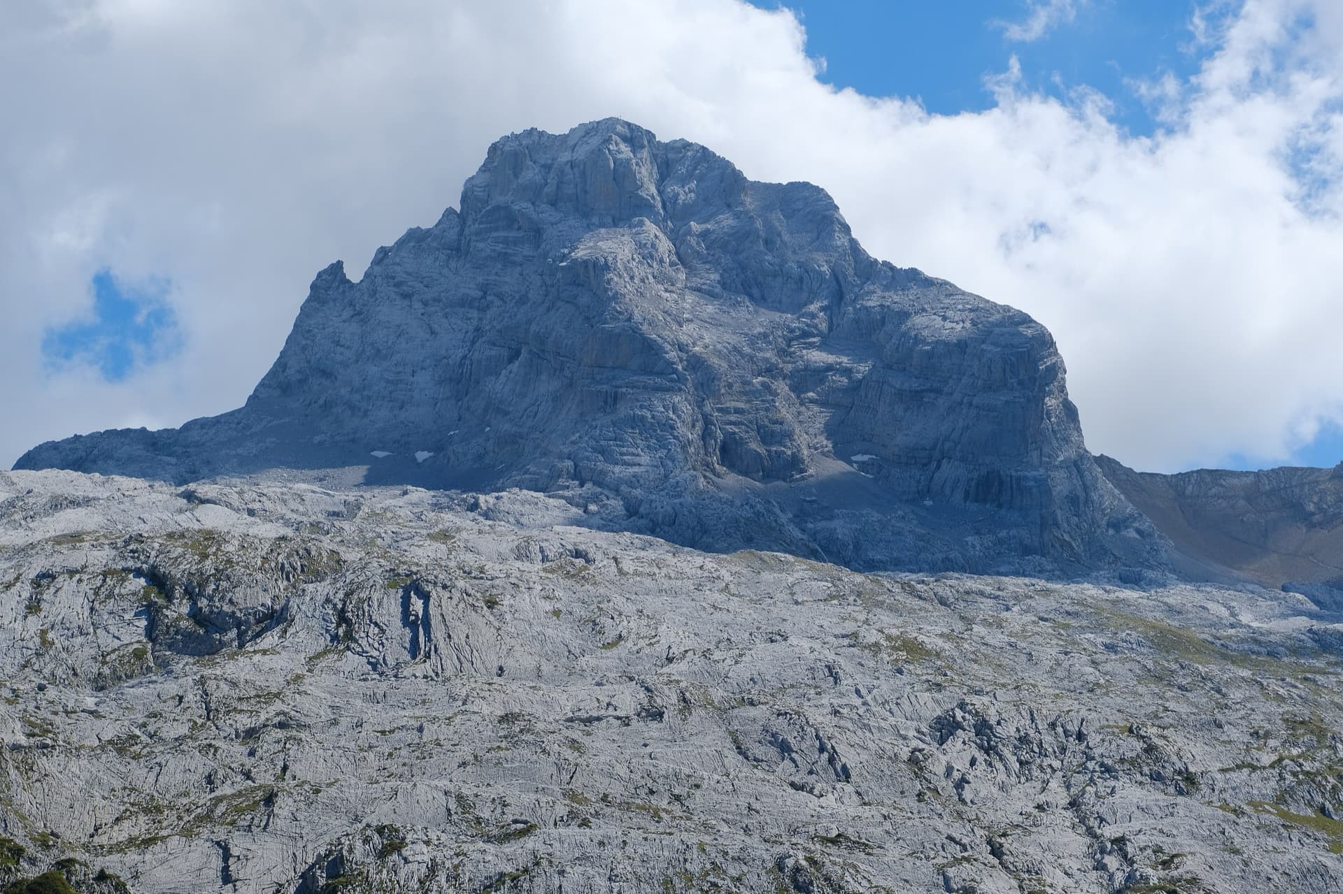
France · Aravis
A ten-pitch line to the summit of the Pointe Percée, the high point of the Aravis, following green hangers up the cool north-west face. Seven long pitches, mostly easy with a 6a+ wall, reach the notch of the Arête du Doigt; three independent pitches finish it, including a memorable slab traverse of 6b+ that can be aided on the bolts.
6b+10 pitches400 m
Read the cautions
Compiled from published sources and last verified October 2026. Bolts, anchors and access change. Climbing is dangerous and you are responsible for your own decisions: check a current topo and read the disclaimer.