Multipitch Atlas

Spelling need not be exact.

Cocher-Cochon

Clocher de Planpraz (Aiguilles Rouges) · Chamonix valley · France

Bail with caveats

Eight south-facing pitches above Planpraz, facing Mont Blanc: five up a first buttress, a short abseil and walk, then three more to the summit of the Clocher de Planpraz. Slabs, cracks and aretes, steady at 5b and 5c, with an exposed 6a arete to finish that most parties call the best pitch. Very popular in July and August.

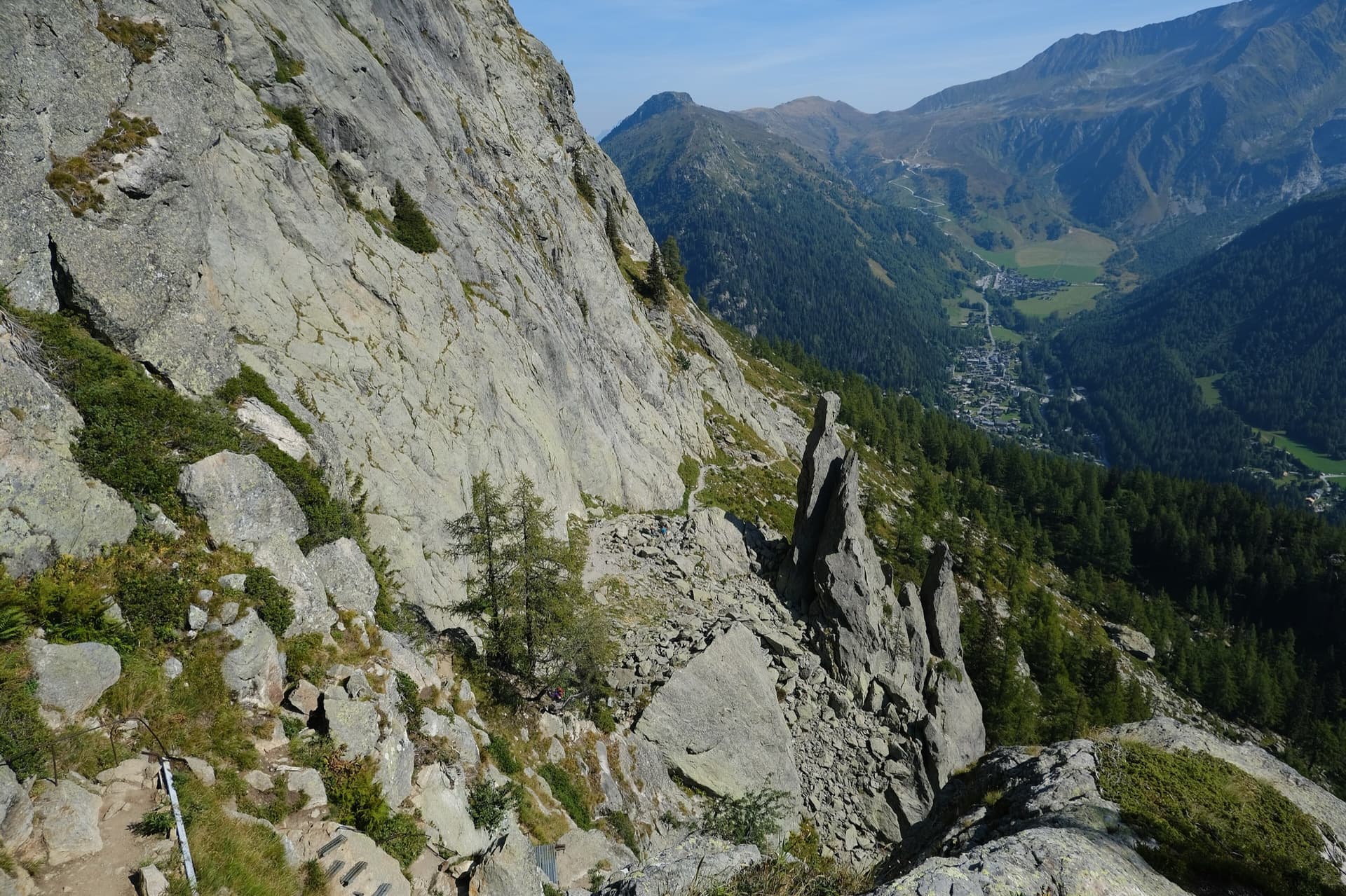
The pinnacle beside the abseil from the fifth belay on Cocher-Cochon, with the Chamonix Aiguilles and Mont Blanc across the valleyPhoto: Juuuuuuuulien · CC BY-NC-ND 3.0

Photo

Approach photo

Hardest pitch
6a
Pitches
8
Length
240 m
Approach
30 min
Aspect
S
South-facing
Rope
1×60 m
Rock
gneiss
Season
Jun to Sep
Bolting confidence
High
Last verified
October 2026 · Compiled from published sources

Overview

Cocher-Cochon climbs the south side of the Clocher de Planpraz, a small rock tower above the middle station of the Brévent lift. The route comes in two parts: five pitches up a first buttress to the top of a gendarme, a short abseil and a few minutes' walk, then three pitches to the summit of the Clocher. The climbing is steady at 5b and 5c on slabs, cracks and aretes, and the last pitch is an exposed 6a arete that every report singles out. It was bolted in 2000 and recent parties describe the bolting as excellent. Some find the grades stiff, and the fourth, seventh and eighth pitches feel exposed.

Worth knowing

  • Take the first lift. Recent parties took 3.5 to 4.5 hours on the route, and up to 6 hours with queues.
  • You can skip the easy first pitch and start at the first belay.
  • The last pitch has escapes: left about 5 m before the last belay to reach the descent path, left after 10 m of the pitch, or right from the ridge into the 4c crack of the normal route.
  • Camptocamp suggests linking it with the Clocher-Clochetons traverse for a longer day, adding 2 to 3 hours.

Pitch by pitch

Topo of Cocher-Cochon on the Clocher de Planpraz, with belays and pitch grades markedTopo: Robin Bonnet (passion-alpes.com) · CC BY-SA 3.0

Topo

Pitches of Cocher-Cochon
PitchGradeLengthNotes
P14a30 mAn easy warm-up up a slabby corner and rib with grassy ledges, then a short buttress and a step right to a belay on one bolt and a peg. Several parties skip it and start at the first belay. Rockfax grades it 4b.
P25c30 mFollow the arete just right of the crest on good holds to a steep pull on thin holds, then a slab rightwards to a belay on a narrow ledge.
P35b40 mTraverse a little right, then climb about 30 m of fine slab and wall before stepping right to a comfortable belay ledge.
P45c+25 mMore slab, then a pillar or crack-corner with one athletic move that can be aided (A0), and a traverse left to a small grassy terrace. Rockfax grades it 6a.
P55a25 mCross the gully behind the belay and follow the rib and ridge, with a short steep wall, to the top of the gendarme. Then make an awkward 14 to 15 m abseil to the boulders and walk about 5 minutes north along the foot of the walls to the next pitch.
P65c30 mSteep cracks in a grey wall with two starts: 5b on the left, or 6a+ about 5 m to the right. They join after 5 m and lead up a cracked slab to an uncomfortable hanging belay. A 2026 party found the 6a+ start interesting and not too hard.
P75b20 mFinish the slab, follow the crest of the ridge, then step off left and traverse back right, slightly downwards, to an exposed ledge at the foot of the final arete. Rockfax grades it 5a.
P86a40 mThe pitch of the route. Climb the arete for about 10 m, then move right through a steeper section onto the south-west ridge (5c obligatory) and follow it in a superb position to the summit of the Clocher. An easier 4c line follows a wide crack in the slab on the right, but it is described as committing and its gear looked older to a 2026 party.

Approach

To the parking

From Chamonix take the Brévent gondola to its middle station at Planpraz (2000 m). A June 2026 party caught the first lift at 8:35. The route depends on the lift unless you walk up from the valley.

On foot · about 30 min

About 30 minutes. From Planpraz follow the path towards Lac Cornu for 15 minutes. In the middle of the scree, at a cairn, go up the first combe on the left for 15 minutes, keeping left of a rocky knoll; there is another cairn higher in the combe. The Clocher is the tower high up on the right. The route starts at the toe of a small buttress, where a marker bolt sits about 1.5 m off the ground.

Map of the walk-in

Coordinates · crag

45.94694, 6.84583

Point from camptocamp waypoint 39723 (Le Clocher de Planpraz summit)

For your phone or watch

Download GPX

Contains the route point.

Points from published sources, not surveyed.

Descent

From the summit of the Clocher, abseil 25 m to its foot on the left; camptocamp says the rope only just reaches. Then follow the walkers' path from the col back to Planpraz, about 25 minutes. On a windy day, feed the rope down as you go rather than throwing it.

Bailing off the route

Bail with caveats

The route is split in two by an abseil and a short walk after pitch 5, and the last pitch has several escapes onto the descent path. Retreat from the first five pitches is not documented, but the belays are bolted and linked and the pitches are 25 to 40 m, so abseiling is likely possible, but pitches 3 and 8 (40 m) are longer than a single 60 m rope reaches in one abseil.

Retreat from
The top of pitch 5 (the gendarme), where the route abseils anyway; the foot of pitches 6 to 8, from which you can walk back; and three escapes on the last pitch.
Point of no return
None stated. Once on the last pitch, the escapes left lead to the descent path.
Carry
Cord or maillons if you must abseil the lower pitches. On a single rope a 40 m pitch cannot be abseiled in one go, so you may have to leave gear part-way.
Basis
Part stated, part inferredCamptocamp states the abseil after pitch 5 and the escapes on the last pitch; retreat from the lower pitches is inferred from the bolted, linked belays and the pitch lengths.

In an emergency · France

112Emergency; sends PGHM or CRS mountain rescue

  • 17Gendarmerie and police

Position of the crag

45.94694, 6.84583

Marks the crag, not the route: give route and pitch.

Say what happened, how many are hurt, and where you are. Checked October 2026 (source).

Hazards

  • In 2020 a UKC user reported big blocks on the lower arete of the last pitch sounding and feeling loose, and suggested moving right into the corner crack after the second or third bolt. No later report mentions it.
  • The route is very busy in summer. The belay before the last pitch is small and a 2026 party said it gets crowded; slower parties ahead cause long waits.
  • The belay at the top of pitch 6 is hanging and uncomfortable.
  • The 25 m summit abseil only just reaches the ground with a 50 m rope.
  • Bolts are more spaced on the easy ground than on the hard moves.

Gear

About 12 quickdraws. A single 60 m rope; a 2025 party found a single 50 m rope enough. Slings and cord for the belays. Helmet. One 2020 report suggests a few nuts if you avoid the loose blocks on the last pitch by moving right into the crack.

Checklist

Quickdraws
12
Rope
1×60 m
Helmet
One each
Abseil device and prusik
For abseiling
Maillons or spare karabiners
To leave behind if you retreat
Cord
Mentioned for retreat

Conditions

Plan B nearby

Straight-line distances, up to 30 km.

Reader reports

No reports yet.

Report a problem with this route

Say what and where. Reports are checked before they appear; no name or email is stored.

Bolts and history

Bolting
Bolted throughout with bolted belays; camptocamp rates it P1 and calls the bolting rock solid, close on the hard moves and more spaced on the easy ground. Parties in 2026 found the bolting faultless and every belay linked with cord. The first belay is one bolt and a peg.
History
Opened on 19 August 2000 by Jérémy and Morgane Franc, Manu Méot and Christophe Mussat.
Guidebook
Rockfax 'Chamonix' (2022) and Michel Piola's 'Les Aiguilles Rouges' vol. 2 (2012), both listed by UKC. Recent parties found the camptocamp and Rockfax topos clear.

Where sources disagree

  • Pitch grades: camptocamp gives 4a, 5c, 5b, 5c+, 5a, 5c, 5b, 6a; Rockfax gives 4b, 5c, 5b, 6a, 5a, 5c, 5a, 6a. Camptocamp is used here. A 2026 party called the grades stiff.
  • Length: Rockfax gives 240 m with pitch lengths that add up to it; UKC's header says 250 m. Pitch lengths are Rockfax's.
  • Summit abseil: 25 m in the French and English camptocamp text, 30 m in the Spanish text.
  • Obligatory grade on the last pitch: 5c in the French camptocamp text, 6a in the Spanish.
  • No route source states the rock type; gneiss is the rock of the Aiguilles Rouges massif.

Sources

More in Chamonix valley

All routes in Chamonix valley
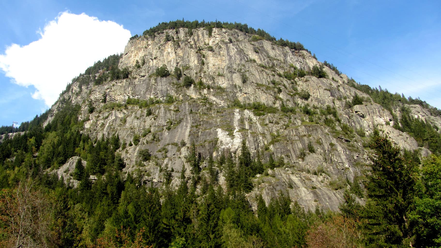
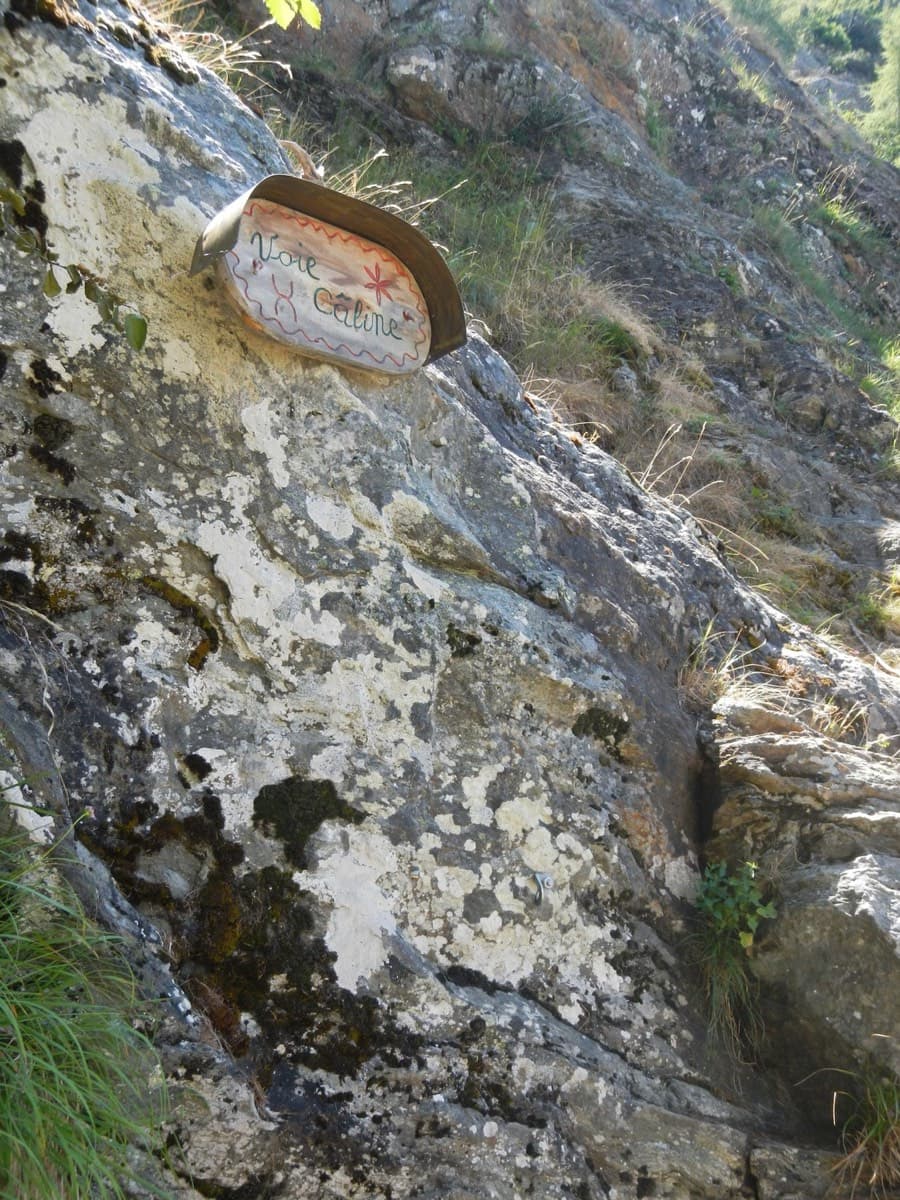
The painted sign marking the start of the Voie Câline on the Rocher des Mottets

France · Chamonix valley

Voie Câline

Nineteen very short pitches of easy slab above Les Bois, never harder than 4b and bolted like a climbing school. It is the standard first multipitch of the Chamonix valley, long enough to feel like a real outing and finishing at a mountain café with a view of the Mer de Glace.

4b19 pitches260 m

The gneiss slabs of Les Chéserys beside the Lac Blanc path, with the pinnacle of the Aiguillette d'Argentière and the village of Argentière below; the Voie Jaune is on these slabs, its exact position is not marked.

France · Chamonix valley

Voie Jaune

A short, friendly slab route on the sunny gneiss of the Chéserys, facing the Mont Blanc range. Five pitches with one vertical step of 4c, chain belays and an abseil descent make it a standard introduction to multipitch climbing.

4c5 pitches150 m

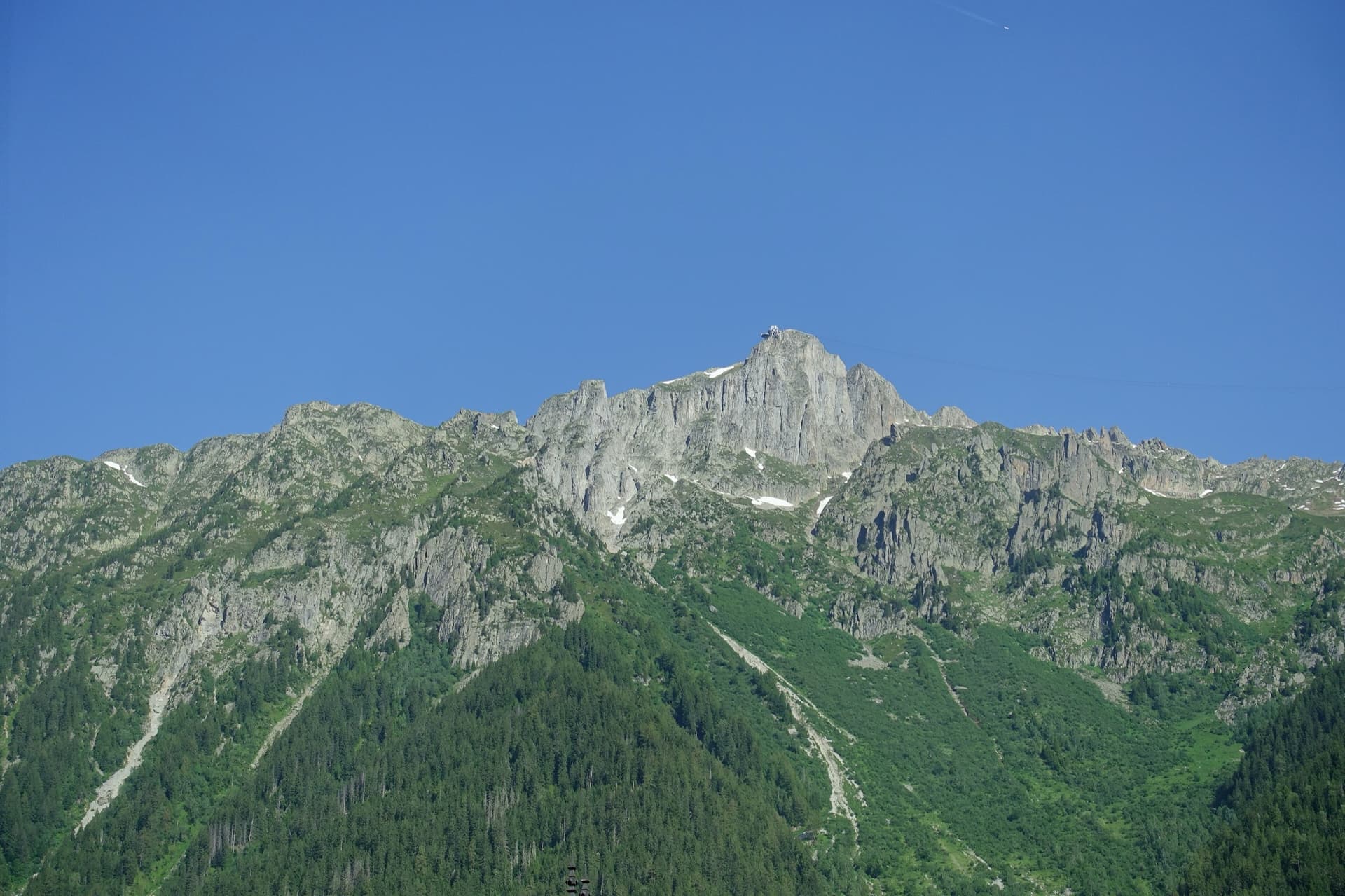
The summit of Le Brévent and the rock face beneath its cable-car station, seen from the Chamonix valley; the Voie Frison-Roche climbs this south-east face, the exact line is not marked.

France · Chamonix valley

Voie Frison-Roche

The great classic of the Aiguilles Rouges: six varied pitches of gneiss, ten minutes downhill from the Brévent cable car and finishing at its top station, with Mont Blanc opposite. The crux is a short, physical corner crack and the last pitch is a long, clean corner. It is extremely popular.

6a+6 pitches200 m

The Barberine cliff above the spruce forest at Vallorcine; Méduse climbs this wall, the line is not marked.

France · Chamonix valley

Méduse

A direct line up the big south-facing slabs of Barberine: three pitches of friction slab to warm up, then steeper, technical walls on small holds. The two top pitches are graded 6b+ and 6c+ if you step round the bolts and 7a if you climb straight up them; 6c is obligatory.

7a7 pitches230 m

Around 6a · about 8 pitches

Similar elsewhere

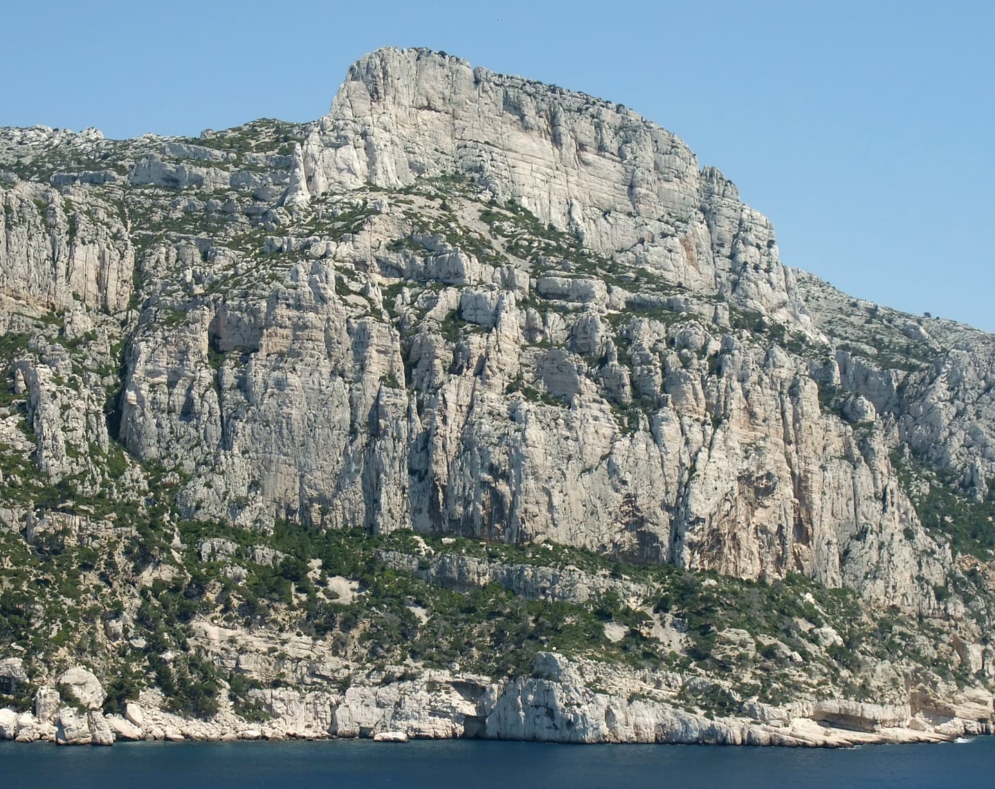
The Grande Candelle and, below it, the wall of the Socle seen from the sea

France · Calanques

La Civa

The classic of the Socle de la Candelle, the big plinth of white limestone below the Grande Candelle. Eight pitches slanting right to left, sustained at 5c with a 6a slab, steep and athletic for the grade and well polished by sixty years of traffic. Often combined with a route on the Candelle above for one of the great days out in the Calanques.

6a8 pitches170 m

Read the cautions

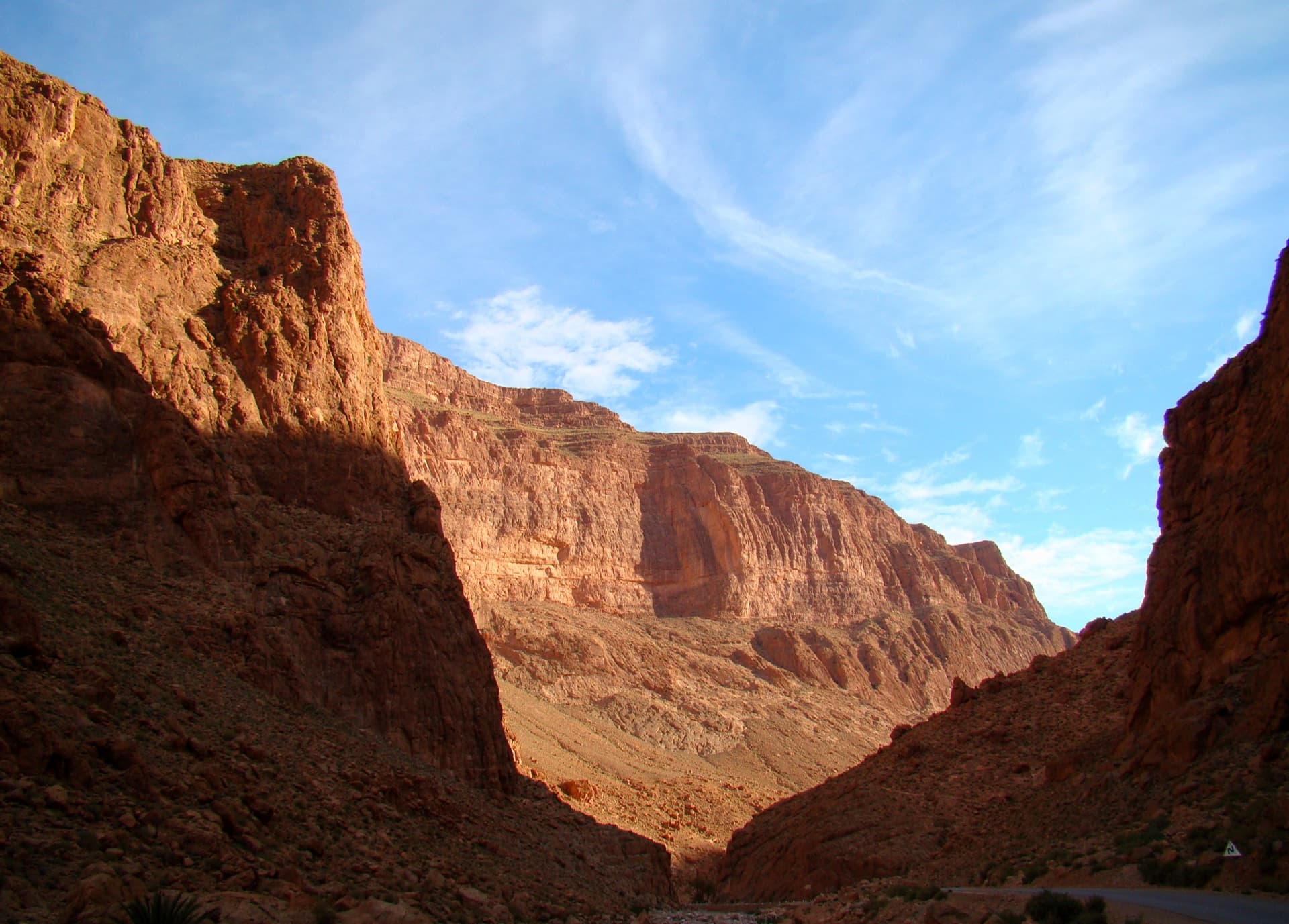
The Todra Gorge looking upstream from above the narrows in morning light. The Paroi du Levant is further up the valley and is not identifiable in this view.

Morocco · Todra Gorge (Todgha)

Hannah chez les grands

Eight pitches up the middle of the Levant wall, with the 6a on the first pitch and steady 5a–5c above. Morning sun. Camptocamp rates the commitment a little higher than the gorge-floor routes because of the length.

6a8 pitches320 m

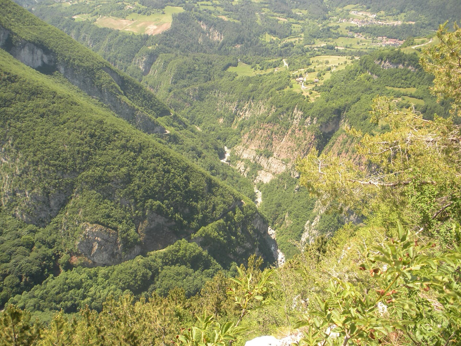
The wooded Limarò gorge of the Sarca, upstream of Sarche; the Parete del Limarò of the Piccolo Dain stands at the gorge's lower end, outside this view.

Italy · Arco & Valle del Sarca

Moon Bears

A popular plaisir line up the lower south-west wall of Piccolo Dain, starting at the gate of the weir in Sarche. Cracks and small corners lead to a fine 6a slab on water drops, then a long corner pitch. Expect queues: three routes share the opening traverse.

6a8 pitches235 m

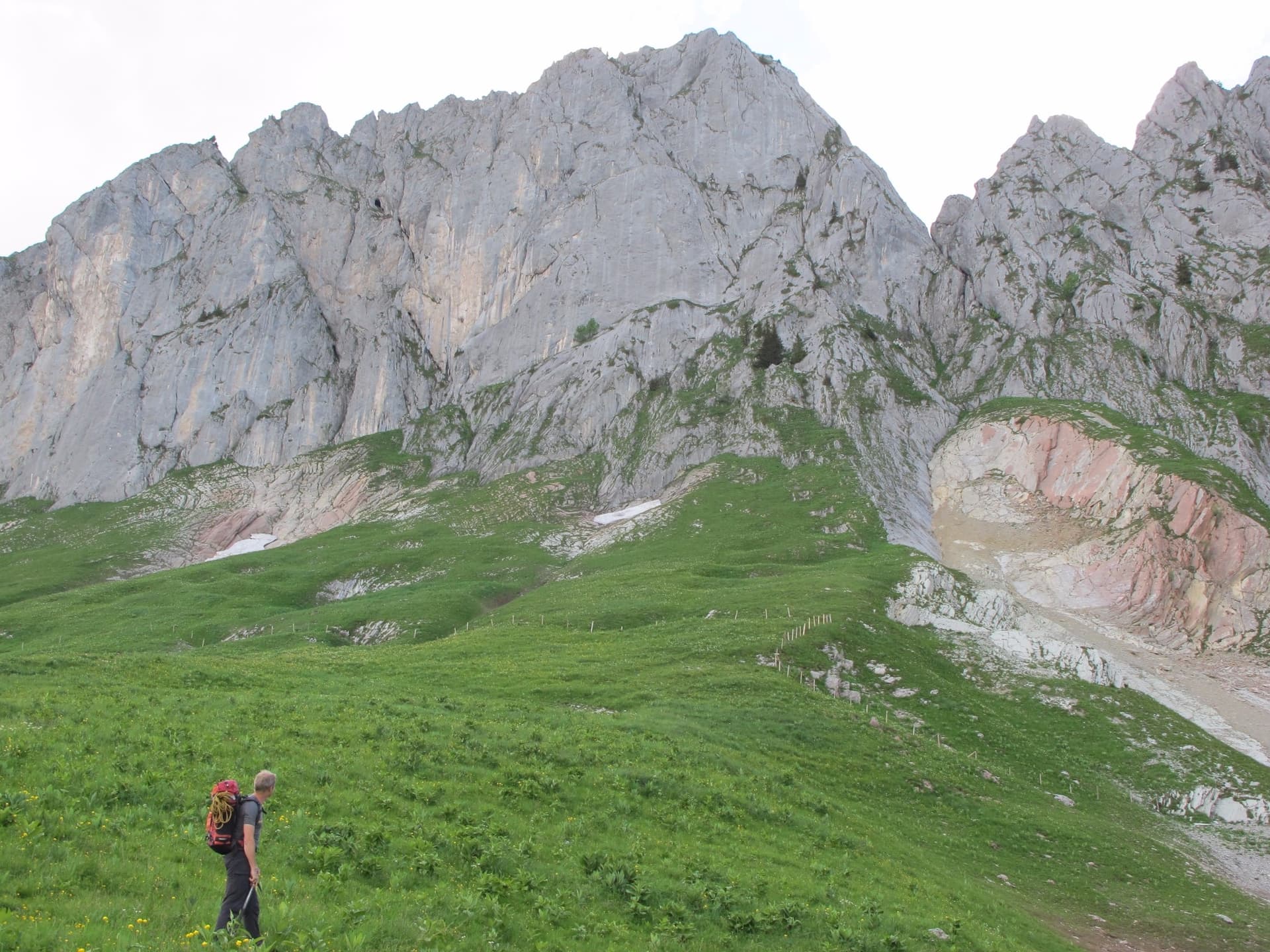
The Gross Turm in the Gastlosen from the pastures below; Pappy's Turm climbs this face.

Switzerland · Gastlosen

Pappy's Turm

A modern eight-pitch plaisir route up the east side of the Gross Turm, with a summit you can scramble to from the last belay. Mostly 5a to 5c on slabs and small pillars, with one delicate 6a traverse on pitch 3 that goes at 5c+ with a pull on a bolt. Pitches 3 and 4 feel stiff for the grade.

6a8 pitches250 m

Compiled from published sources, last verified October 2026. Bolts, anchors and access change: check a current topo and read the disclaimer.